The best cycling routes around Salvaleón
3.7
(3)
47
riders
24
rides
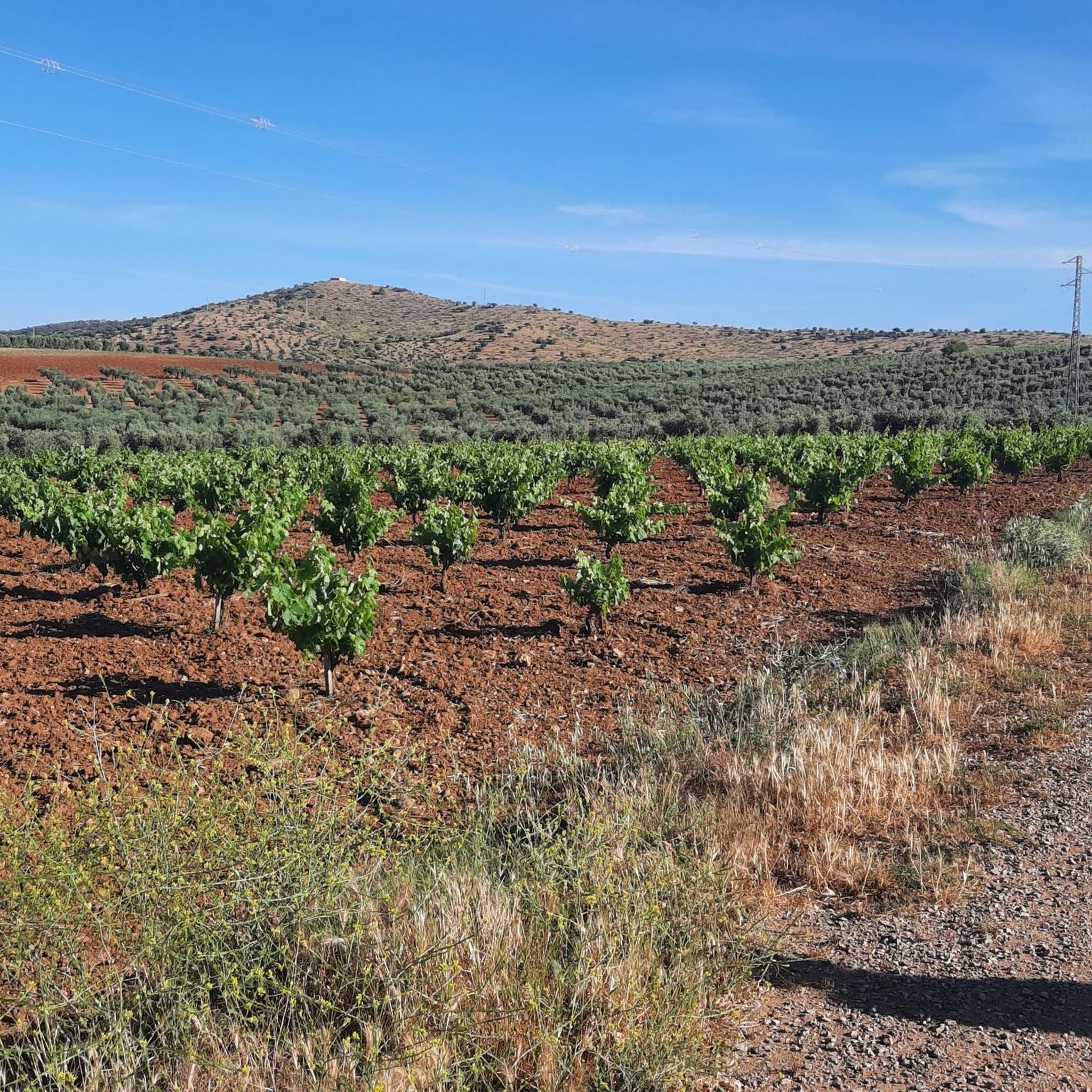
Touring cycling around Salvaleón offers routes through the diverse landscapes of Extremadura, characterized by expansive plains, fertile river valleys, and varied topography. The region features the unique *dehesa* ecosystem, with oak forests providing scenic backdrops for rides. Cyclists can explore areas with both gentle gradients and challenging climbs, reflecting the varied terrain.
Best touring cycling routes around Salvaleón
- The most popular touring cycling route is Salvatierra de los Barros loop from Salvatierra de los Barros, a 18.5 miles (29.7…
Last updated: August 20, 2026
5.0
(1)
6
riders
29.7km
02:28
410m
410m
Moderate bike ride. Good fitness required. Mostly paved surfaces. Suitable for all skill levels.
7
riders
29.2km
02:59
740m
740m
Hard bike ride. Very good fitness required. Mostly paved surfaces. Suitable for all skill levels.

Sign up for free
6
riders
51.0km
04:45
870m
870m
Hard bike ride. Very good fitness required. Mostly paved surfaces. Suitable for all skill levels.
1.0
(1)
5
riders
45.8km
03:57
800m
810m
Hard bike ride. Very good fitness required. Mostly paved surfaces. Suitable for all skill levels.
4
riders
41.0km
03:30
720m
730m
Hard bike ride. Very good fitness required. Mostly paved surfaces. Suitable for all skill levels.
Get access to more routes and recommendations from other explorers.
Sign up for free
Already have an account?
Our route recommendations are based on thousands of hikes, rides, and runs completed by other people on komoot.
Start today with a free account
Your next adventure awaits.
Login or Signup

Tips from the Community

There are two theories about its origin: One links it to a hermitage dedicated to Saint Anne, which gave rise to the settlement. The other places it in the 17th and 18th centuries as a refuge for families from Jerez fleeing an epidemic, under the name of Valle del Pino (Pine Valley).
5
0
Valle de Santa Ana is a picturesque municipality in the province of Badajoz, in the autonomous community of Extremadura, located in the Sierra Suroeste region, very close to Valle de Matamoros and Jerez de los Caballeros.
5
0
Valle de Matamoros is a small and charming municipality in the province of Badajoz, in the autonomous community of Extremadura, located in the Sierra Suroeste region, very close to Jerez de los Caballeros. It lies on the eastern slope of the Sierra de San José mountain range, with altitudes ranging from 550 to 670 meters. Its rugged terrain gives it a unique urban layout, with steep streets and natural viewpoints along the village's access roads.
5
0
The fortress has a 35-metre-high keep and a perimeter wall with cylindrical towers at the corners. Originally, the castle had a drawbridge that allowed access through a moat, although this no longer exists. The castle was restored by the Junta de Extremadura at the end of the 20th century, preserving its structure and historical elements.
7
0
Located in the Badajoz town of Nogales, this medieval fortress built in the 15th century sits on a small hill and its character is purely defensive. For this reason, its most outstanding element is the keep surrounded by a wall, since it was of great importance during the clashes with the French and the Portuguese.
9
0

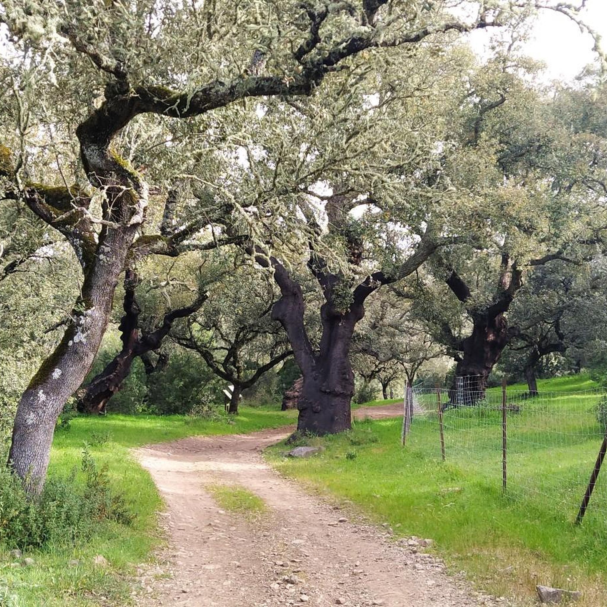
Rolling through the Sierra Suroeste in the limits of Nogales and Salvaleón, we find one of the many single tracks that we will find in this area, especially if we follow the route of the Twelve Apostles.
1
0
Picturesque path that runs along the route of the Twelve Apostles, an ideal route for lovers of hiking and mountain biking, which can be reached from Nogales or, more commonly, from Salvaleón.
1
0
Located between the Monsalud and Rozallana mountains, rolling along beautiful and picturesque trails combined with sigletracks, we are in the area of the route of the Twelve Apostles, planned by the Nature Classroom of the Popular University of Salvaleón and which owes its name to the existence of twelve hundred-year-old cork oaks (currently seven).
1
0
Frequently Asked Questions
How many touring cycling routes are available around Salvaleón?
There are over 15 touring cycling routes around Salvaleón, offering a variety of experiences through the Extremaduran landscape. These routes cater to different skill levels, from moderate to difficult.
What kind of terrain can I expect when touring cycling near Salvaleón?
Touring cycling around Salvaleón offers a diverse terrain, characteristic of the Extremadura region. You'll encounter expansive plains, fertile river valleys, and areas with significant ascents and descents. A defining feature is the unique dehesa ecosystem, with scenic oak forests (holm oaks and cork oaks) providing picturesque backdrops for your rides.
Are there routes suitable for beginners or less experienced touring cyclists?
Yes, there are several routes suitable for those looking for a more moderate challenge. For example, the Salvatierra de los Barros loop from Salvatierra de los Barros is a moderate 18.5-mile (29.7 km) trail with a significant elevation gain of over 1300 feet, offering a rewarding ride without being overly strenuous.
Are there challenging routes for experienced touring cyclists?
Absolutely. For experienced touring cyclists seeking a challenge, Salvaleón offers 11 difficult routes. A notable option is the Castillo de Nogales loop from Salvaleón, a difficult 25.9-mile (41.6 km) path featuring challenging ascents and descents through the local countryside.
What natural features can I see along the touring cycling routes in Salvaleón?
The routes often pass through the distinctive dehesa landscape, characterized by ancient oak forests. You can also encounter significant natural monuments like the Ancient Olive Tree of La Tapada and The Twelve Apostles Cork Oaks. Some routes may also offer views of the Sierra de Tierra de Barros.
Are there any historical landmarks or points of interest to explore while cycling?
Yes, several routes pass by historical landmarks. You can cycle past the impressive Nogales Castle, a prominent feature in the landscape. Another point of interest is the San Juan Hermitage of La Parra, offering a glimpse into the region's heritage.
Are there any circular touring cycling routes around Salvaleón?
Many of the touring cycling routes around Salvaleón are designed as loops, allowing you to start and finish in the same location. For example, the Nogales Castle – Salvatierra de los Barros loop from Salvaleón is a 28.4-mile (45.8 km) circular trail through varied terrain.
What is the best time of year for touring cycling in Salvaleón?
The Extremadura region, where Salvaleón is located, generally experiences hot summers. Spring (April-May) and autumn (September-October) are often considered the most pleasant seasons for touring cycling, offering milder temperatures and comfortable conditions for longer rides. Winter can also be suitable, though days are shorter.
What do other touring cyclists enjoy the most about touring cycling in Salvaleón?
The area is highly rated by the komoot community, with an average score of 5.0 stars. Cyclists often praise the diverse landscapes, from the unique dehesa ecosystems with their ancient oak forests to the varied topography that offers both gentle and challenging sections. The opportunity to explore less-trodden paths is also a highlight for many.
Are there any long-distance touring cycling routes available?
While many routes are day trips, some offer significant distances. For instance, the Valle de Matamoros – Valle de Santa Ana loop from Salvaleón covers 35 miles (56.2 km) with substantial elevation changes, making it a longer and more demanding touring option.
Is there parking available near the touring cycling routes in Salvaleón?
As Salvaleón is a rural area, parking is generally available in or near the starting points of many routes, particularly in the towns or villages. It's advisable to check specific route details or local information for the most convenient parking options.
Can I find less crowded touring cycling routes in Salvaleón?
Given that the cycling infrastructure in Salvaleón is still developing, many routes, especially those created by the community, tend to be less crowded than more established cycling destinations. This offers a great opportunity for cyclists seeking tranquil rides through natural landscapes. Routes like the View of Feria Castle – Views of Feria loop from Salvatierra de los Barros can offer a peaceful experience.
Most popular attractions around Salvaleón

Get inspired with the komoot mobile app


Explore more
Browse the best Cycling routes in other regions.
