The best walks and hikes around Canales De La Sierra
4.6
(148)
1,095
hikers
47
hikes
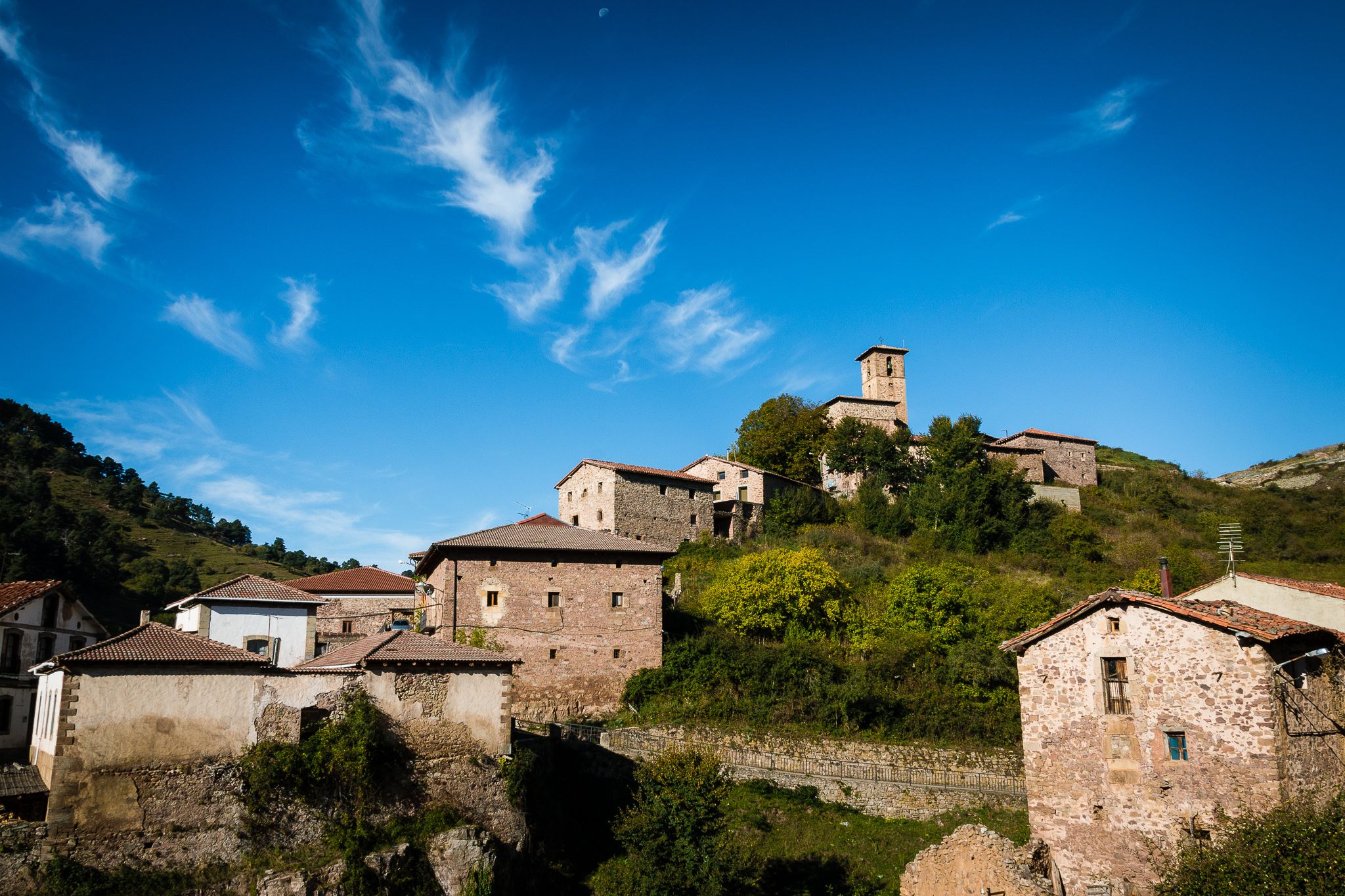
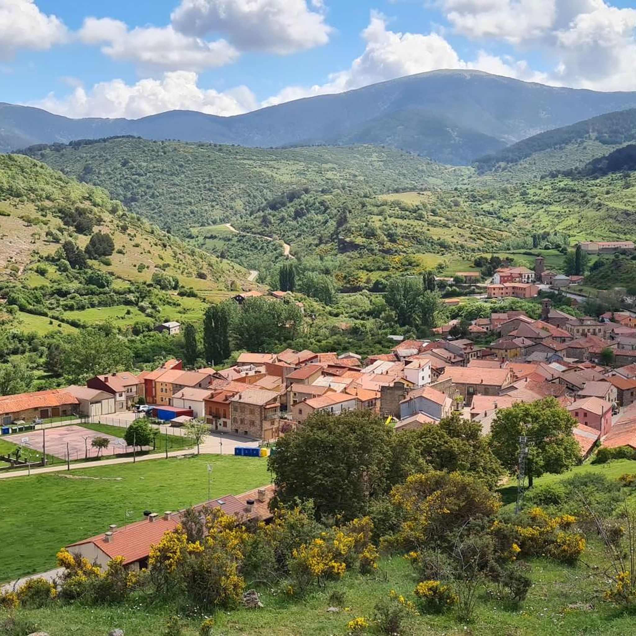
Hiking around Canales De La Sierra offers access to the mountainous terrain of the Sierra de la Demanda, characterized by its elevated passes, peaks, and forested areas. The landscape includes a mix of open ridgelines and sheltered valleys, providing diverse environments for outdoor exploration. Trails often feature significant elevation changes, leading through natural spaces with varied flora. The region's geography supports a range of hiking experiences, from moderate ascents to more challenging routes.
Best hiking trails around Canales De La Sierra
- The most popular hiking route is Collado Ormazabal, Cabeza Parda, Collado de Beneguerra – circular route, a 7.8 miles (12.6 km) trail that takes 4 hours 24 minutes to complete. This moderate route features varied terrain and panoramic views from elevated passes.
- Another top favourite among local hikers is Verde Sierra de la Demanda — circular by the Espacio Natural de la Sierra de la Demanda, a moderate 7.5 miles (12.1 km) path. This trail explores the natural park, offering a mix of forest and open landscapes.
- Local hikers also love the View of Valdezcaray – San Lorenzo Summit loop from Estación de esquí de Valdezcaray, a 7.7 miles (12.4 km) trail leading through mountain scenery, often completed in about 4 hours 40 minutes.
- Hiking around Canales De La Sierra is defined by mountain passes, forested slopes, and high-altitude summits. The network offers options for different ability levels, from moderate ascents to more challenging mountain trails.
- The routes in Canales De La Sierra are highly rated by the komoot community with an average score of 4.6 stars from more than 100 reviews. More than 1000 hikers have used komoot to explore Canales De La Sierra's varied terrain.
Last updated: July 4, 2026
4.0
(1)
2
hikers
12.6km
04:24
660m
660m
Moderate hike. Good fitness required. Easily-accessible paths. Suitable for all skill levels.
5.0
(2)
3
hikers
Moderate hike. Good fitness required. Mostly accessible paths. Sure-footedness required.

Sign up for free
4.3
(7)
80
hikers
Hard hike. Very good fitness required. Easily-accessible paths. Suitable for all skill levels.
4.5
(2)
27
hikers
14.3km
04:36
620m
620m
Moderate hike. Good fitness required. Easily-accessible paths. Suitable for all skill levels.
4.0
(1)
23
hikers
16.4km
05:59
1,010m
1,010m
Hard hike. Very good fitness required. Easily-accessible paths. Suitable for all skill levels.
Get access to more routes and recommendations from other explorers.
Sign up for free
Already have an account?
Our route recommendations are based on thousands of hikes, rides, and runs completed by other people on komoot.
Start today with a free account
Your next adventure awaits.
Login or Signup
Other adventures around Canales De La Sierra

Tips from the Community

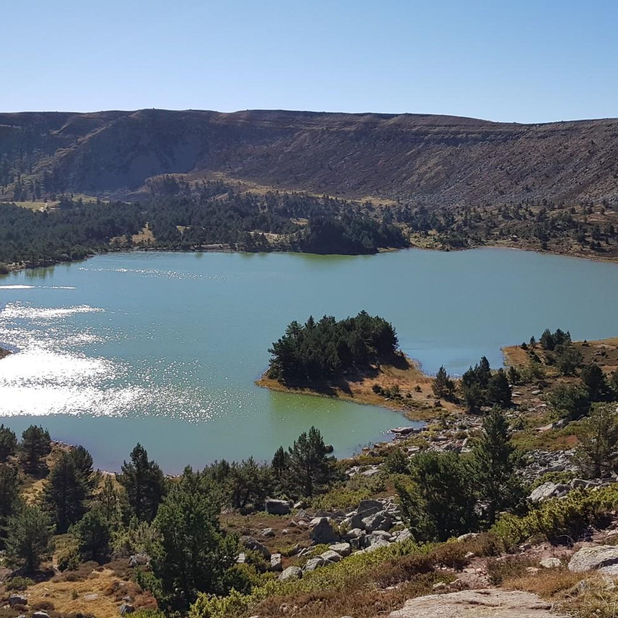
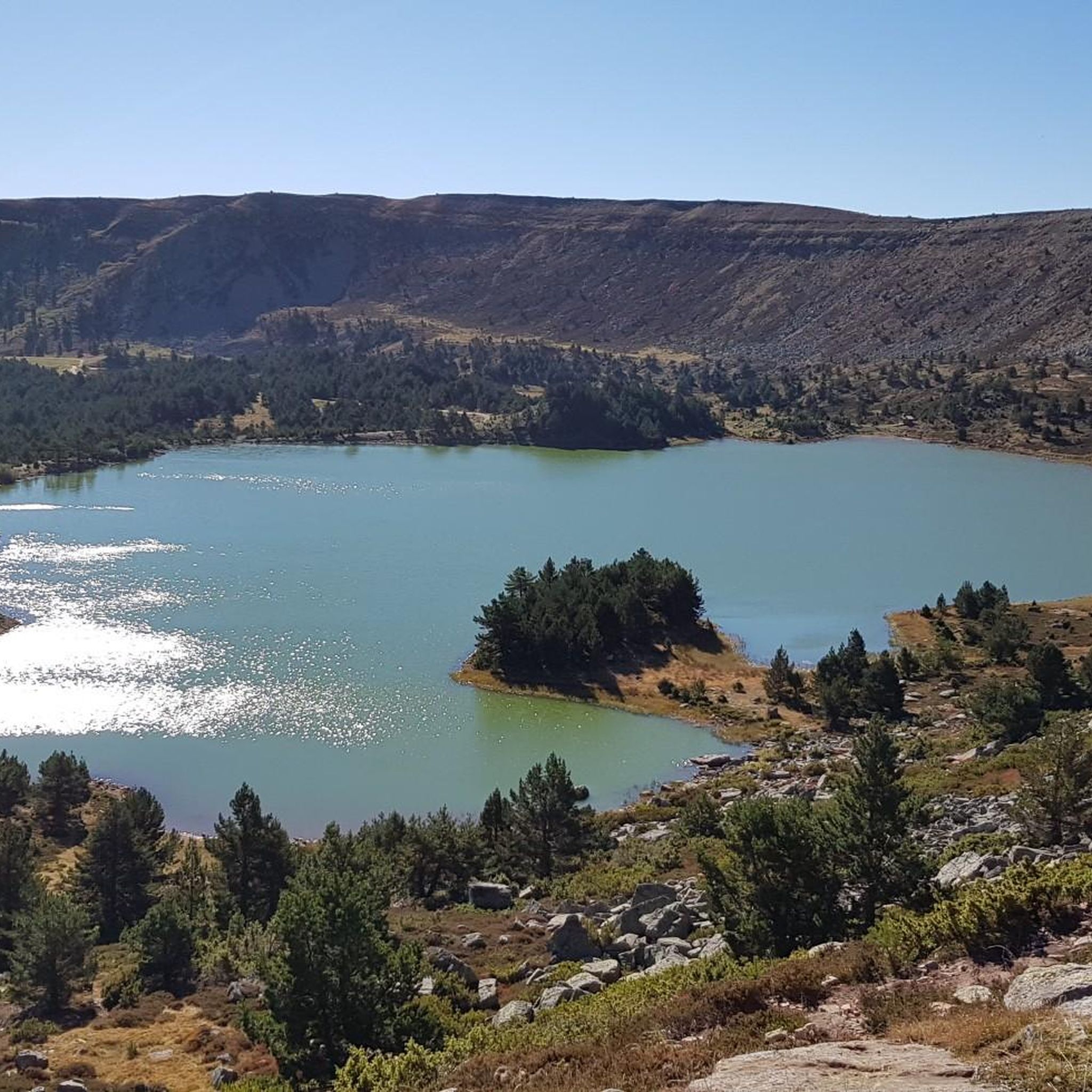
Pozo Negro is a glacial lake located at an altitude of 1,760 meters in the Sierra de la Demanda, within the Fresneda area of the Sierra Tirón. It is an isolated and difficult-to-access spot, making it a very attractive spot for hikers seeking unspoiled nature. Its cold, dark waters, protected by Otero Peak, are the source of the Tirón River and are home to unique species such as the endemic palmate newt. The route to the lake, from the Tres Aguas refuge, takes more than three hours, passing through beech forests and high mountain areas. Therefore, it is advisable to wear good footwear, and bring plenty of food and water.
2
0

Great stop on the climb to San Lorenzo!
0
0

The route is easy to find, follow the yellow+white stripes. Tough climbs long after each other.
0
0

Visit to the ancient yew tree.
0
0

Frequently Asked Questions
How many hiking trails are available around Canales De La Sierra?
There are over 40 hiking routes in the Canales De La Sierra area, catering to various skill levels. You'll find a good mix of easy, moderate, and challenging trails to explore the mountainous terrain of the Sierra de la Demanda.
Are there easy hiking trails suitable for beginners in Canales De La Sierra?
Yes, Canales De La Sierra offers 7 easy hiking trails perfect for beginners or those looking for a relaxed walk. These routes typically feature less elevation gain and shorter distances, allowing you to enjoy the scenery without significant physical exertion.
What is the best time of year to go hiking in Canales De La Sierra?
The best time for hiking in Canales De La Sierra is generally from late spring through early autumn (May to October). During these months, the weather is typically mild and stable, and the trails are clear of snow. Autumn offers beautiful fall foliage, while spring brings blooming wildflowers.
Are there any circular hiking routes in Canales De La Sierra?
Yes, many of the trails in Canales De La Sierra are circular, offering varied scenery without retracing your steps. An example is the Collado Ormazabal, Cabeza Parda, Collado de Beneguerra – circular route, which provides panoramic views from elevated passes.
What kind of natural attractions can I see along the hiking trails?
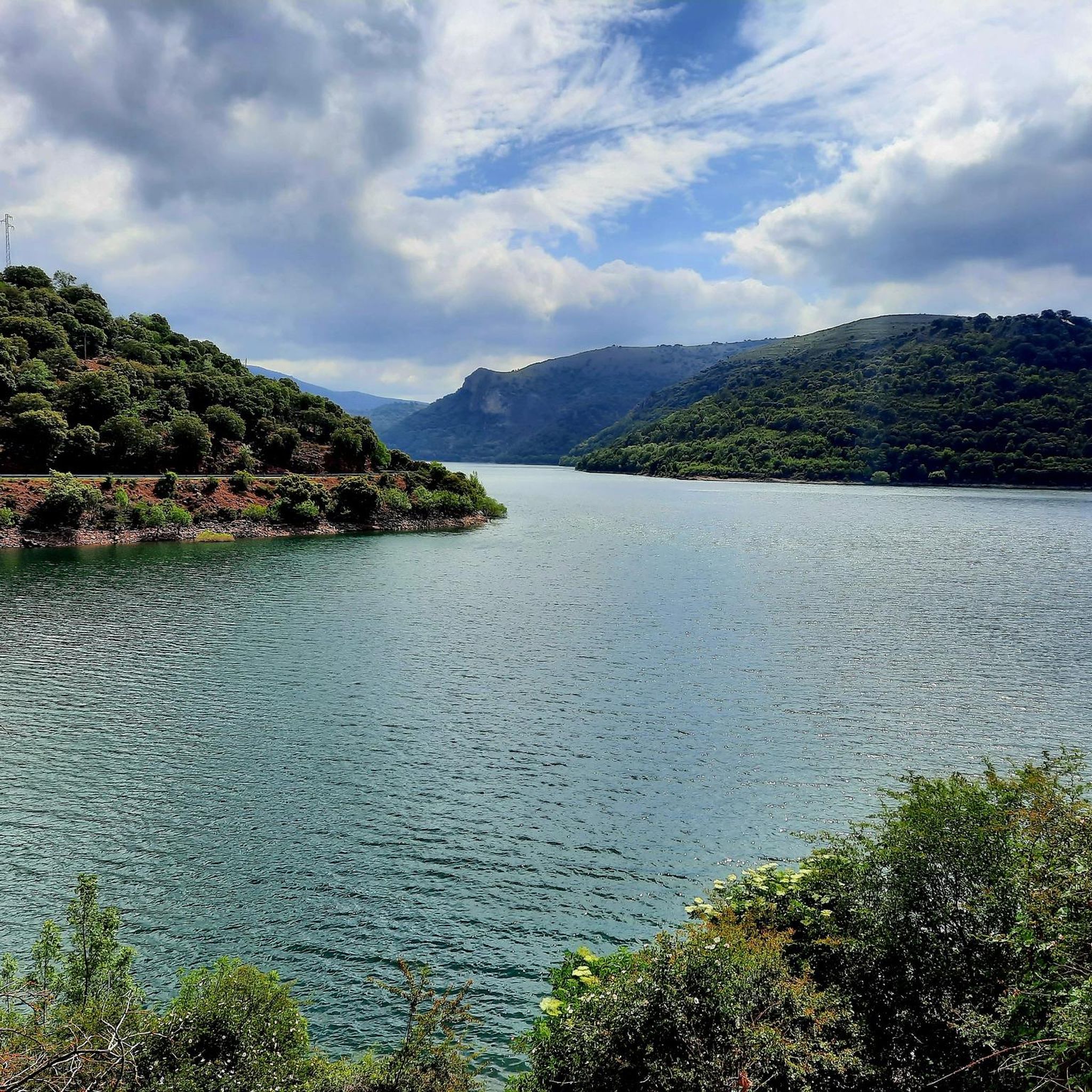
The region around Canales De La Sierra is rich in natural beauty. You can explore various natural monuments and lakes. Notable highlights include the serene Neila Lagoons, the impressive Mansilla Reservoir, and several mountain passes like Puerto del Manquillo. Some trails also lead to summits such as San Millán (2,131 m).
Are there any trails that feature waterfalls?
Yes, for those seeking waterfalls, the Pozo Negro Lagoon – Chapatales Waterfall loop from Refugio Forestal Tres Aguas is a challenging route that includes the Chapatales Waterfall. This trail also visits the picturesque Pozo Negro Lagoon.
Is Canales De La Sierra suitable for family-friendly hikes?
While many trails involve significant elevation changes, there are easier routes that families can enjoy. Look for trails marked as 'easy' in the komoot guide, which are generally shorter and have gentler gradients, making them more suitable for children.
Can I bring my dog on the hiking trails in Canales De La Sierra?
Generally, dogs are welcome on hiking trails in the Sierra de la Demanda. However, it's always advisable to keep your dog on a leash, especially in areas with livestock or protected wildlife. Be sure to check specific trail regulations, particularly within natural parks or reserves, for any restrictions.
What do other hikers enjoy most about hiking in Canales De La Sierra?
The area is highly rated by the komoot community, with an average score of 4.6 stars from over 130 reviews. Hikers often praise the diverse mountainous terrain, the panoramic views from elevated passes, and the mix of forested and open landscapes. The region's natural beauty and varied routes are frequently highlighted.
Are there opportunities for wildlife spotting during hikes?
The Sierra de la Demanda, where Canales De La Sierra is located, is known for its diverse wildlife. Hikers may spot various bird species, deer, and occasionally wild boar. Early mornings or late afternoons are often the best times for wildlife viewing, especially in quieter, forested areas.
Is parking available at the trailheads in Canales De La Sierra?
Parking availability varies by trailhead. Many popular starting points, especially those near villages or natural attractions, offer designated parking areas. For more remote trails, roadside parking might be an option. It's recommended to check the route details on komoot for specific parking information before you go.
Are there any permits required for hiking in Canales De La Sierra?
For general hiking on established trails in Canales De La Sierra, permits are typically not required. However, if you plan to access specific protected areas, private lands, or engage in activities like camping, it's always best to check with local authorities or park management for any specific regulations or permit requirements.
Most popular routes around Canales De La Sierra
Most popular attractions around Canales De La Sierra

Get inspired with the komoot mobile app


Explore more
Browse the best Hikes in other regions.
