The 5 Most Amazing Peaks around Matallana De Torío
Mountain peaks around Matallana De Torío, located north of León, Spain, offer diverse outdoor experiences. The region is characterized by rugged mountain terrain, limestone formations, and several valleys converging with the Torío River. Historical elements, such as ancient Roman bridges and remnants of its mining past, add to the area's appeal. This landscape provides opportunities for hiking and exploring elevated areas with extensive views.
Best mountain peaks around Matallana De Torío
- The most popular mountain peak is Pico Fontañán Summit…
Last updated: August 23, 2026
Pico Fontañán Summit (1,634 m)
Highlight • Summit
Translated by Google •
Tip by

Cruz de Fontañán
Highlight • Summit
Translated by Google •
Tip by
Sign up now to discover places like this
Get recommendations on the best single tracks, peaks, & plenty of other exciting outdoor places.
Sign up for free
Polvoredo
Highlight • Summit
Translated by Google •
Tip by

Peña Grande
Highlight • Summit
Translated by Google •
Tip by
Start today with a free account
Your next adventure awaits.
Login or Signup
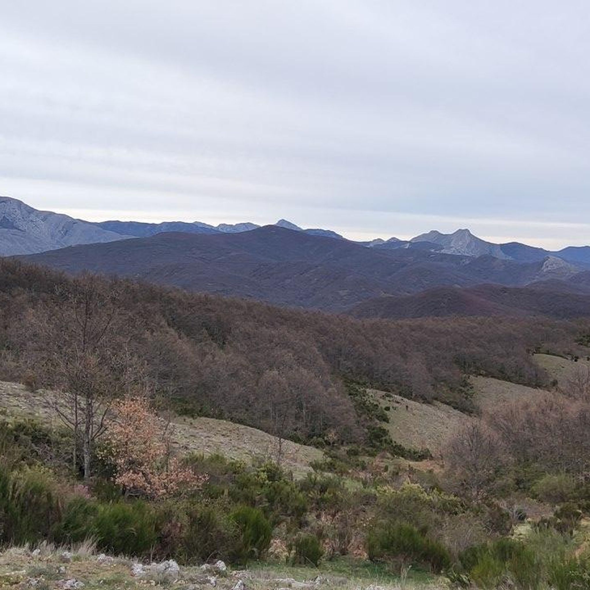
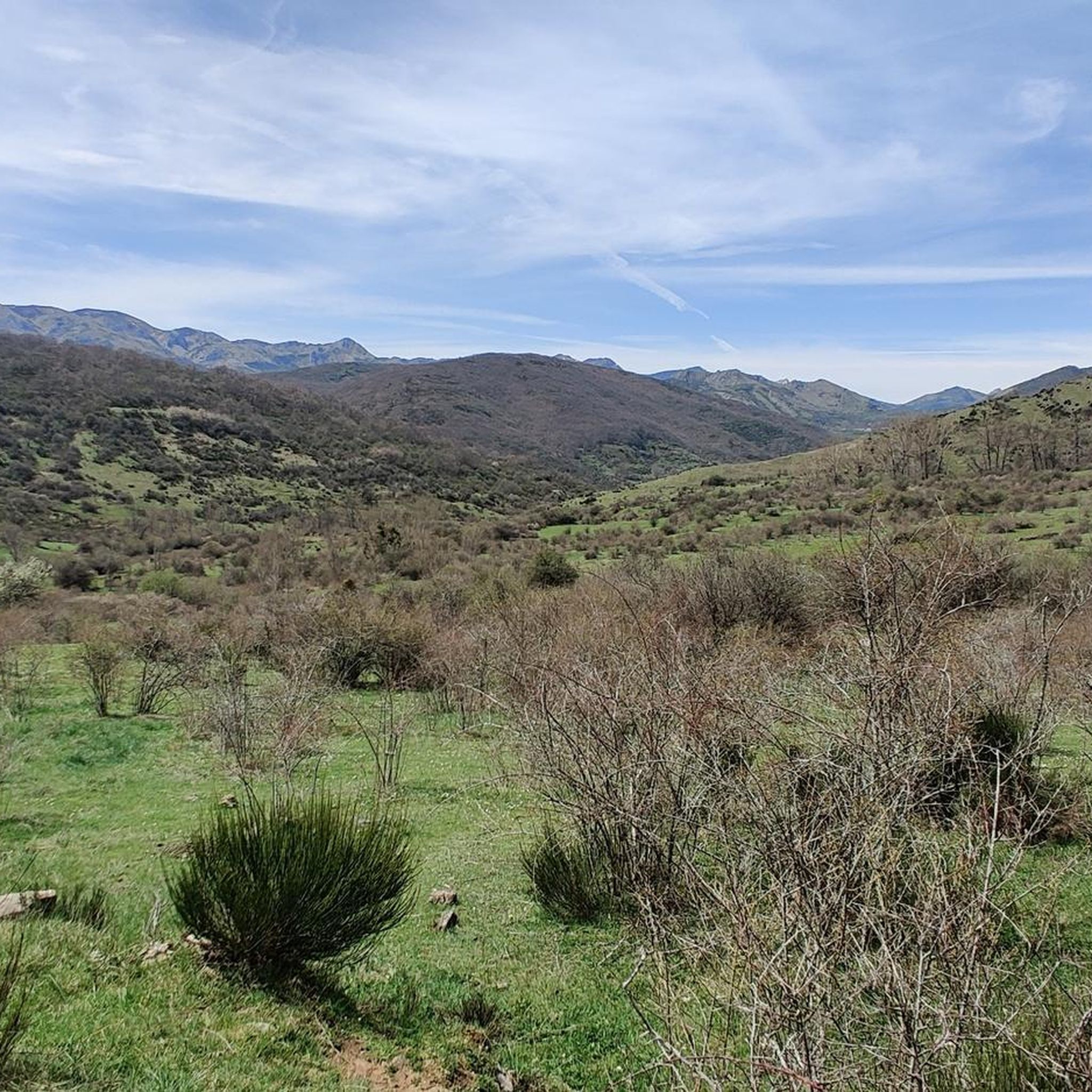
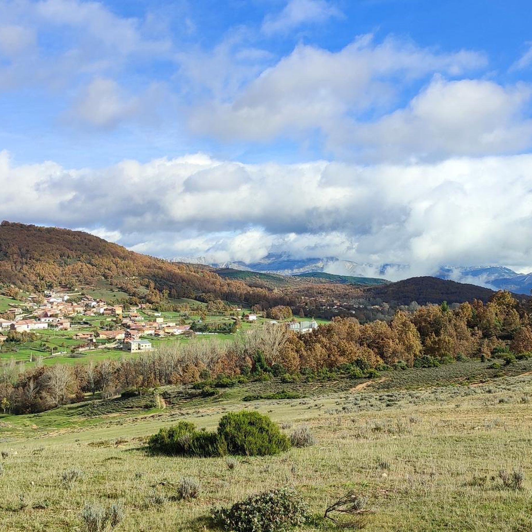
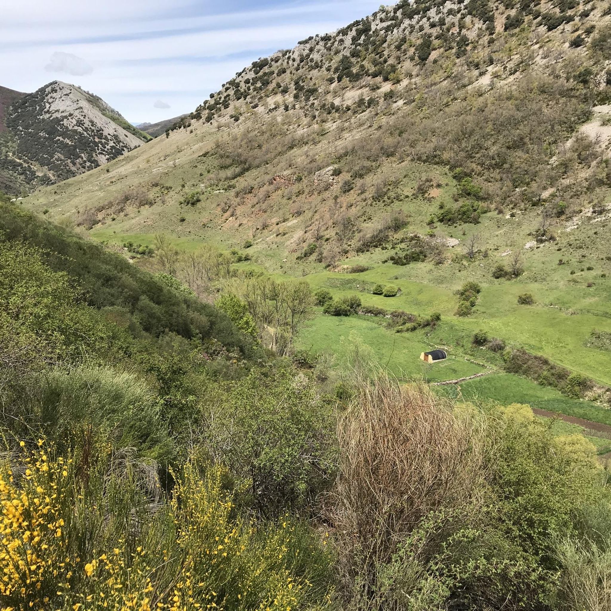
Tips from the Community

Polvoredo (2007 m) is the closest peak to the city of León above 2000 meters high. Going up from Vegacervera you will gain more than 1000 meters of elevation gain in just 7 kilometers, so get ready for a demanding climb. The climb is constant and with slopes up to almost 40%, which makes the descent along the same path difficult if you are not used to intense hiking. But you can be sure that the effort is worth it - the views are impressive, from the top you can see its neighbor Peña Galicia and all along the way we see the towns of Villalfeide, Coladilla, Vegacervera and Villar del Puerto.
3
0

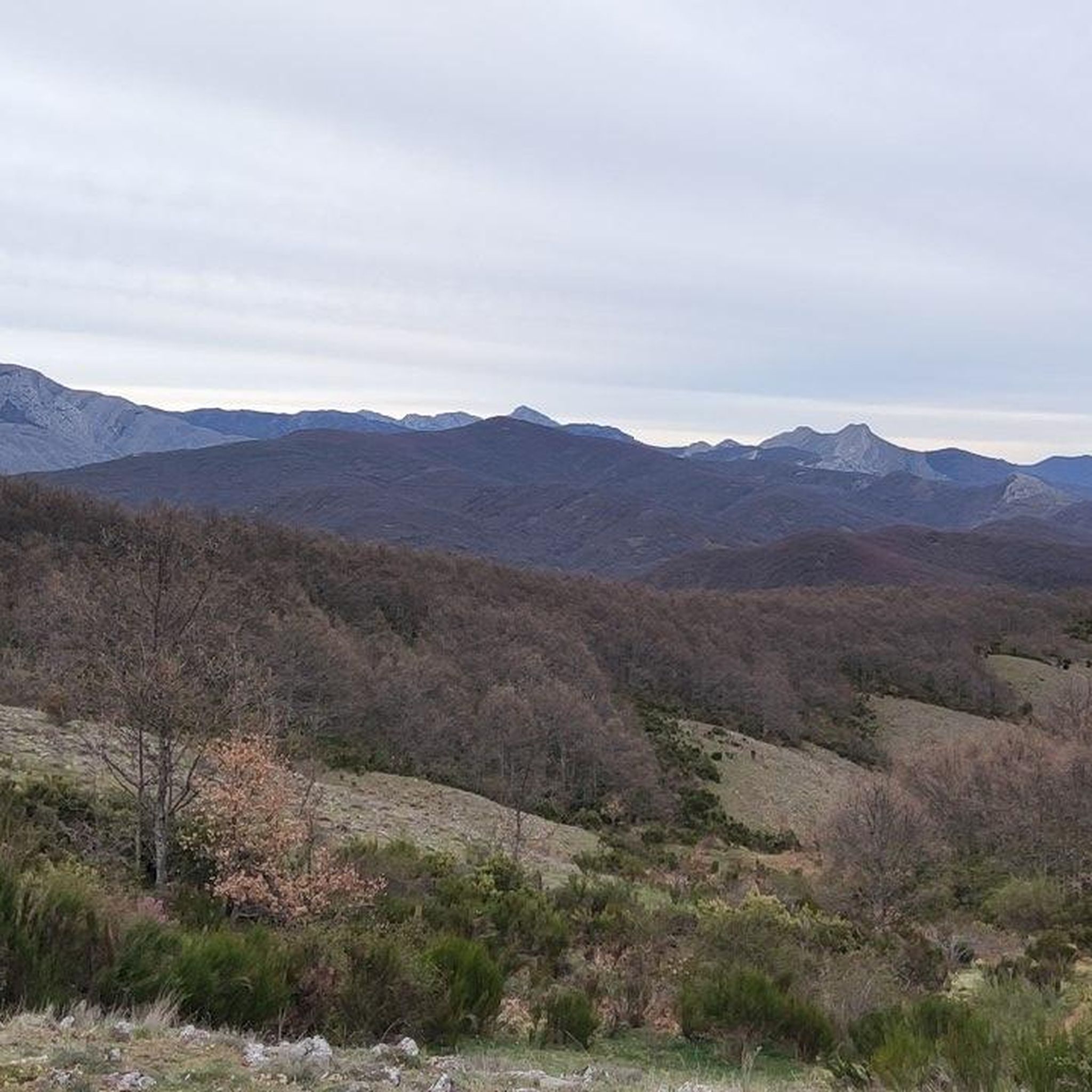
From the top of Peña Grande, located at 1,452 meters above sea level, we have wonderful views to the south where the Peña de Machamedio stands out.
1
1
From the Peña Grande, located at 1,452 meters above sea level, we have wonderful views to the south where the Peña de Machamedio stands out.
2
0
At this point we are on the other top of Mount Fontañán. From here you can see the other peak. Apart from some splendid views, around the Cruz de Fontañán we will see trenches, machine gun nests and tunnels used during the Spanish Civil War.
5
0
The summit of Pico Fontañán, located at an altitude of 1,634 meters, is one of the most mythical in the province of León. It offers us wonderful views of the valley and mountains that surround us. It is worth taking a walk around the surroundings to see trenches, tunnels and machine gun nests from the Spanish Civil War.
1
0
Frequently Asked Questions
What are some of the most prominent mountain peaks to explore around Matallana De Torío?
The region offers several significant peaks. Polvoredo, at 2007 meters, is the closest 2000-meter peak to León and provides impressive panoramic views. Pico Fontañán Summit (1,634 m) and Cruz de Fontañán are also popular, known for their views and historical significance.
Are there any challenging climbs for experienced hikers in the Matallana De Torío area?
Yes, Polvoredo offers a demanding ascent, especially if you start from Vegacervera, where you can gain over 1000 meters of elevation in just 7 kilometers. This route features constant climbs with slopes up to almost 40%.
What kind of views can I expect from the mountain peaks in this region?
From peaks like Polvoredo, you can enjoy extensive panoramic views of the entire Leonese mountain range. On clear days, it's even possible to see the cathedral of León to the south and major peaks of the Cantabrian Mountains to the north. Pico Fontañán Summit and Peña Grande also offer wonderful views of the valleys and surrounding mountains.
Are there historical sites or features on the mountain peaks around Matallana De Torío?
Yes, several peaks have historical significance. Both Pico Fontañán Summit (1,634 m) and Cruz de Fontañán feature remnants from the Spanish Civil War, including trenches, tunnels, and machine gun nests that you can explore.
What outdoor activities can I do near these mountain peaks?
Beyond peak bagging, the area offers diverse outdoor activities. You can find numerous hiking trails, including the challenging 'Ascent to Polvoredo from Vegacervera' or the moderate 'Mina Bardaya Greenway'. There are also road cycling and general cycling routes available. For more details, explore the Hiking around Matallana De Torío, Road Cycling Routes around Matallana De Torío, and Cycling around Matallana De Torío guides.
Are there any easy or moderate mountain walks suitable for a wider range of fitness levels?
While some peaks are challenging, there are also more accessible options. For instance, the 'Mina Bardaya Greenway' is a moderate hiking route. Additionally, the 'ExoKarst Route - circular through Valporquero de Torío' and 'Faedo de Ciñera – Ciñera Beech Forest loop' are listed as easy hiking routes in the nearby area, offering beautiful natural experiences without extreme difficulty.
What is the best time of year to hike the mountain peaks around Matallana De Torío?
The spring and autumn months generally offer the most pleasant conditions for hiking, with milder temperatures and vibrant natural scenery. Spring brings lush greenery, especially in valleys like Valle de Santiago, while autumn showcases beautiful fall colors. Summer can be warm, and winter may bring snow and more challenging conditions, particularly on higher peaks like Polvoredo.
Can I find any viewpoints that offer extensive vistas without a full summit climb?
Yes, the 'Mirador de Polvoreda' is specifically highlighted as an excellent natural observatory for extensive views of the Leonese mountain range. The 'Mirador de Serrilla' also serves as a starting point for trails and offers panoramic vistas of the surrounding valleys, including Coladilla and Vegacervera.
What natural features characterize the mountain landscape of Matallana De Torío?
The region is defined by rugged mountain terrain, tormented limestone formations, and several valleys that converge with the Torío River. You'll encounter diverse landscapes, from well-defined paths to areas with dolines (sinkholes), and beautiful oak tree areas.
Are there any specific routes that lead to Pico Polvoreda?
Yes, various routes lead to Pico Polvoreda. A common and relatively direct ascent starts from Villalfeide, following an old mining path. More experienced hikers can explore alpine paths like the Camino de Las Campas, or take on the challenging 'Kilómetro Vertical' route, also from Villalfeide.
What do visitors appreciate most about the mountain peaks in Matallana De Torío?
Visitors highly value the impressive panoramic views from the summits, the historical significance of sites like Pico Fontañán with its Civil War remnants, and the diverse hiking opportunities ranging from intermediate to challenging climbs. The natural beauty of the rugged terrain and valleys also receives strong appreciation.
Most popular routes around Matallana De Torío
Most popular attractions around Matallana De Torío

Get inspired with the komoot mobile app


Explore more
See even more amazing summits around Matallana De Torío with these guides:
