The best running trails around Alustante
5.0
(3)
563
runners
36
runs
Jogging around Alustante offers an exceptional setting for outdoor activities, characterized by its high-altitude location within the Sierra de Molina and varied landscapes. The region features significant elevations, including peaks over 1,700 meters, and extensive pine and oak forests. Its proximity to the Alto Tajo Natural Park provides access to a vast network of trails, while unique red sandstone formations near Chequilla add visual interest. These natural features create a challenging and rewarding environment for runners.
Best jogging routes around…
Last updated: August 21, 2026
144
runners
29.0km
04:14
1,220m
1,210m
Hard run. Very good fitness required. Mostly paved surfaces. Suitable for all skill levels.
111
runners
22.4km
03:07
870m
870m
Hard run. Very good fitness required. Mostly paved surfaces. Suitable for all skill levels.

Sign up for free
87
runners
39.5km
05:41
1,440m
1,440m
Hard run. Very good fitness required. Sure-footedness, sturdy shoes and alpine experience required.
41
runners
12.8km
01:49
520m
520m
Hard run. Very good fitness required. Sure-footedness, sturdy shoes and alpine experience required.
23
runners
Hard run. Very good fitness required. Sure-footedness, sturdy shoes and alpine experience required.
Get access to more routes and recommendations from other explorers.
Sign up for free
Already have an account?
Our route recommendations are based on thousands of hikes, rides, and runs completed by other people on komoot.
Start today with a free account
Your next adventure awaits.
Login or Signup
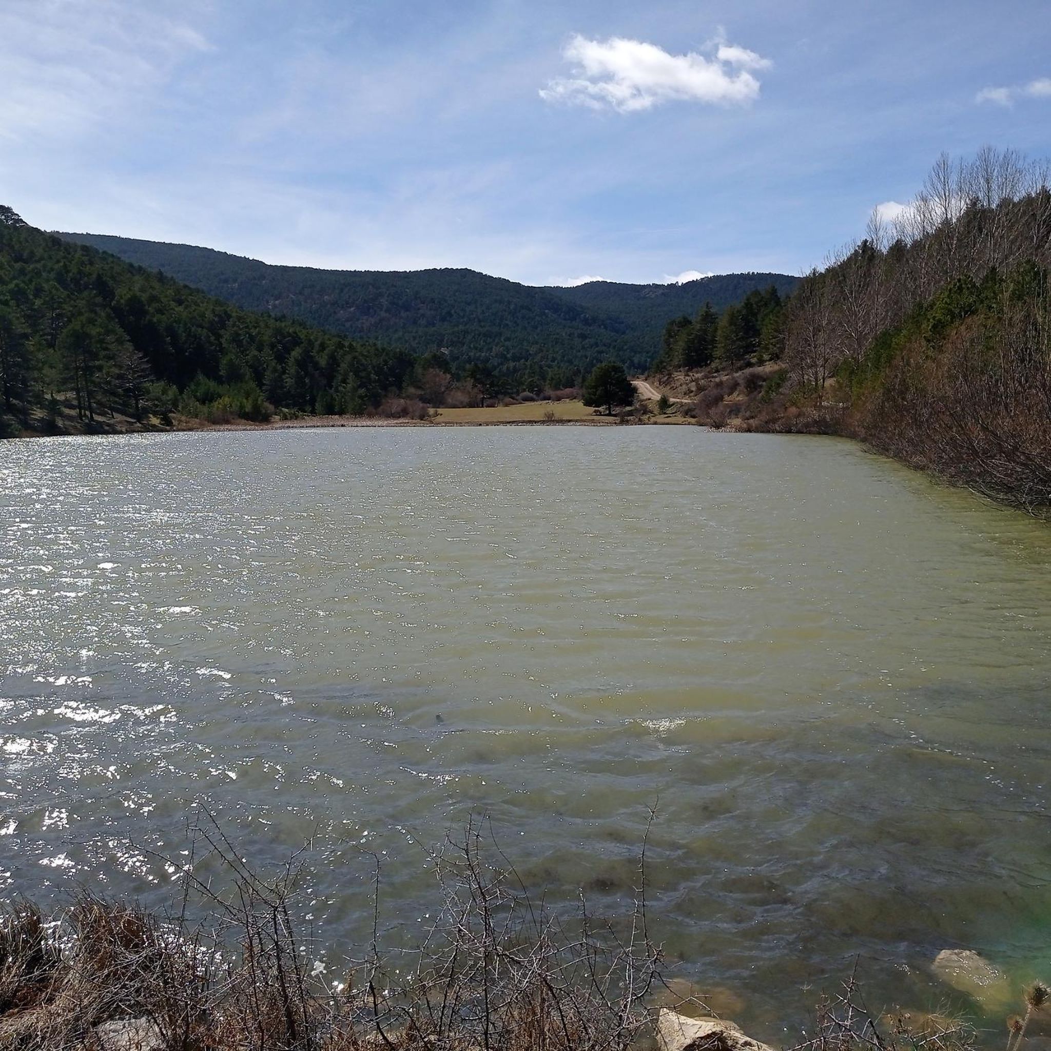
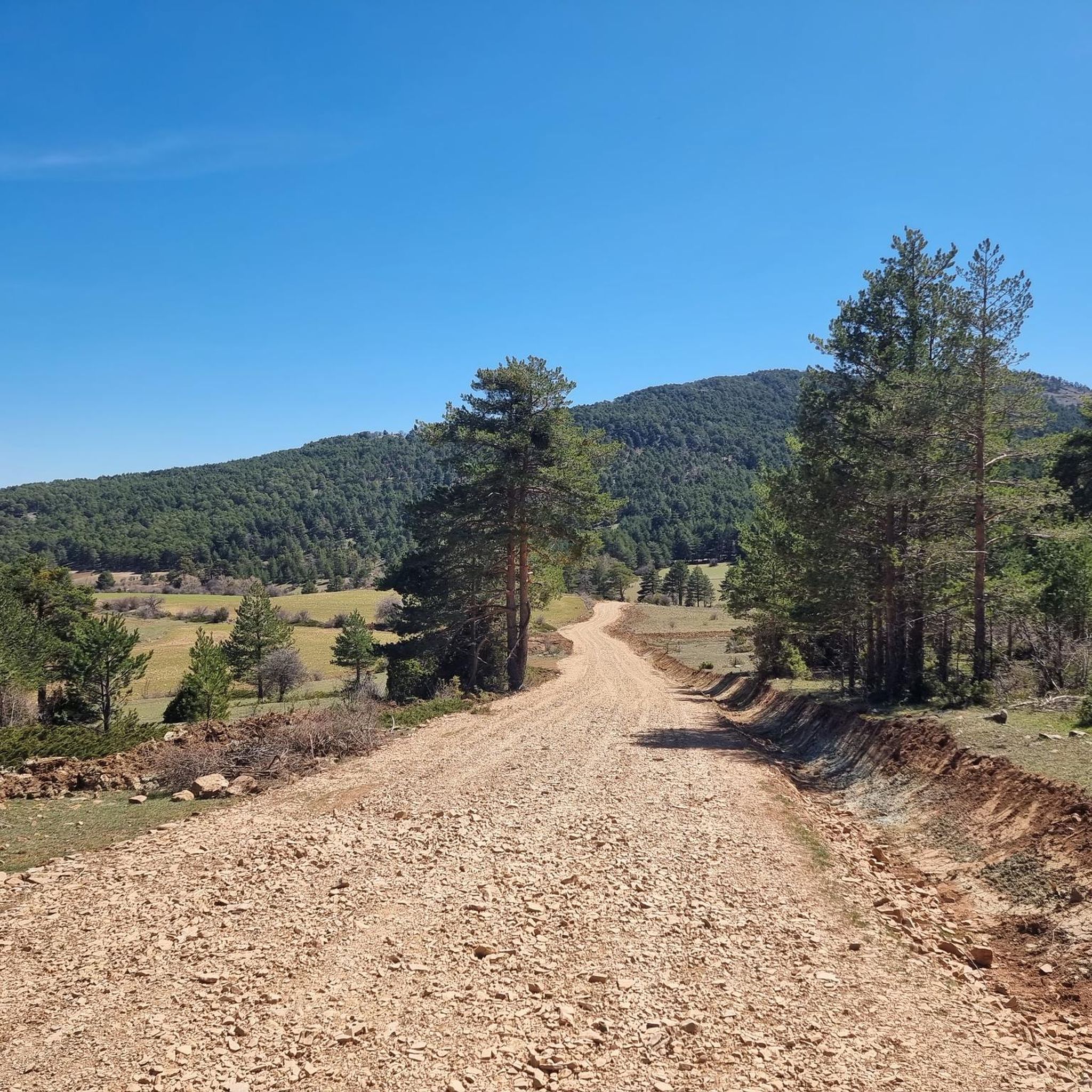
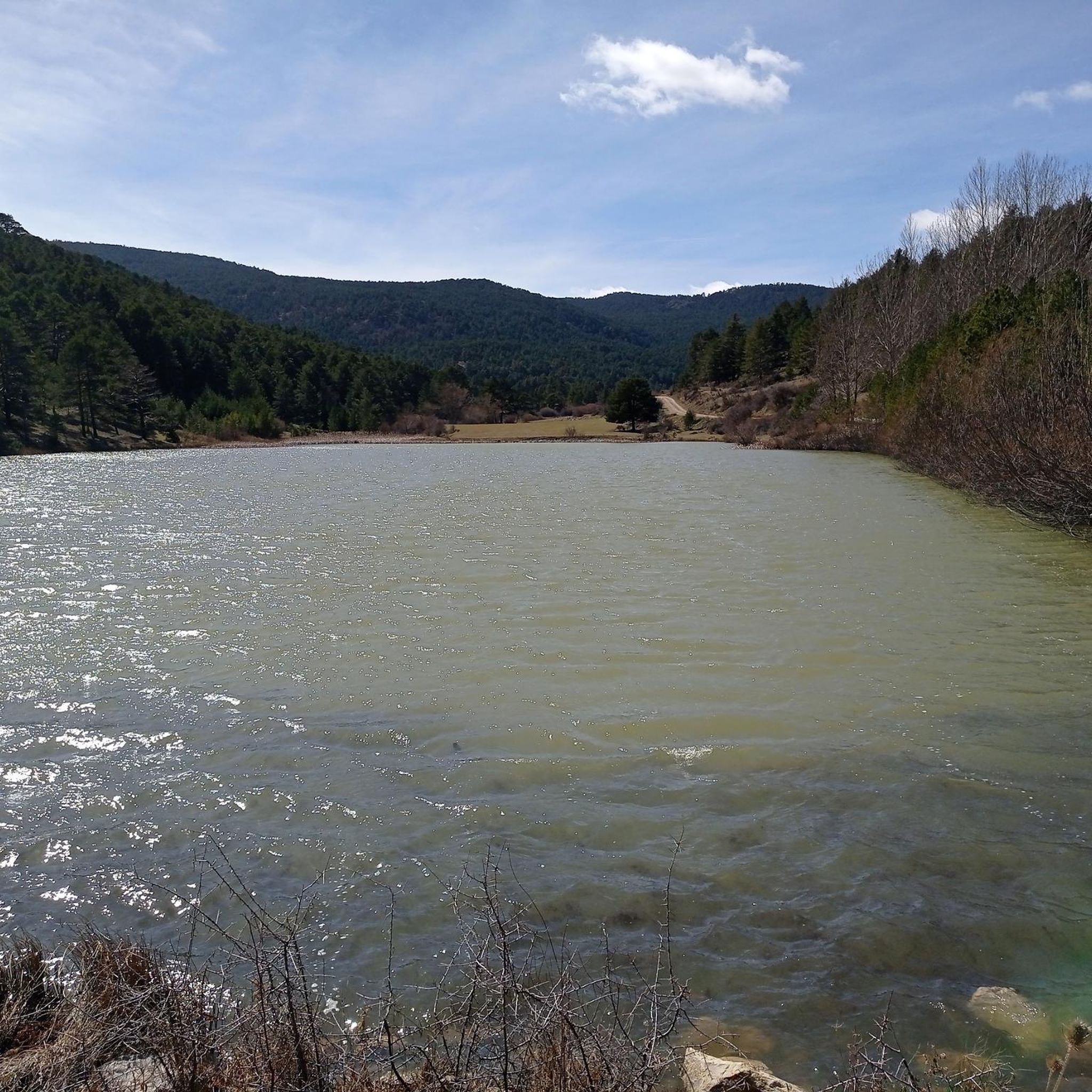

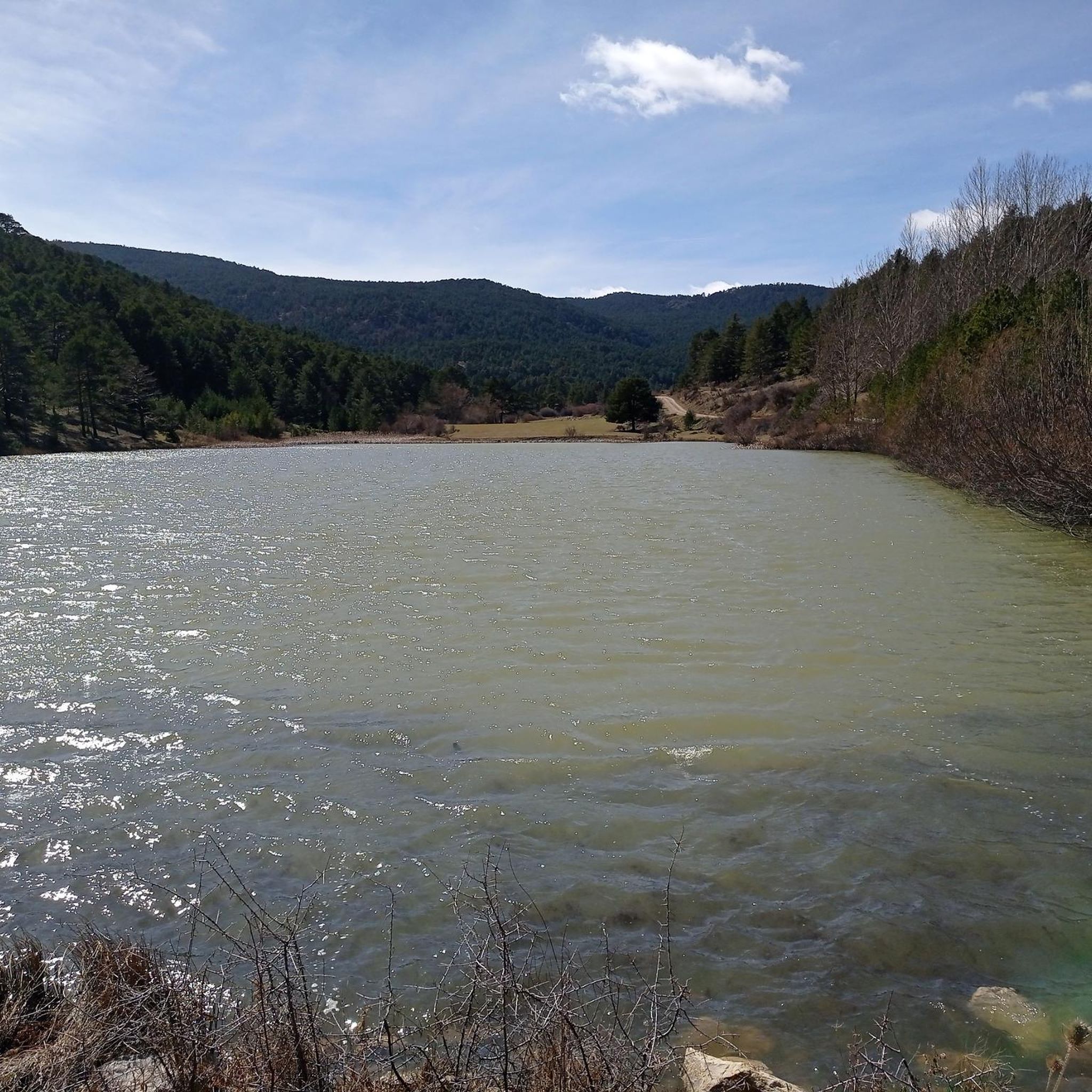
Tips from the Community

Ideal place to relax for a while, refill water and contemplate the surrounding nature
0
0

The Enchanted Forest Fountain of Little Witch Brigitta in Bronchales is one of the highlights of the route to this magical corner of the Sierra de Albarracín. It's located on the access road to the Enchanted Forest, about 1.6 km from the town park, just before reaching the fenced area where the magical figures are located.
4
0
The Mirador de la Sierra Alta in Noguera de Albarracín is one of the most spectacular spots in the Sierra de Albarracín, ideal for nature lovers, photographers, and hikers. It is located approximately 1,854 meters above sea level, making it one of the highest points in the area.
4
0
Orihuela del Tremedal has its roots in medieval times. It is believed that the town was founded in the 12th century, during the Reconquista, when Christians recovered territories from the Muslims.
14
0

a great place of peace and security
0
0

refuge with better conditions than the rest
0
0


Frequently Asked Questions
What kind of terrain can I expect on running trails around Alustante?
Running routes in Alustante are characterized by significant elevation changes, mountainous terrain, and extensive pine and oak forests. You'll find varied inclines and breathtaking panoramic views, especially on trails leading to high points like the Peak of Valdefuentes or Alto de las Neveras. The region's proximity to the Alto Tajo Natural Park also means access to a vast network of diverse trails, including those with unique red sandstone formations near Chequilla.
Are there any easy or beginner-friendly running routes in Alustante?
While many routes in Alustante are rated as difficult due to significant elevation gain, the overall network offers options for different ability levels. The guide indicates 5 moderate routes out of 20 total. For a less strenuous experience, look for paths that stick to lower elevations or forest tracks rather than summit ascents. Always check the route details for elevation profiles before heading out.
What are some scenic highlights or landmarks I can see while jogging in Alustante?
Alustante's running routes offer stunning natural beauty. You can encounter unique red sandstone rock formations, often called 'Las Torres de Chequilla', near the village of Chequilla. Many trails also lead to impressive high points like the Sierra Alta Summit, providing panoramic views. The region is also rich in diverse woodlands, featuring Scots pine and various oak species, creating tranquil, shaded trails.
Are there any circular running routes available in the Alustante area?
Yes, many of the running routes around Alustante are designed as loops. For example, the Bronchales Town Center – Sierra Alta Summit loop from Bronchales and the Orihuela del Tremedal loop from Orihuela del Tremedal are popular circular options, allowing you to start and finish in the same location.
What is the best time of year to go running in Alustante?
Alustante offers distinct seasonal experiences. Summers are typically dry and hot, which can be ideal for early morning or late afternoon runs in shaded forest areas. Winters are cold and wet, potentially offering challenging conditions for experienced trail runners. Spring and autumn generally provide milder temperatures and beautiful scenery, making them excellent times for exploring the trails.
Is Alustante suitable for family-friendly running or walks?
While many routes involve significant elevation, the diverse landscape means there are likely flatter sections or shorter paths suitable for families. When planning a family outing, look for routes described as 'moderate' or those that stick to forest tracks rather than steep mountain ascents. Always check the distance and elevation gain to ensure it matches your family's fitness level.
Are dogs allowed on the running trails around Alustante?
The region around Alustante, including the Alto Tajo Natural Park, is generally welcoming to dogs, but specific regulations may apply, especially within protected areas. It's always advisable to keep dogs on a leash to protect wildlife and ensure their safety on trails with varied terrain. Check local signage for any specific restrictions.
How many running routes are available in the Alustante region?
There are over 20 dedicated running routes available around Alustante, offering a wide range of distances and difficulty levels. These routes are highly rated by the komoot community, with an average score of 5.0 stars.
What do other runners enjoy most about jogging in Alustante?
The area is highly rated by the komoot community, with an average score of 5.0 stars. Runners often praise the challenging ascents, the tranquility of the dense forests, and the rewarding panoramic views from the high-altitude peaks. The varied terrain and natural beauty make for an invigorating experience.
Are there any specific events or challenges for runners in Alustante?
Yes, Alustante is known for hosting dedicated trail running events such as the 'Alustante Trail,' which offers various distances (7K, 14K, 18K, 24K). There's also the 'Desafío Las 10 Fuentes' (Challenge of the 10 Fountains), highlighting routes that wind through the region's numerous natural springs and fountains.
Is public transport available to reach the running trailheads in Alustante?
Alustante is a rural municipality, and public transport options might be limited. It's generally recommended to have private transportation to access various trailheads conveniently. Check local bus schedules if you plan to rely on public transport, as services may be infrequent, especially to more remote starting points.
Are there places to eat or stay in Alustante after a run?
Alustante, as a municipality, offers local amenities including cafes, pubs, and accommodation options. These can provide a convenient place to refuel and relax after exploring the trails. It's a good idea to check opening hours, especially during off-peak seasons.
Most popular attractions around Alustante

Get inspired with the komoot mobile app


Explore more
Browse the best Running Trails & Routes in other regions.
