The best running trails around South Arran Marine Protected Area
4.0
(8)
486
runners
12
runs
Jogging routes around South Arran Marine Protected Area traverse a diverse landscape, characterized by its coastal setting, sheltered bays, and inland glens. The region features a mix of low-lying paths near the sea and more undulating terrain leading to waterfalls and hills. Elevation gains are generally moderate, with some routes offering more significant climbs.
Best jogging routes around South Arran Marine Protected Area
- The most popular jogging route is Seal Spotting at Lamlash Bay – COAST Discovery Centre loop from…
Last updated: August 22, 2026
5.0
(1)
37
runners
Moderate run. Good fitness required. Mostly paved surfaces. Suitable for all skill levels.
21
runners
5.98km
00:37
50m
50m
Moderate run. Good fitness required. Mostly paved surfaces. Suitable for all skill levels.

Sign up for free
16
runners
9.54km
01:10
260m
260m
Moderate run. Good fitness required. Mostly paved surfaces. Suitable for all skill levels.
21
runners
32.4km
04:41
1,240m
1,240m
Hard run. Very good fitness required. Sure-footedness, sturdy shoes and alpine experience required.
1.0
(1)
10
runners
6.62km
00:43
130m
130m
Moderate run. Good fitness required. Mostly paved surfaces. Suitable for all skill levels.
Get access to more routes and recommendations from other explorers.
Sign up for free
Already have an account?
Our route recommendations are based on thousands of hikes, rides, and runs completed by other people on komoot.
Start today with a free account
Your next adventure awaits.
Login or Signup
Popular around South Arran Marine Protected Area
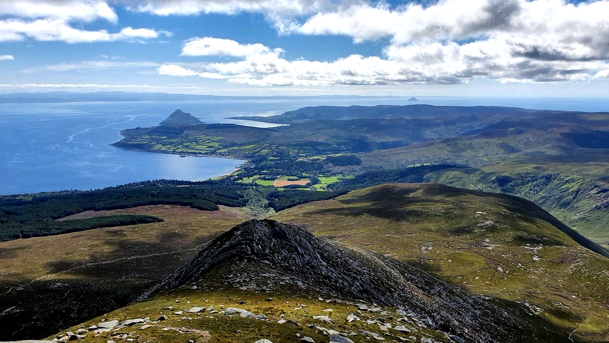
Arran Coastal Way — A breathtaking loop of 'Scotland in miniature'
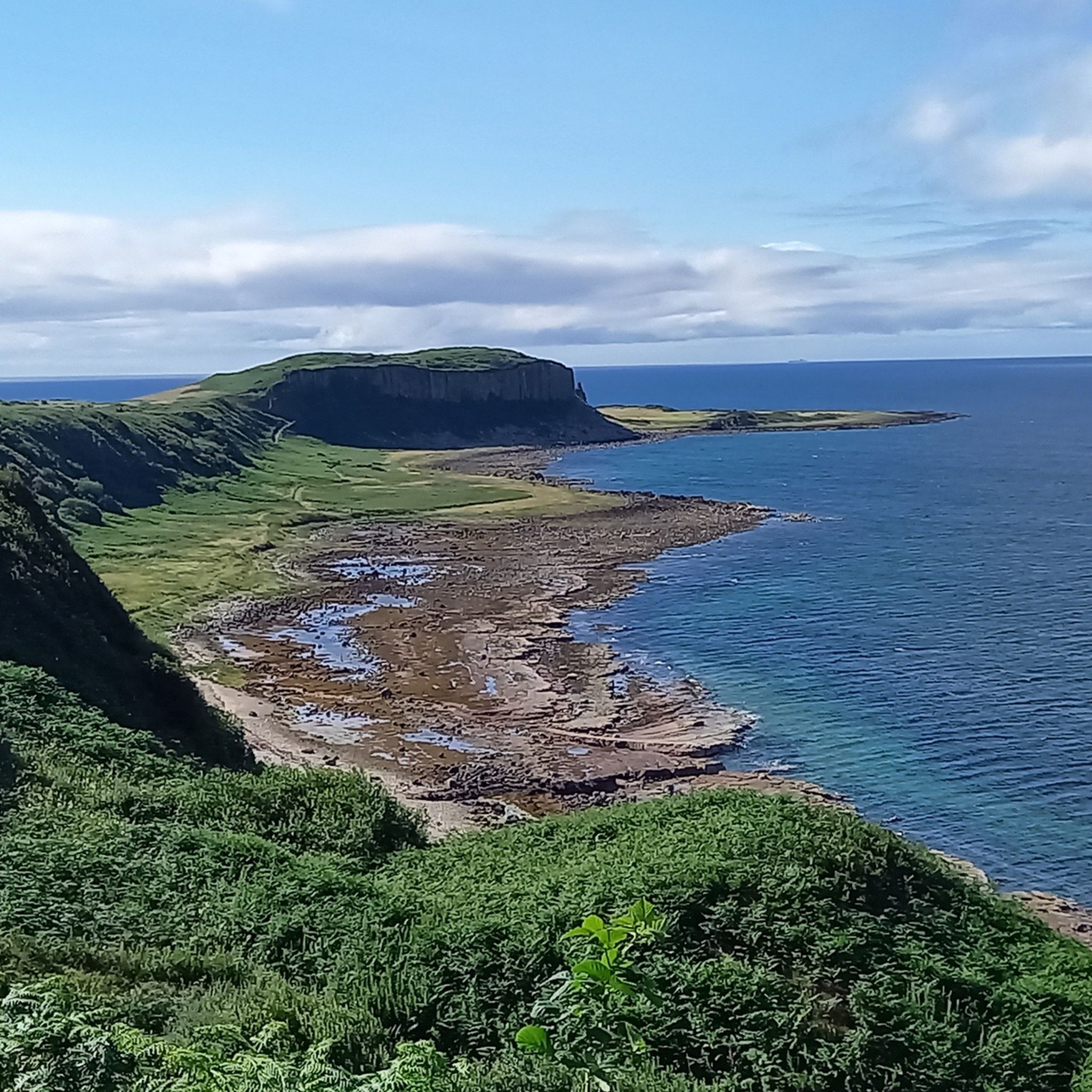
Hiking around South Arran Marine Protected Area
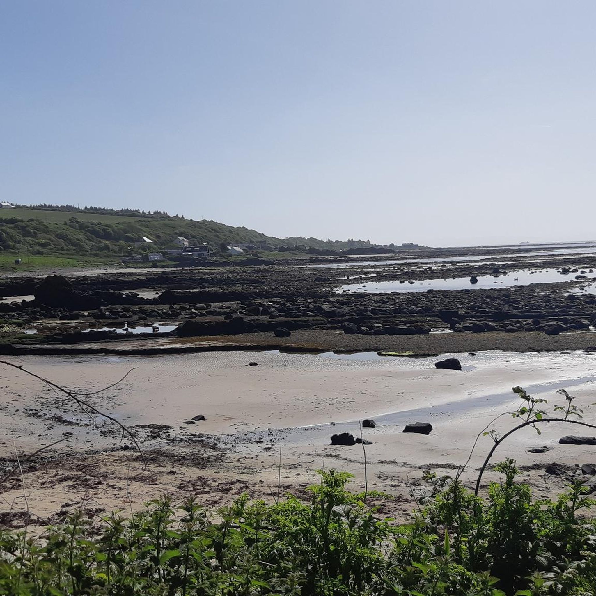
Road Cycling Routes around South Arran Marine Protected Area
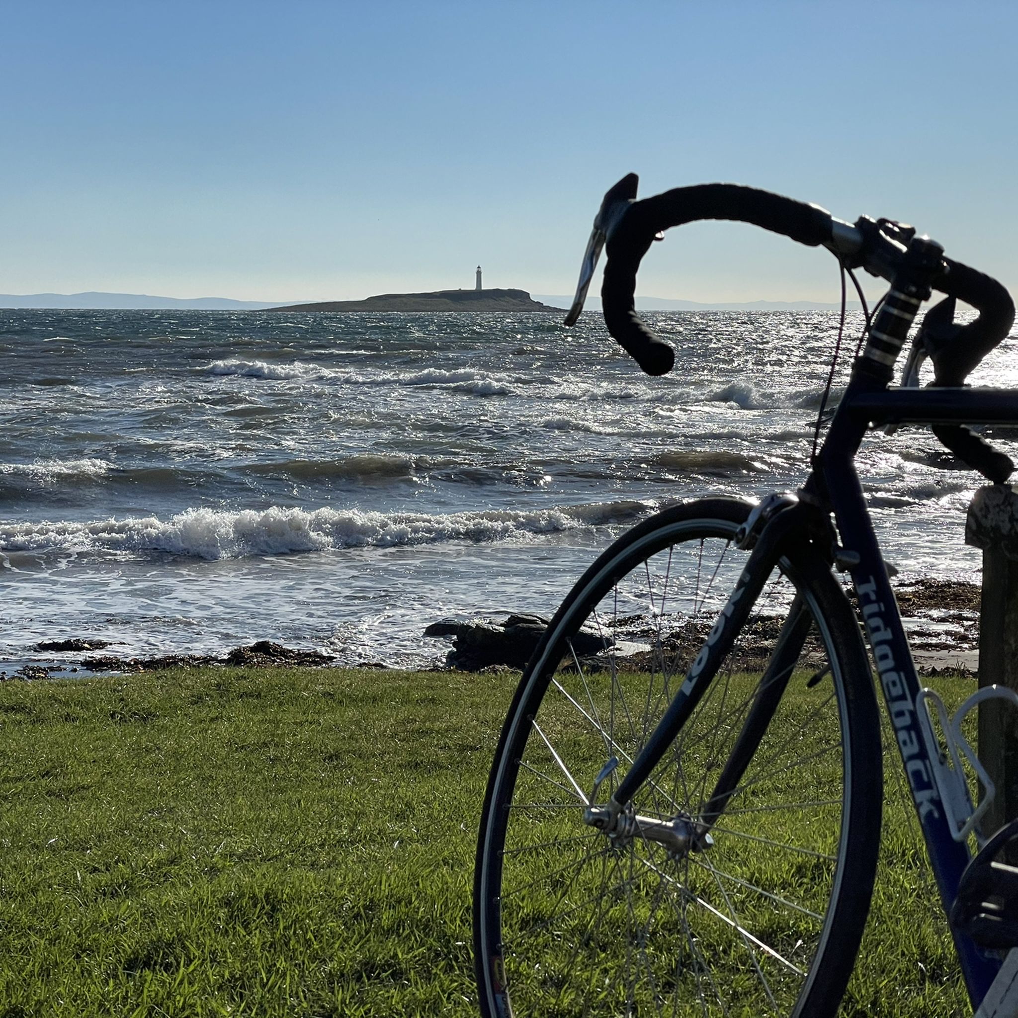
Cycling around South Arran Marine Protected Area
MTB Trails around South Arran Marine Protected Area

Gravel biking around South Arran Marine Protected Area
Other adventures around South Arran Marine Protected Area

Tips from the Community

Brodick Castle and Country Park, owned by NTS, is a fabulous place to explore, whether on foot or on bike - there are more route choices on foot. Beautiful views, towering Redwood trees, glorious green lush foliage and interesting wildlife are all there to be enjoyed in passing through.
0
0

Ailsa Craig looms on the horizon, far out to sea beyond Pladda Island.
0
0
Pladda Island with it's distinctive lighthouse is just off shore from Kildonan. Further out in the distance is the giant cone of Ailsa Craig.
0
0
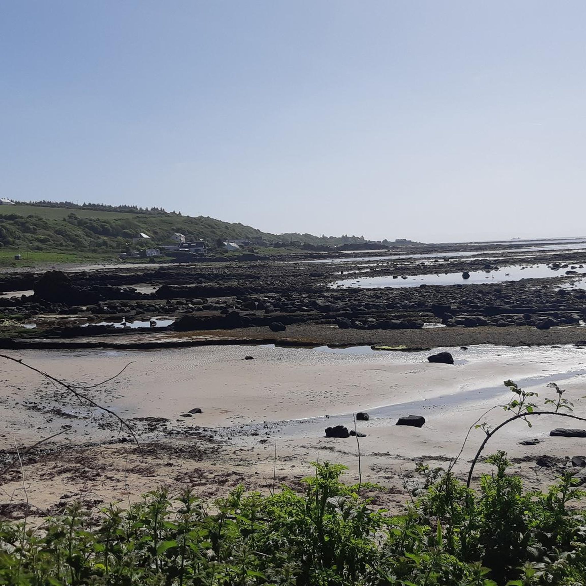
One of the best beaches on Arran, with plenty of scenery, sand and geology!
0
0
Eas a' Chrannaig is the biggest and best waterfall on Arran.
0
0

The start and finish of the Arran Coastal Way with a lovely view out to the bay in Brodick
0
0
Pillboxes were used in the world war as lookout points in coastal areas, this one has a great view over Clauchlands Point with views to the Holy Isle. Lots of birds.
0
0
Frequently Asked Questions
How many running routes are available in the South Arran Marine Protected Area?
There are over 10 dedicated running routes available in the South Arran Marine Protected Area, offering a variety of experiences from coastal paths to more challenging inland trails.
Are there any easy or beginner-friendly jogging routes in South Arran?
While most routes are moderate, the region offers paths suitable for beginners, especially those along the coast. These typically feature lower elevation gains and well-maintained surfaces. For example, the Seal Spotting at Lamlash Bay – COAST Discovery Centre loop from Lamlash is a moderate route that provides a gentle introduction to coastal running.
What are some challenging running trails in the South Arran Marine Protected Area?
For runners seeking a challenge, routes venturing into the island's interior offer significant elevation gains. The Goatfell Summit loop from Lamlash is a difficult 32.2 km trail with over 1200 meters of ascent, providing a strenuous workout and panoramic views.
Are there circular jogging routes available in the area?
Yes, many of the running routes in South Arran Marine Protected Area are circular, allowing you to start and finish at the same point. Examples include the popular Wild Camping Spot Glen Rosa loop from Blackwaterfoot and the Glenashdale Falls Platform 2 – Giant's Graves loop from Whiting Bay.
What kind of scenery can I expect along the running routes?
The routes offer diverse scenery, from rugged coastlines and sheltered bays to wooded glens and paths leading to waterfalls and hills. You can enjoy views of the sea, observe marine life, and explore historical sites. The Seal Spotting at Lamlash Bay – COAST Discovery Centre loop from Lamlash, for instance, provides excellent coastal observation opportunities.
Are there any notable landmarks or attractions to see while running?
Yes, the area is rich in natural and historical landmarks. Along various routes, you might encounter sites like King's Cave, the ancient The Doon Hillfort, or enjoy stunning vistas from viewpoints such as the View of Holy Isle. The Glenashdale Falls Platform 2 – Giant's Graves loop from Whiting Bay takes you past impressive waterfalls and historical burial sites.
What do other runners say about the trails in South Arran Marine Protected Area?
The running trails in South Arran Marine Protected Area are highly rated by the komoot community, with an average score of 5.0 stars. Runners often praise the varied terrain, stunning coastal views, and the opportunity to explore both the marine environment and the island's interior.
Are the running routes in South Arran Marine Protected Area dog-friendly?
Many trails in the South Arran Marine Protected Area are suitable for dogs, especially those on public rights of way. However, it's always recommended to keep dogs on a lead, particularly in areas with livestock, ground-nesting birds, or near sensitive marine habitats. Always follow the Scottish Outdoor Access Code.
Is there public transport access to the jogging trails?
Arran has a bus service that connects its main villages, making it possible to access various trailheads by public transport. Many routes, like those starting from Lamlash or Whiting Bay, are easily reachable from bus stops. Check local bus timetables for specific route planning.
Are there options for parking near the running routes?
Yes, parking is generally available in the main villages such as Lamlash, Whiting Bay, and Blackwaterfoot, which serve as starting points for many routes. Specific car parks are often signposted near popular trailheads, though availability can vary, especially during peak season.
What is the best time of year for running in South Arran?
Spring and autumn often offer the most pleasant conditions for running, with milder temperatures and fewer midges. Summer can be beautiful but also busier, while winter running is possible but requires appropriate gear for potentially wet and windy weather. Always check local weather forecasts before heading out.
Are there any routes that feature waterfalls?
Yes, the region is known for its beautiful waterfalls. The Glenashdale Falls Platform 2 – Giant's Graves loop from Whiting Bay and the Glenashdale Falls Platform 2 loop from Whiting Bay both lead to the impressive Glenashdale Falls, offering a rewarding sight during your run.
Most popular routes around South Arran Marine Protected Area
Most popular attractions around South Arran Marine Protected Area

Get inspired with the komoot mobile app


Explore more
Browse the best Running Trails & Routes in other regions.
