The best walks and hikes around South Arran Marine Protected Area
4.6
(662)
5,202
hikers
25
hikes
Hiking trails around South Arran Marine Protected Area offer a diverse range of landscapes, from coastal paths to inland forests and hills. The region is characterized by its varied terrain, including sandy beaches, woodlands, and geological features that create a distinct contrast between granite and lower pastures. Hikers can explore routes that provide panoramic views of the sea, nearby islands, and impressive waterfalls, catering to various skill levels.
Best hiking trails around South Arran Marine Protected Area
- The most popular hiking route is Glenashdale Waterfall loop from Ashdale Bridge, an easy 3.7 miles (5.9 km) trail that takes 1 hour 42 minutes to complete, leading to impressive waterfalls.
- Another top favourite among local hikers is Blackwaterfoot to King's Cave via The Doon Hillfort — Isle of Arran, a moderate 6.7 miles (10.8 km) path. This route explores coastal areas and historical sites like King's Cave and Doon Hillfort.
- Local hikers also love the Iron Age Fort & Glenashdale Falls from Whiting Bay, a 3.7 miles (5.9 km) trail leading through woodlands to an Iron Age Fort and waterfalls, often completed in about 1 hour 40 minutes.
- Hiking around South Arran Marine Protected Area is defined by coastal paths, lush forests, and routes featuring waterfalls. The network offers options for different ability levels, from easy strolls to more challenging treks.
- The routes in South Arran Marine Protected Area are highly rated by the komoot community with an average score of 4.6 stars from more than 300 reviews. More than 2,800 hikers have used komoot to explore South Arran Marine Protected Area's varied terrain.
Last updated: July 7, 2026
4.8
(61)
430
hikers
5.89km
01:42
150m
150m
Embark on an easy hike along the Glenashdale Waterfall loop from Ashdale Bridge, a route that takes you through lush wooded glens and past impressive natural features. You will cover 3.7 miles (5.9 km) with a gentle elevation gain of 496 feet (151 metres), making it a comfortable journey for most. The highlight is undoubtedly the magnificent Glenashdale Falls, a double cascade plunging 45 meters, which you can admire from a dedicated viewing platform.
Starting your adventure is straightforward from Ashdale Bridge, where parking is generally available nearby. This loop is accessible without any specific permits or fees, and you will find picnic tables along the way if you wish to take a break. The estimated duration for this hike is around 1 hour and 42 minutes, so you can easily fit it into your day.
Beyond the stunning waterfall, the trail offers a glimpse into ancient history with the Neolithic chambered cairns known as the Giants' Graves. These historical sites provide not only cultural interest but also offer panoramic views over Whiting Bay and Holy Island, adding another layer to your experience on this scenic Isle of Arran route.
4.7
(35)
111
hikers
10.8km
03:00
200m
200m
Embark on a moderate hike from Blackwaterfoot to King's Cave, a route that blends coastal scenery with ancient history on the Isle of Arran. This 6.7-mile (10.8 km) trail, with an elevation gain of 649 feet (198 metres), typically takes around 2 hours and 59 minutes to complete. You will experience varied terrain, starting along the shore from Blackwaterfoot, passing below the impressive columnar basalt cliffs of The Doon. The path includes bouldery sections along the foreshore and rocky coastal stretches, requiring sure-footedness. As you progress, the route climbs through woodlands, offering spectacular coastal views towards the mainland and Kintyre, alongside opportunities for spotting local wildlife like shags and oystercatchers. You will also encounter views over moorlands and unique geological formations.
Planning your visit, be aware that some parts of the coastal path can be rocky, and paths on The Doon summit may be faint and overgrown, especially in summer. Sure-footedness is important due to uneven paths and bouldery sections. While some sections, like those through the golf course, offer easier walking, the overall moderate rating reflects the varied terrain and potential for steeper descents. The trail is generally accessible, but always check local conditions before you go.
This trail is notable for its rich historical and natural features. You will visit King's Cave, famously linked to Robert the Bruce and adorned with ancient carvings dating back 5000 years, including Neolithic, Iron Age, and early Christian marks. The route also takes you to The Doon Hillfort, the largest Iron Age fortification on Arran, perched on a headland with impressive views and containing a single standing stone. The trail showcases the island's spectacular geology, with igneous intrusions and evidence of ancient sea-level changes.

Sign up for free
4.7
(11)
125
hikers
5.90km
01:40
130m
130m
Embark on an easy hiking adventure to the Iron Age Fort & Glenashdale Falls from Whiting Bay, a route that spans 3.7 miles (5.9 km) and involves a gentle ascent of 420 feet (128 metres). You can expect diverse scenery along the way, moving from peaceful wooded glens to expansive coastal views. The trail offers a rewarding experience, leading you past the impressive Glenashdale Falls, a double cascade that is particularly striking after rainfall, and up to the ancient Iron Age fort remains. This hike typically takes around 1 hour and 40 minutes to complete at a steady pace.
To begin your journey, head to the Ashdale Bridge car park, conveniently located at the southern end of Whiting Bay. The trail is well-signposted from this starting point, making navigation straightforward as you explore the area. This accessible trailhead ensures you can easily find your way and start your hike without any hassle. Consider checking local weather before you go, especially if you want to see the falls at their most powerful after rain.
This route stands out for its blend of natural beauty and historical significance. As you ascend, you will not only discover the remnants of an Iron Age fort but also enjoy stunning panoramic vistas over Whiting Bay and the distant Holy Island. The trail provides a unique opportunity to connect with both the island's ancient past and its breathtaking coastal landscape, offering a memorable experience for anyone looking to explore Arran's rich heritage.
3.6
(5)
15
hikers
The Kildonan & Giants' Graves loop on the Isle of Arran offers a diverse hiking experience, combining woodland paths with open views to the sea. This moderate 9.5-mile (15.3 km) loop involves a total elevation gain of 1424 feet (434 metres) and typically takes around 4 hours and 28 minutes to complete. You'll traverse beautiful forests, including a notable initial climb to the unique Library in the Woods, a charming log cabin nestled by the Eas Mor waterfall. While some sections are well-kept, be prepared for steep descents and potentially boggy paths, especially around Loch Garbad, making hiking boots essential. The varied landscape truly earns Arran its nickname, "Scotland in Miniature."
To best enjoy this moderate hike, ensure you have good fitness levels and wear appropriate hiking boots, as some sections can be wet underfoot. The trail involves a steady uphill climb to the Glenashdale Falls, with a particularly steep part just before reaching them. While the research doesn't specify trailhead access or parking, planning your visit to the Isle of Arran will likely involve ferry travel. Always check local conditions before you set out, especially concerning weather and trail maintenance.
What truly sets this loop apart are its distinctive landmarks, blending natural beauty with historical intrigue and quirky charm. You'll discover the Eas Mor Library, a hidden gem where you can browse books and leave messages in a secluded log cabin by the impressive 103-foot Eas Mor waterfall. Further along, explore the ancient Giants' Graves, two Neolithic chambered tombs that offer expansive views over Whiting Bay and Holy Island. These partially ruined cairns add a historical dimension, with legends linking them to the Irish war-leader Fionn mac Cumhaill.
4.3
(4)
16
hikers
16.5km
04:12
60m
60m
Embark on a moderate hike along the Kildonan to Lagg section of the Arran Coastal Way, a diverse route spanning 10.2 miles (16.5 km) with an elevation gain of 187 feet (57 metres). This journey typically takes around 4 hours and 12 minutes to complete. You'll experience a mix of unpaved paths, rocky shorelines, and sandy beaches, offering stunning coastal views. From Kildonan Beach, you can enjoy spellbinding vistas of the islands of Pladda, with its lighthouse, and Ailsa Craig, a distinctive volcanic plug. Be prepared for sections that involve scrambling over boulders and potentially muddy terrain, especially after rain. You may also encounter cattle in some fields along the way.
Before you set out, it is crucial to check tide times, as certain sections of the trail, particularly around Bennan Head, can become impassable at high tide. A signed diversion route is available if needed, or you can choose to follow the road inland to avoid the rocky shore. Similarly, at Kildonan, you have the option to continue along the coast or head inland on forestry tracks. This ensures you can tailor your hike to current conditions and your preferred challenge level.
This section of the Arran Coastal Way is rich in geological wonders and wildlife. You'll observe striking black basalt dykes extending into the sea, formed from ancient volcanic activity, and the Kildonan shore is considered one of the best examples of a "dyke swarm" globally. Keep an eye out for seals basking on rocks and the chance to spot otters in the area. The route also passes Torrylin Cairn, the remains of an ancient chambered cairn, adding a touch of history to your coastal adventure.
Get access to more routes and recommendations from other explorers.
Sign up for free
Already have an account?
Our route recommendations are based on thousands of hikes, rides, and runs completed by other people on komoot.
Start today with a free account
Your next adventure awaits.
Login or Signup
Popular around South Arran Marine Protected Area
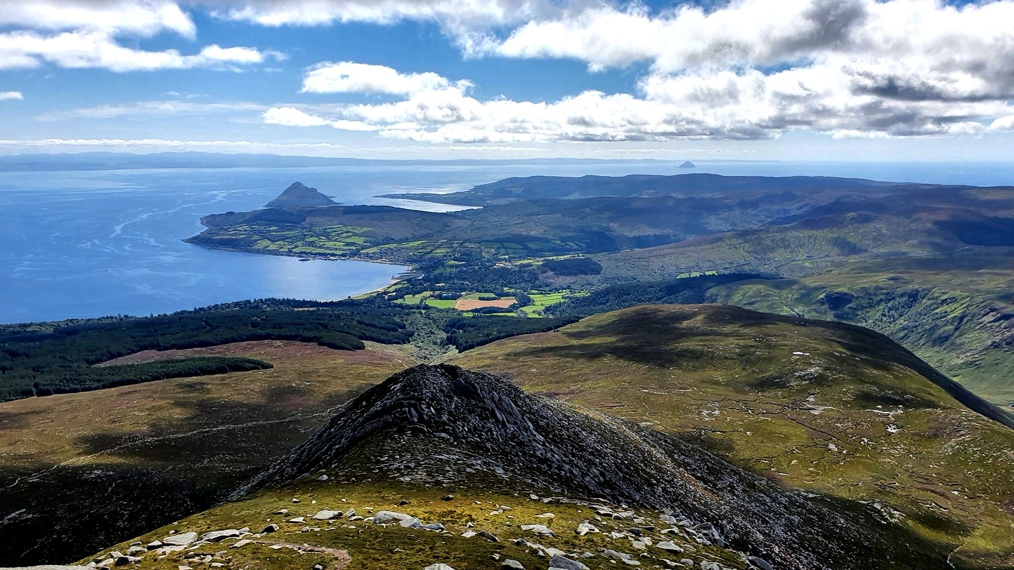
Arran Coastal Way — A breathtaking loop of 'Scotland in miniature'
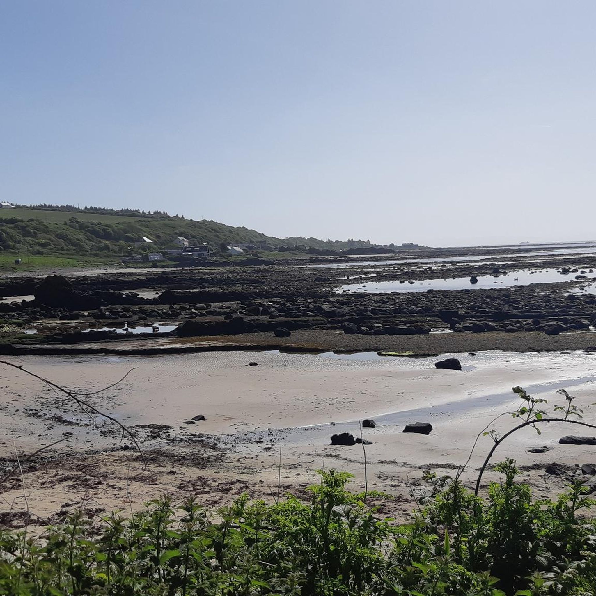
Road Cycling Routes around South Arran Marine Protected Area
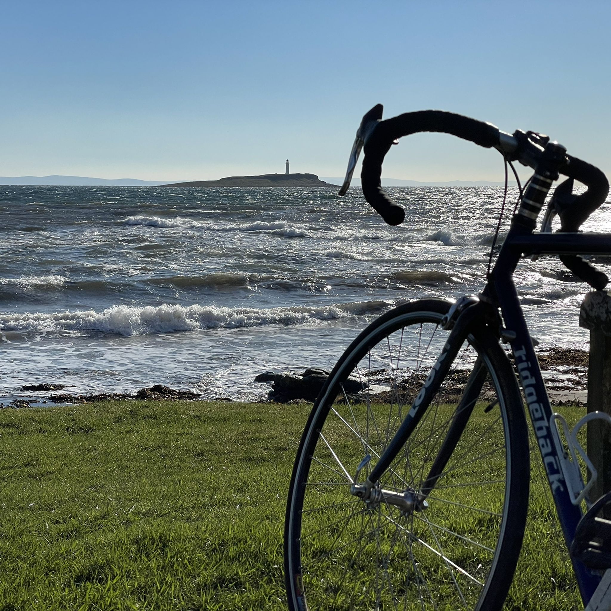
Cycling around South Arran Marine Protected Area
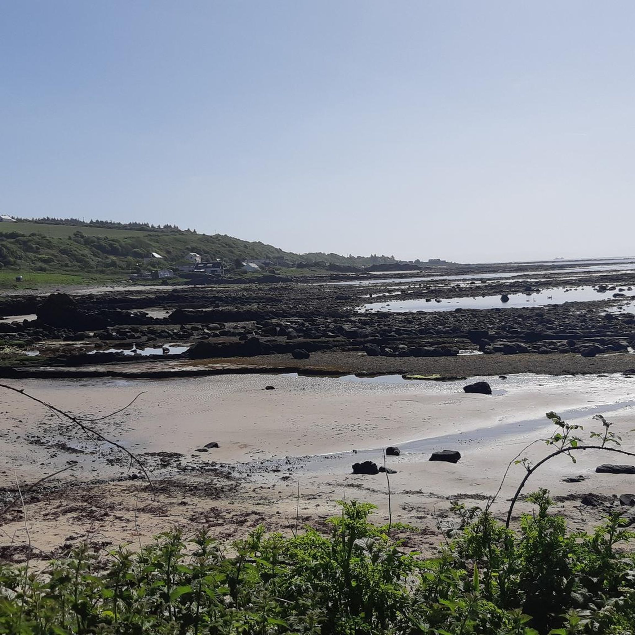
MTB Trails around South Arran Marine Protected Area

Gravel biking around South Arran Marine Protected Area
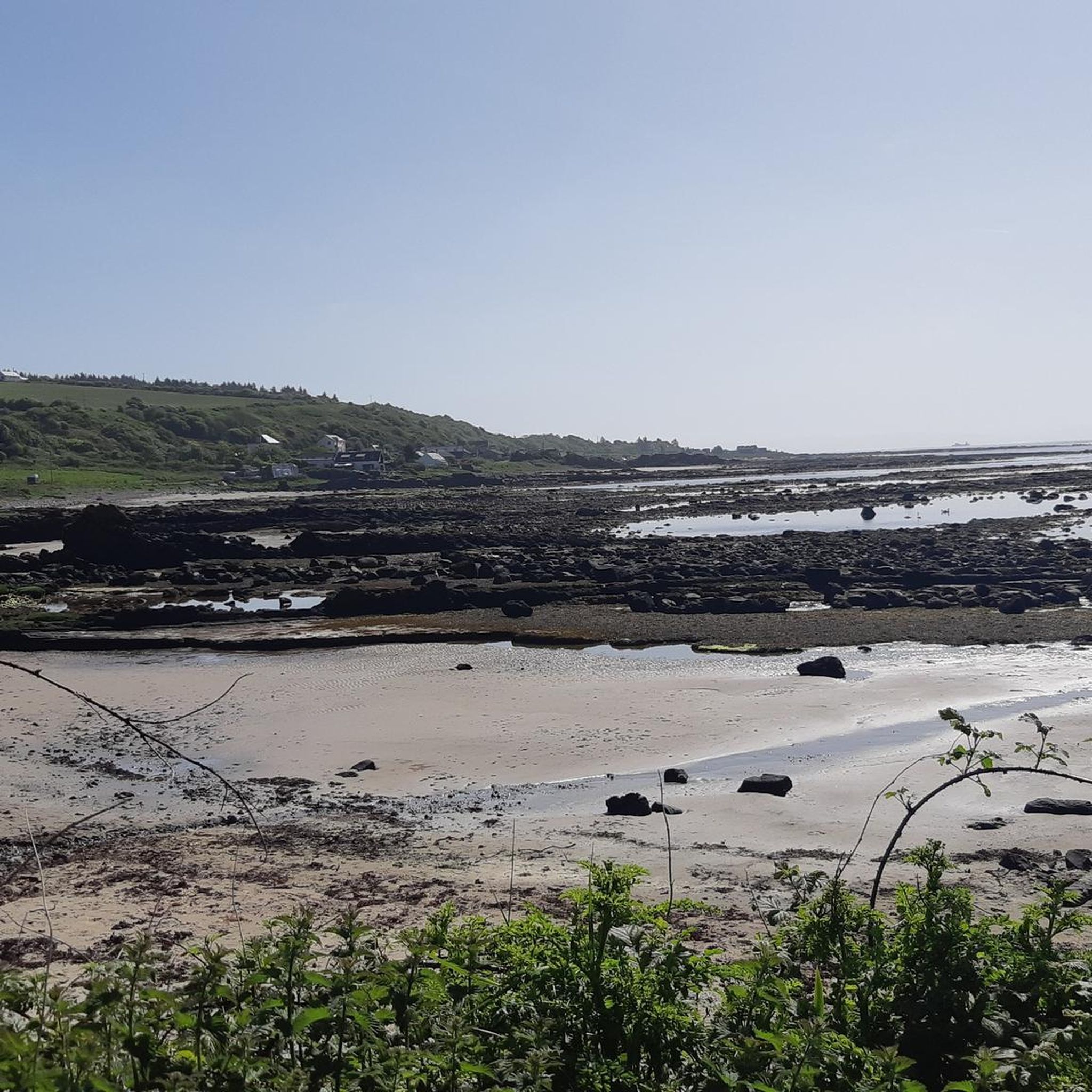
Running Trails around South Arran Marine Protected Area
Other adventures around South Arran Marine Protected Area

Tips from the Community

There are a number of quite big caves, the biggest being Kings Cave with it's ornate ironwork at the entrance. There is evidence of human occupation and activity going back thousands of years.
0
0
A fine view from the hill overlooking Machrie Bay, towards Mullach Buidhe.
0
0
Eas a' Chrannaig is the biggest and best waterfall on Arran!
0
0

If attempting to hike towards Glenashdale Falls - Left of loch, a lot of deforestation & uprooted trees blocking visibility/pathway. Unable to find much of a path without roughly following app but had to abandon once a path leading to Whiting Bay/Kildonan. Forest area was extremely soft moss/boggy. Don’t attempt besides enjoying the spot at the picnic part by the loch.
0
0


The last 500m to the Black Cave you have to climb over scree, you need good shoes and surefootedness! At the end you walk along the rock face, really not for a "walk"!
0
0

When it rains, the rain unfolds its mystical aura. Crossing the stream is also quite slippery. The rest of the path along the lake is also quite adventurous.
0
0

July 8: the trip went through a swamp. You can't get through without wet feet. Because everything is green, it is not visible where you can walk and where there are ditches. You fall through everything.
1
0
Frequently Asked Questions
How many hiking trails are available in the South Arran Marine Protected Area?
There are over 25 hiking trails in the South Arran Marine Protected Area, offering a diverse range of experiences. These include 11 easy routes, 11 moderate routes, and 3 more challenging treks, ensuring options for various skill levels.
Are there any easy, family-friendly hikes in the South Arran Marine Protected Area?
Yes, the area offers several easy routes suitable for families. An excellent option is the Glenashdale Waterfall loop from Ashdale Bridge, an easy 3.7-mile (5.9 km) trail that leads to impressive waterfalls. Another family-friendly choice is the Iron Age Fort & Glenashdale Falls from Whiting Bay, which also features waterfalls and woodlands.
Can I find circular walks in the South Arran Marine Protected Area?
Yes, there are several circular walks available. A notable moderate option is the Kildonan & Giants' Graves loop via The Library in the Woods — Isle of Arran, which offers a varied experience. The Glenashdale Waterfall loop from Ashdale Bridge is another popular circular route.
Are there hikes that feature waterfalls in this region?
Absolutely. The South Arran Marine Protected Area is known for its beautiful waterfalls. You can explore routes like the Glenashdale Waterfall loop from Ashdale Bridge or the Iron Age Fort & Glenashdale Falls from Whiting Bay, both of which lead to impressive falls.
What historical sites or landmarks can I explore while hiking?
The region is rich in history. You can visit the legendary King's Cave, said to have sheltered Robert the Bruce, or the ancient The Doon Hillfort. The Blackwaterfoot to King's Cave via The Doon Hillfort — Isle of Arran route combines both these historical points of interest.
What kind of views can I expect on hikes in the South Arran Marine Protected Area?
Hikers can enjoy diverse and panoramic views. Coastal paths offer breathtaking sea vistas, including views of Pladda Island and Ailsa Craig from Kildonan Beach (View of Pladda Island and Ailsa Craig from Kildonan Beach). You can also find beautiful perspectives across Arran and the Firth of Clyde, such as the View of Holy Isle.
Are there any coastal hiking trails in the area?
Yes, the South Arran Marine Protected Area features numerous coastal paths. These trails wind along the shoreline, offering stunning sea views. An example is the Kildonan to Lagg via Arran Coastal Way, which provides a scenic coastal experience.
What do other hikers say about the trails in South Arran Marine Protected Area?
The trails in the South Arran Marine Protected Area are highly regarded by the komoot community, with an average score of 4.6 stars from over 370 reviews. Hikers frequently praise the diverse terrain, from coastal beauty to lush forests, and the well-maintained paths that lead to impressive natural features like waterfalls and historical sites.
Is there a visitor center or educational facility related to the marine protected area?
Yes, the COAST Discovery Centre in Lamlash is Scotland's first community-led Marine Protected Area visitor center. It offers exhibitions, interactive activities, and educational insights into marine conservation efforts, including the Lamlash Bay No Take Zone (NTZ). You can learn more about it at visitarran.com.
What kind of natural landscapes can I expect to see while hiking in the South Arran Marine Protected Area?
The region offers a remarkable diversity of landscapes. You'll encounter coastal paths with sandy beaches, lush woodlands, and areas showcasing Arran's unique geology, including the dramatic contrast created by the Highland Fault line. This varied terrain provides a rich hiking experience.
Can I visit Holy Isle from the South Arran Marine Protected Area?
Yes, Holy Isle is accessible by ferry from Lamlash. It's a place of spiritual retreat and natural beauty where you can observe wild Eriskay ponies, Saanen goats, and Soay sheep. You can also visit St. Molaise's cave and enjoy beautiful views across Arran and the Firth of Clyde.
Most popular routes around South Arran Marine Protected Area
Most popular attractions around South Arran Marine Protected Area

Get inspired with the komoot mobile app


Explore more
Browse the best Hikes in other regions.
