The best road cycling routes around Onís
4.6
(79)
6,126
riders
41
rides
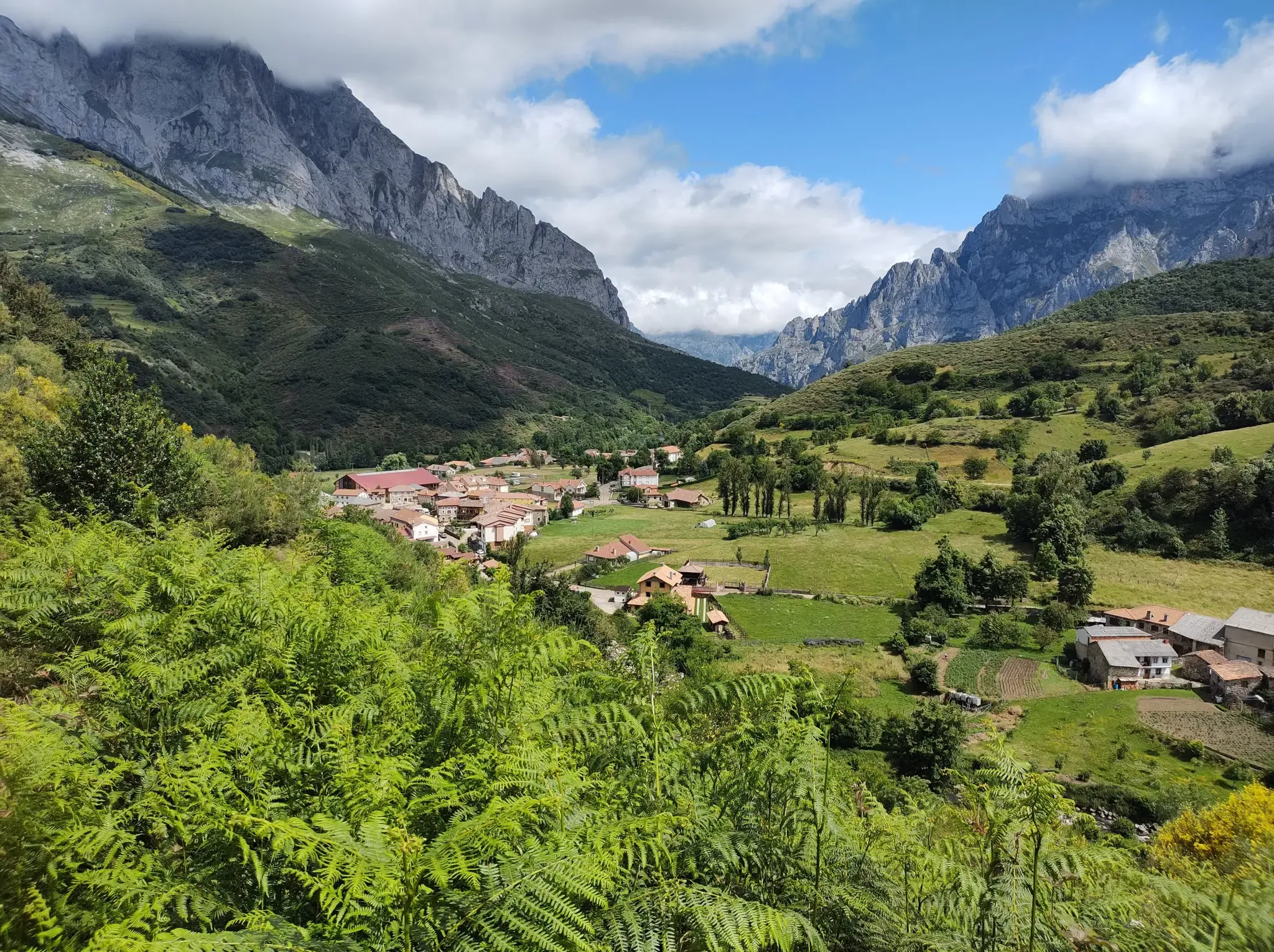
Road cycling routes around Onís traverse the foothills of the Picos de Europa, characterized by river valleys, rolling hills, and mountain passes. The region features a mix of open roads and forested sections, with varying elevation profiles. Road cyclists can expect routes that navigate through rural landscapes and connect small towns.
Best road cycling routes around Onís
- The most popular road cycling route is San Antolín de Bedón Beach – Holy Cave of Covadonga loop from Cuadonga / Covadonga,…
Last updated: October 18, 2026
5.0
(2)
143
riders
127km
07:14
2,780m
2,780m
Hard road ride. Very good fitness required. Some segments of this route may be unpaved and difficult to ride.
4.5
(2)
259
riders
24.2km
01:53
1,030m
1,030m
Hard road ride. Very good fitness required. Mostly well-paved surfaces and easy to ride.

74
riders
Moderate road ride. Good fitness required. Mostly well-paved surfaces and easy to ride.
57
riders
84.2km
04:31
1,690m
1,690m
Hard road ride. Very good fitness required. Mostly well-paved surfaces and easy to ride.
18
riders
118km
05:51
1,830m
1,820m
Hard road ride. Very good fitness required. Mostly well-paved surfaces and easy to ride.
Get access to more routes and recommendations from other explorers.
Already have an account?
Our route recommendations are based on thousands of hikes, rides, and runs completed by other people on komoot.
Start today with a free account
Your next adventure awaits.
Popular around Onís
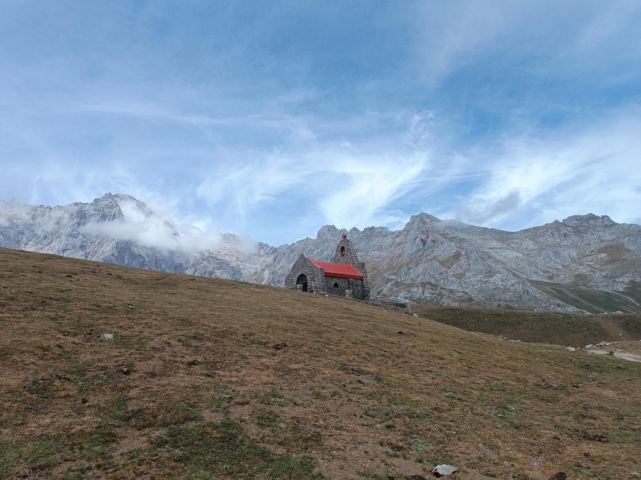
A pilgrimage to the peaks – Camino de los Santuarios
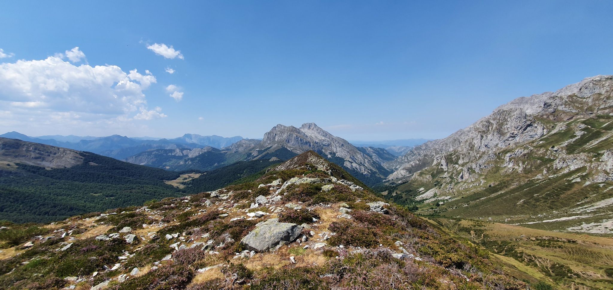
Four days hiking in Spain’s Picos de Europa – Anillo Vindio
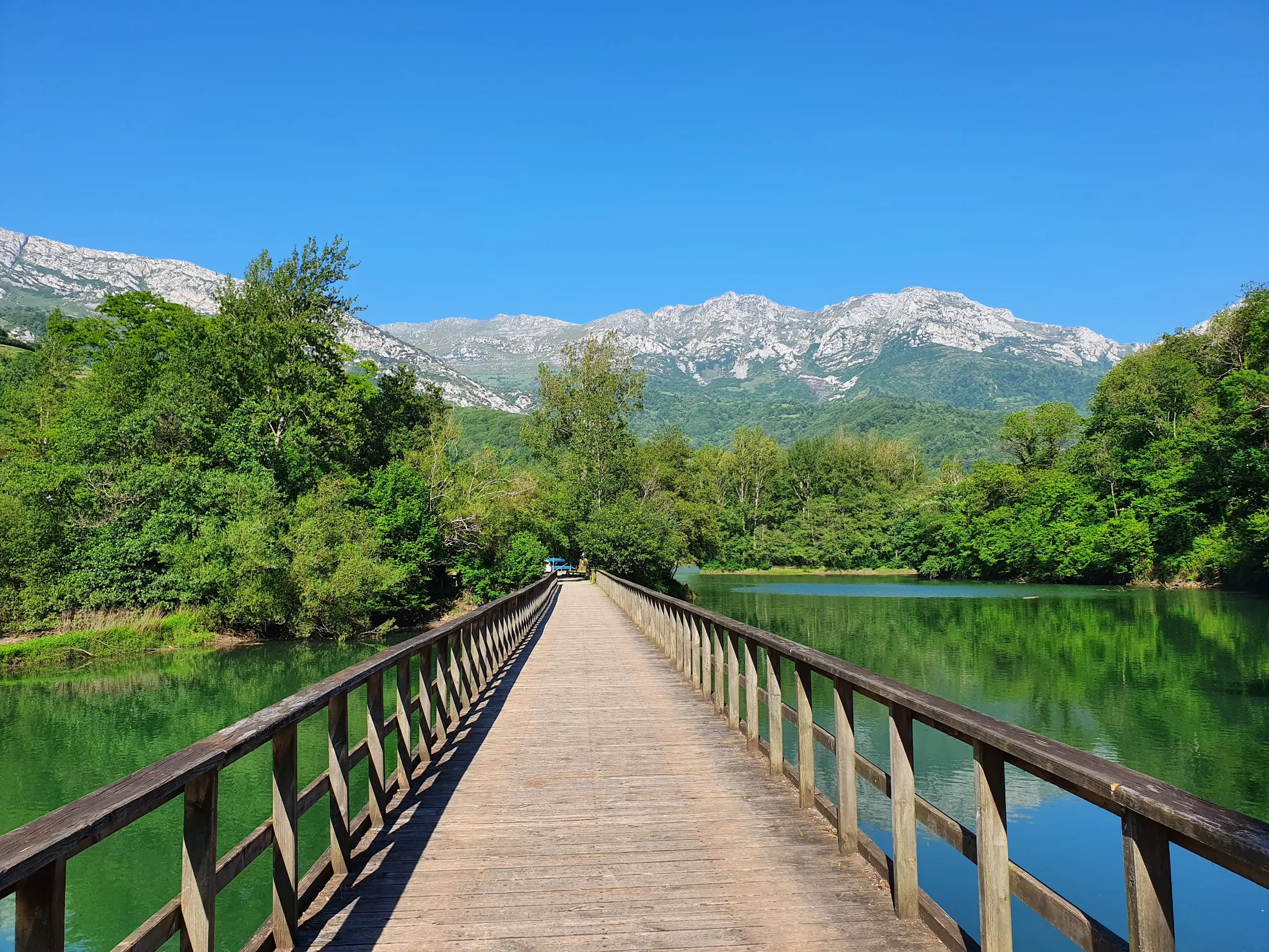
The secrets of the Cantabrian Mountains – GR 109 Asturias Interior
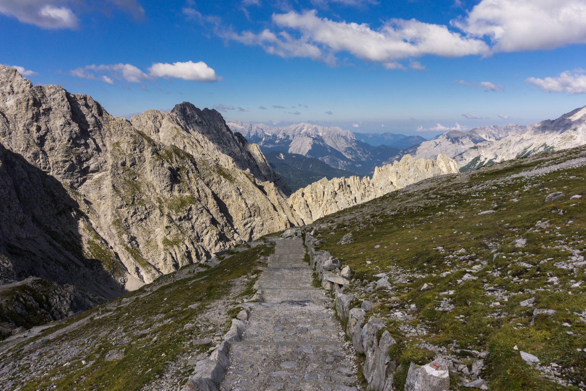
Las Cumbres Reinas de España — Spanish mountain trail races
Hike Spain’s Picos de Europa – Ring of Peaks, Three Massifs

Hiking around Onís

Cycling around Onís

Running Trails around Onís

MTB Trails around Onís

Mountain Hikes around Onís
Other adventures around Onís


Tips from the Community

On June 12, 1987, one of the greatest tragedies in the history of the Picos de Europa occurred. A Civil Guard helicopter was flying over the Lakes of Covadonga in a large-scale operation to find Germán Quintana, a 13-year-old boy who had disappeared days earlier. Difficult conditions and dense fog caused the aircraft to collide with the slope of the Sohornín peak, crashing near the road that connects the Enol and Ercina lakes. All seven occupants died in the accident: four Civil Guard officers and three canine guides from the Ertzaintza who had joined the search as volunteers with their dogs. Tragically, the boy was never found. This double tragedy shocked the country, and the rescuers are still remembered today with this stone monument erected at the site of the crash.
0
0
It's better to stop to see it on your way back to the sanctuary.
0
0
Also known as La peña del Elefante, or Elefante de Teon.
0
0

Spectacular view with explanation
0
0
At the roundabout you can go towards Benia de Onís, the area of Cangas and the Lakes of Covadonga, towards Arenas de Cabrales, the area of Sotres, Bulnes, Colombres..., or towards Posada de Llanes.
0
0

A precious place
0
0

The bridge is known as the Roman Bridge of Cangas de Onís and also bears the nicknames “Puente Vieyu” or “Puentón”. It is a very beautiful sight of the Principality of Asturias.
0
0
Frequently Asked Questions
What types of road cycling routes can I find in Onís?
Onís offers a diverse range of road cycling routes, characterized by river valleys, rolling hills, and challenging mountain passes. You'll find a mix of open roads and forested sections, navigating through rural landscapes and connecting small towns. Routes vary from moderate loops to difficult mountain challenges.
How many road cycling routes are available in Onís?
There are over 25 road cycling routes available in Onís, catering to various skill levels. This includes 14 moderate routes and 15 difficult routes, ensuring options for both experienced cyclists and those looking for a significant challenge.
Are there any beginner-friendly road cycling routes in Onís?
While Onís is known for its challenging terrain, there are moderate routes suitable for those with some road cycling experience. For example, the Cangas de Onís town centre loop from Santa Eulalia/Santolaya is a 21.6-mile route with a moderate difficulty, offering a good introduction to the area's cycling.
What are some challenging road cycling routes in Onís?
For experienced cyclists seeking a challenge, Onís offers several difficult routes. The San Antolín de Bedón Beach – Holy Cave of Covadonga loop from Cuadonga / Covadonga is a demanding 68.9-mile route with significant inland climbs. Another challenging option is the Alto de Ortiguero Descent – Casaño River Valley to Carreña loop from Samartín de Grazanes, a 43.8-mile path featuring steep descents and ascents.
Are there any loop road cycling routes in Onís?
Yes, many of the road cycling routes in Onís are designed as loops, allowing you to start and finish in the same location. Examples include the Cangas de Onís town centre loop from Santa Eulalia/Santolaya and the Alto de Ortiguero Descent – Cangas de Onís town centre loop from Mirador de Canales.
What can I see along the road cycling routes in Onís?
Road cycling routes in Onís often pass by stunning natural features and historical sites. You might encounter parts of the famous Ruta del Cares, including sections like 6 km on the Ruta del Cares or the Dwarves' Tunnels on the Cares Trail. The region is also home to picturesque river valleys and bridges, such as the Bridge near the Cares River.
What is the best season for road biking in Onís?
The best season for road biking in Onís is generally spring through autumn (April to October). During these months, the weather is typically more stable, with pleasant temperatures and less rainfall, making the mountain passes and valleys more accessible and enjoyable for cycling.
What do other road cyclists enjoy most about road cycling in Onís?
The road cycling experience in Onís is highly rated by the komoot community, with an average score of 4.7 stars from over 50 reviews. Cyclists often praise the varied terrain, from river valleys to mountain foothills, and the well-maintained rural roads that offer both scenic beauty and challenging climbs.
Are there any routes that feature river valleys or gorges?
Yes, many routes in Onís traverse beautiful river valleys and gorges. For instance, the Alto de Ortiguero Descent – Casaño River Valley to Carreña loop from Samartín de Grazanes takes you through the Casaño River Valley. You can also find highlights like the Cares Gorge (Garganta Divina) in the Picos de Europa National Park, which is accessible from some routes.
Are there any road cycling routes that connect coastal areas with inland climbs?
Yes, some routes in Onís offer a unique combination of coastal scenery and significant inland ascents. The San Antolín de Bedón Beach – Holy Cave of Covadonga loop from Cuadonga / Covadonga is a prime example, connecting the coast with the challenging climbs towards the Holy Cave of Covadonga.
What is the typical elevation gain on road cycling routes in Onís?
The elevation gain on road cycling routes in Onís varies significantly. Moderate routes might have around 300-800 meters of ascent, while difficult routes, especially those tackling mountain passes, can feature over 1300-1700 meters of elevation gain, such as the San Antolín de Bedón Beach – Holy Cave of Covadonga loop with over 1700 meters of climbing.
Most popular attractions around Onís

Get inspired with the komoot mobile app


Explore more
Browse the best Road cycling routes in other regions.
