The best MTB trails around Bislicher Insel
4.6
(690)
2,592
riders
231
rides
Mountain biking around Bislicher Insel traverses a unique floodplain landscape on the Lower Rhine, characterized by wide meadows and a former arm of the Rhine River. The terrain includes artificial lakes formed from gravel mining, contributing to diverse ecosystems. This nature reserve offers mostly flat to gently undulating paths, with minimal elevation gain, making it suitable for various skill levels. The area's natural features provide scenic backdrops for mountain biking, often along the river and through open landscapes.
Best mountain…
Last updated: October 7, 2026
16
riders
Easy mountain bike ride. Great for any fitness level. Suitable for all skill levels.
4.5
(6)
12
riders
Easy mountain bike ride. Great for any fitness level. Suitable for all skill levels.

5.0
(2)
11
riders
29.4km
01:39
100m
100m
Moderate mountain bike ride. Great for any fitness level. Advanced riding skills necessary.
3.0
(1)
7
riders
Easy mountain bike ride. Great for any fitness level. Suitable for all skill levels.
7
riders
Easy mountain bike ride. Great for any fitness level. Suitable for all skill levels.
Get access to more routes and recommendations from other explorers.
Already have an account?
Our route recommendations are based on thousands of hikes, rides, and runs completed by other people on komoot.
Start today with a free account
Your next adventure awaits.

Tips from the Community

Sail comfortably across the Rhine with the passenger ferry Keer Tröch II – a real highlight for any bike or hiking tour. The short crossing between Bislich and Xanten immediately brings a holiday feeling and a great view of the Rhine landscape. Perfect for a short break along the way. 🚲⛴️
0
0

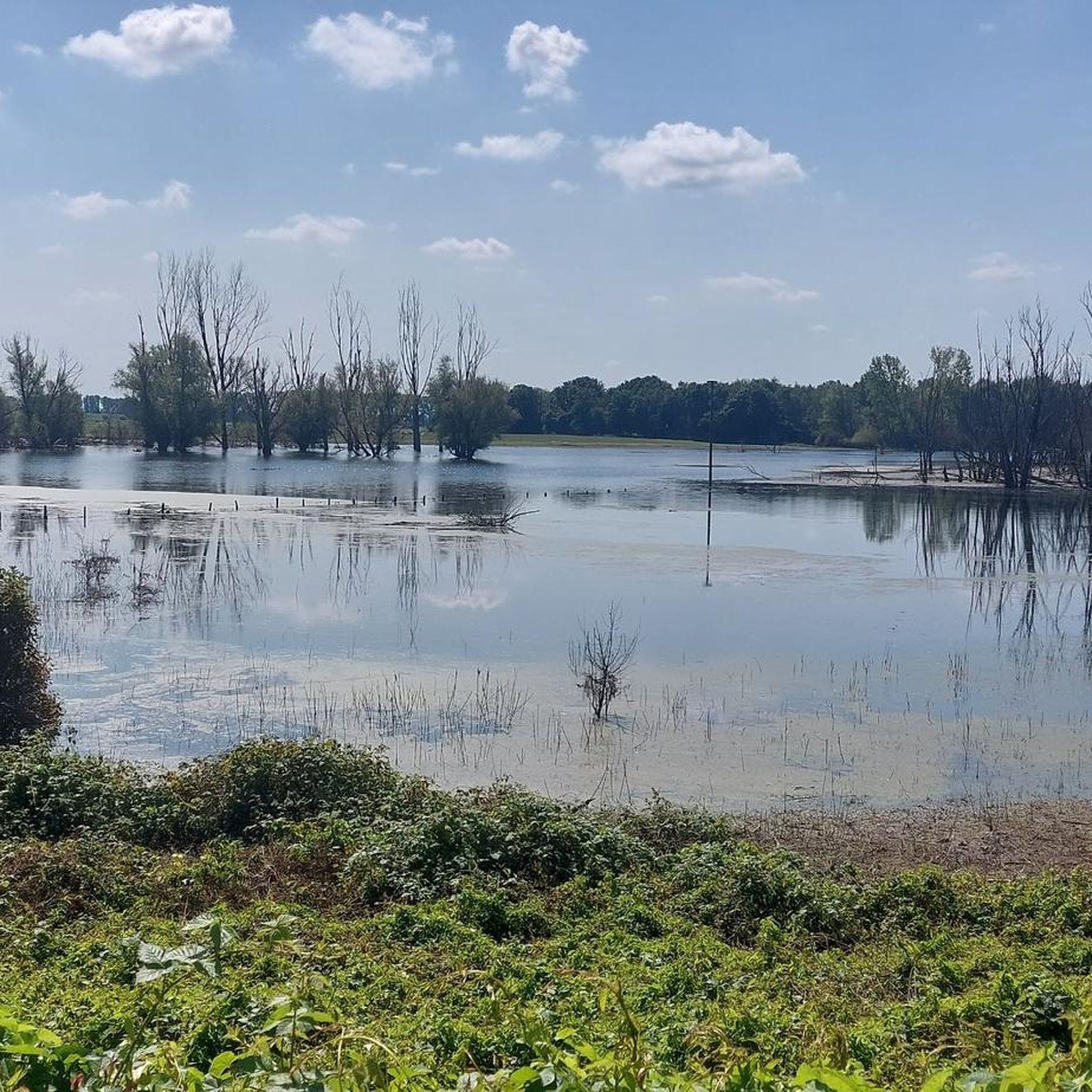
Beautiful view over the lake.
0
0
Past the Roman thermal baths.
0
0
Rental boats, food, e-bike charging stations, boat trip etc.
3
0

Nice playground - especially if you're traveling with children and grandchildren.
2
0

The 3.4 km long and 6 m high city wall was built starting in 105 AD and featured a parapet walk or earthworks on its inner side. The top of the wall was crowned with battlements, and a double ditch ran along three sides of the fortifications, while only a simple V-shaped ditch existed on the harbor side. Nevertheless, the wall was primarily intended to demonstrate Roman power. The fortifications had a total of 22 towers and three impressive main gates with double passageways on the main roads: the North Gate (also known as the Burginatum Gate), the Maastor Gate, and the Vetera Gate. Since there was no main gate on the Rhine side, some of the towers, such as the Harbor Gate, the Molentor Gate, and the Small Harbor Gate, had simple passageways. Today, the eastern corner of the Roman city wall near the amphitheater, the North Gate, and the nine towers between the North Gate and the main entrance to the city center have been partially reconstructed. To create a continuous facade, the remaining spaces between the towers are planted with hedges. The city wall is to be gradually reconstructed and sections of it are now open to the public. The North Gate, also known as the Burginatium Gate, was the main northern gate leading towards the Roman fort of Burginatium (in Altkalkar). It was reconstructed to its full height. Like the other two main gates, it had a double passageway, was flanked by gate towers, and consisted of three stories. The gate is now open to the public and houses the exhibition "Death & Burial." The harbor of Roman Xanten was located at the Harbor Gate (or East Gate). This gate had a single passageway and is now open to the public. In front of the Molen Gate, which also had a single passageway, the Rhine harbor mole was located in Roman times. However, the Rhine silted up around 300 BC, necessitating the construction of a new mole further north. The gate tower is now open to the public and serves as the entrance to the Harbor Temple park. Source: roemer-tour.de/roemerwegen/deutschland/northrhein-westfalen/xanten-colonia-ulpia-traiana/stadtmauer-tore-xanten
4
0

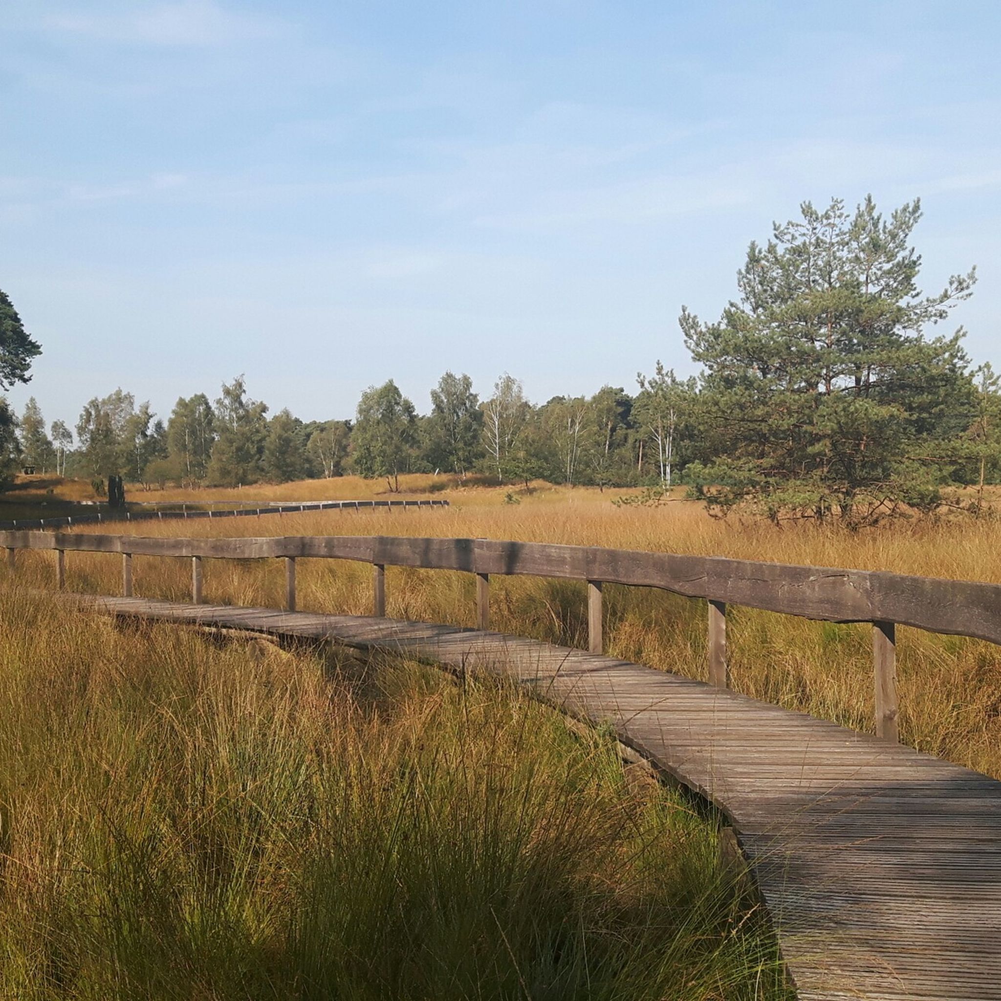
beautiful cycle path
0
0
Frequently Asked Questions
How many mountain bike trails are available around Bislicher Insel?
There are over 270 mountain bike trails around Bislicher Insel, offering a wide range of options for different skill levels. The komoot community has explored these routes over 2,700 times.
What is the typical terrain like for mountain biking in Bislicher Insel?
The terrain around Bislicher Insel is primarily characterized by expansive floodplain landscapes, wide meadows, and a former arm of the Rhine River. You'll find mostly flat to gently undulating paths, with minimal elevation gain, making it suitable for relaxed rides through nature reserves and along the Rhine.
Are there any family-friendly mountain bike trails in the area?
Yes, Bislicher Insel offers several family-friendly routes. Many paths are easy and suitable for all ages, leading through the nature reserve and along scenic lakes. An example is the Bislicher Insel Nature Reserve – Rhine Ferry Bislich–Xanten loop from Birten, which is an easy 9.6-mile (15.4 km) trail.
Can I find challenging mountain bike routes around Bislicher Insel?
While the region is known for its gentle terrain, there are some routes classified as 'difficult' for those seeking more challenge. For instance, the Bislicher Meer and Wat Ley – Bislicher Wald Forest Trails loop from Droste Woy, Rheinaue zwischen Wesel und Bislich is a 14.2-mile (22.9 km) difficult trail that takes you through the Bislicher Wald Forest and past lakes.
What natural features or landmarks can I see along the mountain bike trails?
Mountain bike trails often lead through the heart of the nature reserve, offering scenic views of the Rhine and artificial lakes. You can observe diverse flora and fauna, including a significant bird sanctuary. Notable highlights include the Bislicher Insel Nature Reserve itself, the Water buffalo on Bislicher Insel, and the Bislicher Insel Birdwatching Area with observation huts.
Are there any circular mountain bike routes available?
Yes, many routes around Bislicher Insel are designed as loops. For example, the Hees Forest near Xanten – View of Xanten Cathedral loop from Xanten is an easy 14.5-mile (23.3 km) circular path that provides scenic views towards Xanten Cathedral.
What is the best time of year for mountain biking in Bislicher Insel?
The Bislicher Insel region is enjoyable for mountain biking throughout much of the year. Spring and autumn offer pleasant temperatures and beautiful natural scenery. Winter can also be a unique experience, especially for birdwatching, as up to 25,000 wild geese migrate to the area. However, be mindful of potential wet conditions on trails during colder, wetter months.
Are dogs allowed on the mountain bike trails in Bislicher Insel?
While the region is a nature reserve, many paths are generally accessible. However, specific regulations regarding dogs, especially within sensitive bird sanctuary areas, may apply. It's advisable to keep dogs on a leash and respect local signage to protect the wildlife.
Where can I find parking for mountain biking near Bislicher Insel?
Parking is generally available at various entry points to the nature reserve and nearby towns. Specific starting points for routes, such as Birten or Droste Woy, Rheinaue zwischen Wesel und Bislich, often have designated parking areas for visitors.
What do other mountain bikers say about the trails in Bislicher Insel?
The routes in Bislicher Insel are highly rated by the komoot community, with an average score of 4.6 stars from over 600 reviews. Mountain bikers often praise the unique floodplain landscapes, the peaceful atmosphere, and the well-maintained paths that offer great opportunities for nature observation.
Are there places to eat or drink near the mountain bike trails?
While the nature reserve itself is primarily undeveloped, the surrounding towns and villages, such as Xanten and Wesel, offer various cafes, pubs, and restaurants where you can refuel after your ride. Some routes, like the View of Droste Woy Lake – Beer garden at Rheinblick loop from Droste Woy, Rheinaue zwischen Wesel und Bislich, even pass by establishments like beer gardens.
How long are the mountain bike trails around Bislicher Insel typically?
The mountain bike trails vary in length, catering to different preferences. You can find shorter routes, such as the 9.6-mile (15.4 km) Bislicher Insel Nature Reserve – Rhine Ferry Bislich–Xanten loop from Birten, as well as longer options like the 15.7-mile (25.2 km) Schwarzes Wasser – View of Reeser Meer loop from Droste Woy, Rheinaue zwischen Wesel und Bislich.
Most popular routes around Bislicher Insel
Most popular attractions around Bislicher Insel

Get inspired with the komoot mobile app


Explore more
Browse the best MTB trails in other regions.
