The best walks and hikes around Bislicher Insel
4.5
(12188)
47,999
hikers
19
hikes
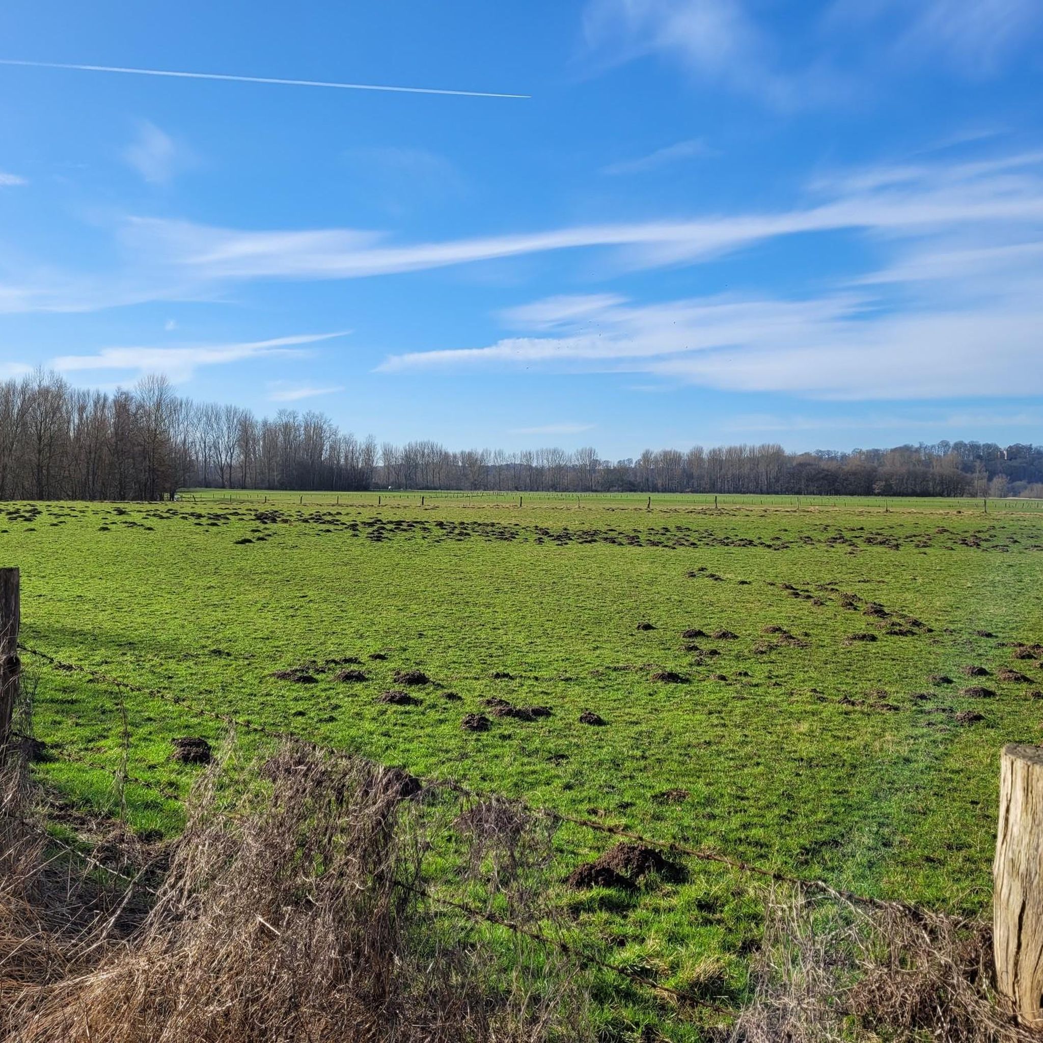
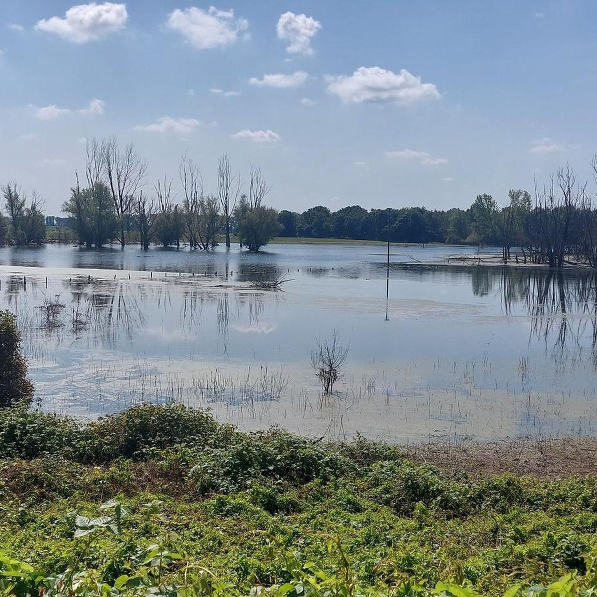
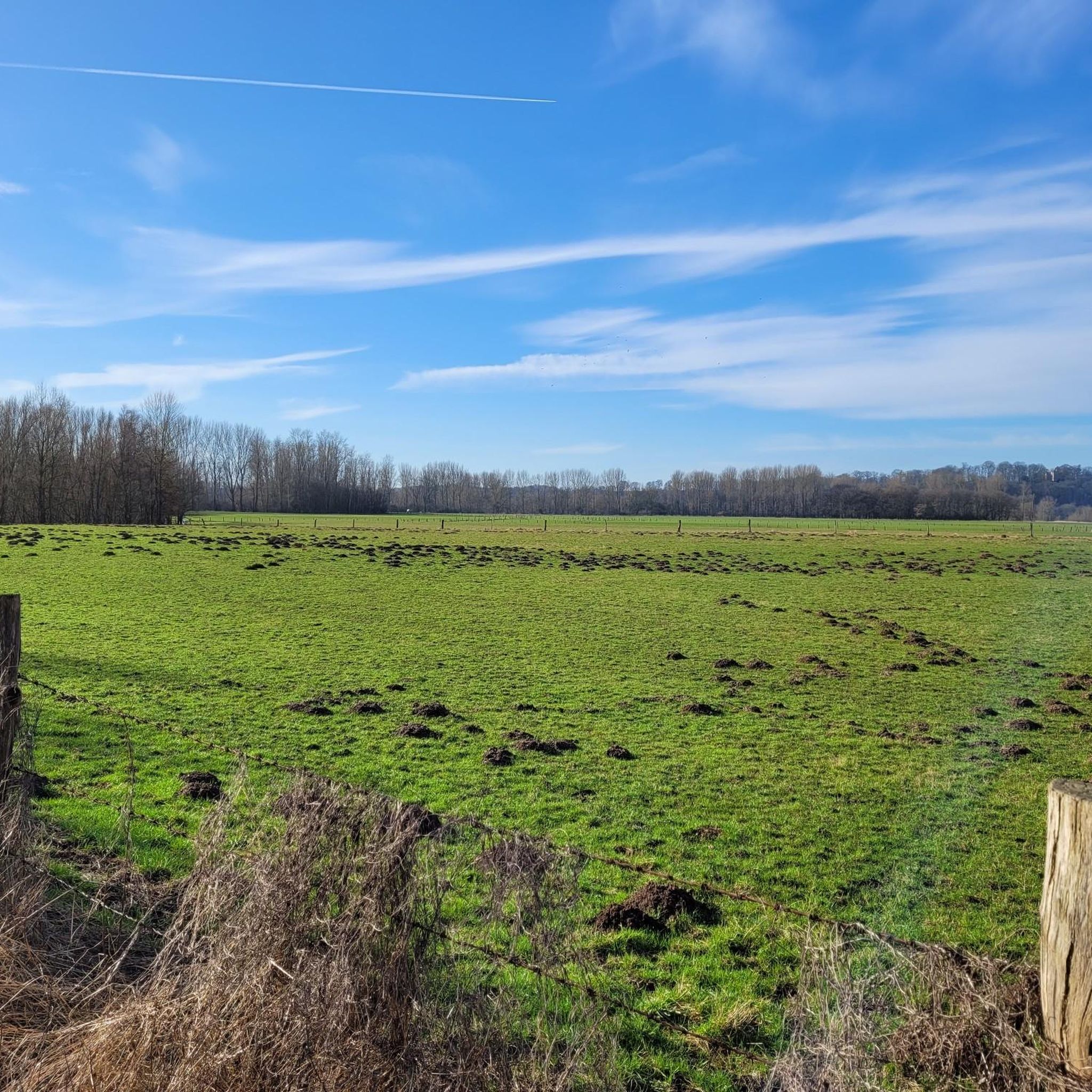
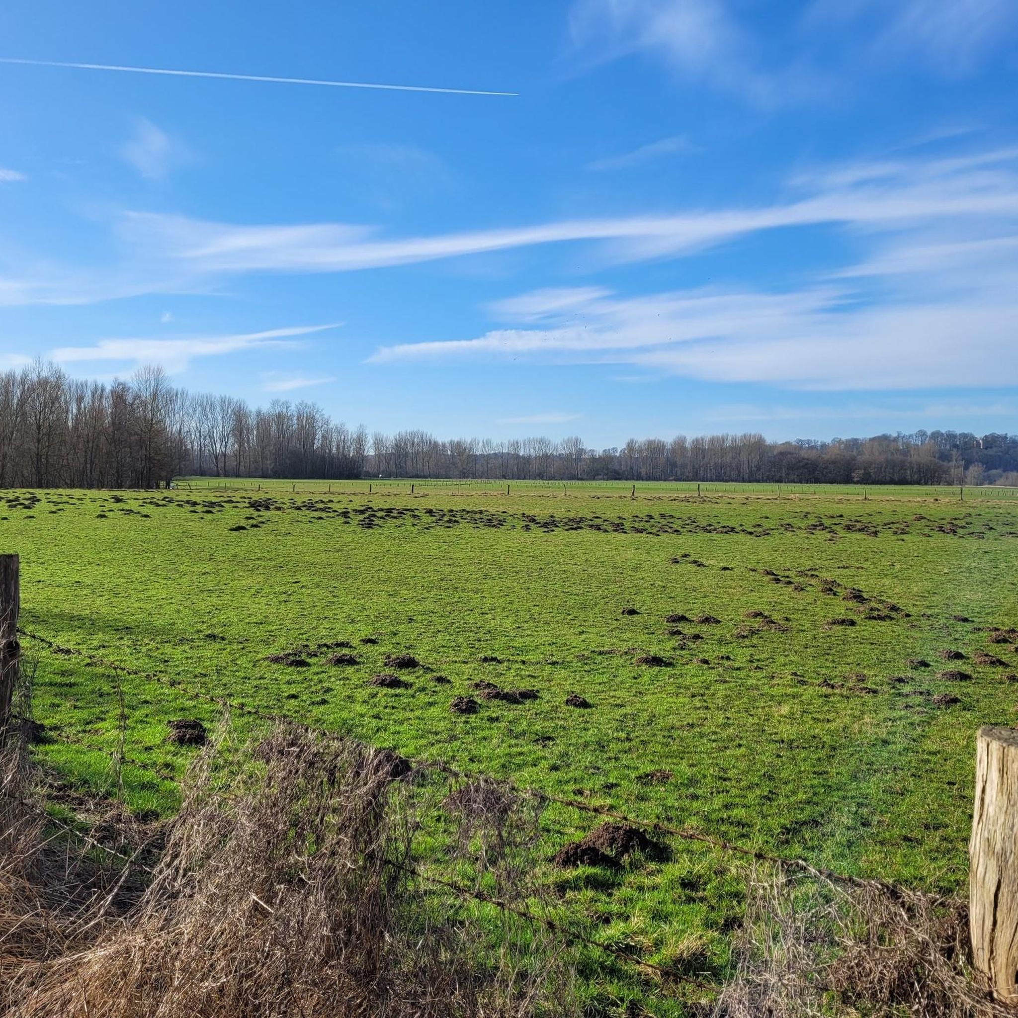
Hiking around Bislicher Insel offers a distinctive experience within one of Germany's few remaining natural floodplain landscapes. This area, located on the Lower Rhine between Xanten and Wesel, features extensive wetlands and meadowlands shaped by the Rhine's historical course. The terrain is characterized by reed-lined areas, diverse tree species like black poplars and alders, and a rich variety of flora and fauna, including numerous bird species. Regular flooding influences the dynamic environment, creating a unique ecosystem for outdoor exploration.
Best…
Last updated: October 11, 2026
4.1
(83)
268
hikers
Moderate hike. Good fitness required. Easily-accessible paths. Suitable for all skill levels.
4.4
(33)
135
hikers
Moderate hike. Great for any fitness level. Mostly accessible paths. Sure-footedness required.

4.6
(126)
393
hikers
15.2km
04:02
150m
150m
Moderate hike. Good fitness required. Easily-accessible paths. Suitable for all skill levels.
4.3
(18)
75
hikers
Moderate hike. Good fitness required. Easily-accessible paths. Suitable for all skill levels.
4.7
(9)
35
hikers
21.0km
05:20
60m
60m
Hard hike. Very good fitness required. Easily-accessible paths. Suitable for all skill levels.
Get access to more routes and recommendations from other explorers.
Already have an account?
Our route recommendations are based on thousands of hikes, rides, and runs completed by other people on komoot.
Start today with a free account
Your next adventure awaits.

Tips from the Community


The nature here is absolutely beautiful
1
0

You see these bunkers everywhere in the forest.
2
0

There is a lot to observe here…
1
0
Beautiful view of the Old Rhine.
0
0
Here you can observe many rare and common bird species…
3
0
Important “resting place” for birds!
0
0
Frequently Asked Questions
How many hiking trails are available in Bislicher Insel?
Bislicher Insel offers a diverse network of over 20 hiking routes. These include 11 easy trails, 9 moderate routes, and 2 more challenging options, catering to various fitness levels and preferences.
What kind of terrain will I encounter on the hiking trails?
The terrain in Bislicher Insel is characterized by its unique floodplain landscapes and extensive wetlands. You'll hike through meadowlands, along reed-lined paths, and past diverse tree species like black poplars, alders, and willows. The routes often provide scenic views of the Rhine and its old arm, with paths ranging from asphalt to mostly paved surfaces, as well as natural earth trails.
Are there any easy or family-friendly hiking routes in Bislicher Insel?
Yes, Bislicher Insel is well-suited for families and casual walkers, with 11 easy routes available. These well-signposted trails offer gentle strolls through the nature reserve. A good option for exploring the heart of the reserve is the Bislicher Insel Nature Reserve – Café Zur Rheinfähre loop from NSG Fuerstenberg, which is a moderate 7.3 km path.
Can I bring my dog on the hiking trails?
While Bislicher Insel is a nature reserve, dogs are generally permitted on designated hiking trails, but must be kept on a leash to protect the sensitive wildlife. Please be mindful of local regulations, especially concerning ground-nesting birds and grazing animals.
What wildlife can I expect to see while hiking?
Bislicher Insel is renowned for its rich biodiversity, especially its birdlife. Hikers can observe numerous species, including large colonies of cormorants, herons, and various water birds. Beavers have also been resettled in the area. For optimal viewing, several birdwatching huts are strategically placed along the trails, such as the Bislicher Insel Birdwatching Area and Bislicher Insel Birdwatching Hut 1.
Are there any circular hiking routes available?
Yes, many of the trails in Bislicher Insel are designed as loops. For example, the Nature Forum Bislicher Insel loop from Ginderich is a moderate 11.5 km circular route that allows you to experience the area's natural beauty without retracing your steps.
What are the best times of year to hike in Bislicher Insel?
Bislicher Insel offers exciting animal observations and unique landscapes in every season. Spring and autumn are particularly popular for birdwatching, while summer provides lush greenery. Winter hiking can offer a serene experience, though parts of the floodplain may be subject to flooding depending on Rhine water levels. The dynamic environment changes throughout the year, offering something new to discover on each visit.
Where can I find parking for the hiking trails?
Parking facilities are available near popular starting points for hikes in Bislicher Insel. The Nature Forum Bislicher Insel often serves as a good starting point with parking options. For specific routes, check the tour details on komoot for recommended parking locations.
Are there any places to eat or get refreshments near the trails?
Yes, there are options for refreshments. The Region Research mentions small huts along the main hiking route that offer spots to rest and enjoy regional specialties. Additionally, the Bislicher Insel Nature Reserve – Café Zur Rheinfähre loop suggests a café near the Rhine ferry, providing a place to stop during or after your hike.
What are some notable natural features or landmarks to look out for?
The primary natural feature is the unique floodplain landscape itself, shaped by the Rhine. You can explore the Bislicher Insel Nature Reserve, observe the Water buffalo on Bislicher Insel, and experience the dynamic Bislicher Insel Floodplain. The old Rhine arm is also a significant ecological feature. Birdwatching huts provide excellent vantage points for observing the rich avian life.
What do other hikers enjoy most about Bislicher Insel?
The area is highly rated by the komoot community, with an average score of 4.2 stars from over 300 reviews. Hikers often praise the unique floodplain landscapes, the abundance of wildlife, especially birds, and the peaceful atmosphere that allows for immersion in nature. The well-maintained trails and scenic views of the Rhine are also frequently highlighted.
Is public transport available to reach Bislicher Insel?
While specific public transport routes directly into the heart of the reserve might be limited, the area is accessible. For detailed information on bus or train connections to nearby towns like Xanten or Wesel, from which you might connect to the island, it's best to consult local public transport schedules.
Most popular routes around Bislicher Insel
Most popular attractions around Bislicher Insel

Get inspired with the komoot mobile app


Explore more
Browse the best Hikes in other regions.
