The best walks and hikes around Dubringer Moor
4.6
(1347)
5,469
hikers
17
hikes
Hiking around Dubringer Moor offers diverse natural landscapes within one of Saxony's largest nature reserves, spanning approximately 1,711 hectares. The region is characterized by extensive mires and bogs, including intermediate and low-moor bogs, alongside various forest types, wetlands, and reedbeds. A distinctive feature of the terrain is the presence of numerous fish ponds, such as Zelder's Ponds, which are active breeding grounds and important habitats. These varied ecosystems provide a rich environment for outdoor activities.
Best hiking trails around Dubringer…
Last updated: June 26, 2026
4.7
(54)
176
hikers
Easy hike. Great for any fitness level. Easily-accessible paths. Suitable for all skill levels.
4.7
(31)
94
hikers
Easy hike. Great for any fitness level. Easily-accessible paths. Suitable for all skill levels.

Sign up for free
4.8
(41)
155
hikers
Easy hike. Great for any fitness level. Easily-accessible paths. Suitable for all skill levels.
4.7
(6)
23
hikers
Easy hike. Great for any fitness level. Easily-accessible paths. Suitable for all skill levels.
4.6
(12)
44
hikers
Easy hike. Great for any fitness level. Easily-accessible paths. Suitable for all skill levels.
Get access to more routes and recommendations from other explorers.
Sign up for free
Already have an account?
Our route recommendations are based on thousands of hikes, rides, and runs completed by other people on komoot.
Start today with a free account
Your next adventure awaits.
Login or Signup
Tips from the Community

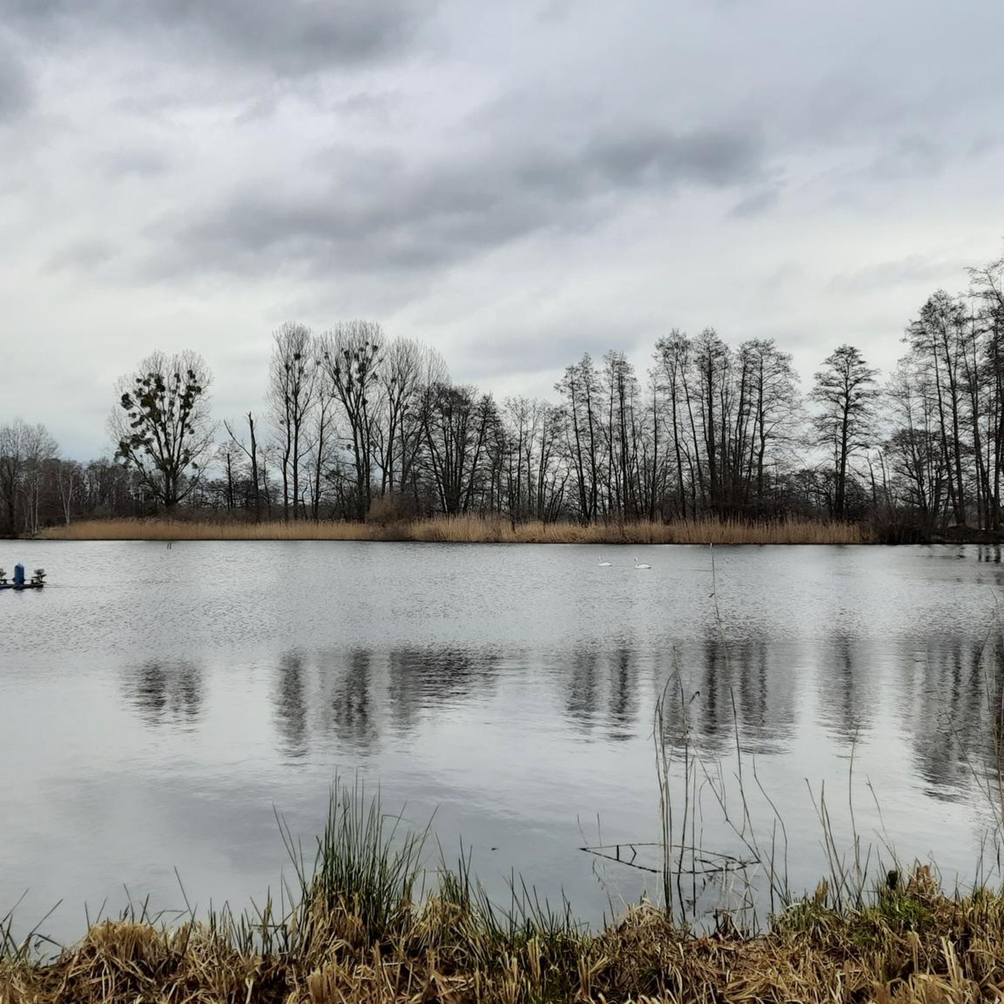
A beautiful path through the pond landscape
0
0

Zelder Dr. Fish Restaurant & Pond Farm - Weekends 11:00 AM - 8:00 PM Season ends: October 3, 2025 - Cash only https://zelders-fisch.de/index.html
1
0

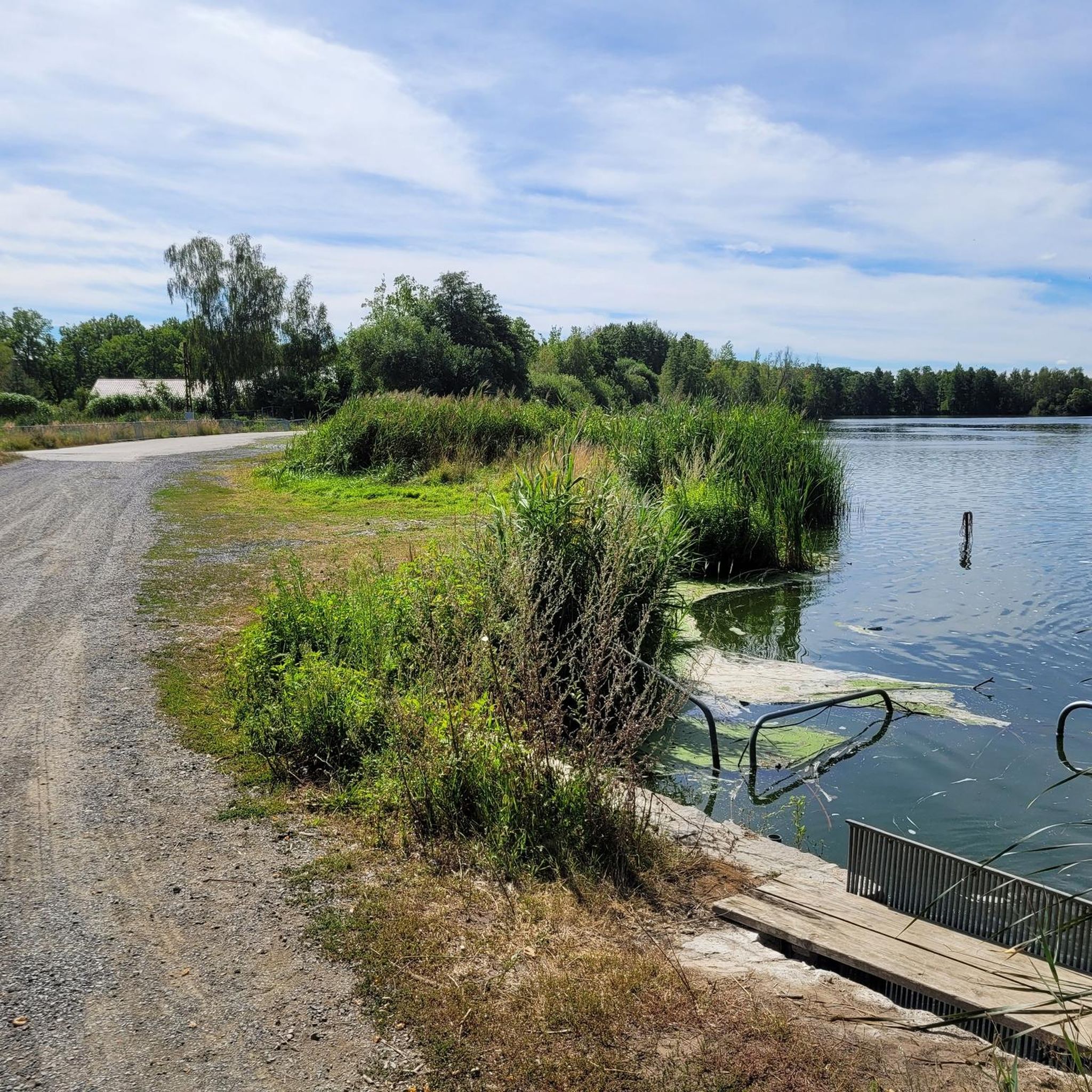
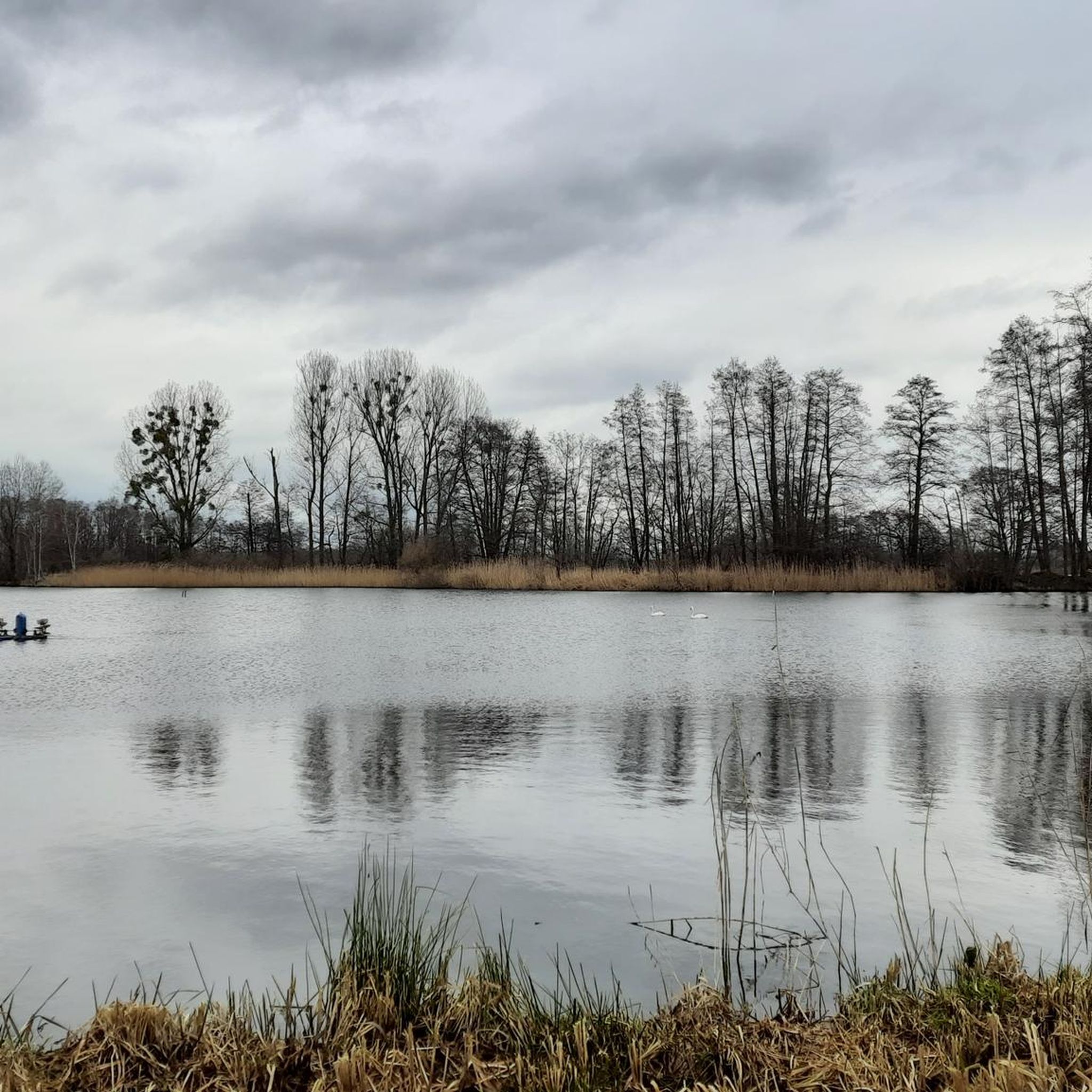
Idyllically situated ponds on the cycle path between Wittichenau and Hoyerswerda, which you can hike or cycle around. A visit to the fish restaurant near Zelders, unfortunately only open on Sundays, is highly recommended. Absolutely delicious and freshly prepared – a real treat!
0
0

No, as far as I know, not a "lost place." These facilities should still be usable.
0
0

Footbridge as a photo motif
0
0

beautiful paths around the lakes
0
0

The Neudorf ponds have existed for more than 500 years and have been maintained by the Dr. Zelder family for three generations. Carp, tench, pike and other freshwater fish are bred in the ponds.
0
0
Frequently Asked Questions
How many hiking trails are available in Dubringer Moor?
Dubringer Moor offers a selection of 17 hiking routes. The majority of these, 15 to be exact, are classified as easy, making the area accessible for various fitness levels. There are also 2 moderate trails for those seeking a bit more challenge.
What natural features can I expect to see while hiking in Dubringer Moor?
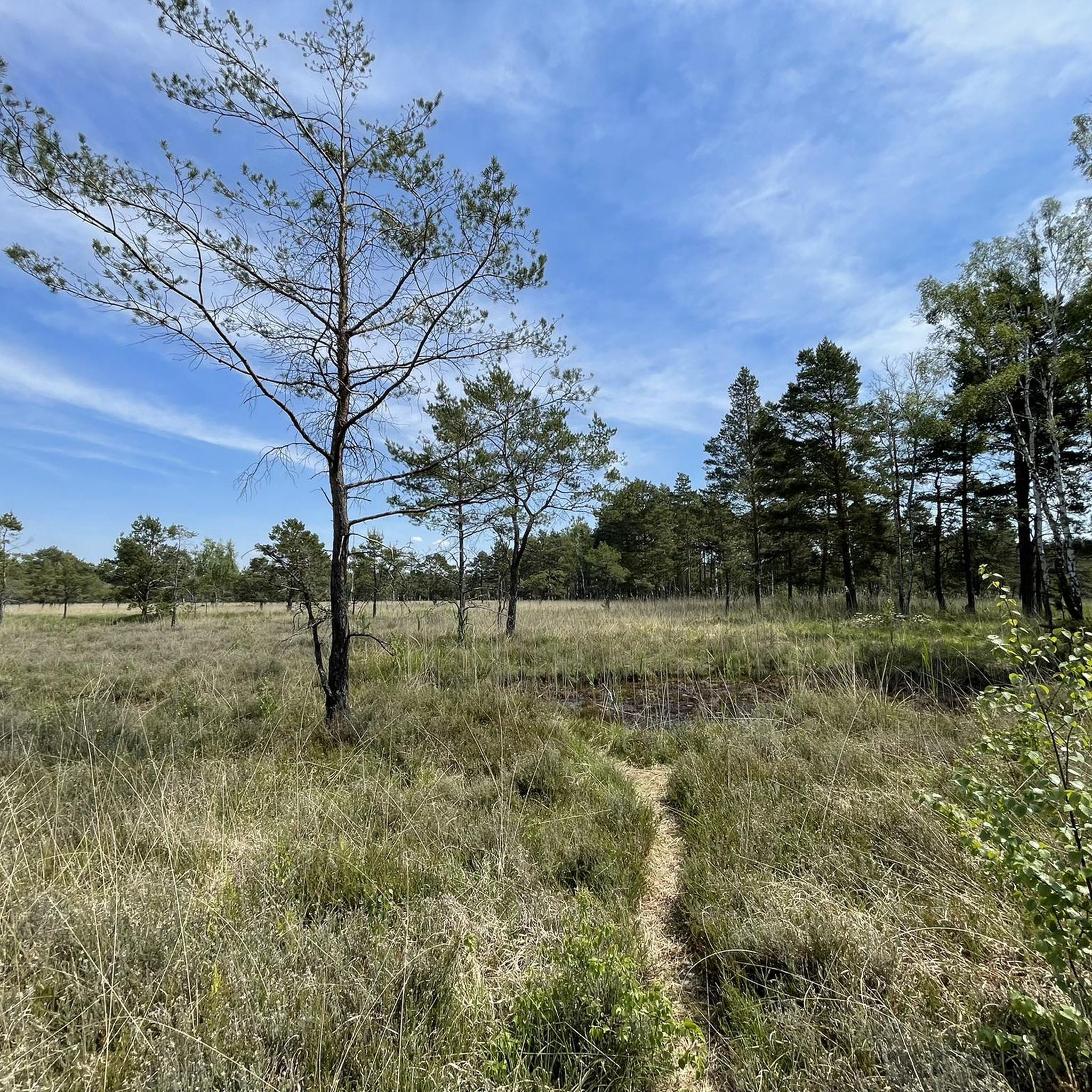
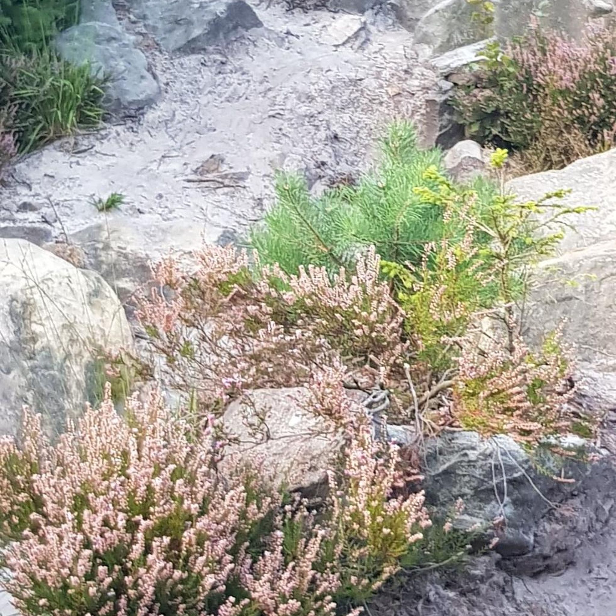
Dubringer Moor is characterized by its diverse natural landscapes. You'll encounter extensive mires and bogs, various forest types, wetlands, and reedbeds. A distinctive feature is the presence of numerous fish ponds, such as Zelder’s Ponds, which are active breeding grounds and important habitats for wildlife. The area is also home to special and rare plant species like carnivorous sundew, cranberry, and cotton grass meadows.
Are there any specific viewpoints or attractions in Dubringer Moor?
Yes, a major highlight for visitors is the Dubringer Moor Observation Tower, offering panoramic views over the moor and an excellent vantage point for birdwatching. For a closer look at the unique moorland environment, a wooden plank footbridge allows hikers to venture safely into sensitive areas.
What kind of wildlife can I spot in Dubringer Moor?
Dubringer Moor is a crucial breeding ground and habitat for a wide array of threatened bird species, making it a paradise for birdwatchers. You might observe species such as Common Snipe, White-tailed Eagle, European Stonechat, Red-backed Shrike, Common Crane, Common Kingfisher, Whooper Swan, Osprey, and Black Kite. The calls of the bittern and the croaking of frogs and toads also add to the natural symphony.
What is the best time of year to hike in Dubringer Moor?
The diverse ecosystems of Dubringer Moor offer unique experiences throughout the year. Spring and autumn are particularly beautiful for birdwatching and enjoying the changing colors of the landscape. However, hikers should be aware that some tracks can be muddy or flooded due to high water levels, especially after heavy rain or during wetter seasons. Always check local conditions before heading out.
Are there family-friendly hiking options in Dubringer Moor?
Yes, Dubringer Moor offers many easy trails suitable for families. The terrain is generally flat with minimal elevation changes, making it accessible for children. The presence of the observation tower and the wooden plank footbridge can also add an element of adventure and discovery for younger hikers.
Can I bring my dog on the trails in Dubringer Moor?
Dubringer Moor is a nature reserve, and while many trails are suitable for dogs, it's important to keep them on a leash to protect the sensitive ecosystem and wildlife. Always adhere to local signage regarding dog regulations.
Is there parking available near the hiking trails?
Car access is restricted inside the Dubringer Moor area to preserve its natural state. However, there are designated parking areas on the periphery from which you can access the trails by foot or bicycle. Specific parking information is usually available at the main access points to the reserve.
How can I reach Dubringer Moor using public transport?
While car access is limited within the moor, the area is generally accessible by public transport to nearby towns or villages. From there, you can often reach the main access points to the hiking trails by foot or bicycle. It's advisable to check local bus or train schedules to plan your journey.
Are there circular hiking routes in Dubringer Moor?
Yes, Dubringer Moor features several circular trails that allow you to explore the diverse landscape and return to your starting point. An example is the Zelder’s Ponds – Dubringer Moor Fish Restaurant loop, an easy 3.1 km route that takes you past picturesque ponds.
What do other hikers enjoy the most about hiking in Dubringer Moor?
The area is highly rated by the komoot community, with an average score of 4.6 stars from over 1000 reviews. Reviewers often praise the unique natural landscapes, the tranquility of the mires and bogs, and the excellent opportunities for birdwatching. The well-maintained trails and the observation tower are also frequently highlighted as positive aspects of the hiking experience.
Are there any longer hiking routes for more experienced hikers?
While most trails are easy, there are options for longer walks. For instance, the Krabat Circular Trail – Gazebo with a view of Wusteteich loop from Dörgenhausen is an easy 7.2 km route that offers a more extended exploration of the moorland environment.
Most popular routes around Dubringer Moor
Most popular attractions around Dubringer Moor

Get inspired with the komoot mobile app


Explore more
Browse the best Hikes in other regions.
