The best running trails around Tírvia
4.0
(2)
288
runners
26
runs
Jogging around Tírvia reveals a landscape characterized by significant elevation changes, with routes ascending to notable peaks and traversing river valleys. The region offers a mix of challenging mountain trails and more gentle paths along waterways. Runners can expect varied terrain, from high mountain passes to lower-lying areas near rivers.
Best jogging routes around Tírvia
- The most popular jogging route is Coll de So loop from Tírvia, a 15.0 miles (24.1 km) trail that takes 3 hours 53 minutes…
Last updated: July 4, 2026
34
runners
23.1km
03:46
1,450m
1,460m
Hard run. Very good fitness required. Mostly paved surfaces. Suitable for all skill levels.
4.0
(1)
27
runners
8.26km
01:03
170m
170m
Moderate run. Good fitness required. Mostly paved surfaces. Suitable for all skill levels.

Sign up for free
26
runners
44.9km
07:41
2,980m
2,980m
Hard run. Very good fitness required. Sure-footedness, sturdy shoes and alpine experience required.
17
runners
21.4km
03:22
1,000m
1,000m
Hard run. Very good fitness required. Sure-footedness, sturdy shoes and alpine experience required.
17
runners
7.17km
00:57
200m
200m
Moderate run. Good fitness required. Mostly paved surfaces. Suitable for all skill levels.
Get access to more routes and recommendations from other explorers.
Sign up for free
Already have an account?
Our route recommendations are based on thousands of hikes, rides, and runs completed by other people on komoot.
Start today with a free account
Your next adventure awaits.
Login or Signup
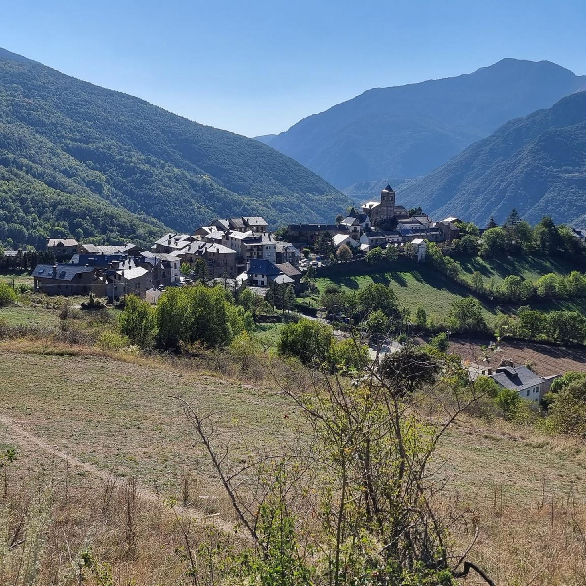
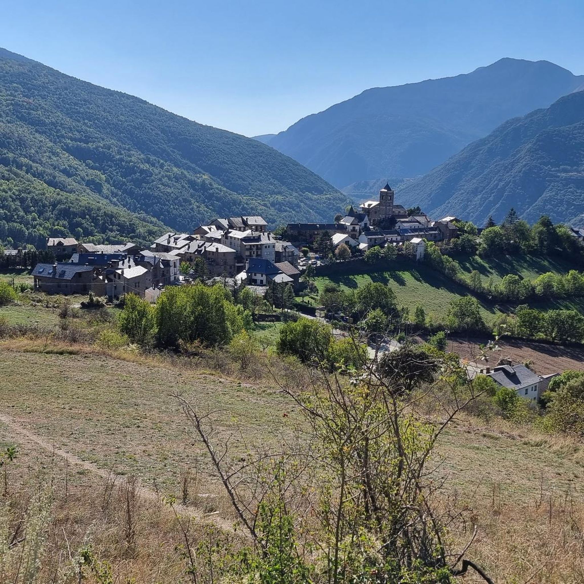

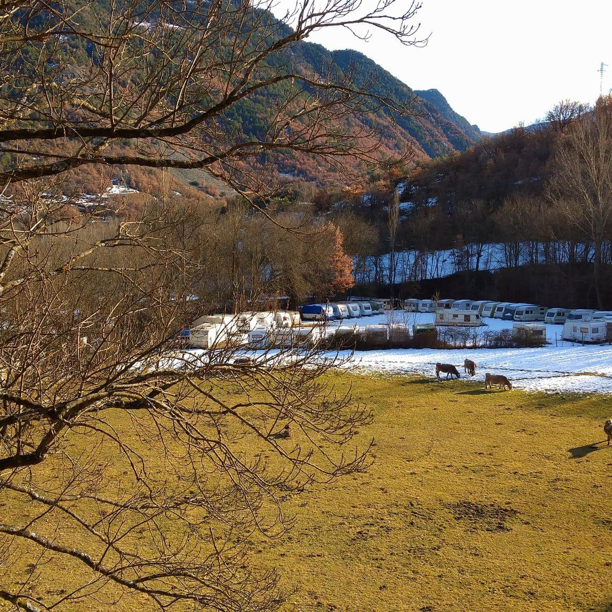
Tips from the Community


The Conflent Pass is an extraordinary natural viewpoint from which we can enjoy wonderful views. From the pass, if we follow the trail down towards the Santa Magdalena Valley (E), we would reach the Conflent huts, a place steeped in legends of smugglers and fugitives. Curiously, these huts are unique in that they are one of the few groups of Pyrenean huts that have a chapel. Also, near the Conflent Pass, we can visit two machine-gun nests. They are two of the many bunkers built by the Franco government at the end of the Spanish Civil War to combat the incursions of the Maquis. These bunkers are part of the so-called "Pyrenees Line," a group of nearly 10,000 fortifications and bunkers spread from Cap de Creus to the Basque Country.
0
0

Las Bordes de Nibrós is a small abandoned town, witness to the cattle life of yesteryear in these lonely valleys of the Pallars.
1
0


The church of Santa Maria de Ribera de Cardós has been transforming over the centuries. It is currently in the Baroque style and little remains of the appearance it had in the Romanesque period. Right next to it, we find the ''Creu de Terme'' of Ribera de Cardós (monumental cross, usually made of stone, which was located at the entrances of towns or monasteries) It is Gothic in style and was formerly at the entrance of the Valley of Cardós.
0
0
Pyrenean pass that is located at an altitude of 2,177.5 meters. There is a post Civil War bunker used to control smuggling with Andorra. (The Route of the Smugglers passes through there)
0
0
Mountain peak at 2,789 meters of altitude.
0
0

Frequently Asked Questions
Are there running routes suitable for beginners in Tírvia?
Yes, Tírvia offers a few easier options. For instance, the Running loop from Riu Noguera de Cardós is an easy 2.8-mile (4.5 km) trail that follows a river valley, perfect for a less strenuous run.
What is the typical length of running trails around Tírvia?
Running trails in Tírvia vary significantly in length. You can find shorter routes like the Running loop from Riu Noguera de Cardós at 2.8 miles (4.5 km), up to very challenging long-distance runs such as the Pico de Salòria loop from Tírvia, which spans 27.5 miles (44.2 km).
Are there many loop trails for jogging in Tírvia?
Yes, many of the running routes around Tírvia are designed as loops, allowing you to start and finish in the same location. Examples include the popular Llavorsí loop from Llavorsí and the more challenging Running loop from Bordes de Virós.
What kind of terrain can I expect on the running routes in Tírvia?
Tírvia's running routes feature varied terrain, from high mountain passes with significant elevation changes to more gentle paths along river valleys. You'll encounter a mix of challenging ascents and descents, as well as flatter sections, often on natural surfaces.
What do other runners enjoy most about jogging in Tírvia?
The running routes in Tírvia are highly rated by the komoot community, with an average score of 4.0 stars. Runners often praise the diverse landscape, from challenging mountain trails to scenic river paths, and the opportunity to experience significant elevation changes.
Are there any scenic viewpoints along the running trails in Tírvia?
Yes, the mountainous terrain around Tírvia offers several scenic viewpoints. For example, the View from Coll de So is a notable highlight that can be experienced on some of the longer routes.
What are some interesting places to see near the running routes in Tírvia?
Beyond the trails, you can explore several interesting sites. Consider visiting the Abandoned Village of Dorve, the historical Sant Joan de l'Erm Vell Ruins, or the serene Torrassa Reservoir. These attractions offer a glimpse into the region's natural beauty and history.
Are there any natural monuments or summits to explore while running in Tírvia?
Absolutely. The Tírvia area is rich in natural landmarks. You might encounter the Tudela Pass, the Lo Calbo Summit, or even the prominent Pico de Tudela on some of the more challenging mountain runs.
How many running routes are available in the Tírvia area?
There are over 20 running routes available in the Tírvia area, catering to various fitness levels and preferences. This includes a mix of easy, moderate, and difficult trails.
What is the best season for running in Tírvia?
Given the significant elevation changes and mountainous terrain, spring and autumn generally offer the most pleasant conditions for running in Tírvia, with milder temperatures. Summer can be warm, especially at lower elevations, while winter may bring snow and colder temperatures to higher mountain passes, requiring appropriate gear and caution.
Are there any less crowded running trails in Tírvia?
While some popular routes like the Coll de So loop from Tírvia attract many runners, the region's extensive network means you can often find quieter paths, especially on less-trafficked mountain trails or during off-peak hours. Exploring routes further from main villages can also lead to a more solitary experience.
Are there any running routes in Tírvia that follow a river?
Yes, some running routes in Tírvia follow river valleys, offering a scenic and often less strenuous experience. The Llavorsí loop from Llavorsí is a moderate 5.1-mile (8.3 km) path that follows a river, providing beautiful views and a refreshing atmosphere.
Most popular attractions around Tírvia

Get inspired with the komoot mobile app


Explore more
Browse the best Running Trails & Routes in other regions.
