The 15 Most Amazing Peaks around La Taha
Best mountain peaks around La Taha are found within a dramatic mountainous landscape in the Alpujarra Granadina region of Spain. This area is characterized by its position on the southern slopes of the Sierra Nevada, with elevations ranging from approximately 600 meters to over 2,400 meters above sea level. The region offers diverse terrain, from traditional agricultural terraces to rugged high-mountain environments. Visitors can explore a variety of natural features and traditional villages nestled within these ranges.
Best mountain peaks around La Taha
- The most popular mountain peaks is Hondera Lagoon, a lake and summit area known as one of the most beautiful places in the Sierra Nevada National Park. This idyllic lagoon serves as an ideal spot for a rest break or bivouac, and a starting point for the Mulhacén summit.
- Another must-see spot is Mecina Fondales, a settlement that offers tranquility and access to local trails. This small village is perfect for those seeking a peaceful experience and serves as a base for exploring the diverse landscapes and connecting to other villages in the La Taha region.
- Visitors also love Pico Veleta viewpoint, a viewpoint offering spectacular panoramic high-mountain views. From this location, one can see the Mediterranean Sea on clear days and enjoy views of Mulhacén, the highest peak on the peninsula.
- La Taha is known for its diverse range of mountain peaks, viewpoints, and high-altitude lakes. The region offers a variety of mountain peaks to see and explore, from challenging summits to scenic viewpoints and tranquil lagoons.
- The mountain peaks around La Taha are appreciated by the komoot community, with 112 upvotes and 172 photos shared by visitors.
Last updated: August 16, 2026
Mulhacén Summit
Highlight • Summit
Translated by Google •
Tip by

Hondera Lagoon
Highlight • Lake
Important note: if you plan to spend the night here, do not pitch your tent in the borreguiles (the grasslands). They are home to several species of flora endemic to the Sierra Nevada and it is necessary to protect them.
Translated by Google •
Tip by
Sign up now to discover places like this
Get recommendations on the best single tracks, peaks, & plenty of other exciting outdoor places.
Sign up for free
Mecina Fondales
Highlight • Settlement
The town hides several trails that take you to visit the rest of the towns in the La Taha region.
Translated by Google •
Tip by
Pico Veleta viewpoint
Highlight • Viewpoint
Tip by

Peñabón
Highlight • Summit
Tip by

Sign up for free to discover even more peaks around La Taha.
Sign up for free
Already have an account?
Start today with a free account
Your next adventure awaits.
Login or Signup
Popular around La Taha
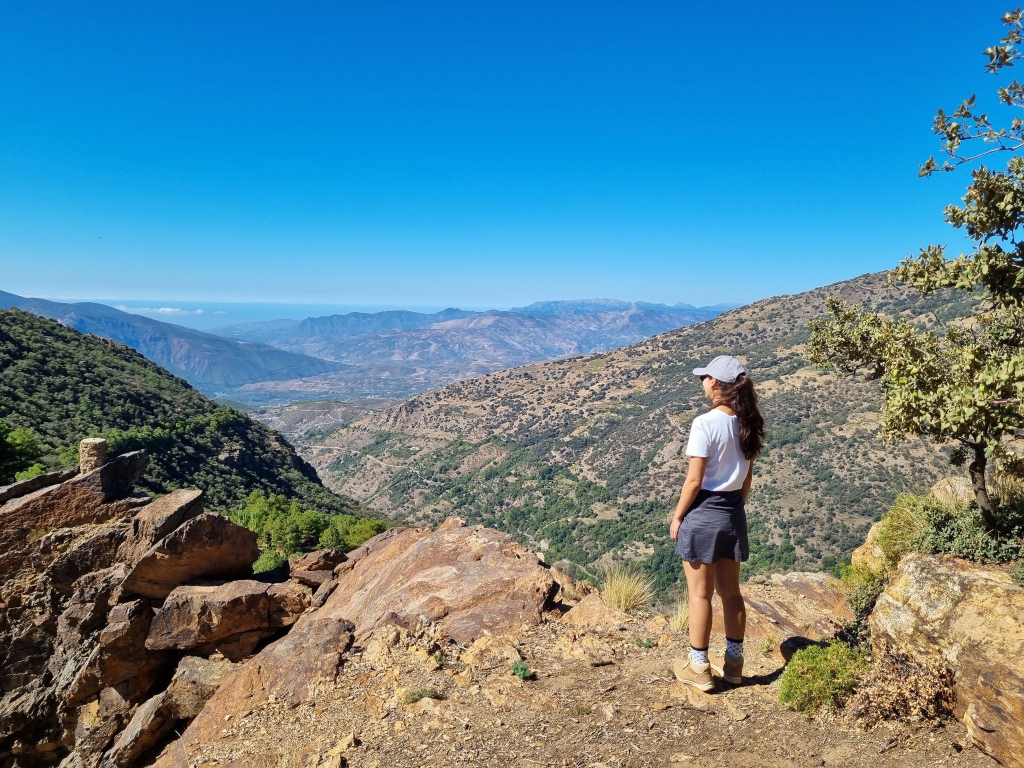
Lanjarón to Trevélez – five days in the Alpujarra of Granada

Andalusia without limits – Tarifa to La Puebla de Don Fabrique on the GR 7
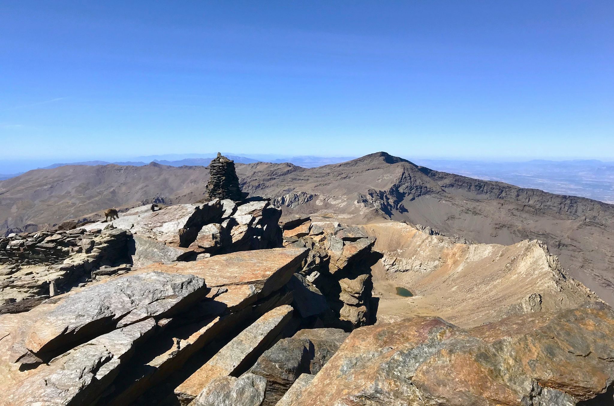
A night under the roof of the Iberian Peninsula – Mulhacén ascent
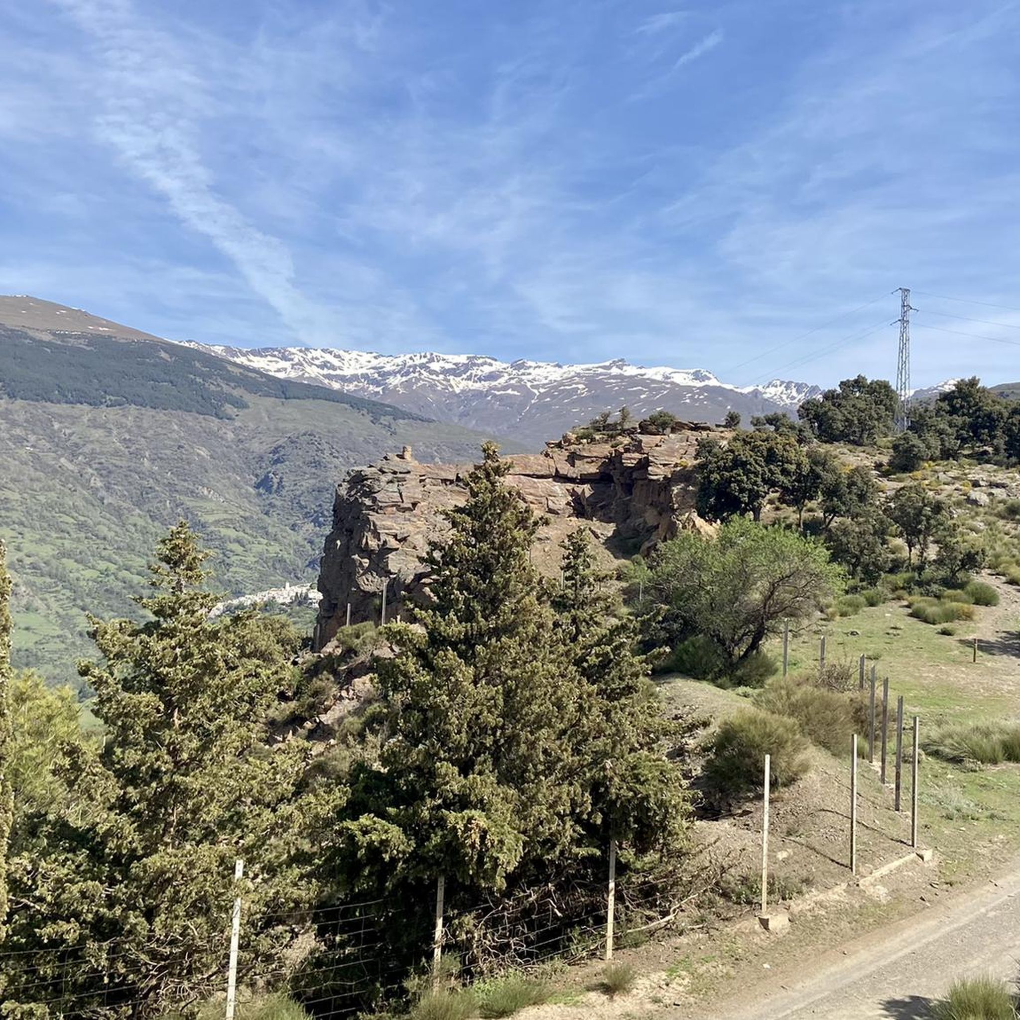
Hiking around La Taha
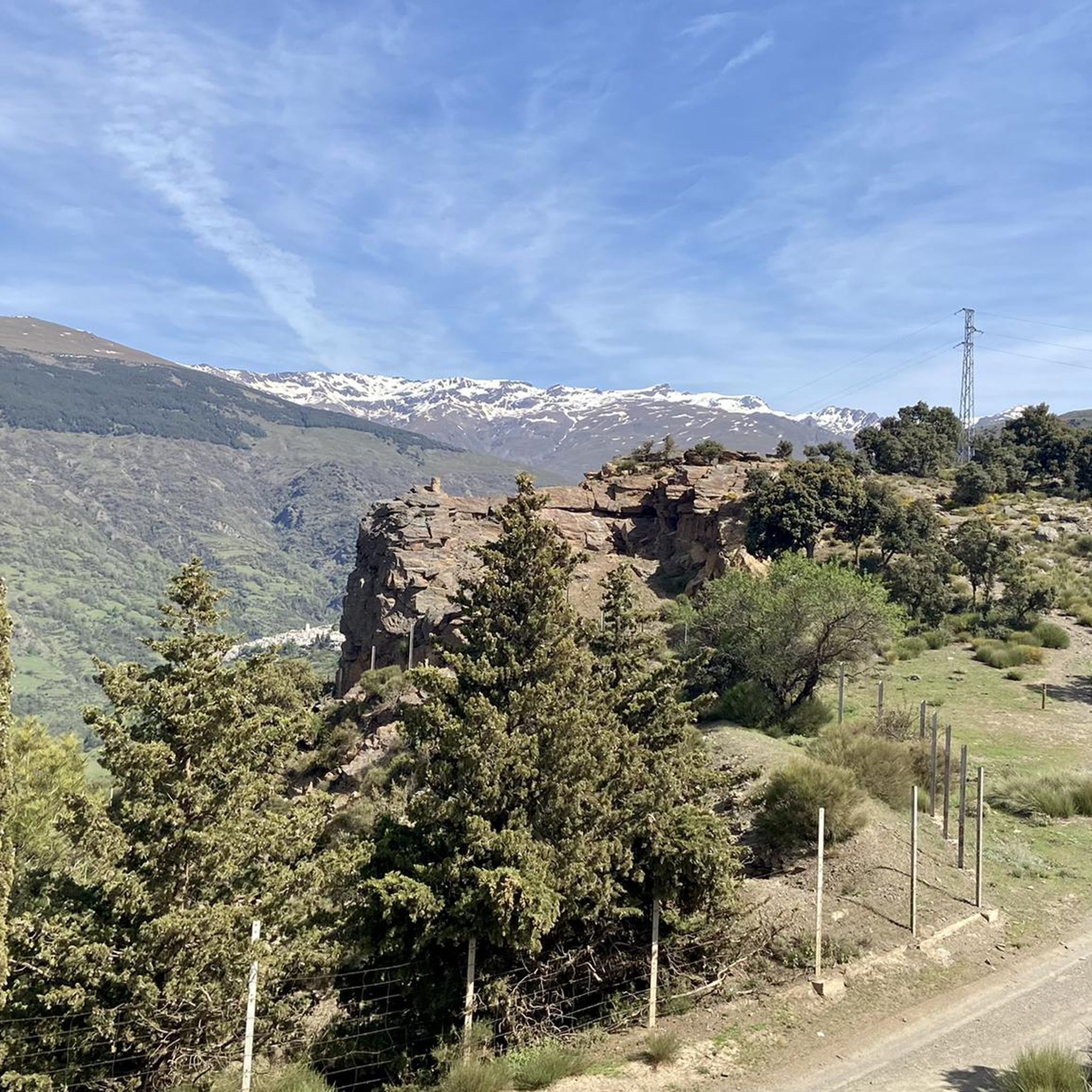
MTB Trails around La Taha
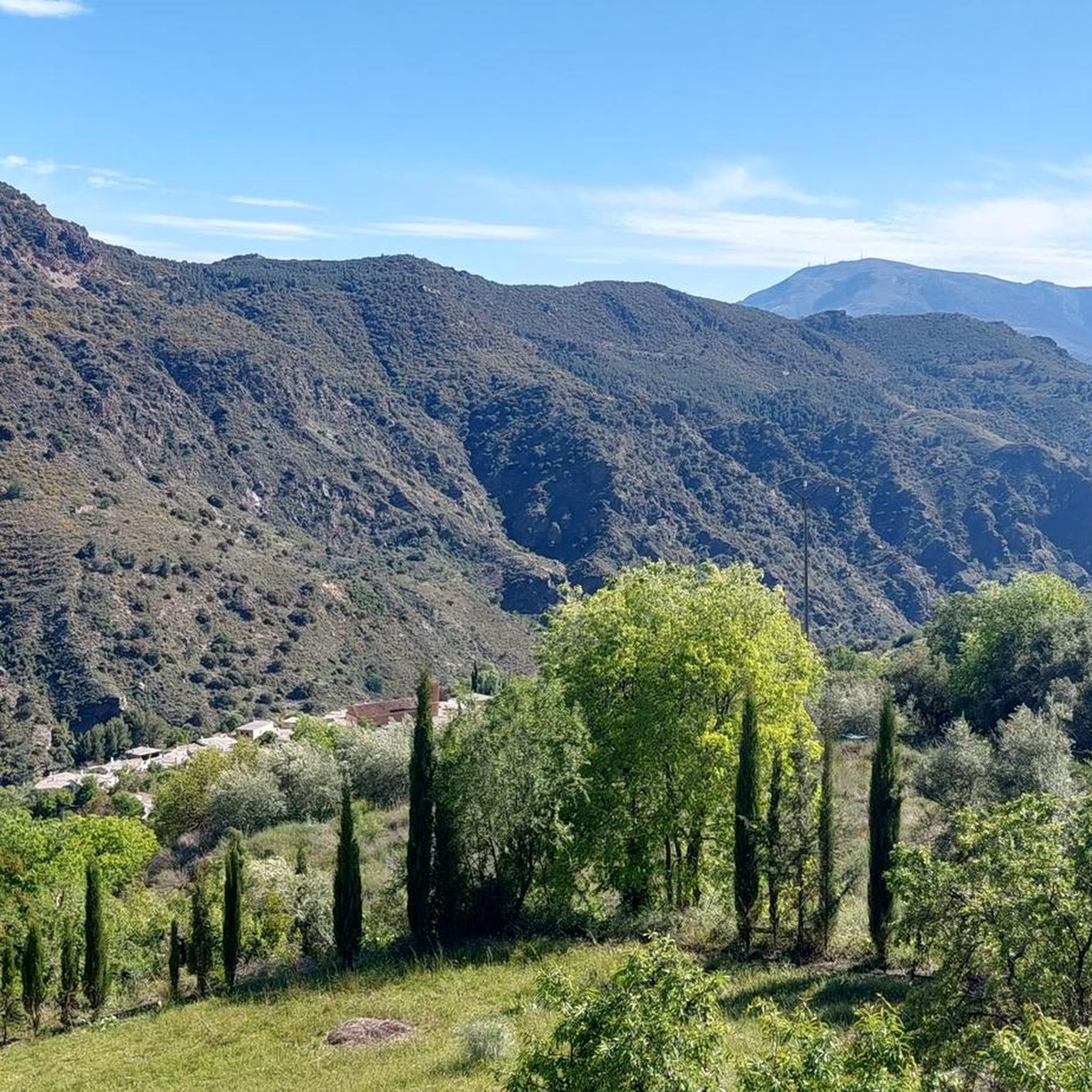
Road Cycling Routes around La Taha
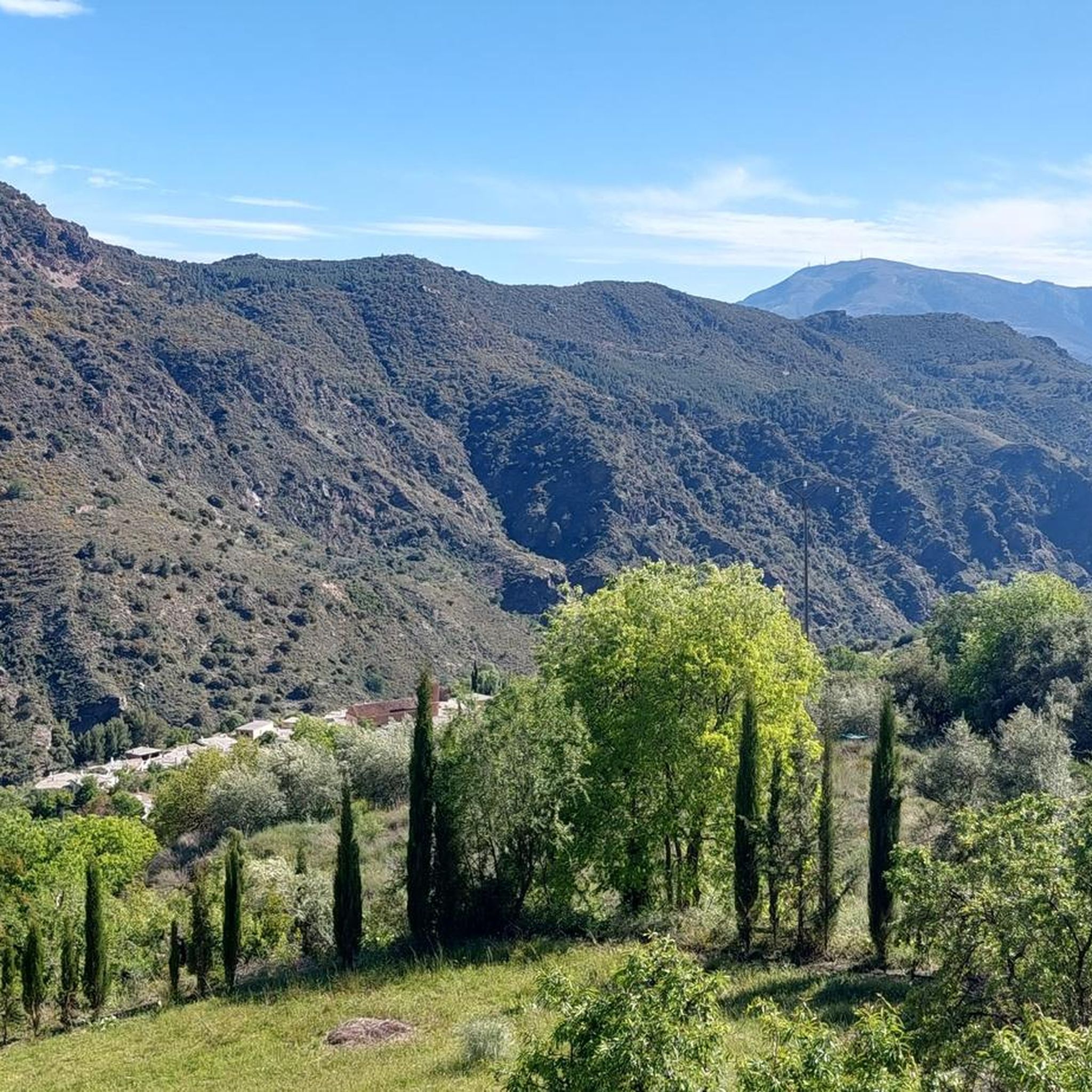
Running Trails around La Taha
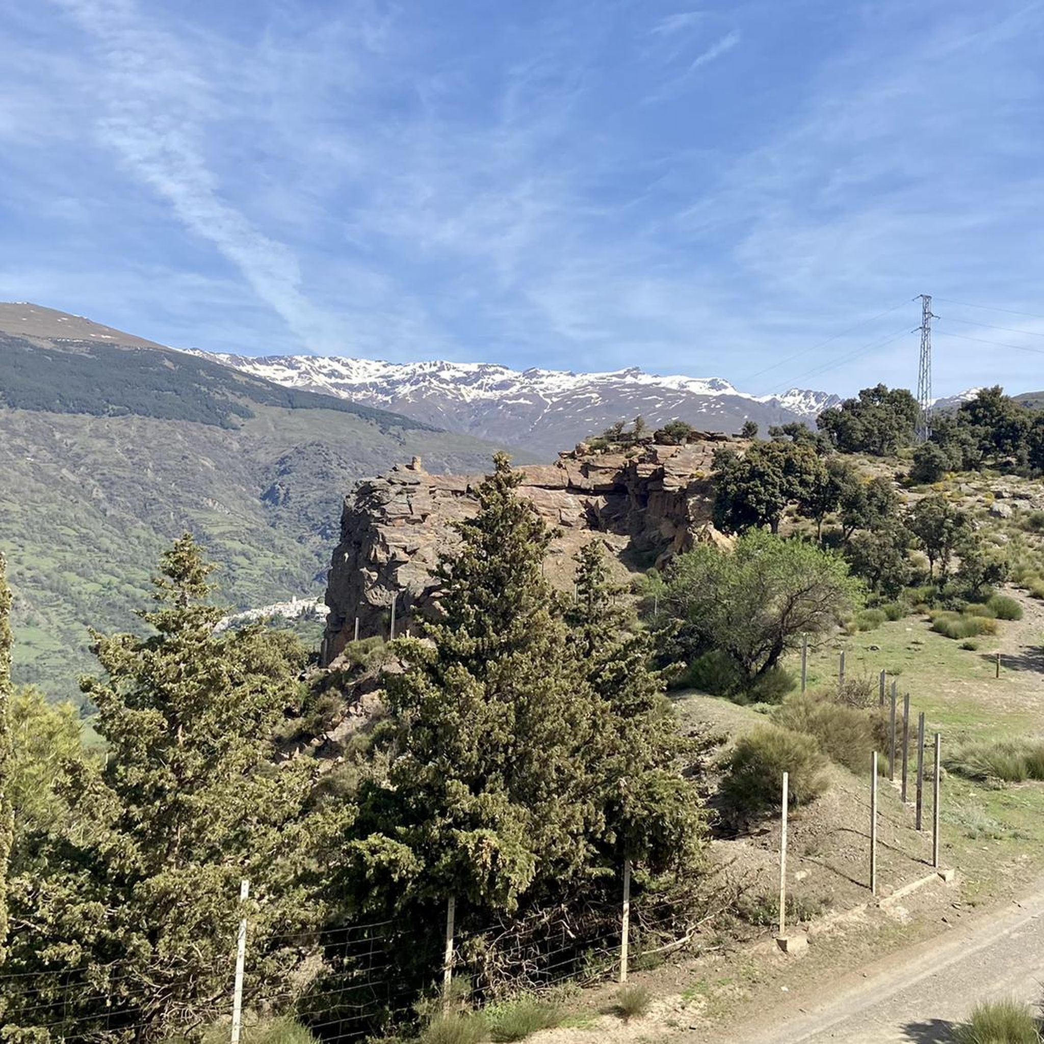
Cycling around La Taha

Mountain Hikes around La Taha
Other adventures around La Taha


Tips from the Community

This hike is really tough: -very poorly signposted -inaccurate komoot navigation -long, constant ascent, 560 meters of altitude gain -during the ascent, you have to climb a section on scree, for me even on hands and knees -the descent goes for a long time over scree, loose slate, along a very narrow path next to the ravine -we took 8 hours for it..(got lost for a bit and had to turn back to find the right path again) -tip: look for the 'stone men', so you can still orient yourself now and then
0
0

The Veleta Peak viewpoint, located in the Sierra Nevada mountains (Granada), is one of the most spectacular spots to enjoy panoramic high-mountain views on the Iberian Peninsula. From the summit of Veleta you can enjoy: Views of the Mediterranean Sea on clear days. Panoramic views of Mulhacén, the highest peak on the peninsula. High-mountain landscapes with rock formations, snow (in winter), and native flora.
2
0

No problem at all with the north way, really nice landscape; 1h30 in running
2
0


The trail is pretty easy to find until you get to the waterfalls. To reach Laguna Hondera you must climb up beside the first waterfall. That is between the two waterfalls. There are cairns on the path but it’s quite easy to miss them amongst the other routes up there. It’s a beautiful location. We saw a few ibex but only 2 other hikers!
1
0

The area of the Seven Lagoons (and Laguna Hondera in particular) is one of the most beautiful places in the Sierra Nevada National Park. The climb up here next to the waterfall formed by the Chorreras Negras is demanding, but all the pain in your legs is forgotten as soon as you reach the top and see the beauty of the place. Important note: if you plan to spend the night here, do not pitch your tent in the borreguiles (the grasslands). They are home to several species of flora endemic to the Sierra Nevada and it is necessary to protect them.
4
0
Although it is somewhat larger than neighboring Mecinilla and Fondales, Mecina is still a small village perfect for those seeking tranquility. The town hides several trails that take you to visit the rest of the towns in the La Taha region.
2
1

A hiking route through the town of Medina fondales, we left the car on the road next to said town and began to go down towards an old mill located on an old Roman bridge over the Trevelez river, a fabulous descent through a small boulevard that in some times It must carry a lot of water, we can see the bridge and what remains of the mill and we go back up where we came down from this same bridge. If we wanted, we could get to Orgiva to the right and to the left to the portichuelo de castaras. the slips.
2
0
Frequently Asked Questions
What are the most notable mountain peaks and features around La Taha?
While La Taha itself is nestled within a dramatic mountainous landscape, the region is defined by the majestic Sierra Nevada to the north, featuring peaks like Mulhacén Summit and Pico Veleta viewpoint. To the south and east, the Sierra de Mecina and Contraviesa mountains offer a different kind of beauty with rolling hills and agricultural terraces.
Are there family-friendly mountain walks in the La Taha region?
Yes, the La Taha region offers options suitable for families. The settlement of Mecina Fondales is considered family-friendly and provides access to local trails connecting the charming villages of La Taha. The Sierra de Mecina also offers less strenuous but rewarding walks amidst traditional agricultural terraces.
What kind of natural features can I expect to see when exploring the mountains around La Taha?
You can encounter a diverse range of natural features. The high Sierra Nevada boasts impressive peaks, rock formations, and high-altitude lakes like Hondera Lagoon. Lower down, you'll find ancient chestnut trees, traditional terraced fields, rivers, and springs, especially in the Sierra de Mecina and Contraviesa mountains.
What are the best times to visit the mountain peaks around La Taha?
The region offers different experiences depending on the season. Summer months are ideal for high-altitude hiking in the Sierra Nevada, though it can be very hot. Spring and autumn provide milder temperatures, perfect for exploring the lower ranges like Sierra de Mecina and Contraviesa. Winter offers opportunities for snow activities in the Sierra Nevada, but requires appropriate precautions due to rapidly changing weather conditions.
What outdoor activities can I do near the mountain peaks of La Taha?
The area is excellent for various outdoor activities. You can enjoy hiking on trails like the La Tahá Circular Trail or the Pitres - Acequia Gorda - Pórtugos Trail. For mountain biking, explore routes such as the Transnevada Route H or J. Road cyclists can tackle challenging loops like the Trevélez and Cáñar Alpujarras Loop. Find more details on these activities in the hiking, MTB, and road cycling guides for La Taha.
Are there challenging climbing routes or advanced hikes in the La Taha area?
Yes, for experienced hikers and climbers, the Sierra Nevada offers challenging routes. Ascending Mulhacén Summit, the highest peak in mainland Spain, is a demanding endeavor. The climb to Hondera Lagoon, especially next to the Chorreras Negras waterfall, is also considered demanding. Always treat these high mountains with respect and take appropriate precautions.
What are the best viewpoints for panoramic scenery around La Taha?
For spectacular high-mountain views, the Pico Veleta viewpoint is unparalleled, offering vistas of the Mediterranean Sea on clear days and Mulhacén. From almost anywhere in La Taha, you'll be treated to expansive views of the Trevélez valley and the majestic Sierra Nevada, as well as the closer Sierra de Mecina and Contraviesa ranges.
Can I find traditional villages and cultural experiences while exploring the mountains?
Absolutely. The villages of La Taha, such as Pitres, Mecina, Mecinilla, Fondales, and Ferreirola, are built into the slopes and retain a traditional urban structure with narrow streets and whitewashed facades. Hiking through these areas, including settlements like Mecina Fondales, provides a deep dive into the unique culture and history of the Alpujarra.
What is the highest point accessible from the La Taha region?
The highest point accessible and visible from the La Taha region is Mulhacén Summit, which stands at 3,479 meters (11,414 ft). While not within La Taha's municipal limits, its imposing presence in the Sierra Nevada National Park makes it an integral part of the mountain experience for visitors.
Are there any specific trails or paths that offer a glimpse into the region's history?
Yes, the region is crisscrossed by several marked trails, including sections of the GR-142 long-distance route and local paths. The medieval trails, known as 'Escarihuelas,' are particularly notable, offering a glimpse into the region's history as they connect settlements with breathtaking views.
What are the main differences between the Sierra Nevada and the Contraviesa mountains near La Taha?
The Sierra Nevada, to the north, features the highest peaks in mainland Spain, offering challenging, high-altitude terrain and dramatic panoramic views. The Contraviesa mountains, to the south and east, are characterized by rolling scenery, vineyards, and a milder climate, providing a different mountain experience focused on agricultural landscapes and traditional villages.
What do visitors enjoy most about the mountain peaks around La Taha?
Visitors frequently appreciate the stunning panoramic views, especially from spots like Pico Veleta viewpoint, and the tranquility found in places like Hondera Lagoon. The blend of challenging high-mountain adventures and peaceful walks through traditional villages like Mecina Fondales, combined with the rich biodiversity, makes the region a beloved destination.
Most popular routes around La Taha
Most popular attractions around La Taha

Get inspired with the komoot mobile app


Explore more
See even more amazing summits around La Taha with these guides:
