The best mountain hikes around La Taha
4.8
(4)
35
hikers
3
hikes
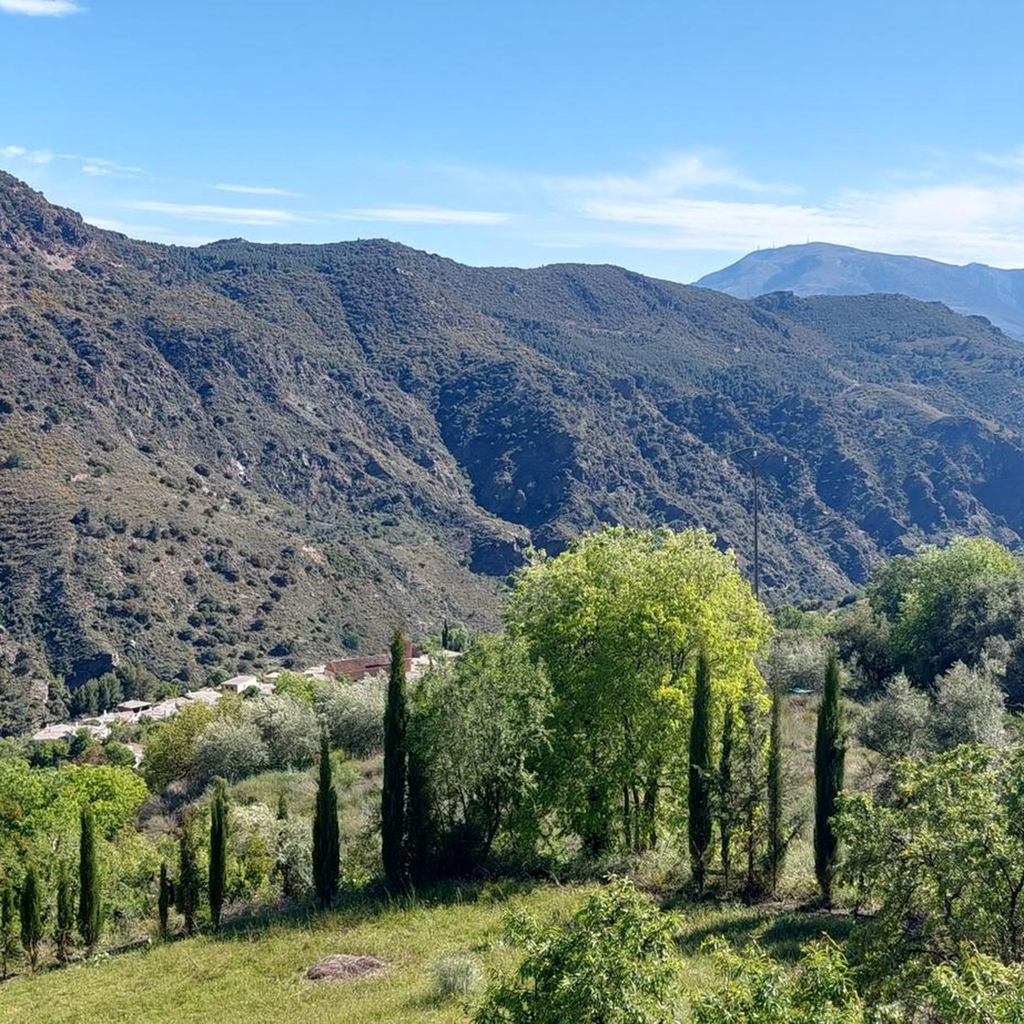
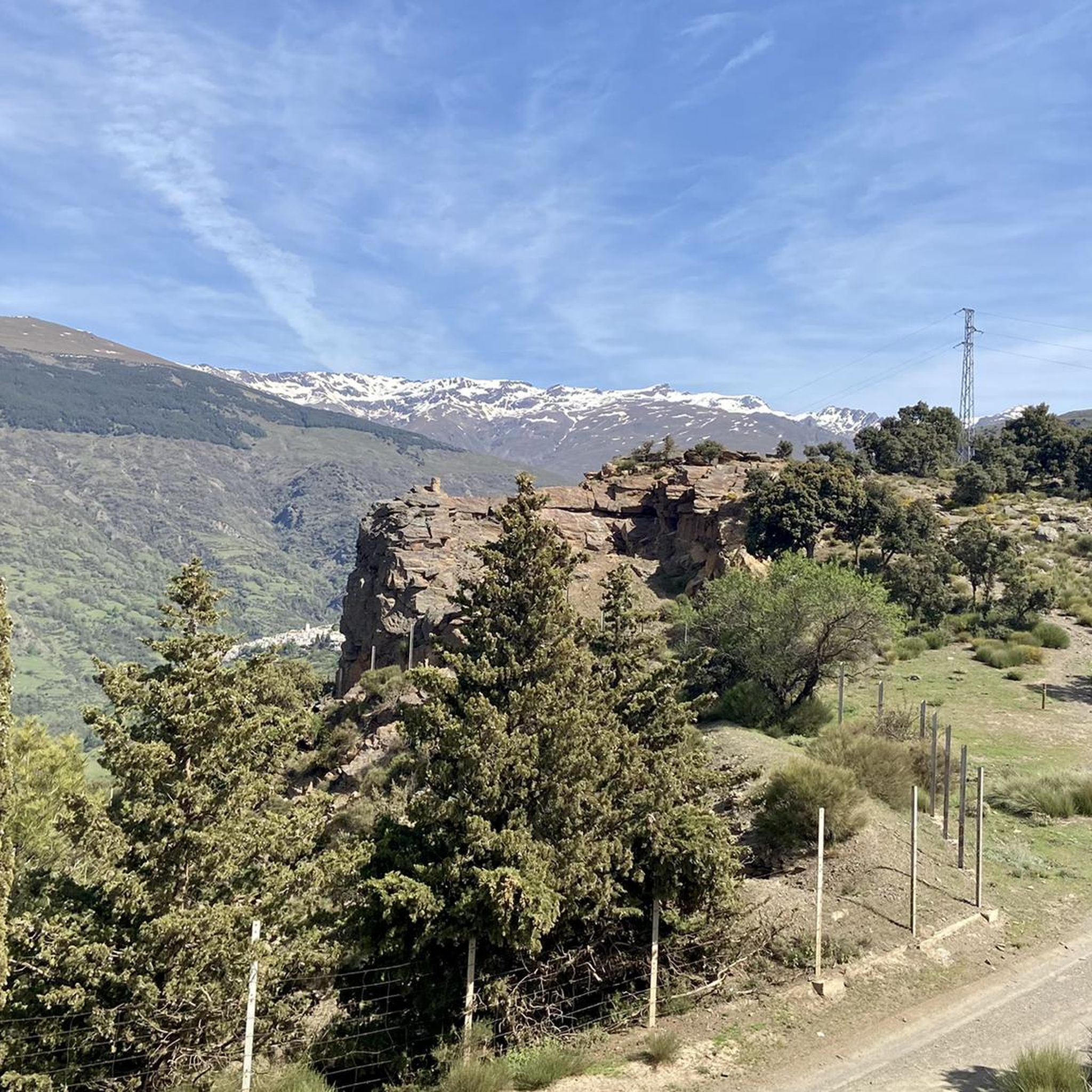
Mountaineering routes around La Taha traverse a landscape characterized by the southern slopes of the Sierra Nevada mountains, offering access to high-mountain trails. The region features dramatic topography with altitudes ranging from approximately 600 meters to over 2,400 meters above sea level, shaped by river valleys like the Trevélez and Bermejo. Ancient terraced fields blend with lush valleys, ancient chestnut and olive groves, and fragrant forests of pine and green oak. This area provides challenging excursions through its interior, showcasing…
Last updated: October 7, 2026
4.7
(3)
20
hikers
13.6km
06:35
1,000m
990m
Hard mountaineering route. Very good fitness required. Sure-footedness, sturdy shoes and alpine experience required.
7
hikers
18.1km
08:40
1,430m
1,420m
Hard mountaineering route. Very good fitness required. Sure-footedness, sturdy shoes and alpine experience required.

5.0
(1)
8
hikers
10.3km
04:07
580m
570m
Moderate mountaineering route. Good fitness required. Mostly accessible paths. Sure-footedness required.
Our route recommendations are based on thousands of hikes, rides, and runs completed by other people on komoot.
Start today with a free account
Your next adventure awaits.
Popular around La Taha
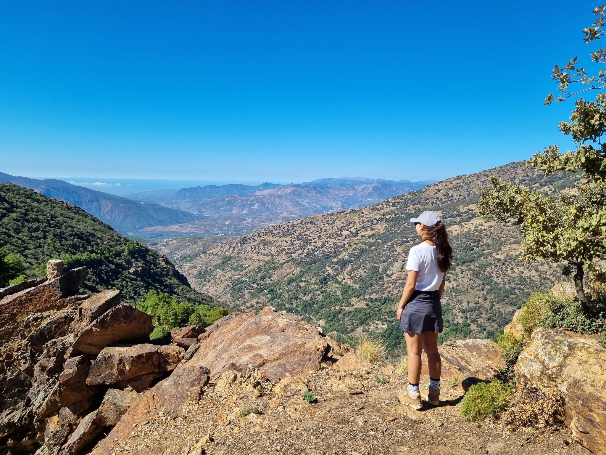
Lanjarón to Trevélez – five days in the Alpujarra of Granada

Andalusia without limits – Tarifa to La Puebla de Don Fabrique on the GR 7
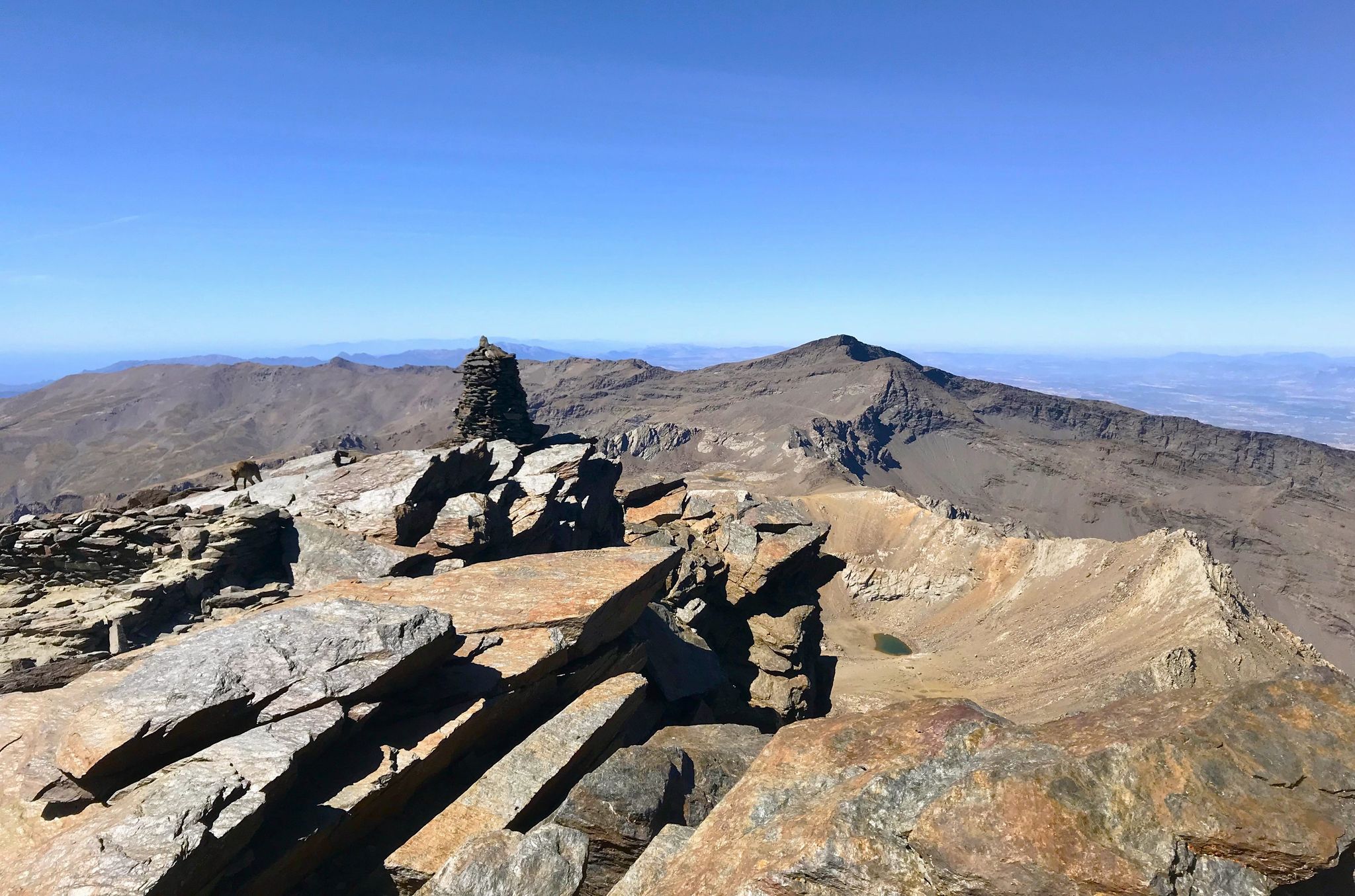
A night under the roof of the Iberian Peninsula – Mulhacén ascent
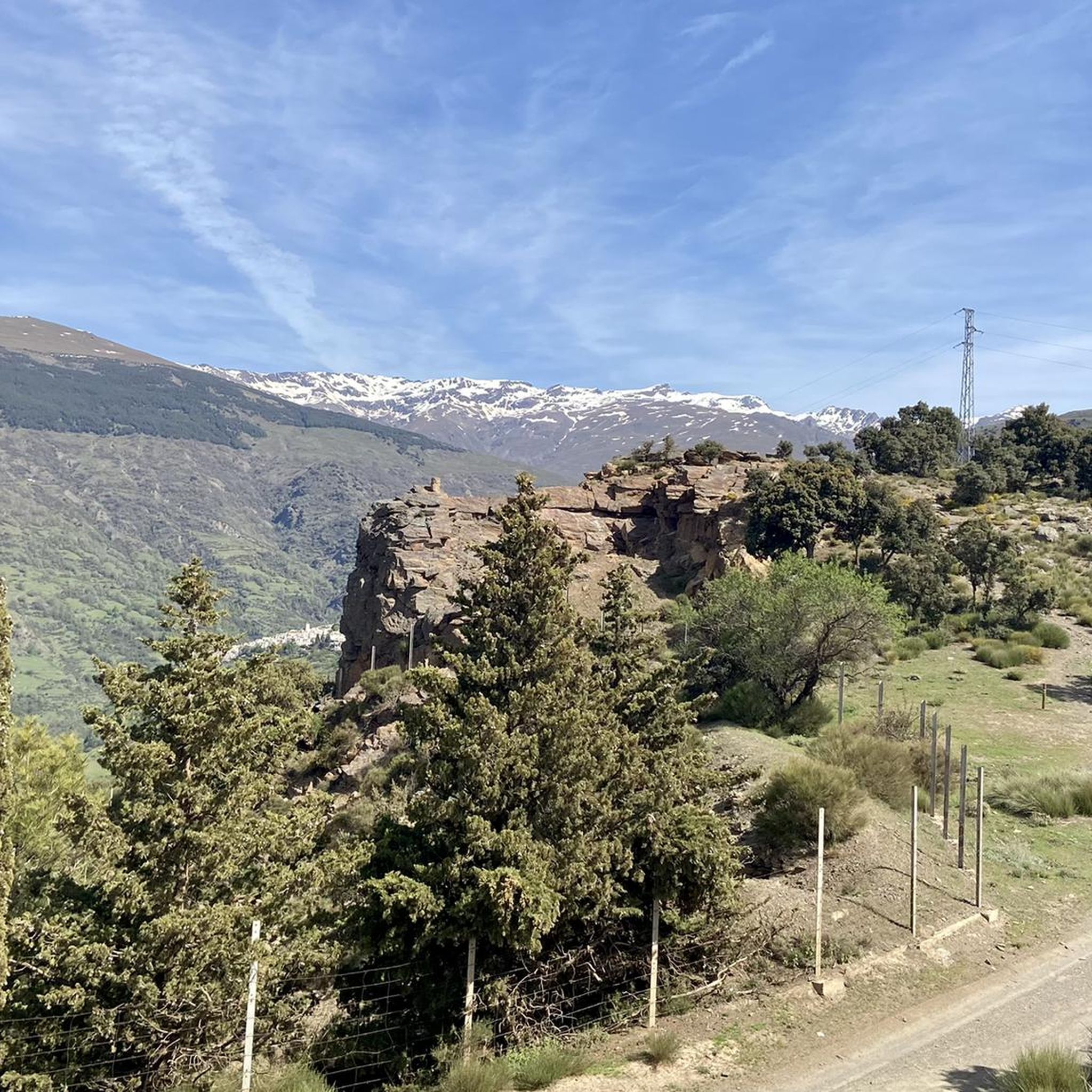
Hiking around La Taha
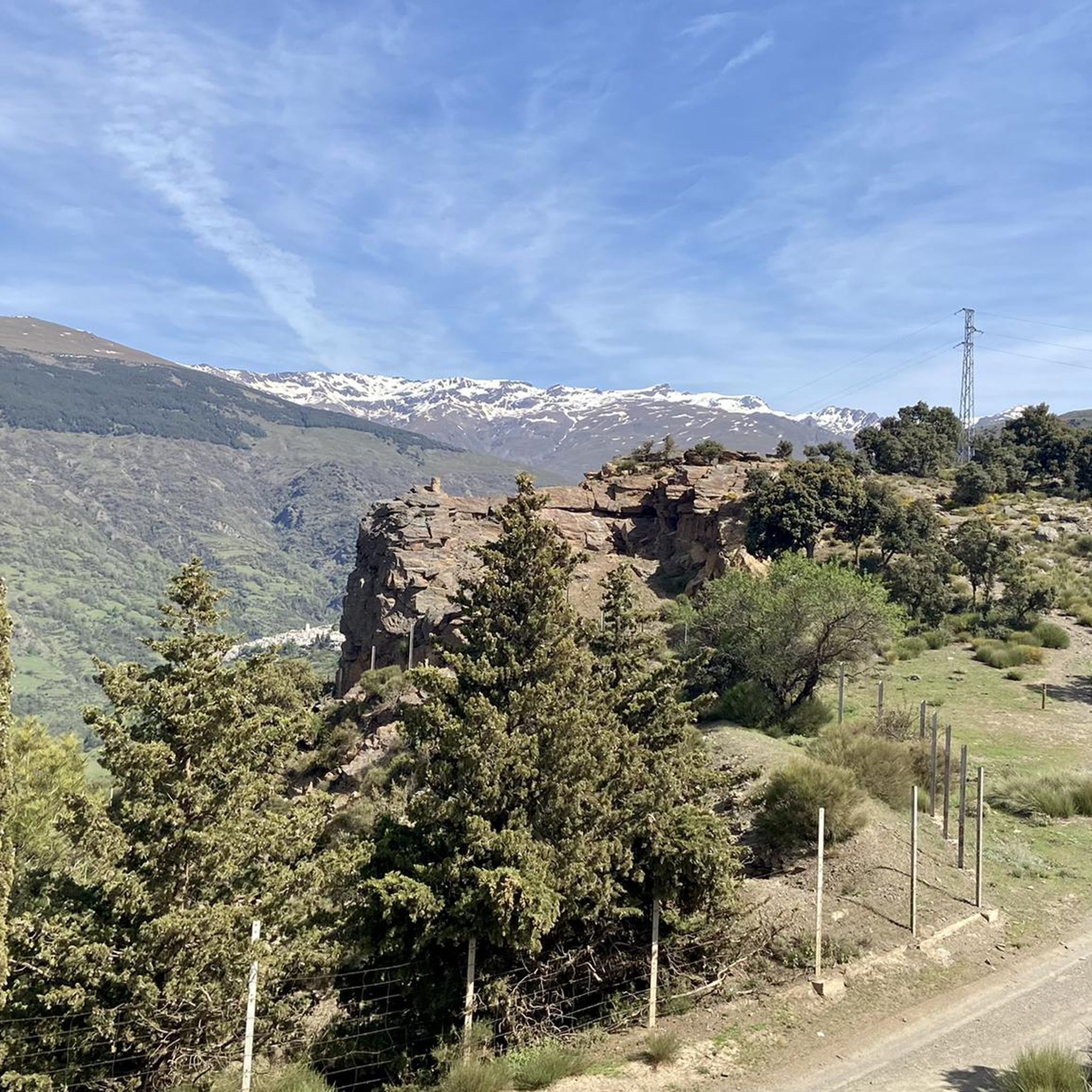
MTB Trails around La Taha
Road Cycling Routes around La Taha
Running Trails around La Taha
Cycling around La Taha
Other adventures around La Taha


Tips from the Community

El Poqueira is the king of this part of the Alpujarra and responsible for many of the landscapes in this area. Crossing this bridge is an unmistakable sign that you are already close to Capileira.
1
0

Always magnificent views on the hike to the two highest mountains in the Sierra Nevada - Veleta 3396 m and Mulhacen 3479 m.
0
0
In Trevélez, everything revolves almost exclusively around the air-dried Ibero ham produced here, which is known throughout Spain.
0
0

What to see in Pampaneira Liberty Square The town's central hub, with bars, craft shops, and the tourist office. Church of the Holy Cross Built in the Mudéjar style in the 16th century on the site of a former mosque. Fountain of Saint Anthony ("La Chumpaneira") Famous for its legend: whoever drinks from it will find a partner. It's located next to the church. Traditional streets Such as Silence Street or Veronica Street, with Berber architecture, covered walkways, and terraced roofs. Chocolate Factory A delightful place to visit and buy handcrafted products.
6
0
Pampaneira, located in the heart of the Alpujarra region of Granada, is one of the most beautiful villages in Spain. Surrounded by the Poqueira Gorge and next to Bubión and Capileira, it offers a unique experience of traditional architecture, nature, crafts, and gastronomy.
6
0

Beautiful route...good fitness and the summit is doable.
0
0

beautiful view of the mountain village of Pampaneira
2
0
Frequently Asked Questions
What types of mountaineering routes can I find in La Taha?
La Taha offers a variety of mountaineering routes, ranging from moderate to difficult. The landscape is characterized by lush, elevated terrain, deep valleys, and ascending slopes within the Sierra Nevada National Park. You'll find challenging excursions through wild landscapes, with routes like the difficult Mulhacén Summit – Mulhacén Peak loop from Refugio Poqueira, which is 13.6 km long, or the moderate Mirador del Perchel loop from Pampaneira, covering 10.6 km.
Are there any circular mountaineering routes in La Taha?
Yes, La Taha features several circular mountaineering routes. For instance, the Mulhacén Summit – Mulhacén Peak loop from Refugio Poqueira offers a challenging circular ascent to a prominent peak. Another option is the Hondera Lagoon loop from Trevélez, which is a difficult 17.9 km trail leading through high mountain passes and past the scenic Hondera Lagoon. For a moderate option, consider the Mirador del Perchel loop from Pampaneira.
What are some notable natural attractions or landmarks along the mountaineering routes?
Mountaineering in La Taha offers access to several stunning natural attractions. You can reach the iconic Mulhacén Summit, Spain's highest peak, or discover the serene Hondera Lagoon. The region is also home to impressive gorges, such as the Path through the Trevélez Gorge, where you might encounter the Tajo de Cortés Waterfall. Keep an eye out for the unique Pico Veleta viewpoint for panoramic vistas.
Are there any waterfalls to see while mountaineering in La Taha?
Yes, the region's river valleys and ravines mean there are water features to discover. One notable waterfall is the Tajo de Cortés Waterfall, which can be found in the area's gorges. The Río Trevélez also carves a spectacular gorge, offering opportunities to see various streams and cascades.
What do other mountaineers say about the routes in La Taha?
The mountaineering routes in La Taha are highly regarded by the komoot community, holding an average rating of 5.0 stars from over 2 reviews. Mountaineers often praise the challenging ascents, the stunning high mountain terrain, and the opportunity to explore wild landscapes with diverse flora and fauna.
What kind of vegetation and wildlife can I expect to see?
La Taha boasts lush valleys, ancient chestnut and olive groves, and fragrant forests of pine and green oak. The air is often scented with thyme, rosemary, oregano, and lavender. In terms of wildlife, being part of the Sierra Nevada National Park, hikers might spot ibex, especially on higher mountain trails.
Are there any villages or settlements that serve as good starting points or resting spots?
Yes, the municipality of La Taha consists of several charming, whitewashed villages that are excellent starting points or resting spots. These include Pitres (the administrative center), Capilerilla, Mecina Fondales (comprising Mecina, Mecinilla, and Fondales), Ferreirola, and Atalbéitar. These villages offer traditional architecture and narrow streets, providing a glimpse into a bygone era.
What is the typical duration for a mountaineering route in La Taha?
The duration of mountaineering routes in La Taha varies depending on their difficulty and length. For example, the difficult Mulhacén Summit – Mulhacén Peak loop from Refugio Poqueira typically takes around 6 hours and 35 minutes to complete. A longer, difficult route like the Hondera Lagoon loop from Trevélez can take approximately 8 hours and 33 minutes. Moderate routes, such as the Mirador del Perchel loop from Pampaneira, are generally shorter, taking about 4 hours and 11 minutes.
Are there any long-distance footpaths that pass through La Taha?
Yes, the renowned GR7 long-distance footpath, which stretches from Greece to Spain, passes directly through the municipality of La Taha. This offers opportunities for extended trekking and connects to a wider network of trails.
What are the altitude ranges for mountaineering in La Taha?
La Taha is situated on the southern slopes of the Sierra Nevada mountains, with altitudes ranging significantly. You can expect to find trails starting from approximately 600 meters and ascending to over 2,400 meters above sea level, offering access to high-mountain trails and dramatic topography.
What are the characteristics of the trails in La Taha?
The trails in La Taha are part of an extensive network, including ancient medieval paths locally known as "Escarihuelas." These paths are often well-signposted and connect various settlements. You'll encounter diverse terrain, from terraced fields to lush valleys, and challenging high-mountain sections, some of which can be technical and exposed.
Most popular attractions around La Taha

Get inspired with the komoot mobile app


Explore more
Browse the best Mountain Hikes & Routes in other regions.
