The best mountain hikes around Binissalem
4.9
(111)
345
hikers
5
hikes
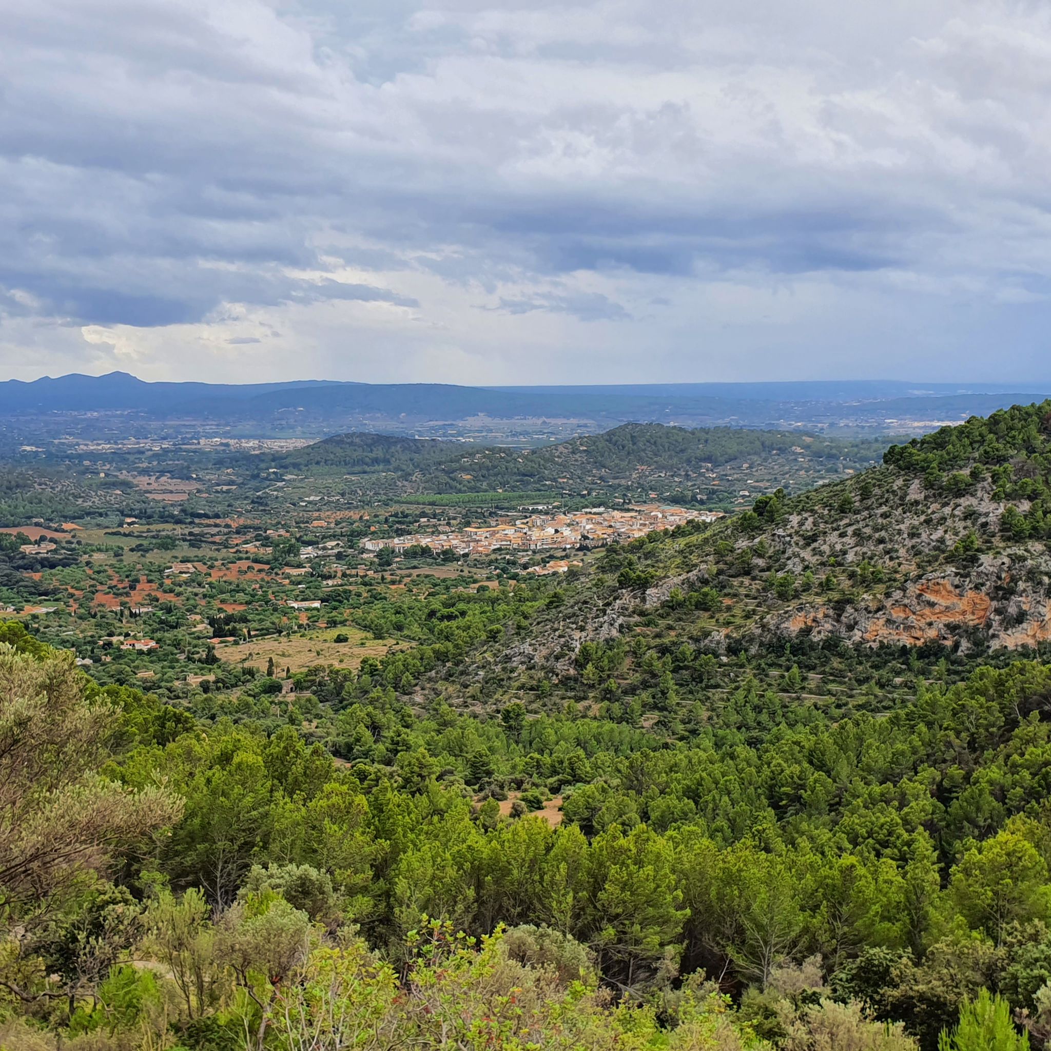
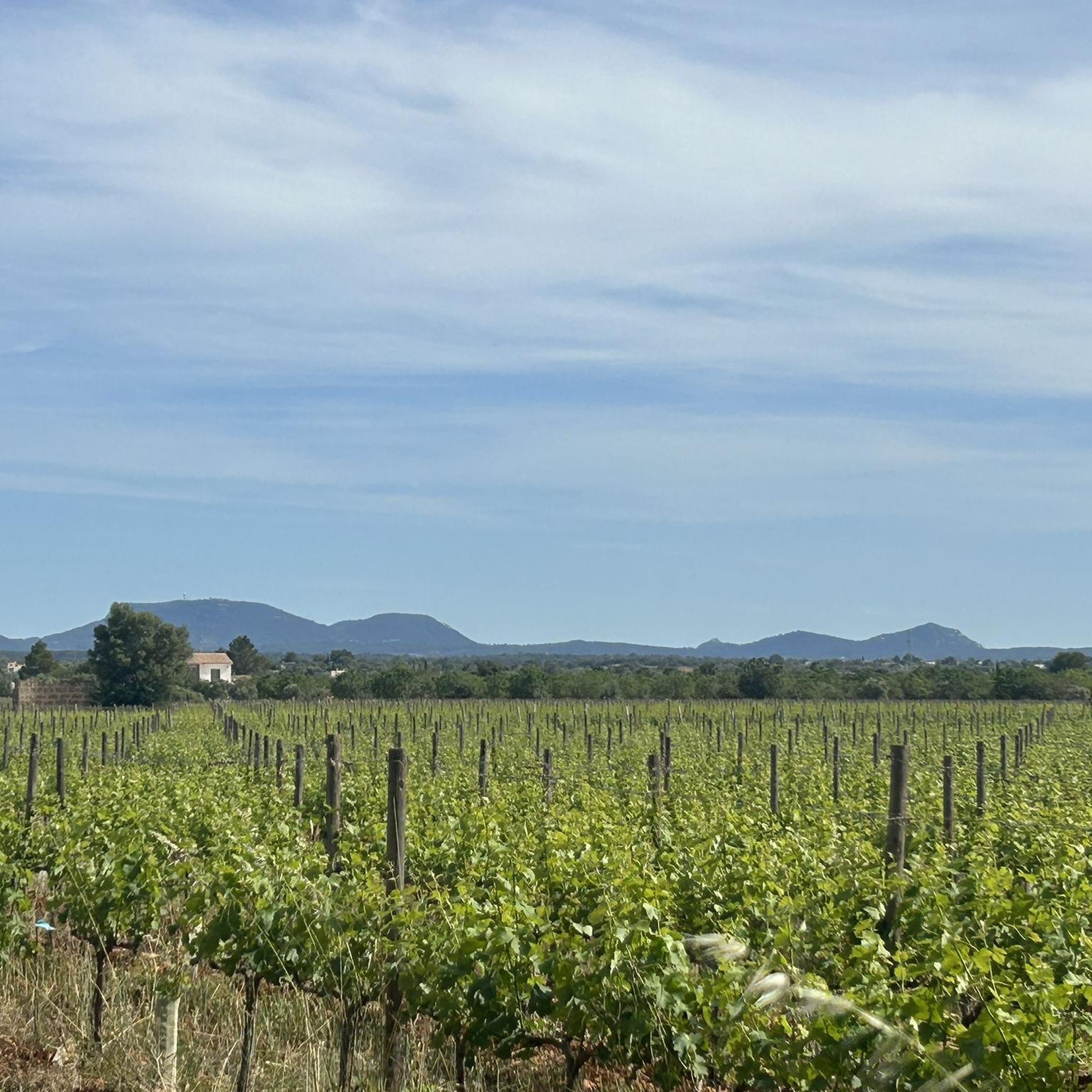
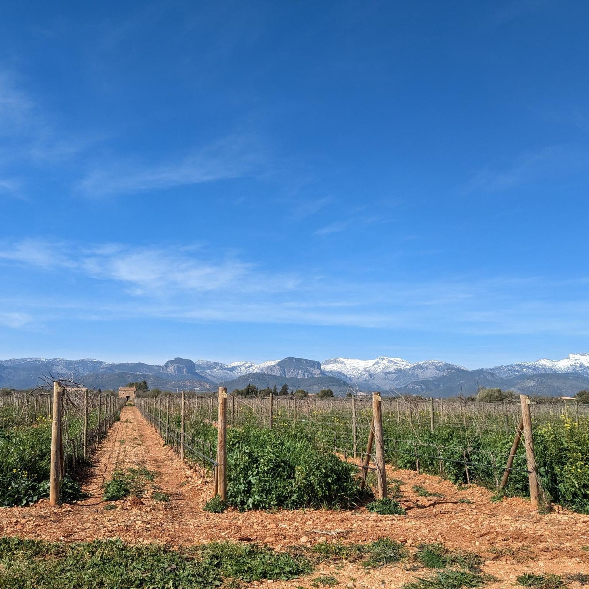
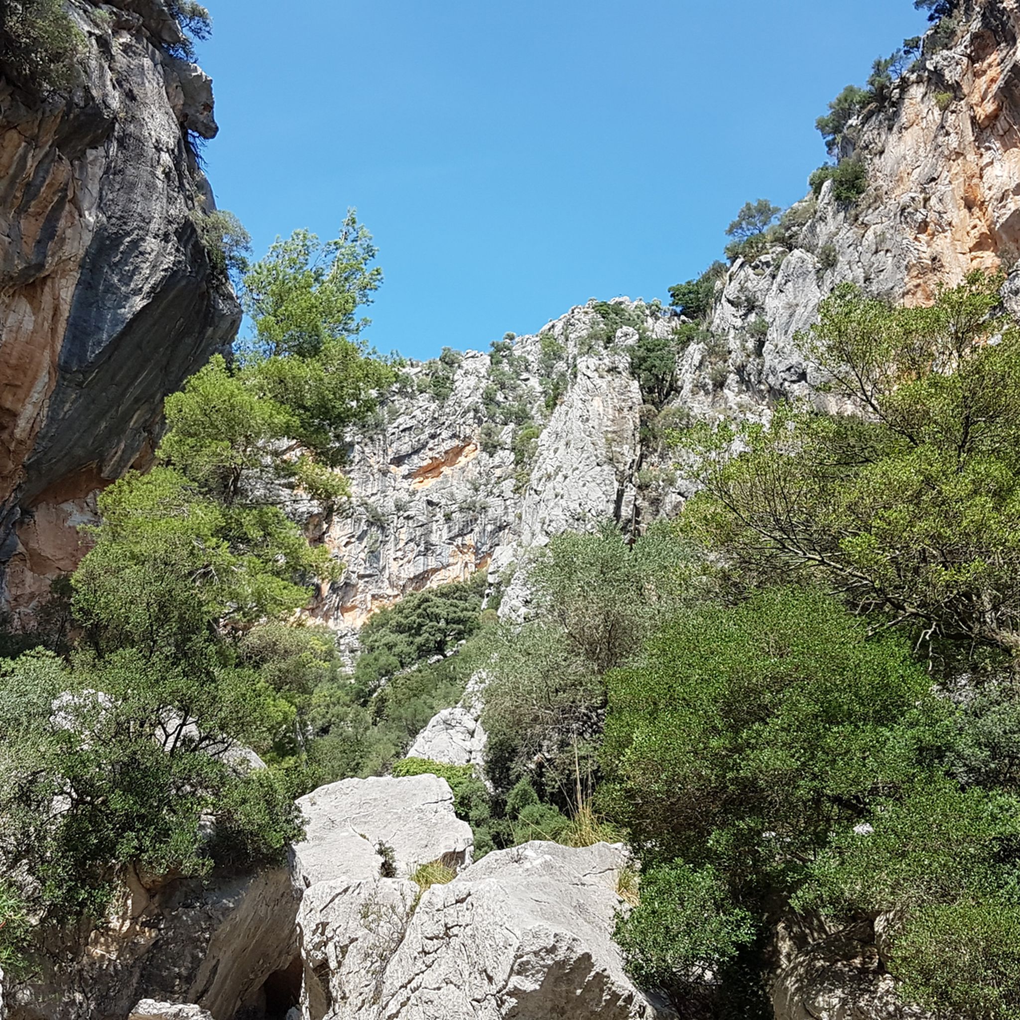
Mountaineering routes Binissalem are situated where the Mallorcan plains meet the Serra de Tramuntana mountains, a UNESCO World Heritage site. This region features a diverse landscape, including challenging mountain terrain with limestone cliffs, Mediterranean forests, and rolling plains with vineyards. The dramatic elevation changes from the flat agricultural heartland to the steep mountain range define the area's natural character.
Best mountaineering routes around Binissalem
- The most popular mountaineering route is Stone Steps to Castell d'Alaró – Alaró Castle loop from…
Last updated: October 13, 2026
4.7
(91)
265
hikers
Hard mountaineering route. Good fitness required. Sure-footedness, sturdy shoes and alpine experience required.
4.8
(6)
26
hikers
8.67km
03:18
420m
420m
Moderate mountaineering route. Good fitness required. Mostly accessible paths. Sure-footedness required.

5.0
(2)
6
hikers
15.6km
05:28
640m
640m
Hard mountaineering route. Very good fitness required. Mostly accessible paths. Sure-footedness required.
5.0
(5)
9
hikers
Easy mountaineering route. Great for any fitness level. Easily-accessible paths. Suitable for all skill levels.
5.0
(1)
14
hikers
5.44km
01:46
200m
200m
Moderate mountaineering route. Great for any fitness level. Mostly accessible paths. Sure-footedness required.
Our route recommendations are based on thousands of hikes, rides, and runs completed by other people on komoot.
Start today with a free account
Your next adventure awaits.

Tips from the Community

The Embassament de Cúber is located directly on an important stage of the GR 221 in the Serra de Tramuntana. The calm body of water is surrounded by barren peaks and wide slopes, offering a striking landmark on the long-distance hiking trail. An impressive section that harmoniously combines expansiveness, mountain scenery, and route guidance.
1
0
The view of the Embassament de Cúber shows the calm water surface embedded in the barren high mountain landscape of the Serra de Tramuntana. Surrounded by rugged slopes and wide plains, the reservoir appears particularly clear and still. An impressive panorama that particularly highlights the alpine side of Mallorca.
2
0
The view of the Embassament de Cúber shows the calm water surface nestled in the barren high mountain landscape of the Serra de Tramuntana. Surrounded by rugged peaks and wide slopes, the reservoir appears particularly clear and still. An impressive panorama that strikingly underlines the alpine side of Mallorca.
1
0

Beautiful flat hike around the lake
1
0

A very beautiful view
1
0
A very beautiful view
0
0
Frequently Asked Questions
How many mountaineering routes are available around Binissalem?
There are 7 mountaineering routes around Binissalem documented on komoot, offering a diverse range of experiences from moderate to difficult. These routes are highly rated by the komoot community, with an average score of 4.9 stars.
Are there any beginner-friendly mountaineering routes in Binissalem?
While all listed routes are rated moderate to difficult, some moderate options are suitable for those with some experience. For example, the Stone Steps to Castell d'Alaró – Alaró Castle loop from Coll d'Orient is a moderate 5.3-mile trail that takes about 3 hours 16 minutes to complete.
What are some challenging mountaineering routes near Binissalem?
For experienced mountaineers seeking a challenge, the Stone Steps to Castell d'Alaró – View of the Castell d'Alaró loop from Alaró offers a difficult 9.7-mile path. This route provides extensive views of the Castell d'Alaró and the surrounding Tramuntana landscape.
Are there any circular mountaineering routes around Binissalem?
Yes, many of the mountaineering routes around Binissalem are loops, allowing you to start and end at the same point. An example is the Stone Steps to Castell d'Alaró – Alaró Castle loop from Es Verger, a 3.4-mile trail leading through varied terrain.
What kind of terrain can I expect on mountaineering routes in Binissalem?
Mountaineering around Binissalem is defined by the rugged Serra de Tramuntana mountains, a UNESCO World Heritage site. You can expect limestone formations, dramatic elevation changes, and Mediterranean forests. The routes often feature rocky paths and ascents towards historic landmarks.
What are the main natural features or viewpoints along these routes?
The primary natural feature is the Serra de Tramuntana mountain range itself, offering impressive panoramic views across a significant portion of Mallorca. Routes often lead to high points like Castell d'Alaró, which provides 'tremendously spectacular' vistas. The contrast between the flat plains and the steep mountains is also a defining characteristic.
Are there any interesting landmarks or attractions to see near the mountaineering routes?
Absolutely. Many routes lead to or offer views of the historic Castell d'Alaró, a rock castle at 822 meters above sea level. Additionally, you can explore nearby natural attractions like the Cova de Lourdes or the Avenc de Son Pou, both caves in the region. Mountain passes like Ascent to Coll de Sa Batalla from Caimari also offer scenic points.
How long do mountaineering routes around Binissalem typically take?
The duration of routes varies depending on their length and difficulty. For instance, a moderate route like the Stone Steps to Castell d'Alaró – Alaró Castle loop from Orient, which is 5.1 miles long, typically takes around 2 hours 55 minutes. Longer, more difficult routes can take significantly more time.
What do other mountaineers enjoy most about the routes in Binissalem?
The routes in Binissalem are highly rated by the komoot community with an average score of 4.9 stars. Mountaineers often praise the stunning panoramic views, the historical significance of landmarks like Castell d'Alaró, and the diverse terrain that transitions from plains to rugged mountains.
Is there parking available near the starting points of these mountaineering trails?
While specific parking details for each route are best checked on the individual tour pages, Binissalem and nearby villages like Alaró and Orient, which serve as common starting points, generally offer parking options for hikers. It's advisable to arrive early, especially during peak seasons, to secure a spot.
What is the best time of year for mountaineering in Binissalem?
The Mediterranean climate of Mallorca makes mountaineering enjoyable for much of the year. Spring and autumn generally offer the most pleasant temperatures for hiking. Summers can be very hot, making early morning starts essential, while winters are mild but can bring occasional rain to the mountains.
Most popular routes around Binissalem
Most popular attractions around Binissalem

Get inspired with the komoot mobile app


Explore more
Browse the best Mountain Hikes & Routes in other regions.
