The best MTB trails around Montagut I Oix
4.3
(93)
1,681
riders
13
rides
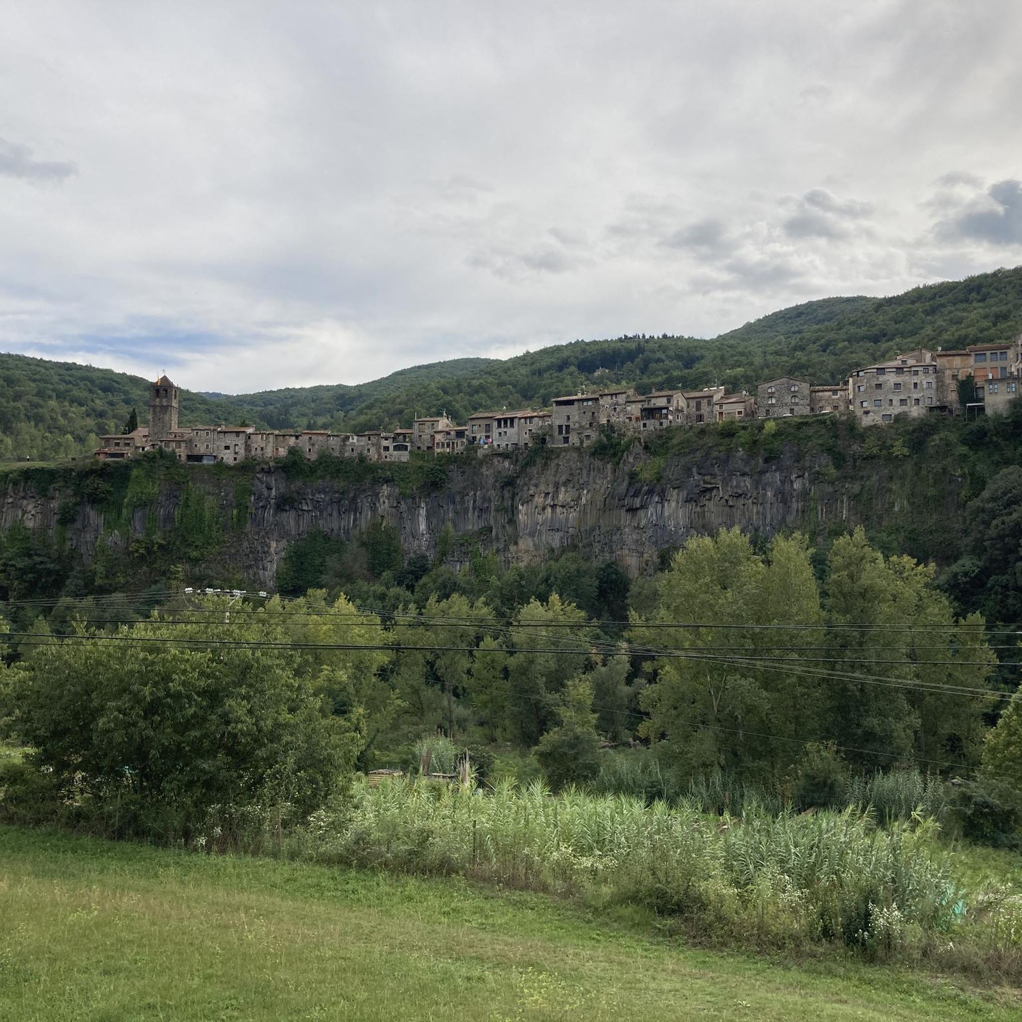
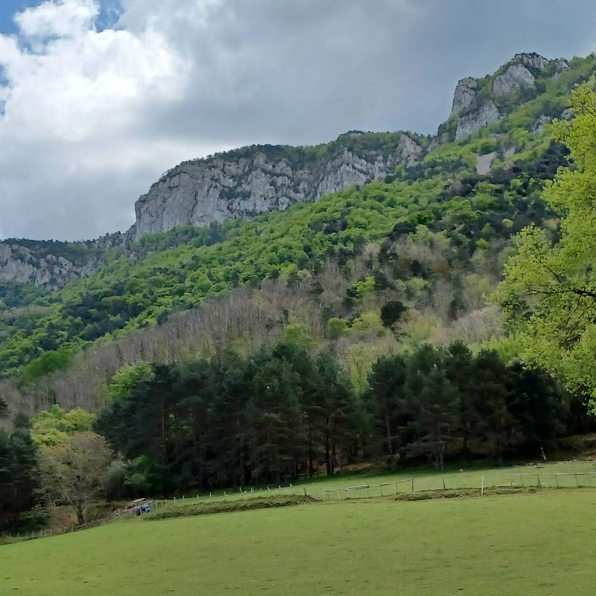
Mountain biking around Montagut I Oix offers diverse terrain, from rugged mountainous landscapes in the north to gentler river valleys in the south. The region is characterized by distinctive limestone formations, cliffs, and gorges carved by mountain streams, alongside extensive oak, pine, and beech forests. This varied geomphology provides a mix of challenging ascents and more accessible paths, catering to different skill levels. A significant portion of the area falls within the Protected Natural Area of Alta Garrotxa, ensuring preserved…
Last updated: October 15, 2026
29
riders
41.2km
04:01
1,150m
1,150m
Hard mountain bike ride. Very good fitness required. Advanced riding skills necessary. Some portions of the route may require you to push your bike.
5.0
(2)
22
riders
61.4km
06:49
2,040m
2,040m
Hard mountain bike ride. Very good fitness required. Suitable for all skill levels.

3.0
(1)
36
riders
38.9km
03:33
1,070m
1,070m
Hard mountain bike ride. Very good fitness required. Suitable for all skill levels.
3.0
(2)
19
riders
35.8km
03:08
700m
710m
Moderate mountain bike ride. Good fitness required. Suitable for all skill levels.
10
riders
55.4km
06:29
2,070m
2,070m
Hard mountain bike ride. Very good fitness required. Advanced riding skills necessary. Some portions of the route may require you to push your bike.
Get access to more routes and recommendations from other explorers.
Already have an account?
Our route recommendations are based on thousands of hikes, rides, and runs completed by other people on komoot.
Start today with a free account
Your next adventure awaits.
Popular around Montagut I Oix
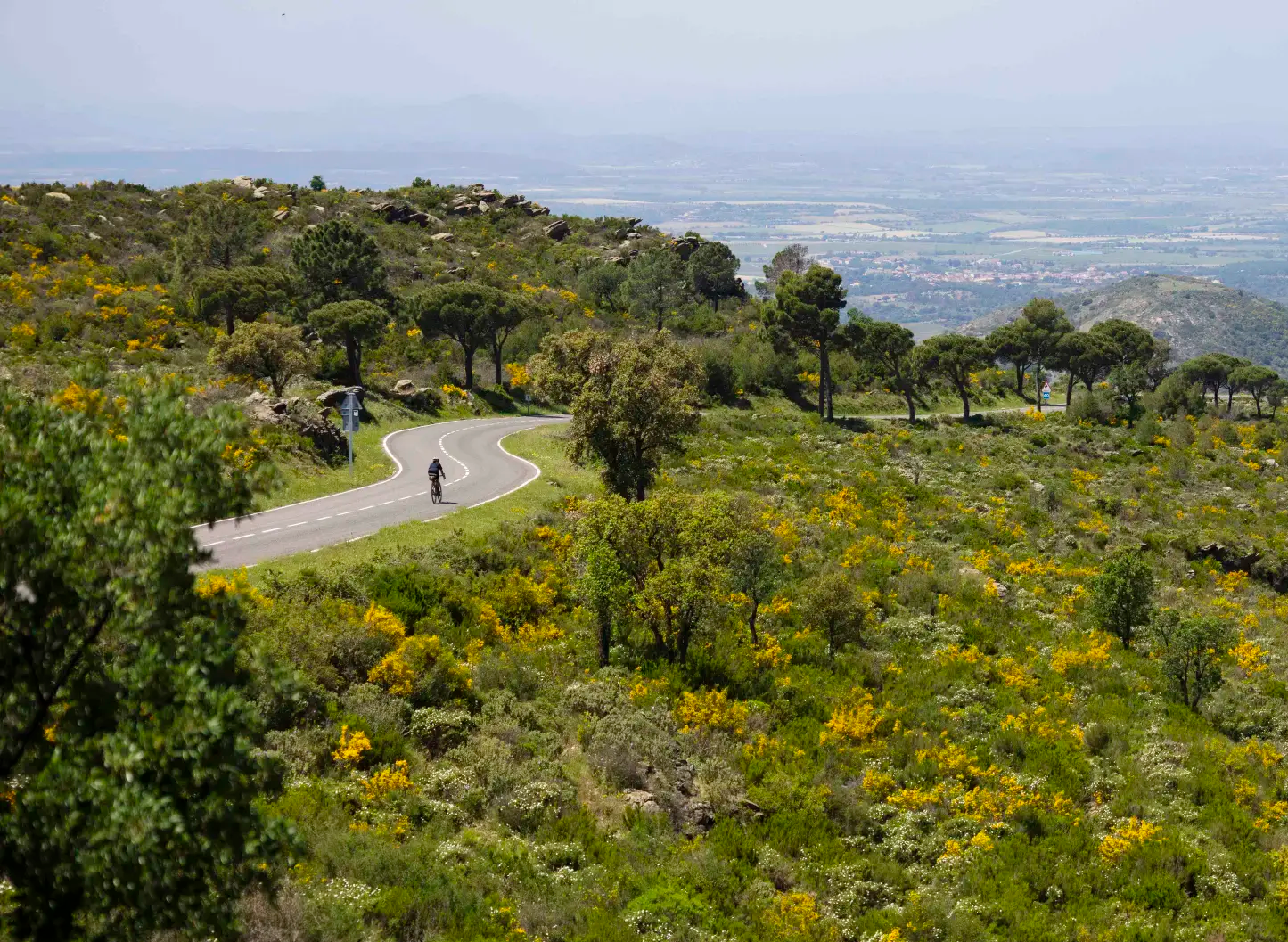
Ports and Roads — Catalonia on Wheels

Catalonia and Andorra on the Pyrenean Trail – GR 11
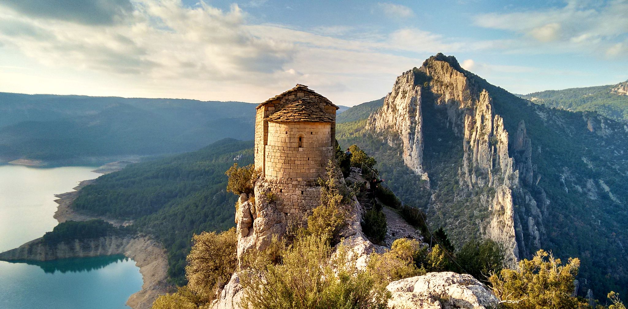
From the Mediterranean to the Pre-Pyrenees – Historical Path in Catalonia (GR 1)
Hiking around Montagut I Oix
Road Cycling Routes around Montagut I Oix
Running Trails around Montagut I Oix
Cycling around Montagut I Oix

Gravel biking around Montagut I Oix

Mountain Hikes around Montagut I Oix
Other adventures around Montagut I Oix


Tips from the Community

Bonica esglèsia romànica del s. XII
0
0
It is a way to cross the river without going through the old road (national 270) to Olot. Despite having rained yesterday the passage is easy, some stones allow you to cross on foot.
0
0

The area east of the bridge is not particularly suitable for gravel bikes. The bridge is definitely worth a visit.
0
0
A very demanding climb, so stopping at the curve and marveling at the views has double value, that of resting and that of contemplating.
0
0
Don't be fooled by the name, the only thing left of the Hostal is its name. However, it serves as a reference point. From here you can take the route to Albanyá, to Bassegoda or to France (Vilarouge and St Llorenç de Cerdans)
0
0
The entrance to the hermitage is locked and as of today (27/12/24) it is not possible to enter. It is unfortunate, but understandable. In any case, the external visit is worth it and the contemplation of the landscape is mandatory.
0
0

Today, it is a reference point for cyclists and hikers who follow routes such as the Camí de l'Exili or mountain routes in the Bassegoda and Albanyà region. It is known as a landmark on several hiking routes due to its strategic location in the border area. Although it is not a "hostel" in the modern sense, its name retains that historical sense of being a resting place on old trade and transit routes.
0
0
Frequently Asked Questions
What kind of terrain can I expect on mountain bike trails in Montagut i Oix?
Montagut i Oix offers a diverse range of terrain. The northern part features rugged, mountainous landscapes with distinctive limestone formations, cliffs, and gorges carved by mountain streams. In contrast, the southern area provides gentler relief with wide alluvial valleys formed by the Fluvià and Llierca rivers. You'll encounter a mix of challenging ascents, technical singletrack, and more accessible paths through oak, pine, and beech forests, as well as riparian forests along the rivers.
Are there mountain bike trails suitable for beginners or families in Montagut i Oix?
While many trails in Montagut i Oix are rated moderate to difficult, the southern part of the region offers a gentler relief with paths through river valleys and forests that can be more suitable for less experienced riders or families. For example, the Borró River Crossing – La Miana Gravel Trail loop from Montagut is a moderate route that follows river valleys and gravel paths, offering a less strenuous option.
What are some notable natural features or landmarks I can see while mountain biking in Montagut i Oix?
The region is rich in natural beauty and historical sites. You can encounter dramatic limestone formations, deep gorges, and lush forests. Highlights include the Llierca Bridge, a historic structure often incorporated into routes. The area also borders the Natural Park of the Volcanic Zone of Garrotxa, offering unique geological features like the Santa Margarida Volcano and its crater, and the Croscat Volcano Scoria Slopes. Additionally, you might pass by charming Romanesque churches and ancient bridges.
What is the best time of year to go mountain biking in Montagut i Oix?
Montagut i Oix is suitable for mountain biking for much of the year. The diverse topography supports a variety of microclimates. Spring and autumn generally offer pleasant temperatures and vibrant scenery, with lush forests and comfortable riding conditions. Summers can be warm, especially in the valleys, but higher elevation trails provide cooler air. Winters are typically mild, though some higher, more exposed routes might be affected by colder weather.
Are there any long-distance or challenging mountain bike routes in the area?
Yes, Montagut i Oix is known for its challenging routes with significant elevation gains. The Entrance to the Sadernes congost – Sant Andreu de Guitarriu loop from Puig de Molins is a difficult 38.1-mile (61.3 km) path with over 2,000 meters of elevation gain, exploring rugged landscapes. Another demanding option is the Church of Sant Feliu de Rocabruna – Pont Nou of Camprodon loop from Castellfollit de la Roca, a 47-mile (75.8 km) difficult trail.
What do other mountain bikers say about the trails in Montagut i Oix?
The mountain bike trails around Montagut i Oix are highly rated by the komoot community, holding an average score of 4.4 stars from over 90 reviews. Riders often praise the diverse terrain, from challenging mountain ascents to scenic river valley paths, and the preserved natural beauty of the Alta Garrotxa region.
How many mountain bike trails are available in Montagut i Oix?
Komoot lists 13 mountain bike tours in the Montagut i Oix area. These range from moderate to difficult, offering a variety of options for different skill levels and preferences.
Are there any mountain bike routes that feature historical sites or charming villages?
Many routes in Montagut i Oix pass through or near historical points of interest. The region is home to fourteen Romanesque churches, ancient bridges, and charming villages like Oix and Pera. While specific routes aren't solely dedicated to these, you'll often find them integrated into the landscape, providing cultural glimpses during your ride. For example, the Church of Sant Feliu de Rocabruna – Pont Nou of Camprodon loop from Castellfollit de la Roca includes a Romanesque church.
Are there any mountain bike trails that are circular routes?
Yes, many of the mountain bike trails in Montagut i Oix are designed as circular routes, allowing you to start and finish at the same point. Examples include the popular Llierca Bridge – Valentí Bridge loop from Montagut and the Llierca Bridge – Sant Andreu de Guitarriu loop from Montagut.
What is the typical duration for mountain bike tours in Montagut i Oix?
The duration of mountain bike tours in Montagut i Oix varies significantly based on distance, elevation, and difficulty. For instance, the Llierca Bridge – Valentí Bridge loop from Montagut, a difficult 25.7-mile (41.3 km) trail, typically takes around 4 hours. Shorter, moderate routes might be completed in 2-3 hours, while longer, more challenging ones can extend to 6 hours or more.
Is Montagut i Oix suitable for mountain bikers looking for significant elevation gain?
Absolutely. The northern part of Montagut i Oix is characterized by mountainous and rugged landscapes, making it ideal for mountain bikers seeking significant elevation gain. Routes like the Entrance to the Sadernes congost – Sant Andreu de Guitarriu loop from Puig de Molins feature over 2,000 meters of ascent, providing a challenging workout and rewarding views.
Most popular routes around Montagut I Oix
Most popular attractions around Montagut I Oix

Get inspired with the komoot mobile app


Explore more
Browse the best MTB trails in other regions.
