The best mountain hikes around Moya
5.0
(19)
126
hikers
13
hikes
Mountaineering routes around Moya, a municipality in Gran Canaria, offer diverse terrain shaped by its volcanic origin. The region features impressive basalt walls, deep ravines like Barranco de Moya, and remnants of ancient laurisilva forests, notably Los Tilos de Moya Natural Reserve. While Moya itself provides opportunities for challenging hikes and rock climbing, its proximity allows access to higher peaks such as Roque Nublo and Pico de las Nieves, offering more extensive mountaineering experiences. The landscape transitions from humid forest microclimates to rugged volcanic formations, providing varied conditions for outdoor activities.
Best mountaineering routes around Moya
- The most popular mountaineering route is Roque Nublo – View of Roque Nublo loop from Gran Canaria, a 2.0 miles (3.2 km) trail that takes 1 hour 8 minutes to complete. This moderate route offers views of the iconic Roque Nublo monolith.
- Another top favourite among local mountaineers is View of Roque Nublo – Roque Nublo Cave loop from Gran Canaria, a moderate 5.0 miles (8.1 km) path. This route explores the area around Roque Nublo, including its cave formations.
- Local mountaineers also love the La Culata Church – La Culata village loop from Tejeda, a 6.3 miles (10.2 km) trail leading through the scenic Tejeda region, often completed in about 3 hours 24 minutes.
- Mountaineering around Moya is defined by volcanic terrain, ancient laurisilva forests, and dramatic ravines. The network offers options for easy, moderate, and difficult routes, catering to various skill levels.
- The routes in Moya are highly rated by the komoot community with an average score of 4.75 stars from over 25 reviews. More than 130 mountaineers have used komoot to explore Moya's varied terrain.
Last updated: July 1, 2026
5.0
(3)
10
hikers
10.2km
03:24
500m
500m
Moderate mountaineering route. Good fitness required. Mostly accessible paths. Sure-footedness required.
5.0
(2)
10
hikers
5.98km
01:53
230m
230m
Moderate mountaineering route. Great for any fitness level. Mostly accessible paths. Sure-footedness required.

Sign up for free
5.0
(3)
14
hikers
6.96km
02:38
410m
410m
Moderate mountaineering route. Good fitness required. Mostly accessible paths. Sure-footedness required.
5.0
(3)
7
hikers
8.05km
03:27
510m
510m
Hard mountaineering route. Good fitness required. Sure-footedness, sturdy shoes and alpine experience required.
6
hikers
7.04km
02:13
260m
270m
Moderate mountaineering route. Good fitness required. Easily-accessible paths. Suitable for all skill levels.
Get access to more routes and recommendations from other explorers.
Sign up for free
Already have an account?
Our route recommendations are based on thousands of hikes, rides, and runs completed by other people on komoot.
Start today with a free account
Your next adventure awaits.
Login or Signup
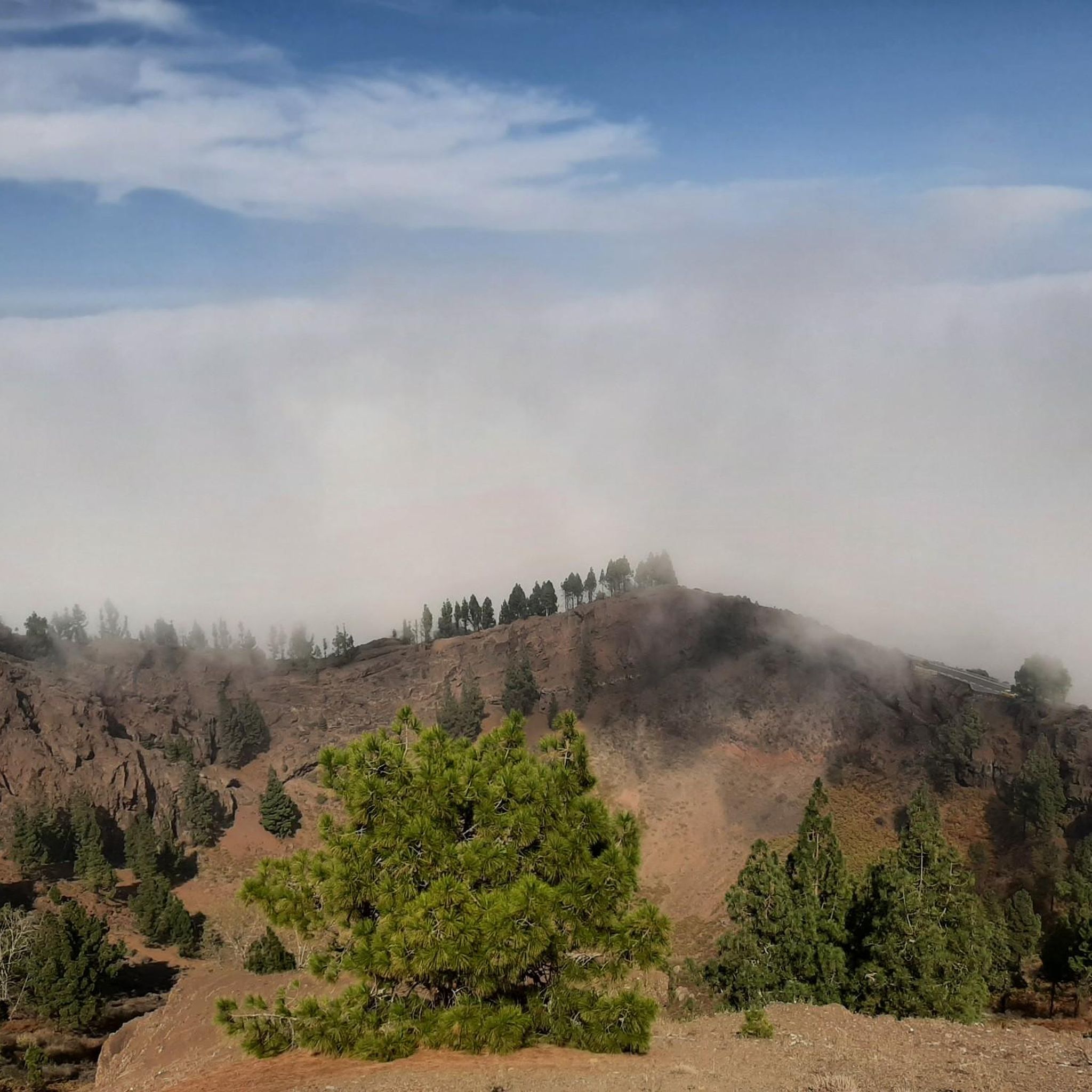
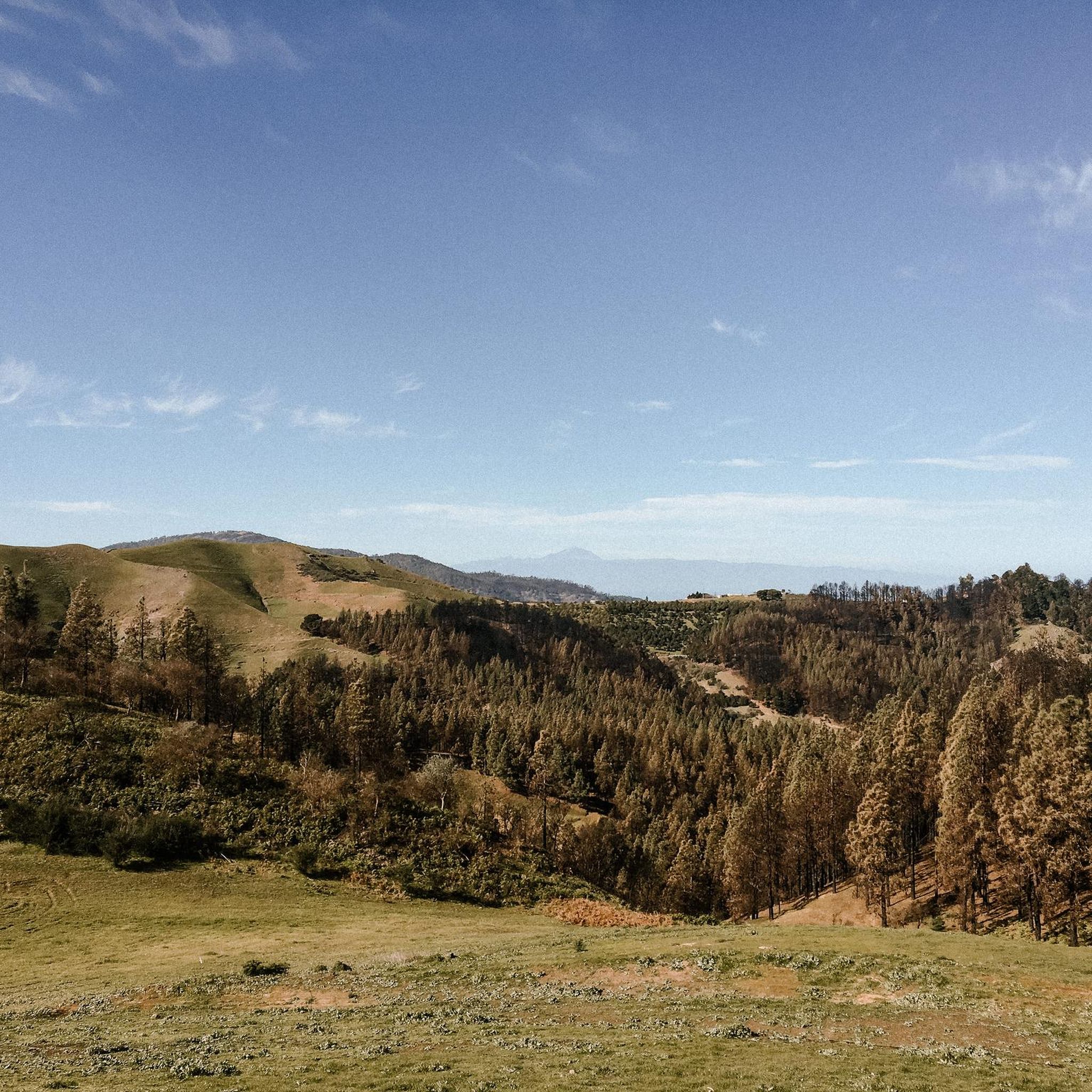
Other adventures around Moya

Tips from the Community

The Tamadaba pine forest is one of the best-preserved Canary pine forests. It is protected by the Tamadaba Natural Park, one of the best-preserved natural areas of Gran Canaria. It is also part of an area designated as a UNESCO Biosphere Reserve.
0
0
Located in the heart of Gran Canaria, La Culata is part of the municipality of Tejeda. It is made up of traditional houses built on the cliff face from which it gets its name. From the heights of the village, you can see the distribution of the houses and the terraced crops that adapt to the hills.
0
0
In a magnificent location in the middle of pine forests, you can choose here to take the upper or lower hiking trail to climb to Pico de las Nieves.
0
0

Our path to Roque Nublo leads here through a sparse pine forest.
0
0
In clear weather, the view from here extends all the way to Tenerife.
0
0

From here you have a wonderful view.
1
0
Beautiful view of the island's highest mountain.
0
0
Frequently Asked Questions
How many mountaineering routes are available around Moya?
There are over 10 mountaineering routes available around Moya, offering a diverse range of experiences. These routes are highly rated by the komoot community, with an average score of 4.75 stars.
What kind of terrain can I expect on mountaineering routes in Moya?
Moya's mountaineering routes feature diverse terrain shaped by its volcanic origin. You'll encounter impressive basalt walls, deep ravines like Barranco de Moya, and remnants of ancient laurisilva forests, particularly in the Los Tilos de Moya Natural Reserve. The landscape transitions from humid forest microclimates to rugged volcanic formations, providing varied conditions for outdoor activities.
Are there any easy mountaineering routes suitable for beginners in Moya?
Yes, Moya offers routes suitable for various skill levels, including easy options. While specific beginner mountaineering routes are not detailed, the area is known for trails that cater to different experiences. For example, the Los Tilos de Moya Natural Reserve offers easy, well-maintained circular hiking trails, typically around 1.8 to 3 kilometers in length, which are suitable for families and hikers of all levels.
Can I find challenging mountaineering routes for experienced climbers near Moya?
Absolutely. While Moya itself provides opportunities for challenging hikes and rock climbing on its basalt walls, its proximity allows access to higher peaks such as Roque Nublo and Pico de las Nieves, offering more extensive and challenging mountaineering experiences. Routes like View of Roque Nublo – Roque Nublo Cave loop from Gran Canaria and La Culata Church – La Culata village loop from Tejeda offer moderate challenges with significant elevation gain.
Are there any circular mountaineering routes around Moya?
Yes, many of the mountaineering routes around Moya are designed as loops, allowing you to start and end in the same location. Examples include the popular Roque Nublo – View of Roque Nublo loop from Gran Canaria, the longer View of Roque Nublo – Roque Nublo Cave loop from Gran Canaria, and the scenic Pico de las Nieves – View of Roque Nublo loop from Pico de las Nieves.
What natural attractions or landmarks can I see along the mountaineering routes?
Moya's routes offer access to stunning natural attractions. You can explore the unique laurisilva forest in Los Tilos de Moya Natural Reserve, nestled within the Barranco de Moya. Further afield, routes often provide views of iconic landmarks like Roque Nublo, an 80-meter tall volcanic rock monolith, and Pico de las Nieves, the island's highest point. You might also encounter impressive gorges such as Azuaje Gorge or Barranco de la Virgen.
Are there any waterfalls to discover near Moya's mountaineering trails?
Yes, the humid microclimate of the El Laurel ravine, where Los Tilos de Moya Natural Reserve is situated, can lead to cascading waterfalls, especially after rainfall, enhancing the magical atmosphere of this ancient forest. You might also find other water features like the Blue Pool or El Charco de la Paloma in the wider area.
Is Moya suitable for family-friendly mountaineering or hiking?
Moya offers options suitable for families, particularly within the Los Tilos de Moya Natural Reserve. This reserve features easy, well-maintained circular hiking trails, typically around 1.8 to 3 kilometers in length, making them accessible and enjoyable for families and hikers of all levels. The unique laurisilva forest provides a captivating environment for younger explorers.
What is the best time of year to go mountaineering in Moya?
Gran Canaria generally enjoys a mild climate year-round. However, for mountaineering, the cooler, drier months from autumn through spring (roughly October to May) are often preferred to avoid the peak summer heat. This period offers more comfortable temperatures for strenuous activity and better visibility for panoramic views.
Do I need any special permits for mountaineering in Moya?
Generally, permits are not required for hiking or mountaineering on established trails in Moya or the broader Gran Canaria region. However, for specific rock climbing routes, especially in designated climbing areas, it's always advisable to check local regulations or with climbing associations for any specific requirements or restrictions.
What do other mountaineers enjoy most about the routes in Moya?
The area is highly rated by the komoot community, with an average score of 4.75 stars from over 25 reviews. Mountaineers frequently praise the diverse volcanic terrain, the unique ancient laurisilva forests, and the dramatic ravines. The accessibility to iconic peaks like Roque Nublo and Pico de las Nieves, offering breathtaking panoramic views, is also a major highlight.
Are there options for public transport to reach mountaineering trailheads near Moya?
While specific public transport details for every trailhead are not provided, Gran Canaria has a bus network (Guaguas Global) that connects various towns and villages. It's recommended to check local bus schedules and routes to see if they align with your chosen trailhead. For more remote starting points, a car might be necessary.
Most popular attractions around Moya

Get inspired with the komoot mobile app


Explore more
Browse the best Mountain Hikes & Routes in other regions.
