The best road cycling routes around Salobreña
4.4
(199)
10,809
riders
85
rides
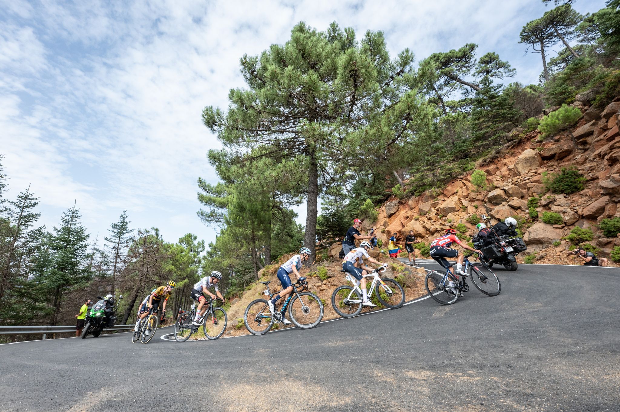
Road cycling routes around Salobreña offer diverse landscapes, combining coastal beauty with mountainous challenges. The region features significant elevation changes and winding mountain roads that lead towards the foothills of the Sierra Nevada. Cyclists can explore subtropical valleys filled with fruit plantations and enjoy views of the Mediterranean coastline. This area provides varied terrain for road cycling, from coastal roads to mountain ascents.
Best road cycling routes around Salobreña
- The most popular road cycling route is Urbanización Alfamar – Avenida…
Last updated: October 22, 2026
4.6
(5)
481
riders
Hard road ride. Very good fitness required. Mostly well-paved surfaces and easy to ride.
5.0
(3)
429
riders
76.9km
04:02
1,110m
1,110m
Hard road ride. Very good fitness required. Some segments of this route may be unpaved and difficult to ride.

78
riders
Moderate road ride. Good fitness required. Some segments of this route may be unpaved and difficult to ride.
58
riders
114km
06:29
2,350m
2,350m
Hard road ride. Very good fitness required. Mostly well-paved surfaces and easy to ride.
21
riders
151km
08:08
2,860m
2,860m
Hard road ride. Very good fitness required. Mostly well-paved surfaces and easy to ride.
Get access to more routes and recommendations from other explorers.
Already have an account?
Our route recommendations are based on thousands of hikes, rides, and runs completed by other people on komoot.
Start today with a free account
Your next adventure awaits.

Other adventures around Salobreña

Tips from the Community

Magnificent viewpoint over the Embalse de Rules, located in the Guadalfeo river valley, between the Costa Tropical and Alpujarra Granadina regions. From this spot, you can see both the reservoir's water surface and one of the bridges on the road that connects the coast with Órgiva and the interior of the Alpujarra.
1
0
The waters of the Presa de Rules reservoir meander through the mountains of Granada's Costa Tropical, forming an impressive landscape where the blue of the reservoir contrasts with the steep slopes and Mediterranean vegetation. A magnificent natural viewpoint between the Alpujarra and the sea.
3
0
From the Puerto de la Gorgoracha, the view opens up over the Costa Tropical of Granada, where the blue of the Mediterranean contrasts with the mountains of Sierra Nevada and the green subtropical crops. A spectacular natural viewpoint that unites sea, valleys, and mountains in a single panorama.
6
0
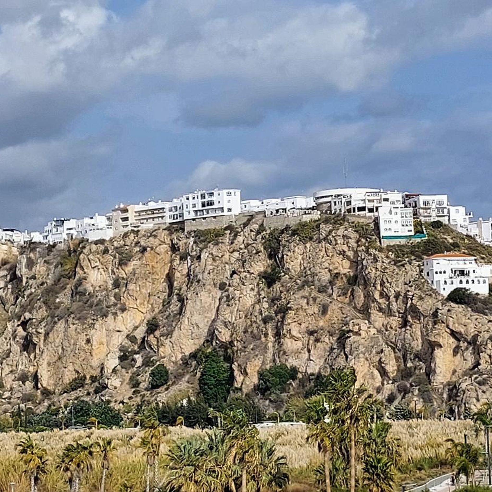
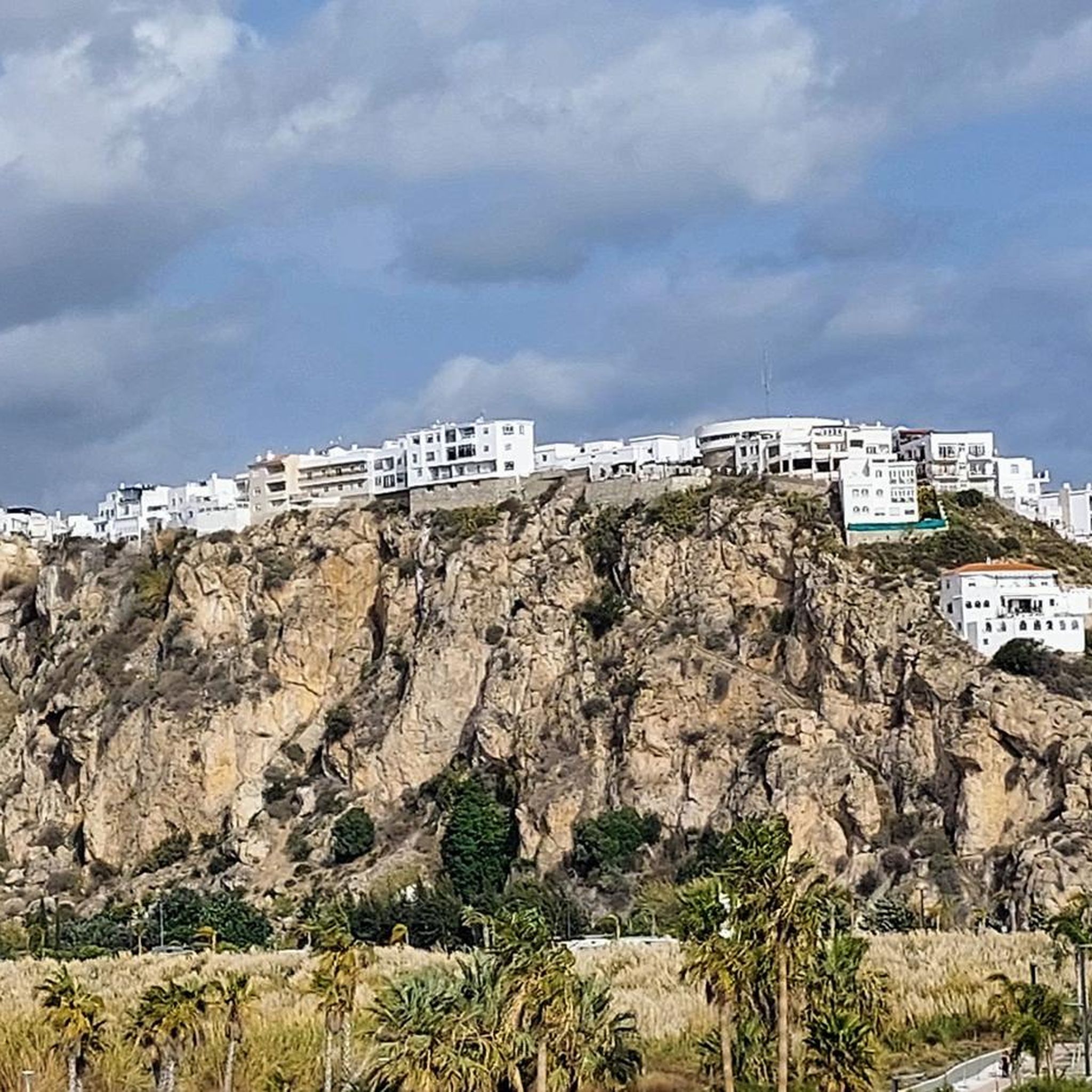
The Salobreña Castle stands majestically on the rock overlooking the white town and the Mediterranean. A Nasrid fortress, residence of sultans and watchtower of the Costa Tropical, it offers one of the most spectacular panoramic views of Granada, where the blue of the sea meets the peaks of the Sierra Nevada.
1
0
The Castillo de Salobreña stands majestically on the rock overlooking the white town and the Mediterranean. A Nasrid fortress, residence of sultans and watchtower of the Costa Tropical, it offers one of the most spectacular panoramic views of Granada, where the blue of the sea meets the peaks of Sierra Nevada.
1
0

Órgiva is a charming Spanish municipality located in the province of Granada, in Andalusia, and is historically considered the capital and administrative center of the western Alpujarra. This town of about 6,000 inhabitants stands at an altitude of 450 meters in the fertile valley of the Guadalfeo River, right at the foot of the Sierra Nevada Natural Park.
0
1

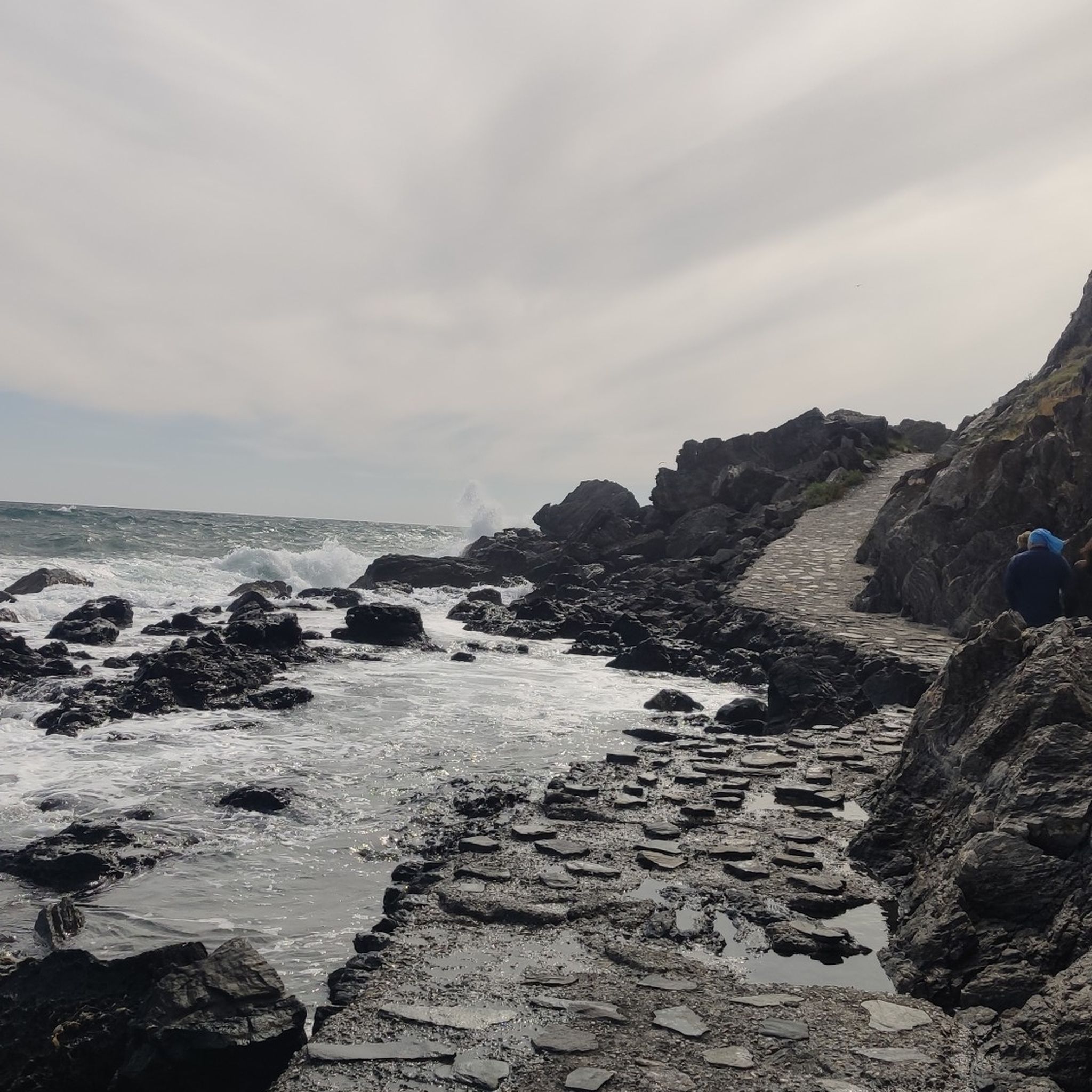
Magnificent walk along the sea
0
0
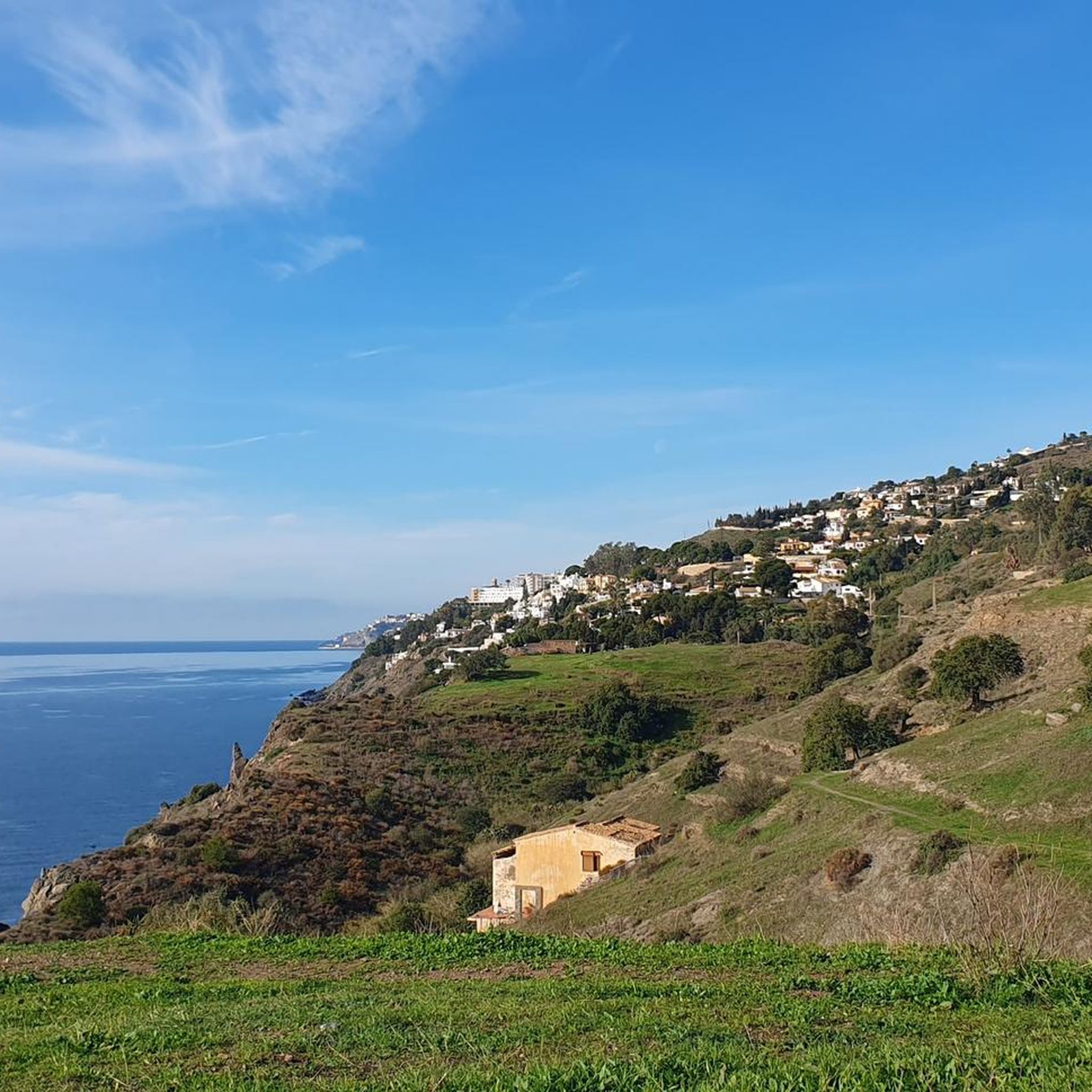
One of the magnificent beaches of Almuñécar
0
0
Frequently Asked Questions
How many road cycling routes are available around Salobreña?
There are over 75 road cycling routes around Salobreña, offering a wide range of options for different skill levels. You'll find everything from moderate coastal rides to challenging mountain climbs.
What kind of terrain can I expect on road cycling routes in Salobreña?
Salobreña's road cycling routes feature diverse terrain, including beautiful coastal roads, lush subtropical valleys filled with fruit plantations, and winding ascents into the foothills of the Sierra Nevada. This variety provides both scenic rides and challenging climbs.
Are there any easy road cycling routes suitable for beginners or families in Salobreña?
Yes, Salobreña offers several easier road cycling options. There are 10 routes classified as easy, and 37 moderate routes that might also be suitable for less experienced cyclists or families looking for a relaxed ride. These often feature gentler gradients through subtropical valleys or along the coast.
What are some challenging road cycling routes for experienced riders in Salobreña?
For experienced riders, Salobreña offers 28 difficult routes with significant elevation gains. Routes like the 74.7 km Lújar Village – View of Salobreña loop from Salobreña, with over 1,100 meters of ascent, provide winding mountain roads and panoramic views. Other challenging options include the Salobreña-Cabra Montés route (133 km, 2,790m elevation) and Salobreña-Castell de Ferro-Haza del Lino (110 km, 2,800m elevation).
What is the best time of year for road cycling in Salobreña?
Salobreña enjoys a mild climate with warm summers and mild winters, making it an appealing destination for road cycling year-round. The shoulder seasons (spring and autumn) often provide the most comfortable temperatures for longer rides, while winters are generally mild enough for cycling.
Are there circular road cycling routes around Salobreña?
Yes, many of the road cycling routes around Salobreña are designed as loops, allowing you to start and finish in the same location. For example, the Salobreña Castle – Urbanización Alfamar loop from Salobreña is a 30.2 km circular route through coastal areas and local landmarks.
What landmarks or natural features can I see along the road cycling routes?
Road cycling routes in Salobreña offer views of diverse landmarks and natural features. You might pass by the historic Salobreña Castle, enjoy coastal vistas including the iconic El Peñón rock formation, or cycle through subtropical fruit plantations. Some routes also offer views of the Sierra Nevada mountains in the distance. You can also find natural highlights like Charca Suárez or the Guadalfeo River Spring.
What do other road cyclists say about the routes in Salobreña?
The road cycling routes in Salobreña are highly rated by the komoot community, with an average score of 4.2 stars from over 170 reviews. More than 9,000 road cyclists have used komoot to explore the area, often praising the varied terrain and beautiful scenery.
Are there routes that offer coastal views?
Absolutely. Many routes in Salobreña incorporate stunning coastal sections. The Urbanización Alfamar – Avenida Costa del Sol loop from Salobreña is a moderate 40.1 km path that specifically offers beautiful coastal views as it passes through subtropical valleys.
Can I find routes that take me into the foothills of the Sierra Nevada?
Yes, Salobreña's strategic location allows for road cycling routes that extend towards the foothills of the Sierra Nevada. These routes typically involve significant elevation changes and winding mountain roads, providing a challenging and rewarding experience with dramatic mountain backdrops.
Are there any specific viewpoints along the cycling routes in Salobreña?
Many routes offer panoramic viewpoints, especially those that climb into the hills or along the coast. The ancient Castillo de Salobreña, perched atop a hill, provides breathtaking views of the town, coastline, and mountains, and is often a feature or nearby point of interest on local routes. You can also find specific viewpoints like Views of the Rules Dam.
Most popular attractions around Salobreña

Get inspired with the komoot mobile app


Explore more
Browse the best Road cycling routes in other regions.
