The best mountain hikes around Valsequillo De Gran Canaria
5.0
(21)
127
hikers
11
hikes
Mountaineering routes around Valsequillo De Gran Canaria traverse a diverse landscape characterized by volcanic craters, deep ravines, and significant elevation changes. The municipality, situated at the foothills of the Telde basin, features a highest point reaching 1,800 meters above sea level. Notable natural features include the elliptical Caldera de Los Marteles and the Barranco de los Cernícalos, known for its year-round water flow and unique flora. The region offers challenging ascents and panoramic views across its varied terrain.
Best mountaineering…
Last updated: August 20, 2026
5.0
(6)
47
hikers
3.23km
01:09
160m
160m
Moderate mountaineering route. Great for any fitness level. Mostly accessible paths. Sure-footedness required.
5.0
(3)
10
hikers
10.2km
03:24
500m
500m
Moderate mountaineering route. Good fitness required. Mostly accessible paths. Sure-footedness required.

Sign up for free
5.0
(2)
10
hikers
5.98km
01:53
230m
230m
Moderate mountaineering route. Great for any fitness level. Mostly accessible paths. Sure-footedness required.
5.0
(2)
10
hikers
14.4km
04:25
500m
490m
Moderate mountaineering route. Good fitness required. Easily-accessible paths. Suitable for all skill levels.
5.0
(3)
13
hikers
6.96km
02:38
410m
410m
Moderate mountaineering route. Good fitness required. Mostly accessible paths. Sure-footedness required.
Get access to more routes and recommendations from other explorers.
Sign up for free
Already have an account?
Our route recommendations are based on thousands of hikes, rides, and runs completed by other people on komoot.
Start today with a free account
Your next adventure awaits.
Login or Signup
Popular around Valsequillo De Gran Canaria
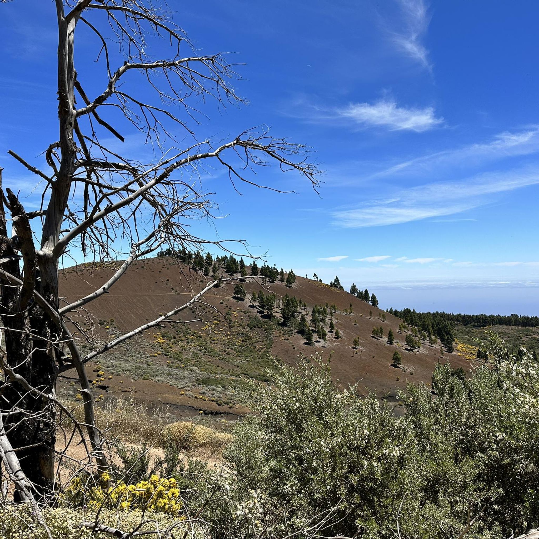

Tips from the Community

Located in the heart of Gran Canaria, La Culata is part of the municipality of Tejeda. It is made up of traditional houses built on the cliff face from which it gets its name. From the heights of the village, you can see the distribution of the houses and the terraced crops that adapt to the hills.
0
0
In a magnificent location in the middle of pine forests, you can choose here to take the upper or lower hiking trail to climb to Pico de las Nieves.
0
0

From here you have a wonderful view.
1
0
Beautiful view of the island's highest mountain.
0
0

From here we have a beautiful view of the Roque Nublo.
1
0


Ascent to the Roque Nublo Plateau Roque Nublo is one of Gran Canaria's most significant natural monuments. A giant that rises to an altitude of approximately 1,800 meters in the center of the island, within a natural landscape protected by a biosphere reserve. This impressive rock monolith—a symbol of Gran Canaria—rises 80 meters from the plateau and offers a uniquely expansive panoramic view; only a few mountains on the island can match it. On clear days, the neighboring volcano, the famous Teide, is clearly visible.
1
0
Frequently Asked Questions
How many mountaineering routes are available in Valsequillo De Gran Canaria?
There are 12 mountaineering routes around Valsequillo De Gran Canaria. These include 4 moderate trails and 8 difficult trails, offering a range of challenges for experienced hikers.
What is the best time of year for mountaineering in Valsequillo De Gran Canaria?
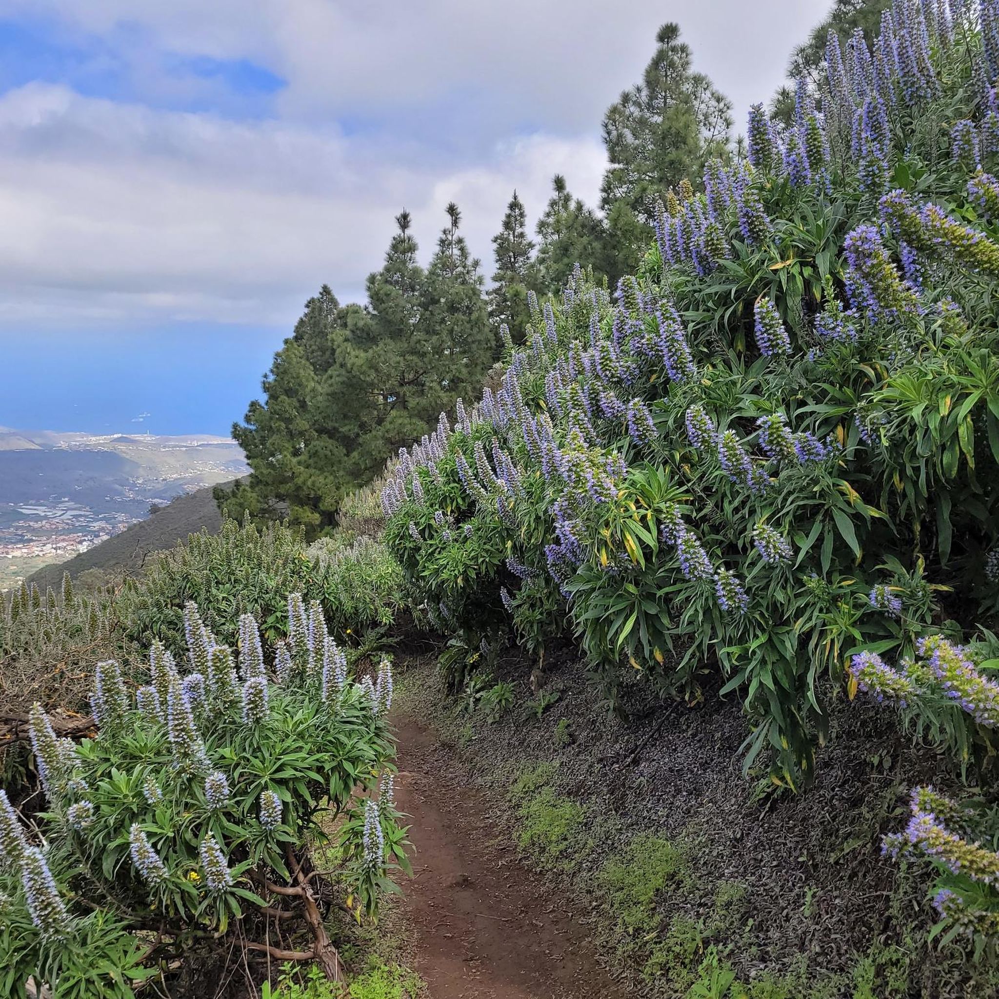
The region offers unique experiences throughout the year. For a spectacular display of nature, visit between late January and early February to witness the Almond Blossom Festival, or between February and April to see the endemic Blue Tajinaste in bloom. The Barranco de los Cernícalos also features year-round waterfalls, making it a great destination anytime.
Are there any family-friendly mountaineering routes in Valsequillo De Gran Canaria?
While there are no routes classified as 'easy' in this guide, some moderate trails might be suitable for families with older children or those accustomed to hiking. For example, the Roque Nublo – View of Roque Nublo loop from Gran Canaria is a shorter, moderate option at 2.0 miles (3.2 km).
Can I bring my dog on the mountaineering trails in Valsequillo De Gran Canaria?
Many trails in Valsequillo De Gran Canaria are suitable for dogs, but it's always recommended to keep them on a leash, especially in protected areas or near livestock. Ensure your dog is fit for the moderate to difficult terrain and carry enough water for both of you.
Are there any circular mountaineering routes in the area?
Yes, many routes in Valsequillo De Gran Canaria are circular, allowing you to start and end at the same point. Examples include the View of Roque Nublo – Roque Nublo Cave loop from Gran Canaria and the Pico de las Nieves – View of Roque Nublo loop from Pico de las Nieves. The San Roque and San Miguel ravines also offer diverse circular hiking routes.
What natural features or landmarks can I expect to see on these routes?
You'll encounter diverse landscapes, including the elliptical Caldera de Los Marteles, the lush Barranco de los Cernícalos with its waterfalls and wild olive groves, and the distinctive rocks of Rincón de Tenteniguada. Many routes also offer panoramic views of iconic landmarks like Roque Nublo and the highest point of Gran Canaria, Pico de las Nieves.
Are there any routes that feature waterfalls?
Yes, the Barranco de los Cernícalos (Kestrel Ravine) is particularly known for its significant environmental value and features large waterfalls throughout the year, sustained by perennial water flow. Trails through this ravine offer a chance to experience this unique natural spectacle.
What do other mountaineers enjoy most about Valsequillo De Gran Canaria?
The area is highly rated by the komoot community, with an average score of 5.0 stars from more than 20 reviews. Mountaineers often praise the diverse terrain, from volcanic craters to deep ravines, and the challenging ascents that lead to panoramic views. The unique endemic flora, such as the Blue Tajinaste, is also a highlight.
Are there any routes that pass through unique flora or agricultural landscapes?
Absolutely. Valsequillo is home to the largest population of the endemic Blue Tajinaste, and a dedicated hiking route within the Special Natural Reserve of Los Marteles allows you to appreciate this unique plant. Many trails also traverse agricultural areas, including almond groves, especially scenic during the Almond Blossom Festival, and areas with typical Canarian vegetation like palm trees and agave.
What kind of views can I expect from the mountaineering routes?
The routes offer stunning panoramic views across the varied terrain of Gran Canaria. You can expect vistas of volcanic craters, deep ravines, and significant elevation changes. Many trails provide excellent viewpoints of iconic landmarks such as Roque Nublo and the distant Pico de las Nieves, the island's highest peak.
Are there any other points of interest or attractions near the mountaineering trails?
Beyond the trails, you can explore several nearby attractions. Consider visiting Cruz de Tejeda, a significant mountain pass, or the Degollada de la Cruz Grande Viewpoint for breathtaking scenery. The area also features unique geological formations and traditional Canarian villages.
Are there any routes that explore caves?
Yes, the San Miguel ravine, one of the representative ravines in Valsequillo, offers circular hiking routes where hikers can discover caves along the way, adding an element of exploration to your mountaineering adventure.
Most popular routes around Valsequillo De Gran Canaria
Most popular attractions around Valsequillo De Gran Canaria

Get inspired with the komoot mobile app


Explore more
Browse the best Mountain Hikes & Routes in other regions.
