The best walks and hikes around Serradilla Del Arroyo
5.0
(17)
98
hikers
7
hikes
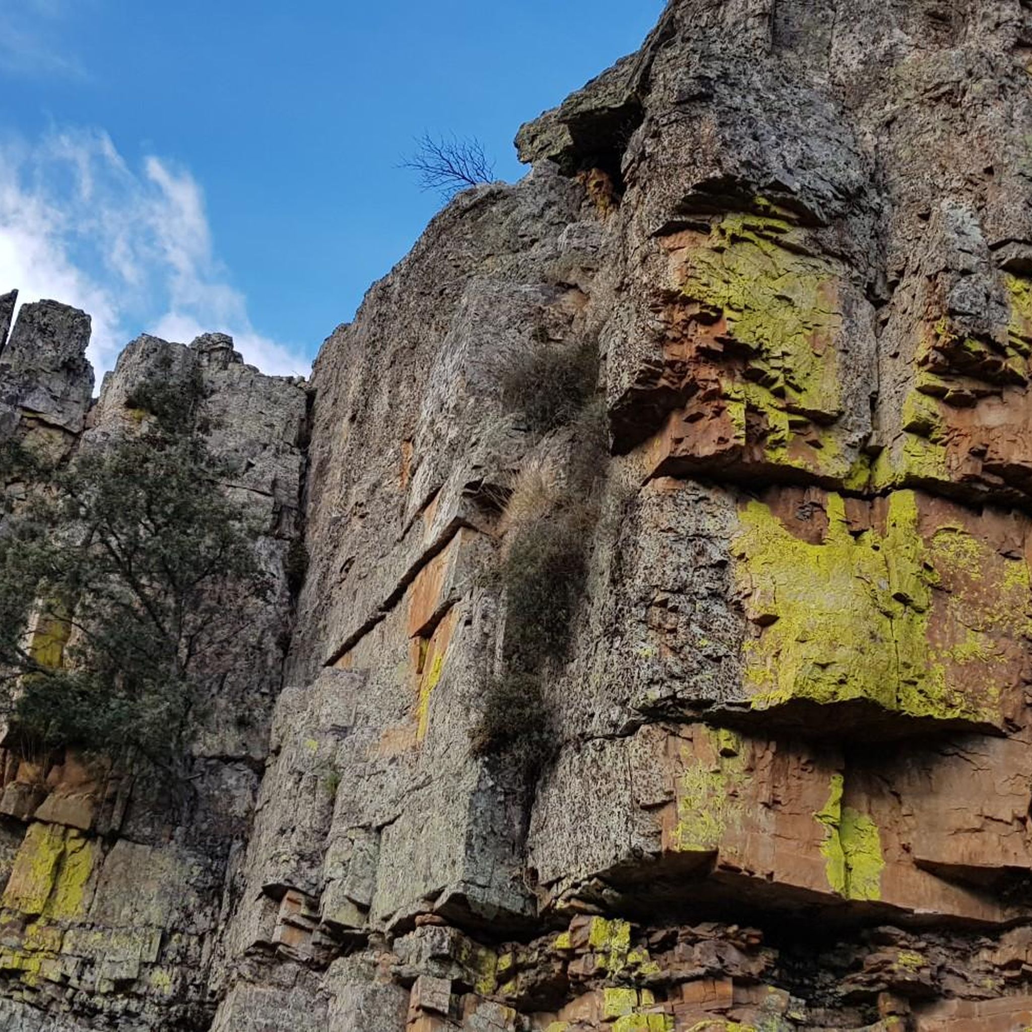
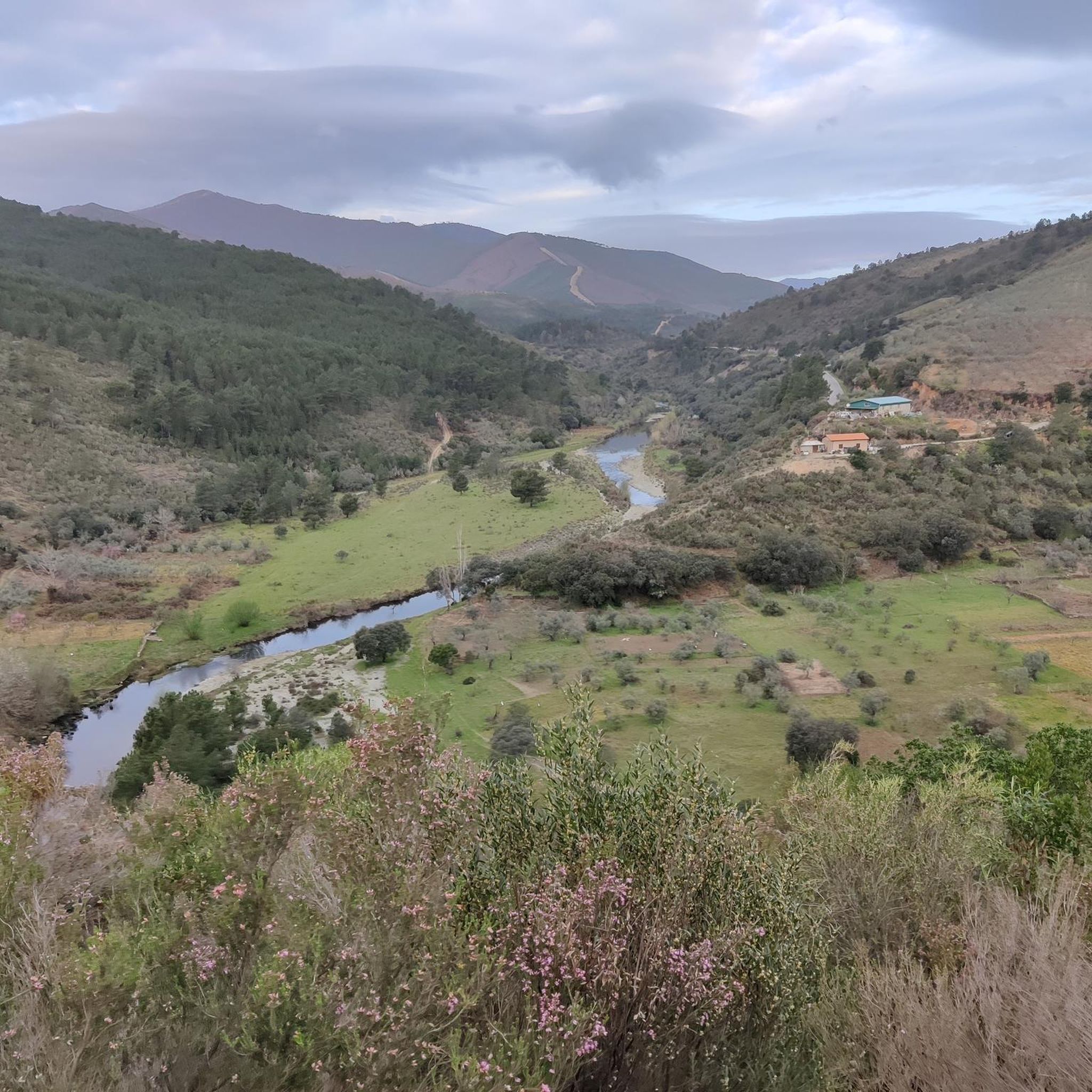
Hiking around Serradilla Del Arroyo offers exploration within the Las Batuecas-Sierra de Francia Natural Park, situated in the southwest of Salamanca province. The region features a diverse landscape of mountains, deep gorges, and lush forests, including abundant pine, oak, and holm oak trees. Prominent natural landmarks include Peña de Francia, rising to 1727 meters, and Peña Huevo at 1414 meters, both providing extensive views. The area is also characterized by numerous streams and the impressive Chorro de la Miacera waterfall.
…Last updated: July 11, 2026
5.0
(9)
42
hikers
Hard hike. Good fitness required. Sure-footedness, sturdy shoes and alpine experience required.
5.0
(1)
14
hikers
15.5km
05:46
700m
690m
Hike the challenging 9.7-mile Maillo - Peña de Francia Trail, gaining 2282 feet to panoramic views and a historic sanctuary.

Sign up for free
5.0
(1)
2
hikers
7.39km
02:19
280m
280m
Hike the moderate 4.6-mile Majá Robledo Trail in Las Hurdes, gaining 935 feet with stunning views from Pregonera Viewpoint.
5.0
(1)
14
hikers
14.9km
05:40
710m
710m
Hard hike. Very good fitness required. Sure-footedness, sturdy shoes and alpine experience required.
10
hikers
Moderate hike. Good fitness required. Easily-accessible paths. Suitable for all skill levels.
Get access to more routes and recommendations from other explorers.
Sign up for free
Already have an account?
Our route recommendations are based on thousands of hikes, rides, and runs completed by other people on komoot.
Start today with a free account
Your next adventure awaits.
Login or Signup
Popular around Serradilla Del Arroyo
Tips from the Community

Beautiful top with views and a restaurant run by modern monks.
0
0
Really such a top that stands out with over 1700 meters, offering a beautiful view all around.
12
0

It offers spectacular views over the Sierra de Francia, the Sierra de Béjar, the Campo Charro region, northern Cáceres, and even the Serra da Estrela in Portugal. You can drive up via the SA-203 road (from La Alberca or El Cabaco), although it is often closed due to snow in winter. There are also hiking trails, such as the GR-10, starting from La Alberca.
5
0
La Peña de Francia is one of the most emblematic places in the province of Salamanca, located in the Las Batuecas-Sierra de Francia Natural Park, within the municipality of El Cabaco, about 81 km from Salamanca and near La Alberca.
4
0

The viewpoint is located approximately 1 km from Peña de Francia along the GR10 trail (Sierra de Francia Crossing).
0
0

Peña de Francia is a peak known by many cyclists and is undoubtedly worth crowning. It gives its name to the wonderful Natural Park and with its 1,727 m high it offers you the best panoramic views in all directions. Take the time to take photos from the two viewpoints located next to the Sanctuary of Our Lady of Peña de Francia.
4
1

Undoubtedly the top to crown if you are in the area, not only does it give its name to the wonderful Natural Park, but at 1727 masl you will have the best panoramic views in all directions, the well-deserved reward for the physical effort to get here. It can be climbed through several alternative paths, some of great technical difficulty and with a lot of loose stone that I recommend to do on the way down. It is recommended to go up the track or road and enjoy the cool trialeras on the way down.
5
0
Not only does it give its name to the wonderful Natural Park, but its peak at 1,727 meters above sea level offers the best panoramic views in all directions. Right there, at the top, is the Sanctuary of Our Lady of Peña de Francia of the Dominican Order that is worth visiting. And of course, you cannot return without having taken the obligatory photos at the viewpoint and the Balcony of Santiago, two panoramic points par excellence. You can get here by several very picturesque paths and trails of varying difficulty.
5
0
Frequently Asked Questions
How many hiking trails are available around Serradilla Del Arroyo?
There are 4 hiking routes documented around Serradilla Del Arroyo on komoot, offering a variety of experiences within the Las Batuecas-Sierra de Francia Natural Park.
What kind of terrain can I expect on hikes in Serradilla Del Arroyo?
The region is characterized by a diverse landscape of mountains, deep gorges, and lush forests. You'll encounter trails winding through abundant pine, oak, and holm oak trees, with mountainous sections offering significant elevation changes.
Are there trails suitable for beginners or families in Serradilla Del Arroyo?
Yes, there is 1 easy route and 2 moderate routes available. For a moderate option, consider the Majá Robledo Trail, which is 4.6 miles (7.4 km) long and takes about 2 hours 19 minutes through varied forest and open landscapes.
Where can I find the best panoramic views in the area?
For breathtaking panoramic views, hike to Peña de Francia, which rises to 1727 meters. From the summit, you can enjoy stunning vistas from the Mirador and Balcón de Santiago viewpoints. Another excellent spot is Peña Huevo, offering 'postcard-worthy' views of the Batuecas and Sierra de Francia Natural Park. You can also visit the Pregonera Viewpoint.
Are there any notable natural features or landmarks to see on the trails?
Absolutely. Beyond the mountain peaks, you can explore the impressive Chorro de la Miacera (or Meancera) waterfall, approximately 100-110 meters high, located near El Gasco. The region is also crisscrossed by numerous streams, including the Ribera de la Serradilla, adding to the natural beauty.
What is the best time of year to go hiking in Serradilla Del Arroyo?
The region is suitable for outdoor activities throughout much of the year. Spring and autumn offer pleasant temperatures and vibrant landscapes. Summer can be warm, but the mountainous terrain provides cooler spots. Winter hiking is possible, but be prepared for colder conditions, especially at higher elevations like Peña de Francia.
Are there any circular hiking routes available?
Yes, there are circular routes. For example, the Via Crucis to Peña de Francia – Viewpoint Near Peña de Francia loop from Nava de Francia is a difficult 15.8 km loop. Another option is the moderate Pregonera Viewpoint loop from Casares de las Hurdes, which is 9.5 km.
What kind of wildlife might I encounter while hiking?
The region boasts a rich ecosystem. Keep an eye out for diverse wildlife such as wild boar, roe deer, mountain goats, and otters. Birdwatchers might spot eagle owls, among other species.
Is there a natural bathing area nearby for after a hike?
Yes, Serradilla del Llano, a nearby village, offers a natural bathing area with picnic and barbecue facilities, perfect for relaxing and cooling off after a day on the trails.
What do other hikers say about the trails in Serradilla Del Arroyo?
The routes in Serradilla Del Arroyo are highly rated by the komoot community, with an average score of 5.0 stars from over 10 reviews. Hikers often praise the stunning panoramic views, the diverse natural landscapes, and the challenging yet rewarding ascents to peaks like Peña de Francia.
Are there any challenging hikes for experienced trekkers?
Yes, there are several challenging routes. The Peña de Francia from El Casarito recreational area is a difficult 7.7 miles (12.4 km) trail. Another demanding option is the Maillo - Peña de Francia Trail, a difficult 9.7 miles (15.5 km) path traversing mountainous terrain.
Most popular routes around Serradilla Del Arroyo
Most popular attractions around Serradilla Del Arroyo

Get inspired with the komoot mobile app


Explore more
Browse the best Hikes in other regions.
