The best MTB trails around El Sauzal
4.6
(296)
2,078
riders
72
rides
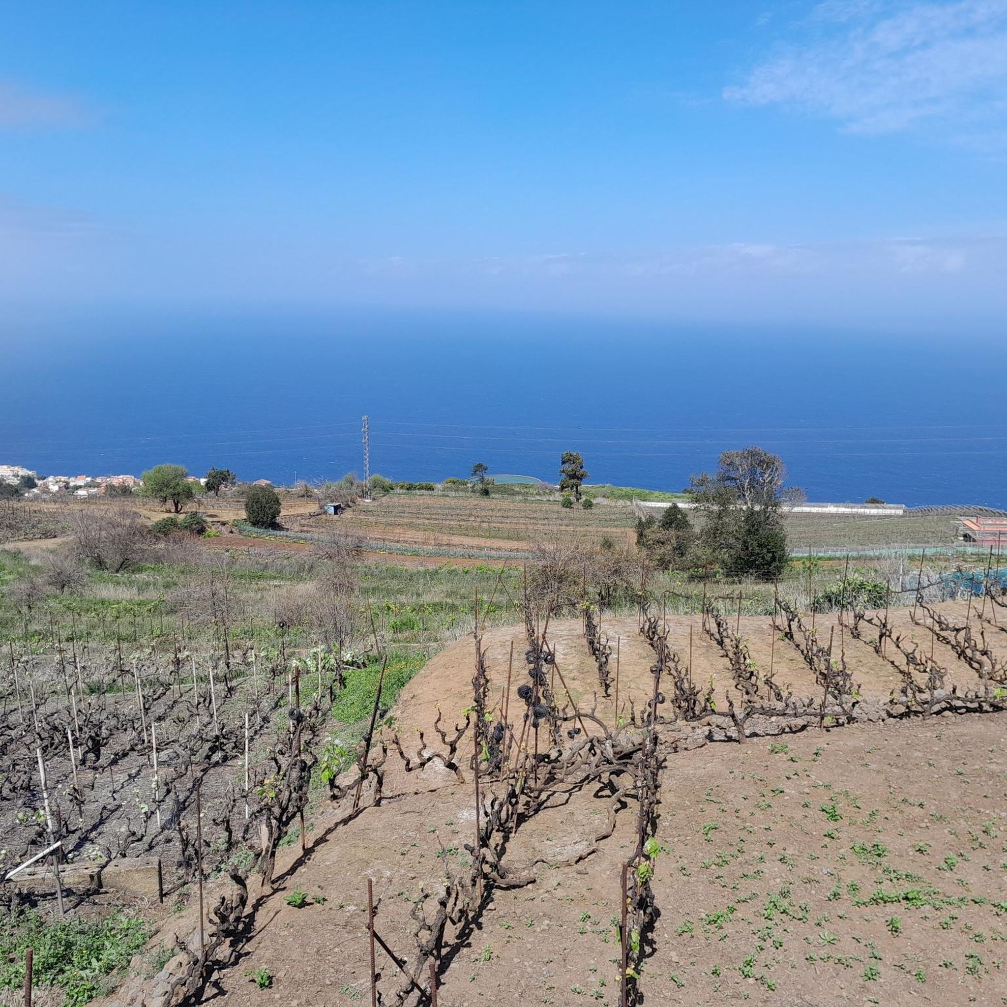
Mountain bike trails around El Sauzal are characterized by a rugged topography with significant elevation changes, climbing from the coast to over 1,500 meters above sea level. The region features dramatic landscapes, including deep ravines and coastal lava headlands. Riders can experience diverse natural environments, from extensive Canary Island pine forests within the Corona Forestal Natural Reserve to panoramic viewpoints offering vistas of the Atlantic and Mount Teide. This varied terrain provides a compelling environment for mountain biking.
Best mountain…
Last updated: July 2, 2026
4.9
(14)
138
riders
71.3km
05:13
1,480m
1,480m
Hard mountain bike ride. Very good fitness required. Suitable for all skill levels.
4.8
(31)
132
riders
22.5km
02:10
490m
490m
Moderate mountain bike ride. Good fitness required. Suitable for all skill levels.

Sign up for free
4.8
(10)
87
riders
40.7km
04:09
1,130m
1,130m
Hard mountain bike ride. Very good fitness required. Suitable for all skill levels.
4.6
(10)
70
riders
22.6km
02:10
480m
480m
Moderate mountain bike ride. Good fitness required. Advanced riding skills necessary.
16
riders
58.0km
06:43
2,030m
2,030m
Hard mountain bike ride. Very good fitness required. Suitable for all skill levels.
Get access to more routes and recommendations from other explorers.
Sign up for free
Already have an account?
Our route recommendations are based on thousands of hikes, rides, and runs completed by other people on komoot.
Start today with a free account
Your next adventure awaits.
Login or Signup
Popular around El Sauzal
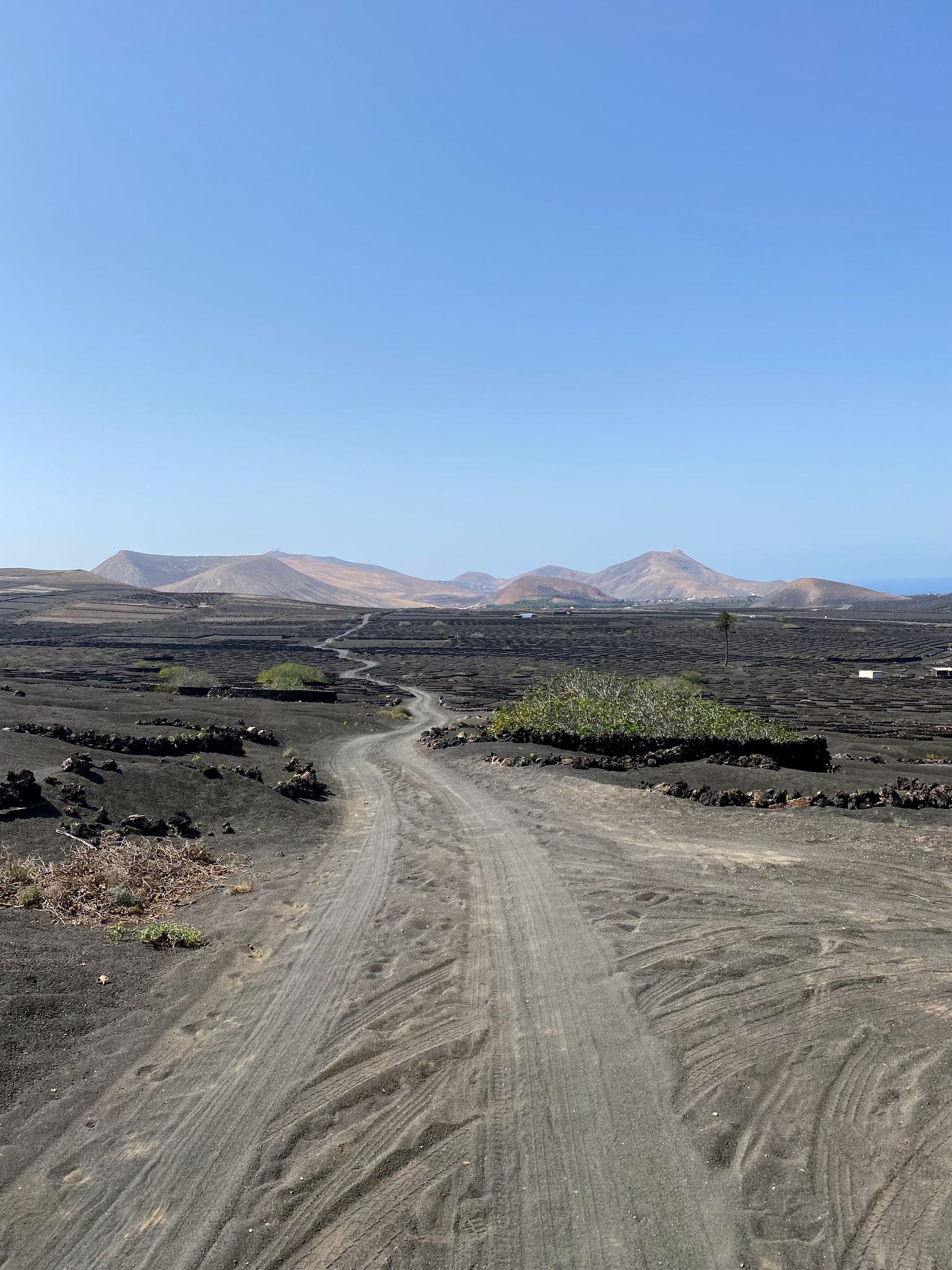
Bikepack in the Canary Islands – surprising adventures in the sun
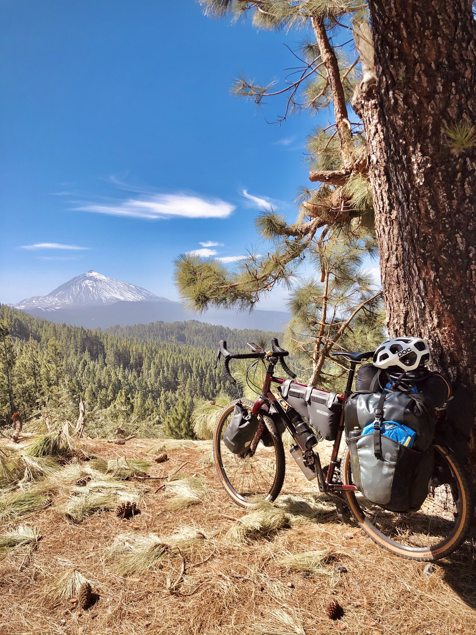
Gravel biking on Tenerife and La Gomera
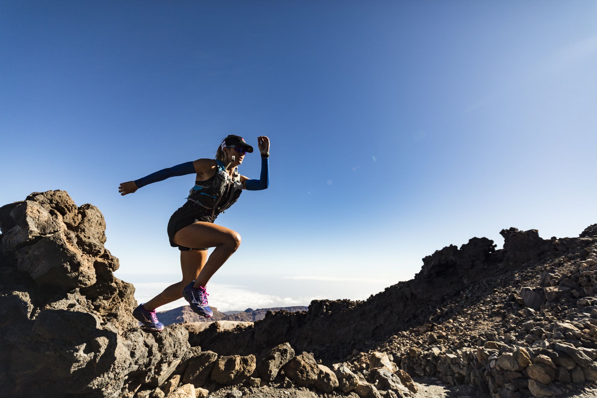
Trail running in Tenerife – dreamy routes between sea and mountain
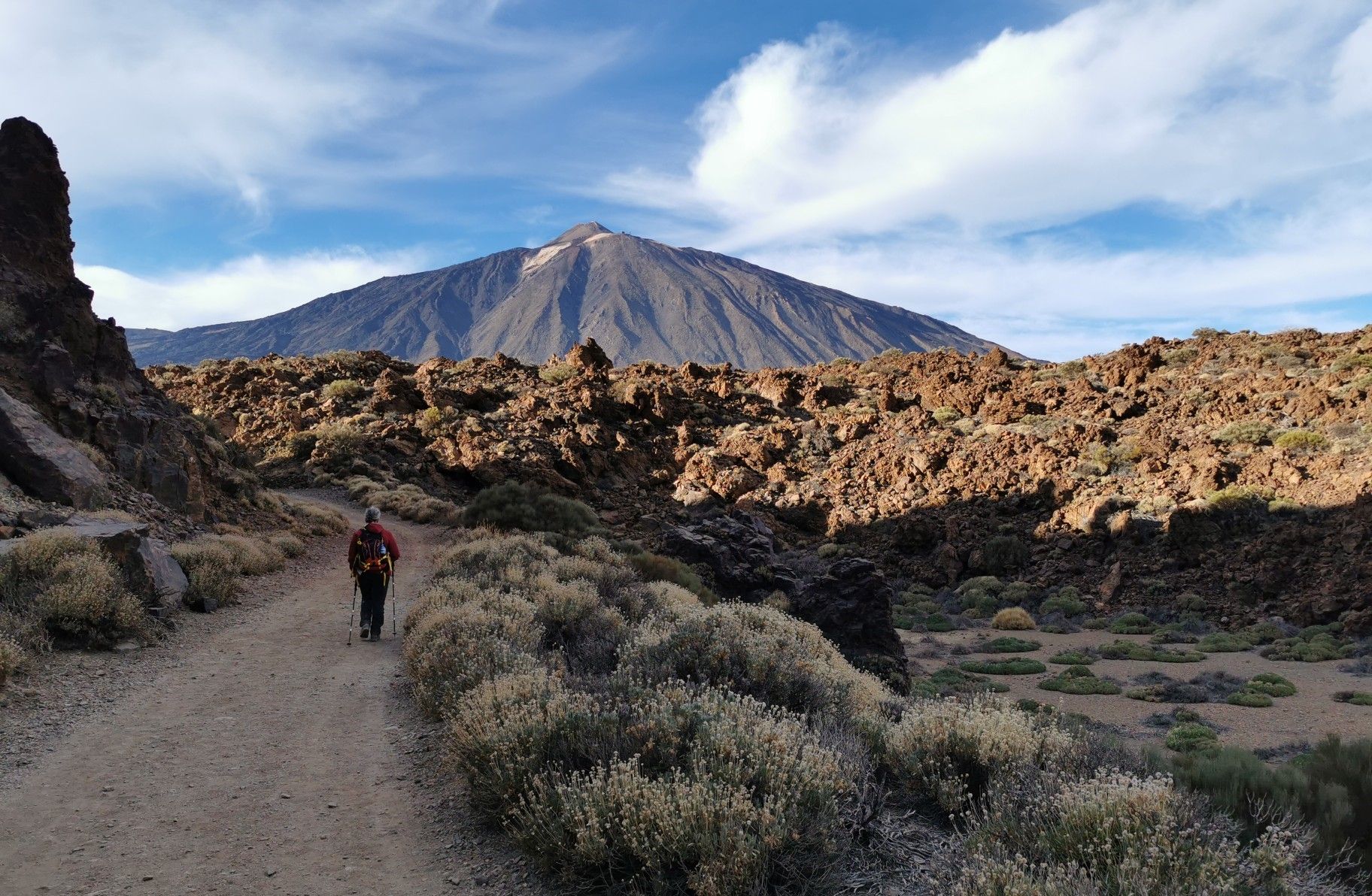
Tenerife from north to south – Camino Natural de Anaga-Chasna
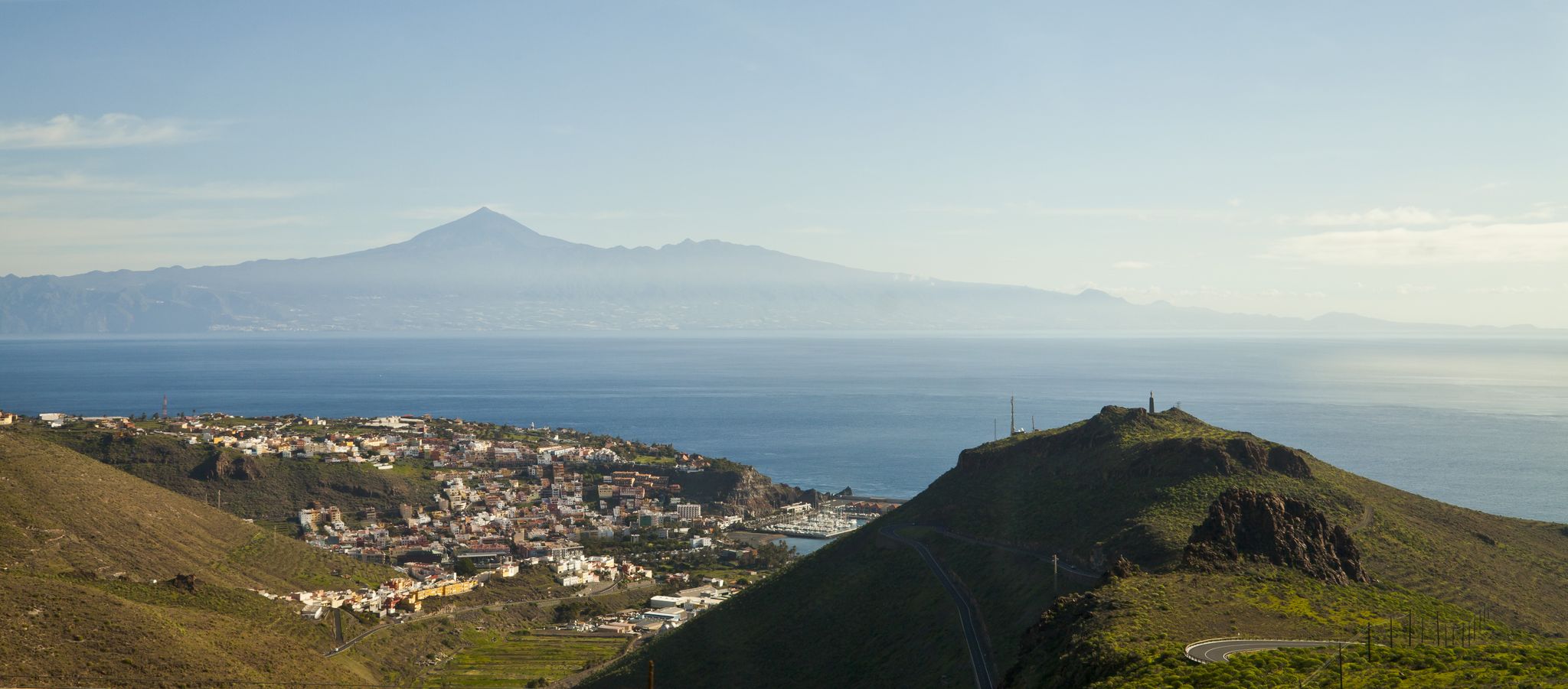
My favourite hikes on Tenerife and La Gomera
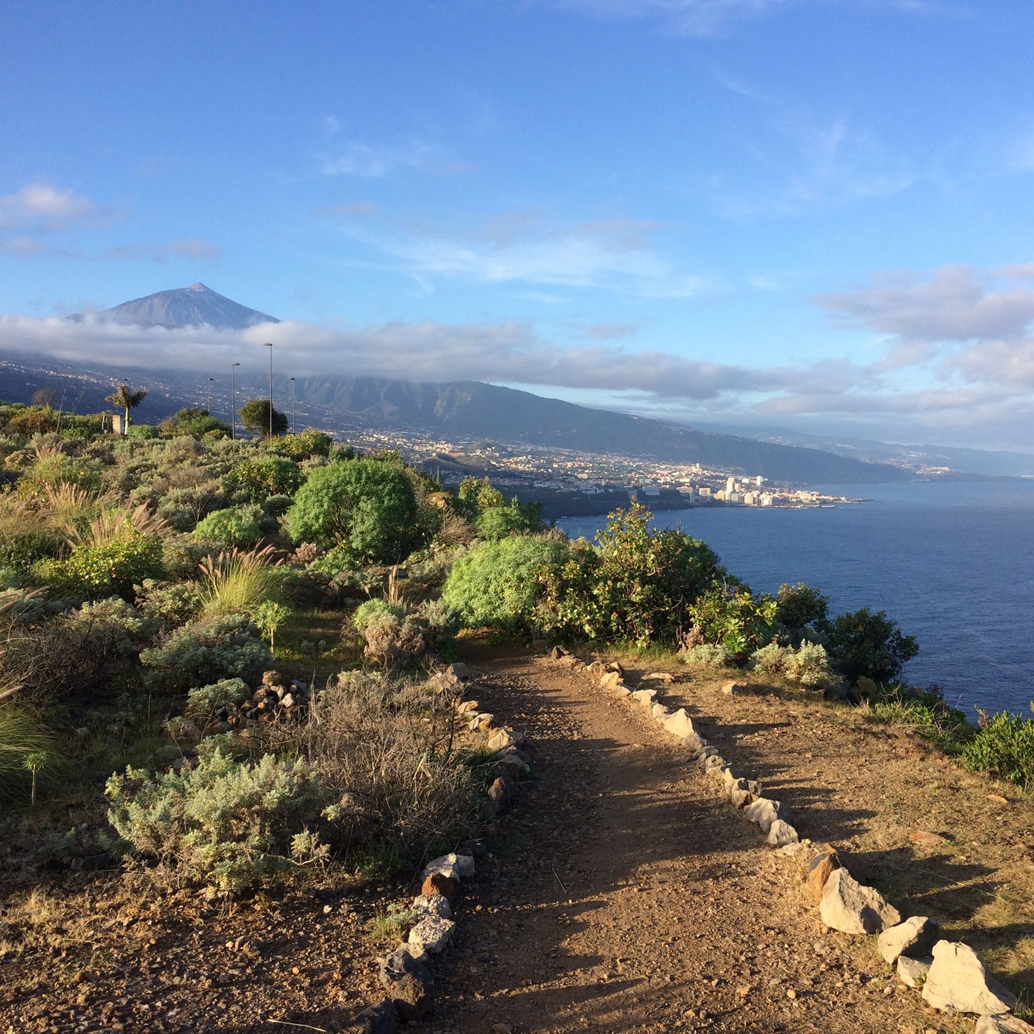
Hiking around El Sauzal
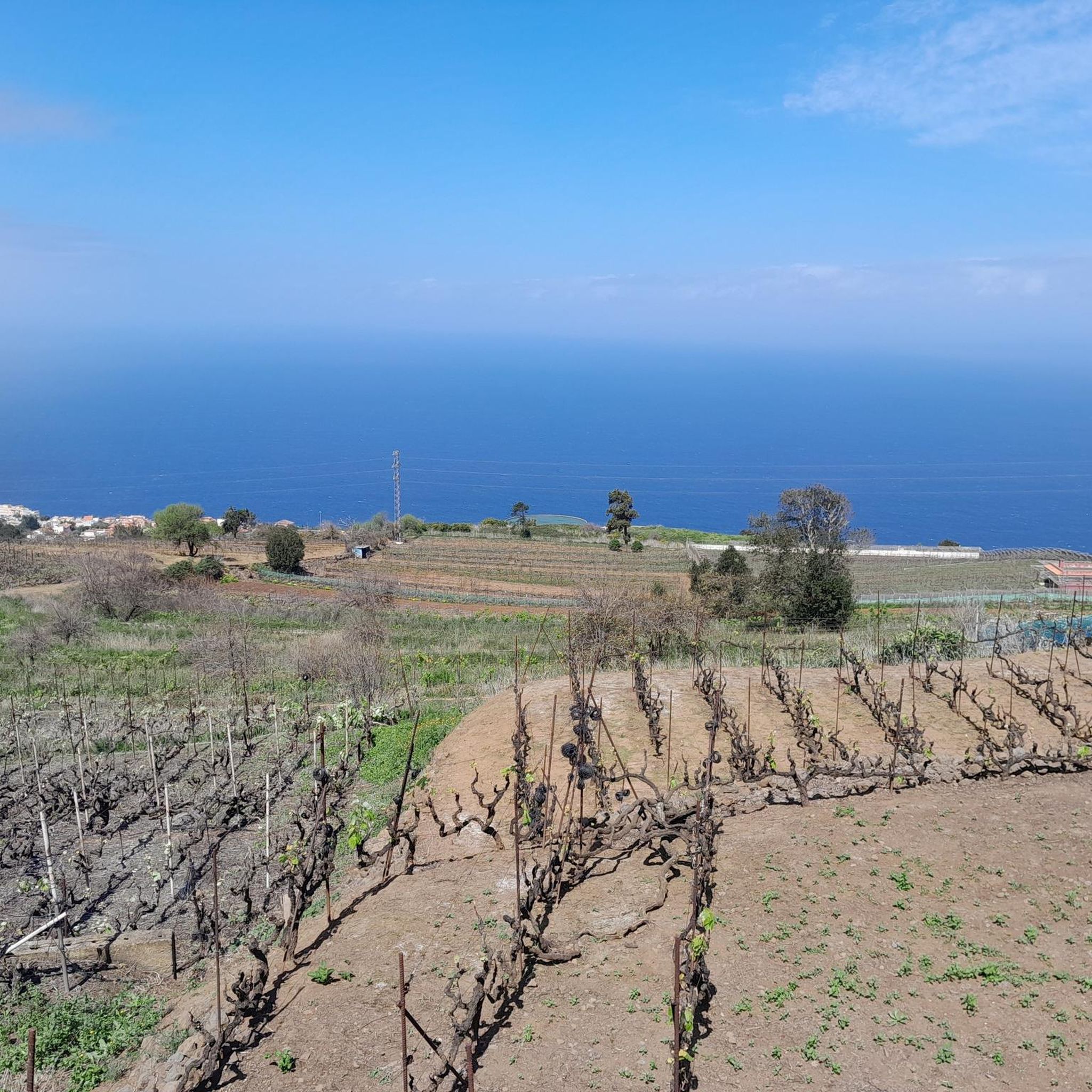
Road Cycling Routes around El Sauzal
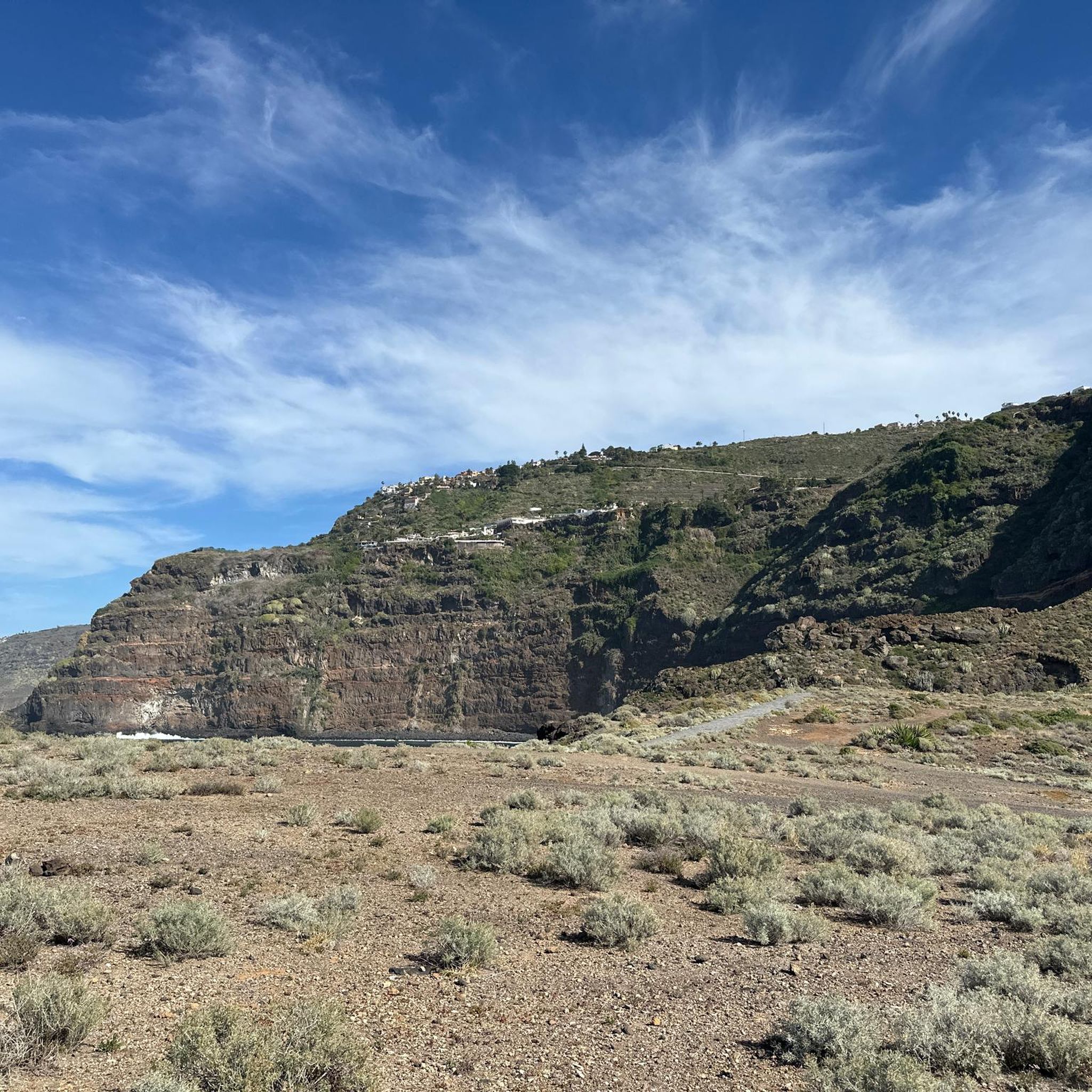
Running Trails around El Sauzal
Cycling around El Sauzal

Gravel biking around El Sauzal
Other adventures around El Sauzal


Tips from the Community

On winding roads up and down through shady and lush green forest. Top
0
0

The chapel is located in Lomo La Jara. The hiking trail is called Pista Montana el Haya; it's a great hiking route that leads along here amidst beautiful nature 💚.
3
1


Very easy to drive forest path
0
0

Incredible views in both directions and it feels like no matter where you go, the next highlight awaits you 😍
0
0

You can start well from here large parking lot
2
0

It's an easy walk. Normally. The last third is still closed because of the major fire a few months ago and the clean-up work that is taking place. It's better to ask beforehand.
1
0

Frequently Asked Questions
How many mountain bike trails are available around El Sauzal?
There are over 75 mountain bike trails around El Sauzal, offering a wide range of options for different skill levels. These include 5 easy, 48 moderate, and 22 difficult routes.
What kind of terrain and elevation changes can I expect on mountain bike trails in El Sauzal?
Mountain bike trails in El Sauzal feature a rugged topography with significant elevation changes, climbing from the coast to over 1,500 meters above sea level. You'll encounter diverse natural environments, from deep ravines and coastal lava headlands to extensive Canary Island pine forests within the Corona Forestal Natural Reserve. Slopes can reach up to 30 degrees, providing varied and challenging terrain.
What is the best time of year for mountain biking in El Sauzal?
Tenerife, including El Sauzal, benefits from a mild climate that allows for year-round mountain biking. However, the winter months generally offer cooler temperatures, which can be more comfortable for longer or more strenuous rides, especially at higher elevations.
Are there any family-friendly mountain bike routes in El Sauzal?
Yes, El Sauzal offers some family-friendly options. While many routes involve significant elevation, there are 5 easy trails available. For a moderate option that might suit families with some biking experience, consider the Las Aguilillas Forest Track – Cruz de Fune Chapel loop from El Pino, which is 13.9 miles (22.4 km) and leads through forest tracks.
Are dogs allowed on mountain bike trails in El Sauzal?
The specific regulations regarding dogs on mountain bike trails in El Sauzal can vary by trail and protected area. While the region is generally welcoming to outdoor activities, it's always best to check local signage or specific trail guidelines for the route you plan to ride, especially within natural reserves like the Corona Forestal.
Where can I find parking for mountain bike trails in El Sauzal?
Parking availability varies by trailhead. Many routes, especially those starting from villages like El Pino or El Montillo, will have designated or informal parking areas nearby. For example, routes like the Las Aguilillas Forest Track – Cruz de Fune Chapel loop from El Pino typically start from locations where parking is accessible.
What are some notable viewpoints or attractions I can see along mountain bike trails in El Sauzal?
El Sauzal is known for its panoramic views. Many trails offer breathtaking vistas of the Atlantic Ocean and Mount Teide. You might encounter viewpoints like those in Los Lavaderos Park. Specific attractions include the Cruz de Fune Chapel, which is part of several routes, and the Bridge over the Barranco de Toledo and the Cuevas de Vidrio. The coastline also features rugged lava headlands and natural pools.
Are there any circular mountain bike trails in El Sauzal?
Yes, many mountain bike trails in El Sauzal are designed as loops. For instance, the Cruz de Fune Chapel – Montaña El Haya Trail loop from El Pino is a 25.3 miles (40.7 km) circular route through diverse landscapes and forest. Another option is the Las Canales Picnic Area – Choza de Almadi loop from El Pirul, a difficult 57.7 km (35.9 miles) trail.
What do other mountain bikers enjoy most about mountain biking in El Sauzal?
The area is highly rated by the komoot community, with an average score of 4.6 stars from over 280 reviews. Reviewers often praise the dramatic elevation changes, the diverse landscapes ranging from coastal cliffs to pine forests, and the stunning panoramic views of the Atlantic and Mount Teide that provide a unique backdrop for rides.
Are there any advanced or challenging mountain bike routes in El Sauzal?
Absolutely. El Sauzal offers 22 difficult mountain bike routes for experienced riders. A challenging option is the Playa de Las Teresitas – Anaga Mountains loop from Tacoronte, a 44.7 miles (71.9 km) trail that traverses varied and demanding terrain from the coast into the Anaga Mountains.
Can I find cafes or places to eat near the mountain bike trails in El Sauzal?
While specific trailside cafes are not detailed, El Sauzal is a municipality with local amenities. You can typically find cafes, restaurants, and shops in the main town and surrounding villages, which are often good starting or ending points for rides. It's advisable to plan your route to pass through or near these areas for refreshment stops.
Most popular attractions around El Sauzal

Get inspired with the komoot mobile app


Explore more
Browse the best MTB trails in other regions.
