The best road cycling routes around Valverde
4.8
(14)
574
riders
15
rides
Road cycling around Valverde, the capital of El Hierro, offers a challenging experience due to its mountainous terrain and significant elevation changes. The region is characterized by steep streets, volcanic landscapes, and lush countryside, providing a diverse backdrop for road cyclists. Routes often feature substantial climbs and descents, with mostly paved surfaces suitable for road bikes. The island's unique geography, including its designation as a Biosphere Reserve, contributes to its distinct cycling environment.
Best road cycling routes around Valverde
- The…
Last updated: October 14, 2026
5.0
(3)
106
riders
Hard road ride. Very good fitness required. Mostly well-paved surfaces and easy to ride.
3
riders
26.8km
02:03
1,100m
1,100m
Hard road ride. Very good fitness required. Mostly well-paved surfaces and easy to ride.

5.0
(2)
53
riders
66.4km
04:27
2,070m
2,070m
Hard road ride. Very good fitness required. Some segments of this route may be unpaved and difficult to ride.
16
riders
47.0km
02:51
1,190m
1,190m
Hard road ride. Very good fitness required. Some segments of this route may be unpaved and difficult to ride.
16
riders
28.6km
01:41
700m
700m
Moderate road ride. Good fitness required. Mostly well-paved surfaces and easy to ride.
Get access to more routes and recommendations from other explorers.
Already have an account?
Our route recommendations are based on thousands of hikes, rides, and runs completed by other people on komoot.
Start today with a free account
Your next adventure awaits.
Popular around Valverde

La Palma, El Hierro y La Gomera – explore the Canaries’ Green Islands on foot
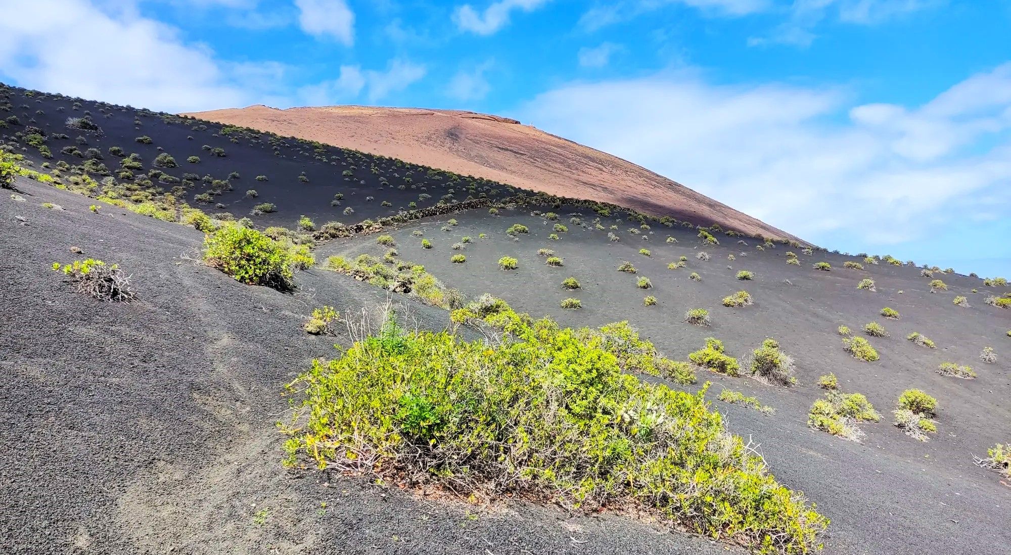
Canarian essence and traditional paths – El Hierro Loop
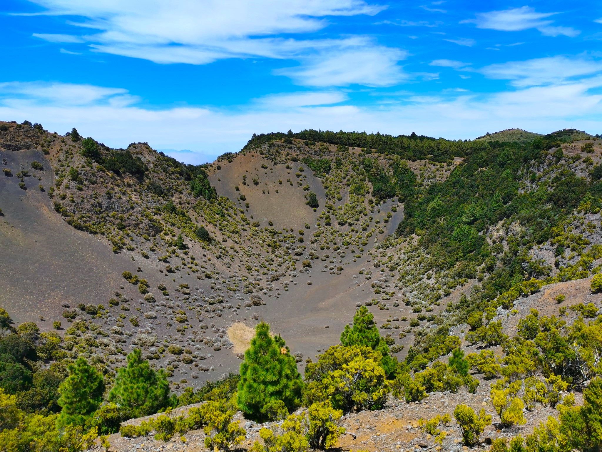
Land of secrets and volcanoes – El Hierro (GR 131)
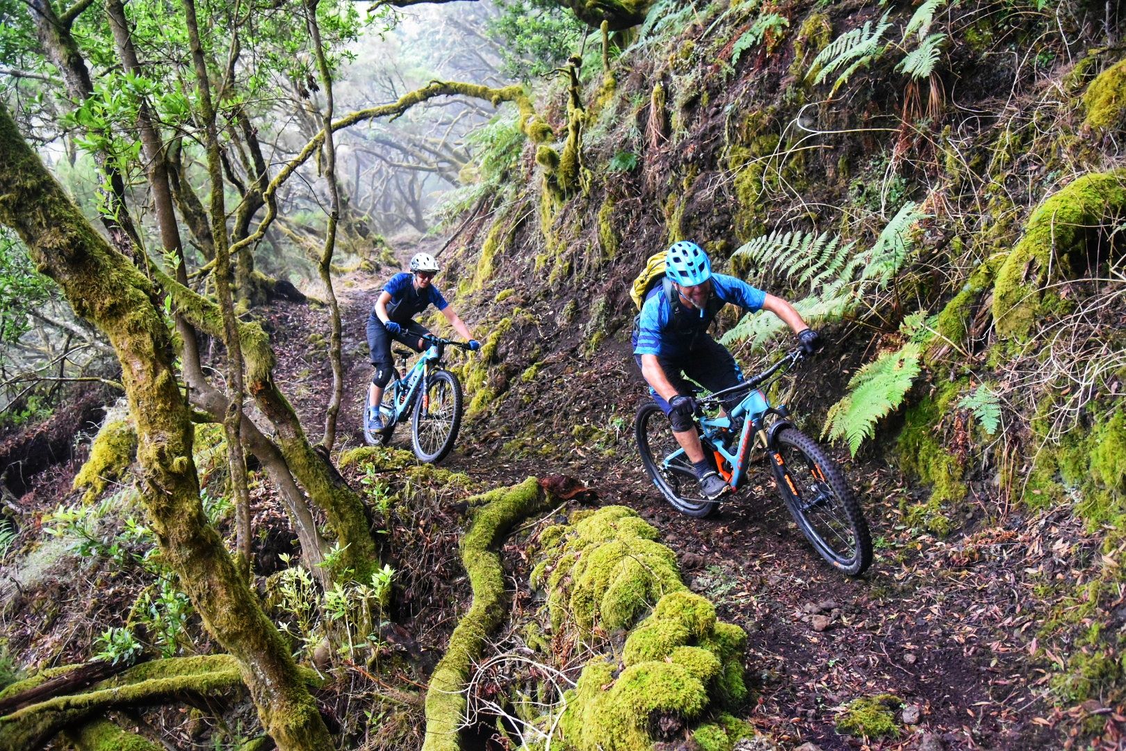
El Hierro: Cycling at the End of the World
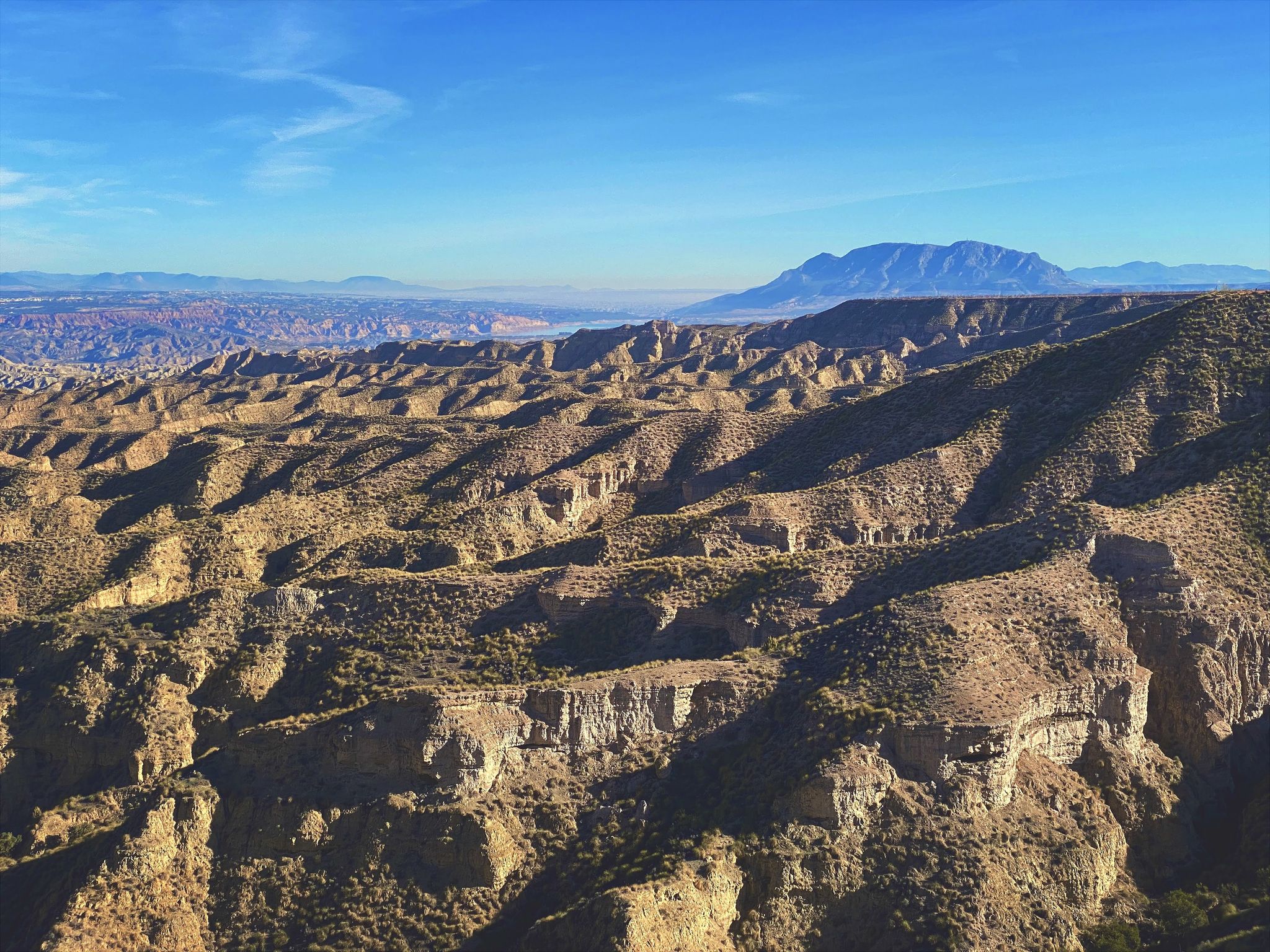
Discover Spain by gravel — a selection of must-see routes
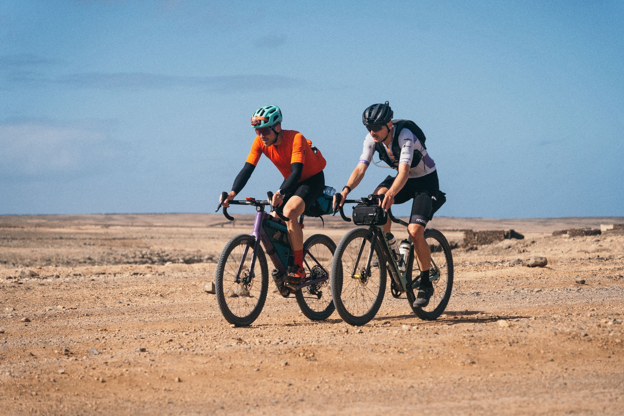
GranGuanche Audax Gravel — five islands in two and a half days
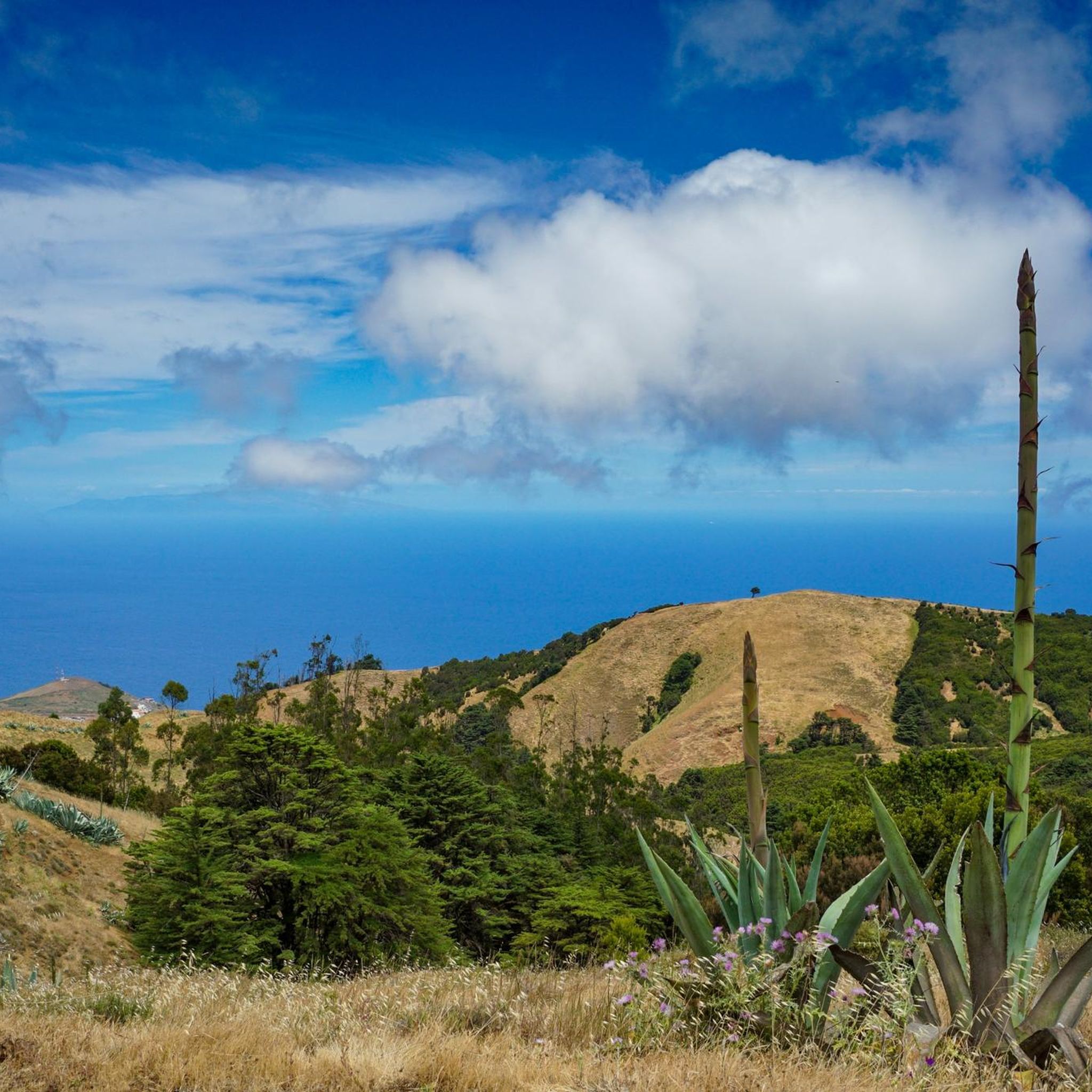
Hiking around Valverde
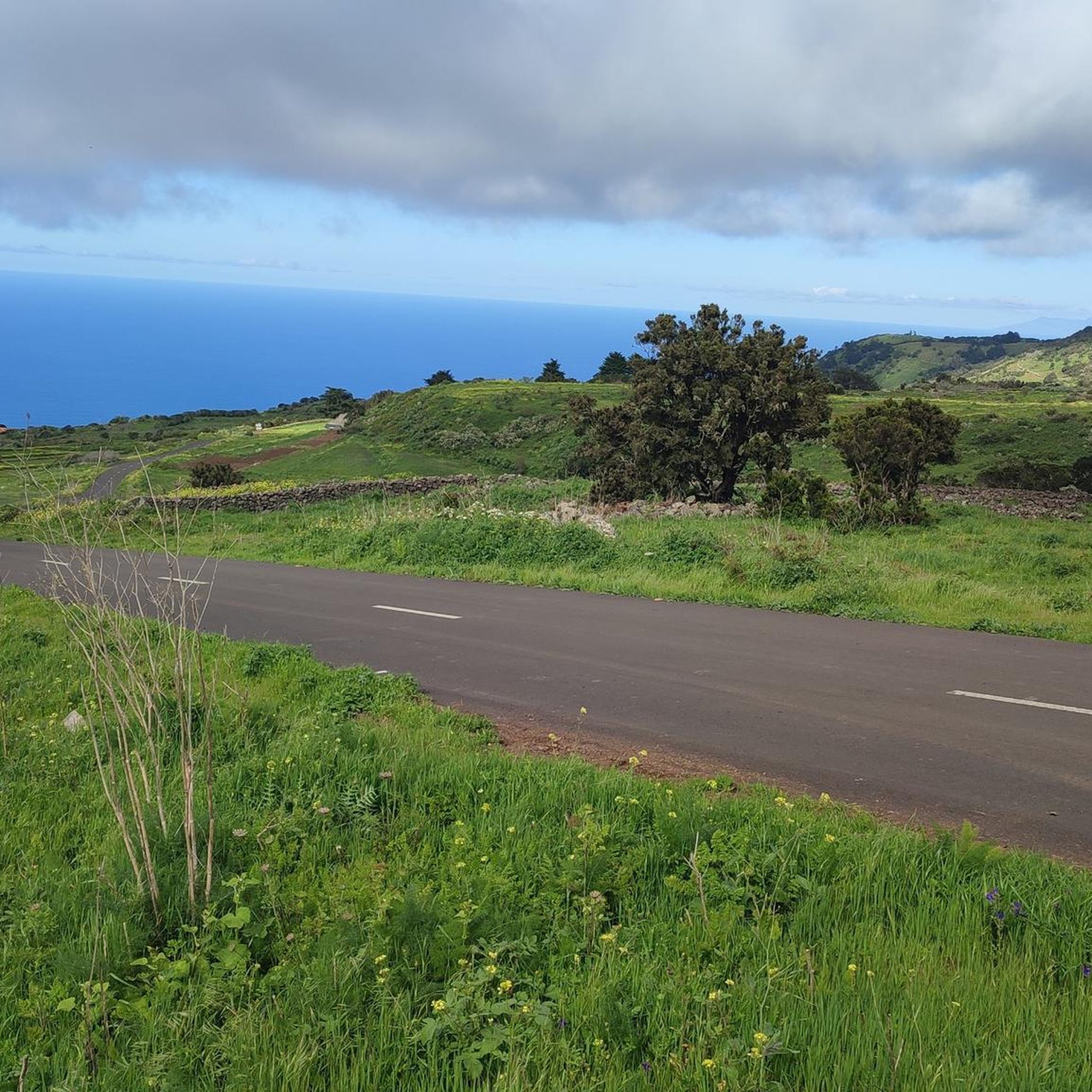
Cycling around Valverde
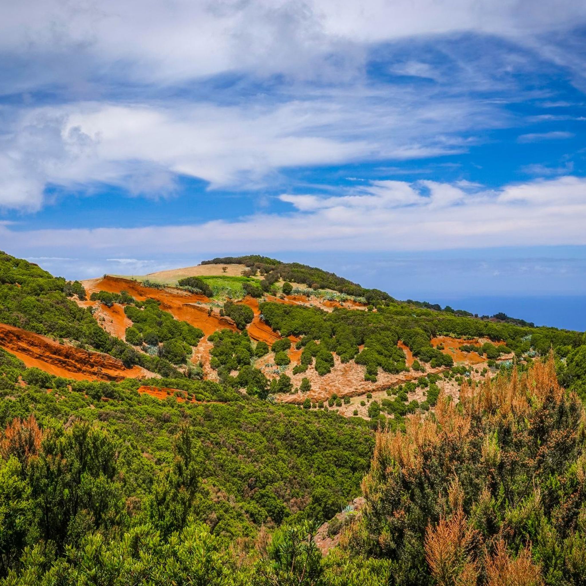
Running Trails around Valverde
MTB Trails around Valverde
Other adventures around Valverde


Tips from the Community

sehr schöne Kirche in Terassenlage
0
0

Very nice view into a very Canary Islands-typical volcanic crater
0
0

A natural balcony overlooking the northwestern tip of El Hierro, with views of the ocean, the cliffs, and the world's unique smallest hotel. A perfect place to watch the sea crash against the coast and feel the immensity of the Atlantic.
0
0
At 1,230 m above sea level, it offers one of the most spectacular views of El Hierro: El Golfo Bay, the north coast, and a tapestry of vineyards, pineapple and banana trees. It has parking, a rest area, and picnic tables, perfect for enjoying the natural beauty. Next to the Hermitage of Our Lady of Charity, it is also the starting point of the historic Jinama Trail and routes such as the Volcano Trail, which invite you to explore volcanic landscapes and unique corners of the island.
1
0

Attention, the path is closed due to falling rocks!
0
0

Visit the Mirador early or start the tour, for example to the Mirador de la Peña, early, as the Canarian fog rolls in at midday. For us it was 11am and within a few minutes the visibility was not only impaired, it was gone! The view is fantastic!
0
0
The building is a jewel designed by César Manrique, the great Canarian architect who dedicated his life to creating organic spaces. At La Peña, Manrique used numerous plants, large windows and masonry ceilings to create a welcoming and fresh atmosphere. Inside, visitors can enjoy the exclusive Mirador de La Peña Restaurant, with its extensive menu of Canarian dishes made with products such as tropical pineapple and the excellent fresh fish produced by this island, declared a UNESCO Biosphere Reserve.
0
0
https://www.holaislascanarias.com/miradores/el-hierro/mirador-de-la-pena/ From the La Peña viewpoint, in Guarazoca (north of the island of El Hierro), you can see the consequences of an overwhelming prehistoric event: the gigantic landslide that created the El Golfo valley millennia ago. The cliffs of this enormous indentation, 15 kilometers wide and one and a half kilometers high, are covered with dense native vegetation. At its foot lies a volcanic plain with vineyards and fruit trees that ends in the blue Atlantic. From La Peña you can also see the virgin Roques de Salmor, sanctuary of endemic giant lizards.
0
0
Frequently Asked Questions
What is the typical terrain and difficulty for road cycling routes around Valverde?
Road cycling around Valverde is characterized by its mountainous terrain and significant elevation changes. Routes often feature substantial climbs and descents, with mostly paved surfaces. The majority of routes are considered difficult (9 out of 15), with some moderate options (6 out of 15), making them suitable for cyclists seeking a challenging experience.
Are there any road cycling routes that offer panoramic views?
Yes, Valverde and the surrounding El Hierro island are known for breathtaking viewpoints. Many routes incorporate these scenic spots. For instance, the From Timijiraque to Mirador de La Estaca — circular by El Hierro route includes a climb to Mirador de La Estaca, offering panoramic vistas. Another option is the Mirador de Jinama loop from Valverde, which leads through varied terrain to the Mirador de Jinama viewpoint.
What kind of natural features and landmarks can I expect to see along the road cycling routes?
El Hierro's unique volcanic origins and designation as a Biosphere Reserve provide a rich backdrop. You can expect dramatic volcanic landscapes, lush vegetation, and stunning coastal features. Notable viewpoints like Malpaso Peak, Mirador de la Peña, and Mirador de Las Playas offer spectacular scenic overlooks. You might also encounter natural swimming pools like Pozo de las Calcosas and Charco Manso, or impressive gorges such as Barranco de Tiñor.
Are there any circular road cycling routes starting from Valverde?
Yes, many road cycling routes around Valverde are designed as loops, allowing you to start and finish in the same location. A popular option is the Mirador de Jinama loop from Valverde, which covers 45.4 km. Another challenging circular route is From Timijiraque to Mirador de La Estaca — circular by El Hierro, a 26.8 km path with significant elevation gain.
What do other road cyclists enjoy most about cycling in Valverde?
The area is highly rated by the komoot community, with an average score of 5.0 stars from over 5 reviews. Cyclists often praise the challenging mountainous roads, the diverse volcanic landscapes, and the numerous viewpoints that offer spectacular vistas of El Hierro's unique natural beauty.
How long are the road cycling routes typically around Valverde?
The road cycling routes around Valverde vary in length. For example, the Valverde, la Caldereta, and San Andrés – loop around Montañita del Guanche de Abajo – El Hierro route is 92.6 km long and takes approximately 5 hours 38 minutes. Shorter options like the La Estaca Viewpoint loop from Valverde cover about 20.1 km, taking around 1 hour 20 minutes.
Are there any easier road cycling routes for beginners or those looking for a less strenuous ride?
While many routes around Valverde are considered difficult due to significant elevation changes, there are some moderate options available. The La Estaca Viewpoint loop from Valverde is classified as moderate, covering 20.1 km with 646 meters of elevation gain, offering a less strenuous yet scenic experience.
What is the best time of year for road cycling in Valverde?
El Hierro generally enjoys a mild climate year-round, making it suitable for cycling in many seasons. However, given the significant elevation changes and mountainous terrain, spring and autumn often provide the most comfortable temperatures for challenging rides. Winter can also be pleasant, but it's always advisable to check local weather conditions before heading out.
How many road cycling routes are available in the Valverde area?
There are 15 road cycling routes available around Valverde, offering a variety of distances and difficulty levels for cyclists to explore the island's unique landscapes.
Are there any routes that pass by the airport or offer views from that area?
Yes, the Jinama Viewpoint – La Llanía Trail loop from El Hierro Airport is a challenging 60.0 km route that starts near the airport and takes you through varied terrain, including the Jinama Viewpoint and La Llanía Trail.
Is Valverde well-connected for cyclists using public transport or looking for parking?
Valverde, as the capital of El Hierro, serves as a central hub on the island. While specific details on dedicated cyclist parking or public transport options for bikes are not provided, its central location generally means better access to amenities and transport links compared to more remote areas. It's advisable to check local bus schedules for bike transport policies if you plan to use public transport.
Most popular routes around Valverde
Most popular attractions around Valverde

Get inspired with the komoot mobile app


Explore more
Browse the best Road cycling routes in other regions.
