The 12 Most Amazing Peaks around Puntallana
Best mountain peaks around Puntallana offer diverse landscapes from sea to high altitudes. This municipality on La Palma provides access to prominent mountain ranges and stunning viewpoints. The natural environment is characterized by fertile lands and laurel forests, reflecting the island's geological history. Visitors can explore a variety of mountain-related sites and trails.
Best mountain peaks around Puntallana
- The most popular mountain peaks is Pico de la Nieve (Snow Peak), a summit that offers a magnificent view. Visitors can…
Last updated: July 6, 2026
Roque de los Muchachos
Highlight • Summit
Translated by Google •
Tip by

Pico Bejenado
Highlight • Summit
Translated by Google •
Tip by

Sign up now to discover places like this
Get recommendations on the best single tracks, peaks, & plenty of other exciting outdoor places.
Sign up for free
Pico Fuente Nueva
Highlight • Summit
Translated by Google •
Tip by
Pico de la Cruz
Highlight • Summit
Translated by Google •
Tip by
Raven Rock
Highlight • Viewpoint
Translated by Google •
Tip by

Sign up for free to discover even more peaks around Puntallana.
Sign up for free
Already have an account?
Start today with a free account
Your next adventure awaits.
Login or Signup
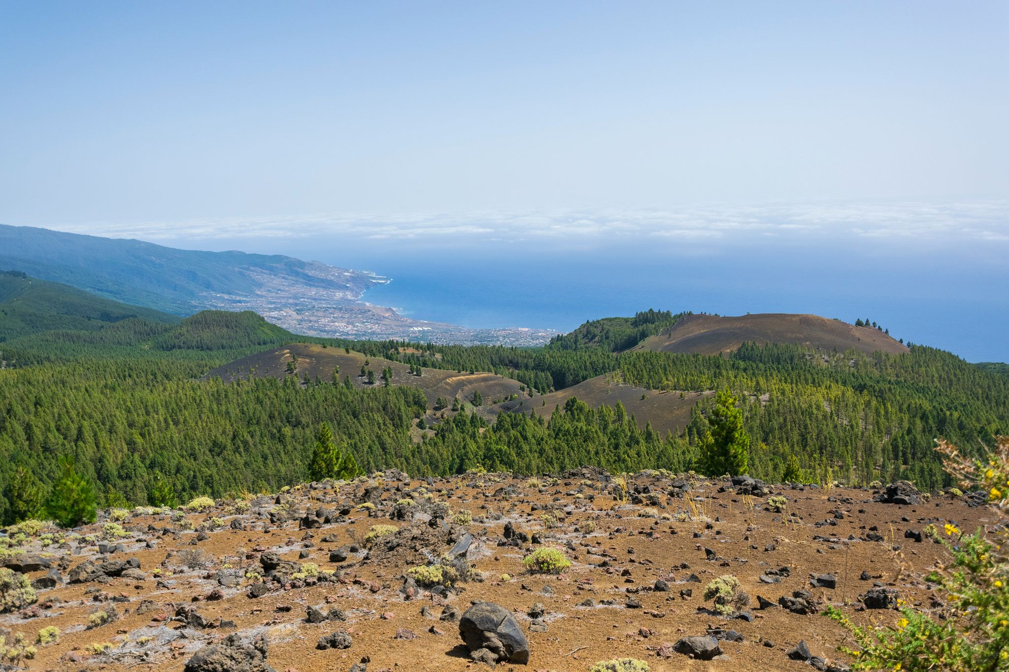
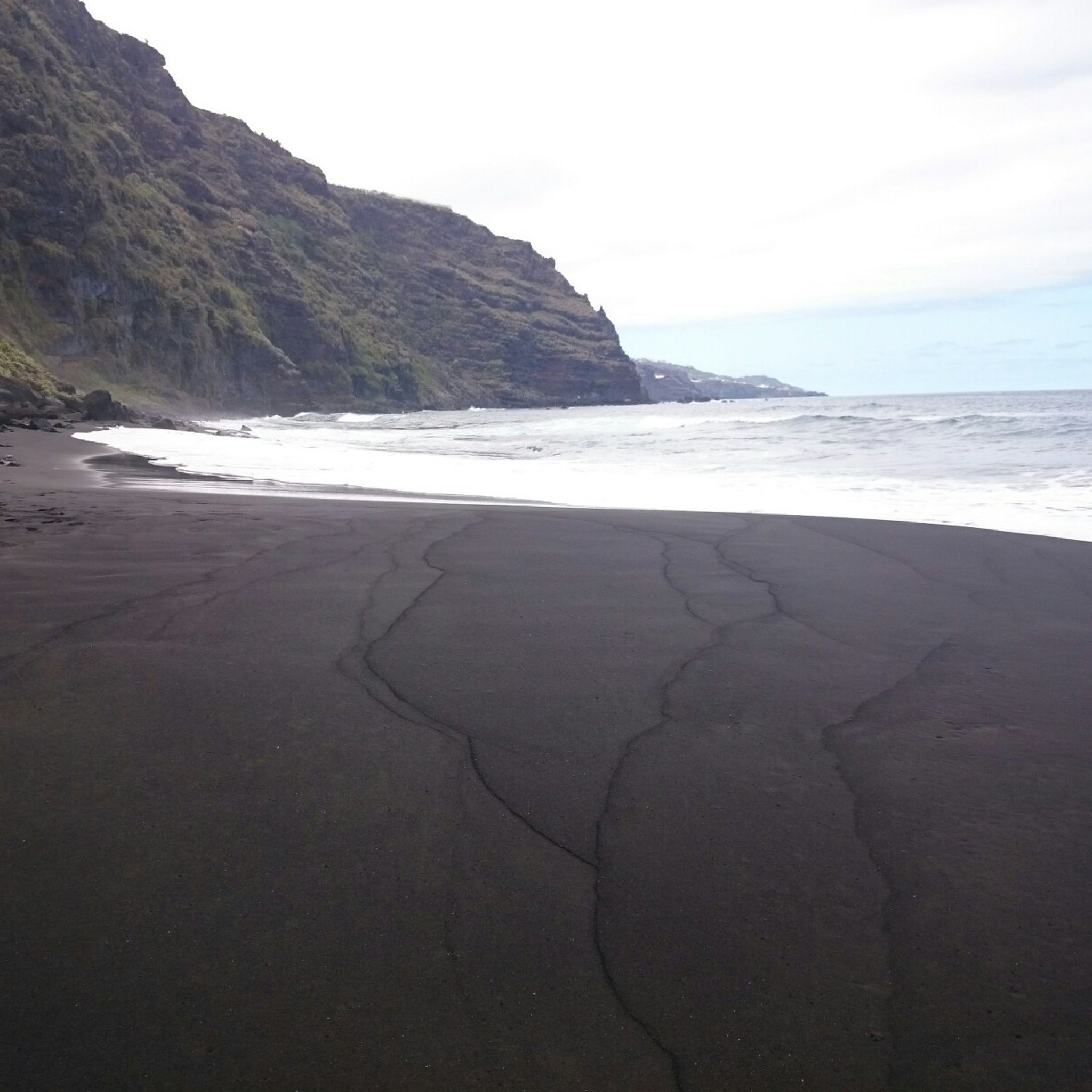
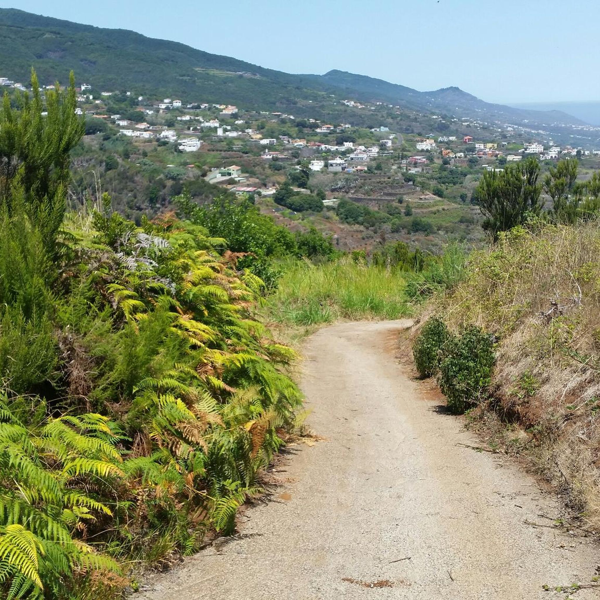
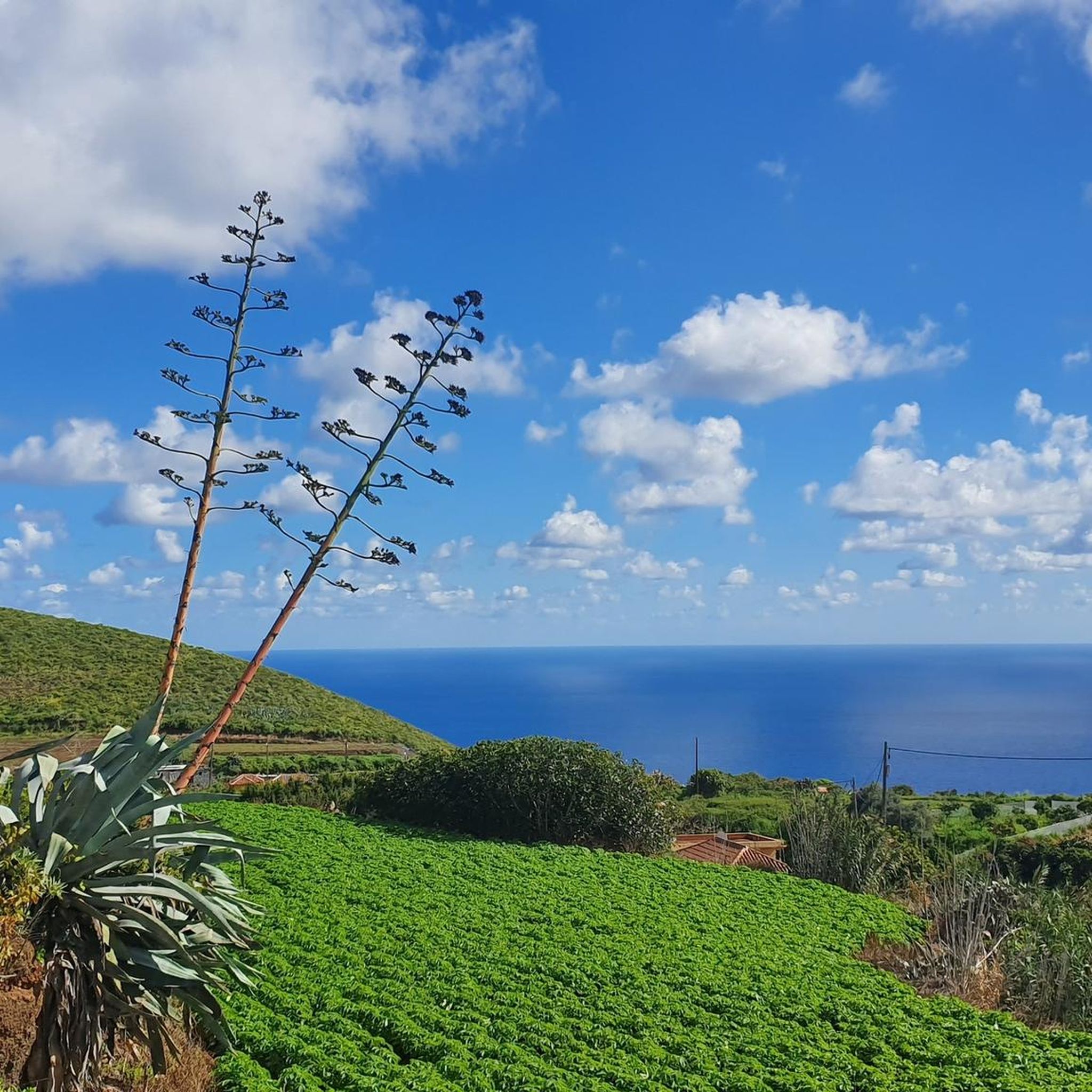
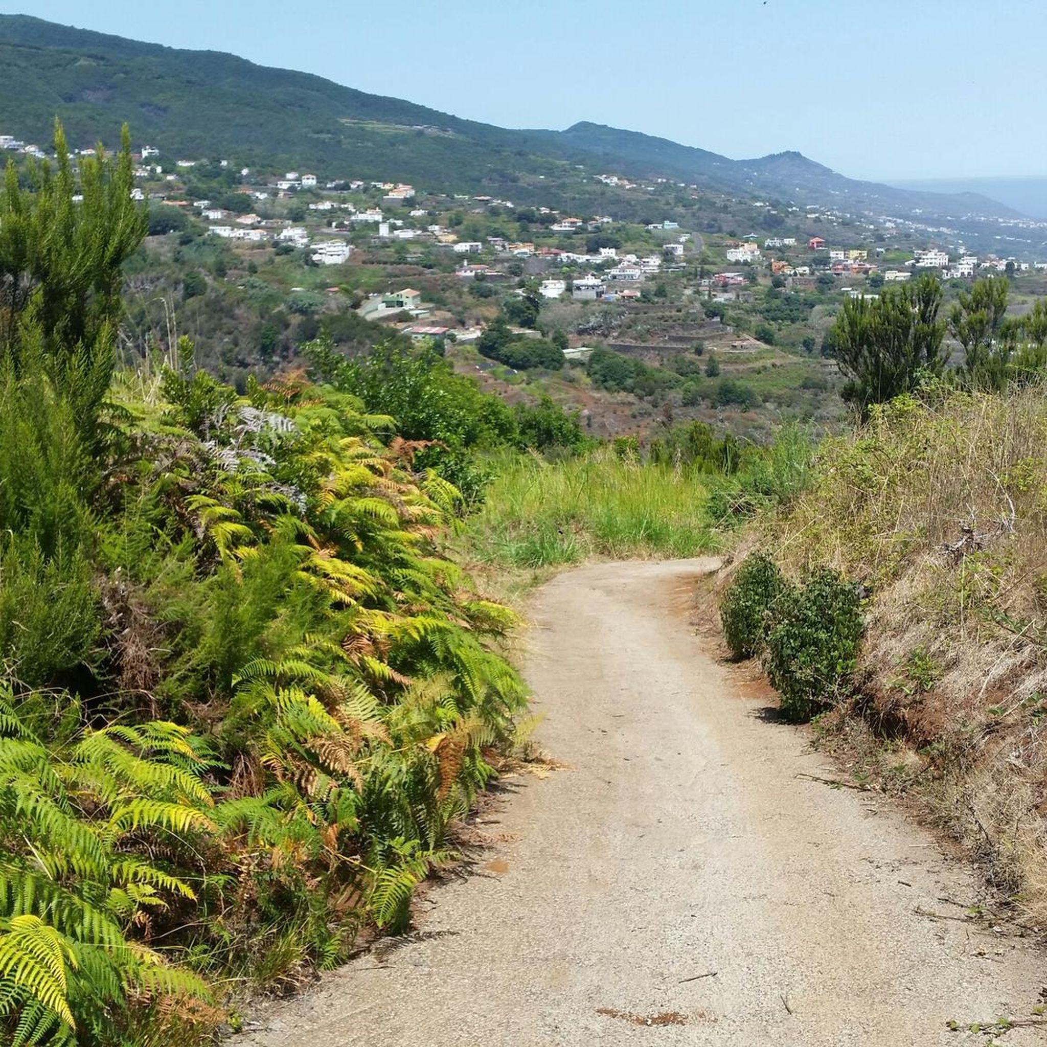

Other adventures around Puntallana

Tips from the Community

From the summit of Pico de la Cruz, there's a beautiful view that's well worth every effort! You won't be at the summit long before the summit lords come looking to see if they can find anything. In any case, I consider a visit to the summit a must.
0
0

Please do not feed the namesakes of the "Rock of Ravens", who can often be seen in person (strictly forbidden!)
0
0

Geologically speaking, this is an extremely fascinating erosion crater, whose 2 million-year-old volcanic history is evident in its spectacular steep slopes. Inside the 9-kilometer-diameter crater lies the famous national park of the same name, which offers beautiful hiking trails.
0
0
Magnificent view, 2,366 meters above sea level - the second highest point on La Palma after the Roque de los Muchachos.
0
0

Small peak, you can take it in as you pass by. Just a few meters and you're at the top. Nothing spectacular.
0
0
If the weather is good, the short walk to the Pico de la Cruz is worth it. Great views across to Tenerife, Teide and Gomera, and if you're lucky you can also see El Hierro.
0
0

The views are spectacular but if it is not on foot, prepare to suffer as much as you can imagine to get to this point, and access by e-bike or MTB is also prohibited. The Pico de la Cruz closes the Caldera de Taburiente in its northeastern area. It reaches an altitude of 2351 m above sea level. n. m. Access The PR-LP 7 trail is a Short Distance trail in La Palma (Canary Islands, Spain) that connects Pico de la Cruz with Los Sauces. The total length of the route is 16,300 meters. There are 2150 meters of elevation gain. The PR-LP trail is a Short Distance trail in La Palma (Canary Islands, Spain) that connects Pico de la Cruz with Barlovento. The total length of the route is 17,200 meters. There are 1810 meters of elevation difference.
0
0

Good opportunity for a rest (sitting under trees)
2
0
Frequently Asked Questions
Which mountain peaks offer the most spectacular views around Puntallana?
For truly spectacular views, consider visiting Roque de los Muchachos, the highest point on La Palma, known for its panoramic vistas of the Taburiente caldera and the 'sea of clouds'. Another excellent choice is Pico Bejenado, which provides a wonderful 360-degree view, often including neighboring islands like El Hierro, La Gomera, and Tenerife on clear days.
Are there any other significant peaks worth exploring in the region?
Absolutely. Beyond the most popular, Pico Fuente Nueva, the second-highest peak on La Palma, offers incredible views of the Taburiente caldera and features a unique rock formation resembling a man's face. Also, Pico de la Cruz provides impressive views extending to Tenerife, La Gomera, and El Hierro, marking the northeastern boundary of the caldera.
What kind of natural features can I expect to see when visiting the mountains near Puntallana?
The region is rich in diverse natural features. You'll encounter lush laurel forests, especially in areas like Cubo de la Galga, which are remnants of the island's geological past. The volcanic landscape offers dramatic ravines like Barranco de la Galga and Barranco de la Fuente, and stunning coastal views from various viewpoints. High-altitude peaks provide unique perspectives of the Taburiente caldera and the Atlantic Ocean.
What are some of the best viewpoints in and around Puntallana that don't require a strenuous hike?
For accessible scenic overlooks, consider Mirador San Bartolomé, located above La Galga, offering excellent views of the green gorges and coastline. Another must-visit is Mirador de Salto del Enamorado, which provides one of the best perspectives of La Palma's eastern side, including the Cubo de La Galga laurel forest and the ocean, especially beautiful during sunrises.
What outdoor activities can I do near the mountain peaks around Puntallana?
The area around Puntallana is excellent for various outdoor activities. You can find numerous hiking trails, including popular routes through the Cubo de la Galga laurel forest. For cycling enthusiasts, there are many options, including challenging road cycling routes like the Roque de los Muchachos Loop. Mountain biking is also popular, with trails such as 'The Cane Trail (GR 131)' and 'Transvulcania Trail'. You can explore more routes on the MTB Trails around Puntallana, Cycling around Puntallana, and Road Cycling Routes around Puntallana guide pages.
Are there family-friendly options for enjoying the mountain scenery?
Yes, while many peaks involve challenging hikes, some viewpoints and areas are more family-friendly. Mirador San Bartolomé and Mirador de Salto del Enamorado offer stunning views with easier access. For a gentle walk, parts of the Cubo de la Galga laurel forest have trails suitable for families, allowing you to experience the lush vegetation without extreme difficulty. Always check specific trail conditions for suitability.
What is the best time of year to visit the mountain peaks around Puntallana?
La Palma generally enjoys a mild climate year-round. However, for mountain peaks, the spring and autumn months (April-May and September-October) often offer the most pleasant weather for hiking, with comfortable temperatures and clear skies. Winter can bring colder temperatures and sometimes snow at higher altitudes, while summer can be warm, though the altitude provides some relief. Always check local weather forecasts before heading out.
What are the typical difficulty levels for hiking the mountain peaks in this area?
The difficulty levels vary significantly. Many of the prominent peaks like Roque de los Muchachos, Pico Bejenado, and Pico de la Nieve are categorized as challenging or intermediate, often involving significant elevation gain and rugged terrain. However, there are also easier trails and accessible viewpoints for those seeking less strenuous options. Always review the specific route details and your fitness level before attempting a hike.
Are there any cultural or historical sites associated with the mountain areas?
Yes, the region has some interesting cultural connections. Mirador San Bartolomé is accompanied by a 17th-century chapel, adding a historical touch to the scenic views. Mirador de Salto del Enamorado is also associated with a romantic local legend, enriching the visitor experience. While the peaks themselves are natural formations, local lore, such as the 'man's face' on Pico Fuente Nueva, connects them to the island's ancient inhabitants.
Where can I find information about hiking permits for national parks in La Palma?
For hiking within national parks or protected areas on La Palma, such as the Caldera de Taburiente National Park, certain routes may require permits, especially for access to specific zones or during peak times. It's advisable to check the official La Palma tourism website or the national park visitor centers for the most up-to-date information on permit requirements and how to obtain them. You can find general information about viewpoints and routes on the Visit La Palma website.
What do visitors enjoy most about the mountain peaks around Puntallana?
Visitors consistently praise the unparalleled panoramic views from the high peaks, especially the 'sea of clouds' phenomenon. The diverse natural beauty, from lush laurel forests to dramatic volcanic landscapes, is a major draw. Many also appreciate the sense of accomplishment after a challenging ascent and the opportunity for stargazing from locations like Roque de los Muchachos, which hosts an astrophysical observatory.
Most popular attractions around Puntallana

Get inspired with the komoot mobile app


Explore more
See even more amazing summits around Puntallana with these guides:
