The best walks and hikes around Le Barcarès
4.5
(431)
3,029
hikers
50
hikes
Hiking around Le Barcarès offers diverse landscapes, situated between the Mediterranean Sea and the Etang de Salses-Leucate. The region features coastal paths, lagoon edges, and views of distant mountain ranges like the Pyrenees. Protected natural sites, such as Parc des Dosses, provide biodiversity refuges with varied flora and fauna. This area presents a blend of wetland and arid environments, suitable for outdoor exploration.
Best hiking trails around Le Barcarès
- The most popular hiking route is Parc des Dosses trail –…
Last updated: August 18, 2026
4.9
(8)
54
hikers
6.91km
01:45
10m
10m
Easy hike. Great for any fitness level. Easily-accessible paths. Suitable for all skill levels.
4.7
(3)
35
hikers
Easy hike. Great for any fitness level. Easily-accessible paths. Suitable for all skill levels.

Sign up for free
4.8
(8)
53
hikers
7.53km
01:54
10m
10m
Easy hike. Great for any fitness level. Easily-accessible paths. Suitable for all skill levels.
4.3
(3)
38
hikers
12.4km
03:08
20m
20m
Moderate hike. Good fitness required. Easily-accessible paths. Suitable for all skill levels.
4.5
(2)
31
hikers
11.3km
02:51
10m
10m
Moderate hike. Good fitness required. Easily-accessible paths. Suitable for all skill levels.
Get access to more routes and recommendations from other explorers.
Sign up for free
Already have an account?
Our route recommendations are based on thousands of hikes, rides, and runs completed by other people on komoot.
Start today with a free account
Your next adventure awaits.
Login or Signup

Tips from the Community

The ride is mostly on cycling paths with nice views and beautiful sceneries. The destination is unique and the many oyster shacks will serve oysters and other shell fish fresh from the catch and raw. Keep in mind that they don't serve anything else. With your meal you can get water, soft drinks or wine. The prices are very reasonable. We chose to go back along the litoral 8 via Toreilles Plage, which makes other a sixty plus km ride. Well worth it. Tip: check the weather as it can be very windy in this area. We had a 35km head wind going, but that was in our favour on the return.
0
0

Not seen... either it's no longer there or the GPS point is badly placed...
0
0

A very quiet and easy cycle path along the Agly.
1
0

Funny gimmick on the side... It's varied and cleverly done.
0
0
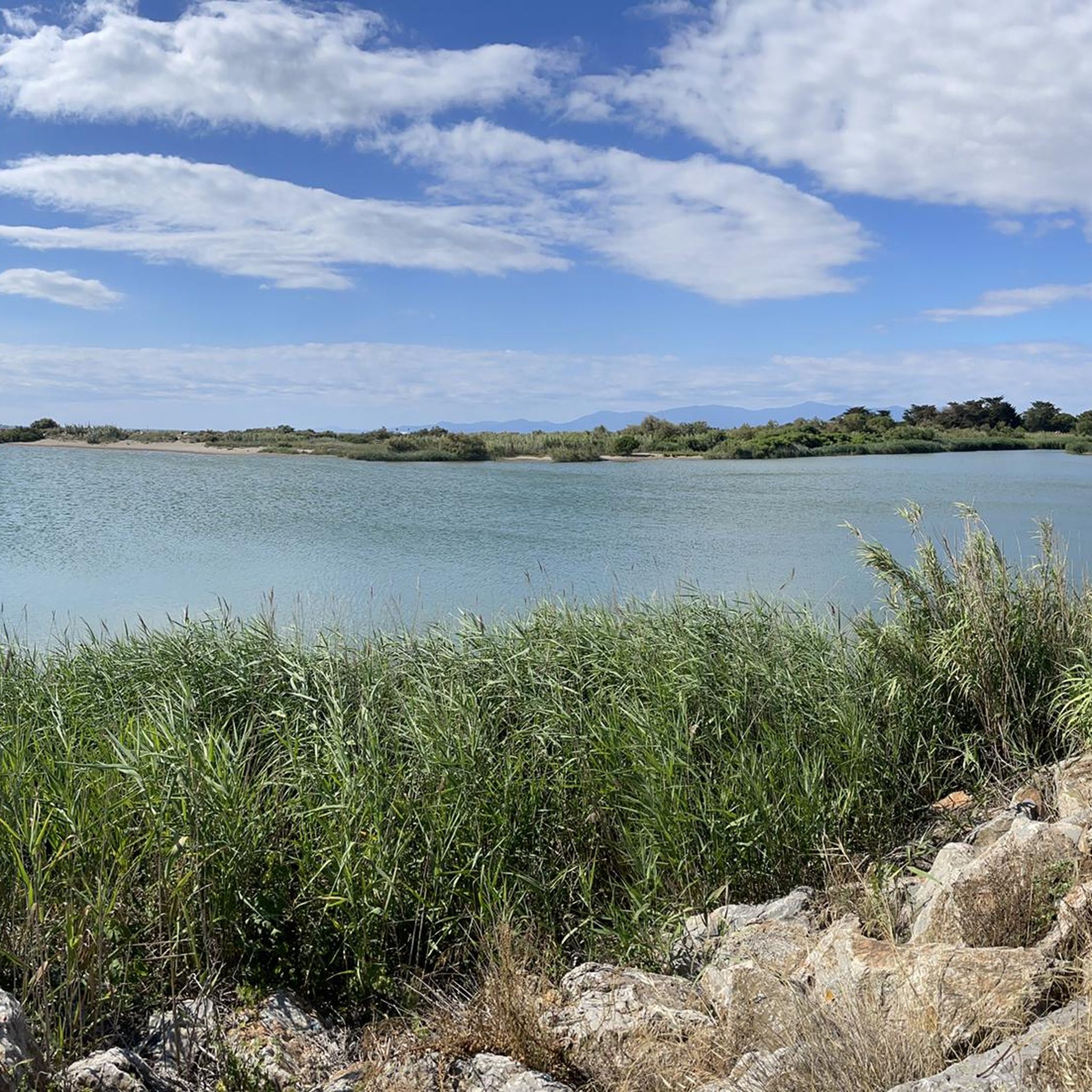
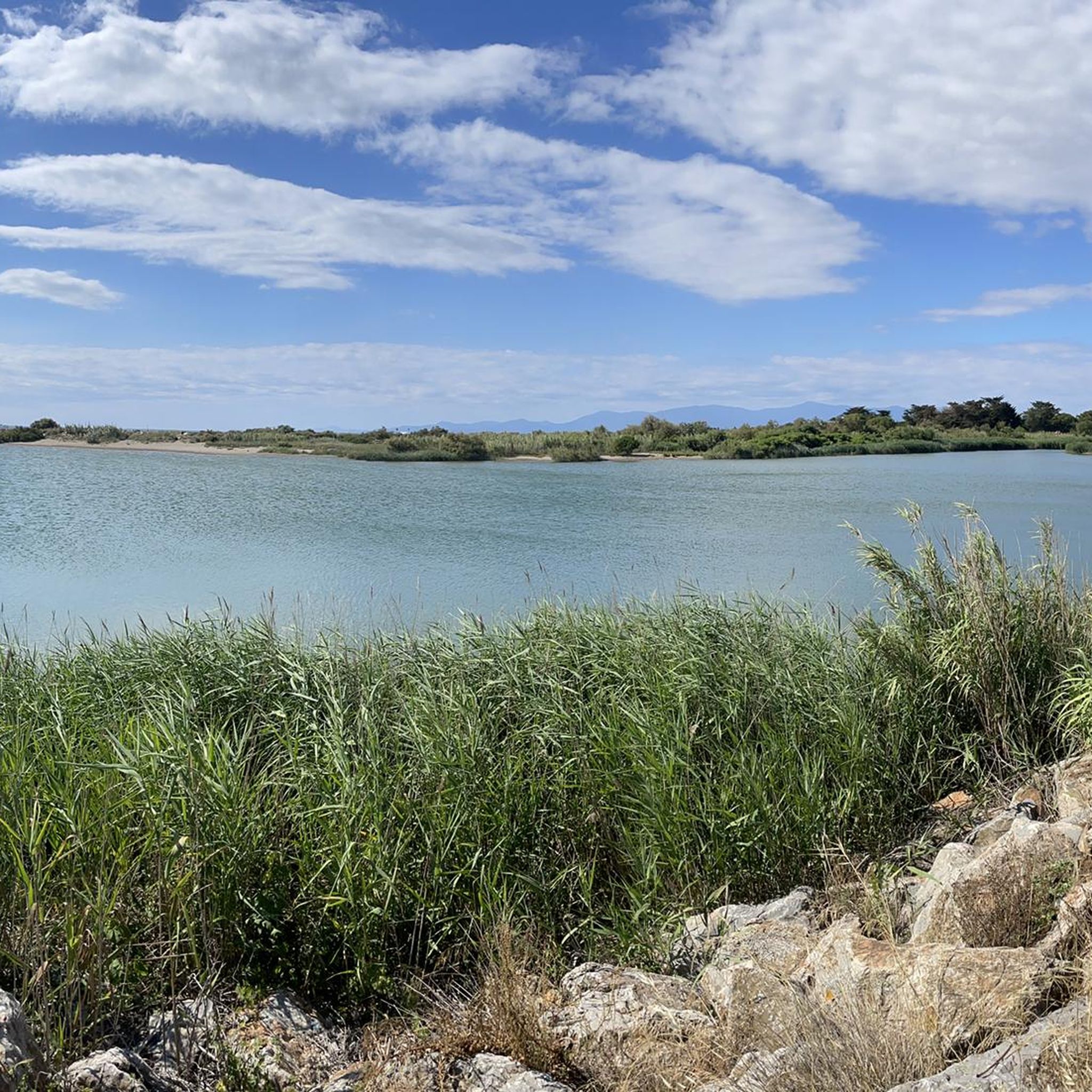
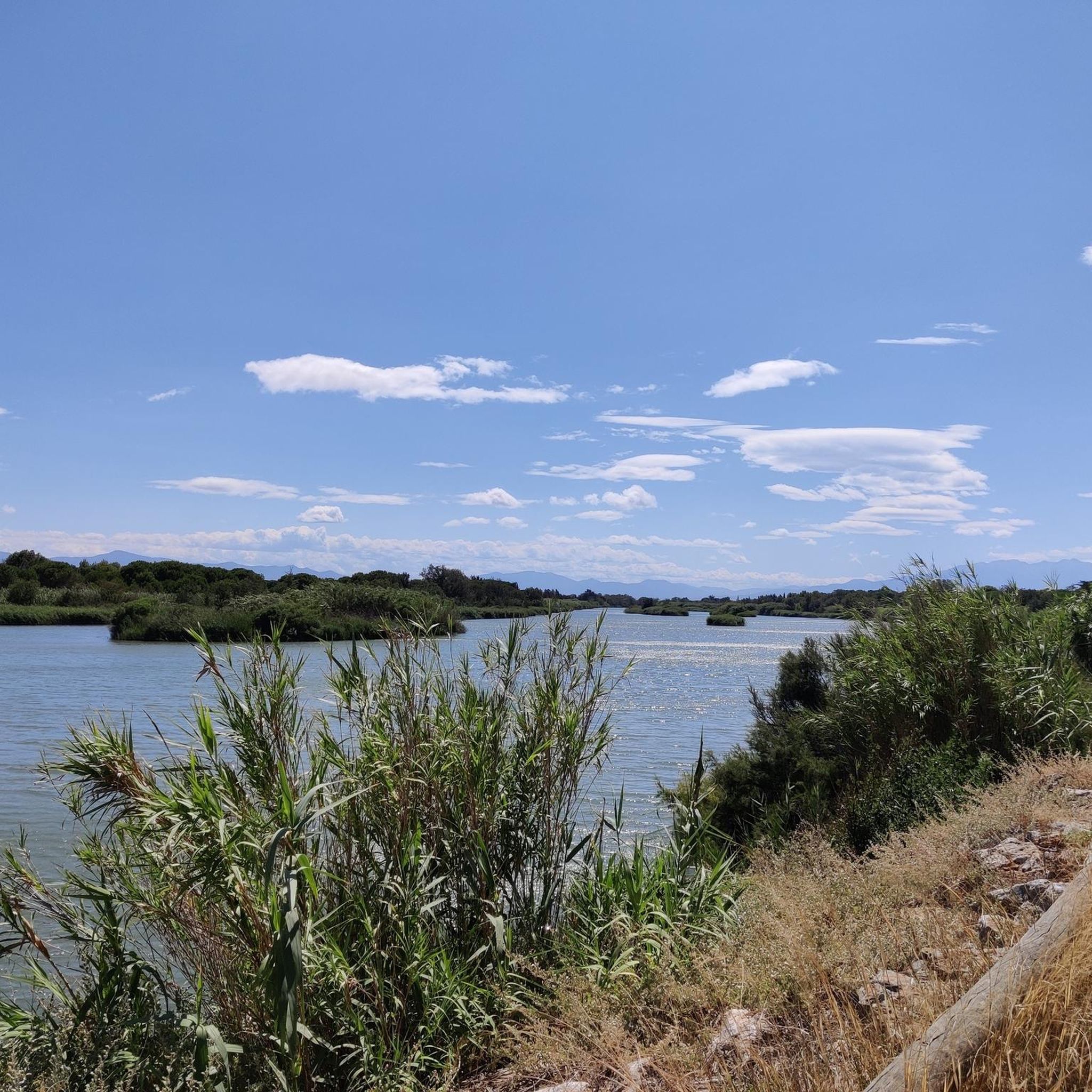
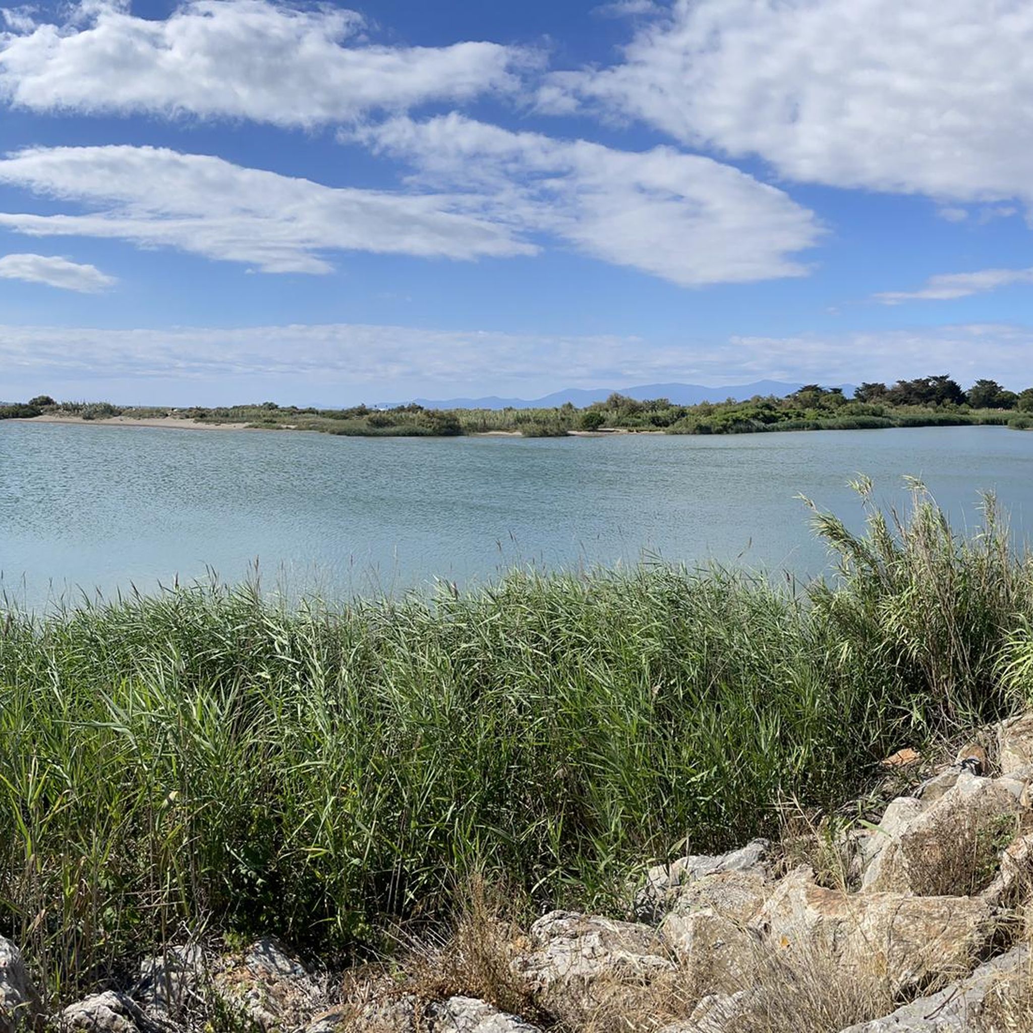
A wonderful route on good bike paths along the lake. Great views of the mountains in the background.
1
0

Barcarès beach is one of the most beautiful in the Occitanie region. A beautiful bike ride is possible along the banks.
0
0
Quiet, well-maintained and very smooth cycle path!
2
0

Frequently Asked Questions
How many hiking trails are available in Le Barcarès?
Le Barcarès offers a wide selection of hiking opportunities, with over 45 routes recorded on komoot. These trails cater to various preferences, from leisurely coastal strolls to more extensive explorations of the natural landscape.
What kind of landscapes can I expect to see while hiking in Le Barcarès?
Hiking in Le Barcarès provides a diverse range of landscapes. You'll encounter coastal paths with Mediterranean views, trails along the tranquil Etang de Salses-Leucate lagoon, and paths through pine forests. Many routes also offer panoramic views of the distant Corbières mountain range and the majestic Canigou massif in the Pyrenees.
Are there many easy hiking options in Le Barcarès?
Yes, Le Barcarès is particularly well-suited for easy hikes. Out of the 45 available routes, 32 are classified as easy, making them accessible for families and those looking for a relaxed outdoor experience with minimal elevation gain.
Are there any circular hiking routes in Le Barcarès?
Many of the trails in Le Barcarès are designed as circular routes, allowing you to start and end at the same point. Examples include the Parc des Dosses trail – Wild slabs loop from Port-Leucate, which explores a protected natural site, and the Saint-Ange Marina – Plage de Barcarès loop from Le Barcarès, offering coastal views.
Can I hike with my family in Le Barcarès?
Absolutely! Le Barcarès is an excellent destination for family-friendly hikes. The abundance of easy trails, often with minimal elevation, makes them suitable for all ages. The natural sites like Parc des Dosses also feature educational trails, enhancing the experience for younger explorers. For more family activity ideas, you can visit the Le Barcarès Tourism website.
Are the hiking trails in Le Barcarès suitable for dogs?
While specific regulations can vary, many natural areas and coastal paths in Le Barcarès are generally dog-friendly, especially if your dog is kept on a leash. It's always a good idea to check local signage for any restrictions, particularly in protected natural sites like Parc des Dosses, to ensure a pleasant experience for everyone.
What are some notable natural sites or landmarks to explore while hiking?
A must-visit is the Parc des Dosses, a protected natural site between the Mediterranean and the Salses-Leucate lagoon, known for its rich biodiversity and bird-watching opportunities. You can also incorporate walks along the beach to see the iconic grounded ship, Le Lydia, or explore the authentic charm of the Fishing Port and Fishermen's Village.
What do other hikers say about the trails in Le Barcarès?
The hiking routes in Le Barcarès are highly regarded by the komoot community, boasting an average rating of 4.5 stars from over 300 reviews. Hikers often praise the well-maintained paths, the stunning coastal and lagoon views, and the accessibility of the trails for various fitness levels.
What is the best time of year to go hiking in Le Barcarès?
Le Barcarès enjoys a Mediterranean climate, making hiking enjoyable for much of the year. Spring and autumn offer pleasant temperatures, ideal for longer walks. Even winter can be suitable for hiking, with milder weather than many other regions. Summer can be warm, so early mornings or late afternoons are recommended for coastal or shaded pine forest trails.
How long do hikes typically take in Le Barcarès?
The duration of hikes in Le Barcarès varies, but many popular easy routes can be completed within 1.5 to 2 hours. For example, the Sidya Beach – Mouth of the Agly River loop from Le Barcarès is typically completed in about 1 hour 47 minutes, covering around 7.1 km.
Are there parking facilities available near the hiking trails?
Yes, parking is generally available in Le Barcarès, particularly near popular starting points for trails, beaches, and attractions. Many residential areas and public spaces offer parking options, though it's always advisable to check for specific parking signs or designated areas when planning your route.
Are there any interesting landmarks or attractions nearby that I can visit after a hike?
Beyond the trails, you can explore the historic Salses Fortress, a significant military structure. For a taste of local culture, visit the Grau de Leucate Oyster Village, or head to the Cap Leucate Lighthouse for more panoramic views.
Most popular routes around Le Barcarès
Most popular attractions around Le Barcarès

Get inspired with the komoot mobile app


Explore more
Browse the best Hikes in other regions.
