The best road cycling routes around Groissiat
4.4
(136)
3,269
riders
179
rides
Road cycling routes around Groissiat traverse a varied terrain within the Ain department of eastern France, offering diverse landscapes for cyclists. The region features elevations ranging from approximately 507 to 940 meters, encompassing both gentle sections and challenging climbs. Natural features include glacial lakes, river valleys, and a mix of hills and more mountainous areas. This topography provides a range of road cycling experiences.
Best road cycling routes around Groissiat
- The most popular road cycling route is Lac de Coiselet…
Last updated: July 4, 2026
5.0
(2)
60
riders
56.5km
02:36
560m
560m
Moderate road ride. Good fitness required. Mostly well-paved surfaces and easy to ride.
5.0
(1)
29
riders
39.8km
02:03
640m
640m
Moderate road ride. Good fitness required. Mostly well-paved surfaces and easy to ride.

Sign up for free
29
riders
75.2km
03:41
1,030m
1,030m
Hard road ride. Very good fitness required. Mostly well-paved surfaces and easy to ride.
4.0
(2)
53
riders
43.2km
01:59
480m
480m
Moderate road ride. Good fitness required. Mostly well-paved surfaces and easy to ride.
22
riders
40.3km
02:02
620m
620m
Moderate road ride. Good fitness required. Mostly well-paved surfaces and easy to ride.
Get access to more routes and recommendations from other explorers.
Sign up for free
Already have an account?
Our route recommendations are based on thousands of hikes, rides, and runs completed by other people on komoot.
Start today with a free account
Your next adventure awaits.
Login or Signup

Tips from the Community

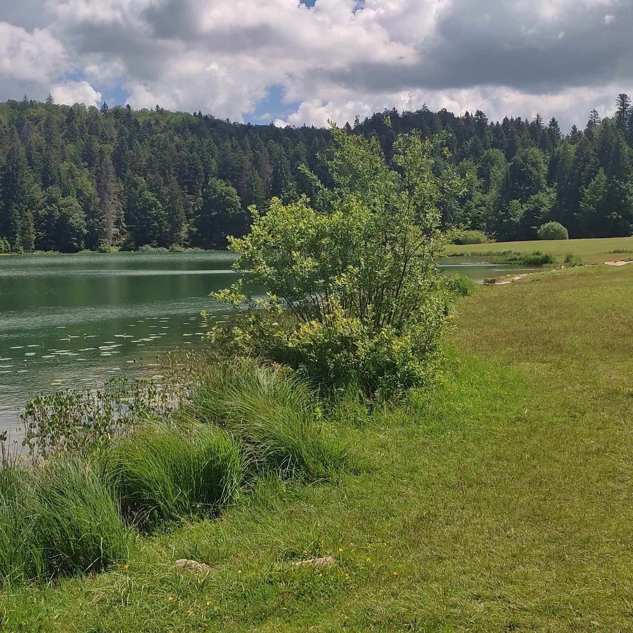
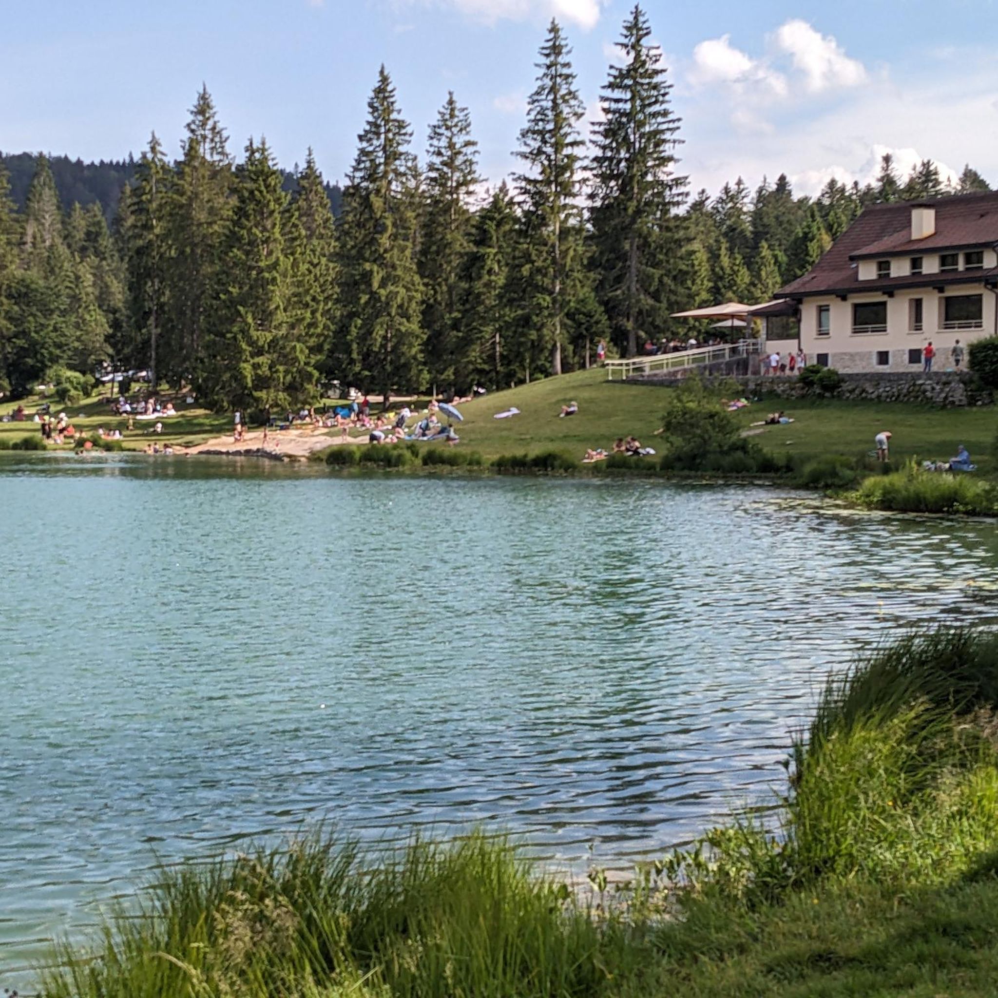
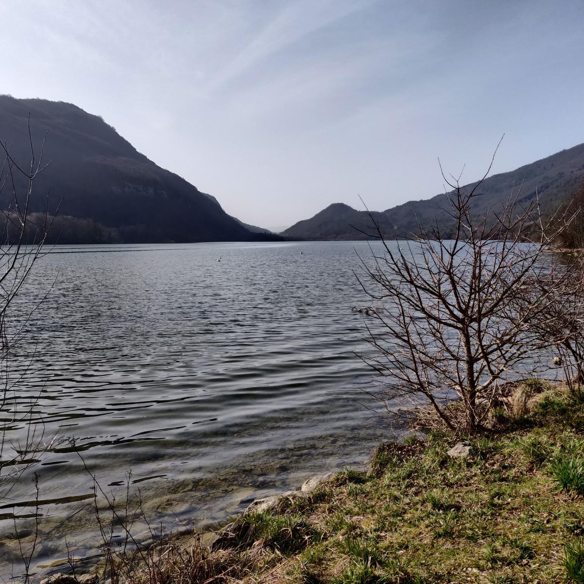
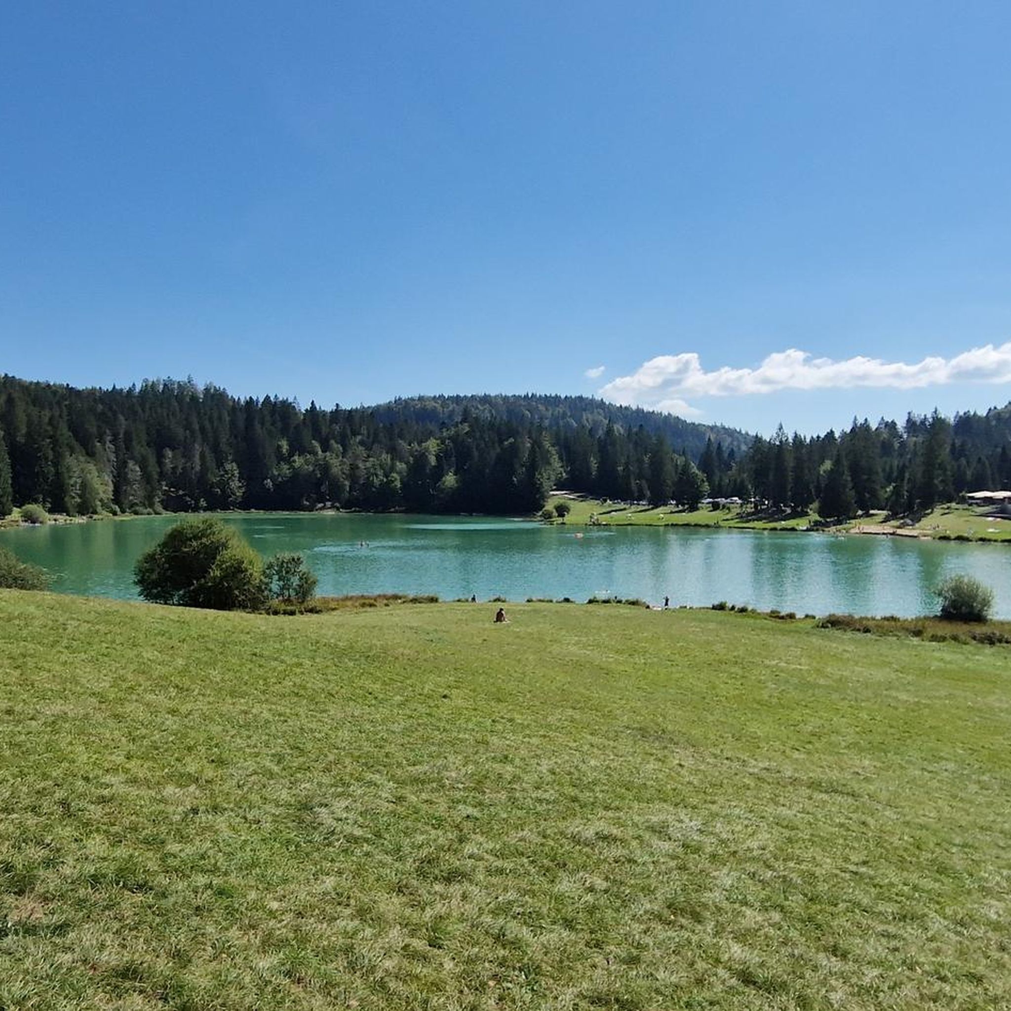
The Lac de Nantua is a superb body of water of 141 hectares. In the heart of the Jura, it offers an ideal setting for practicing a multitude of sports. It is even possible to swim in its waters.
1
0

pretty small stone viaduct with 2 superimposed lanes, one for cars with 6 arches and one for the train with 11 arches. Atypical.
0
0
pretty little stone viaduct with 2 superimposed lanes, one for cars with 6 arches and one for the train with 11 arches. Atypical.
0
0

A must-see in Ain! It’s a chance to experience some elevation gain!
0
0
Pretty little viaduct which is a real must-see!
0
0

A must-see on the banks of the Ain
0
0

Beautiful, simple, easy walk; lots of traffic noise on the "road" section, a bit of a shame, but the color of the water is magical
1
0

Beautiful view of the Ain Valley and this viaduct is magnificent. The lower part is suitable for cycling.
0
0
Frequently Asked Questions
What kind of terrain can I expect when road cycling around Groissiat?
The Groissiat region offers a varied terrain for road cyclists. You'll encounter elevations ranging from approximately 507 to 940 meters, featuring both gentle sections and challenging climbs. The landscape includes glacial lakes, river valleys, and a mix of hills and more mountainous areas, providing diverse road cycling experiences.
Are there road cycling routes suitable for beginners or those looking for an easier ride?
Yes, Groissiat offers options for various ability levels. While many routes involve significant elevation, there are 10 routes classified as easy. For example, you can find routes with up to 1,000 ft of elevation gain, suitable for any fitness level, allowing for a more relaxed cycling experience.
What natural attractions can I see along the road cycling routes in Groissiat?
The region around Groissiat is rich in natural beauty. Many routes offer scenic views of picturesque lakes such as Lake Nantua, Lake Genin, and Along Lake Coiselet. You might also encounter river valleys and the unspoilt nature of the Haut Jura Natural Park. The local Cascade de Groissiat is also a notable natural attraction nearby.
Are there any challenging road cycling routes for experienced riders?
Absolutely. Groissiat is home to 99 difficult road cycling routes, perfect for experienced riders seeking a challenge. These routes often feature significant elevation gains, with some exceeding 3,000 ft, requiring very good fitness. An example of a challenging route is the View of the Viaduc de Poncin – View of the Cascade de la Cula loop from Bellignat, which covers nearly 70 km with over 930 meters of ascent.
What do other road cyclists say about the routes in Groissiat?
The road cycling routes around Groissiat are highly regarded by the komoot community, holding an impressive average rating of 4.5 stars from over 120 reviews. More than 3300 road cyclists have explored the area using komoot, often praising the diverse terrain, scenic lake views, and the quiet, natural environment.
Are there any circular road cycling routes around Groissiat?
Yes, many of the road cycling routes in the Groissiat area are designed as loops, allowing you to start and finish in the same location. For instance, the Montréal – Matafelon-Granges loop from Bellignat offers a pleasant ride through the countryside, and the Montée de la Saugette – Côte de Viry loop from Bellignat provides another circular option.
What is the best season for road cycling in Groissiat?
The region's varied terrain and natural beauty are best enjoyed during spring, summer, and early autumn. These seasons typically offer more favorable weather conditions, allowing you to fully appreciate the scenic views of the lakes and the Jura Mountains without the challenges of winter weather.
Can I find routes that feature the glacial lakes of the region?
Absolutely. The Groissiat area is known for its glacial lakes, and several road cycling routes incorporate them into their scenic paths. The Lac de Nantua – Lake Nantua loop from Bellignat is a prime example, circling the beautiful Lac de Nantua, famous for its changing water colors and picturesque surroundings.
Are there any routes that follow river valleys?
Yes, you can find road cycling routes that trace the course of local rivers, offering different perspectives of the landscape. The Lac de Coiselet – Thoirette on the Ain River loop from Bellignat is a notable route that follows the Ain River, providing scenic views of the valley.
What are the typical distances and durations for road cycling routes in Groissiat?
Routes in Groissiat vary significantly in distance and duration. You can find shorter rides, like the Montréal – Matafelon-Granges loop from Bellignat at around 40 km, taking about 2 hours. Longer, more challenging routes, such as the View of the Viaduc de Poncin – View of the Cascade de la Cula loop from Bellignat, can extend to nearly 70 km and take over 3 hours to complete, depending on your pace and fitness.
Most popular attractions around Groissiat

Get inspired with the komoot mobile app


Explore more
Browse the best Road cycling routes in other regions.
