The best walks and hikes around Groissiat
4.4
(635)
4,358
hikers
146
hikes
Hiking around Groissiat offers access to the natural beauty of the Ain department, characterized by accessible trails and tranquil environments. The area features the picturesque Cascade de Groissiat, a notable natural landmark. Trails in this region often present gentle elevation changes, making them suitable for various levels of hikers. Groissiat's location within the Haut-Bugey region provides a diverse landscape for outdoor exploration.
Best hiking trails around Groissiat
- The most popular hiking route is Tour of lac Genin, a 7.6…
Last updated: June 27, 2026
4.4
(8)
23
hikers
7.70km
02:15
210m
210m
Moderate hike. Good fitness required. Easily-accessible paths. Suitable for all skill levels.
3.5
(2)
10
hikers
10.0km
02:44
150m
150m
Moderate hike. Good fitness required. Easily-accessible paths. Suitable for all skill levels.

Sign up for free
9
hikers
6.12km
01:46
150m
150m
Easy hike. Great for any fitness level. Easily-accessible paths. Suitable for all skill levels.
1.0
(1)
9
hikers
5.25km
01:25
70m
70m
Easy hike. Great for any fitness level. Easily-accessible paths. Suitable for all skill levels.
9
hikers
10.9km
03:10
270m
270m
Moderate hike. Good fitness required. Easily-accessible paths. Suitable for all skill levels.
Get access to more routes and recommendations from other explorers.
Sign up for free
Already have an account?
Our route recommendations are based on thousands of hikes, rides, and runs completed by other people on komoot.
Start today with a free account
Your next adventure awaits.
Login or Signup
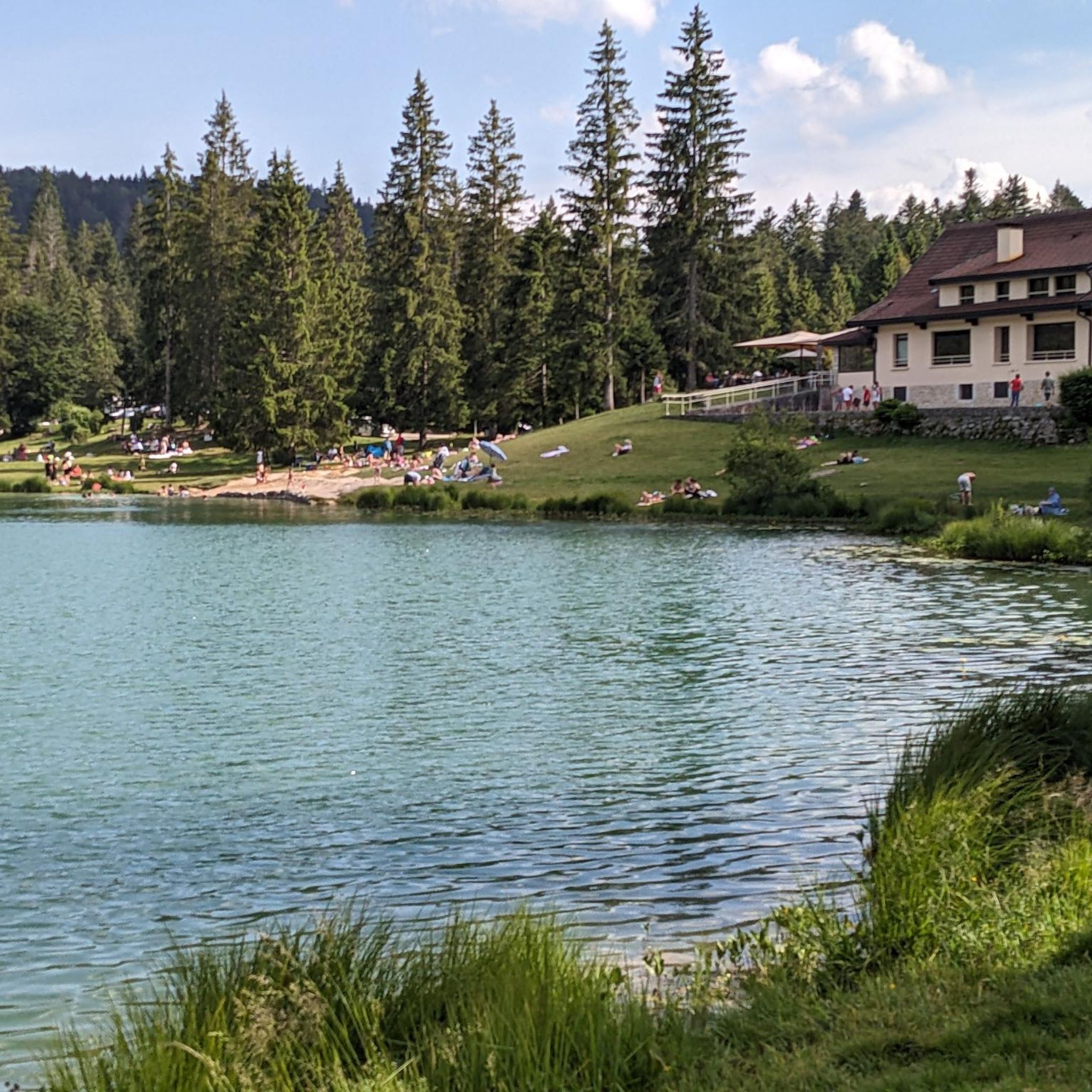
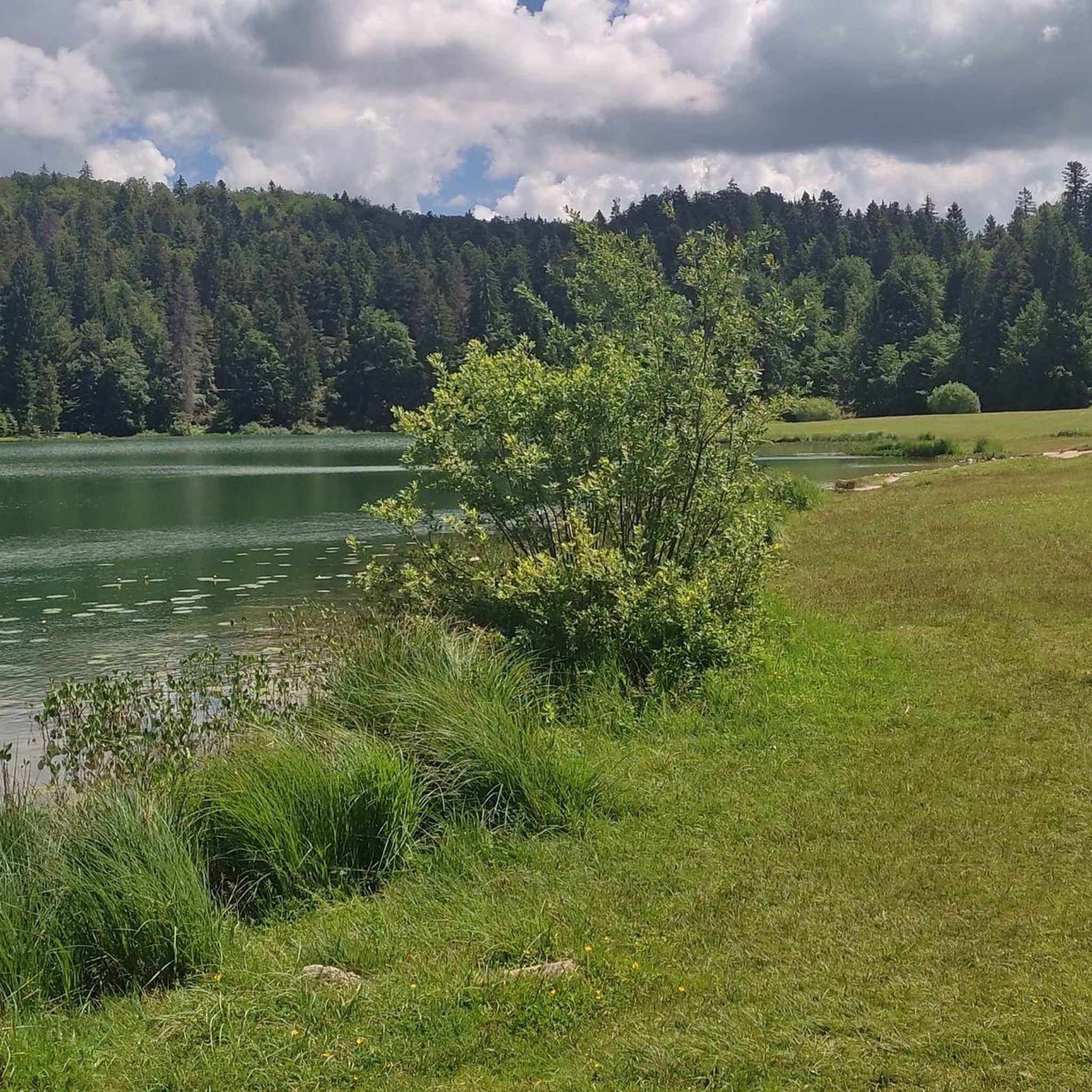
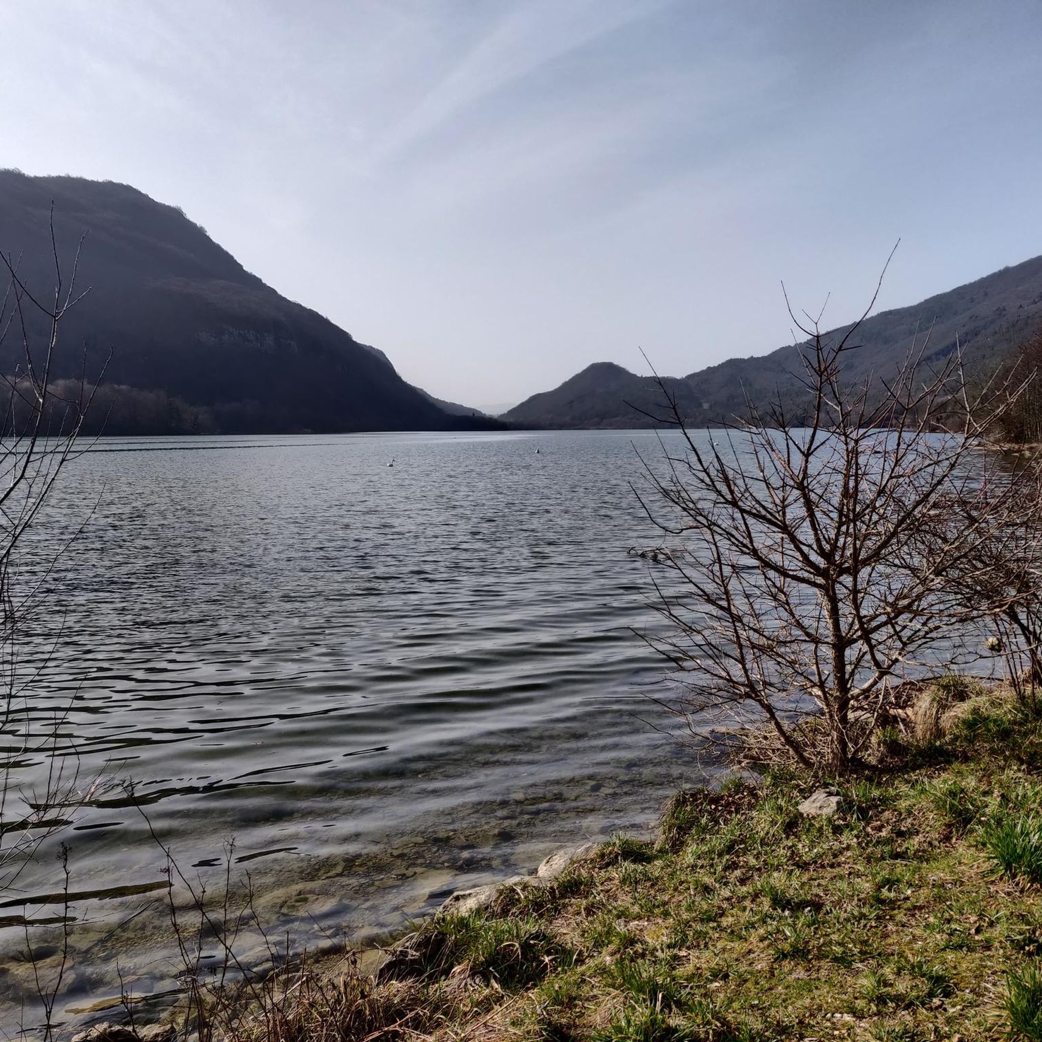
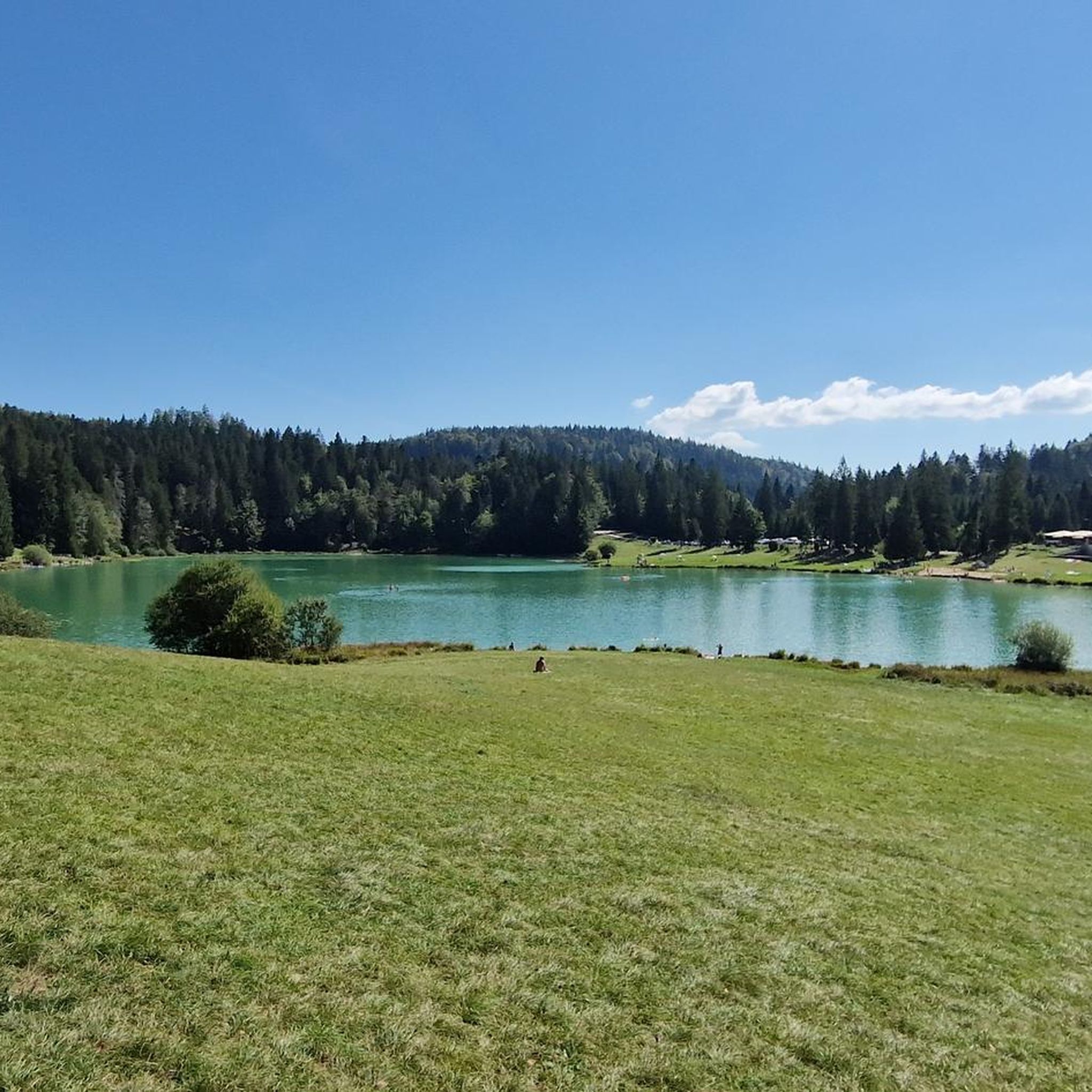

Tips from the Community

Good alternative to the road. It's steeper, more rocky and forested, and there are several small streams along it, so it's much nicer to connect Géovreisset and the Forge district on foot.
0
0
Very bucolic. There is a small waterfall at the top of the clearing. Too bad the highway passes right next to it...
0
0
Superb view, just a bit spoiled by the highway and factories. The path to come from Geovreisset is enchanting (it's a small trace on the ridge, in the undergrowth)
0
0
Narrow and very steep track of a few hundred meters. It seems possible to me on mountain bike too.
0
0
Frequently Asked Questions
How many hiking trails are available in Groissiat?
Groissiat offers a wide range of hiking opportunities, with over 140 trails recorded on komoot. These routes cater to various skill levels, including 50 easy, 84 moderate, and 13 difficult options.
What natural features or landmarks can I explore while hiking in Groissiat?
The region around Groissiat is rich in natural beauty. A prominent feature is the Cascade de Groissiat, a picturesque waterfall easily accessible from the town. You can also discover stunning lakes like Lake Nantua and Lake Genin, as well as other natural monuments such as the Grotte de Corveissiat and the Cascade de la Pisse Vache.
Are there any waterfalls to see on the hiking trails around Groissiat?
Yes, the area is known for its waterfalls. The most notable is the Cascade de Groissiat, which is easily accessible. Another beautiful waterfall you might encounter is the Cascade de la Pisse Vache. Some routes, like the Charmines-Moux Reservoir – Waterfalls and Potholes loop from Matafelon-Granges, specifically lead through areas with waterfalls and natural potholes.
What is the best time to visit Groissiat for hiking?
Groissiat is generally accessible for hiking year-round, with the Cascade de Groissiat being open all year. Spring and autumn offer pleasant temperatures and vibrant scenery, while summer is ideal for enjoying the lakes. Winter hiking is also possible, but conditions may vary, especially at higher elevations in the Haut-Bugey region.
Are there easy hiking trails suitable for beginners or families with children in Groissiat?
Absolutely. Groissiat offers 50 easy trails, many of which are suitable for beginners and families. The paths around the Cascade de Groissiat are generally gentle. The region's landscape often features mild elevation changes, making it ideal for leisurely walks. For example, a 5.5 km trail in the area has an easy difficulty with gentle uphill and downhill gradients.
Are dogs allowed on the hiking trails in Groissiat?
Yes, the area around Groissiat is generally dog-friendly. The path to the Cascade de Groissiat is an ideal spot for an outing with canine companions. It's always recommended to keep dogs on a leash, especially in nature reserves or near livestock, and to clean up after them.
Are there any circular walks around Groissiat?
Yes, many of the trails in the Groissiat area are designed as circular routes. For instance, the Tour of Lac Genin is a popular circular route. Another option is the Charmines-Moux Reservoir loop from Izernore, which also offers a circular experience.
What do other hikers enjoy the most about hiking in Groissiat?
The hiking experience in Groissiat is highly rated by the komoot community, with an average score of 4.4 stars from over 550 reviews. Hikers often praise the accessible trails, the tranquil natural environment, and the picturesque Cascade de Groissiat. The diverse landscape of the Haut-Bugey region also contributes to its appeal.
Are there any lakes I can hike around near Groissiat?
Yes, the region boasts several beautiful lakes perfect for hiking. The Lake Genin is a popular destination, with routes like the Tour of Lac Genin offering scenic walks around its shores. You can also find trails with views over Lake Nantua, such as the Panoramic view of the lake – View over Lake Nantua loop from Montréal-la-Cluse.
What kind of terrain and elevation changes can I expect on Groissiat's hiking trails?
The trails around Groissiat generally feature gentle elevation changes, making them suitable for various levels. For example, a typical 5.5 km trail might have an uphill gradient of around 211m and a downhill gradient of 207m. While many routes are leisurely, the broader Haut-Bugey region offers diverse landscapes, including panoramic views from Mont Balvay and the Monts d'Ain, suggesting some more varied terrain further afield.
Is there parking available for hikers in Groissiat?
Yes, parking is generally available. For instance, the path to the Cascade de Groissiat starts behind the Groissiat town hall, implying accessible parking in the village. Specific parking information for individual trailheads can often be found in the route descriptions on komoot.
Are there any long-distance paths or connections to other regions from Groissiat?
While Groissiat itself offers local trails, its location within the Haut-Bugey region provides access to broader networks. The "Lange gentle path," connecting Oyonnax to Nantua, is mentioned as being ideal for walking and cycling, suggesting connections to other towns and natural areas. This path offers a relatively flat route for extended activities.
Most popular routes around Groissiat
Most popular attractions around Groissiat

Get inspired with the komoot mobile app


Explore more
Browse the best Hikes in other regions.
