Attractions and Places To See around Romeyer - Top 20
Best attractions and places to see around Romeyer, a commune in the Drôme department of southeastern France, offers a blend of historical elements and natural landscapes. The area features remnants of a castle and traditional houses, providing insight into the region's past. Situated within the Vercors Regional Natural Park, Romeyer is surrounded by varied terrain, with elevations ranging from 478 to 2,000 meters. This setting provides access to significant natural sites and scenic views.
Best attractions and places to see…
Last updated: October 9, 2026
Quiet route in the upper Vernaison Valley
Highlight (Segment) • Viewpoint
Showing Translation
Tip by

Grand Veymont
Highlight • Summit
Translated by Google •
Tip by

Sign up now to discover places like this
Get recommendations on the best single tracks, peaks, & plenty of other exciting outdoor places.
Col de Rousset Pass and Tunnel
Highlight • Mountain Pass
Translated by Google •
Tip by

Die
Highlight • Historical Site
Translated by Google •
Tip by

Col de l'Allimas
Highlight • Mountain Pass
Translated by Google •
Tip by

Sign up for free to discover even more attractions around Romeyer.
Already have an account?
Start today with a free account
Your next adventure awaits.
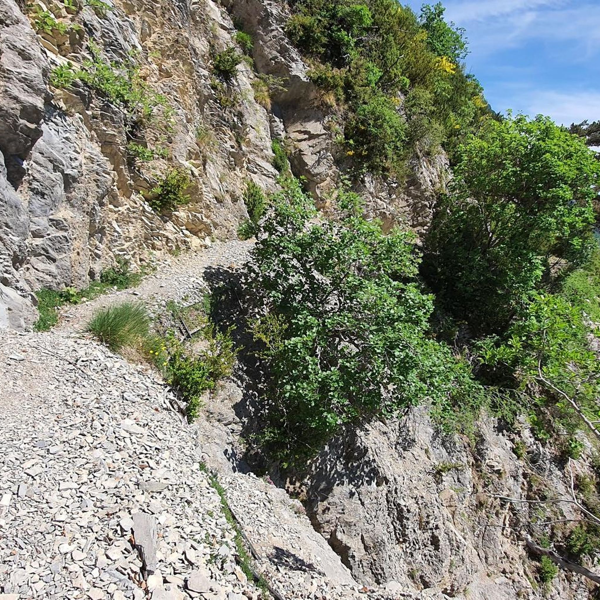
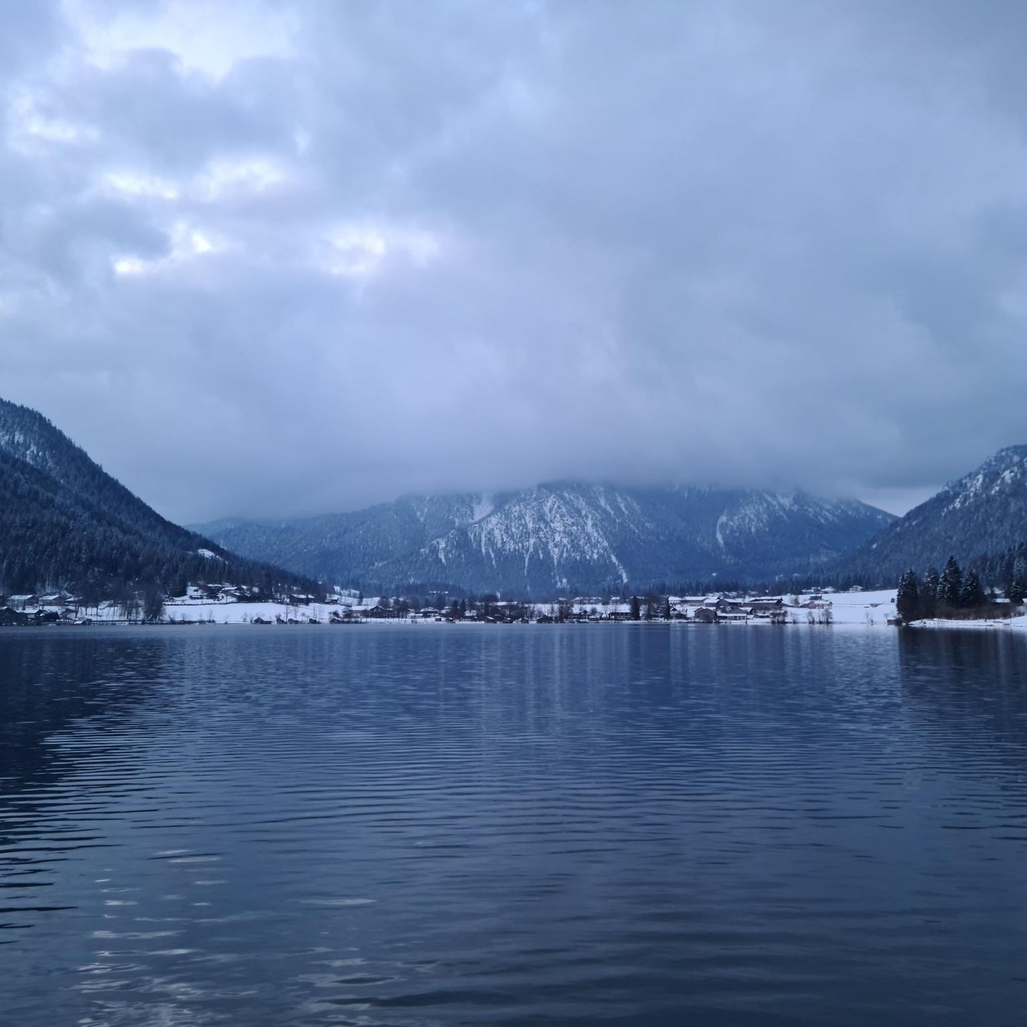
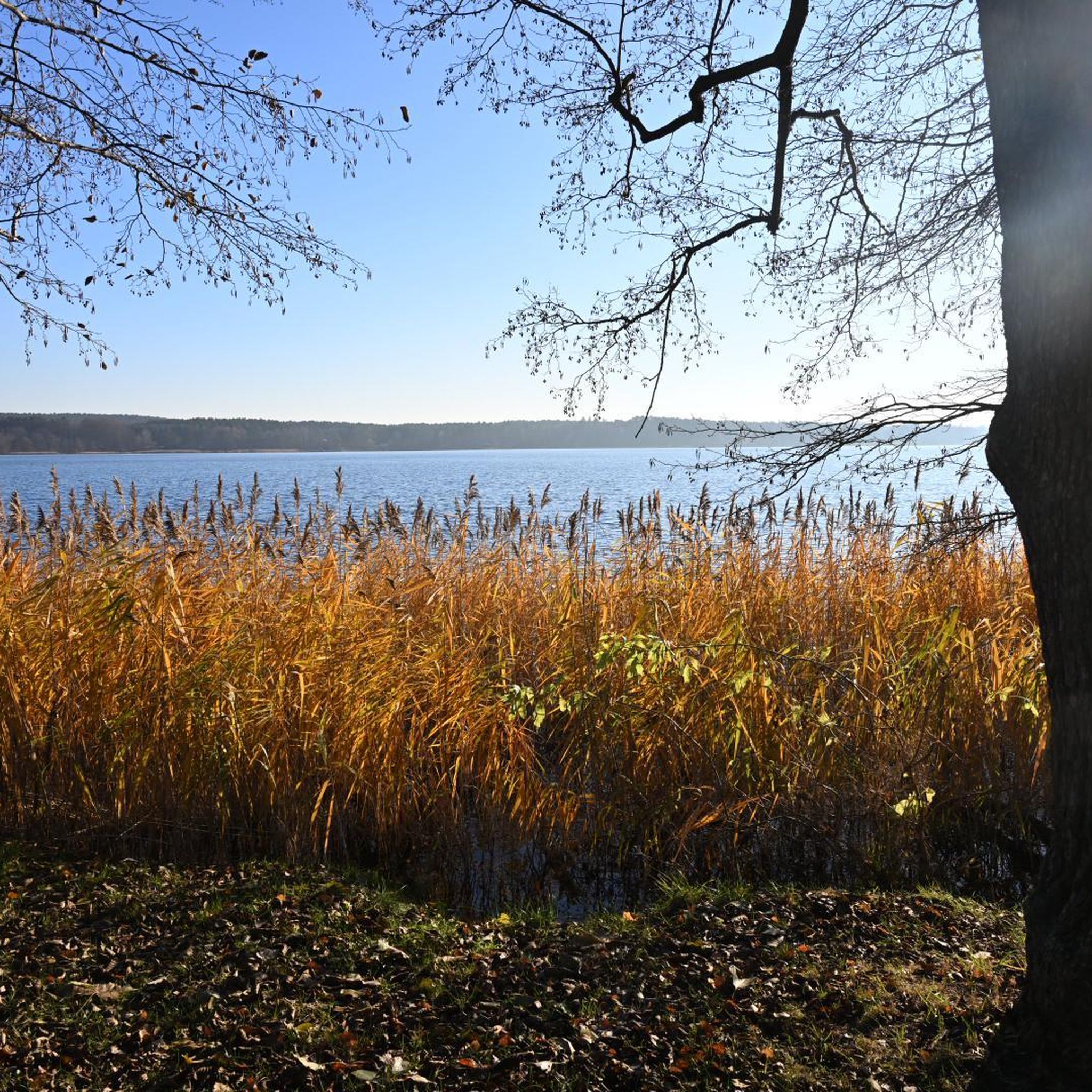
Tips from the Community

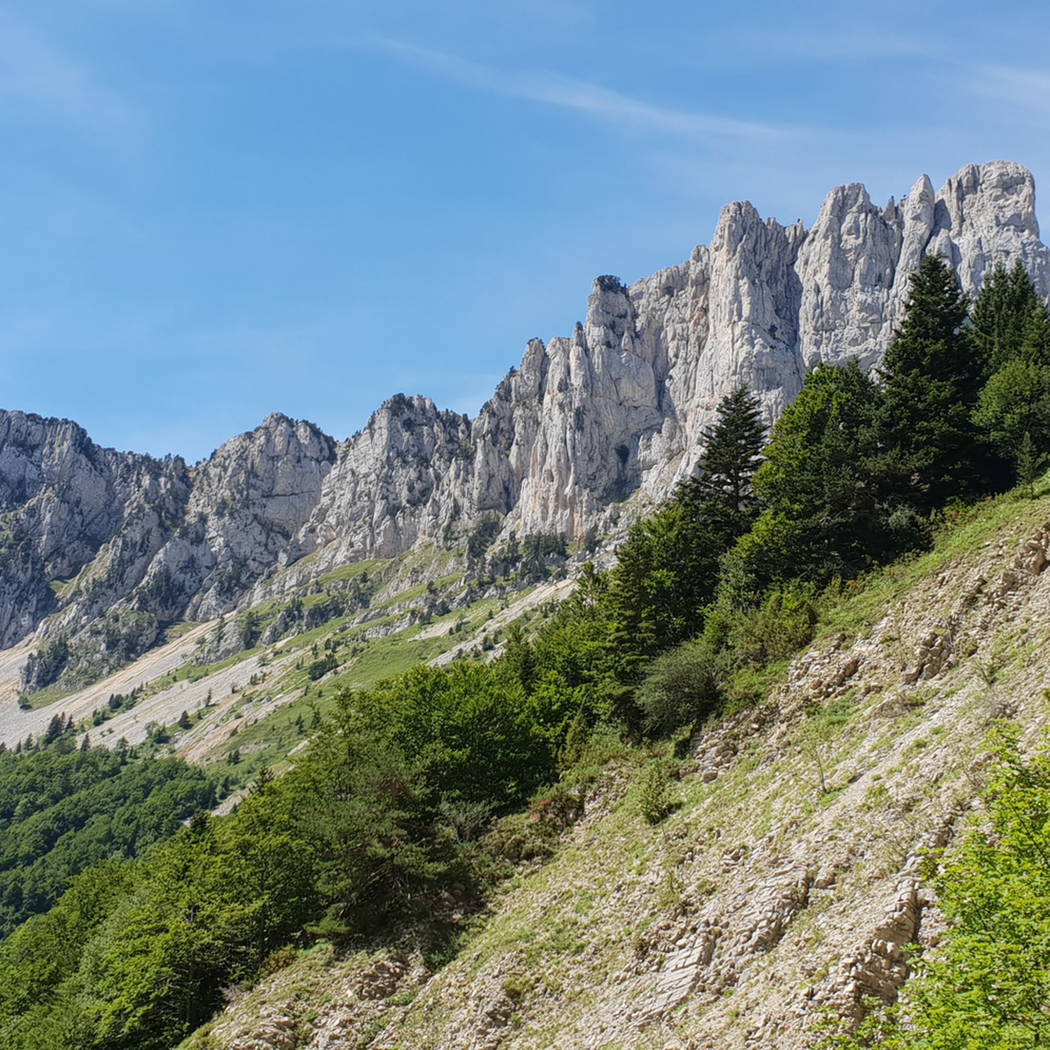
One of the symbolic climbs of the Vercors. The road climbs through forests and rocky walls up to the pass, offering spectacular views of the Drôme valley. A very evocative climb, popular with cyclists, ideal for immersing yourself completely in the wild landscape of the Vercors.
10
0
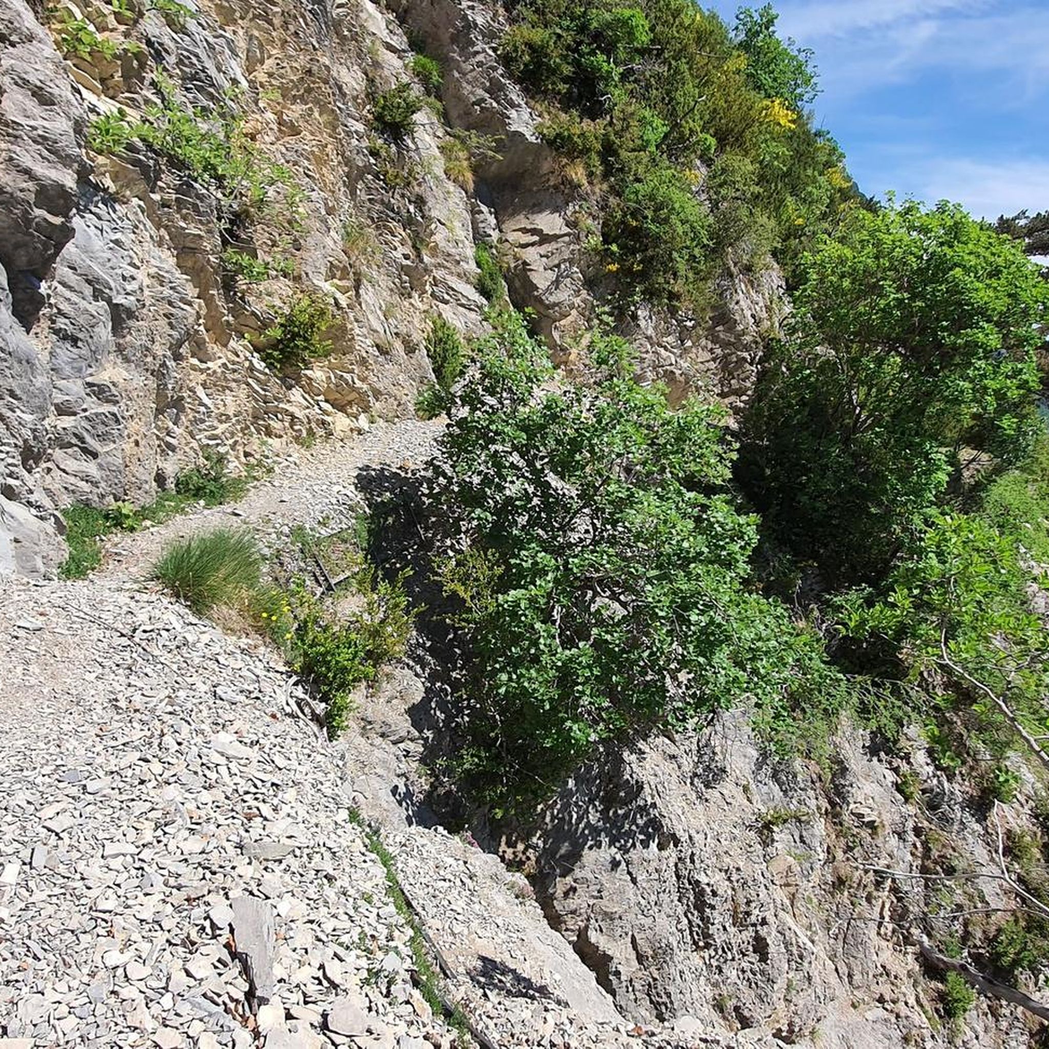
Spectacular road carved into the rock in the heart of the Vercors. Vertical walls, numerous galleries and the Bourne stream accompany the route in a wild and suggestive landscape. One of the most scenic roads in the Vercors, unmissable by bike.
9
0
The climb starts quite gently from Chamaloc and becomes progressively more challenging as you enter the spectacular valley. The most scenic part is the final section, with hairpin bends set into the rock faces and the impressive crossing of the Col du Rousset tunnel.
11
0
For fat bikes only
10
0
🚴 Col du Rousset – Chamaloc side * Start: Chamaloc * Finish: Col du Rousset * Altitude: approx. 1,254 m * Length: approx. 11 km * Elevation gain: approx. 650 m * Average gradient: ~6% * Maximum gradients: around 9–10% * Surface: asphalted and generally in good condition
10
0
Splendid panoramic viewpoint immersed in nature, ideal for a short break during the route
10
0

In the afternoon heat on the south-facing slope, very little shade. The last 3km are steep. Warning, no water at La Bâtie (cemetery gate locked), refill well before!
0
0

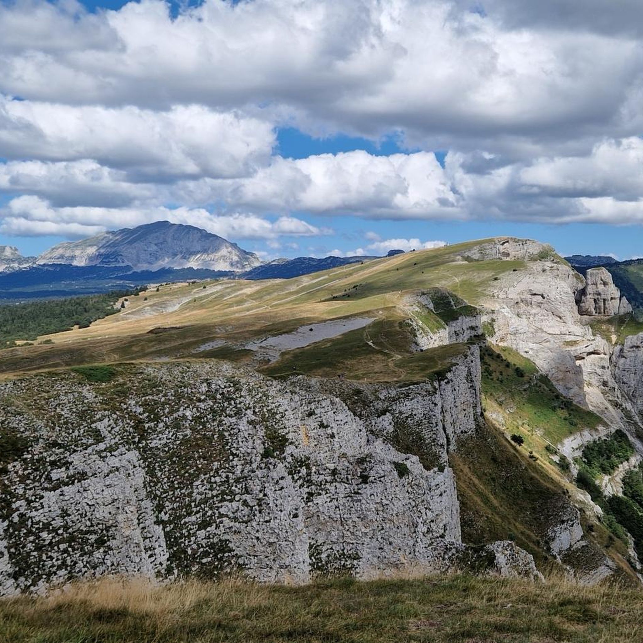
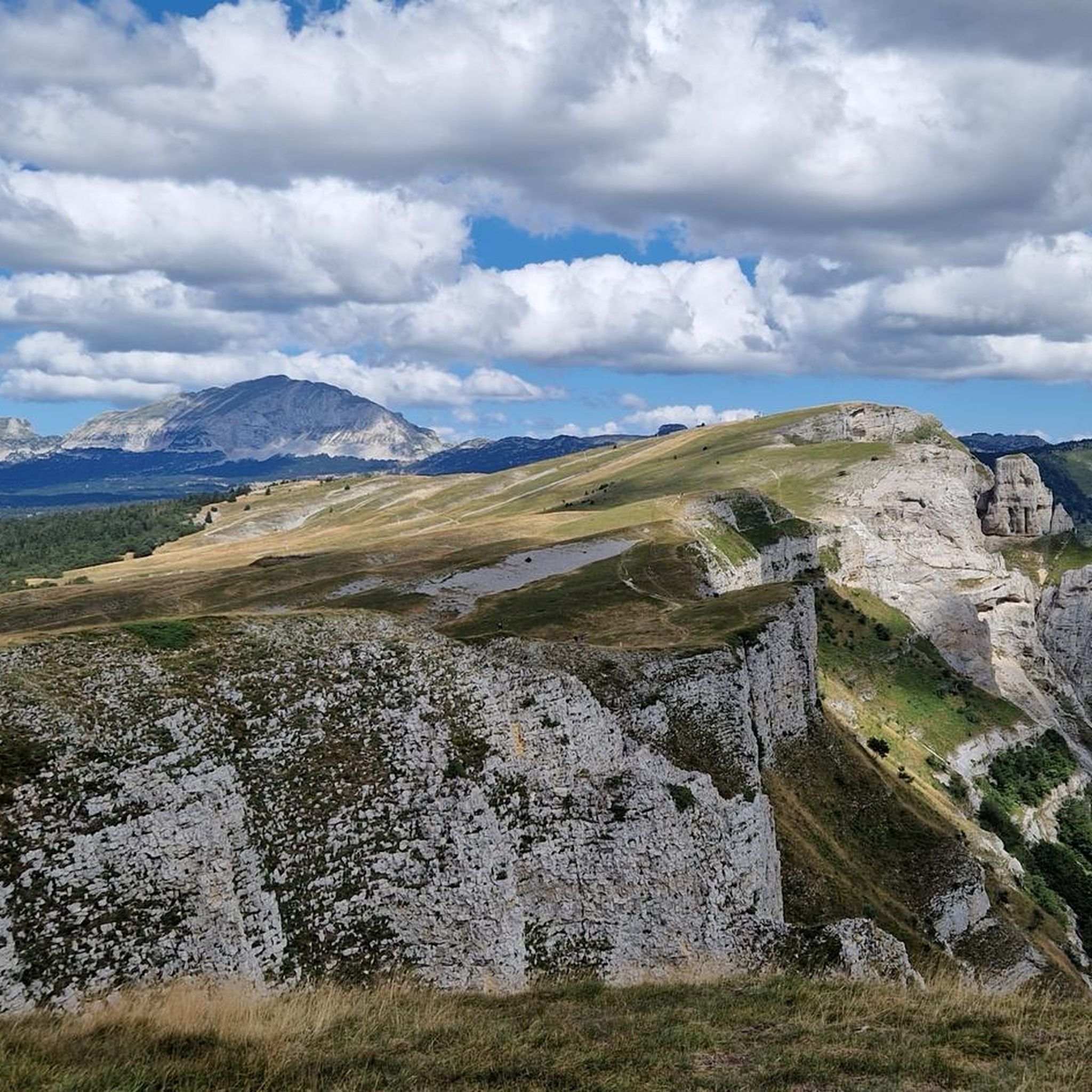
Stunning view and perfectly marked trail. Remember to bring water, there are no springs on the plateau.
0
0
Frequently Asked Questions
Where is Romeyer located?
Romeyer is a charming commune nestled in the Drôme department of southeastern France, within the Auvergne-Rhône-Alpes region. It is situated at an elevation ranging from 478 to 2,000 meters, offering varied terrain and scenic views.
What natural features can I explore around Romeyer?
The region around Romeyer is rich in natural beauty. You can visit the dramatic natural amphitheater of Grand Veymont, which is the highest point of the Vercors massif and offers panoramic views. The distinctive Col de Rousset mountain pass provides stunning views of the valley. Additionally, the broader area offers access to the Parc naturel régional du Vercors, known for its diverse landscapes, and the remarkable geological site of the "plate-forme urgonienne de la montagne de Glandasse."
Are there any historical or cultural sites to visit in Romeyer?
Within Romeyer, you can explore the Vestiges du château, remnants of a castle overlooking an ancient route, and the Église Notre-Dame-de-l'Assomption de Romeyer. The village also features old houses and farms that contribute to its traditional charm. Nearby, the town of Die is a significant historical site known for its preserved architecture and the Old Town of Die.
What hiking opportunities are available near Romeyer?
There are various hiking trails around Romeyer, catering to different difficulty levels. For example, you can find moderate routes like the "Pas de la Roche – Belvédère du Col de Villard loop from Romeyer" (11.4 km) or the "Col de Romeyer loop from Chamaloc" (8.1 km). More challenging hikes include the "Pré Peyret Hut – Pas de Chabrinel loop from Fournaire" (19.3 km). You can find more details and routes on the Hiking around Romeyer guide page.
Are there cycling or mountain biking trails around Romeyer?
Yes, the area offers options for both mountain biking and gravel biking. For mountain biking, you can explore routes like the "The town center – Die loop from Die" (29.4 km, moderate) or the more difficult "Die – Justin's Cross loop from Die" (34.5 km). Gravel biking enthusiasts can find challenging routes such as the "Die – The town center loop from Die" (56.9 km). Detailed routes are available on the MTB Trails around Romeyer and Gravel biking around Romeyer guide pages.
Are there family-friendly attractions or activities near Romeyer?
The town of Die and its Old Town are considered family-friendly historical sites. Exploring the traditional houses and remnants of the castle in Romeyer can also be an interesting activity for families. The natural surroundings offer opportunities for gentle walks and enjoying the scenery.
What is the best time to visit Romeyer for outdoor activities?
The region's varied terrain, from 478 to 2,000 meters, means different seasons offer different experiences. Summer is ideal for hiking and cycling, with pleasant weather for exploring the Vercors Regional Natural Park. Spring and autumn also provide beautiful conditions with fewer crowds and vibrant landscapes. Winter offers opportunities for snow-related activities in higher elevations, though some paths may be inaccessible.
What do visitors enjoy most about the attractions around Romeyer?
Visitors particularly appreciate the stunning panoramic views from summits like Grand Veymont, often encountering wildlife like ibexes and marmots. The scenic drives and cycling routes through mountain passes like Col de Rousset are also highly praised. The historical charm and local products, especially the Clairette sparkling wine in Die, are also popular highlights.
Are there any cafes or places to eat near Romeyer's attractions?
While Romeyer itself is a small village, the nearby town of Die offers a selection of nice cafes and restaurants. The Old Town of Die is particularly noted for its artisan shops and places to eat.
Can I find accommodation in or near Romeyer?
Romeyer is a small community, but accommodation options, including guesthouses or holiday rentals, can be found within the village or in nearby towns. The larger town of Die, a short distance away, offers more choices for lodging.
Is public transport available to reach attractions around Romeyer?
Public transport options in this rural area may be limited. It is generally recommended to have a car for exploring the various attractions and natural sites around Romeyer, especially those within the Vercors Regional Natural Park. Some larger towns like Die might have bus connections, but direct routes to specific hiking trailheads or remote natural features are less common.
Are there any specific permits required for hiking in the Vercors Regional Natural Park near Romeyer?
Generally, permits are not required for hiking on established trails within the Vercors Regional Natural Park. However, it's always advisable to check local regulations, especially for specific protected areas or if planning activities like bivouacking. Respecting local guidelines and private property is essential.
Most popular routes around Romeyer
Most popular attractions around Romeyer

Get inspired with the komoot mobile app


Explore more
Still not found the Highlight you’re looking for? See guides of the top attractions in other regions:
