The best running trails around Villebois-Les-Pins
4.3
(14)
208
runners
19
runs
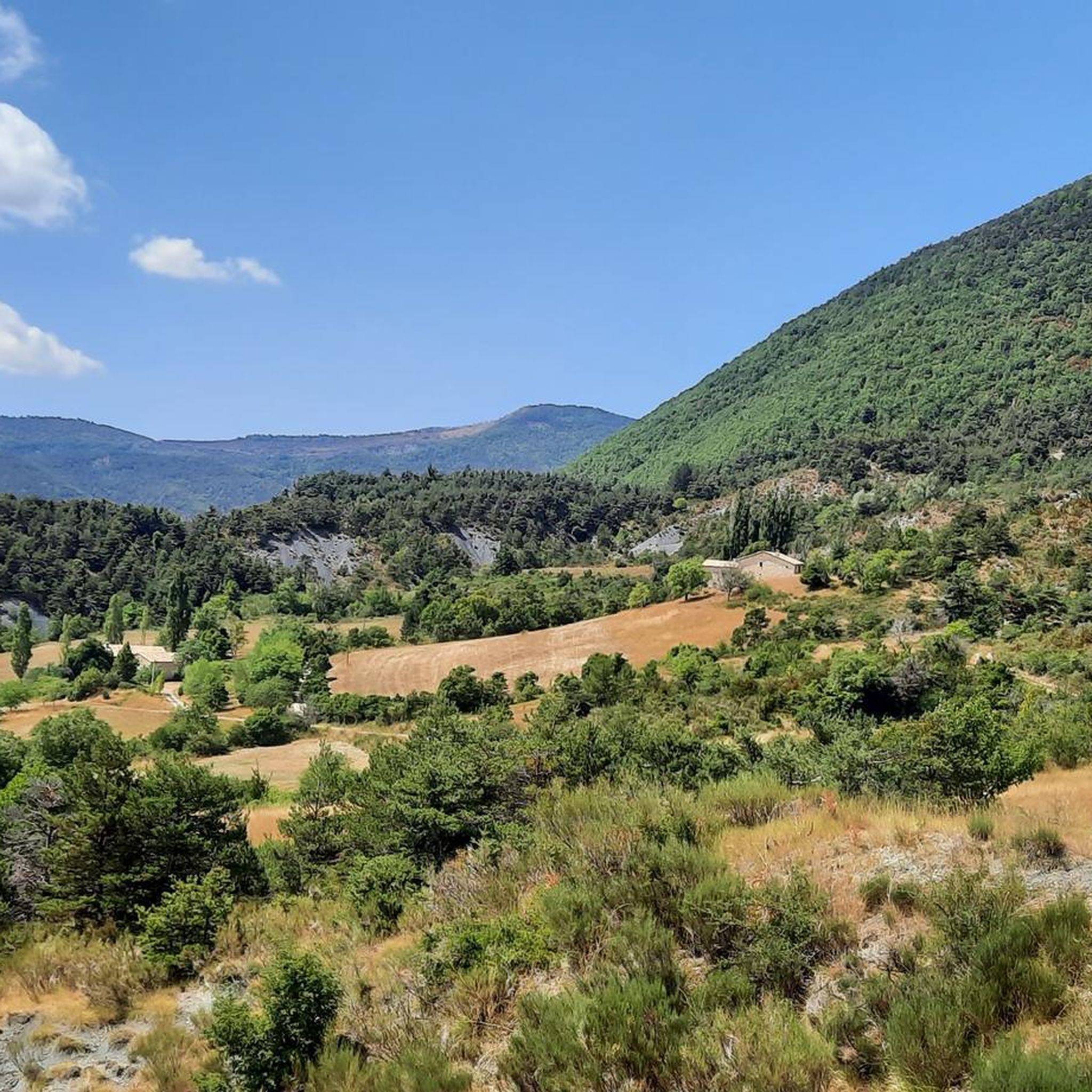
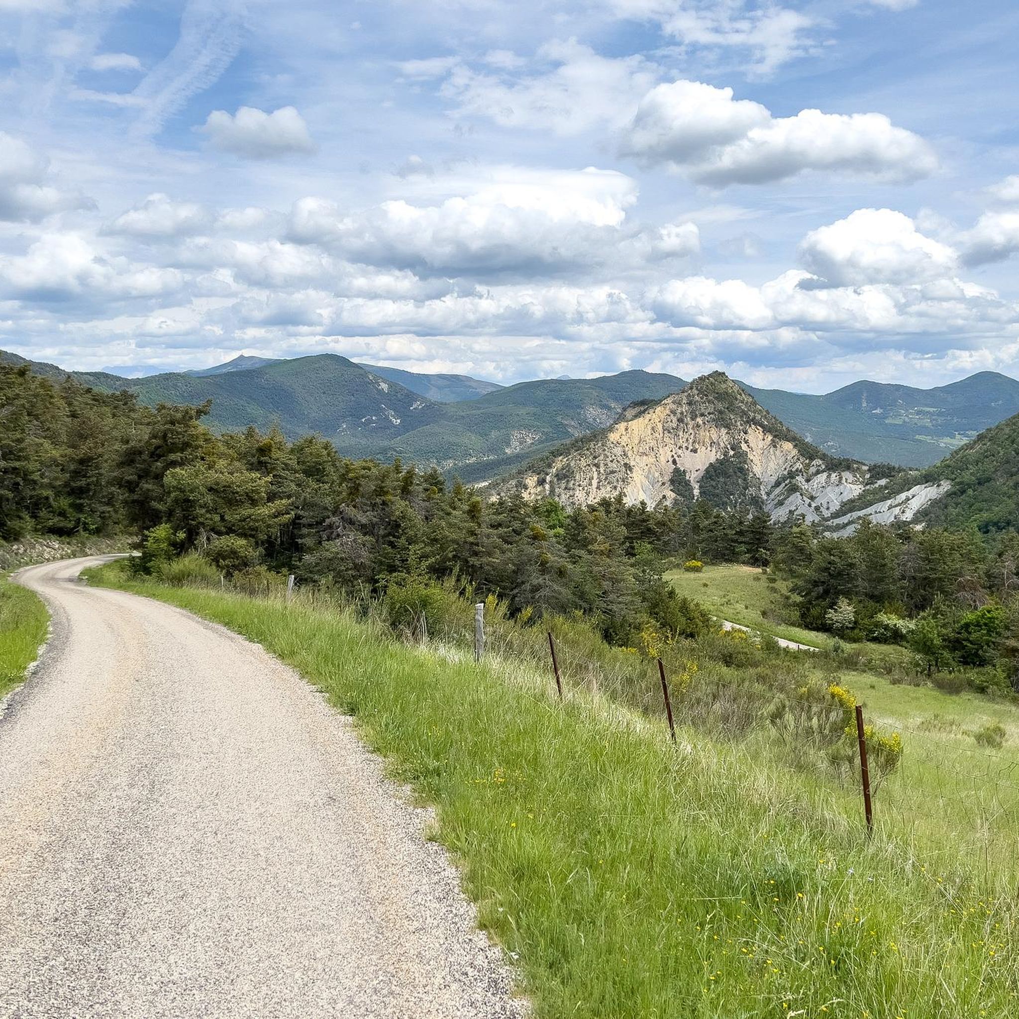
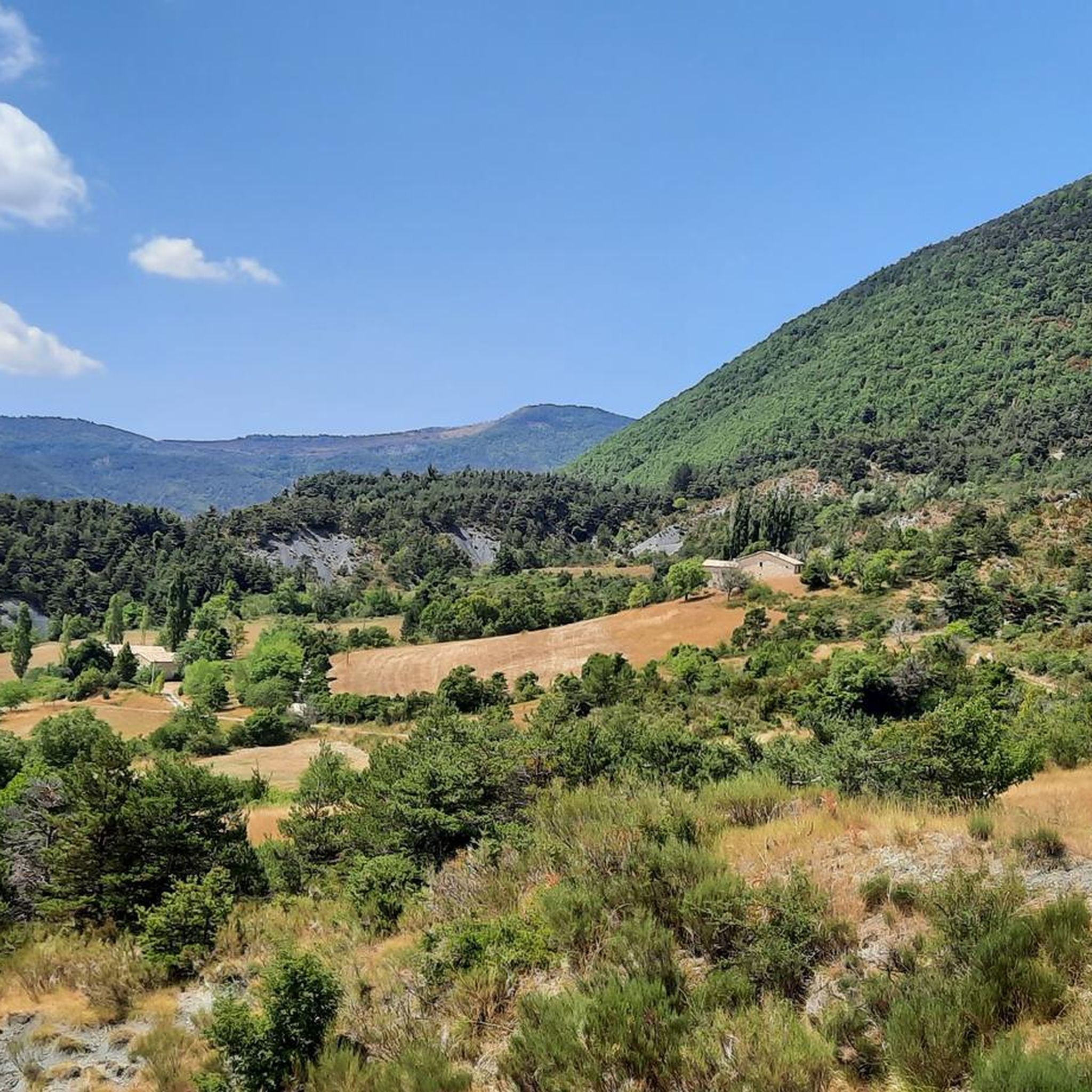
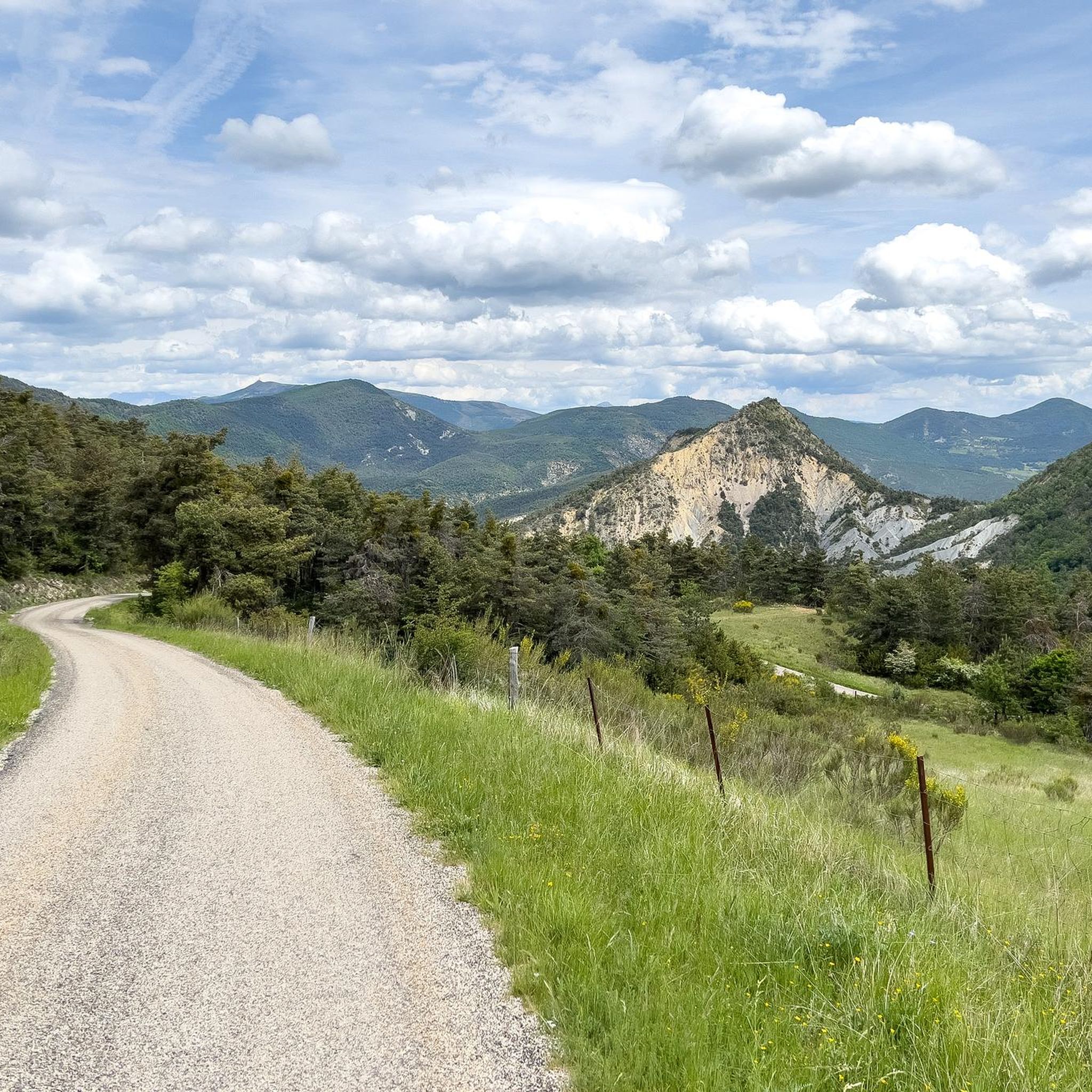
Jogging routes around Villebois-Les-Pins offer diverse landscapes within the Drôme department of the Auvergne-Rhône-Alpes region. The area is characterized by varied topography, with altitudes ranging from approximately 790 meters to over 1,400 meters, providing significant elevation changes for runners. Features include wooded cliffs, numerous water sources such as the Ravin de Bellerie and the Ruisseau de l'Emblard, and scenic uphill and downhill stretches. This natural setting provides a challenging and rewarding experience for those seeking active outdoor pursuits.
Best jogging…
Last updated: July 10, 2026
5.0
(1)
37
runners
9.02km
01:33
600m
600m
Hard run. Very good fitness required. Sure-footedness, sturdy shoes and alpine experience required.
4.3
(3)
35
runners
4.95km
00:48
300m
300m
Hard run. Good fitness required. Sure-footedness, sturdy shoes and alpine experience required.

Sign up for free
4.7
(6)
20
runners
6.44km
00:53
240m
240m
Hard run. Good fitness required. Sure-footedness, sturdy shoes and alpine experience required.
12
runners
16.5km
02:26
760m
760m
Hard run. Very good fitness required. Sure-footedness, sturdy shoes and alpine experience required.
4.7
(3)
9
runners
21.5km
03:06
1,010m
1,010m
Hard run. Very good fitness required. Sure-footedness, sturdy shoes and alpine experience required.
Get access to more routes and recommendations from other explorers.
Sign up for free
Already have an account?
Our route recommendations are based on thousands of hikes, rides, and runs completed by other people on komoot.
Start today with a free account
Your next adventure awaits.
Login or Signup
Tips from the Community

Orpierre is a small medieval village located in the Hautes-Alpes department in the Provence-Alpes-Côte d’Azur region of southeastern France. It has a population of between 300 and 330 inhabitants and stands in the Céans valley, surrounded by limestone cliffs and mountains that give it a unique landscape setting.
16
0
Orpierre is a small medieval village located in the Hautes-Alpes, in the Provence-Alpes-Côte d'Azur region, in southeastern France.
13
0

the drinking water fountain in the village of Orpierre
3
0

In rainy days the water is higher, so be prepared to take off your shoes:)
0
0

Orpierre is a tiny, pretty village at an altitude of 700 m with around 300 inhabitants in the middle of the cliffs. It has everything you need. A good starting point for hiking, cycling and climbing.
4
0

A very special place, not just for climbers. Pure easy living
1
0

Superb path overlooking the village of Orpierre. The view of the castle and the village is splendid. The path winds along the slopes of Rochas.
0
0
Frequently Asked Questions
How many running routes are available around Villebois-Les-Pins?
There are over 20 running routes around Villebois-Les-Pins, offering a variety of experiences for different skill levels. The area is known for its diverse landscapes and significant elevation changes, providing a challenging and rewarding experience for runners.
Are there running routes suitable for beginners in Villebois-Les-Pins?
While many routes feature significant elevation changes, there are 10 moderate running routes available. These might be suitable for beginners looking for a challenge, but be prepared for varied terrain and ascents. For example, the Orpierre – Orpierre village centre loop from Orpierre is a 6.4 km trail with over 230 meters of ascent, offering a good introduction to the local landscape.
What kind of terrain can I expect on the running trails in Villebois-Les-Pins?
The running trails in Villebois-Les-Pins are characterized by varied topography, with altitudes ranging from approximately 790 meters to over 1,400 meters. You can expect scenic uphill and downhill stretches, wooded cliffs, and numerous water sources like the Ravin de Bellerie and the Ruisseau de l'Emblard. The routes promise a challenging experience amidst generous nature.
Are there any running routes with notable viewpoints or natural features?
Yes, many routes offer panoramic views and showcase the region's natural beauty. For instance, the Viewpoint loop from Orpierre is a popular choice for its scenic vistas. The area also features magnificent wooded cliffs with its 'demoiselles' and various ravines and streams like the Torrent de Villebois and the unique Rhéby.
What do other runners enjoy most about the trails in Villebois-Les-Pins?
The running routes in Villebois-Les-Pins are highly rated by the komoot community, with an average score of 4.75 stars from over 10 reviews. Runners often praise the challenging elevation changes, the diverse natural landscapes, and the rewarding feeling of completing a difficult trail. Over 200 runners have used komoot to explore this varied terrain.
Are there any longer or more challenging running routes for experienced runners?
Absolutely. For experienced runners seeking a significant challenge, there are 14 difficult routes available. The Orpierre – Sainte-Colombe loop from Orpierre is a demanding 21.5 km trail with over 1,000 meters of ascent, offering an extensive and rigorous experience.
Can I find circular running routes in the area?
Yes, many of the running routes around Villebois-Les-Pins are circular, allowing you to start and finish in the same location. Examples include the Orpierre village centre – Orpierre loop from Orpierre, which is a 9.1 km circular trail, and the Orpierre – View of the Bagnols ravine loop from Orpierre, a longer 16.5 km option.
What are some nearby attractions or points of interest I can explore after a run?
Beyond the running trails, the region offers several natural and cultural attractions. You can explore nearby mountain passes like Perty Pass or Saint-Jean Pass. The charming village of Orpierre is also a notable highlight. Further afield, natural sites like the Gorges de la Nesque and Colorado Provençal are within driving distance.
Is there parking available near the running trailheads?
While specific parking details for each trailhead are best checked on individual route pages, many routes around Villebois-Les-Pins, particularly those starting from villages like Orpierre, typically offer public parking options. It's advisable to consult the route description on komoot for the most accurate information.
What is the best time of year for running in Villebois-Les-Pins?
The diverse topography and significant elevation changes mean that running conditions can vary seasonally. Spring and autumn generally offer pleasant temperatures for running. Summers can be warm, especially at lower altitudes, while winters might bring colder conditions and potentially snow at higher elevations. Always check local weather forecasts before heading out.
Are there any running routes that pass by specific landmarks or villages?
Yes, several routes incorporate local landmarks and villages. For example, the Orpierre village centre – Orpierre loop from Orpierre starts and ends in Orpierre, allowing you to experience the local settlement. The Orpierre – View of the Bagnols ravine loop from Orpierre also offers views of the Bagnols ravine, a local point of interest.
What is the longest running route available in this guide?
The longest running route featured in this guide is the Orpierre – Sainte-Colombe loop from Orpierre. This challenging trail spans approximately 21.5 km and includes over 1,000 meters of elevation gain, making it suitable for endurance runners.
Most popular routes around Villebois-Les-Pins
Most popular attractions around Villebois-Les-Pins

Get inspired with the komoot mobile app


Explore more
Browse the best Running Trails & Routes in other regions.
