The best cycling routes around Villebois-Les-Pins
4.6
(48)
634
riders
34
rides
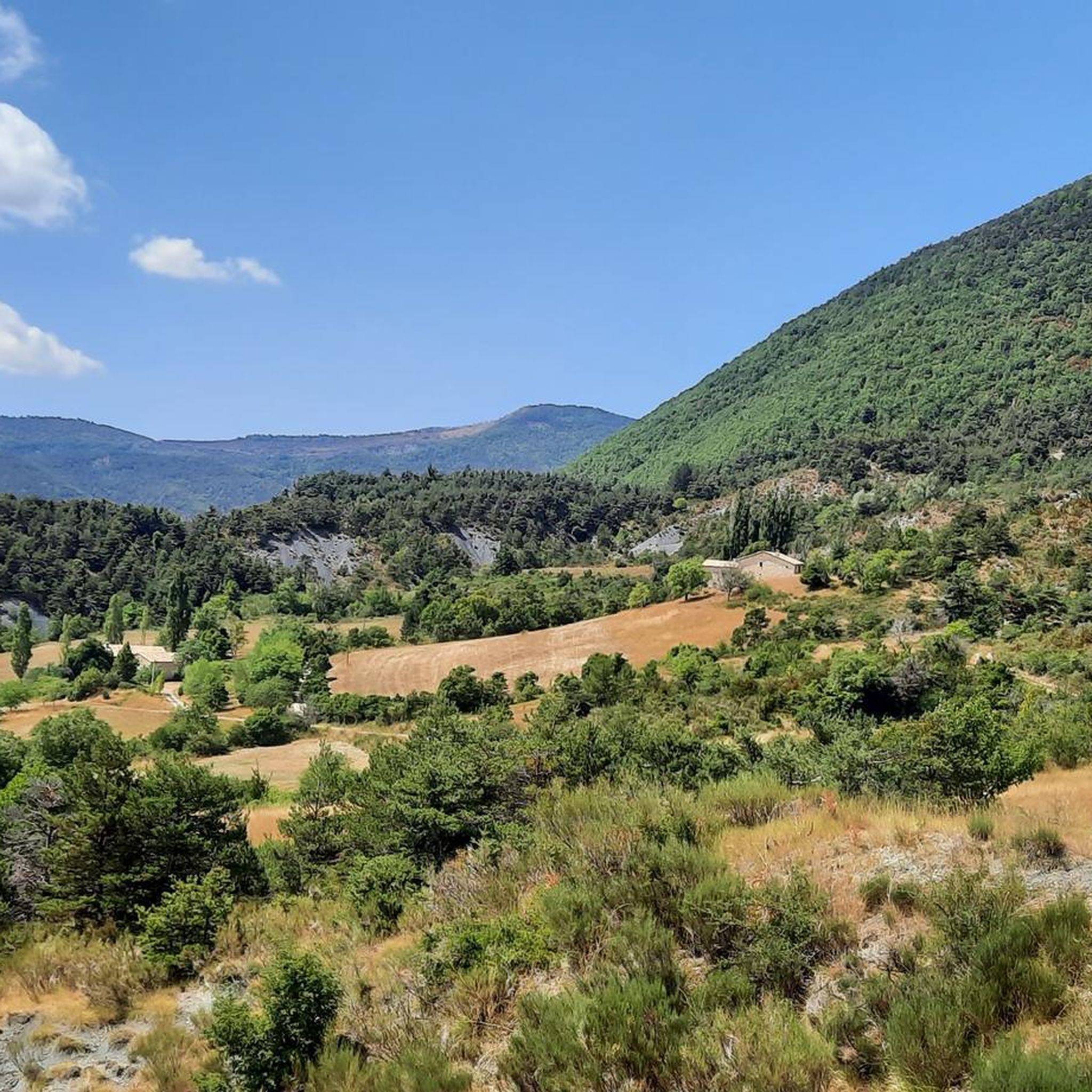
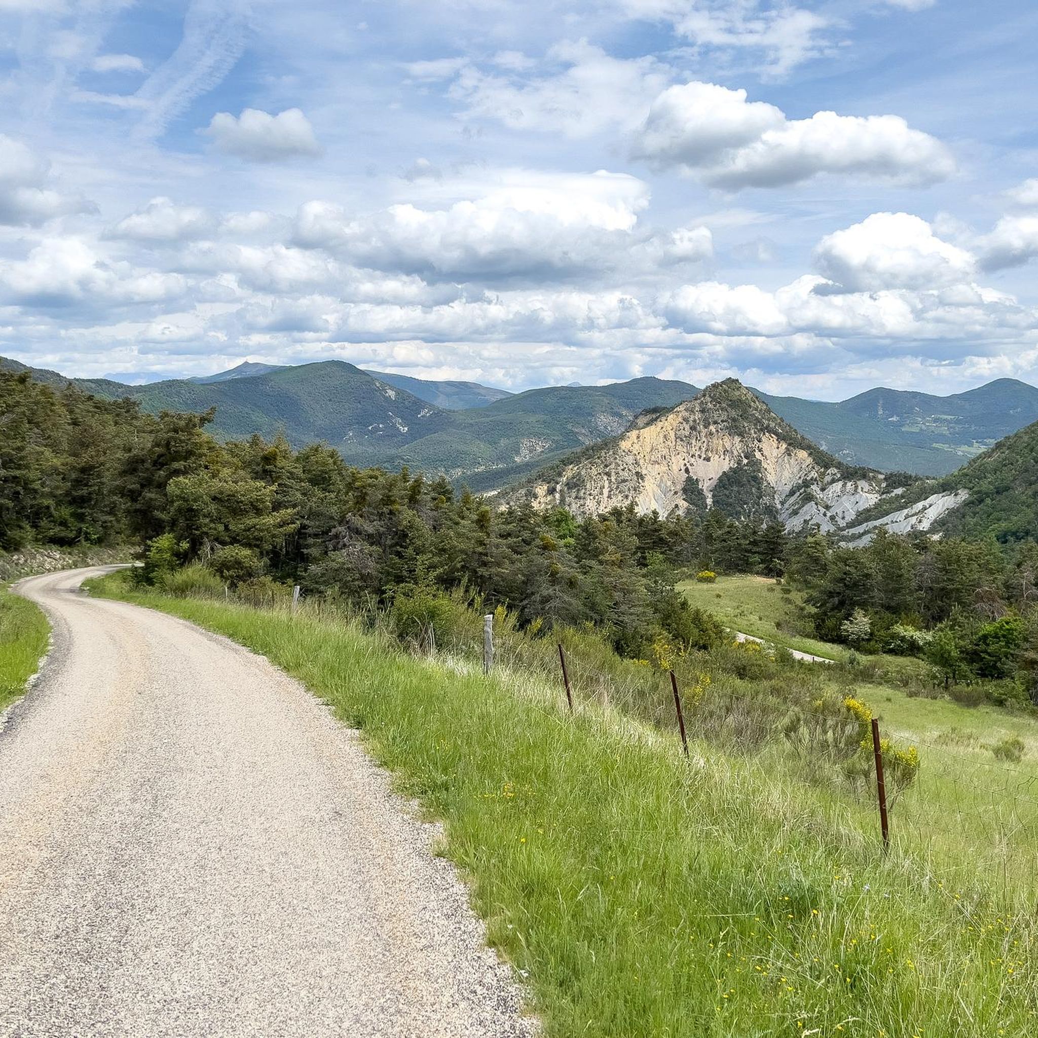
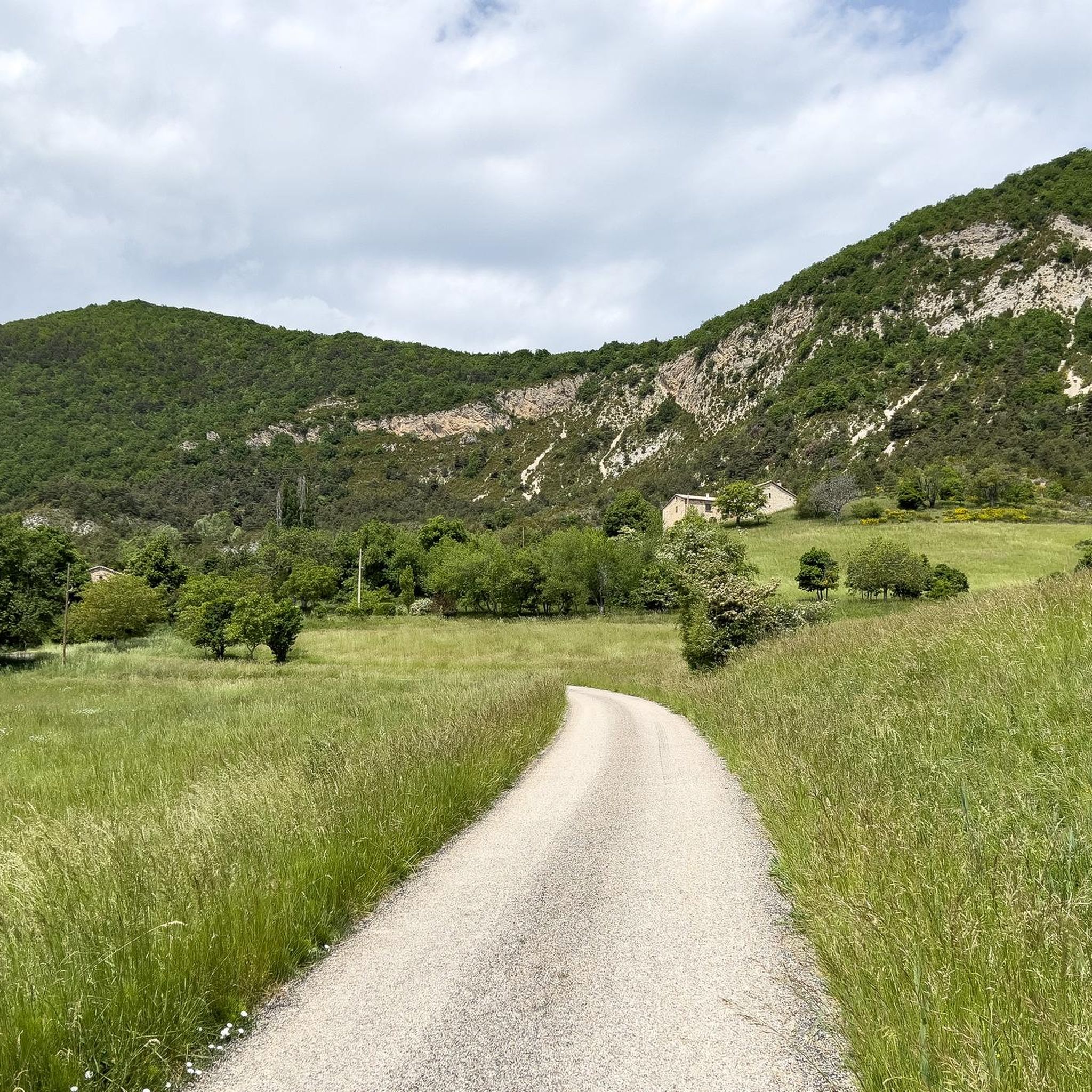
Touring cycling around Villebois-Les-Pins offers routes through varied terrain, characterized by its position in the Drôme department of the Auvergne-Rhône-Alpes region. The commune features numerous streams and ravines, including the Ravin de Bellerie and Ravin des Baumes, which contribute to its diverse landscape. Elevations range from approximately 792 meters to 1,415 meters, providing both ascents and descents for cyclists. This rural environment is well-suited for exploring natural features and scenic areas by bike.
Best touring cycling routes around Villebois-Les-Pins
- The…
Last updated: July 13, 2026
4.5
(4)
64
riders
90.8km
05:59
1,200m
1,200m
Hard bike ride. Very good fitness required. Mostly paved surfaces. Suitable for all skill levels.
4.8
(8)
58
riders
34.2km
02:30
760m
760m
Hard bike ride. Very good fitness required. Mostly paved surfaces. Suitable for all skill levels.

Sign up for free
4.9
(7)
45
riders
23.6km
01:36
380m
380m
Moderate bike ride. Good fitness required. Mostly paved surfaces. Suitable for all skill levels.
45
riders
102km
07:09
2,000m
2,000m
Hard bike ride. Very good fitness required. Mostly paved surfaces. Suitable for all skill levels.
5.0
(1)
31
riders
35.9km
02:28
640m
640m
Hard bike ride. Very good fitness required. Mostly paved surfaces. Suitable for all skill levels.
Get access to more routes and recommendations from other explorers.
Sign up for free
Already have an account?
Our route recommendations are based on thousands of hikes, rides, and runs completed by other people on komoot.
Start today with a free account
Your next adventure awaits.
Login or Signup
Tips from the Community

For cyclists: * West side (Montauban-sur-l’Ouvèze / La Combe): 11-12.5 km with an average gradient of around 5%, maximum about 9%. Steady climb, never extreme. * East side (Laborel): 8.5 km at 5.6% on average, with peaks up to 7.7%. This is the shorter and smoother side.
11
0
Saint-Auban is a small and characteristic village in the Provence-Alpes-Côte d'Azur region, located at an altitude of about 1,100 meters, at the foot of the spectacular Tracastel rock face.
5
0
For cyclists it's a climb: * Length: approx. 7 km * Elevation gain: approx. 320 m * Average gradient: 4.6% * Maximum gradient: approx. 5%
5
0
The Col de Perty (1,302 m) is located in the Baronnies Provençales massif, on the border between the departments of Drôme and Hautes-Alpes, in the southeast of France. It connects the Ouvèze valley with that of Orpierre and is one of the most popular passes for cyclists in the area.
9
0
The Col de Soubeyrand (987–994 m, depending on the map source) is located in the Drôme department, in the Auvergne-Rhône-Alpes region, within the Baronnies provençales massif. It connects the Eygues valley with the Ennuye valley, between the villages of Rémuzat and Sainte-Jalle.
7
0
The Col de Peyruergue (794 m) is a pass located in the Drôme department, within the Parc naturel régional des Baronnies provençales. It connects the Ennuye valley with that of the Ouvèze, near Saint-Sauveur-Gouvernet.
6
0
Building maintained in excellent condition.
9
0
Verclause is a small commune in the Drôme, in the Auvergne-Rhône-Alpes region, in the southeast of France. It is located in the Eygues river valley, at the foot of the Prealps, in a quiet area much appreciated by cyclists and motorcyclists for its numerous scenic roads and mountain passes. It is close to the border with the Hautes-Alpes department, not far from locations such as Orpierre and Séderon.
6
0
Frequently Asked Questions
How many touring cycling routes are available around Villebois-Les-Pins?
There are over 35 touring cycling routes around Villebois-Les-Pins. These routes offer a variety of experiences, from easier rides to more challenging ascents through the region's diverse landscapes.
What is the typical terrain like for touring cycling in Villebois-Les-Pins?
The terrain around Villebois-Les-Pins is varied, characterized by its position in the Drôme department. You'll encounter numerous streams and ravines, such as the Ravin de Bellerie and Ravin des Baumes. Elevations range significantly, from approximately 792 meters to 1,415 meters, providing both scenic ascents and descents.
Are there touring cycling routes suitable for beginners?
Yes, there are a few easier touring cycling routes available. While many routes in the area are moderate to difficult, beginners can find options to enjoy the scenic rural environment at a more relaxed pace.
What are some challenging routes for experienced touring cyclists?
For experienced touring cyclists seeking a challenge, routes like the Orpierre – Perty Pass loop from Laborel offer significant elevation gain over 36.5 km. Another demanding option is the Orpierre village centre – Saint-Jean Pass loop from Le Pouly, which covers 40.1 km with over 1000 meters of ascent.
What natural features or landmarks can I see while touring cycling in the region?
The region offers several notable natural features and landmarks. You can explore mountain passes like Perty Pass and Saint-Jean Pass. The broader area also provides access to dramatic sites like the Gorges de la Nesque and the unique ochre cliffs of Colorado Provencal, though these may require a longer ride or a separate trip.
Are there any specific viewpoints or scenic spots along the touring cycling routes?
Yes, many routes offer panoramic views. For instance, you might encounter viewpoints such as the View from the Summit of Rocher de Saint-Michel or the View of the Bagnols ravine. The varied altitudes and rural setting ensure numerous scenic vistas throughout your ride.
When is the best time of year to go touring cycling in Villebois-Les-Pins?
The region, being in the Auvergne-Rhône-Alpes, generally offers pleasant conditions for touring cycling from spring through early autumn. The summer months provide longer daylight hours, but spring and autumn can offer cooler temperatures and vibrant scenery, ideal for longer rides.
What do other touring cyclists enjoy most about cycling in Villebois-Les-Pins?
The touring cycling routes around Villebois-Les-Pins are highly rated by the komoot community, with an average score of 4.8 stars from over 40 reviews. Cyclists often praise the varied terrain, the extensive views, and the opportunity to explore natural sites like the Gorges de la Méouge.
Are there any circular touring cycling routes in the area?
Yes, many touring cycling routes in Villebois-Les-Pins are designed as loops, allowing you to start and end your journey in the same location. An example is the Reychasset Pass – Church in Les Begues loop from Laux-Montaux, which offers a challenging circular ride through rural landscapes.
Are there any towns or villages along the routes where I can stop for refreshments?
While Villebois-Les-Pins itself is a rural commune, many routes pass through or near small villages and towns like Orpierre or Montjay. These settlements may offer opportunities for refreshments or a break, but it's always advisable to carry sufficient water and snacks, especially on longer or more remote sections.
Is public transport an option for accessing touring cycling routes in Villebois-Les-Pins?
Given the rural nature of Villebois-Les-Pins and its dispersed housing, direct public transport options to specific trailheads might be limited. It's generally recommended to plan your transport to the starting points, often by car, or to start your ride directly from your accommodation in the area.
Are there any specific passes or mountain peaks that can be reached by touring bike?
Yes, the region features several passes that are part of touring cycling routes. You can cycle over passes such as Perty Pass and Saint-Jean Pass. While reaching the very summit of peaks like Chamouse Mountain might require hiking, many routes offer stunning views of these mountainous landscapes.
Most popular routes around Villebois-Les-Pins
Most popular attractions around Villebois-Les-Pins

Get inspired with the komoot mobile app


Explore more
Browse the best Cycling routes in other regions.
