The best road cycling routes around Banos
4.1
(20)
1,211
riders
172
rides
Road cycling routes around Banos are set within a landscape where the Andean highlands transition into the Amazon rainforest. The region is characterized by the deep Pastaza River canyon, numerous waterfalls, and the dramatic backdrop of the Tungurahua volcano. Road cyclists navigate routes that range from largely downhill stretches along river valleys to more challenging climbs into the surrounding mountains. This diverse terrain offers varied gradients and scenic vistas for road cycling.
Best road cycling routes around Banos
- The most…
Last updated: October 16, 2026
62
riders
136km
06:33
1,560m
1,560m
Hard road ride. Very good fitness required. Mostly well-paved surfaces and easy to ride.
6
riders
41.1km
01:52
450m
450m
Moderate road ride. Good fitness required. Mostly well-paved surfaces and easy to ride.

5
riders
31.0km
01:22
300m
300m
Easy road ride. Great for any fitness level. Mostly well-paved surfaces and easy to ride.
5
riders
49.0km
02:22
560m
560m
Moderate road ride. Good fitness required. Mostly well-paved surfaces and easy to ride.
6
riders
52.8km
02:26
520m
520m
Moderate road ride. Good fitness required. Mostly well-paved surfaces and easy to ride.
Get access to more routes and recommendations from other explorers.
Already have an account?
Our route recommendations are based on thousands of hikes, rides, and runs completed by other people on komoot.
Start today with a free account
Your next adventure awaits.
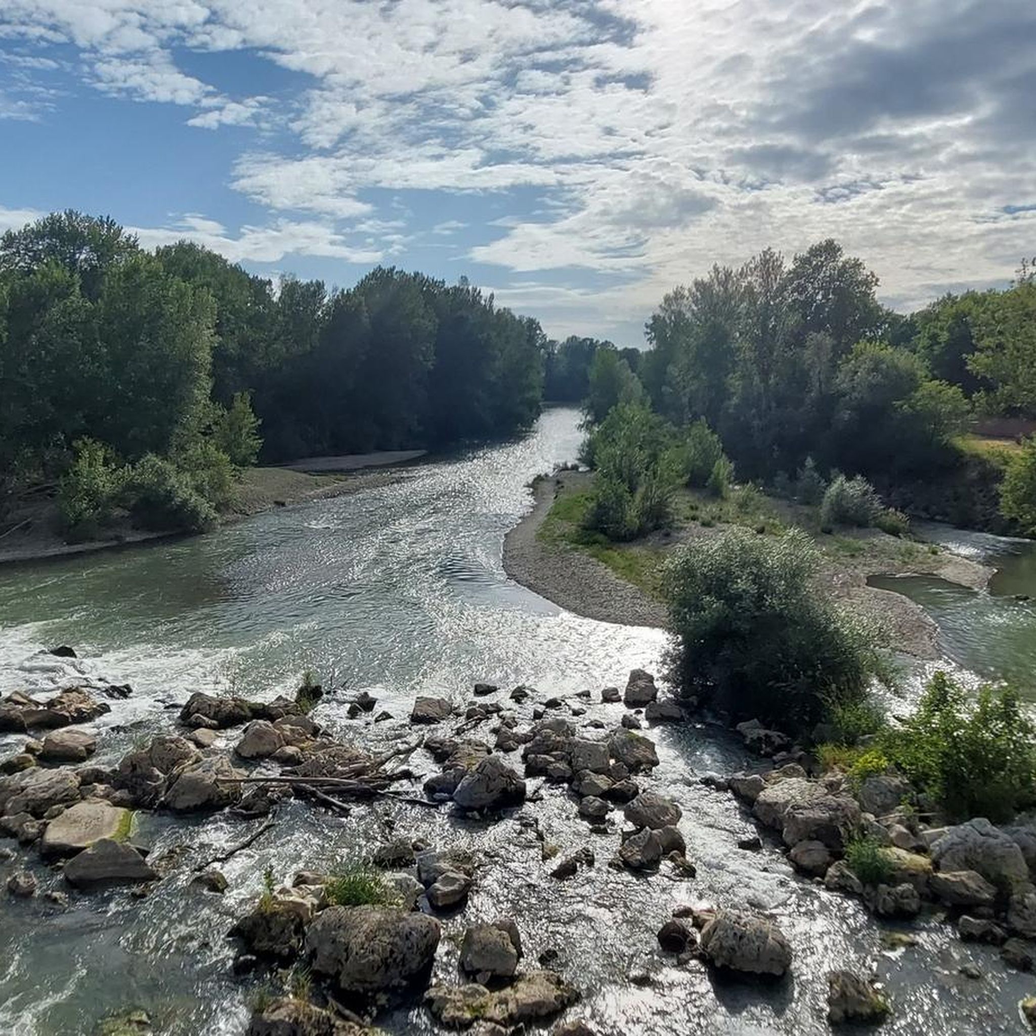
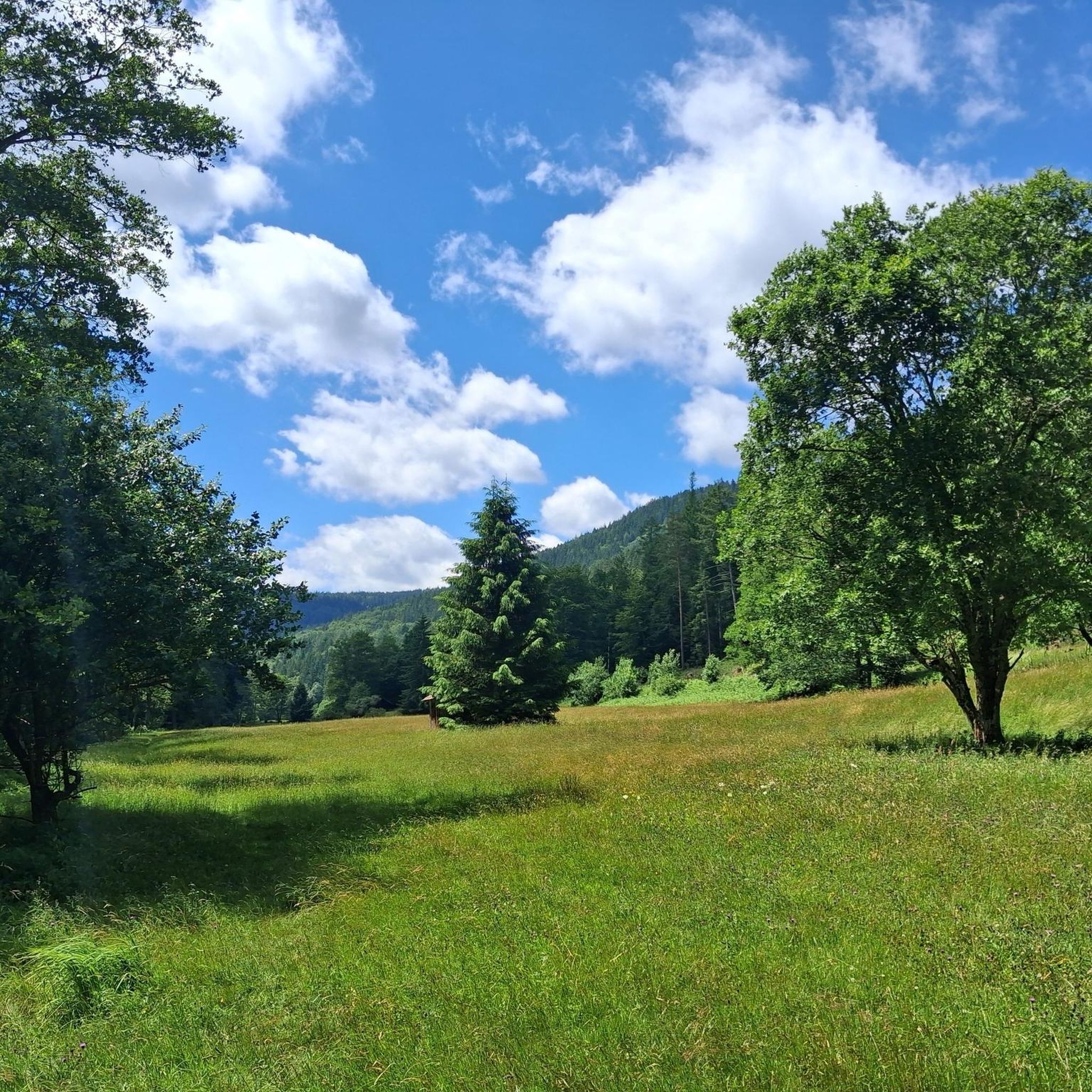
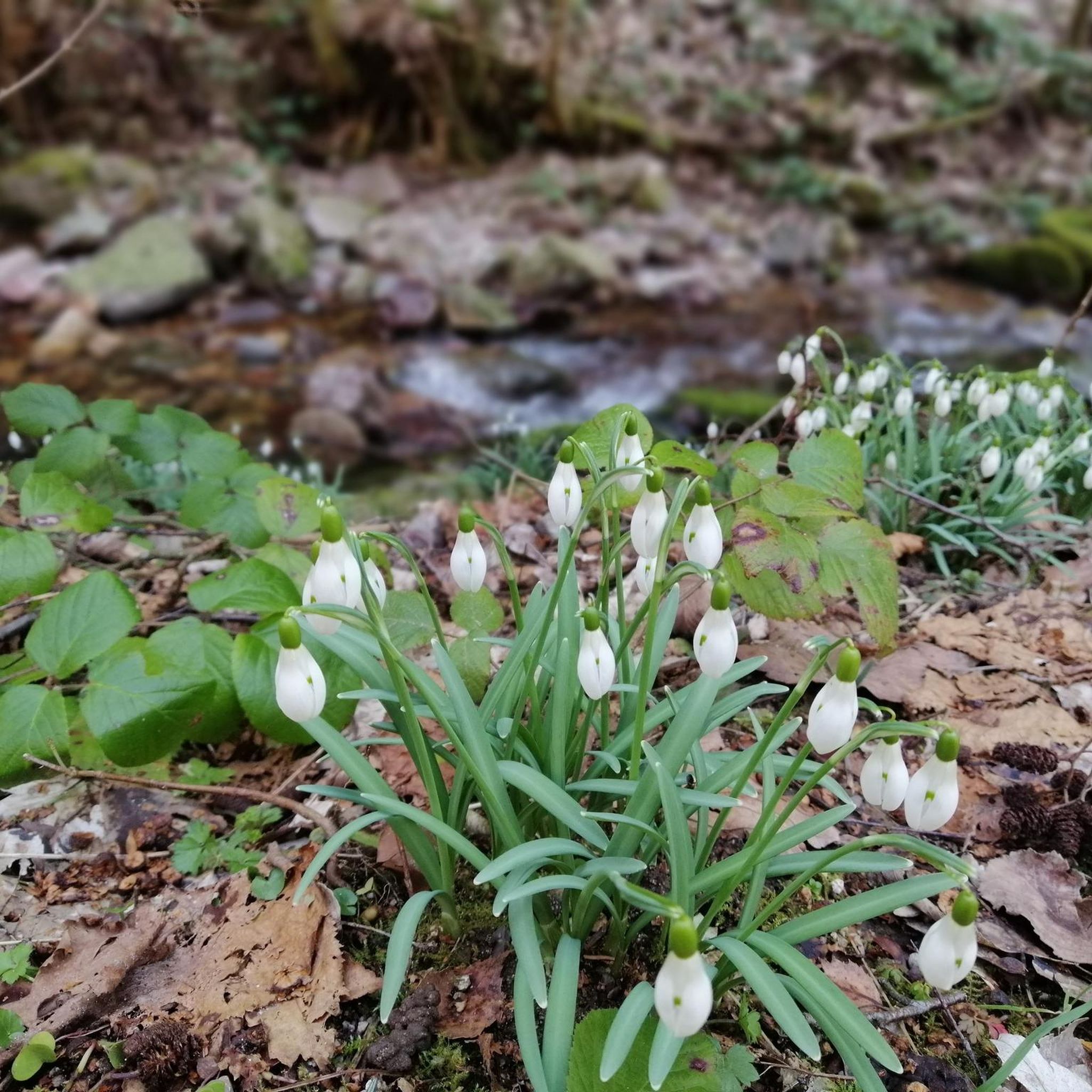
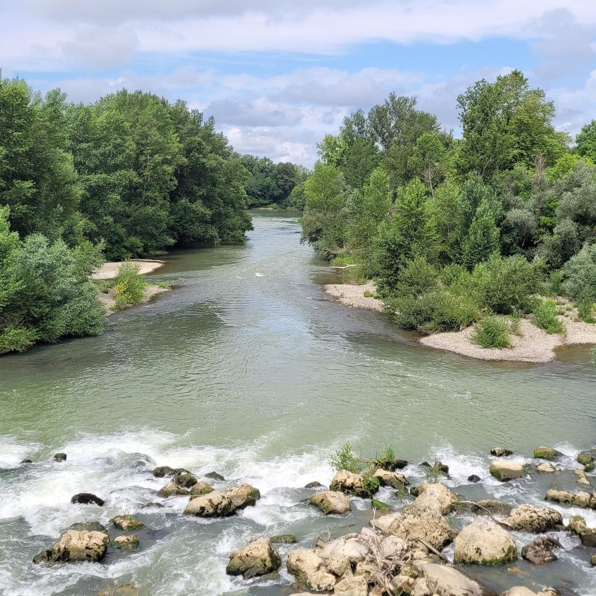

Tips from the Community

Mugron is a small hilltop town with a lovely view. Park near the church and visit the Tree of Liberty, planted in the 19th century. It's majestic, and right next to it is a lovely viewpoint. Take a moment to admire the landscape beneath its canopy of trees. Mugrón is easily explored on foot. You'll find plenty to pack for a picnic, and then head to the leisure center: a lake where you can swim and enjoy water slides with the kids. There's a refreshment bar in season and everything you need for a pleasant time with family or friends, at a very reasonable price! The banks of the Adour also offer lovely walks. Source: https://www.guide-des-landes.com/fr/experiences/culturelle/article-visiter-mugron-et-rouge-garance-187.html
1
0
Built on the old railway line that connected Saint-Sever to the spa town of Dax, the Chalosse Green Route offers a 34-kilometer stretch on smooth, hard-surfaced ground. The route offers a bucolic atmosphere with landscapes of woods, hills, and meadows. Among the main tourist attractions are the town center of Saint-Sever (whose abbey is a UNESCO World Heritage Site as part of the Santiago de Compostela Route), the villages of Mugron and Montfort with its Chalosse Museum, and Montaut, a charming Chalosse village. The Landes-Chalosse destination will delight cyclists thanks to its green route and numerous hiking trails. Source: https://www.landes-chalosse.com/se-divertir/fan-de-nature-loisirs-et-activites-de-plein-air/la-voie-verte-de-chalosse
1
0


The decree of the Convention of 3 Pluviose Year II (January 23, 1794) ordered the planting of a Liberty Tree in all communes, a symbol of the Revolution's success over the Ancien Régime and its privileges. These were most often Italian poplars, symbolizing Equality, the Latin word "populus" meaning both the people and the poplar. The day after the proclamation of the Second Republic on February 25, 1848, the municipal council planted the most suitable tree from the Mugron forest, as a token of support for the Republic. Four years later, with the advent of the Second Empire, following a circular from Prince President Louis Napoléon, the Liberty Tree was cut down. "Its wood could be usefully used to repair the rubbish dump located in the lower courtyard of the Town Hall." The current tree, a pedunculate oak, was planted in 1947 during an event bringing together the Municipal Council and the population, including school children.
1
0

Arrival in this superb spa town of EUGENIR LES BAINS, its wooded landscapes and warm welcome make it an exceptional village
0
0
From the belvedere (110 meters above sea level), the gaze embraces the hills of Chalosse to the pine forest of the Landes in the distance. Below, the Dax-Saint-Sever railway line has given way to the greenway that walkers follow. For sports enthusiasts, a fitness trail has been set up. On Place François Dupaya, you will also find a picnic point. Facing the Chalosse landscape, tables, benches and a fountain await you.
1
0

Here the famous Lady of Brassempouy was discovered in 1894, today attested as the first human face.
2
0
Frequently Asked Questions
How many road cycling routes are available around Baños?
There are over 170 road cycling routes around Baños, offering a wide range of options for different preferences and skill levels. These include easy, moderate, and difficult trails.
What makes road cycling in Baños unique?
Road cycling in Baños is unique due to its location at the transition point between the Andean highlands and the Amazon rainforest. This creates a dramatic landscape featuring the deep Pastaza River canyon, numerous waterfalls, and the active Tungurahua volcano as a backdrop. Routes offer a mix of scenic downhill stretches and more challenging climbs.
Are there easy road cycling routes suitable for beginners or families?
Yes, Baños offers easy road cycling routes. The Saint-Sever Church – Boulogne Forest Hill loop from Saint-Sever is an easy 20.5 km (12.7 miles) route. The famous Ruta de las Cascadas, while not listed as 'easy' in the data, is largely downhill from Baños towards Puyo, making it very accessible and popular for those seeking a less strenuous ride with stunning views.
Which road cycling routes feature waterfalls?
The most prominent route for waterfalls is the Ruta de las Cascadas. This 25 km (15.5 miles) trail follows the Pastaza River canyon and passes numerous waterfalls, including the majestic Pailón del Diablo and Manto de la Novia.
Can I see the Tungurahua volcano while cycling?
Yes, you can cycle routes that offer views of the Tungurahua volcano. The Tungurahua Foothills Loop is a 30.5 km (19.0 miles) trail that leads through the lower slopes surrounding the volcano, providing panoramic views of the Andean landscape.
Are there challenging road cycling routes for experienced cyclists?
Absolutely. For experienced cyclists, there are challenging routes like the Saint-Sever Abbey – Côte de Montgaillard loop from Saint-Sever, which covers 134.5 km (83.6 miles) with significant elevation gain. The Banos to Puyo Section also offers a longer, more demanding ride extending 63.3 km (39.3 miles) into the Amazon basin.
What natural landmarks can I expect to see along the routes?
Beyond the numerous waterfalls, you'll encounter the dramatic Pastaza River canyon, lush tropical vegetation as you descend towards the Amazon basin, and the imposing presence of the Tungurahua volcano. The region's biodiversity is also a highlight.
Are there any circular road cycling routes around Baños?
Yes, there are several circular routes. Examples include the Côte de Saint-Sever – Saint-Sever Abbey loop from Saint-Sever (40.2 km / 25.0 miles) and the Saint-Sever Abbey – Saint-Sever Church loop from Saint-Sever (30.9 km / 19.2 miles). These loops allow you to start and end in the same location.
What do other road cyclists enjoy the most about road cycling in Baños?
The area is highly rated by the komoot community, with an average score of 3.8 stars from over 17 reviews. Reviewers often praise the stunning scenic vistas, the unique transition from Andean peaks to Amazonian lowlands, and the diverse options available for different ability levels, from scenic downhill rides to more demanding climbs.
What are some interesting places to explore near the cycling routes?
While cycling, you can explore various attractions. Notable highlights include The Chalosse Viewpoint for panoramic views, and historical religious buildings like Saint-Sever Church and Saint-Sever Abbey. Many waterfalls along the Ruta de las Cascadas also offer trails and activities like ziplining.
Most popular attractions around Banos

Get inspired with the komoot mobile app


Explore more
Browse the best Road cycling routes in other regions.
