The best road cycling routes around Bernin
4.5
(908)
17,417
riders
158
rides
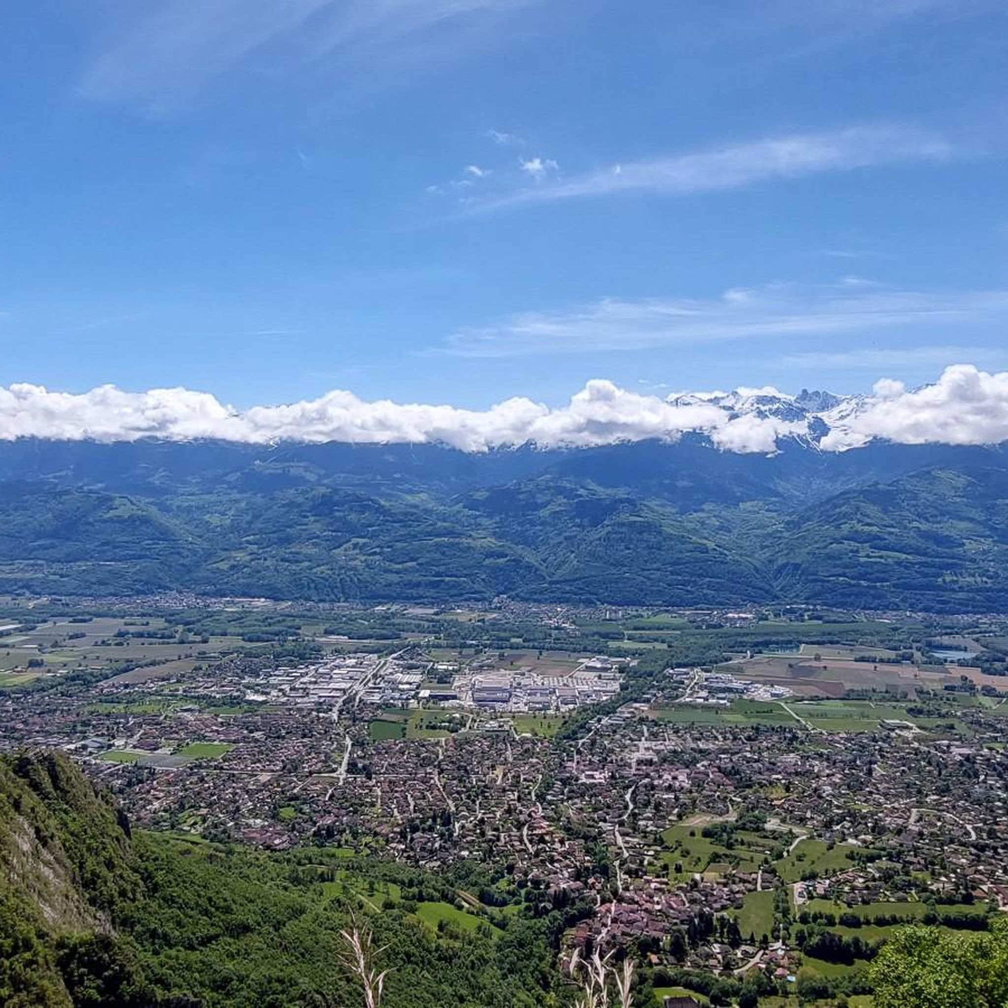
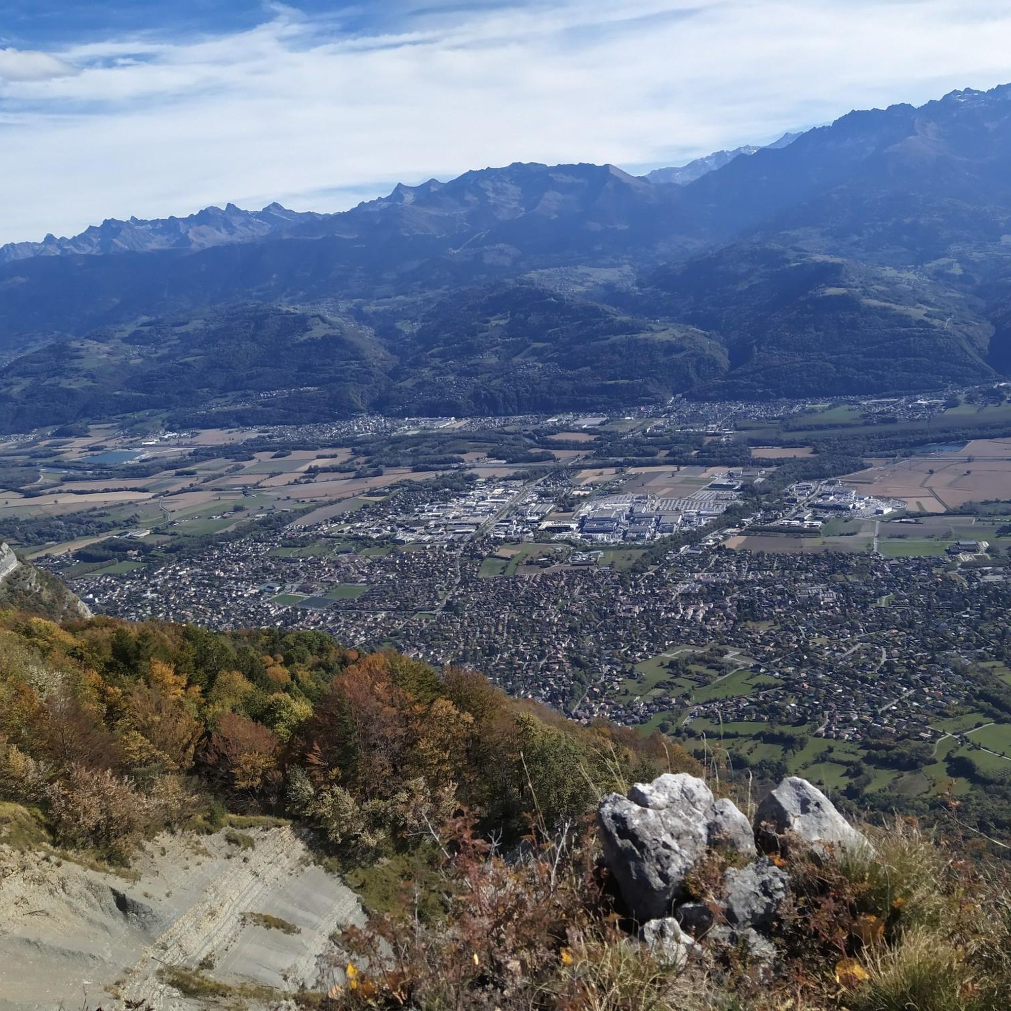
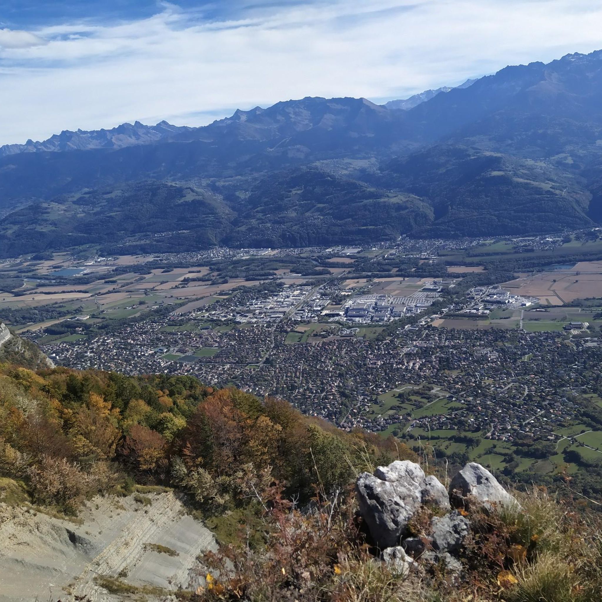
Road cycling routes around Bernin are characterized by challenging mountain passes and significant elevation gains within the French Alps. The region features a landscape of steep ascents, winding roads through forested areas, and high-altitude passes. Cyclists can expect routes that navigate through valleys and climb towards panoramic viewpoints.
Best road cycling routes around Bernin
- The most popular road cycling route is Quaix-en-Chartreuse – Clémencières Pass loop from Lancey, a 43.2 miles (69.6 km) trail that takes 3 hours 49…
Last updated: October 9, 2026
4.5
(32)
765
riders
74.7km
04:57
2,350m
2,350m
Hard road ride. Very good fitness required. Mostly well-paved surfaces and easy to ride.
4.3
(12)
221
riders
95.9km
04:09
750m
750m
Moderate road ride. Good fitness required. Some segments of this route may be unpaved and difficult to ride.

4.2
(13)
264
riders
79.1km
04:18
1,500m
1,500m
Hard road ride. Very good fitness required. Mostly well-paved surfaces and easy to ride.
5.0
(2)
182
riders
120km
06:17
2,210m
2,210m
Hard road ride. Very good fitness required. Mostly well-paved surfaces and easy to ride.
5.0
(6)
207
riders
92.2km
05:15
2,060m
2,060m
Hard road ride. Very good fitness required. Mostly well-paved surfaces and easy to ride.
Get access to more routes and recommendations from other explorers.
Already have an account?
Our route recommendations are based on thousands of hikes, rides, and runs completed by other people on komoot.
Start today with a free account
Your next adventure awaits.
Tips from the Community

beautiful route without traffic in the Isar valley
0
0

beautiful bike route with little traffic
0
0
beautiful road through the vineyards with little traffic
0
0

unmissable place in the Chambéry region, view of the different massifs and vineyards
0
0
Hello, a very nice walk, beautiful viewpoints, a bit long but worth the detour
0
0

It is indeed Chartreuse. There is also a "must-see" that presents "a magnificent view" of Chartreuse when it is actually Belledonne!!
0
0

Magnificent mountain scenery
0
0
Frequently Asked Questions
What kind of terrain can I expect when road cycling in Bernin?
Road cycling routes around Bernin are characterized by challenging mountain passes and significant elevation gains within the French Alps. You can expect steep ascents, winding roads through forested areas, and high-altitude passes, offering routes that navigate through valleys and climb towards panoramic viewpoints.
How many road cycling routes are available in Bernin?
There are over 150 road cycling routes in Bernin, catering to various skill levels. The komoot community has explored more than 13,350 of these routes.
How challenging are the road cycling routes in Bernin?
The majority of road cycling routes in Bernin are considered challenging, with 55 routes rated as 'difficult' and 75 as 'moderate'. These routes often feature extensive climbs and significant elevation gains, such as the Col du Coq Pass – Col de Porte loop from Lancey, which includes over 2,200 meters of ascent.
Are there any easier road cycling routes in Bernin?
While Bernin is known for its challenging mountain passes, there are 23 routes categorized as 'easy' for road cycling. These routes offer a less strenuous experience while still allowing you to enjoy the region's beauty.
What do other road cyclists enjoy most about road cycling in Bernin?
The road cycling routes in Bernin are highly rated by the komoot community, with an average score of 4.4 stars from over 636 reviews. Cyclists often praise the challenging mountain passes, extensive climbs, and routes through alpine forests that define the region's unique cycling experience.
Are there circular road cycling routes available in Bernin?
Yes, many road cycling routes in Bernin are designed as loops, allowing you to start and finish at the same point. Examples include the Quaix-en-Chartreuse – Clémencières Pass loop from Lancey and the Marcieu Pass (1,060 m) – Saint Hilaire du Touvet loop from Brignoud.
What are some notable mountain passes I can cycle in Bernin?
Bernin is home to several significant mountain passes ideal for road cycling. You can challenge yourself on passes like Col de Porte (1326 m), Col du Coq, and Col du Cucheron. These passes offer both demanding climbs and rewarding views.
Are there any huts or refuges along the road cycling routes in Bernin?
Yes, there are several huts and refuges in the Bernin area that can serve as resting points or destinations. Notable options include the Habert of Chamechaude, Refuge Jean Collet, and Manival Forest Refuge.
What is a popular long-distance road cycling route in Bernin?
A popular long-distance option is the Croix de Pinet – Revollat Cross loop from Lancey. This challenging trail spans 74.9 miles (120.6 km) and includes over 2,200 meters of elevation gain, typically taking around 6 hours and 23 minutes to complete.
Can I find routes that combine multiple passes in Bernin?
Absolutely. Routes like the Col du Coq Pass – Col de Porte loop from Lancey are designed to take you over multiple high mountain passes, offering a comprehensive challenge and diverse scenery.
What is the typical duration for a road cycling route in Bernin?
Route durations vary significantly based on distance and elevation. For example, the Quaix-en-Chartreuse – Clémencières Pass loop from Lancey typically takes around 3 hours and 49 minutes, while longer routes like the Croix de Pinet – Revollat Cross loop from Lancey can take over 6 hours.
Most popular attractions around Bernin

Get inspired with the komoot mobile app


Explore more
Browse the best Road cycling routes in other regions.
