The best walks and hikes around Bernin
4.5
(2206)
24,508
hikers
18
hikes
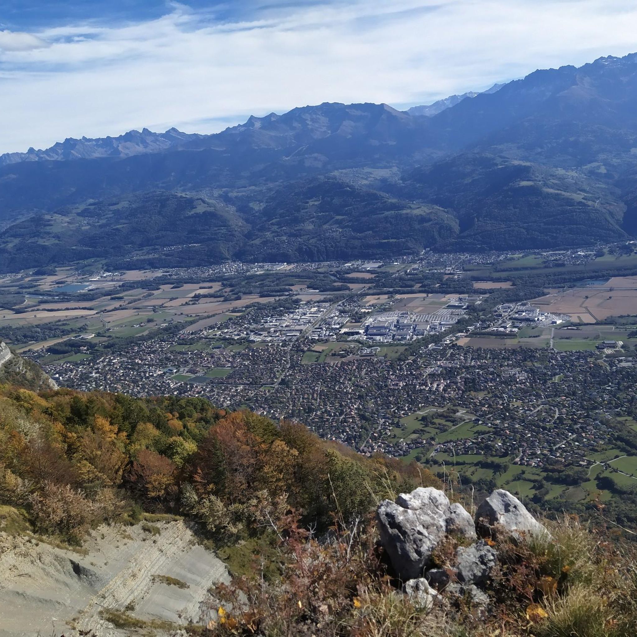
Hiking around Bernin offers routes through varied terrain, characterized by its proximity to the Chartreuse Massif. The region features a mix of forested paths and trails that provide views of surrounding peaks. Elevation changes are common, with routes ascending into the hills. The landscape includes natural features such as the Craponoz Waterfall, which is a focal point for several trails.
Best hiking trails around Bernin
- The most popular hiking route is Craponoz Waterfall – Saint-Pancrasse loop from Bernin, a…
Last updated: October 12, 2026
4.7
(3)
71
hikers
9.66km
04:37
720m
720m
Moderate hike. Good fitness required. Mostly accessible paths. Sure-footedness required.
4.7
(3)
41
hikers
15.9km
06:34
1,010m
1,010m
Hard hike. Very good fitness required. Mostly accessible paths. Sure-footedness required.

4.0
(1)
49
hikers
5.76km
02:53
470m
470m
Moderate hike. Good fitness required. Mostly accessible paths. Sure-footedness required.
5.0
(1)
16
hikers
21.1km
10:48
1,750m
1,750m
Hard hike. Very good fitness required. Sure-footedness, sturdy shoes and alpine experience required.
4.5
(2)
16
hikers
2.79km
01:16
200m
200m
Moderate hike. Great for any fitness level. Mostly accessible paths. Sure-footedness required.
Get access to more routes and recommendations from other explorers.
Already have an account?
Our route recommendations are based on thousands of hikes, rides, and runs completed by other people on komoot.
Start today with a free account
Your next adventure awaits.
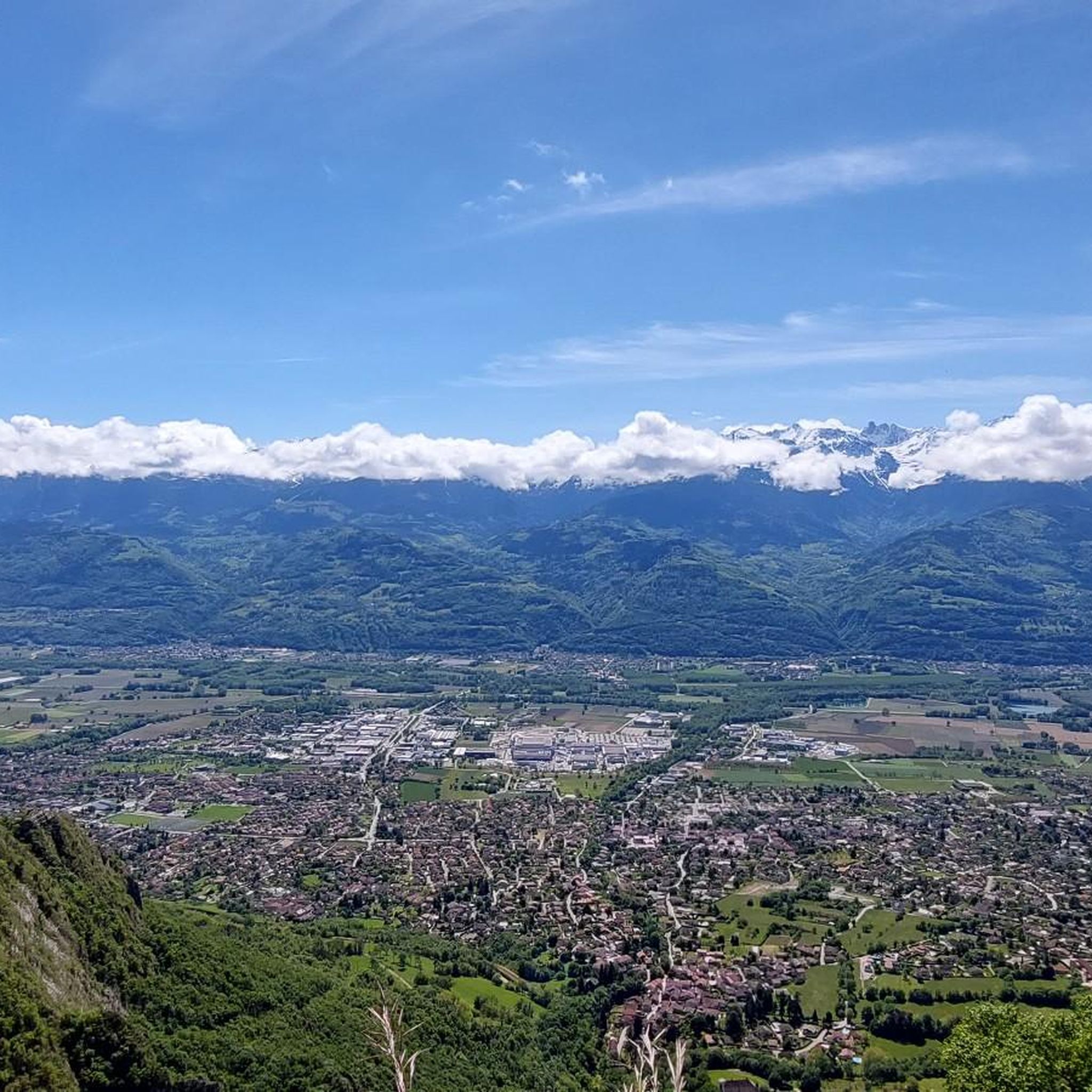

Tips from the Community

The Dent de Crolles, at 2,062 meters, is one of the best-known peaks in the Chartreuse. This distinctive limestone mountain towers high above the surrounding area and offers, on a clear day, a magnificent view over the Alps and the Grenoble valley. The hike there leads through varied mountain meadows, rocky terrain, and impressive limestone landscapes. A strenuous climb, but the views and the special atmosphere of the Chartreuse make it absolutely worthwhile.
0
0

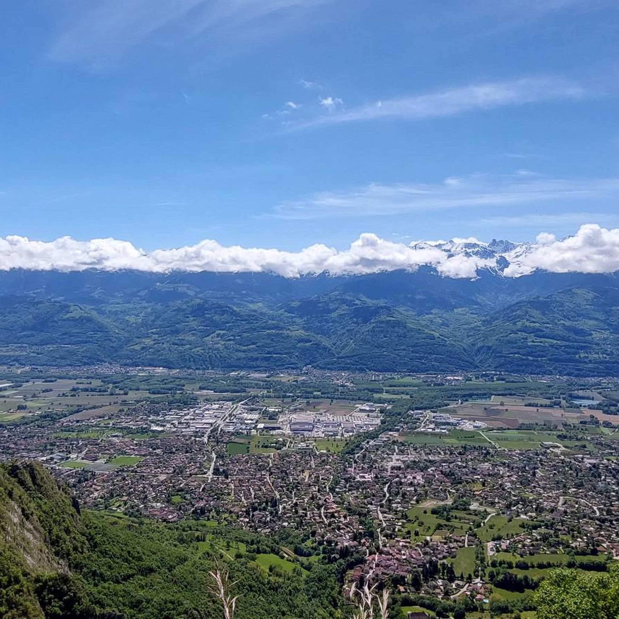
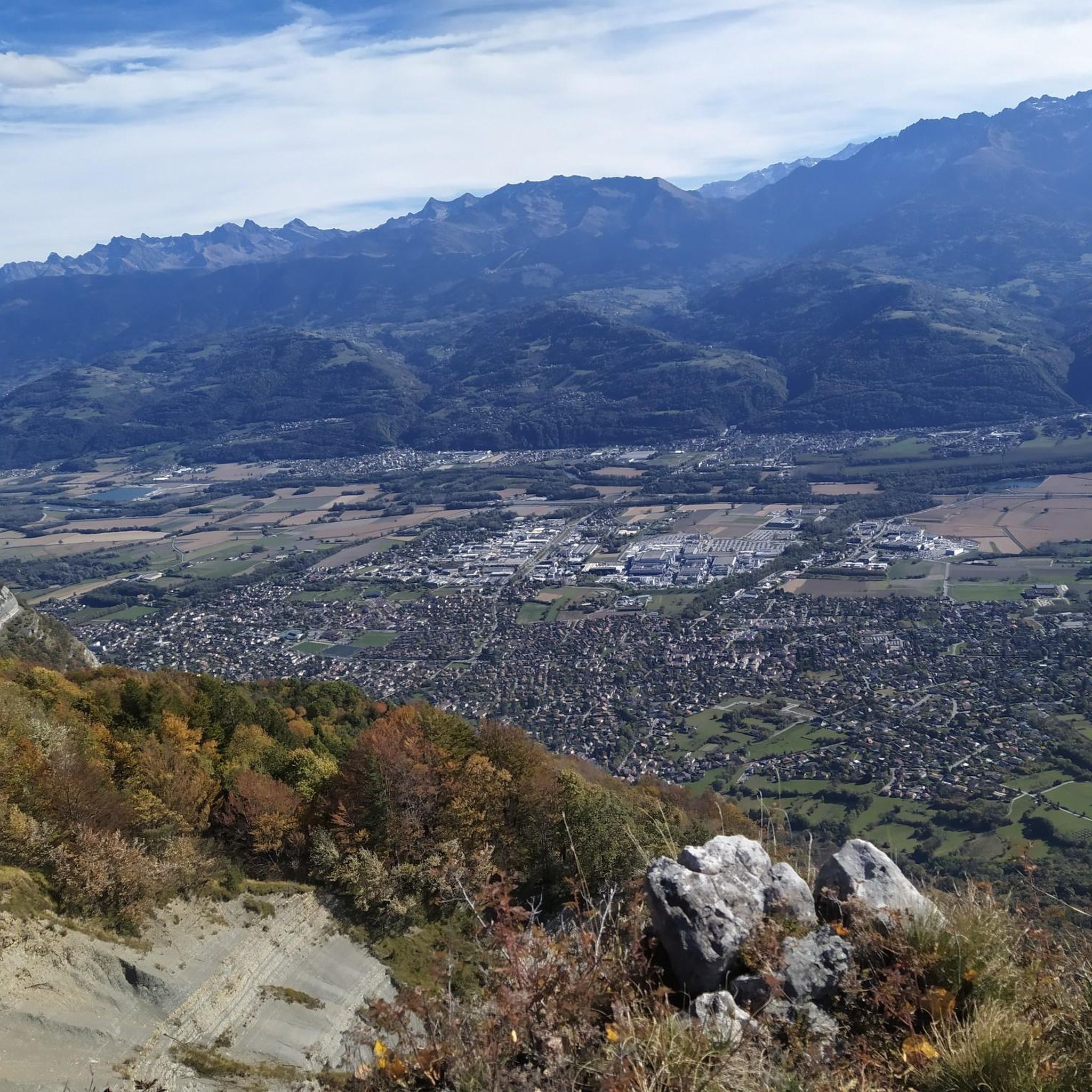
Great trail, not too technical, and magnificent views of the valley.
0
0

Beautiful rock formation. Here is one of the steepest sections
0
0
There's still a lot to do if you want to climb the Dent de Crolles :)
0
0
A stunning summit with views of Mont Blanc. The two climbs from the Col des Ayes are relatively steep, but steel cables are installed at the more dangerous sections. The climb north via the Trou du Glaz is a bit longer and a bit easier. The climb east is a bit steeper and more exposed. The view is good, though.
1
0


Warning! the dogs are poorly trained, so stay calm and wait for the sheep to reorganize.
2
0
Frequently Asked Questions
How many hiking trails are available around Bernin?
There are 11 hiking trails around Bernin, offering a variety of experiences. These include 7 moderate routes and 4 more challenging paths.
What kind of terrain can I expect on hikes around Bernin?
Hikes around Bernin primarily feature forested paths and trails with varying elevation changes, as the region is close to the Chartreuse Massif. You'll find routes that ascend into the hills, offering views of surrounding peaks and natural features like the Craponoz Waterfall.
Are there any waterfalls to see on hikes in Bernin?
Yes, the Craponoz Waterfall is a prominent natural feature and a focal point for several trails in the Bernin area. Routes like the Craponoz Waterfall – Saint-Pancrasse loop from Bernin and the Craponoz Waterfall – Luiset site loop from Bernin pass directly by it.
What do other hikers enjoy most about hiking in Bernin?
The hiking routes in Bernin are highly rated by the komoot community, with an average score of 4.5 stars from over 2,200 reviews. Hikers often praise the varied terrain, the presence of the Craponoz Waterfall, and the views towards the Chartreuse Massif.
Are there challenging hikes available around Bernin?
Yes, for those seeking a challenge, there are 4 difficult routes around Bernin. One notable option is the Craponoz Waterfall – View of the Dent de Crolles loop from Bernin, a 9.5-mile path that includes substantial climbing and offers expansive views.
Are there any circular hiking routes in Bernin?
Many of the popular trails around Bernin are circular, allowing you to start and end at the same point. Examples include the Craponoz Waterfall – Saint-Pancrasse loop from Bernin and the Craponoz Waterfall loop from Bernin.
Are there places to stay overnight or find shelter near the trails?
Yes, the Bernin area has several huts and refuges that can provide shelter or overnight stays. Notable options include Les Seiglières, the Habert of Chamechaude, and the Manival Forest Refuge.
What are the notable viewpoints or natural features in the Bernin area?
Beyond the Craponoz Waterfall, hikers can enjoy views towards the Dent de Crolles, especially on routes like the Craponoz Waterfall – View of the Dent de Crolles loop from Bernin. The Chartreuse Massif provides a scenic backdrop for many trails.
Are there any shorter or moderate hikes suitable for a quicker outing?
Yes, there are several moderate options for shorter outings. The Craponoz Waterfall – Luiset site loop from Bernin is a 3.6-mile trail that can be completed in under 3 hours, leading through forested areas. Another is the Craponoz Waterfall loop from Bernin, which is 2.7 miles long.
What is the longest hiking trail available in Bernin?
The longest hiking trail listed is the Craponoz Waterfall – View of the Dent de Crolles loop from Bernin, which spans 9.5 miles (15.2 km) and involves significant elevation gain, making it a difficult route.
Can I find trails that lead through forested areas in Bernin?
Yes, many of the trails around Bernin lead through forested areas. For example, the Craponoz Waterfall – Luiset site loop from Bernin takes you through scenic woodlands.
Most popular routes around Bernin
Most popular attractions around Bernin

Get inspired with the komoot mobile app


Explore more
Browse the best Hikes in other regions.
