The best running trails around Les Éparres
4.4
(209)
5,307
runners
514
runs
Jogging around Les Éparres offers varied terrain through its rural landscape, characterized by rolling hills, agricultural lands, and expansive forests. The region's elevation, ranging from 319 to 501 meters, provides diverse routes with gentle slopes and more challenging inclines. Natural features like the Agny stream and the tranquil Batou pond can be incorporated into running loops, enhancing the scenic experience. This area is well-equipped with marked trails suitable for different fitness levels.
Best jogging routes around Les Éparres
- The most…
Last updated: October 18, 2026
9
runners
10.2km
01:10
180m
180m
Moderate run. Good fitness required. Mostly paved surfaces. Suitable for all skill levels.
8
runners
10.3km
01:11
180m
180m
Moderate run. Good fitness required. Mostly paved surfaces. Suitable for all skill levels.

7
runners
9.19km
00:59
90m
90m
Moderate run. Good fitness required. Mostly paved surfaces. Suitable for all skill levels.
7
runners
14.1km
01:31
160m
160m
Moderate run. Good fitness required. Mostly paved surfaces. Suitable for all skill levels.
5.0
(1)
7
runners
9.74km
01:08
200m
200m
Moderate run. Good fitness required. Mostly paved surfaces. Suitable for all skill levels.
Get access to more routes and recommendations from other explorers.
Already have an account?
Our route recommendations are based on thousands of hikes, rides, and runs completed by other people on komoot.
Start today with a free account
Your next adventure awaits.
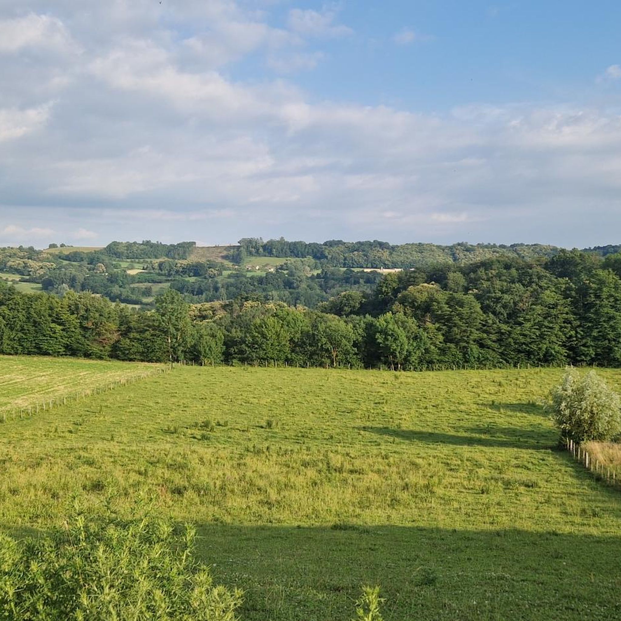
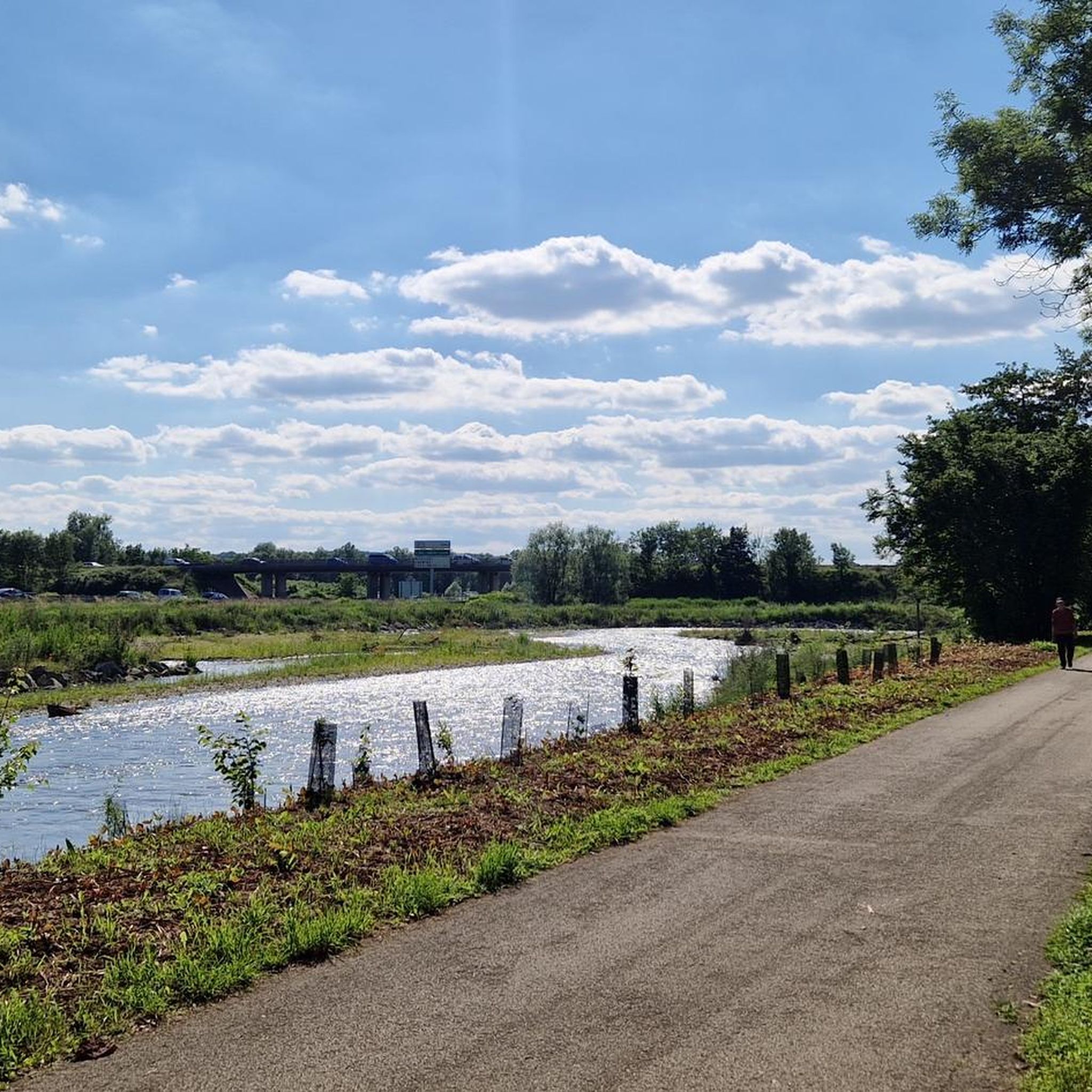
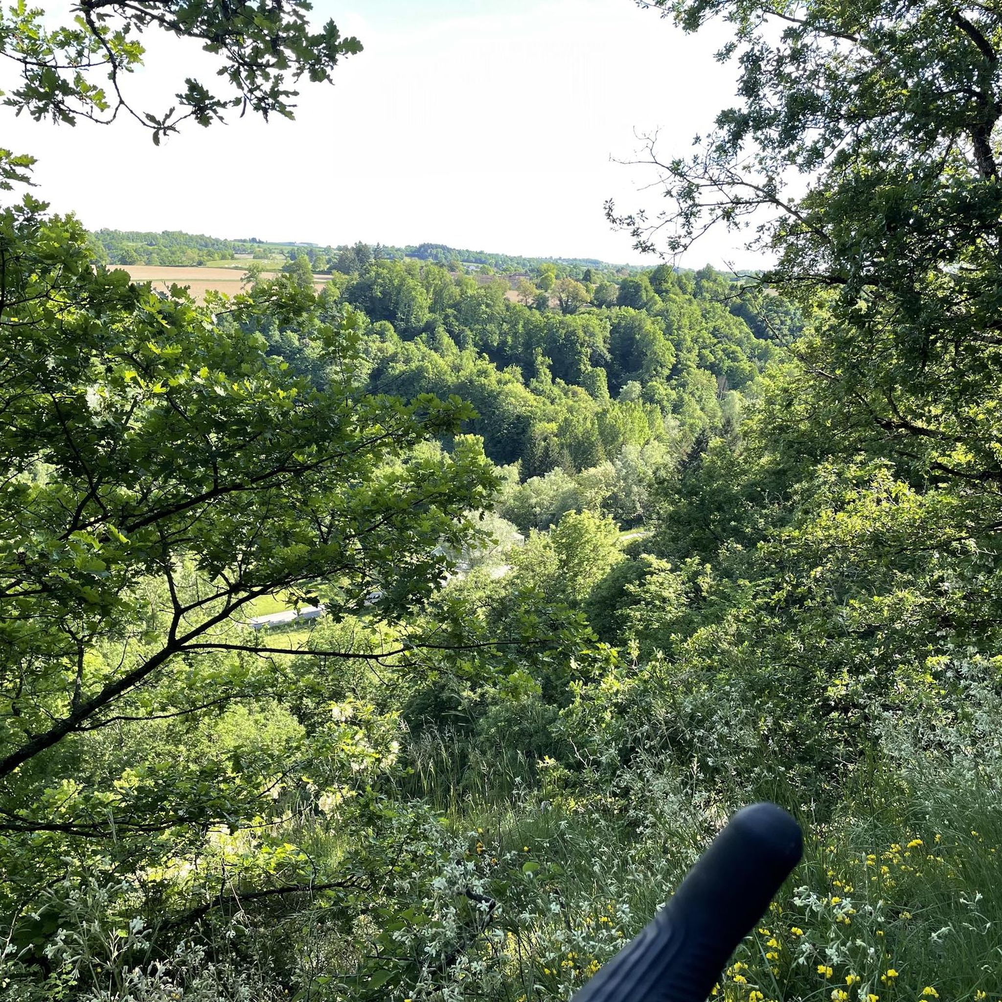
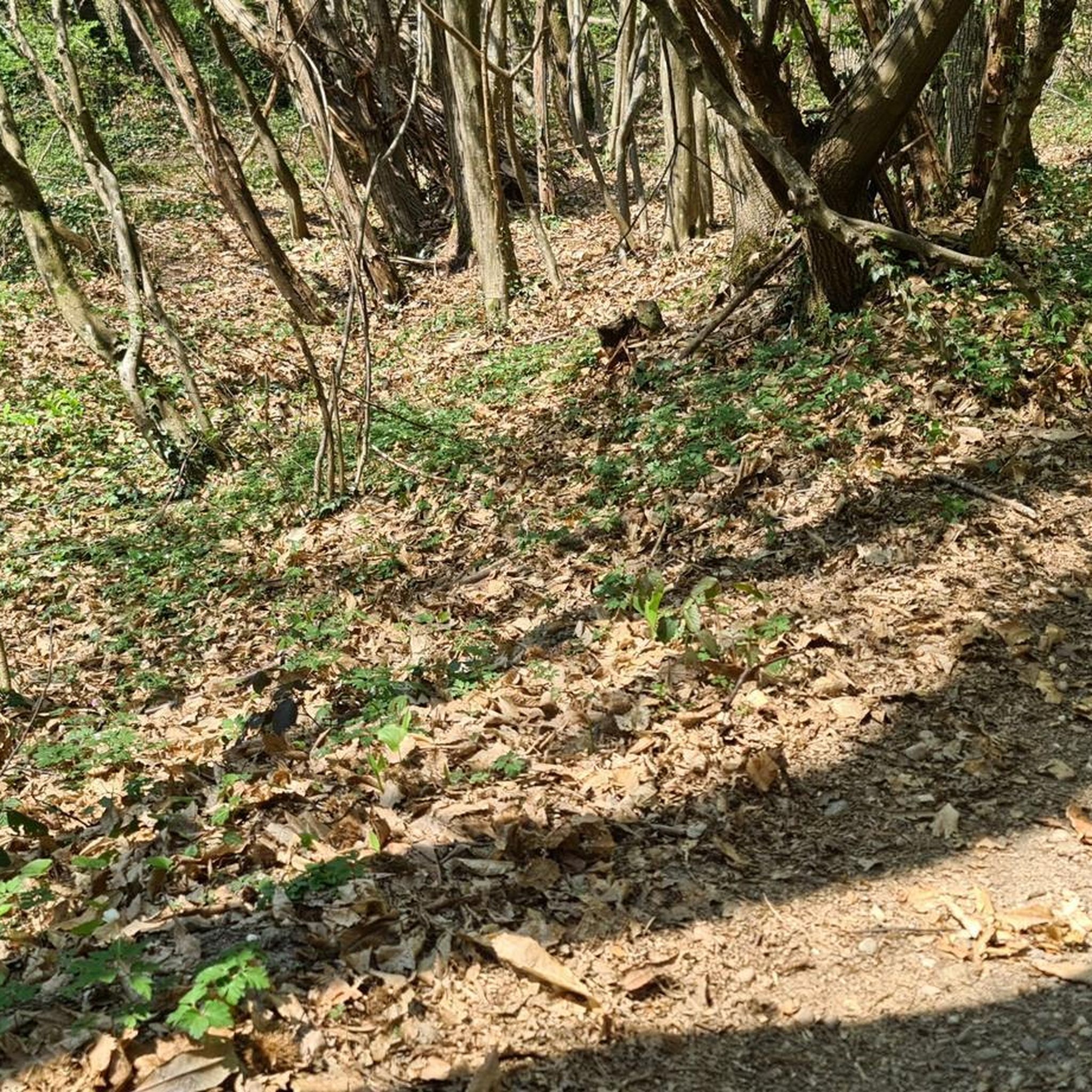

Tips from the Community

The existence of the church is formally attested from 1113 in the cartulary of the temple of Vaulx. It initially served as a parish church. Labelled «Patrimoine en Isère», it is today a major venue for artistic and cultural exhibitions managed by a local association.
0
0

A pretty chapel, with a water point. A deceased woman, born in 1795, is buried there
0
0
Frequently Asked Questions
How many running routes are available in Les Éparres?
There are over 490 running routes around Les Éparres, offering a wide variety of options for different skill levels and preferences. This includes 42 easy routes, 376 moderate routes, and 77 difficult routes.
Are there any easy or beginner-friendly jogging routes in Les Éparres?
Yes, Les Éparres offers 42 easy running routes suitable for beginners or those looking for a less strenuous run. These routes typically feature gentler terrain and fewer elevation changes, allowing for a comfortable experience.
What kind of terrain can I expect on the jogging trails around Les Éparres?
The jogging trails in Les Éparres traverse a rural landscape characterized by gentle hills and varied terrain. You'll find paths through open fields, wooded areas, and routes connecting small villages. Many routes include elevation changes, providing a good workout.
Are there any circular running routes in Les Éparres?
Many of the running routes in Les Éparres are circular, allowing you to start and finish at the same point. For example, the Étang loop from Meyrié is a popular circular trail that takes you around a local pond.
What are some scenic running routes with good viewpoints in Les Éparres?
For scenic views, consider routes that pass through higher elevations or open areas. The region's gentle hills often provide expansive vistas of the surrounding countryside. You might also enjoy routes near the Orientation table at the summit of Chèzeneuve for panoramic views.
What do other runners say about the trails in Les Éparres?
The running routes in Les Éparres are highly rated by the komoot community, with an average score of 4.5 stars from over 150 reviews. Runners often praise the varied terrain, the peaceful rural atmosphere, and the well-maintained paths. Over 4,000 runners have used komoot to explore the area.
Are there any interesting landmarks or attractions along the running routes?
Yes, several routes pass by points of interest. You can find trails near the serene Étang de la Rosière, or historical sites like the Chapelle Sainte-Anne and Saint Joseph Chapel. Some routes, like the Château de Montcizet loop from Nivolas-Vermelle, offer glimpses of historical architecture.
What is a good running route for a longer distance in Les Éparres?
If you're looking for a longer run, the Single downhill and uphill – Enter loop from Tramolé is a challenging option at 14.3 km (8.9 miles) with significant elevation changes, taking approximately 1 hour 41 minutes to complete.
Are there any running routes that are particularly challenging in Les Éparres?
Yes, for those seeking a challenge, there are 77 difficult running routes in the area. These routes typically feature steeper climbs and descents, covering longer distances. The Single downhill and uphill – Enter loop from Tramolé is one such difficult route with over 320 meters of elevation gain.
Can I find running routes that are suitable for families in Les Éparres?
While specific 'family-friendly' designations aren't always available, the 42 easy routes in Les Éparres are generally suitable for families with children who are comfortable with light activity. Look for routes with minimal elevation and shorter distances for a pleasant family outing.
What is the typical duration for a running trail in Les Éparres?
The duration of running trails in Les Éparres varies greatly depending on the route's length and difficulty. For example, a moderate route like the Running loop from Nivolas-Vermelle, which is 10.3 km (6.4 miles), typically takes around 1 hour 10 minutes to complete.
Are there any running routes that connect to greenways or dedicated paths?
Yes, some routes in the region may connect to or incorporate parts of dedicated paths. For instance, the Bourbre Greenway is a nearby cycle path that could potentially be integrated into longer running routes or used for a flat, easy run.
Most popular routes around Les Éparres
Most popular attractions around Les Éparres

Get inspired with the komoot mobile app


Explore more
Browse the best Running Trails & Routes in other regions.
