The best walks and hikes around Les Éparres
4.5
(197)
1,518
hikers
220
hikes
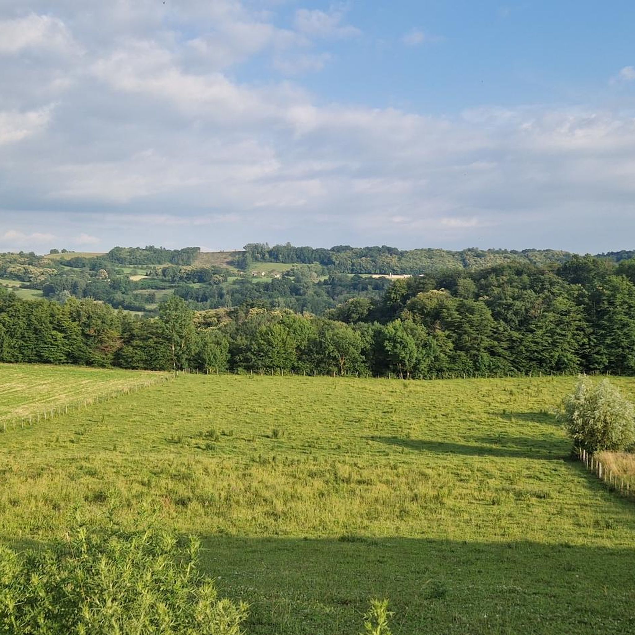
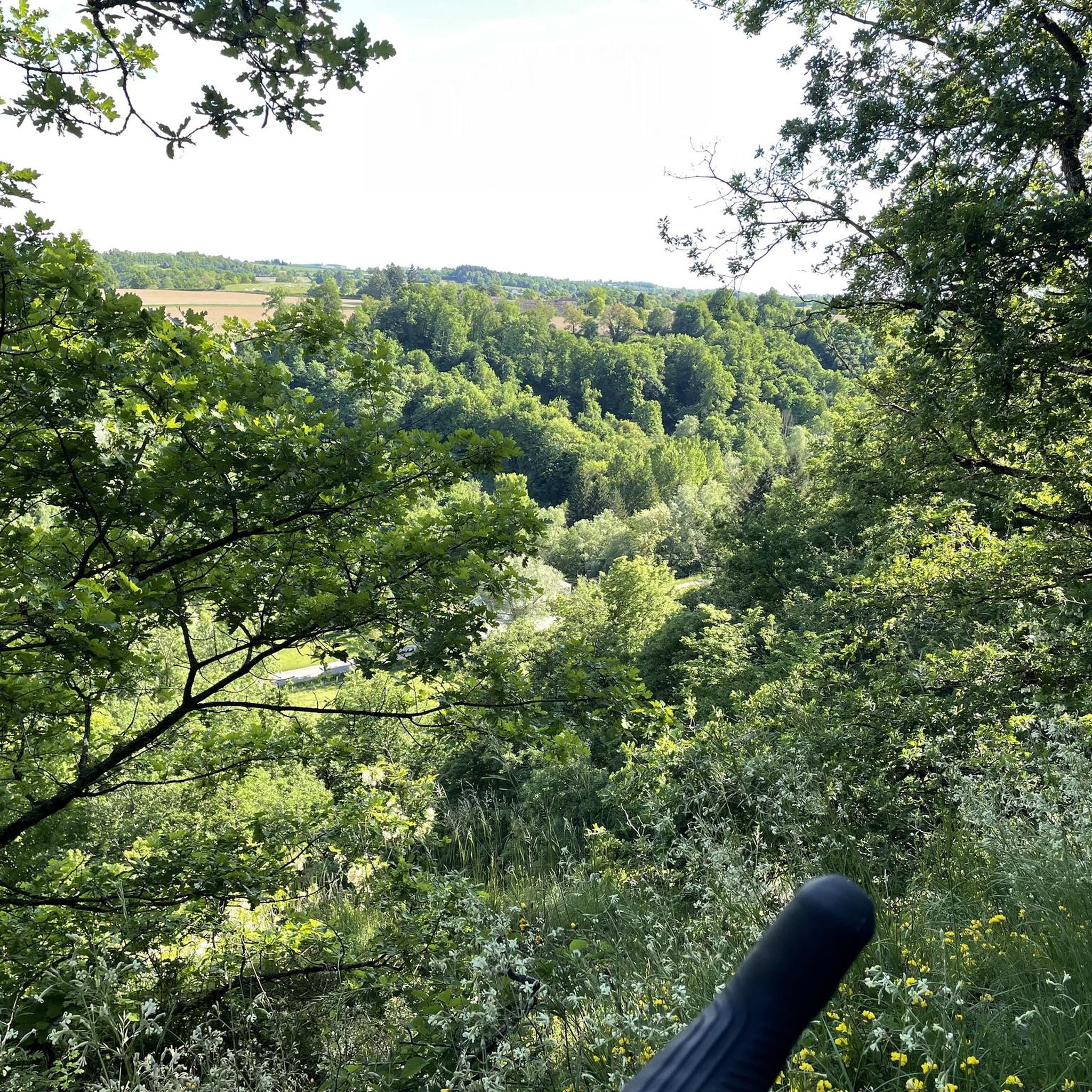
Hiking around Les Éparres offers diverse landscapes, including rolling hills, agricultural lands, and expansive forests. The region is characterized by varied terrain, providing panoramic views of the Dauphinoise Alps. Natural features like the Agny stream and the tranquil Batou pond are present along many routes. The "bocage of Éclose" also contributes to the distinctive natural environment.
Best hiking trails around Les Éparres
- The most popular hiking route is Beautiful discovery loop from Culin, a 7.0 miles (11.2 km) trail…
Last updated: July 1, 2026
4.0
(2)
23
hikers
15.4km
04:23
340m
340m
Moderate hike. Good fitness required. Mostly accessible paths. Sure-footedness required.
22
hikers
9.73km
02:43
190m
190m
Moderate hike. Good fitness required. Easily-accessible paths. Suitable for all skill levels.

Sign up for free
5.0
(2)
6
hikers
7.31km
01:58
90m
90m
Easy hike. Great for any fitness level. Easily-accessible paths. Suitable for all skill levels.
7
hikers
8.26km
02:17
150m
150m
Moderate hike. Good fitness required. Easily-accessible paths. Suitable for all skill levels.
5.0
(1)
7
hikers
7.92km
02:09
110m
110m
Moderate hike. Good fitness required. Easily-accessible paths. Suitable for all skill levels.
Get access to more routes and recommendations from other explorers.
Sign up for free
Already have an account?
Our route recommendations are based on thousands of hikes, rides, and runs completed by other people on komoot.
Start today with a free account
Your next adventure awaits.
Login or Signup


Tips from the Community

It's a very bucolic hike without major difficulty, very pleasant at this time of year, it will be done without any difficulty with children and your four-legged friends🤗
0
0
Frequently Asked Questions
How many hiking trails are available in Les Éparres?
Les Éparres offers a wide selection of hiking opportunities, with over 190 trails documented on komoot. These routes cater to various skill levels, from easy walks to more challenging excursions.
Are there easy hikes suitable for beginners or families in Les Éparres?
Yes, Les Éparres is well-suited for beginners and families, with 72 easy routes available. These paths often traverse accessible terrain like agricultural lands and rolling hills, providing a pleasant outdoor experience without requiring extensive fitness. Many routes are designed to be enjoyed by all fitness levels.
What kind of landscapes can I expect to see while hiking in Les Éparres?
Hikers in Les Éparres can expect diverse and picturesque landscapes. The region features rolling hills, expansive forests, and agricultural lands. You'll encounter natural elements like the tranquil Batou pond and the historic Agny stream. On clear days, many trails offer stunning panoramic views of the Dauphinoise Alps, with glimpses of Mont Blanc.
Are there any circular hiking routes in Les Éparres?
Yes, many of the hiking routes in Les Éparres are circular, allowing you to start and end at the same point. An example is the View of the Countryside loop from Maubec, which is a moderate 8.3 km trail through agricultural lands and forests.
What are some interesting natural features or landmarks to look out for on the trails?
Beyond the scenic landscapes, you can discover several points of interest. Natural features include the Agny stream and the tranquil Batou pond. For historical and cultural sights, look for structures like the Château de Quinsonnas, the Demeure de Fichaillon, and the Church of Vermelle. You might also encounter the Étang de la Rosière or the Orientation table at the summit of Chèzeneuve, offering great views.
Are there any longer, more challenging hikes for experienced hikers?
While most trails are moderate, Les Éparres does offer a few more challenging options for experienced hikers. These routes, though fewer in number (3 difficult routes), often involve greater elevation changes and longer distances, providing a more strenuous workout and requiring good fitness and sure-footedness. An example is the Loop near the Glam Club loop from Nivolas-Vermelle, which covers over 15 km.
What do other hikers enjoy the most about hiking in Les Éparres?
The hiking experience in Les Éparres is highly regarded by the komoot community, with an average rating of 4.4 stars from over 200 reviews. Hikers frequently praise the diverse landscapes, including rolling hills and expansive forests, and the panoramic views of the Dauphinoise Alps. The variety of trails catering to different skill levels is also a common highlight.
Is it possible to hike in Les Éparres during winter?
While the region offers beautiful scenery year-round, winter hiking in Les Éparres can present different conditions. Trails may be covered in snow or ice, especially at higher elevations or in shaded forest areas. It's advisable to check local weather conditions and trail reports, and to be prepared with appropriate winter gear, including warm clothing and suitable footwear.
Are there any specific trails that offer panoramic views?
Yes, many trails in Les Éparres are known for their panoramic views. The Viewpoint Bench loop from Maubec is a popular choice, specifically designed to showcase expansive vistas, including glimpses of the Dauphinoise Alps. Other routes through the rolling hills also frequently provide stunning outlooks.
What kind of natural features define the region of Les Éparres?
The region of Les Éparres is characterized by its varied natural features. You'll find the distinctive 'bocage of Éclose,' a landscape of woodlands and pastures. The Agny stream, historically a border, and the tranquil Batou pond are also notable natural elements that add to the area's charm and are often encountered along hiking routes.
Are there any trails that pass by historical sites or cultural attractions?
Yes, many hiking routes in Les Éparres incorporate historical and cultural points of interest. You might find yourself passing by the impressive Château de Quinsonnas, the elegant Demeure de Fichaillon, or the historic Church of Vermelle. Smaller chapels and the Gouille pond and hut also add cultural richness to the trails.
What is the typical duration for a hike in Les Éparres?
Hiking durations in Les Éparres vary significantly depending on the route's length and difficulty. For example, the Beautiful discovery loop from Culin, a moderate 11.2 km trail, typically takes around 3 hours. Shorter, easier paths can be completed in an hour or two, while longer, more challenging routes might take half a day or more.
Most popular routes around Les Éparres
Most popular attractions around Les Éparres

Get inspired with the komoot mobile app


Explore more
Browse the best Hikes in other regions.
