The best running trails around Proveysieux
4.3
(937)
48,106
runners
509
runs
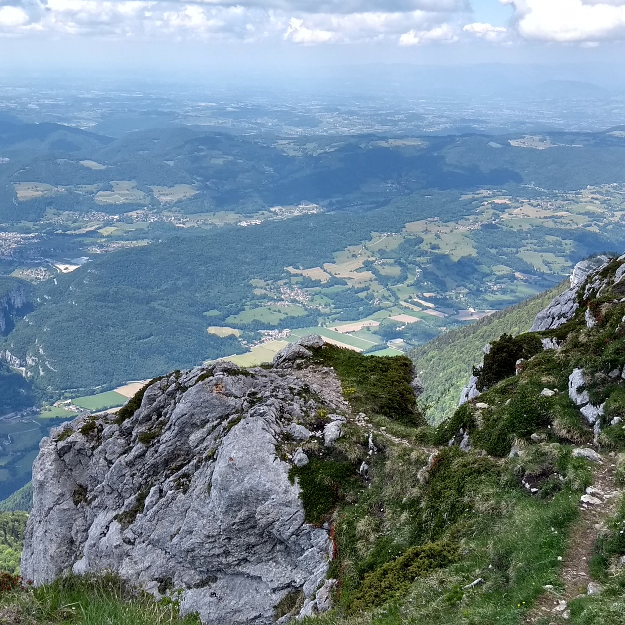
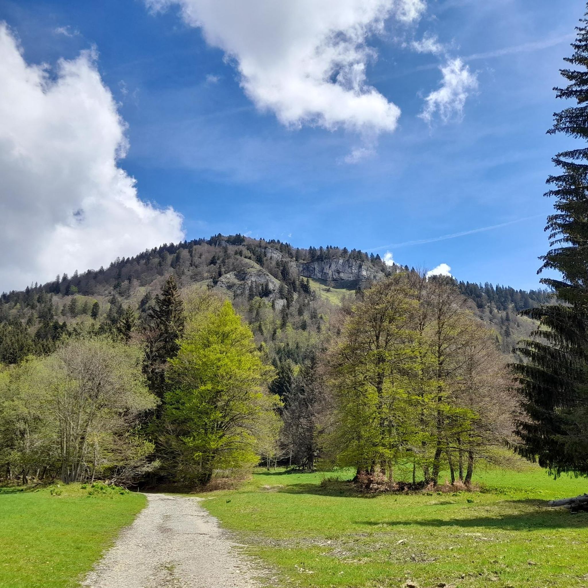
Jogging around Proveysieux offers access to a diverse landscape within the Chartreuse Regional Natural Park. The region is characterized by limestone cliffs, expansive forests covering over 75% of its communal territory, and alpine meadows. Routes provide panoramic views of surrounding massifs, including Vercors and Belledonne. This varied terrain makes Proveysieux suitable for a range of running experiences, from gentle paths to challenging ascents.
Best jogging routes around Proveysieux
- The most popular jogging route is Vallon d'Hurtières, a 7.9 miles…
Last updated: October 14, 2026
48
runners
12.6km
02:04
590m
590m
Hard run. Very good fitness required. Sure-footedness, sturdy shoes and alpine experience required.
17
runners
29.7km
05:25
1,670m
1,660m
Hard run. Very good fitness required. Sure-footedness, sturdy shoes and alpine experience required.

9
runners
2.51km
00:29
160m
160m
This difficult 1.6-mile (2.5 km) jogging loop to the Charmant Som summit offers panoramic views in Chartreuse Regional Natural Park.
4.7
(3)
105
runners
11.8km
01:17
130m
130m
Moderate run. Good fitness required. Mostly paved surfaces. Suitable for all skill levels.
34
runners
6.66km
01:09
370m
370m
Hard run. Very good fitness required. Sure-footedness, sturdy shoes and alpine experience required.
Get access to more routes and recommendations from other explorers.
Already have an account?
Our route recommendations are based on thousands of hikes, rides, and runs completed by other people on komoot.
Start today with a free account
Your next adventure awaits.
Popular around Proveysieux
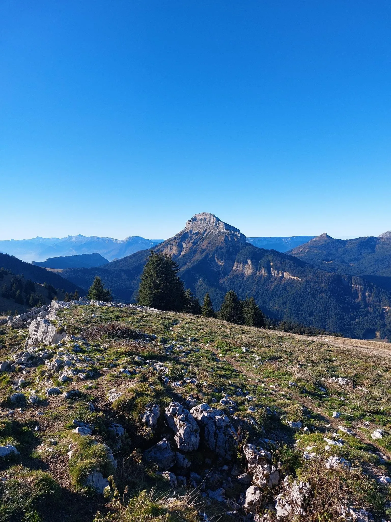
Summits, plateaus and panoramas — 20 trail outings in Chartreuse
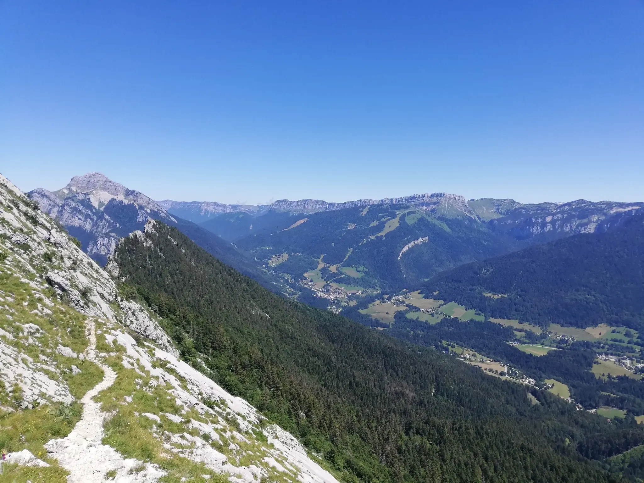
At the gates of Chartreuse in France – Grenoble to Voiron
Road Cycling Routes around Proveysieux
Cycling around Proveysieux
Hiking around Proveysieux
MTB Trails around Proveysieux

Gravel biking around Proveysieux

Mountain Hikes around Proveysieux


Tips from the Community

Exceptional panoramic view of the Chartreuse, Voiron and Mont Blanc.
0
0

The approach from the south is very nice, the descent to the north via the forest road is not allowed, but with great caution and pushing in tunnels possible
0
0

Very beautiful summit with a 360 degree panorama.
0
0

Work is underway on the bridge. Car traffic is prohibited until September 22, 2025. Bicycles may pass 😁
0
0


Footbridge and cycle path, very practical connection between the peninsula and the right bank of the Isère.
0
0

Easy and very pretty, a 360° as we like them in Chartreuse
0
0
Frequently Asked Questions
How many running routes are available in Proveysieux?
Proveysieux, situated within the Chartreuse Regional Natural Park, offers a vast network of trails. There are nearly 500 running routes available, catering to various fitness levels, from easy paths to challenging ascents.
Are there easy jogging routes for beginners in Proveysieux?
Yes, Proveysieux has several easy jogging routes suitable for beginners. For instance, the Lac de Fiancey loop from Saint-Égrève is a relatively flat 4.9 km (3.0 miles) trail that takes about 31 minutes to complete, offering a gentle introduction to running in the area.
What kind of terrain can I expect on the running trails around Proveysieux?
The terrain around Proveysieux is incredibly diverse, characterized by dramatic limestone cliffs, expansive forests covering over 75% of the communal territory, and alpine meadows. You'll find everything from dirt tracks and forest paths to more challenging ascents with significant elevation gain, offering panoramic views of massifs like Vercors and Belledonne.
Are there any circular running routes in Proveysieux?
Yes, many of the running routes in Proveysieux are circular, allowing you to start and finish at the same point. An example is the Charmant Som Loop, which offers a challenging yet rewarding experience with stunning views.
What do other runners enjoy most about jogging in Proveysieux?
The running routes in Proveysieux are highly rated by the komoot community, with an average score of 4.3 stars from over 670 reviews. Runners often praise the diverse landscapes, the breathtaking panoramic views of the surrounding massifs, and the well-maintained trails that cater to various difficulty levels.
Are there any notable viewpoints or natural features to see along the running routes?
Absolutely! Proveysieux is rich in natural beauty. Many routes offer stunning views of the Chartreuse mountains. You can find highlights such as the La Molière Alpine Pasture and Panoramic View, or even reach summits like Charmant Som summit, providing superb vistas of the region.
Can I find challenging trail running routes in Proveysieux?
For experienced trail runners seeking a challenge, Proveysieux offers numerous difficult routes. The The peaks of the west is a demanding 29.7 km (18.4 miles) path with significant elevation gain, providing extensive mountain views and a rigorous workout.
Are there any routes that pass by historical or cultural landmarks?
While many routes focus on natural landscapes, some trails incorporate points of interest. The historical 'Path of the Painters' (Sentier des Peintres) is a short, scenic loop that winds through rural surroundings and includes views of Mont Néron, as well as ruins of an old mill, reflecting the area's past.
What are the best routes for running through dense forests?
Proveysieux is ideal for forest running, as forests constitute over 75% of its communal territory. The Vallon d'Hurtières route is a popular choice, winding through a forested valley and offering ample shade, perfect for a refreshing run.
Are there any mountain passes accessible via running trails near Proveysieux?
Yes, the region around Proveysieux features several mountain passes that can be incorporated into longer trail runs. Notable passes include Col de Porte, Col du Cucheron, and Col du Coq, offering challenging ascents and rewarding views.
Are there any running routes that start from Saint-Égrève?
Yes, some running routes are easily accessible from nearby towns like Saint-Égrève. For example, the Narbonne Castle – Path to Col de Clémencière loop from Saint-Égrève is a challenging 13 km (8.1 miles) route that offers a great running experience starting from there.
Most popular routes around Proveysieux
Most popular attractions around Proveysieux

Get inspired with the komoot mobile app


Explore more
Browse the best Running Trails & Routes in other regions.
