The best walks and hikes around Proveysieux
4.5
(255)
2,693
hikers
28
hikes
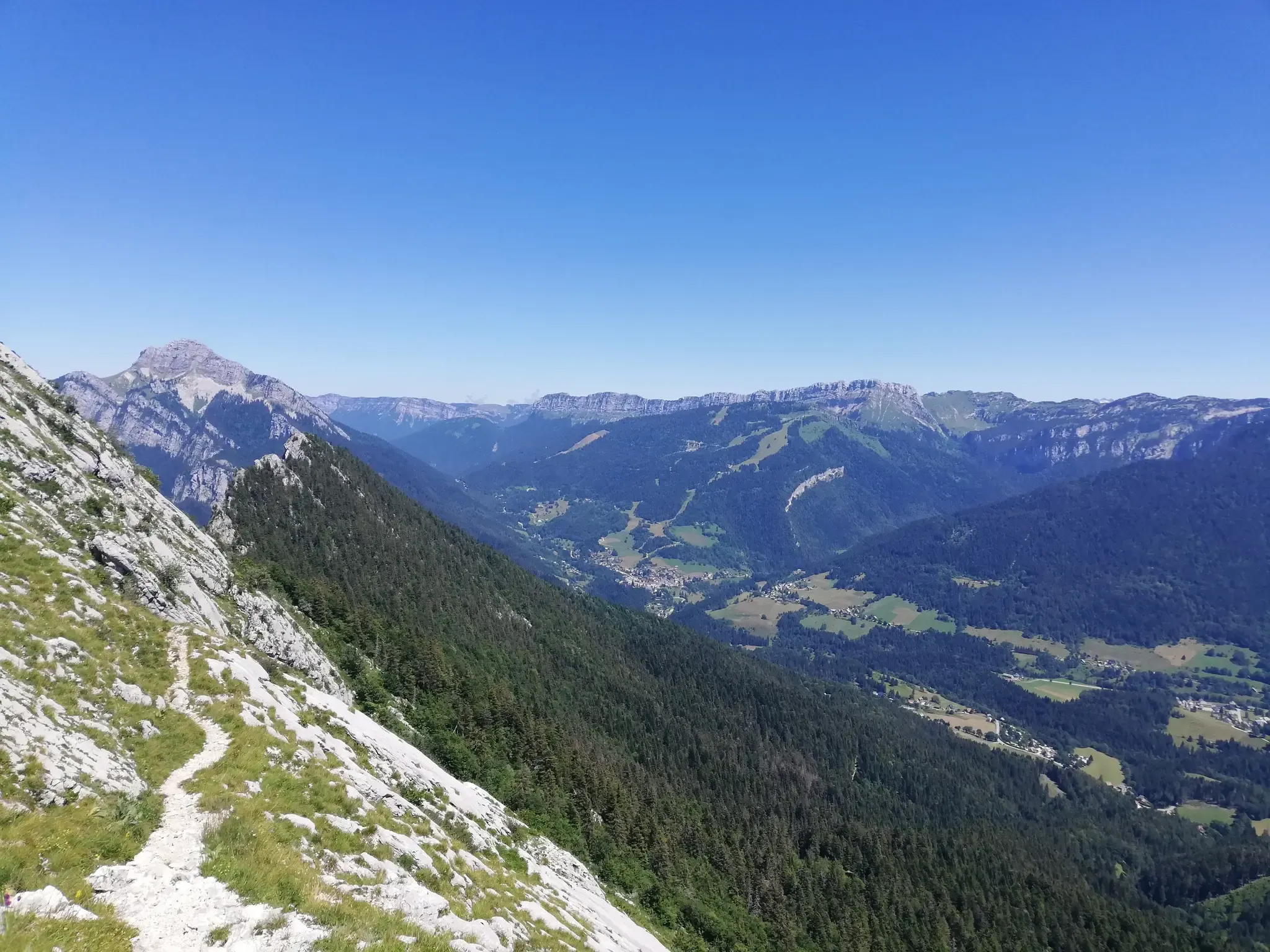
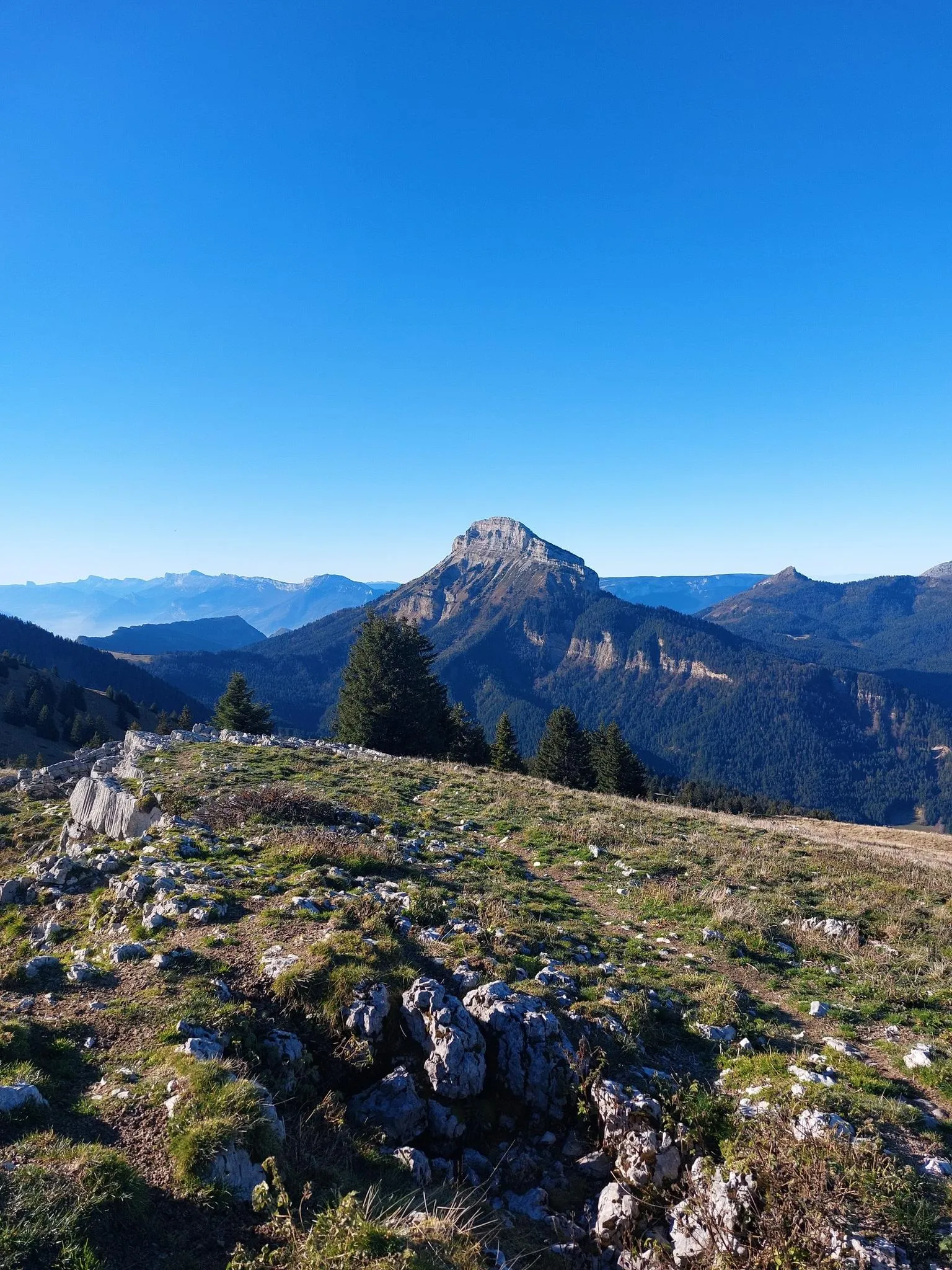
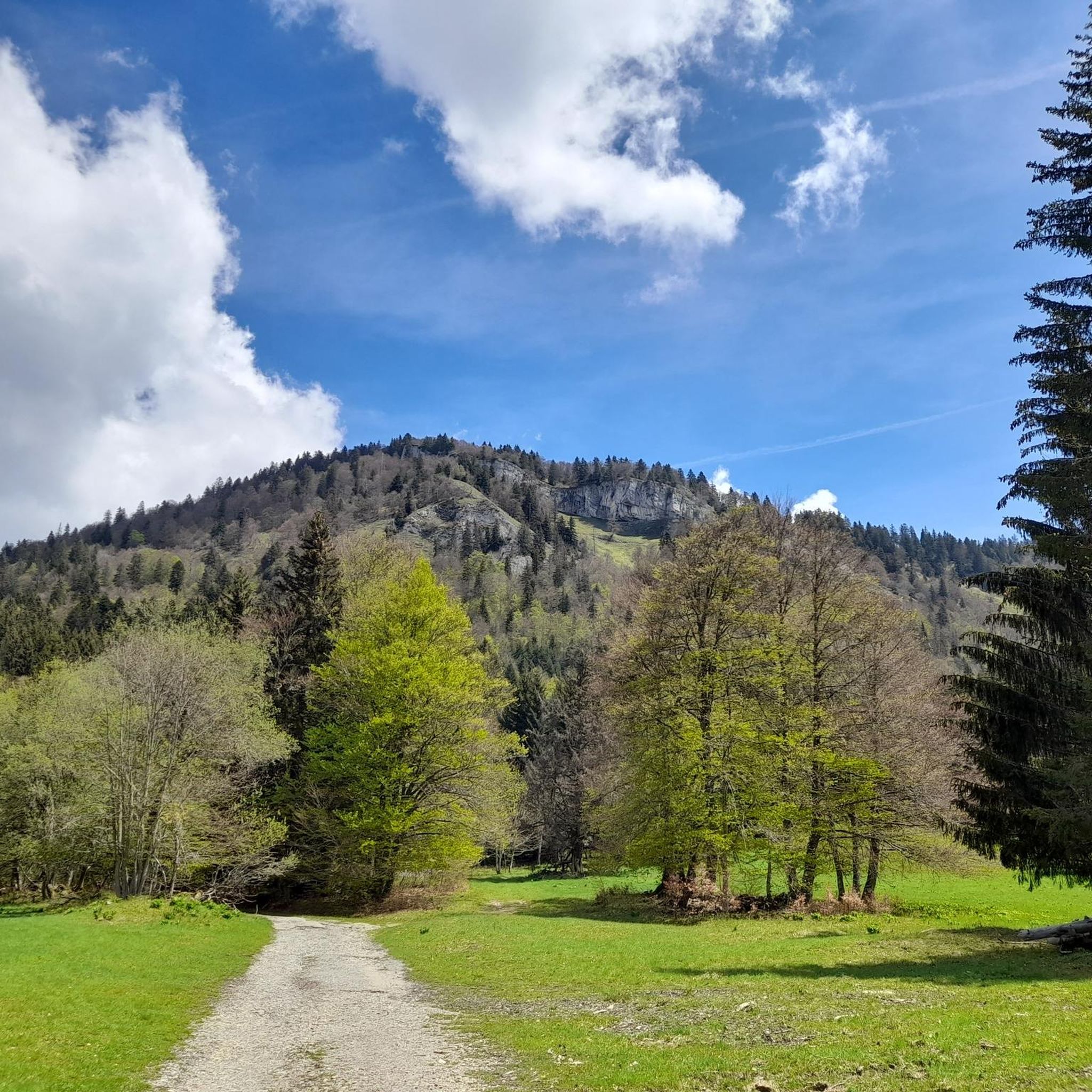
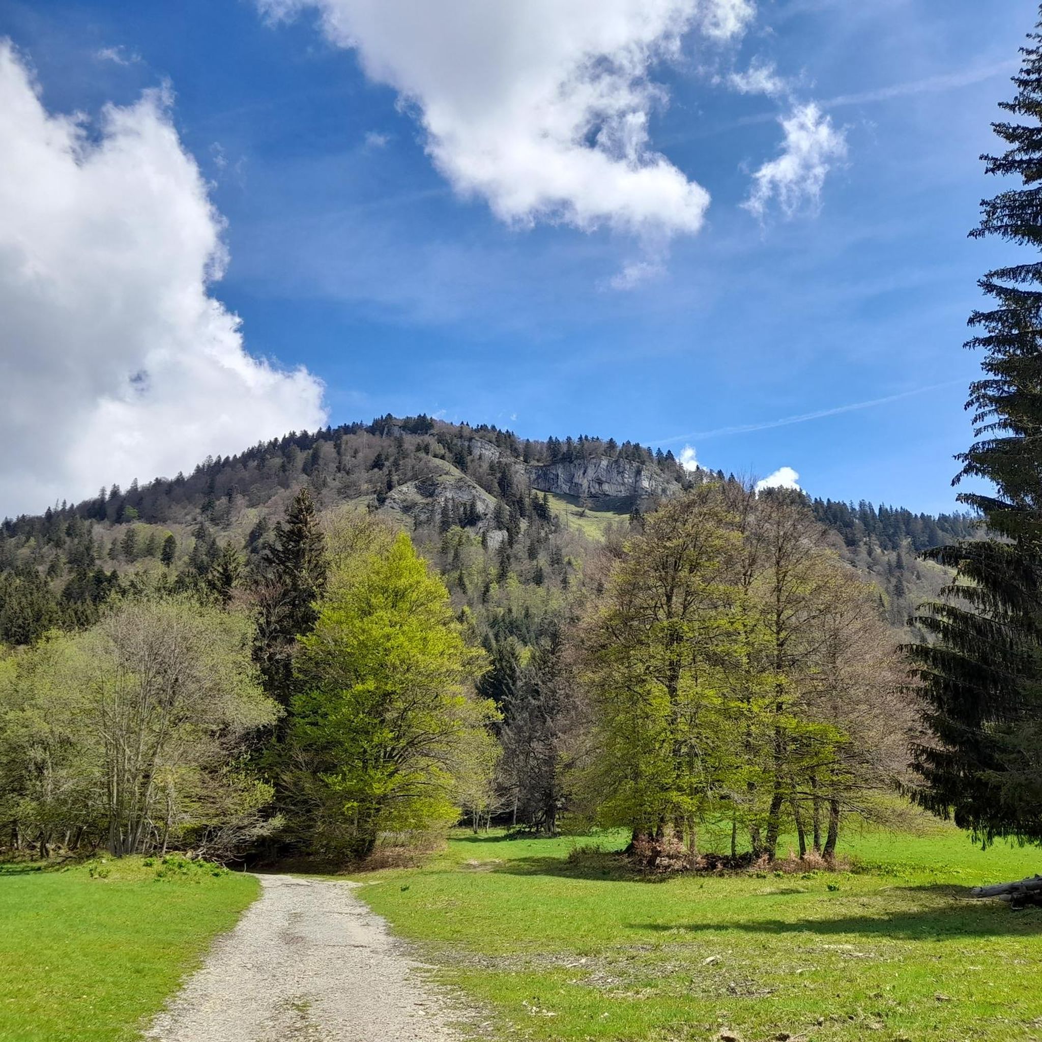
Hiking around Proveysieux offers diverse landscapes within the Chartreuse Regional Natural Park, characterized by majestic peaks, forested slopes, and alpine pastures. The region features prominent ridges and summits like Grande Sure and Charmant Som, providing extensive views of surrounding massifs. Dense forests and natural waterways are also integral to the terrain, with trails often incorporating these elements. This area provides a varied network of hiking trails suitable for different experience levels.
Best hiking trails around Proveysieux
- The most popular hiking…
Last updated: October 10, 2026
4.6
(17)
224
hikers
9.51km
03:56
620m
620m
Moderate hike. Good fitness required. Mostly accessible paths. Sure-footedness required.
4.7
(15)
176
hikers
10.4km
04:23
640m
640m
Moderate hike. Good fitness required. Mostly accessible paths. Sure-footedness required.

4.5
(17)
158
hikers
10.9km
04:53
740m
740m
Hard hike. Good fitness required. Sure-footedness, sturdy shoes and alpine experience required.
5.0
(2)
35
hikers
18.3km
06:55
900m
900m
Hard hike. Very good fitness required. Sure-footedness, sturdy shoes and alpine experience required.
4.3
(3)
36
hikers
9.80km
03:54
560m
560m
Hard hike. Good fitness required. Sure-footedness, sturdy shoes and alpine experience required.
Get access to more routes and recommendations from other explorers.
Already have an account?
Our route recommendations are based on thousands of hikes, rides, and runs completed by other people on komoot.
Start today with a free account
Your next adventure awaits.
Popular around Proveysieux
At the gates of Chartreuse in France – Grenoble to Voiron
Summits, plateaus and panoramas — 20 trail outings in Chartreuse
Road Cycling Routes around Proveysieux
Running Trails around Proveysieux
Cycling around Proveysieux
MTB Trails around Proveysieux

Gravel biking around Proveysieux

Mountain Hikes around Proveysieux


Tips from the Community

In the middle of the mountain dogs and herds in summer
0
0
Passage through the rocky bar safely. Allows access to the Grande Sure via a shaded and pleasant path from the Col de la Charmette
0
0
Exceptional panoramic view of the Chartreuse, Voiron and Mont Blanc.
0
0

When wet and slippery, quite challenging (height, error tolerance)!
0
0

The approach from the south is very nice, the descent to the north via the forest road is not allowed, but with great caution and pushing in tunnels possible
0
0

Very beautiful summit with a 360 degree panorama.
0
0

Frequently Asked Questions
What types of hiking trails can I expect around Proveysieux?
Proveysieux, nestled within the Chartreuse Regional Natural Park, offers a diverse range of hiking trails. You'll find paths winding through majestic peaks, dense forests like the Pomarey forest, and alpine pastures. The terrain varies from moderate ascents to more challenging routes, showcasing the region's rich flora and fauna.
Are there any family-friendly hiking options in Proveysieux?
While the guide primarily lists moderate to difficult routes, the Chartreuse area generally offers an extensive network of trails, some of which are suitable for families. Look for routes with less elevation gain and shorter distances. The region's diverse landscapes ensure there are options for various ability levels, including easier walks that explore the natural beauty without significant challenges.
Can I bring my dog on the hiking trails in Proveysieux?
The Chartreuse Regional Natural Park, where Proveysieux is located, generally welcomes dogs on trails, often requiring them to be kept on a leash to protect wildlife and livestock. It's always best to check specific trail regulations or local signage, especially in protected areas, but many paths are suitable for hiking with your canine companion.
Are there circular hiking routes available in the area?
Yes, Proveysieux and the surrounding Chartreuse Massif offer several excellent circular routes. For example, the La Grande Sure Loop is a popular circular trail offering exceptional alpine views. Another option is the Col de la Sure – La Grande Sure loop from Rhône-Alpes, which provides panoramic vistas across the massif.
What notable landmarks or viewpoints can I discover on hikes near Proveysieux?
The region is rich in stunning viewpoints and natural features. You can hike to summits like Charmant Som summit or Dent de Crolles for panoramic views. The La Molière Alpine Pasture and Panoramic View is another highlight. Adventurous hikers might also explore routes near the Rochers du Lorzier, which feature slightly dizzying passages through chimneys and century-old ladders, offering unique perspectives.
What is the best time of year to go hiking in Proveysieux?
The best time for hiking in Proveysieux is generally from late spring through early autumn (May to October) when the weather is mild and trails are clear of snow. During these months, you can fully enjoy the alpine pastures and mountain views. Winter hiking is possible, but some higher-altitude routes may require specialized equipment and experience due to snow and ice conditions.
Is public transport available to reach trailheads around Proveysieux?
Proveysieux is located near Grenoble, which serves as a regional transport hub. While specific public transport links directly to every trailhead might be limited, local bus services often connect villages within the Chartreuse Regional Natural Park. For detailed information on routes and schedules, it's advisable to consult local transport authorities or tourist information centers like Grenoble Tourisme.
Are there designated parking areas for hikers in Proveysieux?
Yes, many popular trailheads and access points in and around Proveysieux, especially those leading to well-known peaks or natural sites, typically have designated parking areas. These can range from small roadside pull-offs to larger car parks. It's always recommended to arrive early during peak season to secure a spot.
What do other hikers say about the trails in Proveysieux?
The hiking trails around Proveysieux are highly regarded by the komoot community, with an average rating of 4.7 stars from over 200 reviews. Hikers frequently praise the stunning panoramic views of the surrounding massifs, the well-maintained trails, and the diverse landscapes that make each outing unique.
Are there any particularly challenging or adventurous routes for experienced hikers?
For experienced hikers seeking a challenge, the Chartreuse Massif offers routes that border on mountaineering. The Rochers de Chalves, for instance, has a south ridge route that is more adventurous. Additionally, the Rochers du Lorzier via the Charminelle ladders provides an exhilarating experience with slightly dizzying passages through chimneys and century-old ladders, offering rewarding panoramic views.
What unique natural features can be found in the Proveysieux area?
Beyond the impressive peaks and forests, Proveysieux is known for unique natural features. One such curiosity is the 'cooler Proveysieux,' a chasm where frozen snow panels were historically harvested for food preservation. The region also features natural waterways and dense forests, creating refreshing 'water and forest' atmospheres on some trails.
How many hiking trails are available in the Proveysieux region?
There are over 20 hiking routes documented around Proveysieux, catering to various difficulty levels. This extensive network is part of the wider Chartreuse area, which boasts over 850 km of signposted trails, ensuring plenty of options for exploration.
Most popular routes around Proveysieux
Most popular attractions around Proveysieux

Get inspired with the komoot mobile app


Explore more
Browse the best Hikes in other regions.
