The best mountain hikes around Les Ollières
4.6
(37)
190
hikers
13
hikes
Mountaineering routes near Les Ollières traverse the verdant, hilly landscapes of the Eyrieux Valley in the Ardèche department. The terrain features elevations ranging from 157 to 600 meters, characterized by undulating hills and dense forests. This region offers a mix of Mediterranean vegetation and extensive woodlands, providing a diverse environment for mountain-related activities. The Eyrieux River carves through the valley, adding to the scenic backdrop of the routes.
Best mountaineering routes around Les Ollières
- The most popular mountaineering route is…
Last updated: October 14, 2026
5.0
(3)
33
hikers
9.37km
04:15
660m
660m
Hard mountaineering route. Good fitness required. Sure-footedness, sturdy shoes and alpine experience required.
4.0
(1)
15
hikers
13.6km
06:30
1,050m
1,050m
Hard mountaineering route. Very good fitness required. Mostly accessible paths. Sure-footedness required.

4.2
(5)
26
hikers
15.7km
07:18
1,180m
1,180m
Hard mountaineering route. Very good fitness required. Sure-footedness, sturdy shoes and alpine experience required.
5.0
(2)
14
hikers
7.76km
03:46
640m
640m
Hard mountaineering route. Good fitness required. Sure-footedness, sturdy shoes and alpine experience required.
5.0
(1)
4
hikers
6.25km
02:37
350m
350m
Moderate mountaineering route. Good fitness required. Mostly accessible paths. Sure-footedness required.
Get access to more routes and recommendations from other explorers.
Already have an account?
Our route recommendations are based on thousands of hikes, rides, and runs completed by other people on komoot.
Start today with a free account
Your next adventure awaits.
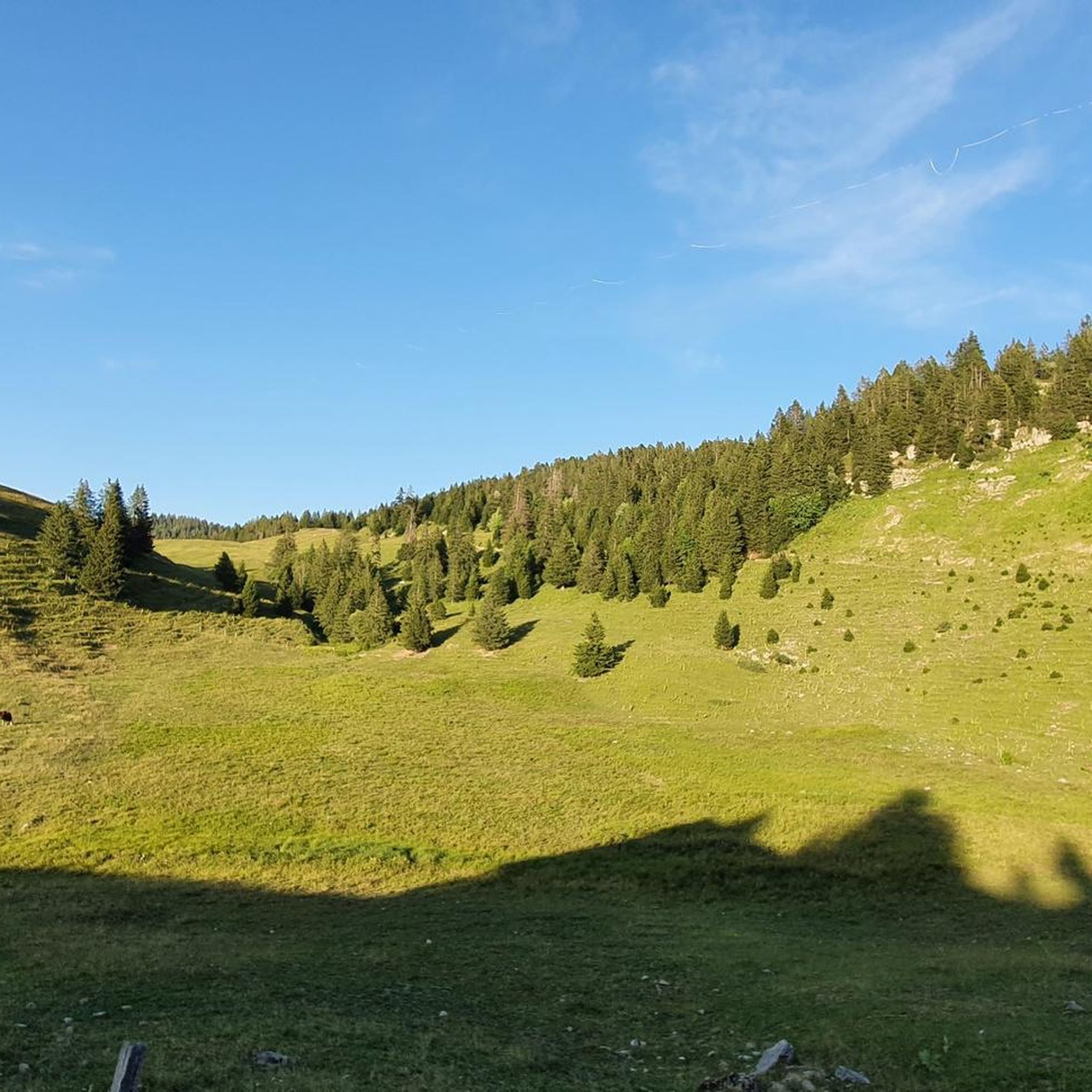
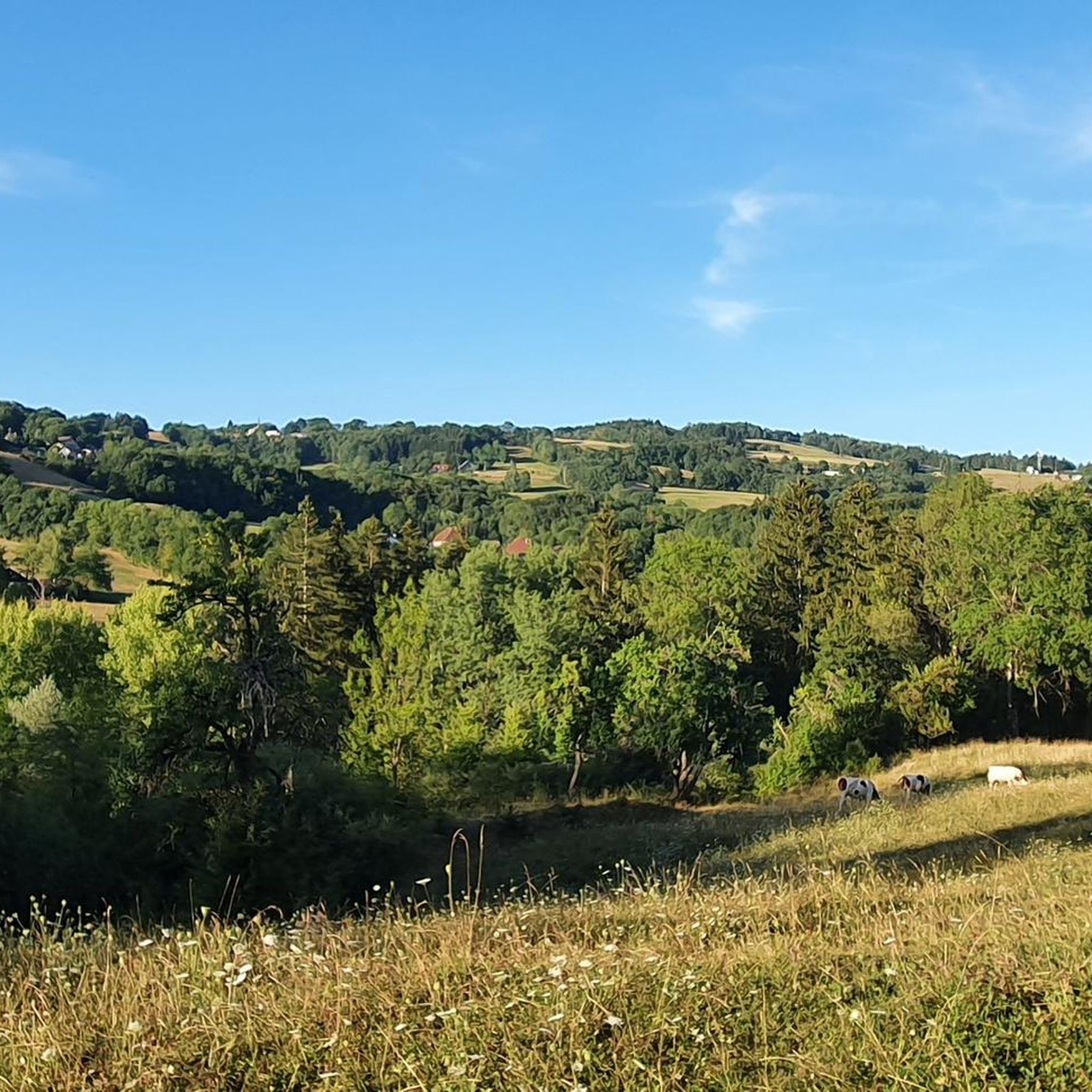
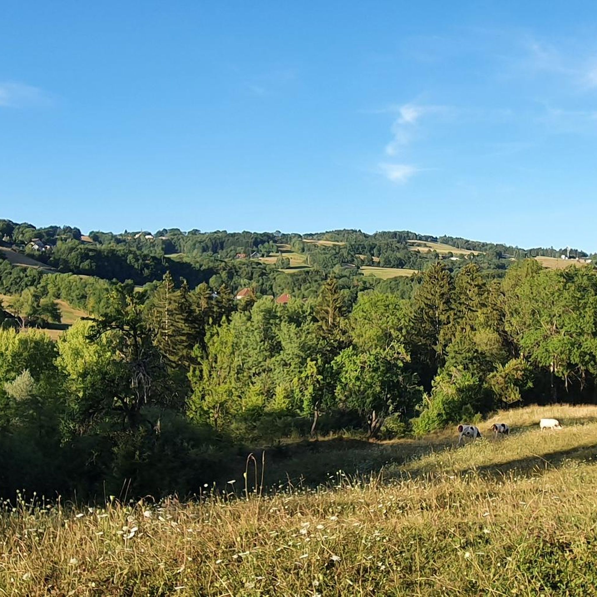
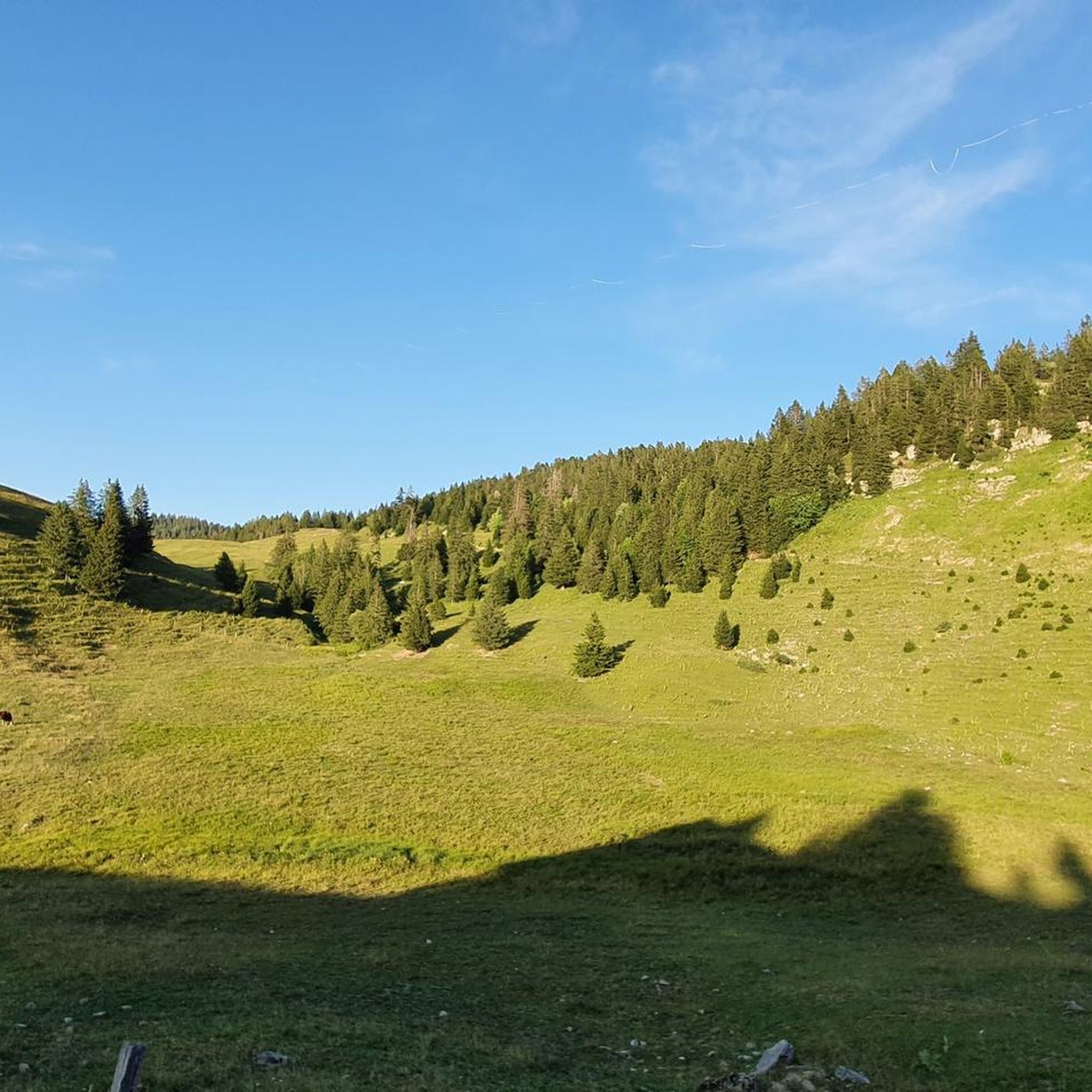
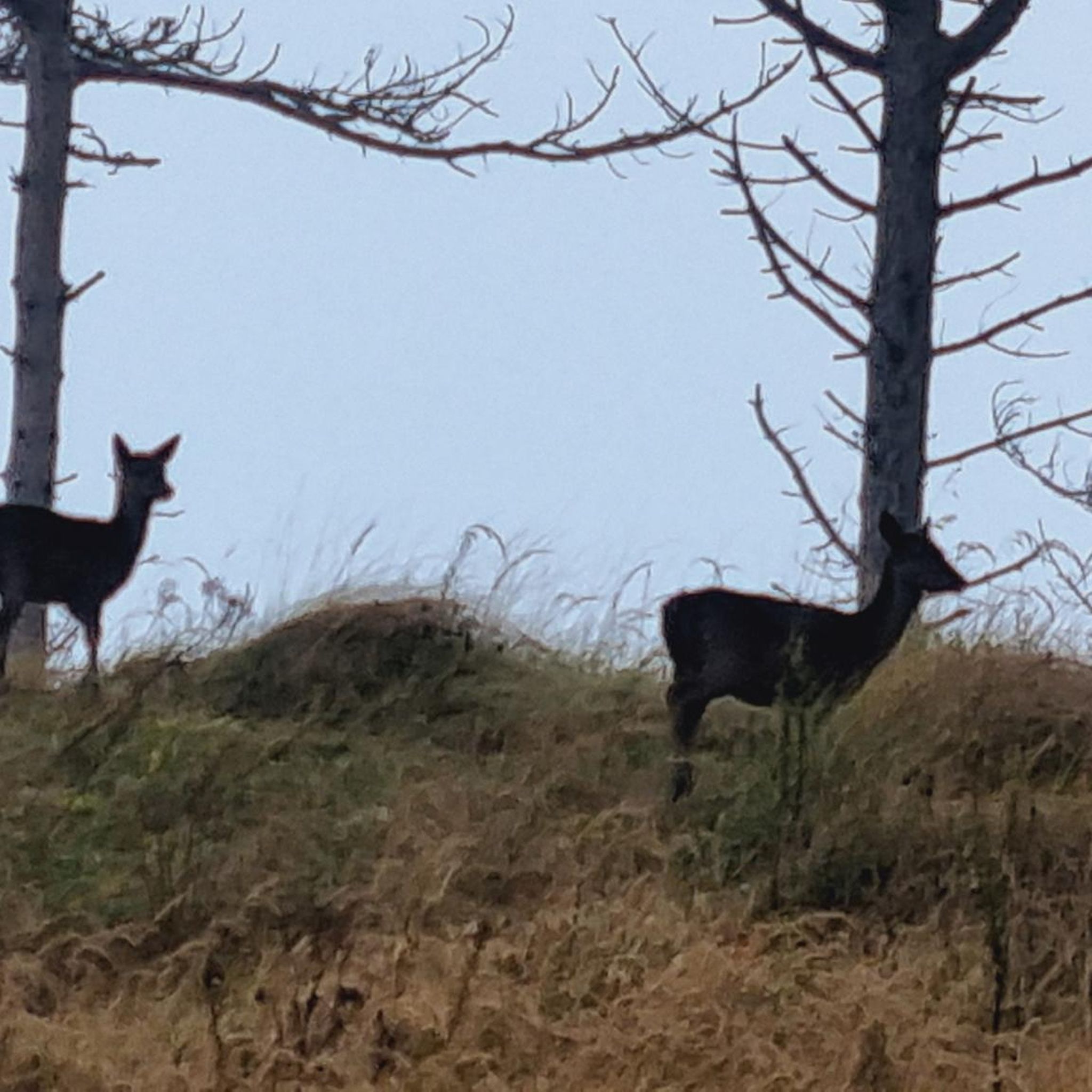
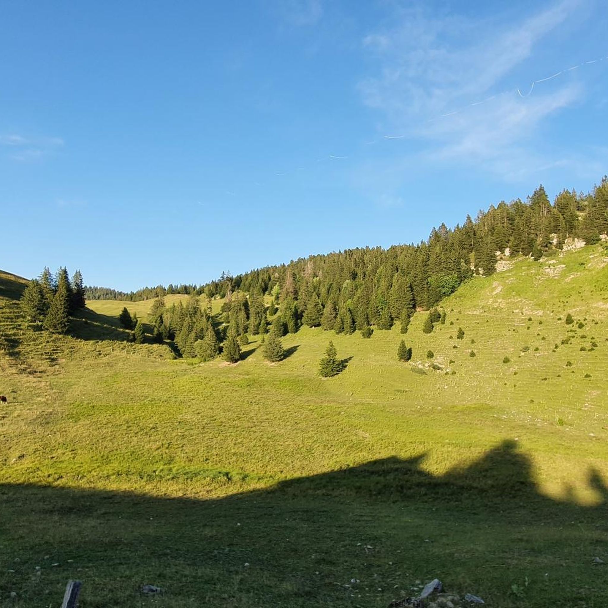
Tips from the Community

Breathtaking and incredible view of the Annecy basin.
0
0

Please note that since 2024, a decree prohibits access to the parking lot and prevents parking along the road. They pass by and issue fines otherwise.
0
0

A great chalet run by a very kind family and where we were able to buy fresh tomme cheese.
0
0
A bit dizzying but when the weather conditions are good and you watch where you put your feet, everything is fine!
0
0

Overcrowded, closed parking lots
0
0

magnificent hike on Mont Veyrier offering sublime views
1
0

Great view of the lake 🤩
2
0
For
1
1
Frequently Asked Questions
How many mountaineering routes are available around Les Ollières?
There are over 10 mountaineering routes around Les Ollières, offering a range of experiences. You'll find a mix of moderate and difficult trails, with the majority being challenging ascents through the region's varied terrain.
What are the typical difficulty levels for mountaineering routes in this area?
The mountaineering routes around Les Ollières are primarily rated as moderate or difficult. For example, routes like Le Grand Montoir – Le Petit Montoir loop from Crêt Châtillon and Mount Baron – View of the Aravis and Bauges loop from Annecy-le-Vieux are considered difficult, featuring significant elevation gains and requiring good physical condition.
Are there circular mountaineering routes available?
Yes, many of the mountaineering routes around Les Ollières are circular, allowing you to start and end at the same point. A popular option is the Tête du Parmelan – Le Grand Montoir loop from Villaz, which takes you through dense forests and to elevated viewpoints.
What natural features or landmarks can I expect to see on these mountaineering routes?
The routes traverse the scenic Eyrieux Valley, characterized by its green, forested hills and Mediterranean vegetation. You'll encounter diverse landscapes, from dense woodlands to open areas offering panoramic views. While specific natural landmarks on the routes aren't detailed, the region itself is defined by the picturesque Eyrieux River and its undulating terrain.
Are there any interesting places to visit near the mountaineering trails?
Yes, the area around Les Ollières offers several points of interest. You can explore mountain passes like Glières Pass or Smugglers' Pass. For cultural experiences, the charming Annecy Old Town is nearby, along with the Greenway along the shore of Lake Annecy for a different kind of outdoor activity.
What is the best time of year for mountaineering in Les Ollières?
Given the region's Mediterranean vegetation and hilly terrain, spring and autumn generally offer the most pleasant conditions for mountaineering, with milder temperatures and vibrant scenery. Summer can also be suitable, especially in the mornings or late afternoons, though it can be warmer. Winter mountaineering is possible but may require specific gear and awareness of conditions at higher elevations.
Are the mountaineering routes around Les Ollières dog-friendly?
Many trails in the Ardèche region are generally dog-friendly, especially if your dog is accustomed to longer, more challenging hikes. However, it's always advisable to keep your dog on a leash, especially in forested areas or near livestock, and to check for any specific local regulations or protected areas that might restrict access.
Are there places to eat or drink near the mountaineering routes?
Les Ollières-sur-Eyrieux is a peaceful village with local amenities. While specific cafes or pubs directly on the trails are unlikely, you'll find options in the village itself for refreshments and meals before or after your mountaineering adventure. The village also hosts a weekly open-air market for local produce.
What do other mountaineers enjoy the most about mountaineering in Les Ollières?
The mountaineering routes around Les Ollières are highly rated by the komoot community, with an average score of 4.6 stars. Reviewers often praise the challenging ascents, the beautiful forested landscapes, and the diverse environment of the Eyrieux Valley. The sense of accomplishment after tackling routes like View of the Aravis and Bauges – Mount Baron loop from Annecy-le-Vieux is frequently highlighted.
Are there any easier options for those new to mountaineering?
While the majority of routes are rated moderate to difficult, the region offers a wide network of hiking trails that cater to various levels. For those new to mountaineering, starting with a moderate route like Mont Baron loop from Annecy-le-Vieux could be a good introduction before tackling more challenging ascents. The 'Dolce Via' greenway also provides easier, safe paths for walking.
Is parking available near the starting points of the mountaineering routes?
Parking availability can vary depending on the specific trailhead. Generally, in and around Les Ollières and other villages that serve as starting points, you can find public parking areas. It's recommended to check the specific route details on komoot for information on designated parking spots near your chosen starting point.
Most popular routes around Les Ollières
Most popular attractions around Les Ollières

Get inspired with the komoot mobile app


Explore more
Browse the best Mountain Hikes & Routes in other regions.
