The best cycling routes around Les Ollières
4.6
(1433)
31,064
riders
423
rides
Touring cycling around Les Ollières is characterized by a varied landscape featuring hills, forests, and river valleys. The region offers a mix of terrain, with elevations ranging from lower valley floors to higher points, providing diverse cycling experiences. Routes often traverse through wooded areas and along waterways, showcasing the natural environment. This area provides a network of trails suitable for different skill levels, from gentle paths to more challenging ascents.
Best touring cycling routes around Les Ollières
- The most popular…
Last updated: July 1, 2026
19
riders
33.2km
02:24
710m
710m
Hard bike ride. Very good fitness required. Mostly paved surfaces. Suitable for all skill levels.
19
riders
10.6km
00:59
430m
430m
Hard bike ride. Good fitness required. You may need to push your bike for some segments of this route.

Sign up for free
18
riders
27.2km
02:35
970m
970m
Hard bike ride. Very good fitness required. Mostly paved surfaces. Suitable for all skill levels.
17
riders
10.5km
00:47
230m
230m
Moderate bike ride. Good fitness required. Mostly paved surfaces. Suitable for all skill levels.
19
riders
21.9km
01:20
200m
200m
Moderate bike ride. Good fitness required. Mostly paved surfaces. Suitable for all skill levels.
Get access to more routes and recommendations from other explorers.
Sign up for free
Already have an account?
Our route recommendations are based on thousands of hikes, rides, and runs completed by other people on komoot.
Start today with a free account
Your next adventure awaits.
Login or Signup
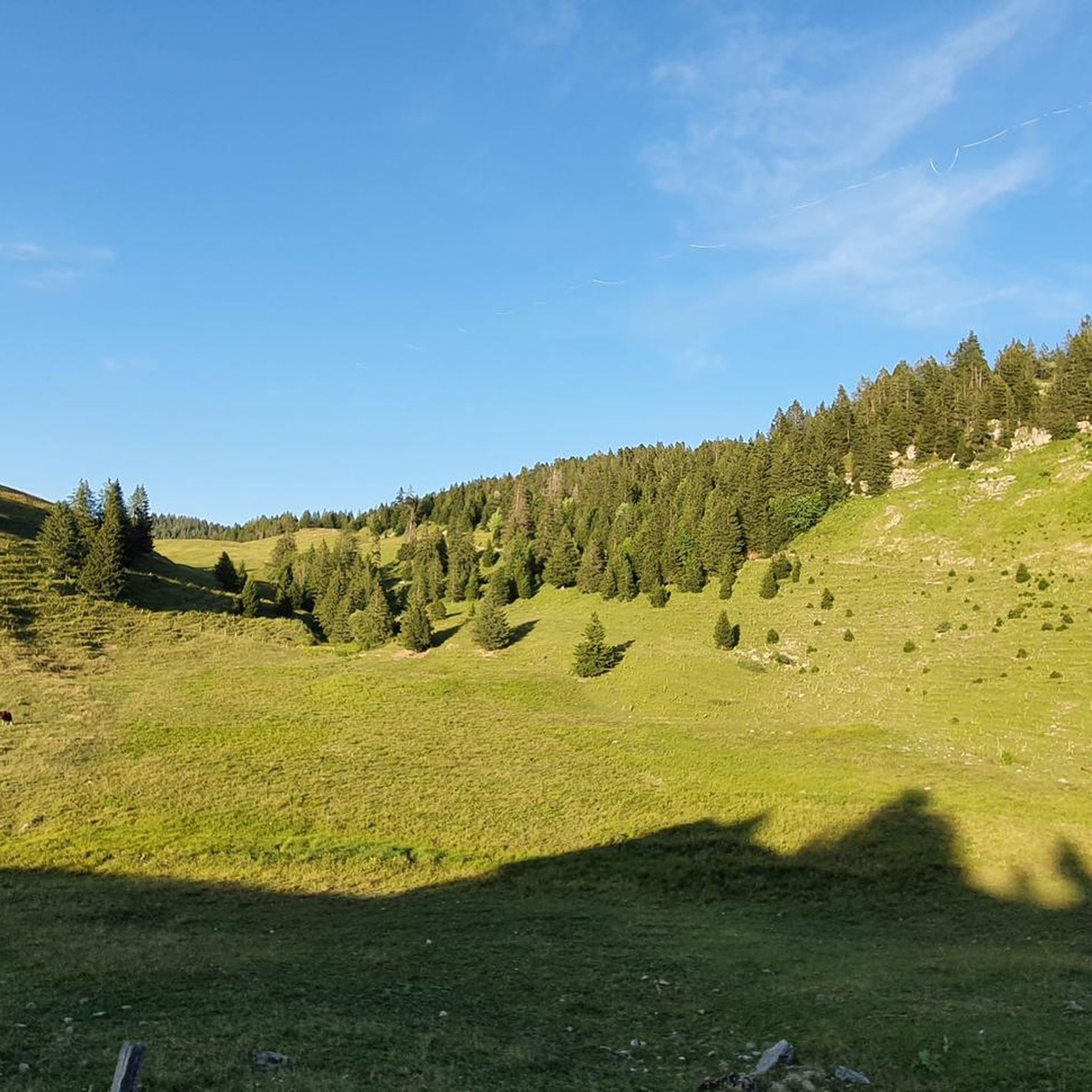
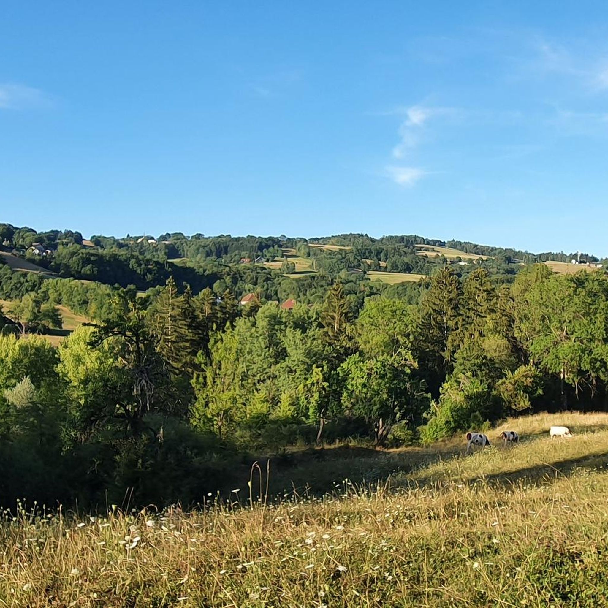
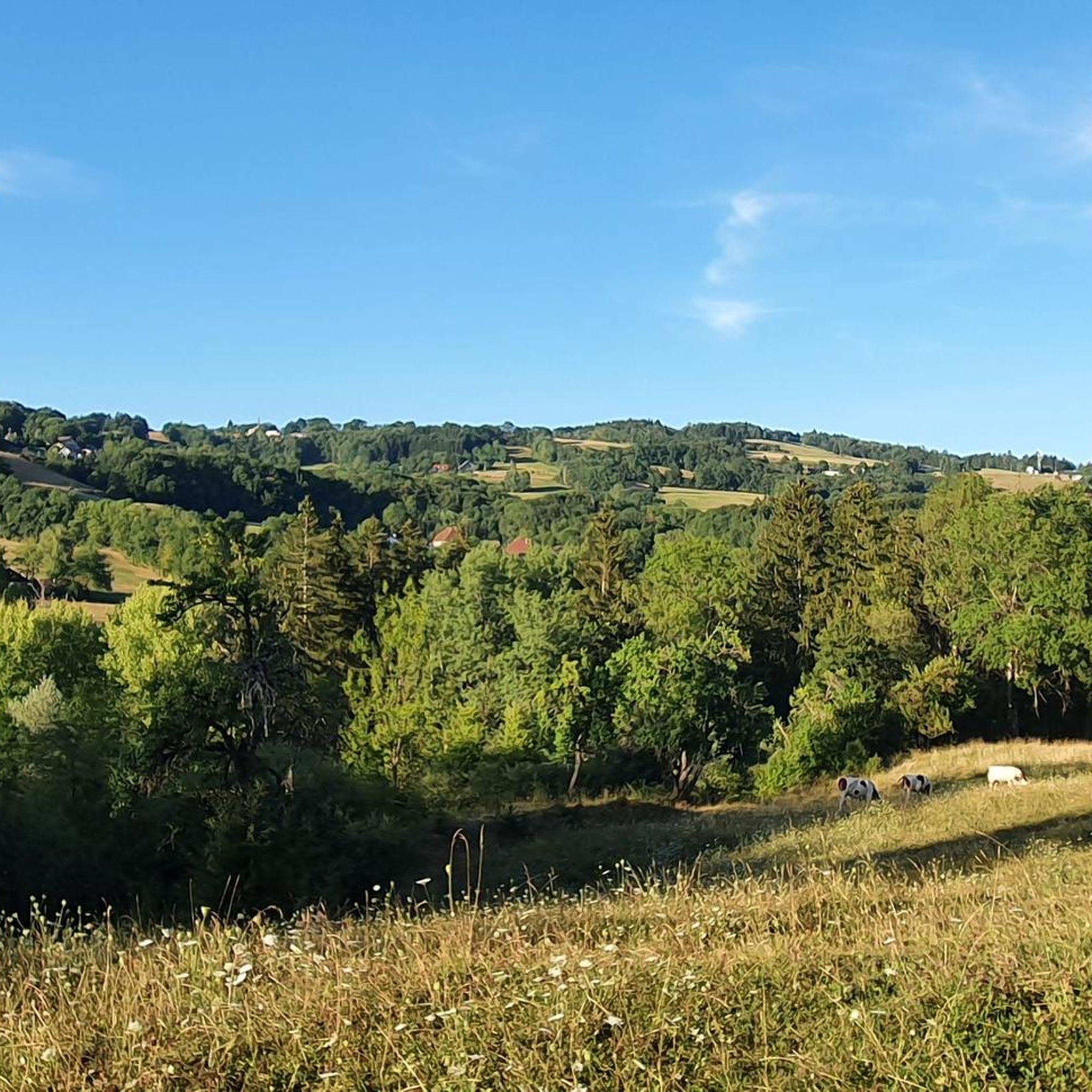
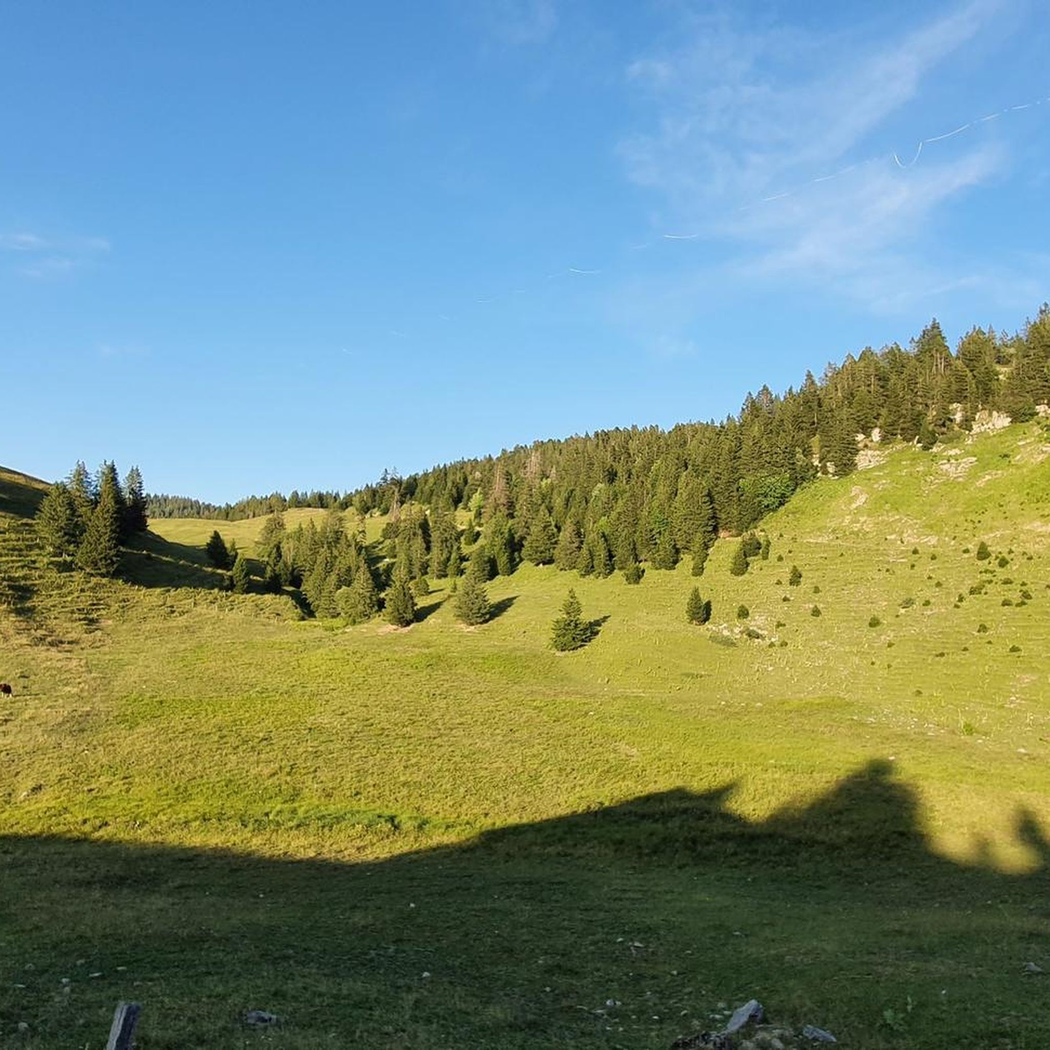

Tips from the Community

A little further upstream, FKK in complete tranquility for those who like it.
0
0

This parking lot is perfect for starting a hike to the Tête du Parmelan, located 700 meters higher at 1,804 meters above sea level.
0
0

Pass without much interest but the descent from it, rolling, is a treat on a trail!
0
0

This superb section overlooks the valley while offering beautiful views of the Parmelan plateau. This less traveled route allows you to enjoy superb views of the surrounding landscapes.
1
0

Classic regional cuisine served at altitude on the Parmelan mountain. The restaurant offers fantastic views of the vast valleys below, as well as the impressive cliffs and rocky peaks that surround it.
0
0

The Col de la Frétallaz from Argonay is 4.2 km long with a total drop of 213 m. The average gradient is 6% with maximum gradients of 9.5%.
2
0

Little variant on the road to aviernoz 🤩 beautiful view!!!
0
0

mid-altitude refuge perfect for dining and quenching your thirst in summer. Very nice home
0
0
Frequently Asked Questions
What makes touring cycling around Les Ollières unique?
Touring cycling in the Les Ollières region offers a diverse experience, characterized by hilly terrain, dense forests, and routes that feature significant elevation changes. The area provides a network of trails suitable for various skill levels, from moderate paths to more challenging ascents, all set within a verdant environment. The region is particularly known for its scenic routes along river valleys and through historical landscapes.
Are there any easy touring cycling routes suitable for families or beginners?
Yes, while many routes around Les Ollières feature challenging ascents, there are 102 easy routes available. For a generally accessible experience, the Ardèche region, where Les Ollières-sur-Eyrieux is located, is famous for 'La Dolce Via', a greenway built on a former railway track. This path offers a gentle 1% gradient, making it ideal for families and cyclists of all skill levels. Specific segments of La Dolce Via are suitable for easy cycling.
What are some notable natural features or landmarks to see while cycling?
The Les Ollières area is rich in natural beauty. You can explore the Eyrieux Valley and River, which offers stunning scenery and opportunities to observe local wildlife. The Eyrieux Gorges are particularly picturesque, especially in autumn with vibrant chestnut trees. For specific viewpoints and mountain passes, consider routes that pass near highlights such as View of Lake Annecy from Mont Veyrier or Smugglers' Pass.
How many touring cycling routes are available in the Les Ollières area?
There are over 420 touring cycling routes available around Les Ollières, catering to a wide range of preferences and skill levels. This includes 102 easy routes, 126 moderate routes, and 192 difficult routes, ensuring there's something for every touring cyclist.
What do other touring cyclists enjoy most about the routes here?
The routes in Les Ollières are highly rated by the komoot community, with an average score of 4.5 stars from over 1300 reviews. Cyclists often praise the varied terrain, the challenging ascents, and the rewarding views found along the trails. Over 32,000 touring cyclists have used komoot to explore the diverse landscapes of Les Ollières.
Are there any circular touring cycling routes?
Yes, there are several circular touring cycling routes available. An example of a challenging loop is the Smugglers' Pass – Banks of the Fier River loop from Charvonnex, which covers 33.4 km. Another option is the Chalet de l’anglettaz – Start of the gravel segment loop from Les Ollières, a 27.2 km trail through hilly landscapes.
Can I find places to eat or stay along the cycling routes?
Les Ollières-sur-Eyrieux and the surrounding villages offer various amenities for cyclists. You'll find cafes, pubs, and accommodation options in the commune itself and along popular routes like La Dolce Via. The region has transformed into a popular tourist destination, ensuring services are available for visitors.
What is the best time of year for touring cycling in Les Ollières?
The region is generally pleasant for cycling from spring through autumn. The Eyrieux Gorges are particularly picturesque in autumn when chestnut trees display vibrant orange and yellow hues. Summer offers warm weather, while spring brings fresh greenery. Always check local weather conditions before heading out.
Are there options for bike rentals in Les Ollières-sur-Eyrieux?
Yes, bike, electric bike, and even 'Rosalie' (non-motorized vehicle) rentals are readily available in Les Ollières-sur-Eyrieux. This provides convenient access to the extensive network of trails, including La Dolce Via.
What are some other activities or attractions near the cycling routes?
Beyond cycling, the region offers a variety of activities. You can enjoy canoeing on the Eyrieux River or relax at the supervised beach at Théoule. For adventure seekers, nearby attractions include Aquarock Aventure and Indian Forest adventure park. Cultural sites like the character-filled villages of Chalencon and Beauchastel, or the prehistoric caves of Soyons, are also within reach. Don't miss the impressive Ray-Pic waterfall further afield.
Is public transport available to access the cycling routes?
While specific public transport details for accessing every route might vary, the region is generally committed to accessible outdoor recreation. For routes like La Dolce Via, which passes through several towns, there are often local transport options that can help you reach different starting points. It's advisable to check local bus or train schedules for the most up-to-date information on reaching specific trailheads.
Where can I park my car when cycling in Les Ollières?
Parking is generally available at various access points for popular cycling routes. For instance, along La Dolce Via, there are designated parking areas in towns and villages that serve as trailheads. In Les Ollières-sur-Eyrieux itself, you can find parking facilities to start your cycling adventure. Always look for marked parking zones to ensure convenience and compliance with local regulations.
Most popular routes around Les Ollières
Most popular attractions around Les Ollières

Get inspired with the komoot mobile app


Explore more
Browse the best Cycling routes in other regions.
