The best running trails around Arvillard
4.5
(109)
5,092
runners
330
runs
Jogging routes around Arvillard, located in the Savoie region of the French Alps, traverse a varied landscape ideal for runners. The area features a mix of challenging mountain passes, such as the Col du Grand Cucheron, and scenic valleys like the Vallon du Joudron. Its diverse topography, ranging from 400m to 2760m, provides options for both strenuous climbs and more gentle running experiences. An extensive network of trails, including sections of the GR738, caters to different fitness levels.
Best jogging…
Last updated: October 4, 2026
29
runners
10.6km
01:20
370m
360m
Hard run. Very good fitness required. Sure-footedness, sturdy shoes and alpine experience required.
7
runners
9.40km
01:02
70m
70m
Moderate run. Good fitness required. Mostly paved surfaces. Suitable for all skill levels.

9
runners
5.94km
00:39
80m
80m
Moderate run. Good fitness required. Mostly paved surfaces. Suitable for all skill levels.
10
runners
9.58km
01:43
640m
640m
Hard run. Very good fitness required. Sure-footedness, sturdy shoes and alpine experience required.
10
runners
18.6km
01:58
190m
190m
Hard run. Very good fitness required. Mostly paved surfaces. Suitable for all skill levels.
Get access to more routes and recommendations from other explorers.
Already have an account?
Our route recommendations are based on thousands of hikes, rides, and runs completed by other people on komoot.
Start today with a free account
Your next adventure awaits.
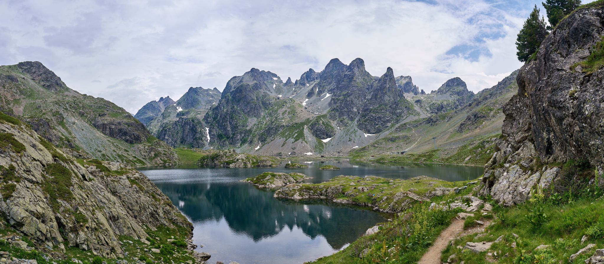
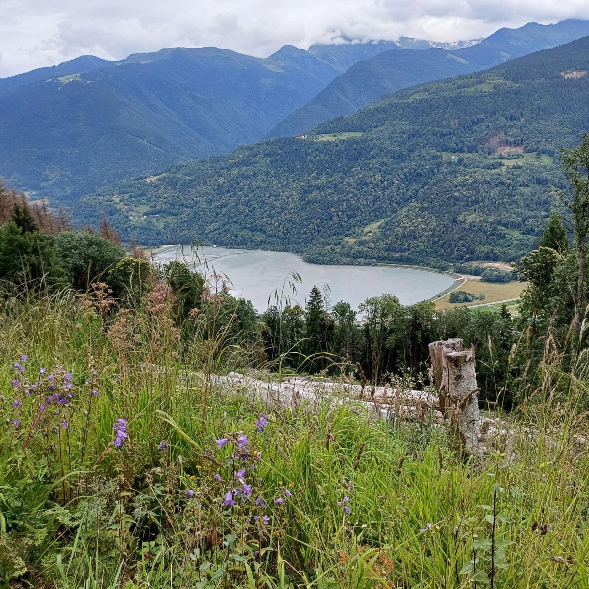
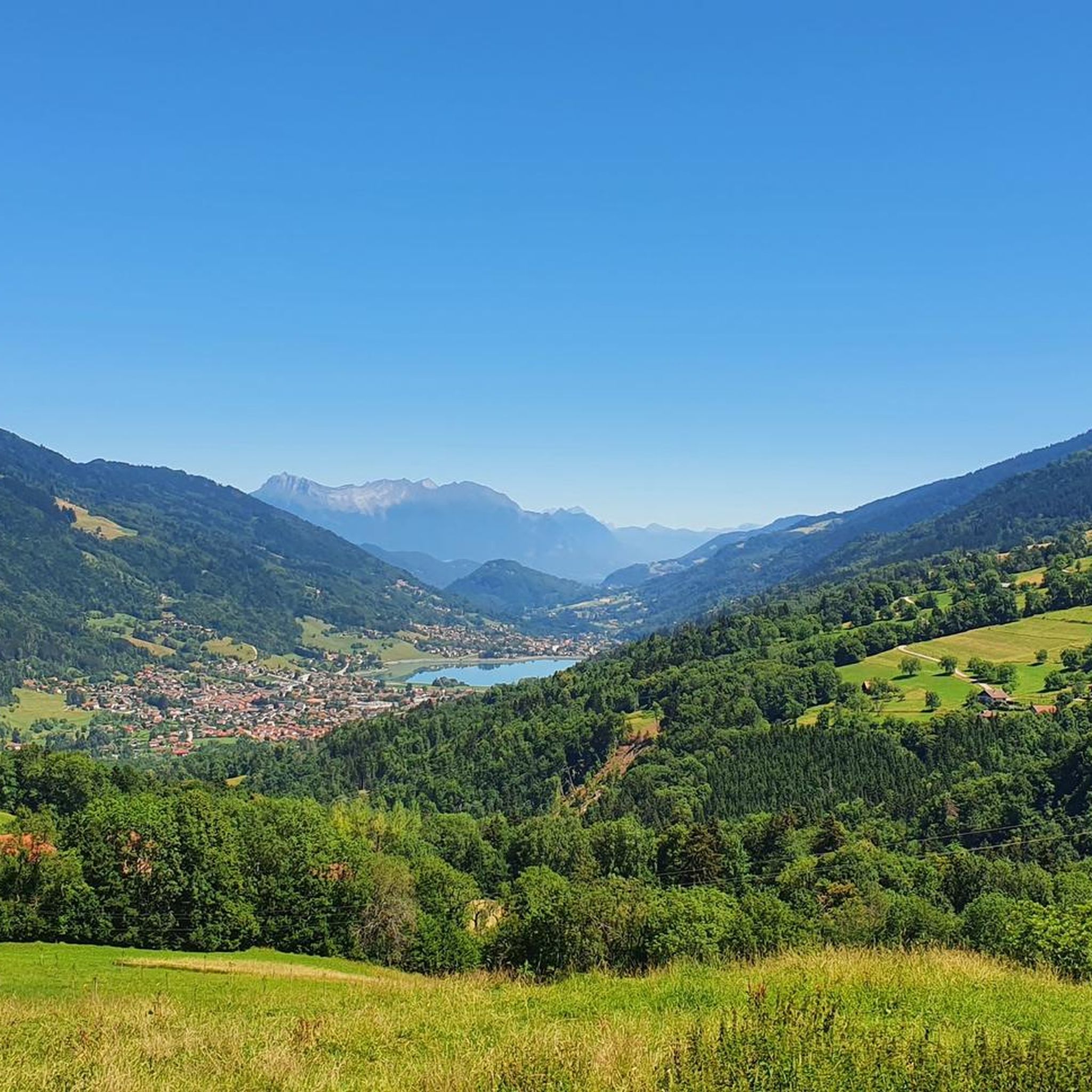
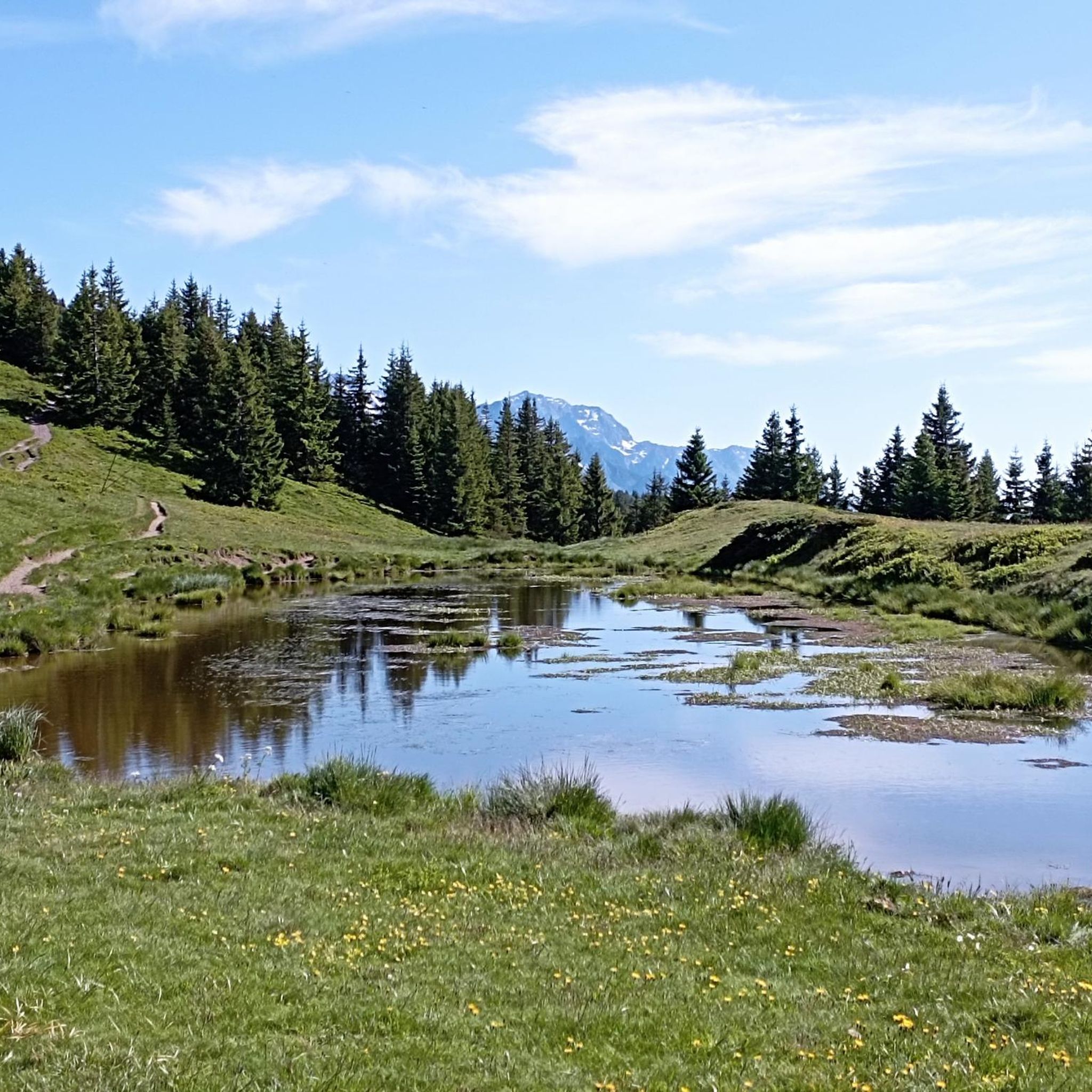

Other adventures around Arvillard

Tips from the Community

It is a surprise to arrive at this vertical rock face, the quarry, with the clear view on the left, dominating Detrier below and the Moutaret further to the left. It is a beautiful little valley that can only be seen from above. From there, a hiking trail leads to the chapel of Ste Marguerite before going back down to Arvillard on the other side of Mont Pézard.
0
0

Le Bar des Alpes is a perfect place for a coffee break in La Rochette. At lunchtime, there is a generous menu!
0
0

Lac Saint Clair is a small lake just outside La Rochette. There are plenty of places to have a picnic and enjoy the lake during the summer months.
1
0

The Perrière refuge is an unguarded refuge that was renovated in 2018. It is nestled at the foot of the Grands Moulins (2,498 meters above sea level). There you will find 18 beds on mattresses, blankets, a stove, kitchen utensils and water. It is also equipped with solar electricity, which allows its smartphones and GPS devices to be recharged. A beautiful place to spend a night in the mountains!
1
0
The Col de la Perrière is located at an altitude of 2,003 meters. It offers a superb view of the Grand Charnier, the Grands Moulins, the Frêche, the Tête de la Perrière and the Grand Miceau.
0
0

Beautiful circuit from Allevard, on the road to the White Chapel then on forest tracks with a few passages a little engaged, through the Montmayeur Towers which are absolutely worth a visit (access by the parking recommended), then the col de Cochette to Béton Bétonnet. Best done after a period of dry weather as there are quite a few potholes in some areas. Return by small roads at the foot of the mountain to La Rochette then return to Allevard via Arvillard.
0
0
Frequently Asked Questions
How many running routes are available around Arvillard?
Arvillard offers a wide variety of running experiences, with over 320 routes documented on komoot. These range from gentle valley paths to challenging mountain ascents, catering to all fitness levels.
Are there any easy or beginner-friendly jogging routes in Arvillard?
Yes, Arvillard has options for beginners and those seeking a less strenuous run. There are 23 easy routes and 151 moderate routes available. While specific easy routes aren't detailed here, the region's diverse terrain includes flatter paths in the valleys suitable for a gentle jog. For a moderate option, consider the Bar des Alpes – Lake Saint Clair loop from Détrier, which is 9.5 km long and rated moderate.
What kind of challenging running trails can I find in Arvillard?
For experienced runners, Arvillard offers significant challenges with 150 difficult routes. The region is known for its demanding mountain passes like the Col du Grand Cucheron and the Col de Marocaz. You can also explore sections of the GR738, a long-distance trail with substantial elevation changes. A popular difficult route is the Les Grands Moulins loop from Parking de Val Pelouse, a 10.8 km trail with over 800 meters of elevation gain.
Are there any circular running routes in the Arvillard area?
Yes, many of the running routes around Arvillard are circular, allowing you to start and finish at the same point. Examples include the popular Les Grands Moulins loop from Parking de Val Pelouse and the La carrière loop from La Rochette.
What are the best starting points for running routes in Arvillard, especially with parking?
Val Pelouse is a key starting point for many trails, including the Les Grands Moulins loop and the Perrière Pass – Refuge de la Perrière loop. Parking is generally available at these popular trailheads. Other routes may start from villages like La Rochette or Détrier, which also offer parking facilities.
Can I find running routes with scenic viewpoints in Arvillard?
Absolutely! Arvillard's mountainous terrain is rich with stunning vistas. The Crêt du Poulet is specifically noted for its magnificent viewpoints and diverse landscapes, offering panoramic views during your run. Many routes traversing mountain passes like the Col du Grand Cucheron or the Marocaz Pass also provide breathtaking scenery.
Are there any dog-friendly running trails in Arvillard?
While specific regulations for dogs on every trail can vary, generally, many trails in the Arvillard region are accessible for dogs, especially in the mid-mountain and valley areas. It's always recommended to keep your dog on a leash, especially in protected areas or near livestock, and to check local signage for any specific restrictions before heading out.
What do other runners say about the trails in Arvillard?
The running routes in Arvillard are highly regarded by the komoot community, boasting an average rating of 4.4 stars from over 60 reviews. Runners frequently praise the region's varied terrain, from challenging mountain passes to scenic valleys, and the extensive network of trails that cater to different abilities.
Are there any lakes or water bodies near Arvillard suitable for running?
Yes, approximately 9 km from Arvillard, near Pontcharra, you'll find the Plan d'eau des Lônes. This natural area offers opportunities for running, mountain biking, or walking around the water, providing a flatter alternative to the mountain trails.
Can I access running routes in Arvillard using public transport?
While Arvillard is nestled in the Alps, public transport options to specific trailheads can be limited. It's advisable to check local bus schedules or consider driving to key starting points like Val Pelouse or villages such as La Rochette and Détrier, which are more accessible and often have parking facilities.
What is the best time of year for running in Arvillard?
The best time for running in Arvillard is generally from spring to autumn. During summer, the higher mountain passes like the Col du Grand Cucheron offer shaded sections, making them enjoyable. Spring and autumn provide cooler temperatures and beautiful foliage, though higher elevations might still have snow early in spring or late in autumn. Winter running is possible, but requires appropriate gear and caution due to snow and ice, especially on higher trails.
Are there any long-distance running trails in the Arvillard region?
Yes, for ultra-sportive and experienced runners, the GR738, also known as the Trail de Belledonne, traverses Arvillard. This challenging long-distance trail covers the entire Belledonne mountain range, featuring significant elevation changes with 11,000 meters of positive gain, comparable to major trails like the GR20 or GR54.
Most popular routes around Arvillard
Most popular attractions around Arvillard

Get inspired with the komoot mobile app


Explore more
Browse the best Running Trails & Routes in other regions.
