The best walks and hikes around Arvillard
4.6
(312)
3,054
hikers
14
hikes
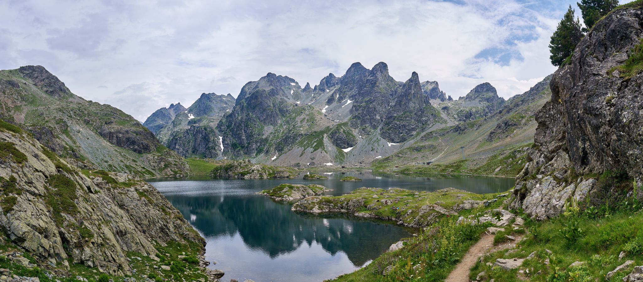
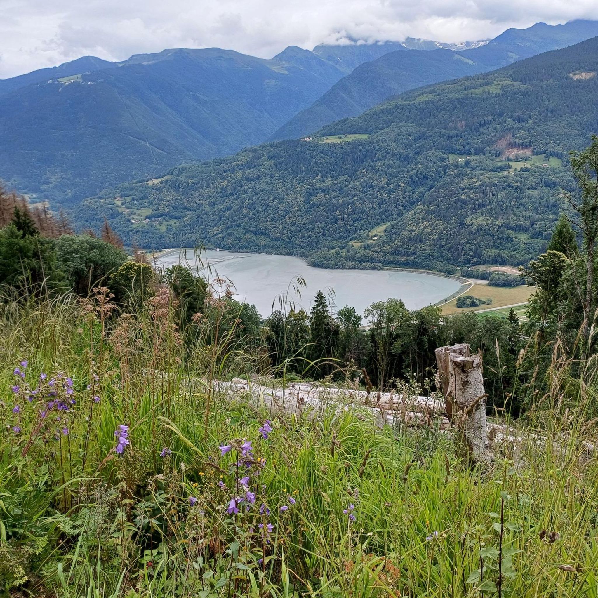
Hiking around Arvillard offers a diverse natural environment within Savoie, France, characterized by varied landscapes. The region features expansive mountain pastures, high mountain cirques like Gargotton and Férices, and several natural lakes including Lac Vert and Lac Noir. Numerous mountain passes, such as Col de la Perrière and Col de la Perche, provide both challenging ascents and wide-ranging views of surrounding massifs.
Best hiking trails around Arvillard
- The most popular hiking route is Perrière Pass – Refuge de la Perrière…
Last updated: August 11, 2026
4.4
(21)
167
hikers
8.85km
03:21
500m
500m
Moderate hike. Good fitness required. Mostly accessible paths. Sure-footedness required.
5.0
(1)
42
hikers
22.3km
11:25
1,880m
1,880m
Hard hike. Very good fitness required. Sure-footedness, sturdy shoes and alpine experience required.

Sign up for free
4.0
(2)
31
hikers
9.58km
03:57
640m
640m
Moderate hike. Good fitness required. Mostly accessible paths. Sure-footedness required.
3.0
(1)
41
hikers
13.1km
04:50
740m
740m
Moderate hike. Good fitness required. Mostly accessible paths. Sure-footedness required.
5.0
(1)
23
hikers
5.44km
02:16
340m
340m
Moderate hike. Good fitness required. Mostly accessible paths. Sure-footedness required.
Get access to more routes and recommendations from other explorers.
Sign up for free
Already have an account?
Our route recommendations are based on thousands of hikes, rides, and runs completed by other people on komoot.
Start today with a free account
Your next adventure awaits.
Login or Signup

Other adventures around Arvillard

Tips from the Community

Beware of the dwarf king who protects the place.
0
0

Col la Perche is located at an altitude of 1,986 meters, between Pointe de Rognier (2,341 meters) and Chapotet (2,083 meters).
0
0
Located at 2,268 meters above sea level, the summit of Pointe de la Frèche is steep and rocky. It offers an incredible panorama on Mont Blanc, and more in the foreground the Grands Moulins and the Tête de la Perrière.
0
0
The Perrière refuge is an unguarded refuge that was renovated in 2018. It is nestled at the foot of the Grands Moulins (2,498 meters above sea level). There you will find 18 beds on mattresses, blankets, a stove, kitchen utensils and water. It is also equipped with solar electricity, which allows its smartphones and GPS devices to be recharged. A beautiful place to spend a night in the mountains!
1
0
The Col de la Perrière is located at an altitude of 2,003 meters. It offers a superb view of the Grand Charnier, the Grands Moulins, the Frêche, the Tête de la Perrière and the Grand Miceau.
0
0
Frequently Asked Questions
What types of hiking trails are available around Arvillard?
Arvillard offers a diverse range of hiking trails, from moderate loops to challenging multi-day treks. You'll find paths through mountain pastures, high mountain cirques, and over various mountain passes. There are 12 routes in total, with 8 moderate and 4 difficult options.
Are there any easy or family-friendly hikes in Arvillard?
While the guide primarily lists moderate and difficult routes, the region research indicates that Arvillard offers trails suitable for easy family walks with rich flora, such as those 'Around Mont Pezard' and the 'Joudron circuit'. These paths are designed to be accessible and enjoyable for all ages.
What kind of views can I expect on hikes near Arvillard?
Hikers in Arvillard can enjoy spectacular 360-degree panoramas. From the Val Pelouse ridge, you can see the Massif de la Chartreuse, Massif des Bauges, Massif du Beaufortain, Mont Blanc, and the Hurtières chain. Other trails provide superb views of the Belledonne mountain range and the Vercors in the distance. For a specific route with great views, consider the View of the French Alps – Perrière Pass loop from Parking de Val Pelouse.
Are there any circular hiking routes in Arvillard?
Yes, Arvillard features several circular routes. For example, the Perrière Pass – Refuge de la Perrière loop from Institut Karma Ling is a moderate 8.8 km trail. Another option is the more challenging Refuge de la Perrière – Col de la Perche loop from Les Varandes, which covers 21.8 km.
What are some notable natural features or landmarks to see while hiking?
The region is rich in natural beauty. You can explore mountain pastures like Val Pelouse, high mountain cirques such as Gargotton and Férices, and natural lakes like Lac Vert and Lac Noir. Notable mountain passes include the Col de la Perrière and Col de la Perche. You can also visit the Refuge de la Perrière or enjoy panoramic views from Crêt du Poulet.
What is the best time of year to go hiking in Arvillard?
The mountain pastures around Arvillard offer changing colors throughout the seasons, from crocuses in spring to arnica and rhododendron in summer. While specific best times depend on your preferred conditions, summer and early autumn generally provide the most favorable weather for exploring the higher elevations and enjoying the full bloom of the flora.
Are there any mountain refuges or huts along the trails?
Yes, there are several refuges where hikers can find respite. The Refuge de la Perrière is a well-known spot, often included in popular loops. Other options include the Refuge des Férices and the Refuge de l'Aup Bernard. These can be useful for longer hikes or multi-day treks.
What do other hikers say about the trails in Arvillard?
The hiking routes in Arvillard are highly regarded by the komoot community, holding an average rating of 4.6 stars from over 270 reviews. More than 2,800 hikers have used komoot to explore the varied terrain, often praising the stunning mountain scenery and diverse trail options.
Where can I park when starting a hike in Arvillard?
Many trails in Arvillard have designated starting points with parking. For instance, the Perrière Pass – Refuge de la Perrière loop can be started from Parking de Val Pelouse, which is a significant starting point for numerous hikes in the area.
Are there any long-distance hiking routes that pass through Arvillard?
Yes, Arvillard is traversed by the GR738, an 'ultra-sporty' long-distance trail. This route follows the spine of the Belledonne mountain range and is known for its significant elevation changes, attracting itinerant hikers and trail runners looking for a challenging multi-day experience.
What are some of the higher peaks or challenging ascents in the Arvillard area?
For experienced hikers, the region offers challenging ascents to peaks like the 'Grande Montagne d'Arvillard' and the 'Grands Moulins,' which stands at 2,495 meters and is an emblematic summit of the region. The 'Val Pelouse ridge hike' also provides a challenging path towards the Perrière refuge.
Can I find mountain passes with panoramic views near Arvillard?
Absolutely. Arvillard is surrounded by numerous mountain passes that offer breathtaking vistas. Notable passes include the Col du Grand Cucheron, Col de la Perrière, Col de la Perche, and the renowned Col de la Madeleine. These provide both challenging climbs and rewarding panoramic views.
Most popular routes around Arvillard
Most popular attractions around Arvillard

Get inspired with the komoot mobile app


Explore more
Browse the best Hikes in other regions.
