The best running trails around Séchilienne
4.4
(186)
10,229
runners
324
runs
Jogging routes around Séchilienne are characterized by the mountainous terrain of the Belledonne range, offering significant elevation changes and diverse landscapes. The region features high mountain passes, alpine lakes, and forested slopes, providing a challenging environment for runners. Many trails ascend to viewpoints overlooking the surrounding valleys and peaks.
Best jogging routes around Séchilienne
- The most popular jogging route is Ut4M 40 Belledonne, a 29.1 miles (46.8 km) trail that takes 8 hours 36 minutes to complete. This difficult…
Last updated: October 4, 2026
293
runners
46.8km
08:37
2,750m
2,990m
Hard run. Very good fitness required. Sure-footedness, sturdy shoes and alpine experience required.
30
runners
4.92km
00:46
170m
170m
Jog a difficult 3.1-mile (4.9 km) route around Lake Achard, gaining 569 feet (173 metres) with stunning mountain views.

5.0
(1)
179
runners
31.0km
05:23
1,620m
1,620m
Hard run. Very good fitness required. Sure-footedness, sturdy shoes and alpine experience required.
52
runners
6.27km
00:59
230m
230m
Hard run. Good fitness required. Sure-footedness, sturdy shoes and alpine experience required.
49
runners
22.2km
03:52
1,550m
1,550m
Hard run. Very good fitness required. Sure-footedness, sturdy shoes and alpine experience required.
Get access to more routes and recommendations from other explorers.
Already have an account?
Our route recommendations are based on thousands of hikes, rides, and runs completed by other people on komoot.
Start today with a free account
Your next adventure awaits.
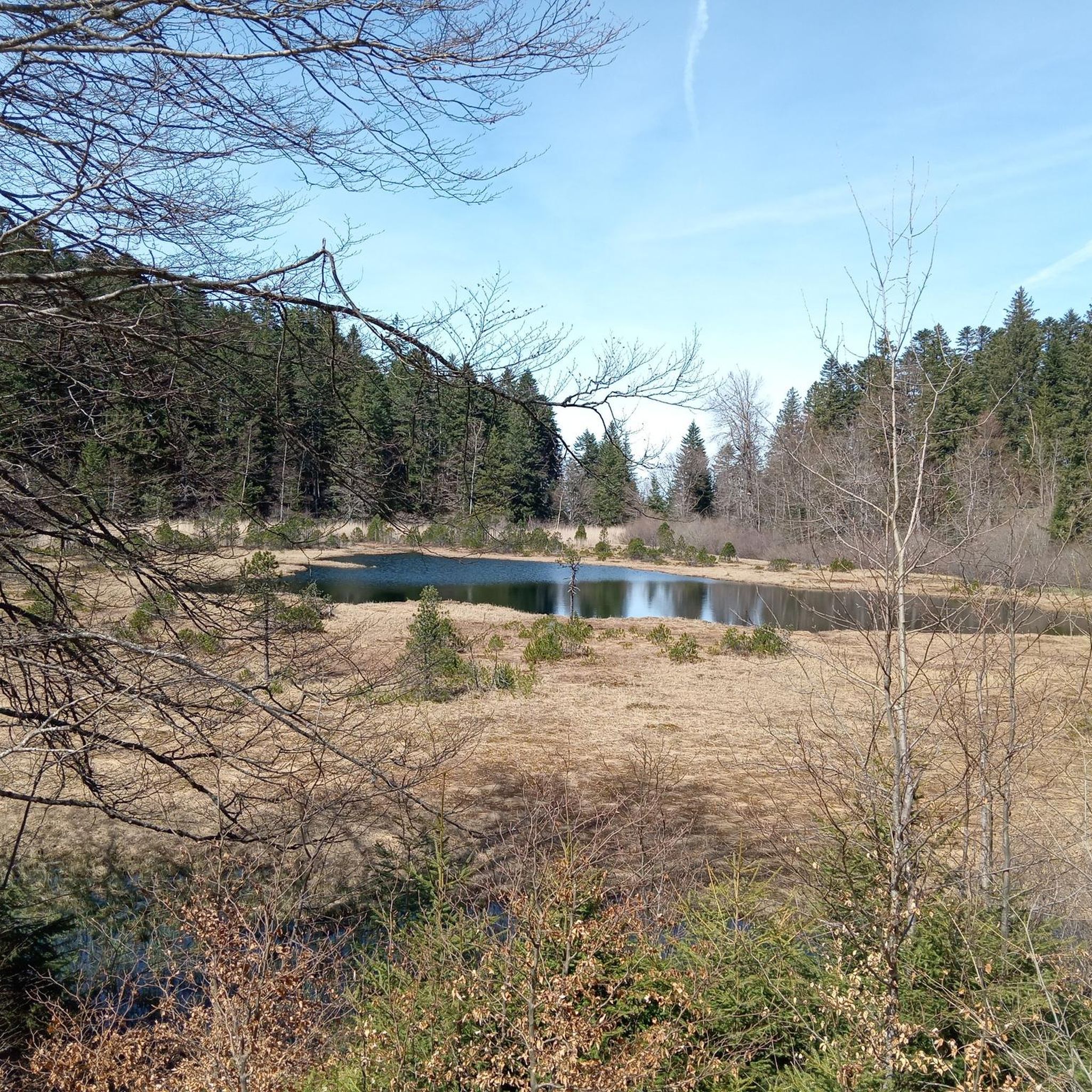
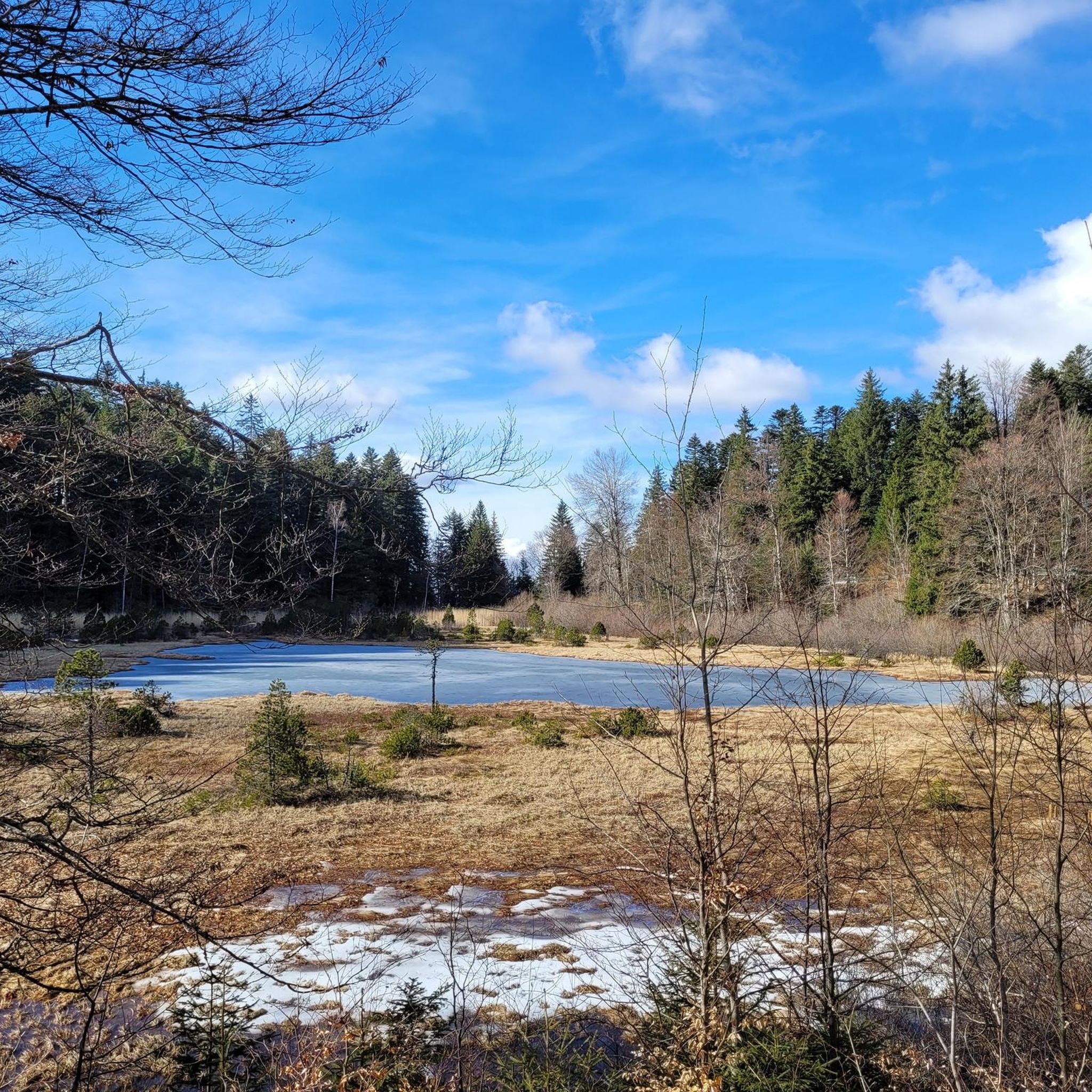
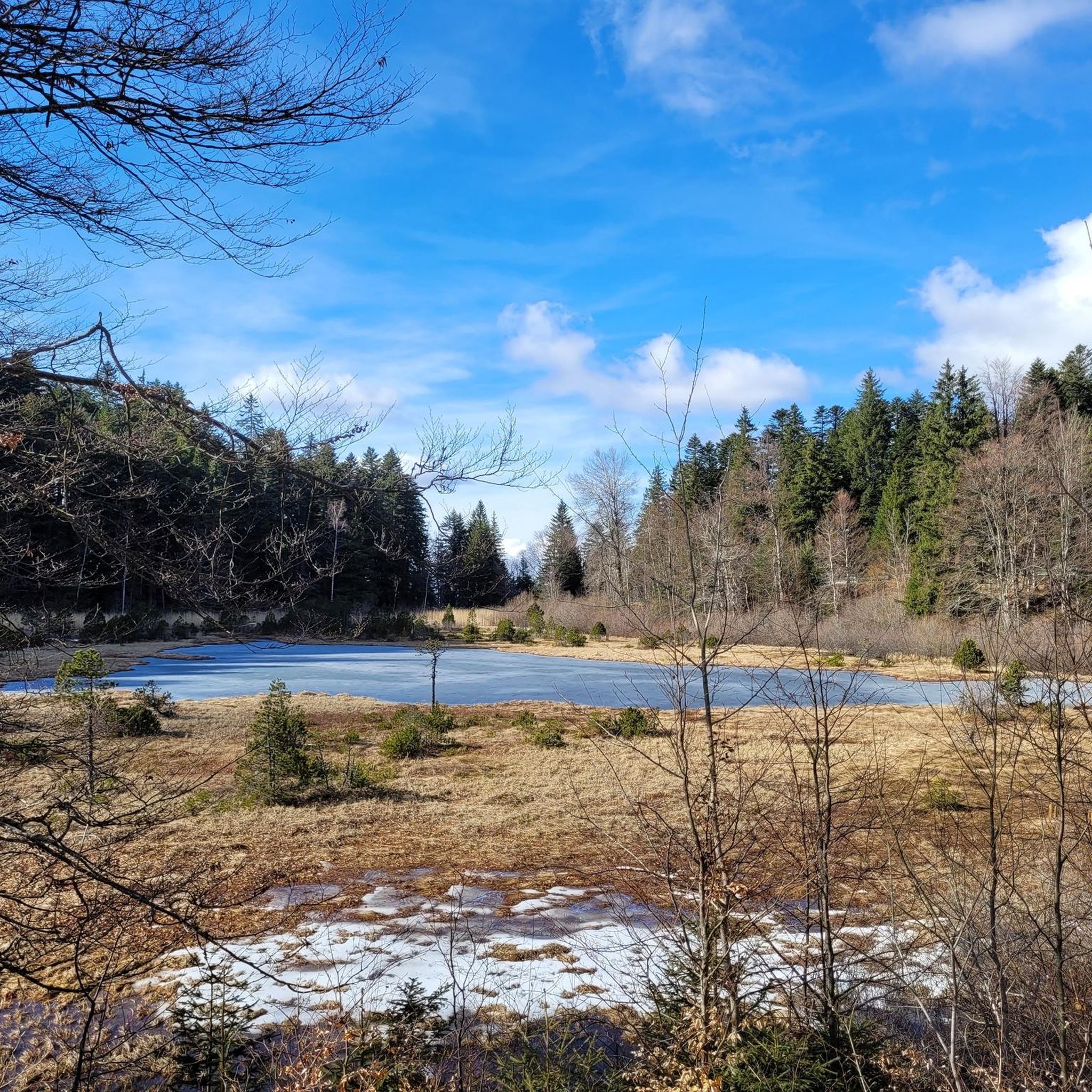
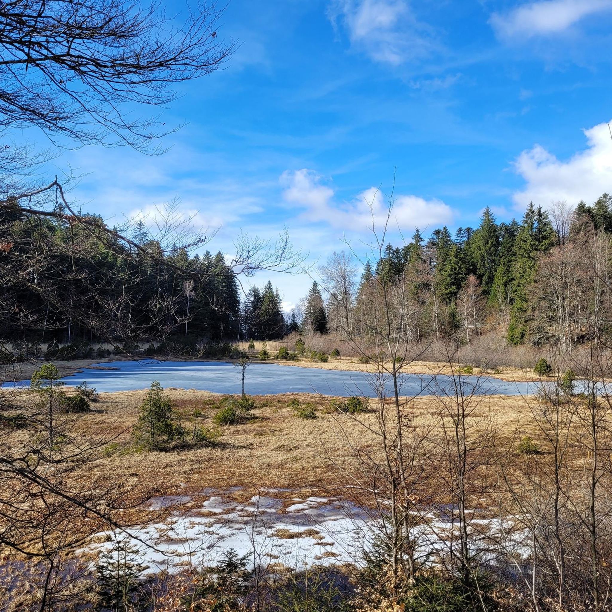


Tips from the Community

The Robert Lakes are very beautiful, and the mountain range surrounding them creates a magnificent setting. The spot seems popular with campers (arrive early for the best spot). The GR trail between Chamrousse Le Recoin and the Robert Lakes, which passes by Lac des Prouettes, is quite difficult (steep) on the Robert Lakes side. The trail higher up the mountain is easier (beware of the scree slopes for those with short legs).
1
0

Magnificent waterfall several dozen meters high which brings a lot of freshness!
0
0


small D+, and 2 to 3 hours to do it, there I was with my wife so easy climb and descent
0
0
victory of Lance Armstrong in a time trial it seems to me
2
1

Superb hike! Watch out for the fox, several tents have been visited by a fox looking for food (he takes trash bags and trash...) he has also broken tents, not far from the refuge next to Robert Lakes
1
0

After a short climb, beautiful landscapes are already visible!
0
1
Frequently Asked Questions
How many running routes are available around Séchilienne?
There are over 300 running routes available in the Séchilienne area, catering to various skill levels. The region is known for its challenging mountain trails, with a significant number of difficult routes.
Are there any easy jogging routes for beginners in Séchilienne?
While Séchilienne is primarily known for its challenging mountain terrain, there are a few easier options available. Approximately 14 routes are classified as easy, offering a gentler introduction to running in the Belledonne range.
What kind of terrain can I expect on running trails in Séchilienne?
Jogging routes around Séchilienne are characterized by the mountainous terrain of the Belledonne range. You can expect significant elevation changes, high mountain passes, alpine lakes, and forested slopes, providing a challenging and scenic environment for runners.
Are there any circular running routes in the Séchilienne area?
Yes, many routes in the region are designed as loops. For example, the Lake Achard – View of Chamrousse loop from Chamrousse offers a 30.9 km trail through mountain landscapes, while the Col de Chamrousse – View of Chamrousse loop from Chamrousse is a 22.8 km option.
What can I see along the running routes in Séchilienne?
The routes often lead to panoramic viewpoints overlooking surrounding valleys and peaks. You can also encounter beautiful alpine lakes such as Lake Achard, Lake Crozet, and the Robert Lakes. Some trails also offer views of prominent summits like La Croix de Chamrousse Summit.
Are there any running routes suitable for families in Séchilienne?
While many routes are challenging, some of the easier trails might be suitable for families looking for a less strenuous run. It's best to check the difficulty ratings and distances for specific routes to find one that matches your family's fitness level.
What do other runners enjoy most about jogging in Séchilienne?
The running routes in Séchilienne are highly rated by the komoot community, with an average score of 4.3 stars from over 160 reviews. Runners often praise the challenging mountain terrain, the stunning alpine scenery, and the panoramic viewpoints that offer breathtaking vistas of the Belledonne range.
Are there any running trails that pass by notable landmarks or attractions?
Yes, some routes offer views of or pass near significant natural landmarks. For instance, the Chamrousse 1750 - Lake Achard Trail leads through the scenic area around Lake Achard. You might also find routes that offer glimpses of peaks like Le Taillefer or Mont Aiguille.
What is the longest running route available in Séchilienne?
One of the most extensive routes is Ut4M 40 Belledonne, a demanding 46.8 km trail that traverses high mountain terrain with substantial elevation gain, typically taking over 8 hours to complete.
Are there any running routes that offer a view of a château?
Yes, the Château de Vizille – Panorama over Vizille loop from Vizille is a 16.7 km route that offers views of the historic Château de Vizille and panoramic vistas over the town.
Is Séchilienne suitable for challenging trail running?
Absolutely. Séchilienne is renowned for its challenging trail running opportunities. The majority of routes (over 230) are classified as difficult, featuring significant elevation changes and technical terrain, making it ideal for experienced trail runners seeking a demanding experience.
Most popular routes around Séchilienne
Most popular attractions around Séchilienne

Get inspired with the komoot mobile app


Explore more
Browse the best Running Trails & Routes in other regions.
