The best running trails around Branne
4.8
(44)
826
runners
90
runs
Jogging routes around Branne traverse a landscape characterized by rolling hills, vineyards, and river valleys. The region offers a mix of paved paths and unpaved trails, suitable for various running preferences. Elevation changes are generally moderate, with some routes featuring gentle climbs. The terrain primarily consists of agricultural land and wooded sections, providing varied scenery for runners.
Best jogging routes around Branne
- The most popular jogging route is Running loop from Anteuil, a 5.4 miles (8.8 km) trail that…
Last updated: October 9, 2026
5.0
(1)
6
runners
8.78km
00:58
110m
110m
Moderate run. Good fitness required. Mostly paved surfaces. Suitable for all skill levels.
4
runners
10.0km
01:03
70m
70m
Moderate run. Good fitness required. Mostly paved surfaces. Suitable for all skill levels.

7
runners
Moderate run. Good fitness required. Mostly paved surfaces. Suitable for all skill levels.
3
runners
11.0km
01:20
260m
260m
Moderate run. Good fitness required. Mostly paved surfaces. Suitable for all skill levels.
5
runners
11.3km
01:21
200m
200m
Moderate run. Good fitness required. Mostly paved surfaces. Suitable for all skill levels.
Get access to more routes and recommendations from other explorers.
Already have an account?
Our route recommendations are based on thousands of hikes, rides, and runs completed by other people on komoot.
Start today with a free account
Your next adventure awaits.

Tips from the Community

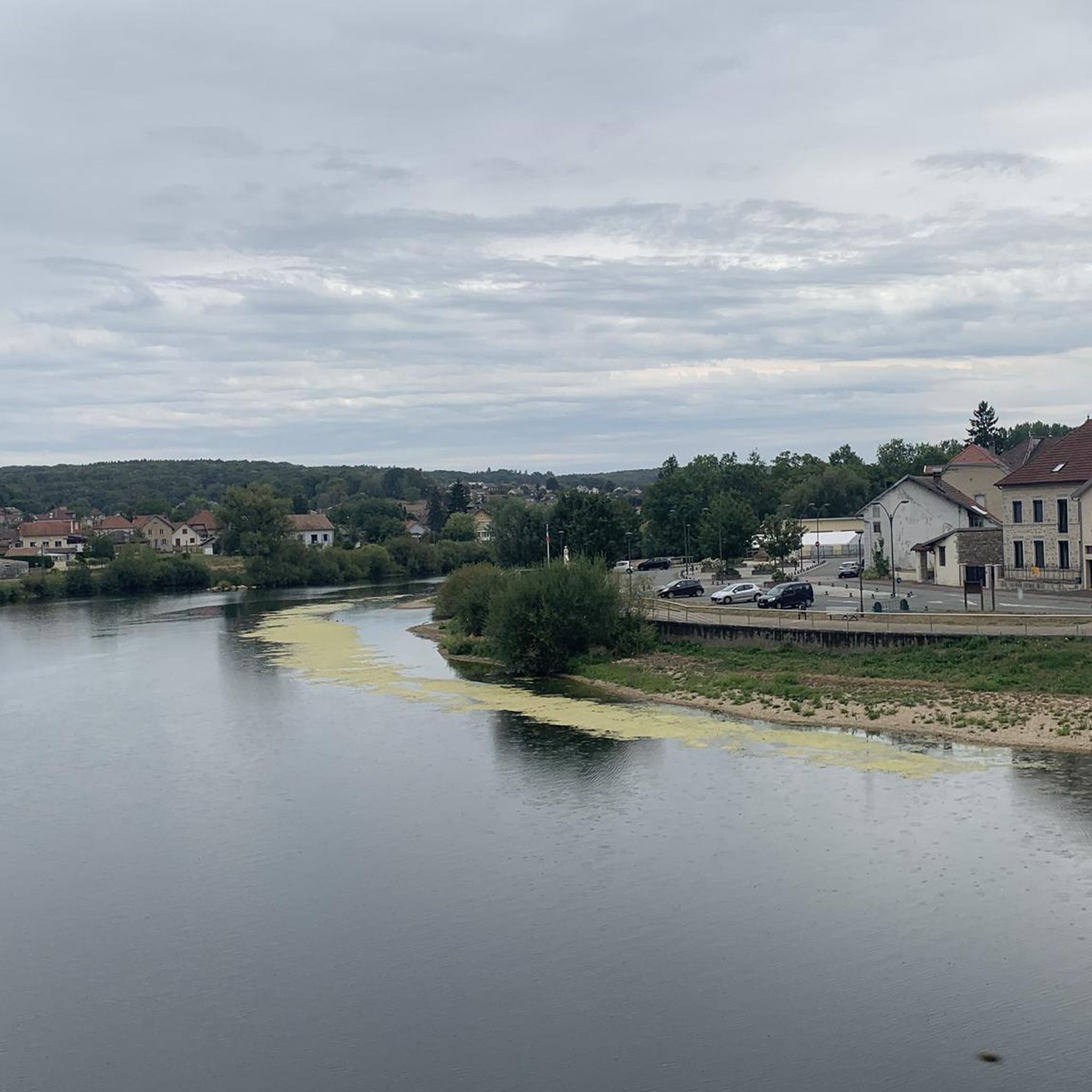
A nice campsite right on the Doubs. Just set up camp. In the evening, someone goes around and registers you. Then you pay at the cash register. I think it was around €7 for the tent. I set up a spot in the shade. The restrooms are a bit older, but when I was there to shower, someone was always there cleaning, and it was noticeable. There was a music festival in the village that evening. The birds were noisy at night, but that's nature. The next morning, we drove to the delicious bakery in the village and then moved on.
1
0

The campsite is managed by the municipality. The reception is open for 30 minutes each morning and evening. If you arrive between these hours, you can simply set up camp on a free pitch and report to reception when it opens.
0
0

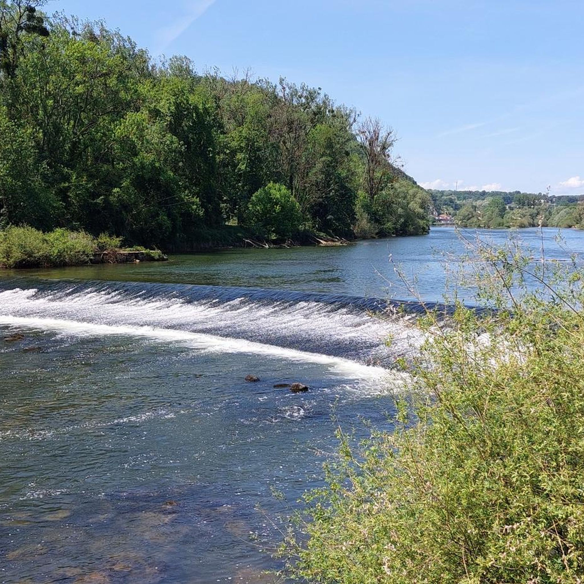
a beautiful valley near Baume-les-Dames
1
0
After Baumes-les-Dames, the route towards Germany is initially lined with rocks with large caves on the opposite side.
1
0
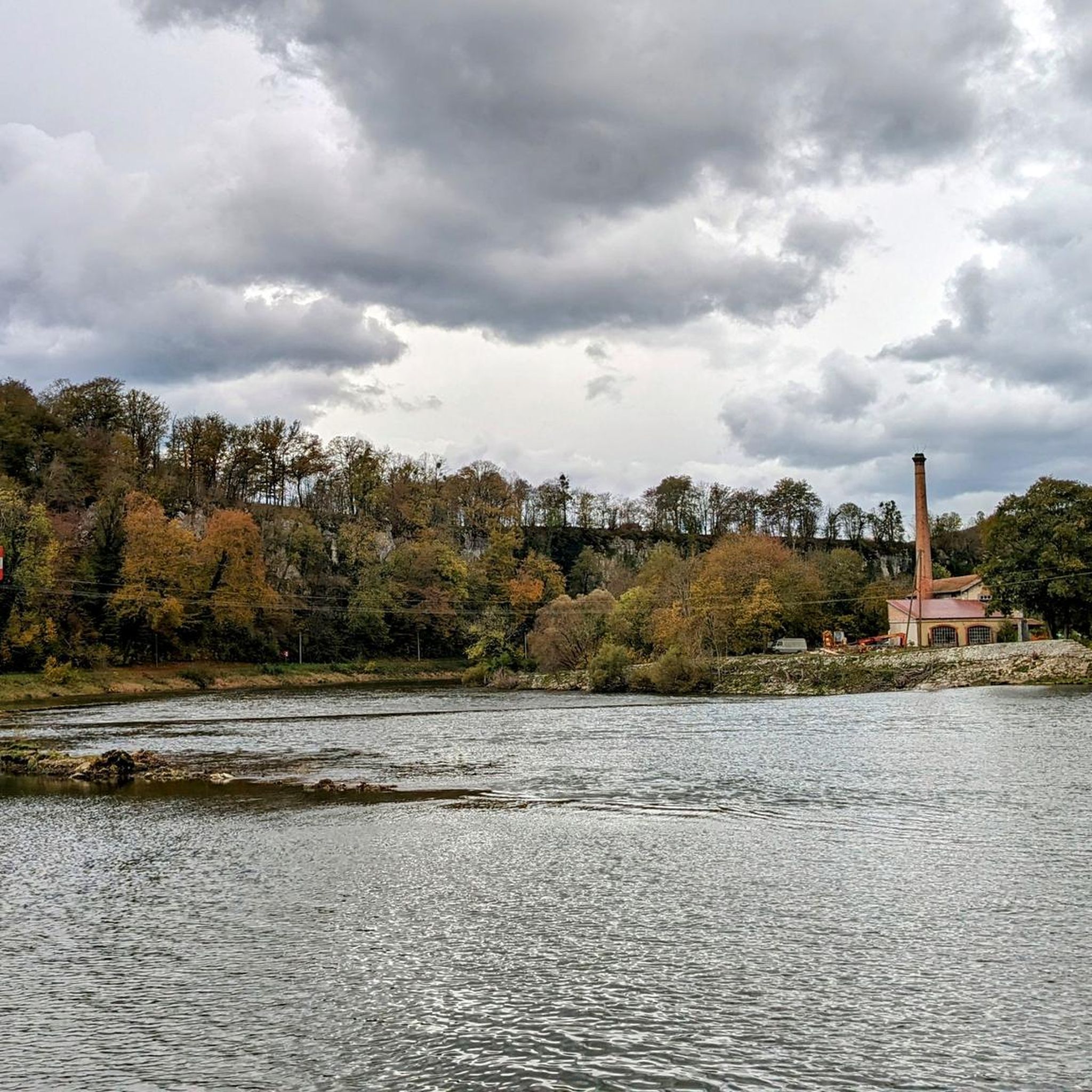
an old lock - and opposite the rocks. These are beautiful pictures!
1
0

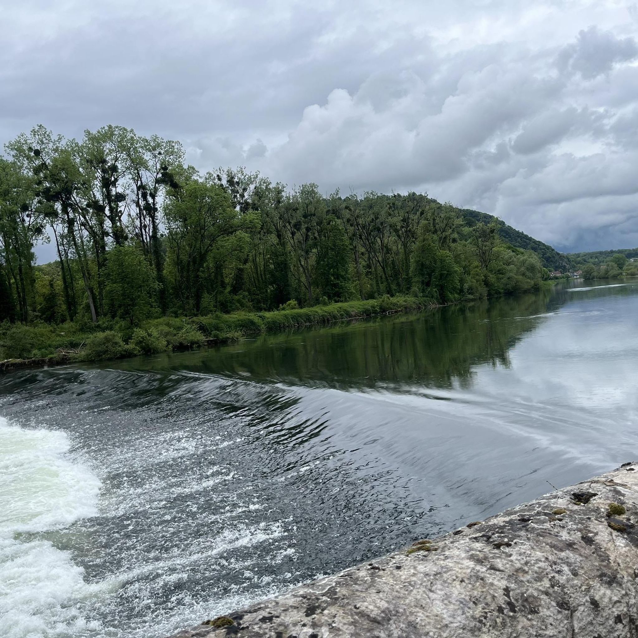
Section of EuroVelo 6 which runs along the Doubs in an incredible setting, far from any road.
0
0

Beautiful bike path and very beautiful scenery.
3
0
Beautiful scenery and very nice bike path.
3
1
Frequently Asked Questions
How many running routes are available around Branne?
Komoot offers a wide selection of running routes in the Branne area, with over 60 trails to choose from. These routes cater to various preferences, ranging from easy jogs to more challenging runs.
What is the typical length and difficulty of running routes in Branne?
Running routes in Branne vary in length and difficulty. Many are moderate, with distances often ranging from 5 to 11 kilometers. For example, the Running loop from Anteuil is 8.8 km, and the Vue sur Clerval-sur-Doubs loop from Clerval is 11.1 km. There are also over 20 more challenging routes for experienced runners.
Are there easy running trails suitable for beginners in Branne?
Yes, Branne offers several easy running trails perfect for beginners or those looking for a relaxed jog. There are 6 routes specifically rated as easy, providing gentle terrain through the region's scenic landscapes.
Can I find circular running routes in the Branne area?
Many of the running routes around Branne are designed as circular loops, allowing you to start and finish at the same point. Examples include the Running loop from Clerval and the Dolmen loop from Pompierre-sur-Doubs, which offer convenient options for exploring the area.
What kind of terrain can I expect on running trails in Branne?
The terrain around Branne is characterized by a mix of vineyard paths, river-adjacent trails, and gentle hills. You'll find both paved and unpaved sections, traversing agricultural land and wooded areas, providing varied scenery for your run.
What do other runners enjoy most about the trails in Branne?
The running trails in Branne are highly rated by the komoot community, with an average score of 4.6 stars from over 40 reviews. Runners often praise the varied terrain, the picturesque vineyard views, and the peaceful atmosphere of the countryside.
Are there any interesting landmarks or attractions to see along the running routes?
While running in Branne, you can discover several points of interest. Some routes may pass near highlights like the Bike path along the Doubs or offer views of natural features such as The Grange-Ravey cliffs. The region also features charming settlements like L'Isle-sur-le-Doubs.
When is the best time of year to go running in Branne?
Branne's mild climate makes it suitable for running throughout much of the year. Spring and autumn offer pleasant temperatures and vibrant scenery, especially through the vineyards. Summer mornings and evenings are also ideal to avoid the midday heat, while winter can provide crisp, refreshing runs.
Are the running routes in Branne dog-friendly?
Many trails in the Branne region are suitable for running with dogs, especially those that traverse natural landscapes and less populated areas. However, it's always advisable to keep your dog on a leash, especially near agricultural land or wildlife, and to check local regulations for specific routes.
Is parking generally available near the starting points of running trails in Branne?
Yes, many running routes in the Branne area, particularly those starting from villages or popular access points, typically have designated parking areas nearby. It's common to find parking in or near the small towns like Anteuil or Clerval, which serve as common starting points for routes such as the Running loop from Villers-Saint-Martin.
Can I expect to see wildlife while running in Branne?
Given Branne's landscape of vineyards, woodlands, and river valleys, it's possible to encounter various local wildlife. Keep an eye out for birds, small mammals, and insects, especially during quieter times of the day or on trails that venture deeper into natural areas.
Most popular attractions around Branne

Get inspired with the komoot mobile app


Explore more
Browse the best Running Trails & Routes in other regions.
