The best road cycling routes around Branne
4.6
(108)
2,018
riders
129
rides
Road cycling routes around Branne traverse a landscape shaped by the Doubs River, offering varied terrain for cyclists. The region features a mix of river valleys, rolling hills, and agricultural areas. Elevations can range from gentle inclines along waterways to more significant climbs, providing diverse challenges. The area's natural features include riverine paths and open countryside, suitable for road biking.
Best road cycling routes around Branne
- The most popular road cycling route is Cycle path along the Doubs – Deluz…
Last updated: October 10, 2026
4.8
(6)
173
riders
103km
04:38
810m
810m
Moderate road ride. Good fitness required. Some segments of this route may be unpaved and difficult to ride.
4.7
(6)
51
riders
54.3km
02:32
670m
670m
Moderate road ride. Good fitness required. Mostly well-paved surfaces and easy to ride.

5.0
(1)
29
riders
48.3km
01:55
190m
190m
Easy road ride. Great for any fitness level. Mostly well-paved surfaces and easy to ride.
4.3
(3)
28
riders
30.0km
01:12
120m
120m
Easy road ride. Great for any fitness level. Mostly well-paved surfaces and easy to ride.
4.0
(1)
19
riders
41.6km
01:42
230m
230m
Easy road ride. Great for any fitness level. Mostly well-paved surfaces and easy to ride.
Get access to more routes and recommendations from other explorers.
Already have an account?
Our route recommendations are based on thousands of hikes, rides, and runs completed by other people on komoot.
Start today with a free account
Your next adventure awaits.
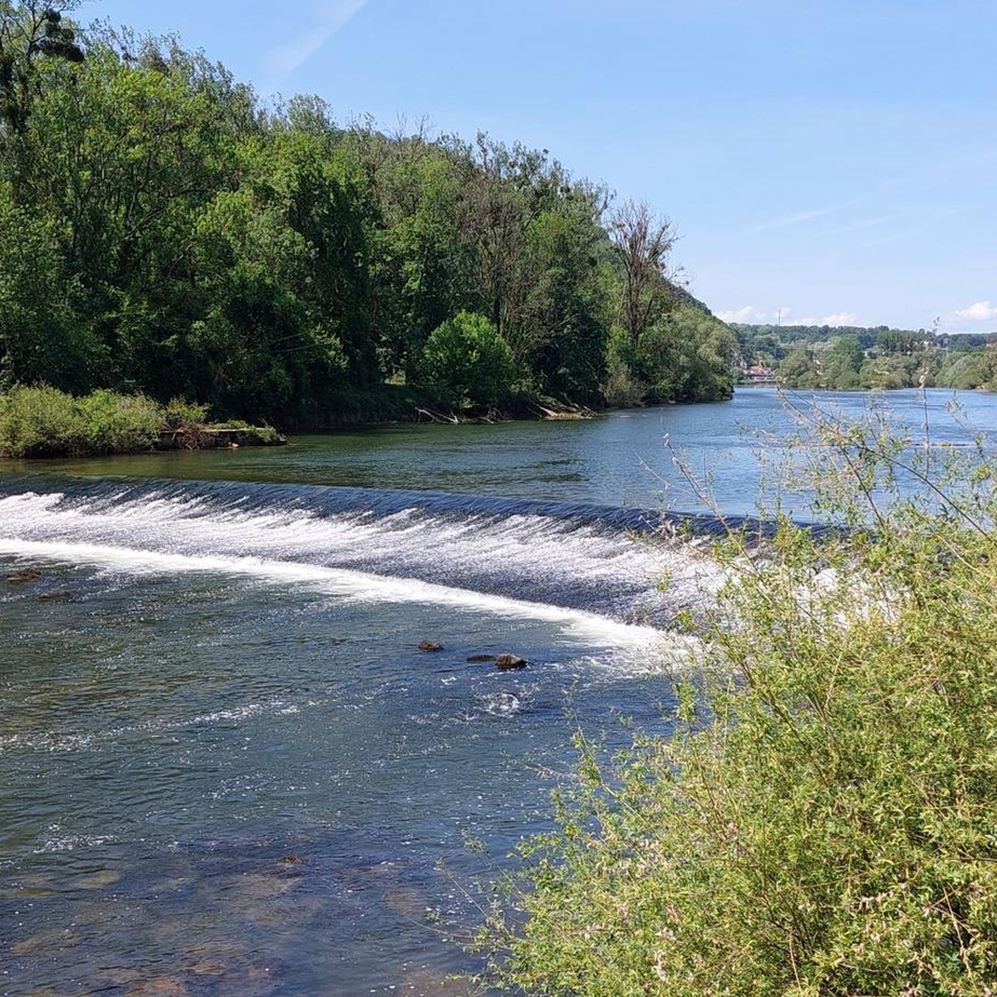

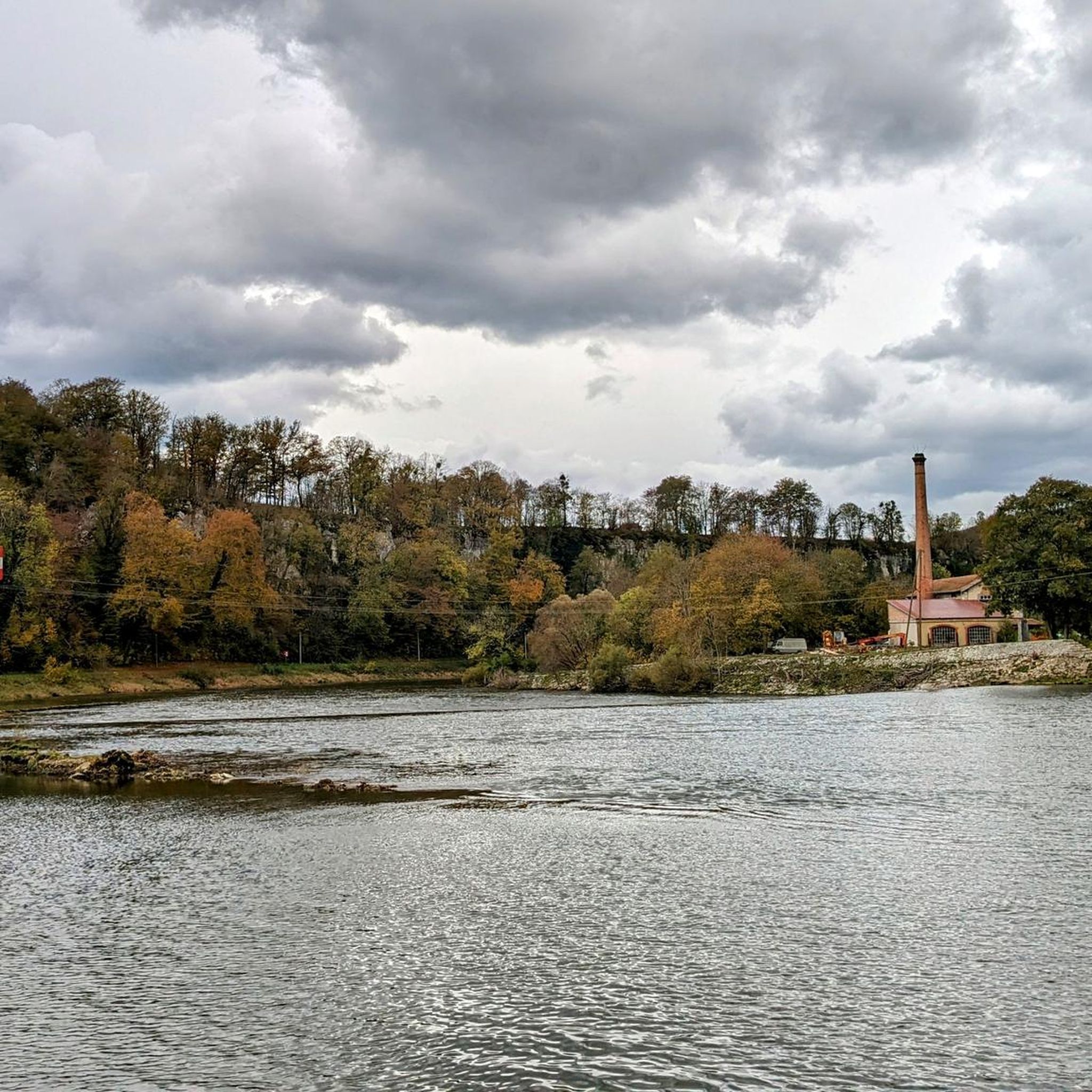
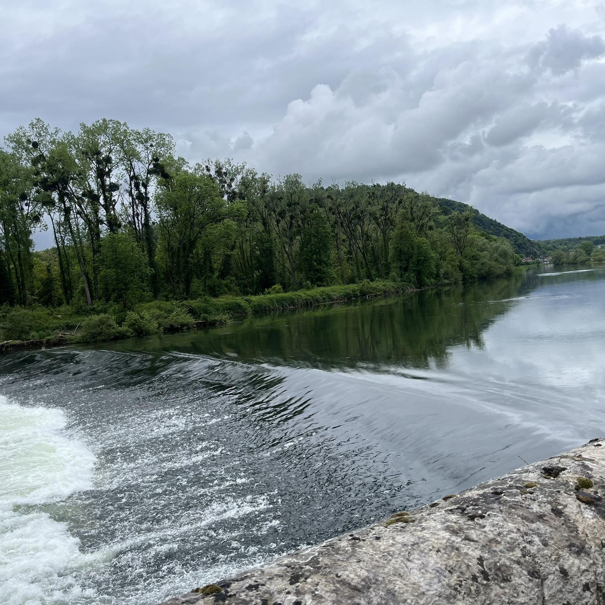
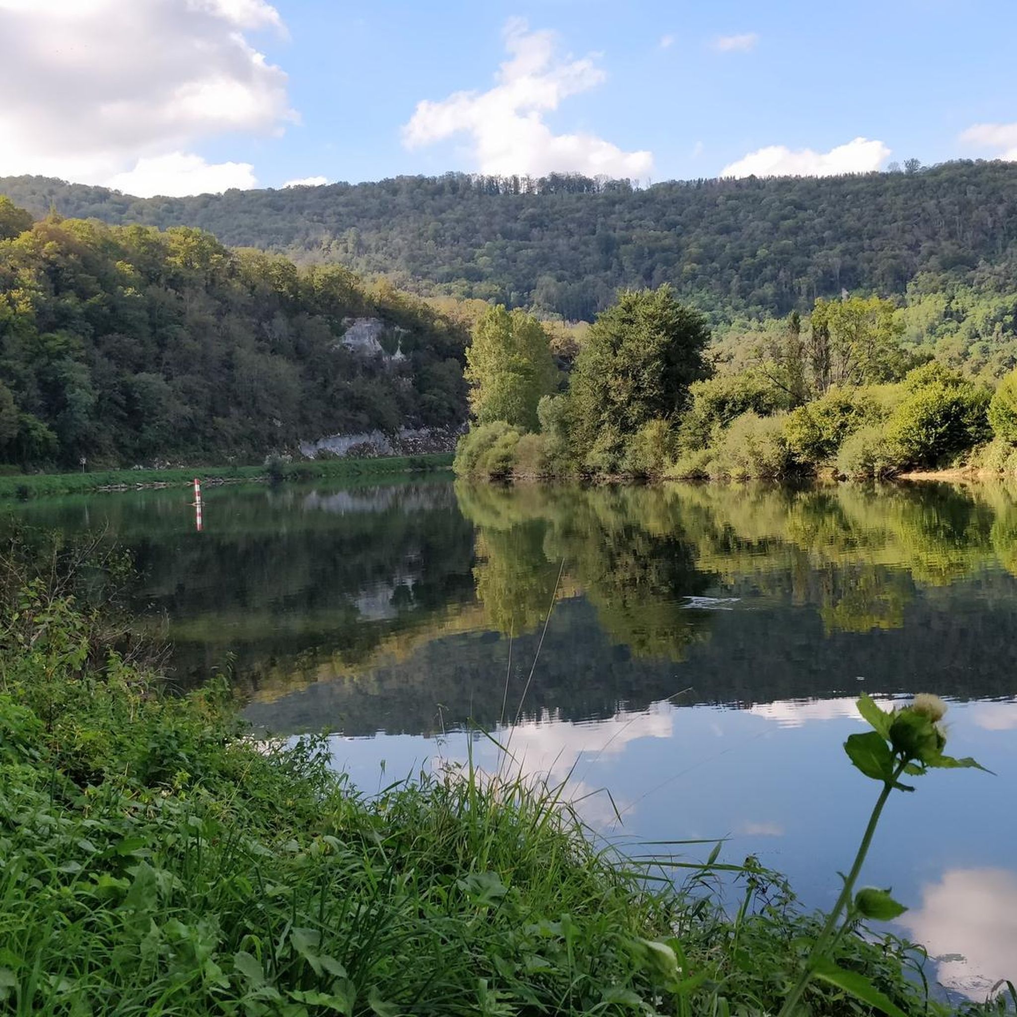
Tips from the Community

Imposing complex which is worth a visit.
0
0

This magnificent section approaching Baume-les-Dames reveals a bucolic setting. Between the Rhône-Rhine Canal and the Doubs River, it's a delight to progress through this environment.
0
0

A beautiful tour to get from Freiburg into France. Then you can follow the Rhone to the South of France or cross the Saone to the Loire. A very, very nice ride.
0
0

This former customs house contains a repair station with tools, a room with a table, and toilets, making it ideal for fetching water and picnicking, even in the rain.
0
0

The banks of the Doubs are a wonderful place for a bike ride. At this loop, the river is paralleled by the pretty Rhone-Rhine canal.
2
0

GREEN SETTING BUT DEGRADED ROAD SURFACE
0
0
roads along the Doubs
0
0

Quaint view across the old canal locks in this historic town on the Doubs river.
1
1
Frequently Asked Questions
How many road cycling routes are available around Branne?
There are over 120 road cycling routes around Branne, offering a wide variety of options for different skill levels and preferences. The komoot community has explored these routes over 2,000 times.
Are there easy road cycling routes suitable for beginners in Branne?
Yes, Branne offers several easy road cycling routes perfect for beginners. For instance, the Relais du Petit Doubs loop from Clerval is an easy 29.8-mile (48.0 km) route with minimal elevation gain, ideal for a relaxed ride.
What are the options for advanced road cyclists seeking a challenge in Branne?
Advanced road cyclists will find plenty of challenging routes in Branne, with nearly 30 difficult trails available. A notable option is the Cycle path along the Doubs – Deluz Lock loop from Clerval, an 89.7-mile (144.4 km) route featuring significant elevation gain along the Doubs River.
What kind of terrain can I expect on road cycling routes in Branne?
Road cycling routes around Branne traverse a diverse landscape shaped by the Doubs River. You can expect a mix of river valleys, rolling hills, and open agricultural areas. Elevations vary from gentle inclines along waterways to more significant climbs, providing varied challenges.
Are there circular road cycling routes in Branne?
Yes, many road cycling routes in Branne are circular, allowing you to start and end at the same point. An example is the Bike path along the Doubs – Cycle path along the Doubs loop from Clerval, a moderate 26.0-mile (41.9 km) path that follows the Doubs River.
What are some scenic viewpoints or attractions along the road cycling routes in Branne?
The region offers several scenic spots. You can cycle along the Bike path along the Doubs, or explore areas near the The Grange-Ravey cliffs and Rochers de Sous-Buen for impressive views. The Boucle du Doubs at Baume-les-Dames is another beautiful natural feature.
What do other road cyclists enjoy most about road cycling in Branne?
The road cycling routes in Branne are highly rated by the komoot community, with an average score of 4.5 stars from over 90 reviews. Cyclists often praise the varied terrain, the scenic river valleys, and the options available for all ability levels.
Are there any road cycling routes that pass through the Cusancin Valley?
Yes, the Cycle path along the Doubs – CUSANCIN VALLEY loop from Clerval is a popular 33.3-mile (53.6 km) route that leads directly through the picturesque Cusancin Valley, offering a pleasant and engaging ride.
What is the typical elevation gain on road cycling routes in Branne?
Elevation gain varies significantly across routes in Branne. While some easy routes have minimal climbs, more challenging routes like the Beautiful view loop from Clerval can feature over 3,000 feet (900 meters) of ascent, providing a good workout for experienced riders.
How long do road cycling trails near Branne typically take to complete?
The duration of road cycling trails in Branne varies widely depending on the route's length and difficulty. Shorter, moderate routes like the Bike path along the Doubs – Cycle path along the Doubs loop from Clerval can be completed in about 2 hours, while longer, difficult routes may take over 6 hours.
Is Branne a good destination for road biking in summer?
Branne is generally suitable for road biking in summer, with its riverine paths and open countryside. However, it's always advisable to check local weather forecasts and plan your rides for cooler parts of the day, especially during peak summer heat.
Most popular attractions around Branne

Get inspired with the komoot mobile app


Explore more
Browse the best Road cycling routes in other regions.
