The best mountain hikes around Grésy-Sur-Isère
4.8
(6)
42
hikers
2
hikes
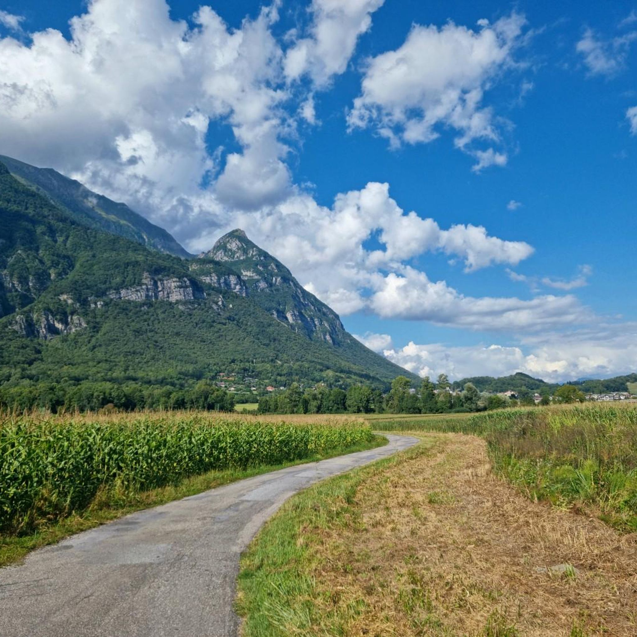
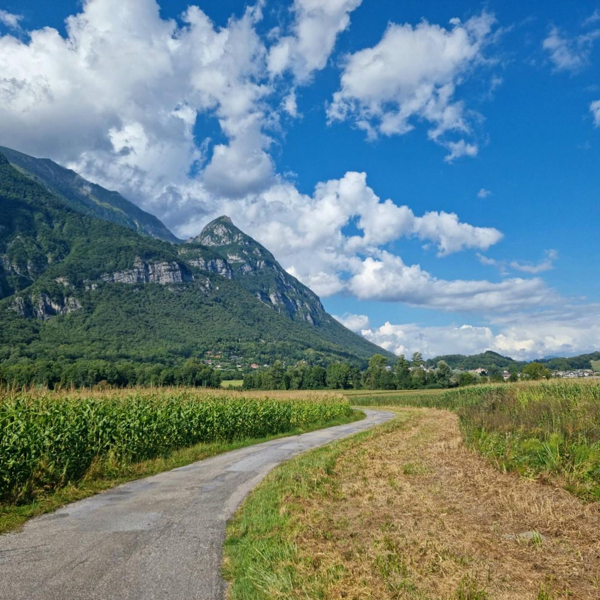
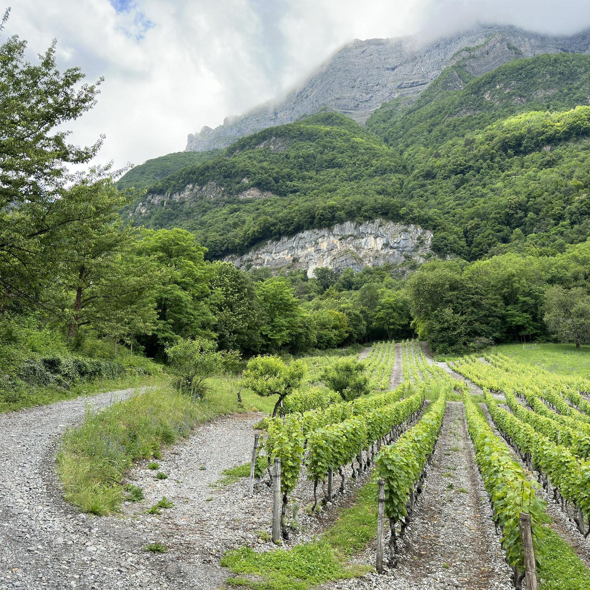
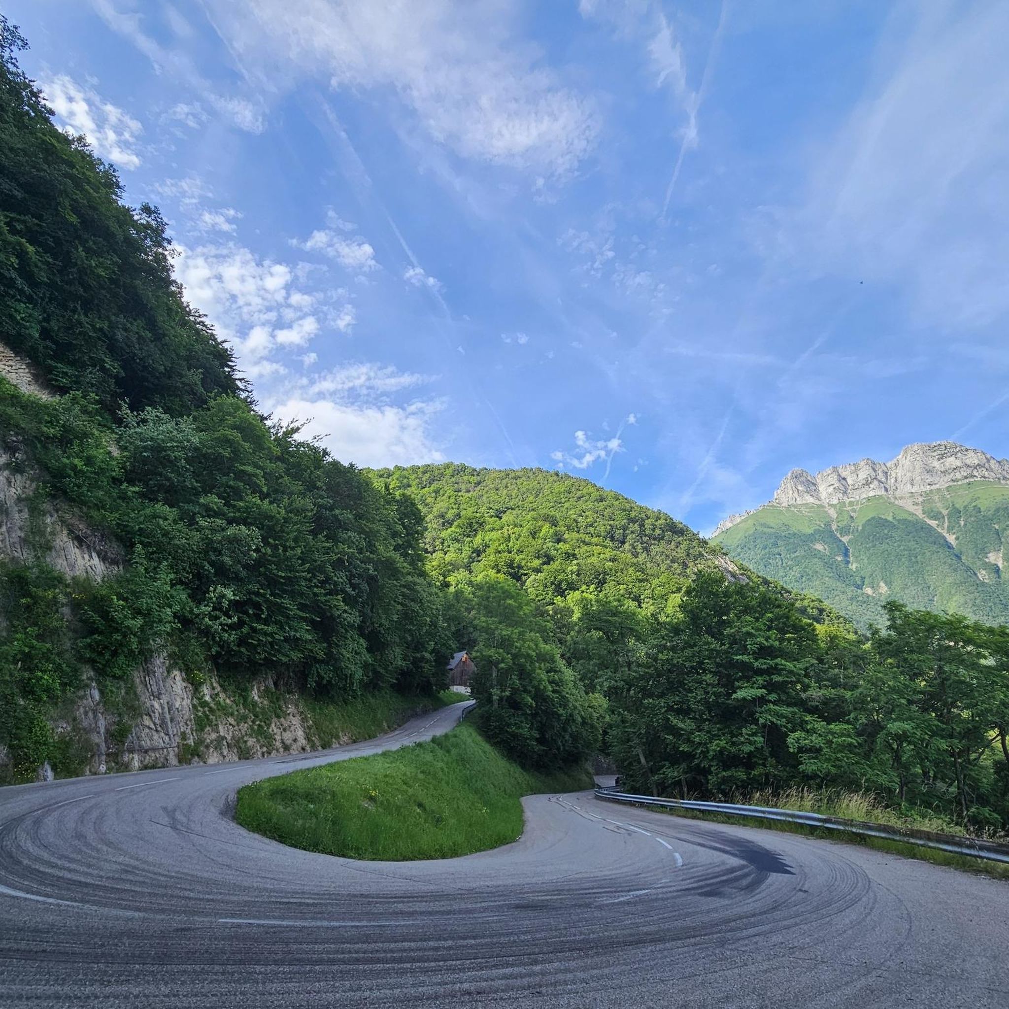
Mountaineering routes around Grésy-Sur-Isère are situated within the diverse mountainous landscapes of the Savoie department, particularly on the southeastern flank of the Massif des Bauges, a pre-Alpine mountain range. The region features high peaks such as Pointe des Arces (2,076 m) and Mont Trélod (2,181 m), alongside the plains of the Isère Valley. This varied terrain offers a range of mountaineering challenges, from demanding ascents to routes through forested slopes and alpine pastures.
Best mountaineering routes around Grésy-Sur-Isère
- The most…
Last updated: October 18, 2026
3
hikers
14.8km
07:09
1,260m
1,260m
Hard mountaineering route. Very good fitness required. Sure-footedness, sturdy shoes and alpine experience required.
5.0
(1)
8
hikers
6.05km
03:44
690m
690m
Moderate mountaineering route. Good fitness required. Mostly accessible paths. Sure-footedness required.

4.0
(2)
9
hikers
10.8km
05:15
810m
820m
Hard mountaineering route. Very good fitness required. Mostly accessible paths. Sure-footedness required.
6
hikers
8.85km
04:41
790m
790m
Moderate mountaineering route. Good fitness required. Mostly accessible paths. Sure-footedness required.
5.0
(1)
3
hikers
8.36km
04:17
700m
710m
Hard mountaineering route. Good fitness required. Sure-footedness, sturdy shoes and alpine experience required.
Our route recommendations are based on thousands of hikes, rides, and runs completed by other people on komoot.
Start today with a free account
Your next adventure awaits.

Tips from the Community

Very beautiful hike to a beautiful view. You go through a protected area where dogs are not allowed. So pay attention to this.
0
0

A remarkable viewpoint, ideal for admiring the Bauges mountains and Mont Blanc in the distance.
0
0

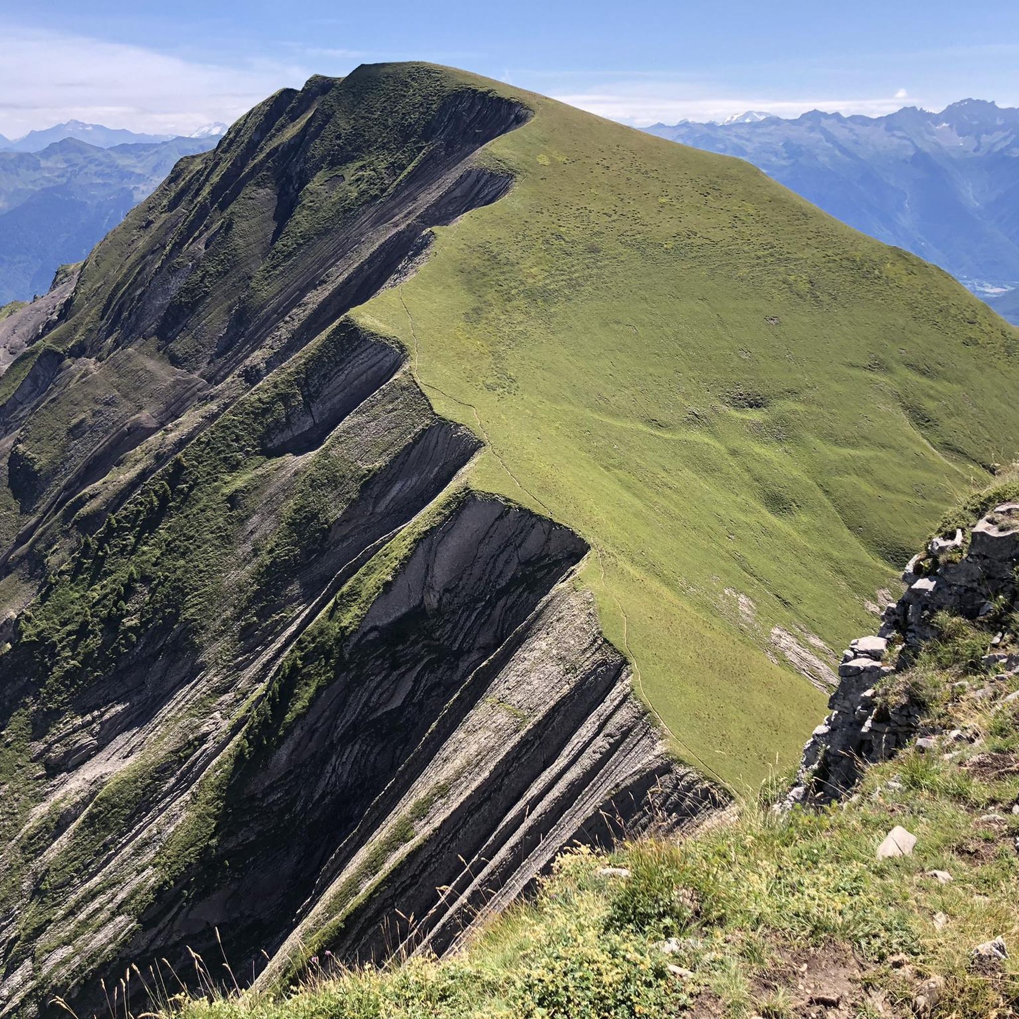
Amazing views on mount blanc, lac d’ annecy and more beautiful landscape! 😍 Attention, only take the path across the ridge to the chalet de L’Alpettaz if you are a really experienced hiker and like to get some adrenaline. It is super narrow and partly really dangerous. After finishing the dangerous part there is high grass through which the hike continues.
1
0

Chalet under renovation but part of it nevertheless provides shelter.
0
0
Access is quite physical but you are largely rewarded by the sumptuous 360° landscapes once at the top 🤩
1
0

Very nice view with an outstanding 360° Alpine panorama! Coming from the north via Le pas de l'âne, don't underestimate the difficulty of the ridge. At the end of February there was still a lot of snow and the fuses are not in place over the entire length. In parts, the hike has more of a via ferrata character. The ridge is sometimes very narrow and it feels like several hundred meters down to the left and right. But if you are prepared for it and are used to challenging terrain, then it is a super nice hike and absolutely recommendable!
0
0

The "summit" is unspectacular, as it is almost at the edge of the road. But the view is bombastic and this is where the (optional) ascent to the Colombier begins.
0
0
To me it looked more like abandoned, dilapidated barns :D But it was probably also because I was out and about at the beginning of November and meanwhile there is no longer any business there.
0
0
Frequently Asked Questions
How many mountaineering routes are available around Grésy-Sur-Isère?
There are several mountaineering routes around Grésy-Sur-Isère, offering diverse challenges within the Massif des Bauges. The komoot community has explored over 5 routes in this area, ranging from moderate to difficult.
What kind of terrain can I expect on mountaineering routes near Grésy-Sur-Isère?
Mountaineering routes around Grésy-Sur-Isère traverse varied terrain, from the pre-Alpine ranges of the Massif des Bauges to forested slopes and alpine pastures. You'll encounter high peaks like Pointe des Arces and Mont Trélod, offering both demanding ascents and scenic paths.
Are there any moderate mountaineering routes suitable for those building experience?
Yes, there are moderate routes perfect for developing your mountaineering skills. For instance, the Col d'Orgeval loop from Réserve biologique intégrale du Haut Chéran is a moderate 6.6-mile trail that takes around 4 hours 18 minutes to complete. Another option is the Colombier – Col de la Cochette loop from Chartreuse d'Aillon, which is 5.5 miles long and also rated moderate.
Which routes offer more challenging ascents for experienced mountaineers?
For experienced mountaineers seeking a challenge, the region offers several difficult routes. The Mont Trélod (2,181 m) loop from Doucy-en-Bauges is a demanding 10.1-mile path ascending to a prominent summit with extensive views. Another difficult option is the Aillon Dovecote loop from Parking de Praz Gelaz, a 6.7-mile trail through varied alpine terrain.
What are some notable natural features or landmarks I might see on these routes?
The region is rich in natural beauty and landmarks. You might encounter various mountain passes such as Col du Frêne, Tamié Pass, or Chérel Pass. The area also features the Lac de Grésy-sur-Isère, known for its recreational activities, and the Isère Valley with its breathtaking views.
Are there any cultural or historical points of interest near the mountaineering trails?
Yes, beyond the natural landscapes, you can find cultural sites. The Notre-Dame de Tamié Abbey is a significant religious building located near some of the mountain passes, offering a glimpse into the region's heritage.
What do other mountaineers say about the routes around Grésy-Sur-Isère?
The mountaineering routes around Grésy-Sur-Isère are highly regarded by the komoot community, with an average rating of 4.1 stars from over 9 reviews. Users often praise the diverse terrain and the rewarding views from the peaks.
Is it possible to find circular mountaineering routes in the area?
Yes, many of the mountaineering routes in the Grésy-Sur-Isère area are designed as loops, allowing you to start and finish at the same point. Examples include the Col d'Orgeval loop and the Mont Trélod loop, providing convenient options for your adventure.
What is the best time of year for mountaineering in this region?
The mountainous terrain around Grésy-Sur-Isère is suitable for outdoor activities throughout the year. While summer offers ideal conditions for high-altitude mountaineering, the region also transforms into a playground for ski touring and snowshoeing in winter. Always check local weather conditions before heading out.
Are there any routes that offer panoramic views of the surrounding mountains and lakes?
Absolutely. The region is renowned for its breathtaking 360° views. Routes leading to higher elevations, such as the Mont Trélod (2,181 m) loop, provide extensive panoramas of the surrounding mountains, including the Massif des Bauges and potentially glimpses of distant lakes like Lac d'Annecy.
Are there any routes that are particularly long or require a full day's effort?
For a full day's effort, the Mont Trélod (2,181 m) loop from Doucy-en-Bauges is a challenging 10.1-mile route with significant elevation gain, typically requiring a substantial portion of the day to complete. It's ideal for those looking for an extended mountaineering experience.
Most popular routes around Grésy-Sur-Isère
Most popular attractions around Grésy-Sur-Isère

Get inspired with the komoot mobile app


Explore more
Browse the best Mountain Hikes & Routes in other regions.
