The best walks and hikes around Grésy-Sur-Isère
4.6
(397)
5,633
hikers
126
hikes
Hiking around Grésy-Sur-Isère, located in the Savoie department, offers a varied landscape for outdoor activities. The region serves as a gateway to the Massif des Bauges, a natural park characterized by mountain peaks and diverse trails. The area features the Isère valley, providing a mix of terrain from accessible paths to more challenging alpine routes. Trails range from gentle strolls around the Lac de Grésy-sur-Isère to demanding ascents in the surrounding massifs.
Best hiking trails around Grésy-Sur-Isère
- The most popular…
Last updated: July 1, 2026
4.6
(10)
162
hikers
18.3km
07:58
1,310m
1,310m
Hard hike. Very good fitness required. Mostly accessible paths. Sure-footedness required.
4.7
(6)
160
hikers
13.5km
07:37
1,270m
1,270m
Hard hike. Very good fitness required. Sure-footedness, sturdy shoes and alpine experience required.

Sign up for free
3.8
(4)
60
hikers
16.4km
06:30
1,080m
1,090m
Hard hike. Very good fitness required. Mostly accessible paths. Sure-footedness required.
4.3
(4)
24
hikers
4.12km
01:24
190m
190m
Moderate hike. Great for any fitness level. Mostly accessible paths. Sure-footedness required.
5.0
(2)
51
hikers
17.2km
08:44
1,420m
1,420m
Hard hike. Very good fitness required. Mostly accessible paths. Sure-footedness required.
Get access to more routes and recommendations from other explorers.
Sign up for free
Already have an account?
Our route recommendations are based on thousands of hikes, rides, and runs completed by other people on komoot.
Start today with a free account
Your next adventure awaits.
Login or Signup
Tips from the Community

Hello, point 1 is not the Col d'Orgeval, but under Chaurionde. It would have been wise to mention the Aulp de Seythenex as point 1, as 2 under Chaurionde and so on....
0
0

A relaxing place, with a fountain for drinking! Great stop when you come back from Pecloz and you are very tired!
0
0

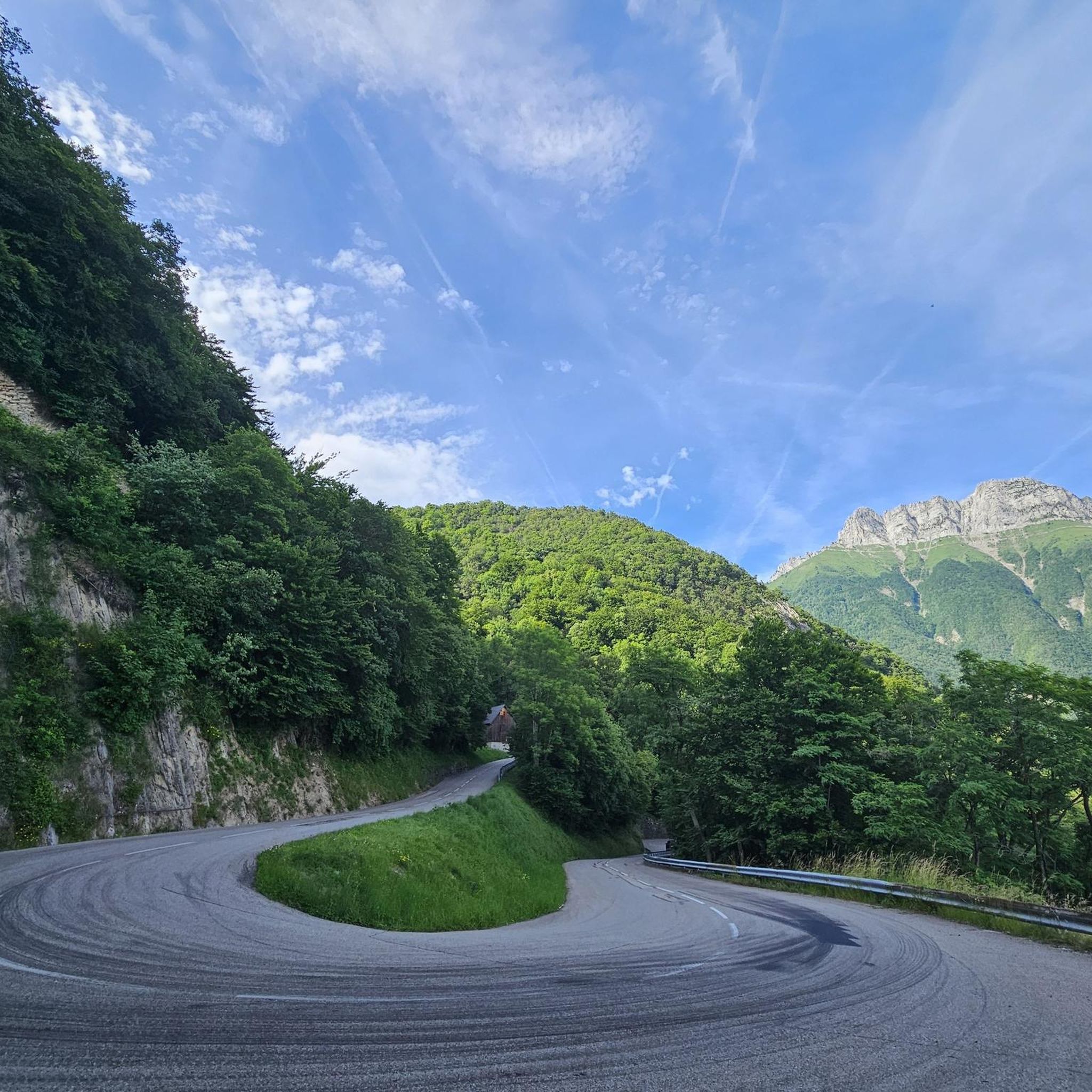
A nice dual carriageway.
0
0
Small chapel in the middle of nature.
0
0
A beautiful peak at 1919m, near the Refuge d'Orgeval.
0
0
One of the summits above 2000m in the Bauges. Possibility of chaining the Mont Pécloz.
0
0
A pretty alpine chalet at the foot of the Pointe d'Arcalod. It is possible to eat and stay there.
1
0
Frequently Asked Questions
How many hiking trails are available around Grésy-Sur-Isère?
Grésy-Sur-Isère offers a wide selection of hiking opportunities, with over 120 trails to explore. These routes cater to various skill levels, from gentle strolls to challenging mountain ascents within the Massif des Bauges.
Are there any easy hiking trails suitable for families or beginners?
Yes, Grésy-Sur-Isère has nearly 20 easy trails perfect for families and beginners. A good option is the circuit around the Lac de Grésy-sur-Isère, which allows you to explore the historical village and the lake. For a slightly longer moderate option within the Massif des Bauges, consider the La Chapelle Notre-Dame de Bellevaux - Massif des Bauges - Loop, which is about 4.1 km.
What kind of landscapes can I expect to see while hiking in this region?
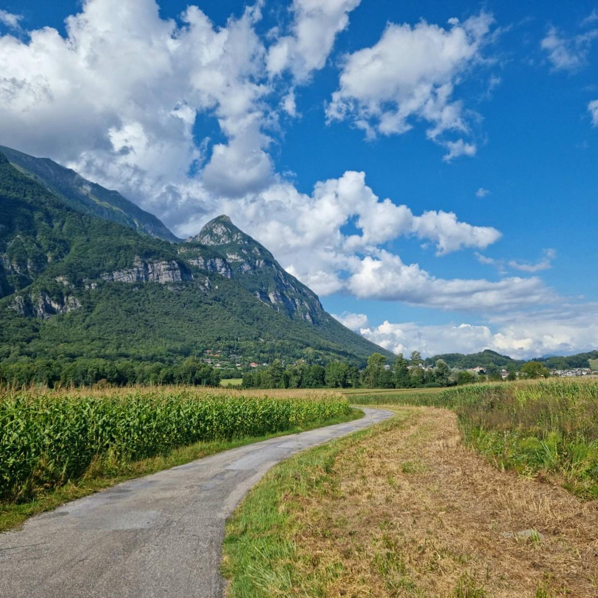
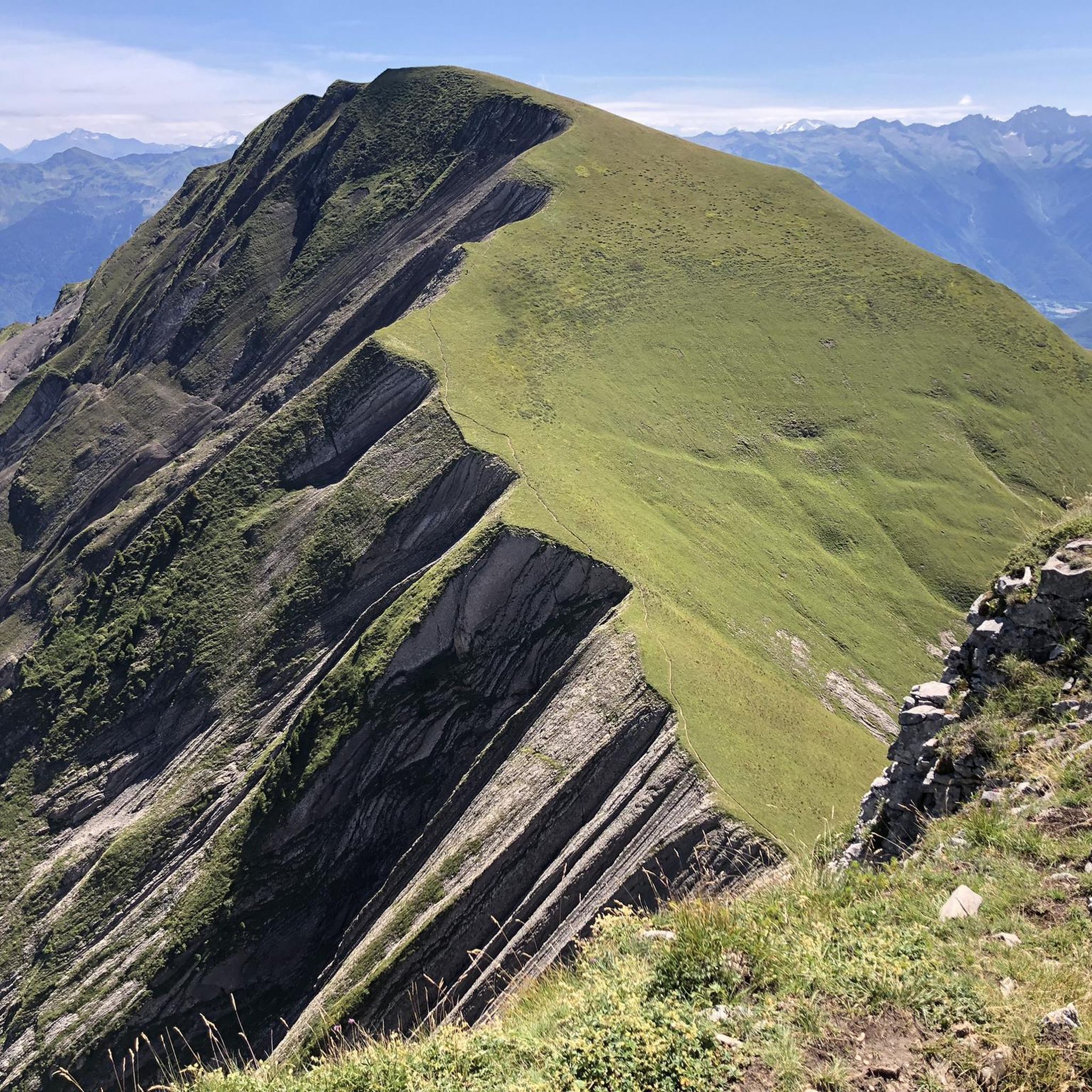
The region around Grésy-Sur-Isère is characterized by its diverse landscapes. You'll find everything from the serene Isère valley to the dramatic peaks of the Massif des Bauges. Expect lush green pastures, dense forests, and breathtaking panoramic views from higher elevations, including glimpses of Lake Annecy and Mont Blanc on clear days.
Are there any circular hiking routes in Grésy-Sur-Isère?
Many of the trails around Grésy-Sur-Isère are designed as circular routes, allowing you to start and end at the same point. For instance, the challenging Mont de la Coche - Massif des Bauges - Loop is a popular circular option for experienced hikers, offering stunning views over 16.4 km.
What are some notable natural attractions or landmarks to look out for?
The area is rich in natural beauty and points of interest. You can explore various mountain peaks offering incredible vistas, such as Mont Colombier or Mount de la Coche. The region also features charming mountain huts like the Orgeval Refuge, which can serve as rest stops or destinations themselves.
Can I observe wildlife on the hiking trails?
Yes, the natural environment around Grésy-Sur-Isère, especially within the Massif des Bauges Regional Natural Park and protected areas, provides opportunities to spot local fauna. Keep an eye out for marmots, chamois, and ibex, particularly on trails leading to higher elevations like the Pointe de la Fougère.
What is the best time of year to go hiking in Grésy-Sur-Isère?
The best time for hiking in Grésy-Sur-Isère is generally from spring through autumn (May to October) when the weather is mild, and the trails are clear of snow. Summer offers warmer temperatures and longer daylight hours, while spring and autumn provide beautiful flora and vibrant fall colors, respectively. Some lower-altitude trails may be accessible in winter, but higher routes require specific gear and experience.
Are there any challenging hikes for experienced trekkers?
Absolutely. For experienced trekkers, the region offers several demanding routes. The Mont d'Armenaz - Massif des Bauges - Loop is a challenging 13.5 km hike with significant elevation gain, providing a strenuous experience. Another option is the Orgeval Refuge – Col d'Orgeval loop, a difficult 10.7 km route through the beautiful Orgeval valley.
What do other hikers say about the trails in Grésy-Sur-Isère?
The trails in Grésy-Sur-Isère are highly regarded by the komoot community, with an average rating of 4.6 stars from over 400 reviews. Hikers often praise the stunning panoramic views, the well-maintained paths, and the diverse range of landscapes, from serene valleys to challenging mountain ascents.
Are there opportunities for wild swimming near the hiking trails?
While specific wild swimming spots directly adjacent to hiking trails are not explicitly highlighted, the region's proximity to natural water bodies like the Lac de Grésy-sur-Isère and the broader Isère region with its rivers and streams suggests potential opportunities. Always check local regulations and safety guidelines before attempting any wild swimming.
Is parking available at the trailheads?
Parking is generally available at or near the trailheads for many popular routes in the Grésy-Sur-Isère area, especially those leading into the Massif des Bauges. It's advisable to check specific route details or local signage for designated parking areas, particularly during peak hiking seasons.
Most popular routes around Grésy-Sur-Isère
Most popular attractions around Grésy-Sur-Isère

Get inspired with the komoot mobile app


Explore more
Browse the best Hikes in other regions.
