The best road cycling routes around Birx
4.7
(157)
1,639
riders
108
rides
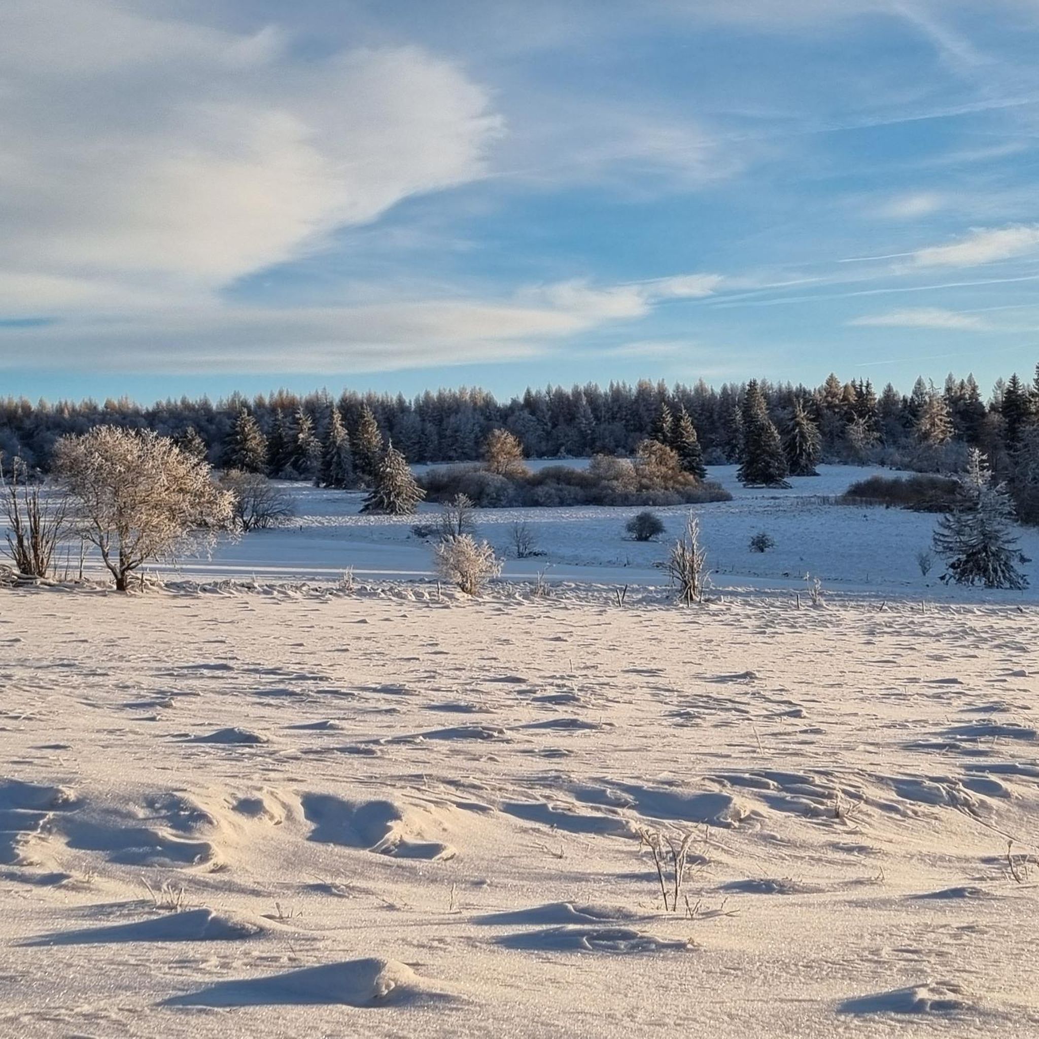
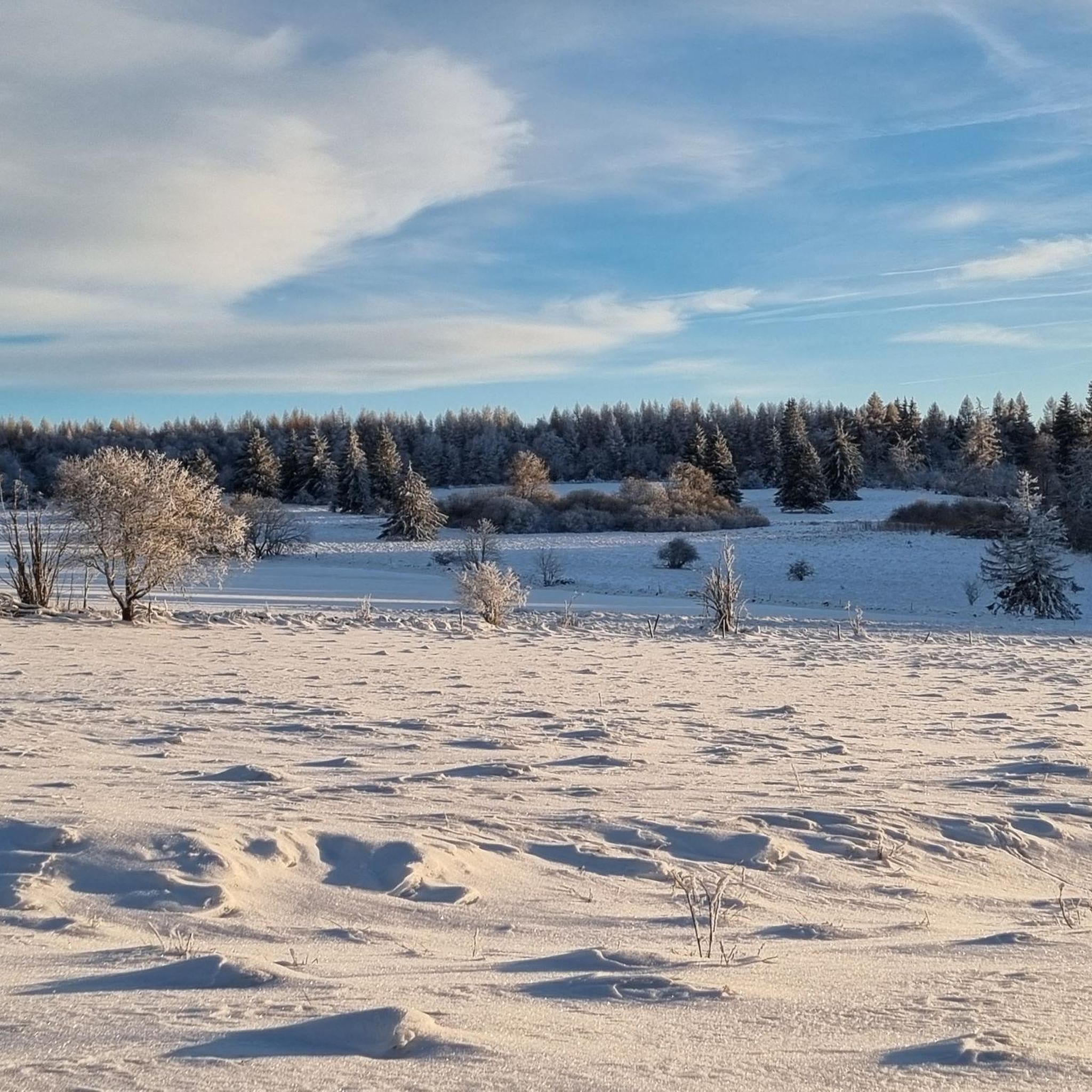
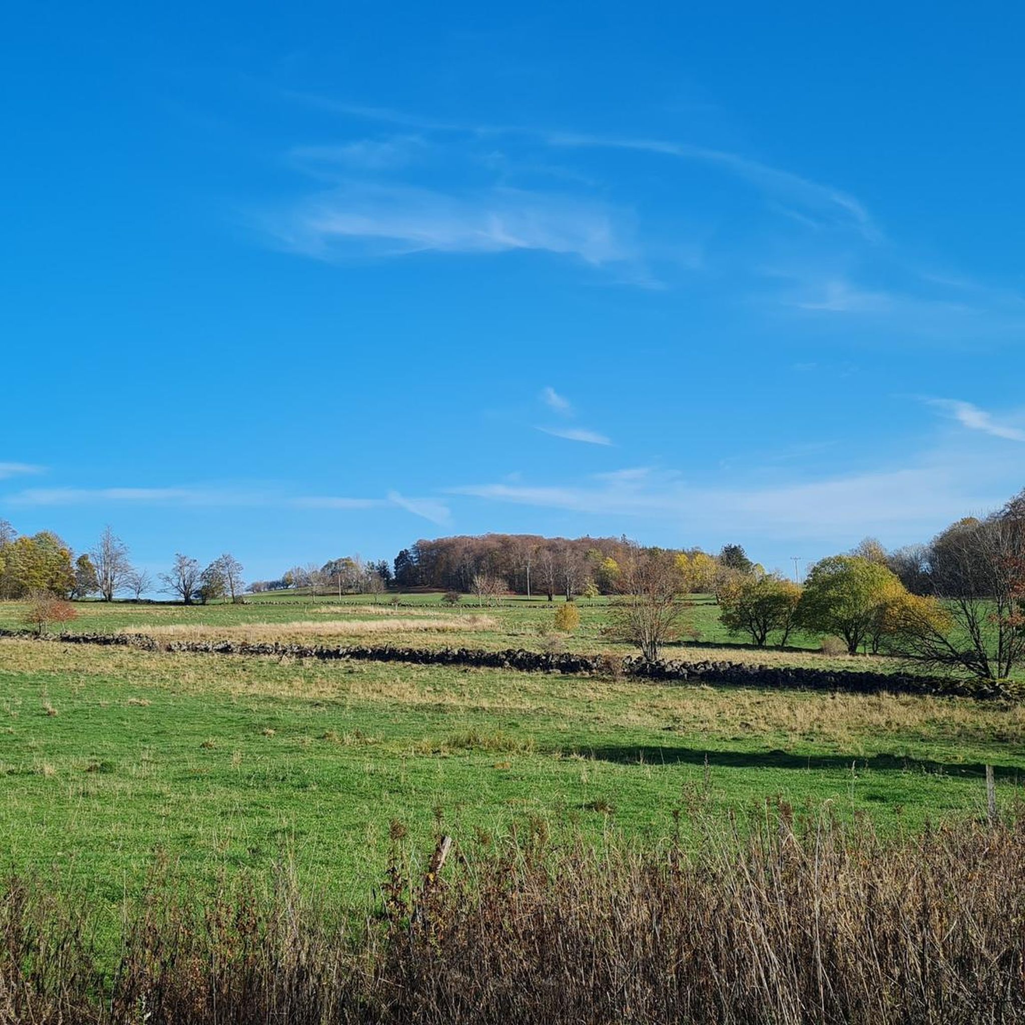
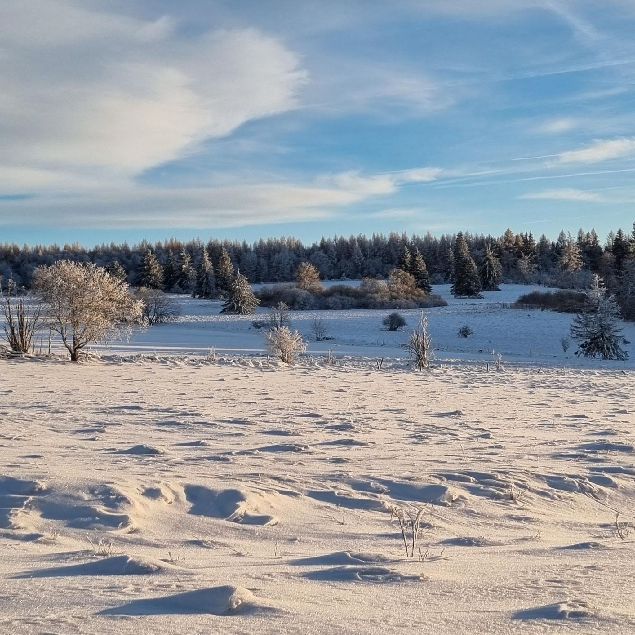
Road cycling routes around Birx are characterized by the rolling hills and varied terrain of the Rhön region. The area features a mix of open landscapes, forested sections, and ascents towards notable summits. Road cyclists can expect routes that traverse villages and offer views across the surrounding countryside. The elevation changes provide a dynamic cycling experience.
Best road cycling routes around Birx
- The most popular road cycling route is Thaiden Village – Former Hilders Train Station loop from Birx,…
Last updated: October 9, 2026
4.0
(2)
31
riders
26.5km
01:19
330m
330m
Moderate road ride. Good fitness required. Some segments of this route may be unpaved and difficult to ride.
10
riders
34.1km
01:48
590m
590m
Moderate road ride. Good fitness required. Mostly well-paved surfaces and easy to ride.

6
riders
59.8km
03:17
1,250m
1,250m
Hard road ride. Very good fitness required. Some segments of this route may be unpaved and difficult to ride.
9
riders
62.9km
03:03
850m
850m
Moderate road ride. Good fitness required. Mostly well-paved surfaces and easy to ride.
4
riders
18.7km
01:05
430m
430m
Moderate road ride. Good fitness required. Mostly well-paved surfaces and easy to ride.
Get access to more routes and recommendations from other explorers.
Already have an account?
Our route recommendations are based on thousands of hikes, rides, and runs completed by other people on komoot.
Start today with a free account
Your next adventure awaits.
Tips from the Community

Well-maintained parking lot with seating for food and drinks
0
0

Helmut Hohmann has lovingly landscaped his property and created a wonderful and interesting little border museum. A guided tour with him lasts about 1-1.5 hours and is informative and entertaining. Highly recommended. 😀
1
0

Well-paved and shady cycling route!
0
0
Oll Oll Oll Oll Oll oll oll ä Pop Pop LOL Oll LOL LOL LOL LOL LOL Oll Oll p ö Oll Oll Mol Oll LL LL LL LOL komm l p
0
2

With almost 300 inhabitants located in the Ulster Valley
8
0

Good sausage is available here
2
0

Beautiful monument along the way
0
0

This descent from the Hochrhön to Bischofsheim, or vice versa, is a tough climb, and is characterized by a good surface that you can really roll on. However, you should definitely keep an eye on the hairpin bend as there is a gravel pit there, which means that there is often sand or gravel or stones on the road in the bend!
0
0
Frequently Asked Questions
How many road cycling routes are available around Birx?
There are over 110 road cycling routes available around Birx, offering a wide variety of options for different skill levels and preferences.
Are there easy road cycling routes suitable for beginners in Birx?
Yes, Birx offers several routes suitable for beginners. There are 7 easy routes, such as the Thaiden Village – Former Hilders Train Station loop from Birx, which is 16.4 miles (26.4 km) long and relatively flat, connecting rural villages and following a former railway line.
What is the typical length and duration of road cycling routes in Birx?
Route lengths vary significantly. You can find shorter loops like the Thaiden Village – Former Hilders Train Station loop from Birx at 16.4 miles (26.4 km) taking about 1 hour 20 minutes, up to longer, more challenging rides such as the Fulda Spring – Wasserkuppe Summit loop from Frankenheim/Rhön, which is 37.2 miles (59.9 km) and typically takes around 3 hours 18 minutes.
Are there challenging road cycling routes for experienced riders in Birx?
Absolutely. The region features 41 difficult routes with significant elevation changes, perfect for experienced cyclists seeking a challenge. The Fulda Spring – Wasserkuppe Summit loop from Frankenheim/Rhön, for example, includes a substantial climb towards the Wasserkuppe Summit.
When is the best time of year for road cycling in Birx?
The best time for road cycling in Birx is typically from late spring through early autumn (May to October). During these months, the weather is generally milder, and the roads are clear, offering ideal conditions to enjoy the Rhön region's varied terrain and scenic views.
What are the conditions like for road cycling in Birx during winter?
Road cycling in Birx during winter can be challenging due to colder temperatures, potential snow, and ice, especially in higher elevations of the Rhön. Many routes may be less accessible or require specialized winter gear. It's advisable to check local weather and road conditions before planning a winter ride.
Which routes offer the best scenic viewpoints around Birx?
Many routes in the Rhön region offer excellent scenic viewpoints. The Hochdorf Birx – View of Hilders loop from Seiferts is particularly noted for its scenic views towards Hilders and varied terrain, providing picturesque vistas of the surrounding countryside.
Are most road cycling routes around Birx circular?
Yes, many of the road cycling routes around Birx are designed as loops, allowing you to start and finish at the same point. This includes popular options like the Thaiden Village – Former Hilders Train Station loop from Birx and the Fulda Spring – Wasserkuppe Summit loop from Frankenheim/Rhön.
What do other road cyclists enjoy most about road cycling in Birx?
The road cycling experience in Birx is highly rated by the komoot community, with an average score of 4.7 stars from over 130 reviews. Cyclists frequently praise the region's diverse landscape, which includes rolling hills, open countryside, and challenging ascents, as well as the well-maintained routes that traverse charming villages.
Can I find cafe stops along the road cycling routes in Birx?
Yes, the routes around Birx often pass through or near villages where you can find opportunities for cafe stops and refreshments. Planning your route with komoot allows you to identify potential stops along the way to refuel and relax.
Are there any less-known, scenic road cycling routes worth exploring near Birx?
For those looking for a less-traveled path, consider routes that venture deeper into the Rhön Biosphere Reserve. While not explicitly a 'hidden gem,' the Milseburg Tunnel – Bieberstein station loop from Seiferts offers a unique experience with historical railway infrastructure and beautiful landscapes, providing a different perspective of the region.
Most popular attractions around Birx

Get inspired with the komoot mobile app


Explore more
Browse the best Road cycling routes in other regions.
