The best road cycling routes around Saint-Christophe-Sur-Dolaison
4.6
(141)
4,181
riders
317
rides
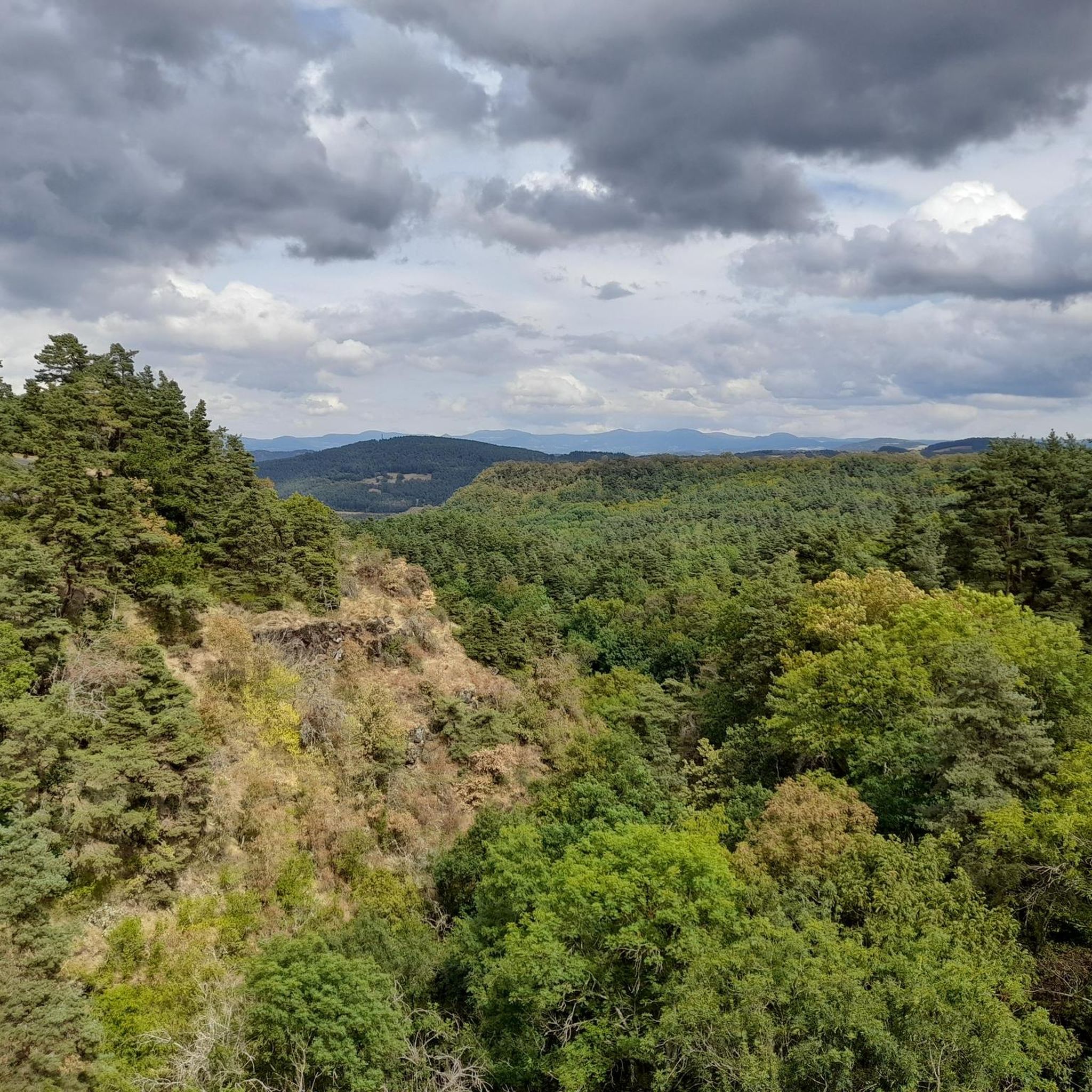
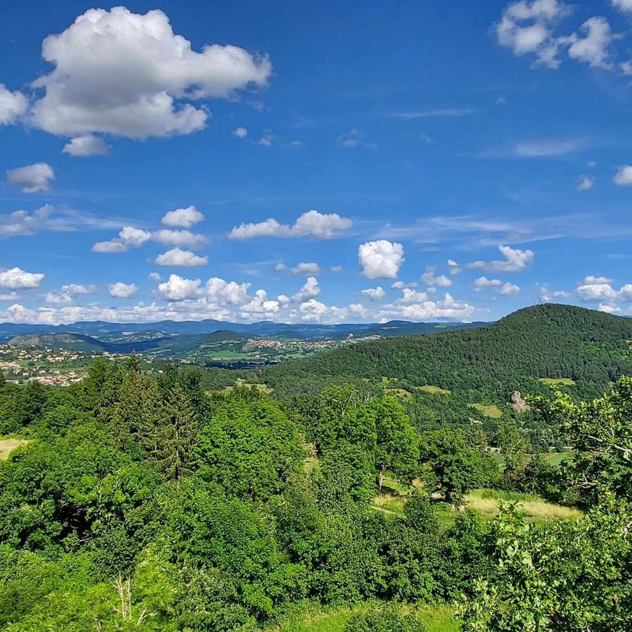
Road cycling routes around Saint-Christophe-Sur-Dolaison traverse a landscape shaped by ancient volcanic activity, featuring distinct red and black soils and basaltic formations. The region sits on the Devès plateau, offering expansive views and varied terrain for cyclists. River valleys, including those of the Dolaizon and Gazelle, cut through the area, providing diverse backdrops for rides. The average altitude of 900 meters ensures consistent elevation changes across the routes.
Best road cycling routes around Saint-Christophe-Sur-Dolaison
- The most popular road cycling route…
Last updated: October 18, 2026
5.0
(8)
30
riders
40.1km
01:54
500m
500m
Moderate road ride. Good fitness required. Mostly well-paved surfaces and easy to ride.
5.0
(1)
21
riders
72.9km
03:44
1,280m
1,280m
Hard road ride. Very good fitness required. Mostly well-paved surfaces and easy to ride.

6
riders
Moderate road ride. Good fitness required. Some segments of this route may be unpaved and difficult to ride.
9
riders
Moderate road ride. Good fitness required. Mostly well-paved surfaces and easy to ride.
5.0
(1)
7
riders
51.1km
02:24
550m
550m
Moderate road ride. Good fitness required. Mostly well-paved surfaces and easy to ride.
Get access to more routes and recommendations from other explorers.
Already have an account?
Our route recommendations are based on thousands of hikes, rides, and runs completed by other people on komoot.
Start today with a free account
Your next adventure awaits.

Tips from the Community

On our Camino / GR65 path: https://youtu.be/xZkbnoCtUzE
0
0

Chanteuge and St-Arcon are two typical old villages. To discover them, you have to take the small streets.
0
0
On our Camino route https://youtu.be/xZkbnoCtUzE
0
0


Very pleasant, shaded, a restaurant, swimming possible all around the lake
0
0

This small village is enhanced by the 12th century abbey which stands out on its heights. Climbing there also offers beautiful views of the surrounding area.
1
0
At the exit of Prades, an impressive rock formation stands opposite the bridge which straddles the Allier. Right next door, a charming little beach invites you to stop and cool off in this magnificent basalt environment.
1
0
Frequently Asked Questions
What kind of terrain can I expect when road cycling around Saint-Christophe-sur-Dolaison?
The region's landscape is uniquely shaped by ancient volcanic activity, offering distinct red and black soils and basaltic formations. You'll cycle across the Devès plateau, which provides expansive views and varied terrain, including rolling hills and river valleys like the Dolaizon and Gazelle. The average altitude of 900 meters means consistent elevation changes, making for engaging rides.
Are there many road cycling routes available in Saint-Christophe-sur-Dolaison?
Yes, there are over 300 road cycling routes in the Saint-Christophe-sur-Dolaison area. These routes cater to various skill levels, from moderate loops to challenging rides with significant elevation gain, ensuring options for different abilities.
What are some notable natural features or landmarks I can see while cycling in the region?
The area is rich in natural beauty and historical sites. You can encounter features like the basaltic Devès plateau and picturesque river valleys. Specific natural highlights include the Beaume Waterfall and the Montjoie Viewpoint. Historically, the region is part of the Via Podiensis, a Camino de Santiago pilgrimage route, featuring an 11th-century Romanesque church in the village itself.
Are there any routes that feature waterfalls?
Yes, you can explore routes that pass by beautiful natural features. For instance, the Les Bineyres Waterfall loop from Bains is a 40 km trail that leads through river valleys and past natural features, including waterfalls.
What is the best time of year for road cycling in Saint-Christophe-sur-Dolaison?
The region offers enjoyable cycling conditions through much of the year, but spring and autumn typically provide the most pleasant temperatures and vibrant scenery. Summer can also be excellent, though some days might be warmer, especially on exposed plateau sections. Always check local weather forecasts before heading out.
What do other road cyclists enjoy most about the routes here?
The road cycling routes around Saint-Christophe-sur-Dolaison are highly rated by the komoot community, with an average score of 4.39 stars from over 90 reviews. Cyclists often praise the varied terrain, the unique volcanic landscapes, and the challenging elevation gains that make for rewarding rides.
Are there any family-friendly road cycling options in the area?
While many routes feature significant elevation changes, there are options for varying ability levels. For easier rides, look for routes described as 'moderate' or those that stick to flatter sections of the river valleys. It's always best to check the route details and elevation profile on komoot to ensure it matches your family's fitness level.
Can I find circular road cycling routes starting from Saint-Christophe-sur-Dolaison?
Yes, many of the road cycling routes in the area are designed as loops, allowing you to start and finish in the same location. An example is the Saint Christopher's Church – Beautiful view loop from Bains, which offers a scenic circular ride.
Is it possible to access road cycling routes using public transport?
Saint-Christophe-sur-Dolaison is only a few kilometers from Le Puy-en-Velay, a larger town that serves as a regional hub. While direct public transport options to specific trailheads might be limited, Le Puy-en-Velay offers more connections, and you may find local services or taxi options that can accommodate bikes to reach starting points for your rides.
Where can I find parking for road cycling routes in Saint-Christophe-sur-Dolaison?
Parking is generally available in and around the village of Saint-Christophe-sur-Dolaison, as well as in nearby towns like Bains, which serve as common starting points for many routes. Look for designated parking areas or consult local signage upon arrival.
Are there any challenging routes for experienced road cyclists?
Absolutely. The region is known for its challenging terrain with significant elevation gains. Routes like Saint-Privat-d'Allier – The Organ Pipes of Prades loop from Bains, a 100.8 km trail with over 1800 meters of elevation gain, offer a demanding experience for very fit cyclists. Another difficult option is the Saint-Privat-d'Allier – Saugues Town Center loop from Séneujols.
Are there places to stop for refreshments or accommodation along the routes?
Saint-Christophe-sur-Dolaison and nearby villages offer local amenities. You'll find cafes and small shops in the main settlements. For more extensive options, including a wider range of cafes, pubs, and accommodation, the nearby city of Le Puy-en-Velay is easily accessible and provides numerous choices for cyclists.
Most popular routes around Saint-Christophe-Sur-Dolaison
Most popular attractions around Saint-Christophe-Sur-Dolaison

Get inspired with the komoot mobile app


Explore more
Browse the best Road cycling routes in other regions.
