The best running trails around Oberfillen
4.6
(51)
1,638
runners
160
runs
Jogging routes around Oberfillen traverse an idyllic landscape within the North Palatine Uplands, situated at the foot of the Palatinate Forest. The region features hills like the Königsberg and Herrmannsberg, with the Lauter river flowing through parts of the area. This varied terrain offers a mix of forest paths, riverside trails, and open areas suitable for running.
Best jogging routes around Oberfillen
- The most popular jogging route is Steinbesch – Bas-Steinbesch loop from Créhange, a 11.8 miles (19.0 km)…
Last updated: July 5, 2026
79
runners
19.0km
02:12
230m
230m
Hard run. Very good fitness required. Mostly paved surfaces. Suitable for all skill levels.
12
runners
9.71km
01:05
100m
100m
Moderate run. Good fitness required. Mostly paved surfaces. Suitable for all skill levels.

Sign up for free
9
runners
5.46km
00:34
60m
60m
Moderate run. Good fitness required. Mostly paved surfaces. Suitable for all skill levels.
7
runners
5.37km
00:38
70m
70m
Moderate run. Good fitness required. Mostly paved surfaces. Suitable for all skill levels.
5
runners
8.92km
00:59
110m
110m
Moderate run. Good fitness required. Mostly paved surfaces. Suitable for all skill levels.
Get access to more routes and recommendations from other explorers.
Sign up for free
Already have an account?
Our route recommendations are based on thousands of hikes, rides, and runs completed by other people on komoot.
Start today with a free account
Your next adventure awaits.
Login or Signup

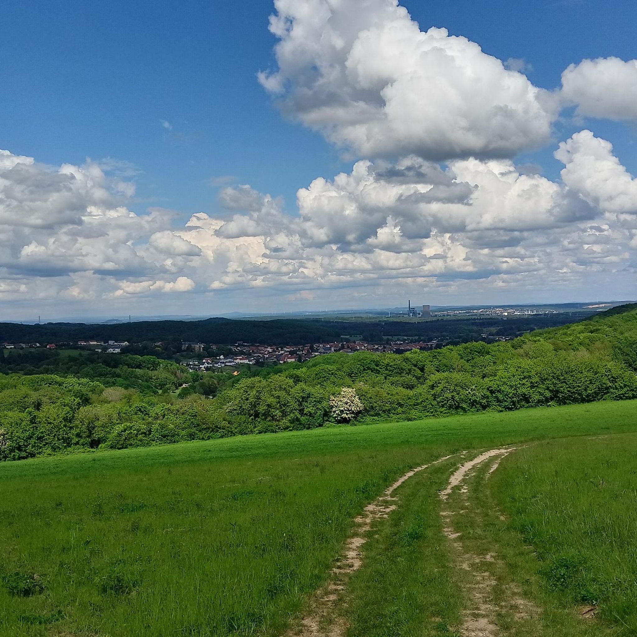
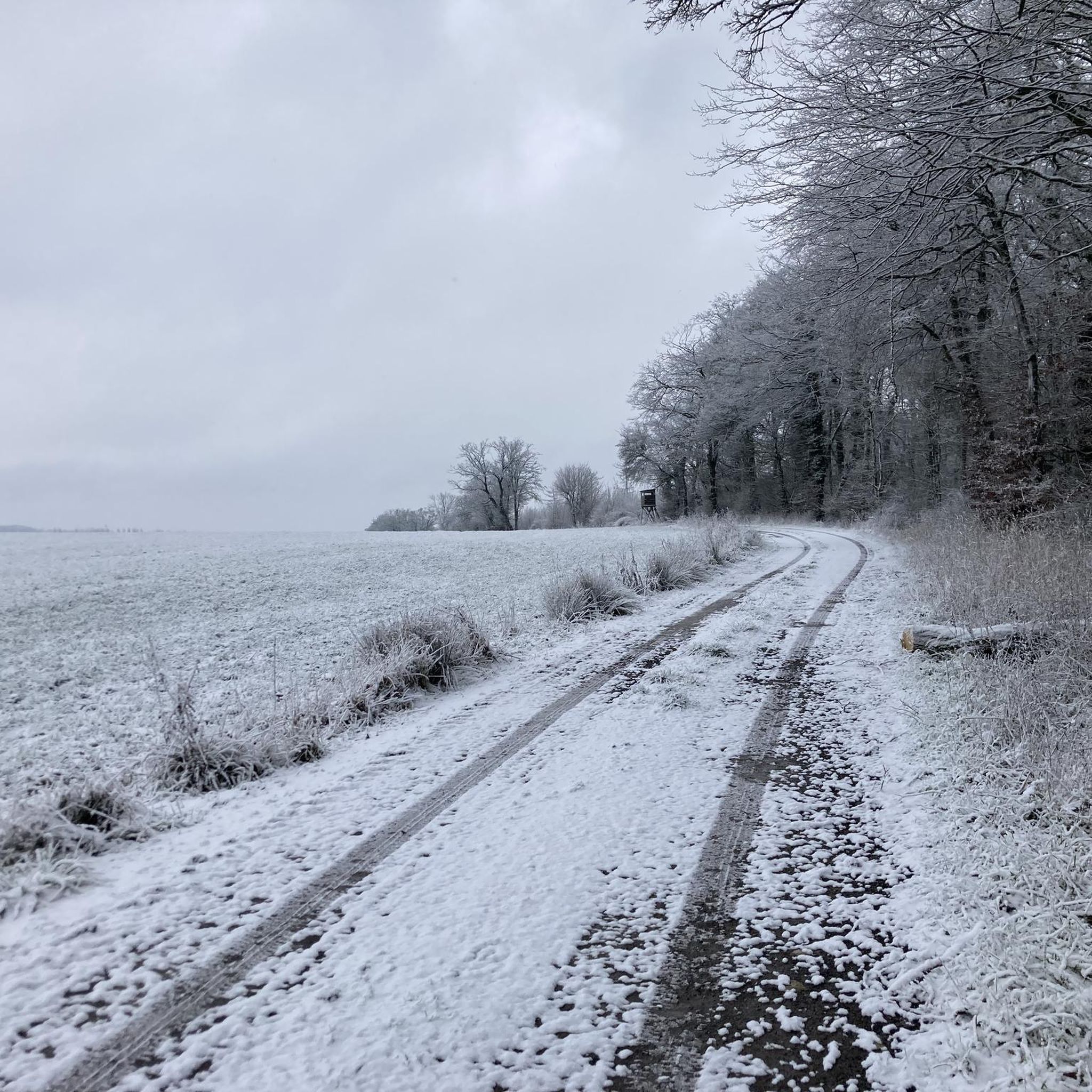
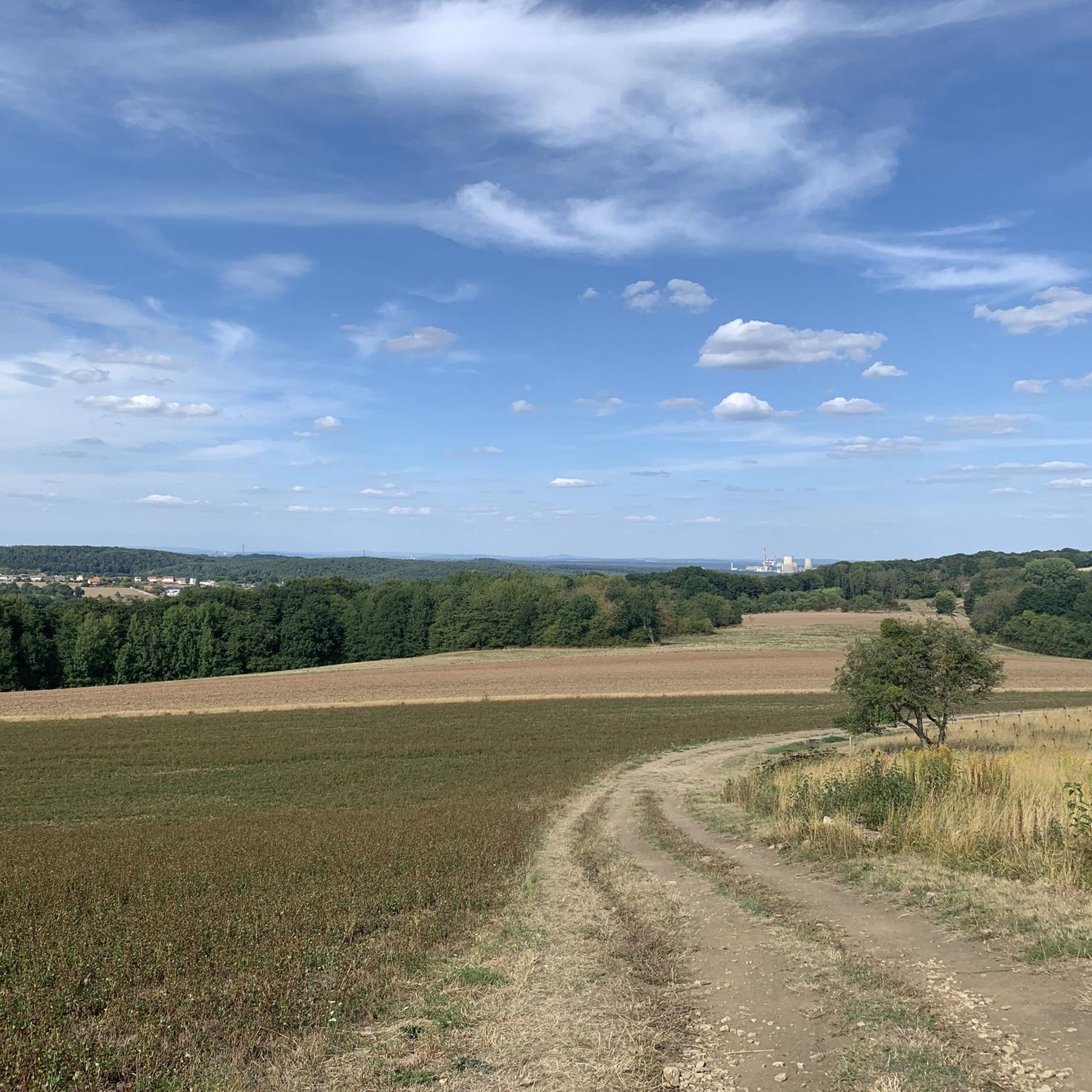
Tips from the Community

The Maginot Line: The French Wall | ARTE https://youtu.be/Bvtxa08ysgc For those who would like to know more about the Maginot Line: de.wikipedia.org/wiki/Liste_der_Ouvrages_der_Maginot-Linie
1
0
Frequently Asked Questions
How many running routes are available around Oberfillen?
There are over 170 diverse running routes in the Oberfillen area, catering to various fitness levels. You'll find a good mix, including 13 easy routes perfect for beginners, 123 moderate trails, and 34 more challenging options for experienced runners.
Are there easy running routes suitable for beginners in the Oberfillen area?
Yes, the Oberfillen region offers several easy running routes ideal for beginners. There are 13 routes specifically categorized as easy, providing a gentle introduction to the area's beautiful landscapes. These often feature less elevation gain and well-maintained paths.
What kind of terrain can I expect on jogging trails near Oberfillen?
Jogging routes around Oberfillen traverse an idyllic landscape within the North Palatine Uplands, at the foot of the Palatinate Forest. You can expect a varied terrain including forest paths, riverside trails along the Lauter river, and open areas. Hills like the Königsberg and Herrmannsberg also contribute to the diverse landscape, offering both flat sections and moderate climbs.
Can I find circular running routes in Oberfillen?
Yes, many of the running routes in the Oberfillen area are circular, allowing you to start and finish at the same point. For example, the Running loop from Tritteling-Redlach is a popular moderate circular path, and the Running loop from Créhange offers a shorter, scenic loop.
Are there any long-distance running trails for experienced runners?
Absolutely. For experienced runners seeking a challenge, there are 34 difficult routes available. A notable long-distance option is the Steinbesch – Bas-Steinbesch loop from Créhange, which spans 11.8 miles (19.0 km) and features significant elevation gain through varied terrain.
Are the running trails around Oberfillen dog-friendly?
While specific regulations for dogs on every trail can vary, the natural setting of the North Palatine Uplands and Palatinate Forest generally welcomes dogs, especially on hiking and running paths. It's always recommended to keep dogs on a leash, especially in nature reserves or near wildlife, and to clean up after them.
What are some scenic viewpoints or attractions I can see while running?
The region offers several points of interest. While running, you might encounter historical sites like the Maginot Line or the Ouvrage de l'Einseling – Maginot Line Bunker 36 Castelberg. For natural beauty, the Mont Saint-Pierre offers scenic views. The Bitburg Reservoir, though a bit further, is known for its five-kilometer circular trail and beautiful waterside scenery.
What do other runners say about the jogging routes in Oberfillen?
The running routes in Oberfillen are highly rated by the komoot community, with an impressive average score of 4.7 stars from over 30 reviews. More than 1500 runners have explored the area, often praising the varied terrain, the peaceful forest paths, and the well-maintained trails that cater to different ability levels.
Is it possible to access running trails around Oberfillen using public transport?
Access to specific trailheads by public transport can vary. While the region is generally well-connected, it's advisable to check local bus or train schedules for stops closest to your desired starting point. Larger towns nearby may offer better public transport links to the surrounding natural areas.
Where can I park my car when visiting running routes in Oberfillen?
Parking availability will depend on the specific trailhead you choose. Many popular starting points for outdoor activities in regions like the Palatinate Forest often have designated parking areas. Look for signs for 'Wanderparkplatz' (hiking parking) or check the route details on komoot for specific parking recommendations near the start of your chosen running trail.
Are there any family-friendly running options in the region?
Yes, the diverse network of trails includes options suitable for families. While specific 'family-friendly' routes are not explicitly listed, the 13 easy routes are generally good choices. The circular trail around the nearby town of Wolfstein, mentioned in regional research, is also known for being family-friendly and offers scenic views.
What is the best time of year to go jogging in Oberfillen?
The Oberfillen region, with its natural landscapes, is enjoyable for jogging throughout much of the year. Spring and autumn offer pleasant temperatures and beautiful scenery with blooming flowers or vibrant fall foliage. Summer is also great, especially for shaded forest paths. Winter jogging is possible, but conditions may vary, so checking local weather is advised.
Can I find running routes with opportunities for a coffee break or refreshments?
While specific cafes directly on every trail are not guaranteed, many routes pass through or near small villages and towns in the region. These often have local bakeries, cafes, or guesthouses where you can stop for refreshments. Planning your route to include a village stop can enhance your running experience.
Most popular routes around Oberfillen
Most popular attractions around Oberfillen

Get inspired with the komoot mobile app


Explore more
Browse the best Running Trails & Routes in other regions.
