The best walks and hikes around Oberfillen
4.6
(346)
1,678
hikers
207
hikes
Hiking around Oberfillen offers a network of trails through varied terrain. The region features a mix of wooded areas, open fields, and historical sites, including remnants of the Maginot Line. Elevation changes are generally moderate, making many routes accessible for different fitness levels. The landscape provides opportunities for both shorter walks and longer day hikes near Oberfillen.
Best hiking trails around Oberfillen
- The most popular hiking route is Ouvrage de Bambesch – Maginot Line loop from Bambiderstroff, a 9.6…
Last updated: July 5, 2026
5.0
(4)
25
hikers
15.4km
04:11
220m
220m
Moderate hike. Good fitness required. Easily-accessible paths. Suitable for all skill levels.
7
hikers
7.76km
02:06
110m
110m
Moderate hike. Good fitness required. Easily-accessible paths. Suitable for all skill levels.

Sign up for free
5.0
(1)
11
hikers
3.28km
00:53
50m
50m
Easy hike. Great for any fitness level. Easily-accessible paths. Suitable for all skill levels.
5.0
(3)
7
hikers
8.81km
02:21
100m
100m
Moderate hike. Good fitness required. Easily-accessible paths. Suitable for all skill levels.
5.0
(2)
4
hikers
8.60km
02:21
140m
140m
Moderate hike. Good fitness required. Easily-accessible paths. Suitable for all skill levels.
Get access to more routes and recommendations from other explorers.
Sign up for free
Already have an account?
Our route recommendations are based on thousands of hikes, rides, and runs completed by other people on komoot.
Start today with a free account
Your next adventure awaits.
Login or Signup

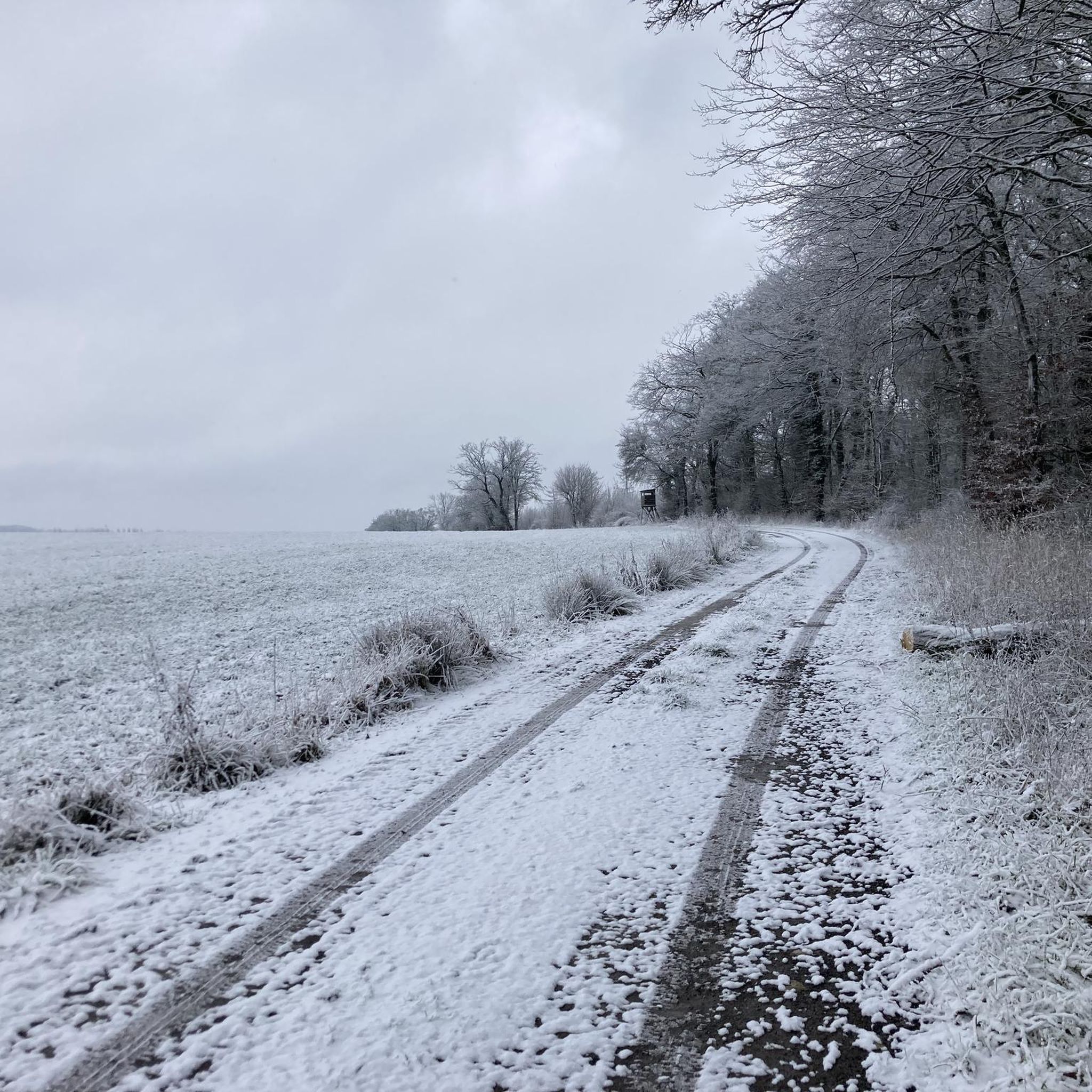
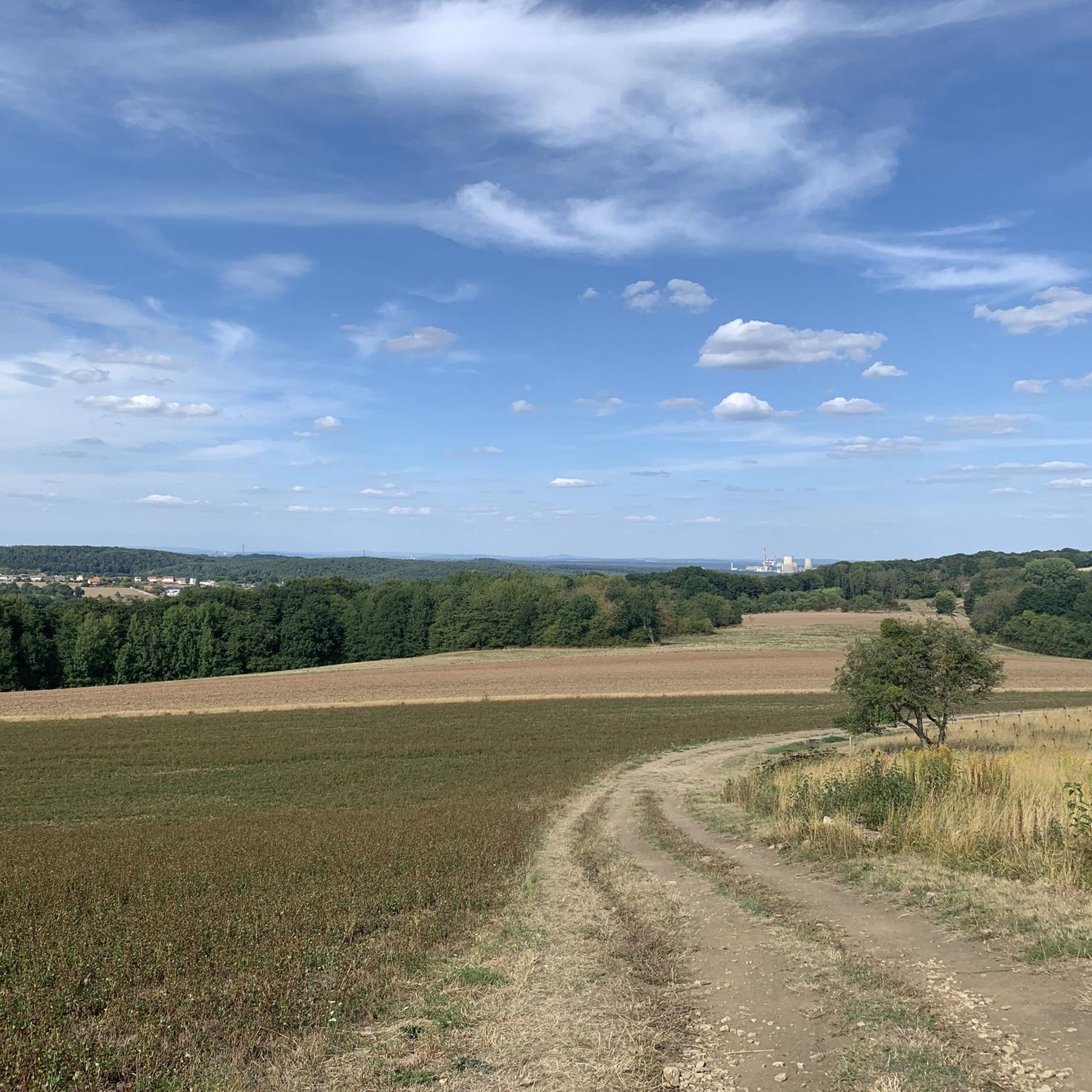

Tips from the Community

The Kerfent fort is a Maginot Line fortification located in the Faulquemont fortified sector in Moselle, not far from the former Zimming security barracks. Its name originates from a wood located north of National Route 3. Along with its neighbor, the Bambesch wood, it defended this important passage against a potential invasion. According to Marshal Pétain, this was "the heart of the Maginot Line." However, despite the fifteen blocks planned in the initial designs, this fortification was significantly reduced in size due to budget cuts: the artillery blocks, the separate entrance, and the defensive emplacements for a hypothetical anti-tank ditch were eliminated during construction, ultimately resulting in the building of a simple, small infantry fortification. The main construction work (concrete pouring) was completed in 1932.
0
0
The Einseling fortification is a single-block fortified structure of the Maginot Line located in the fortified sector of Faulquemont, between the communes of Bambiderstroff and Longeville-lès-Saint-Avold. Its name comes from the Finselingerberg hill on which it is built. When it was projected by the CORF in the 1930s, the army used old German maps where the Gothic script annotations were misinterpreted: the F in Finseling was transformed into an E.
1
0


The Maginot Line: The French Wall | ARTE https://youtu.be/Bvtxa08ysgc For those who would like to know more about the Maginot Line: de.wikipedia.org/wiki/Liste_der_Ouvrages_der_Maginot-Linie
1
0

This work is part of the fortifications of the infamous Maginot line. It is made up of three combat blocks, one of which serves as the entrance. It is possible to visit the interior two Sundays a month. The opening dates are available on the book's website: https://www.lebambesch.com/visiter-le-bambesch/.
3
0
Frequently Asked Questions
How many hiking trails are available around Oberfillen?
There are nearly 200 hiking trails around Oberfillen, offering a wide range of options. This includes over 60 easy routes, 125 moderate trails, and a few more challenging options for experienced hikers.
Are there easy hiking trails suitable for beginners in Oberfillen?
Yes, Oberfillen offers over 60 easy hiking trails perfect for beginners or those looking for a relaxed walk. These routes typically feature moderate elevation changes and well-maintained paths, making them accessible for various fitness levels.
What kind of terrain can I expect on hikes around Oberfillen?
Hikes around Oberfillen feature a diverse landscape, including a mix of peaceful wooded areas, expansive open fields, and significant historical sites. You'll encounter moderate elevation changes, making most routes enjoyable without being overly strenuous.
Are there any family-friendly hiking options in Oberfillen?
Yes, many of the easy and moderate trails in Oberfillen are suitable for families. The region's generally moderate elevation changes and varied scenery, including historical points of interest, can keep younger hikers engaged. Look for shorter, well-marked loops for the best family experience.
Can I bring my dog on the hiking trails in Oberfillen?
Most hiking trails in Oberfillen are dog-friendly, allowing you to explore the natural beauty with your canine companion. However, always ensure your dog is on a leash, especially in areas with wildlife or near agricultural land, and remember to carry waste bags.
Are there any circular walks available in Oberfillen?
Yes, Oberfillen offers numerous circular walks, perfect for returning to your starting point without retracing your steps. A popular option is the Bambesch – Ouvrage de Bambesch loop from Zimming, a moderate 4.9-mile (7.8 km) path that explores the local countryside and historical sites.
What historical sites can I see while hiking in Oberfillen?
The Oberfillen region is rich in history, particularly featuring remnants of the Maginot Line. You can explore sites like the Maginot Line itself, or the Ouvrage de l'Einseling – Maginot Line Bunker 36 Castelberg. The Ouvrage de Bambesch – Maginot Line loop from Bambiderstroff is a great route to experience these fortifications.
Are there any scenic viewpoints along the trails?
Yes, the region offers several spots with good views. For a notable viewpoint, consider visiting Mont Saint-Pierre. Many trails also pass through open fields and elevated sections, providing panoramic vistas of the surrounding countryside.
What do other hikers enjoy most about hiking in Oberfillen?
The area is highly rated by the komoot community, with an average score of 4.5 stars. Reviewers often praise the well-maintained paths, the blend of natural beauty with historical interest, and the accessibility of routes for various fitness levels. The peaceful atmosphere of the wooded areas is also frequently highlighted.
Is public transport available to access hiking trails in Oberfillen?
While specific trailheads might require a car, some villages near Oberfillen are accessible by local bus services, which could provide access to certain starting points. It's advisable to check local public transport schedules for routes connecting to your desired hiking area.
Where can I find parking for hiking in Oberfillen?
Many trailheads and popular starting points in and around Oberfillen, especially near villages like Bambiderstroff or Zimming, offer designated parking areas. These are typically well-signposted. Always look for official parking to ensure you're not obstructing local traffic or private property.
Are there any longer day hikes for experienced hikers?
Yes, for those seeking a longer challenge, Oberfillen offers several routes that can be combined or are already substantial. The Ouvrage de Bambesch – Maginot Line loop from Bambiderstroff is a good example, covering 9.6 miles (15.4 km) and taking over 4 hours to complete, exploring extensive woodlands and historical sites.
What is the best time of year to go hiking in Oberfillen?
The spring and autumn months are generally ideal for hiking in Oberfillen, offering pleasant temperatures and beautiful scenery. Spring brings blooming wildflowers, while autumn showcases vibrant foliage. Summer can also be enjoyable, especially in the shaded wooded areas, but be prepared for warmer weather.
Most popular routes around Oberfillen
Most popular attractions around Oberfillen

Get inspired with the komoot mobile app


Explore more
Browse the best Hikes in other regions.
