The best MTB trails around Royan
4.5
(208)
770
riders
25
rides
Mountain biking around Royan offers a diverse landscape, characterized by extensive pine forests like La Coubre, a varied coastline with beaches and dunes, and the unique environments of the Gironde and Seudre estuaries. The region features a mix of terrains, including seafront promenades, sandy paths, and tracks winding through dense woodlands. This natural setting provides a rich network of mountain bike trails for various skill levels.
Best mountain bike trails around Royan
- The most popular mountain bike trail is Mountain…
Last updated: October 14, 2026
4.9
(80)
166
riders
49.1km
02:41
290m
290m
Moderate mountain bike ride. Good fitness required. Suitable for all skill levels.
4.8
(43)
146
riders
42.5km
03:08
190m
190m
Moderate mountain bike ride. Good fitness required. Advanced riding skills necessary.

4.5
(15)
79
riders
51.9km
02:52
260m
260m
Moderate mountain bike ride. Good fitness required. Suitable for all skill levels.
4.9
(10)
89
riders
46.6km
03:02
260m
260m
Moderate mountain bike ride. Good fitness required. Suitable for all skill levels.
5.0
(1)
23
riders
76.4km
04:08
270m
270m
Moderate mountain bike ride. Good fitness required. Advanced riding skills necessary.
Get access to more routes and recommendations from other explorers.
Already have an account?
Our route recommendations are based on thousands of hikes, rides, and runs completed by other people on komoot.



Tips from the Community

The Halles of Mornac first appeared in the Middle Ages. It was only in 1664 that the first written proof attested to their existence. They are likely older and could date back to the 1550s. The Halles are generally timber-framed shelters supported by stone pillars and covered with tiles. It can be assumed that, like those of Cozes and Pisany, they suffered the vicissitudes of the Wars of Religion and were damaged, or even destroyed, then rebuilt when peace returned. The site of the Halles of Mornac was a renowned fairground and allowed the inhabitants to sell their products in exchange for a fee paid to the Lord. It was an important source of income for him, which also obliged him to maintain these Halles in perfect condition. An act engaging the Lord and the seller sealed a contract signifying the rights to sell unpacked goods and the maintenance of the said Halles.
0
0

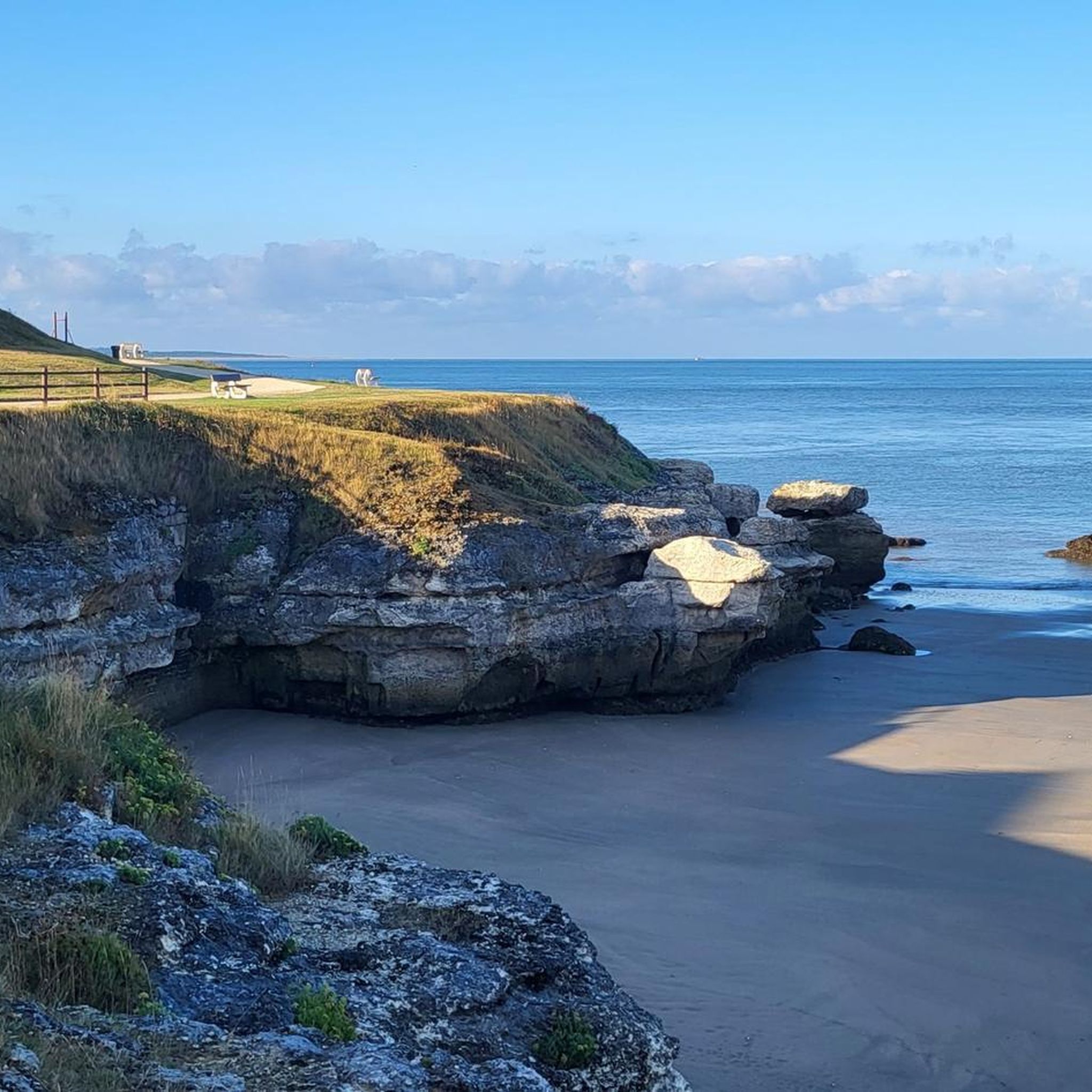
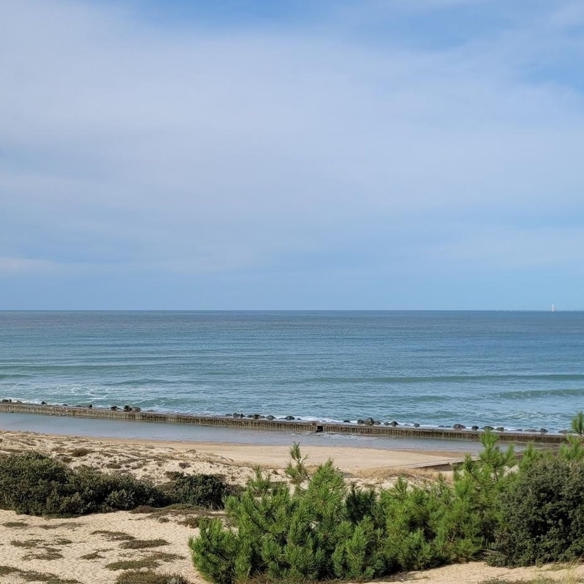
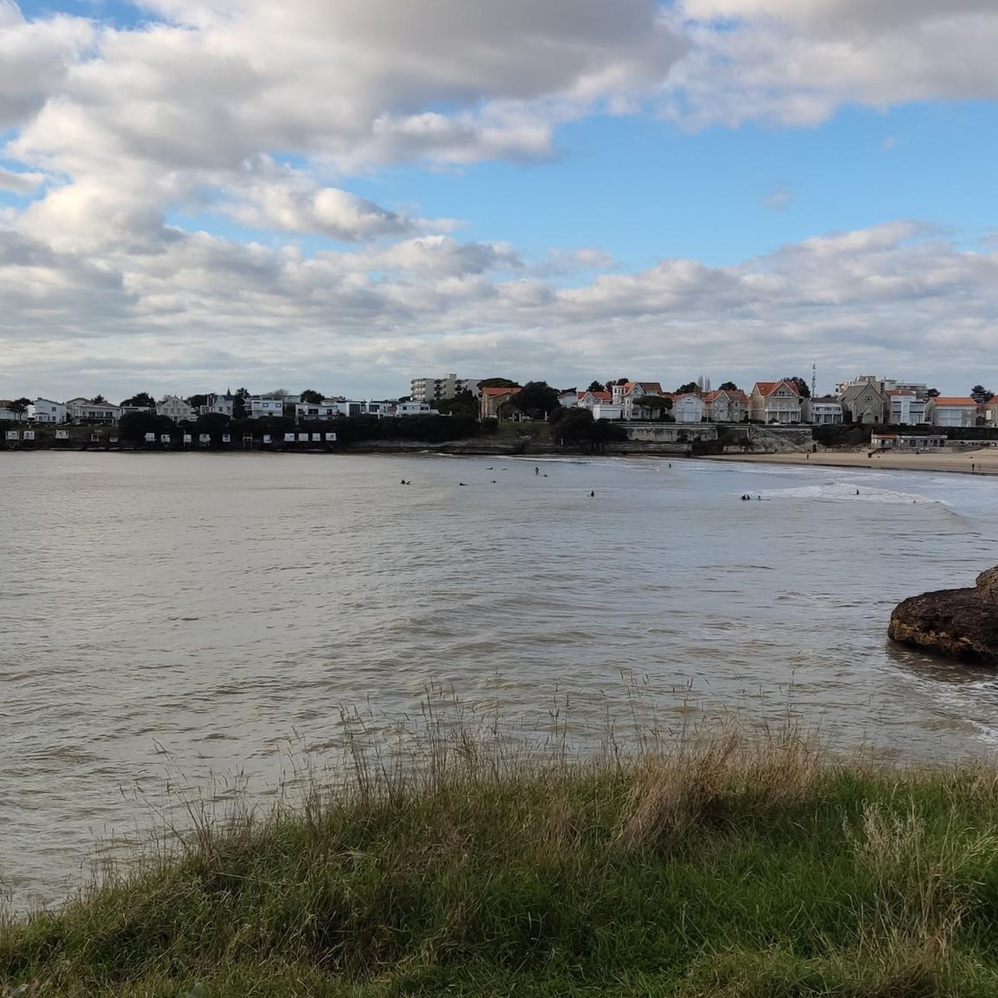
This viewpoint, located near the port of La Palmyre, offers a magnificent panorama of the Atlantic Ocean. It is an ideal place to take a break and enjoy the landscape, between the sea, boats, and surrounding nature. The atmosphere is particularly pleasant, especially at sunrise or sunset, when the colors illuminate the coast. A must-stop during a bike or mountain bike ride on the Charente coast.
2
0
Beautiful view, I recommend it
2
0
Magnificent lighthouse built in the 19th century. I recommend this place
2
0
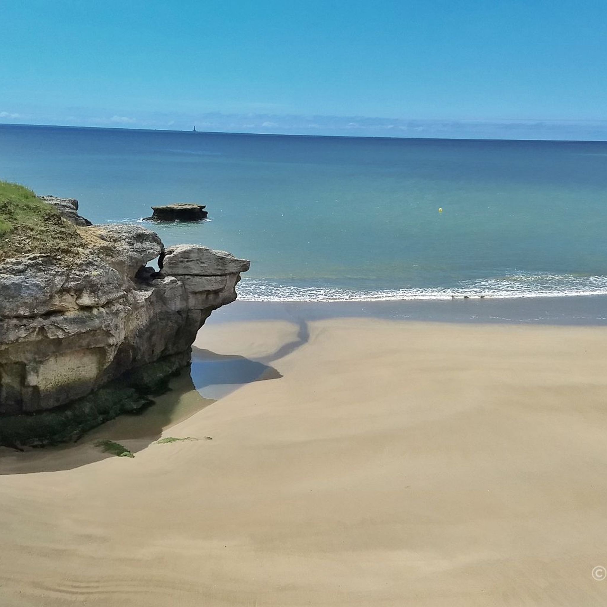
Located on the commune of St-Palais-sur-Mer, at the tip of Terre-Nègre, it is intended to mark the southern passage of the Gironde estuary and to signal the presence of a dangerous sandbank, the la barre à l'Anglais.
0
0

Here you'll find a romantic little lighthouse, and behind it lies a garden with a bench overlooking the sea, a lovely place to stop for a break. Afterwards, you can continue along the cliff to the right until you reach Euro Velo 1 again.
0
0

Hello Yes, it's gravel-friendly. Enjoy these single tracks. It's the most fun part of the area. A forest trail in the shade during heatwaves.
0
0

Frequently Asked Questions
How many mountain bike trails are available around Royan?
Royan Atlantique boasts an extensive network of over 350 km of mountain bike trails. Our guide features 15 curated routes, offering a diverse range of experiences through the region's unique landscapes.
What kind of terrain can I expect on mountain bike trails in Royan?
The terrain around Royan is incredibly varied. You'll find trails winding through extensive pine forests, along diverse coastlines with beaches and dunes, and through the unique environments of the Gironde and Seudre estuaries. This includes seafront promenades, sandy paths, and tracks through dense woodlands.
Are there easy mountain bike trails suitable for beginners or families in Royan?
Yes, Royan offers several easy mountain bike trails perfect for beginners or family outings. Our guide includes 7 routes categorized as easy, providing gentle rides through scenic areas without significant technical challenges.
Where can I find more challenging mountain bike routes in Royan?
For those seeking a greater challenge, Royan has routes that test your skills. Our guide features 2 difficult trails, such as the Ronce-les-Bains mountain bike circuit – La Coubre Lighthouse loop from Royan, which covers over 90 km and includes more elevation gain, winding through varied terrain including the La Coubre forest.
Are there mountain bike trails with scenic views in Royan?
Absolutely. Many trails offer breathtaking views, especially those along the coast. The La Coubre Lighthouse – Promenade des Deux Phares loop from Royan is a prime example, leading through the La Coubre forest and along the Atlantic coast, often providing panoramic sea and beach vistas.
What do other mountain bikers say about the trails in Royan?
The mountain bike trails in Royan are highly regarded by the komoot community, with an average rating of 4.6 stars from over 100 reviews. Riders often praise the diverse landscapes, from playful forest sections to stunning coastal paths, and the well-maintained network that caters to various skill levels.
Are there circular mountain bike routes available in Royan?
Yes, many of the mountain bike trails around Royan are designed as circular routes, allowing you to start and end at the same point. This includes popular options like the This forest is very playful – Matata Caves loop from Royan, which offers an engaging ride through pine forests.
What is the best season for mountain biking in Royan?
Royan is enjoyable for mountain biking throughout much of the year. Spring and autumn offer pleasant temperatures and vibrant scenery. Even in winter, the extensive pine forests provide sheltered trails, and the coastal paths can be invigorating, though checking weather conditions is always advisable.
What can I see along the mountain bike trails in Royan?
Beyond the natural beauty of forests and coastline, you can encounter several interesting points. Highlights include the Saint-Georges-de-Didonne Beach, the unique Grottes de Matata, and the serene Suzac Forest. Many routes also pass by picturesque 'conches' (secluded beaches) and offer glimpses of the Gironde estuary.
Are there any specific attractions or landmarks to look out for while mountain biking near Royan?
Yes, the region is rich with natural and cultural landmarks. The iconic La Coubre Lighthouse is a prominent feature along coastal routes. You can also explore various beaches like Chay Beach and Conche de Gilet, or ride along the Marsh Cycle Path in Meschers-sur-Gironde for a different perspective of the estuaries.
How long do mountain bike trails typically take to complete in Royan?
The duration varies significantly depending on the trail's length and your pace. For instance, a moderate route like the Mountain Bike Trail – MTB Saint-Sulpice-de-Royan loop from Royan, which is about 39.6 km, typically takes around 2 hours 55 minutes. Longer, more challenging routes can take over 5 hours.
Most popular attractions around Royan

Get inspired with the komoot mobile app


Explore more
Browse the best MTB trails in other regions.
