The best cycling routes around Saint-Jean-Bonnefonds
4.2
(398)
4,446
riders
324
rides
Popular cycling routes around Saint-Jean-Bonnefonds traverse a varied landscape, with altitudes ranging from 418 to 663 meters. The terrain features preserved forest environments on its eastern hills and sits on the water divide between the Rhône and Loire river basins. These natural features bike routes Saint-Jean-Bonnefonds offer diverse scenery for touring cyclists.
Best touring cycling routes around Saint-Jean-Bonnefonds
- The most popular touring cycling route is Scenic Route of Saint-Chamond loop from Saint-Jean-Bonnefonds, a 17.9 miles (28.8 km) trail that…
Last updated: July 1, 2026
4.5
(8)
67
riders
28.8km
01:59
510m
510m
Hard bike ride. Very good fitness required. Mostly paved surfaces. Suitable for all skill levels.
4.6
(10)
40
riders
19.5km
01:18
310m
310m
Moderate bike ride. Good fitness required. Mostly paved surfaces. Suitable for all skill levels.

Sign up for free
3.0
(1)
20
riders
18.9km
01:13
250m
250m
Moderate bike ride. Good fitness required. Mostly paved surfaces. Suitable for all skill levels.
2.3
(3)
16
riders
27.5km
01:58
420m
420m
Moderate bike ride. Good fitness required. Mostly paved surfaces. Suitable for all skill levels.
3.0
(1)
15
riders
69.2km
04:50
1,240m
1,240m
Hard bike ride. Very good fitness required. Mostly paved surfaces. Suitable for all skill levels.
Get access to more routes and recommendations from other explorers.
Sign up for free
Already have an account?
Our route recommendations are based on thousands of hikes, rides, and runs completed by other people on komoot.
Start today with a free account
Your next adventure awaits.
Login or Signup

Tips from the Community

on the watershed between the ocean and the Mediterranean
0
0

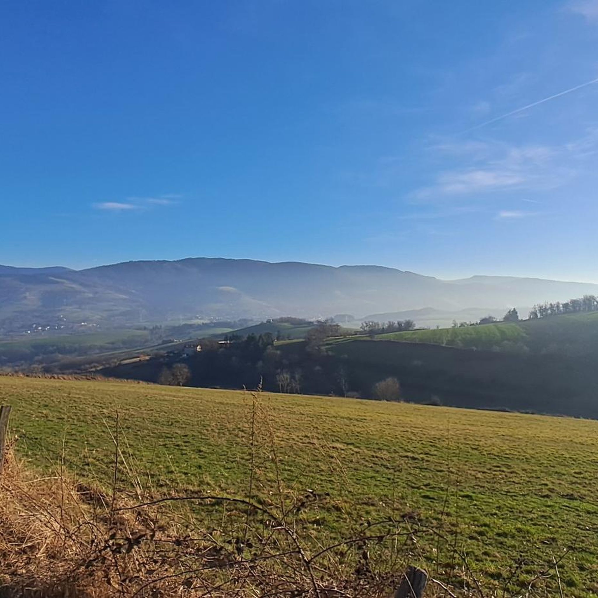
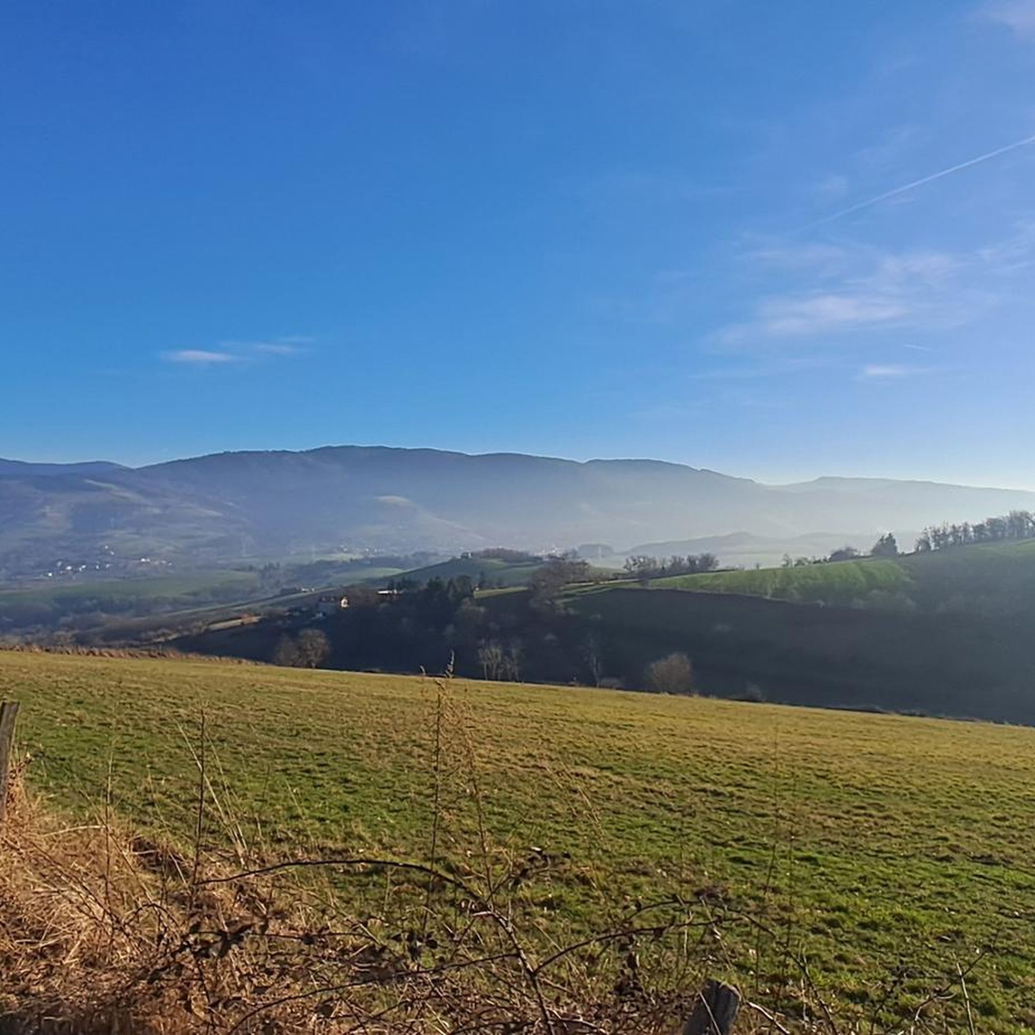
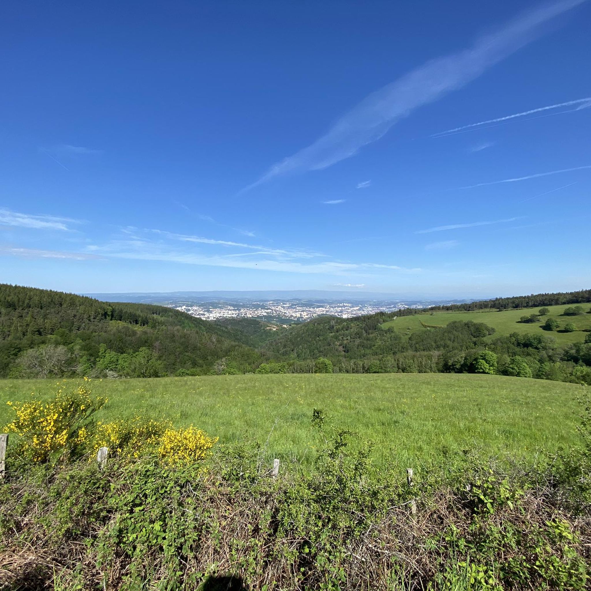
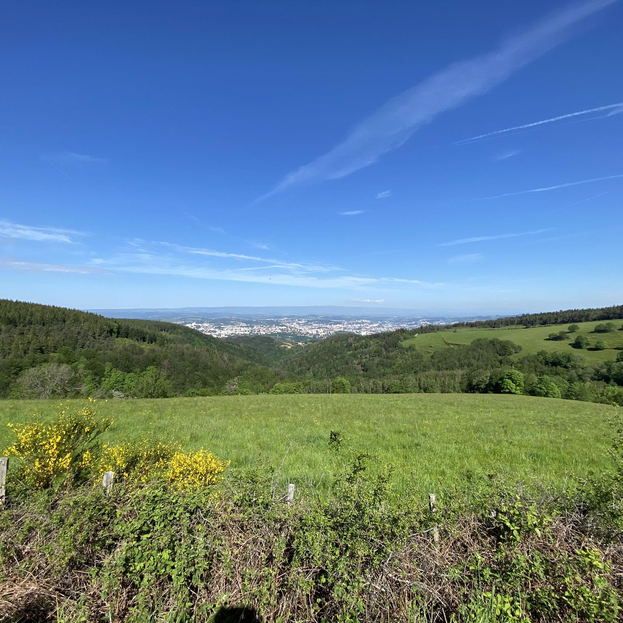
View of the Alps and Monts du Lyonnais
0
0
Pilat and Alps viewpoint
0
0

The Col de la Gachet from Lorette is 11.04 km long with a total drop of 463 m. The average gradient is 4.19% with maximum gradients of 7.6%.
1
0

Very nice view from the walkway of the medieval village of Riverie. On a clear day, you can see the Monts du Diois, the Pilat massif and the Rhône Valley.
1
0

Charming forest path. Which ends in walnut and cherry trees. And a point of view on the orchards of Valfleury.
0
0

Located in the heart of the Lafay Woods in Larajasse, this picturesque bridge spans the Rosson, a small stream that joins the Coise at St Symphorien-sur-Coise.
1
0
Frequently Asked Questions
What kind of terrain can I expect when touring cycling around Saint-Jean-Bonnefonds?
The region offers a varied landscape, with altitudes ranging from 418 to 663 meters. You'll find preserved forest environments on its eastern hills, and routes often traverse the water divide between the Rhône and Loire river basins, providing diverse scenery and a mix of ascents and descents.
How many touring cycling routes are available in the Saint-Jean-Bonnefonds area?
There are over 300 touring cycling routes available around Saint-Jean-Bonnefonds, catering to various skill levels. This extensive network covers a tracked distance of over 1,100 kilometers.
Are there routes suitable for beginners or those looking for an easier ride?
Yes, Saint-Jean-Bonnefonds offers 29 easy touring cycling routes. These paths are generally shorter and have less elevation gain, making them ideal for a relaxed ride through the local countryside.
What are some challenging routes for experienced touring cyclists?
For experienced cyclists, there are over 200 difficult routes. An example is the Scenic Route of Saint-Chamond loop from Saint-Jean-Bonnefonds, which is 28.8 km with over 500 meters of elevation gain. Another challenging option is the Col de la Gachet – Sainte-Croix-en-Jarez loop from La Talaudière, a 70.8 km trail with over 1100 meters of ascent.
What natural features or landmarks can I see along the cycling routes?
The region is rich in natural and man-made attractions. You might encounter impressive structures like the Gouffre d'Enfer Dam or the Pas-du-Riot Dam. For historical interest, Rochetaillée Castle is also nearby. The preserved forest environments on the eastern hills offer shaded routes and natural beauty.
Are there any circular touring cycling routes in the area?
Yes, many routes in Saint-Jean-Bonnefonds are designed as loops, allowing you to start and end at the same point. Examples include the Col de la Gachet loop from La Talaudière, a moderate 18.9 km ride, or the more demanding Hauteurs de Sorbiers – Ascent of Mont Morin loop from La Talaudière.
What do other touring cyclists say about the routes in Saint-Jean-Bonnefonds?
The touring cycling routes around Saint-Jean-Bonnefonds are highly rated by the komoot community, with an average score of 4.3 stars from over 400 reviews. Cyclists often praise the varied terrain, the scenic views, and the well-maintained paths that cater to different skill levels.
What is the best season for touring cycling in Saint-Jean-Bonnefonds?
While enjoyable throughout much of the year, the area is particularly popular for cycling in September. The milder weather and vibrant autumn colors enhance the experience, making it an ideal time to explore the region's diverse landscapes.
Are there any routes that offer panoramic viewpoints?
Given the region's varied altitudes, ranging up to 663 meters, many routes offer excellent viewpoints. The proximity to the Pilat Natural Regional Park also means that extensions to local routes can provide access to its mountainous terrain and panoramic vistas.
Are there specific marked trails for cycling in Saint-Jean-Bonnefonds?
Yes, the commune has developed marked trails that cater to different interests. These include routes with a 'sport and nature' theme and a 'water divide' theme, offering structured and well-indicated paths for touring cyclists.
Can I find routes that pass by lakes or water features?
Yes, the region features several dams and reservoirs. Routes may pass near the Cotatay Dam, Soulages Dam, or the Gier Reservoir, offering picturesque views and tranquil spots for a break.
What is the typical elevation gain on the more difficult routes?
Difficult routes in the area can feature significant elevation gain. For instance, the La croix Blanche – Hauteurs de Sorbiers loop from La Talaudière, a 66.9 km route, includes over 1200 meters of ascent, providing a substantial challenge for touring cyclists.
Most popular routes around Saint-Jean-Bonnefonds
Most popular attractions around Saint-Jean-Bonnefonds

Get inspired with the komoot mobile app


Explore more
Browse the best Cycling routes in other regions.
